Elevation of N Main St, Hardwick, VT, USA
Location: United States > Vermont > Caledonia County > Hardwick >
Longitude: -72.367807
Latitude: 44.503742
Elevation: 258m / 846feet
Barometric Pressure: 98KPa
Elevation Map:
Satellite Map:
Related Photos:

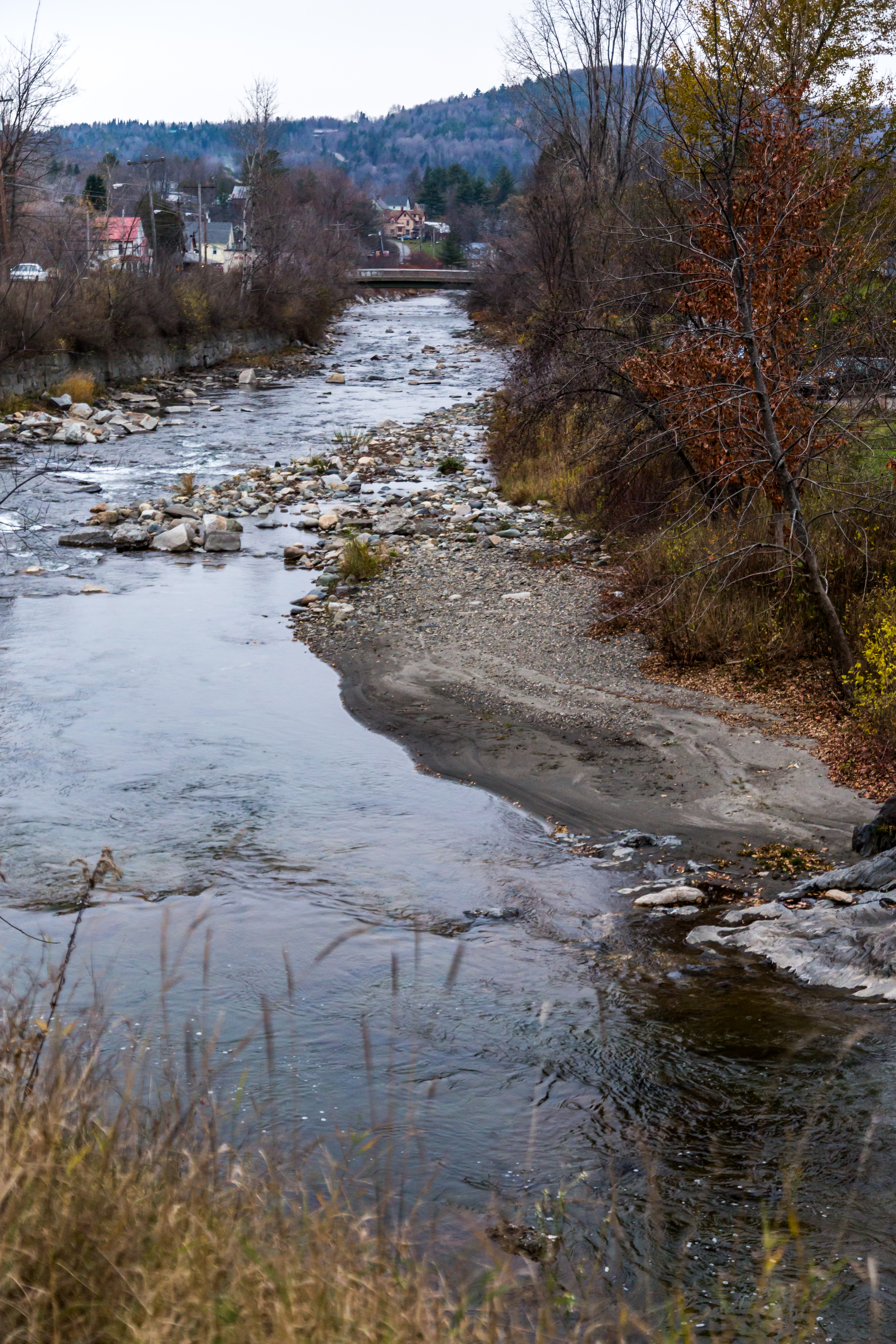
Drive to Stowe - roadside view 5
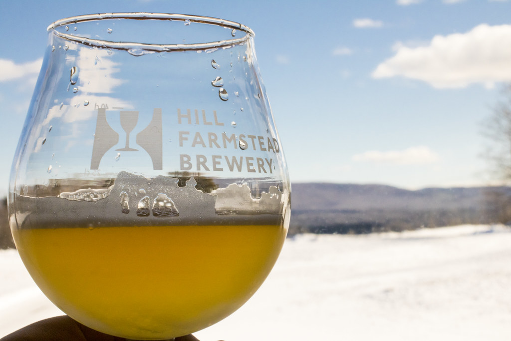
Enjoying the beer at Hill Farmstead

Worcester Waterfall
Drive to Stowe - roadside view 1
Drive to Stowe - roadside view 3

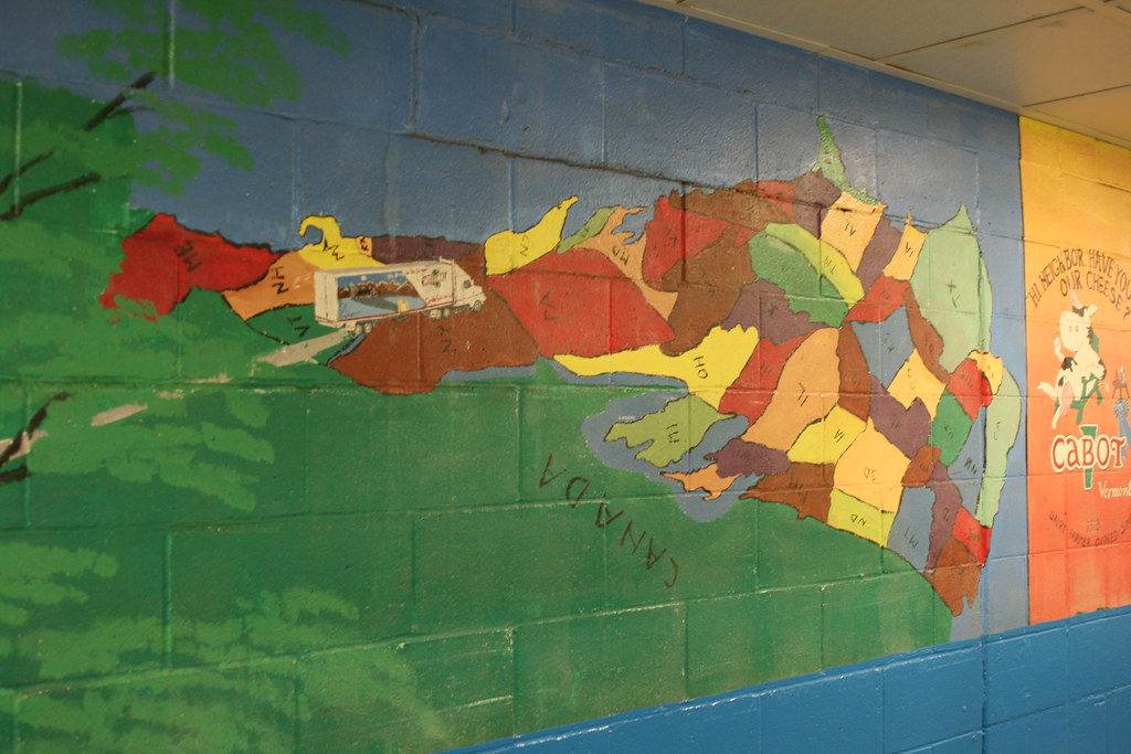
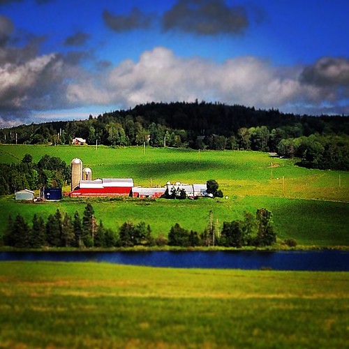
Cabot, VT - Farm
Come for the view, stay because you're dead.
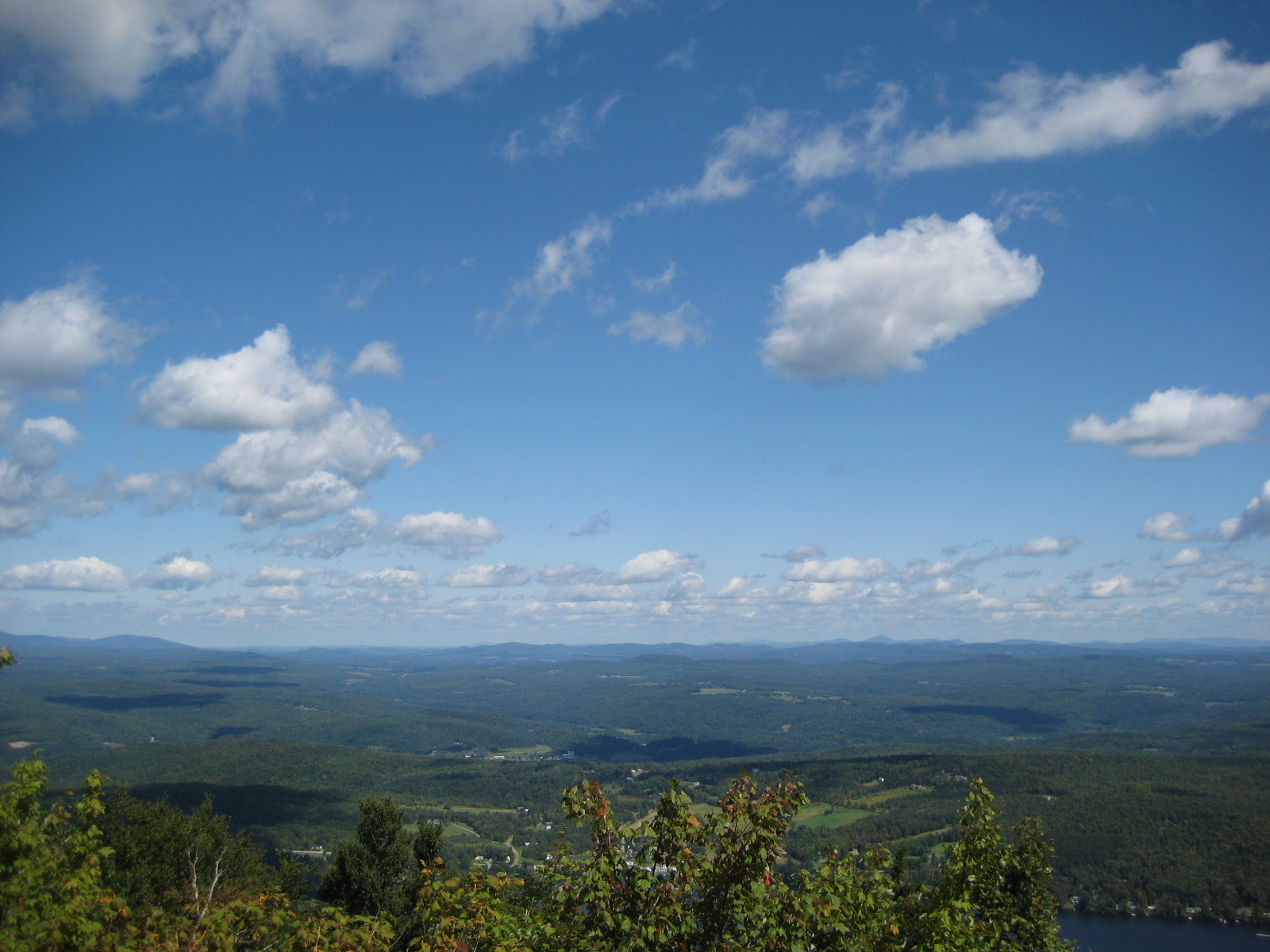
The US as Seen From Vermont

IMG_1350.CR2
View of Lamoille Valley from trail lookout at Mt Elmore at Elmore State Park, VT
IMG_1343.CR2
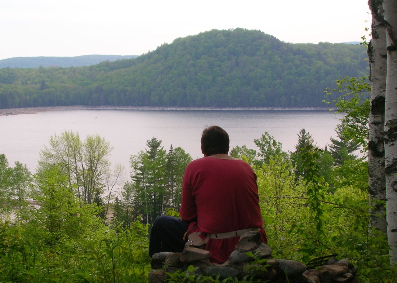
Thoughtful Thorson
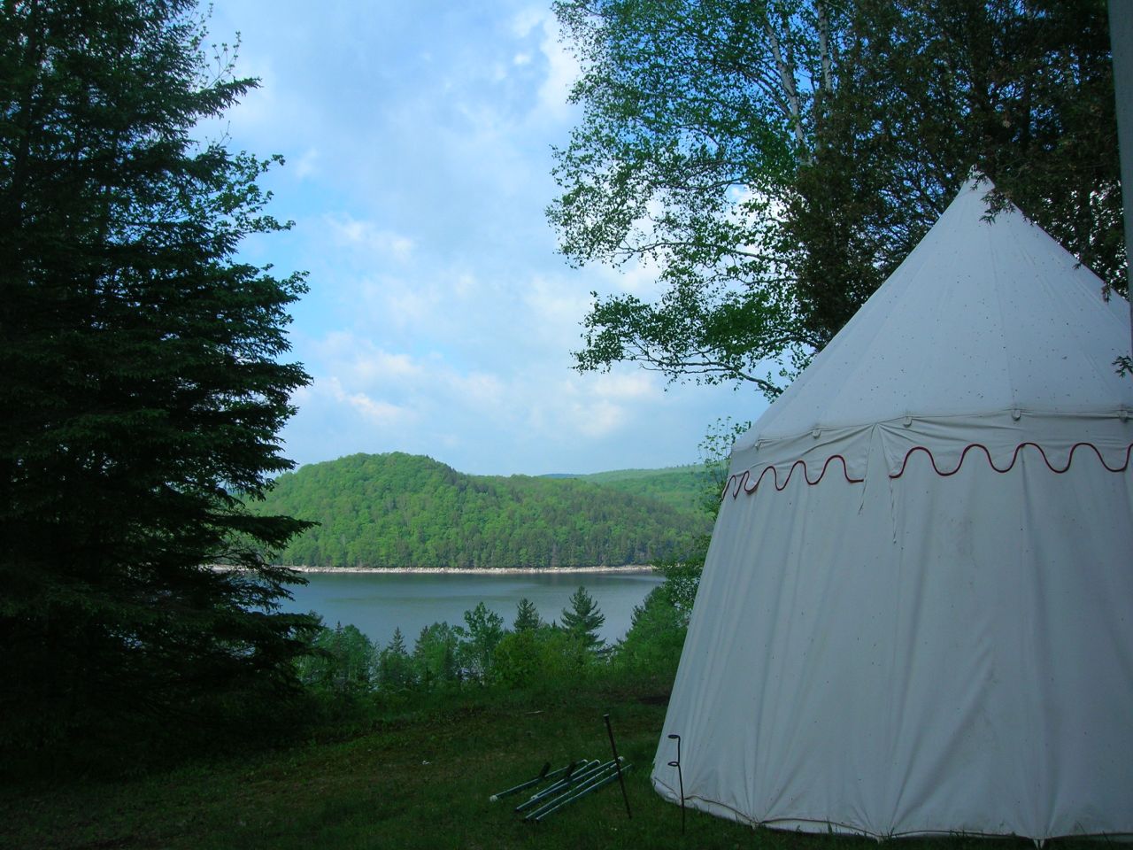
2007-05-27 Panteria View w Tent
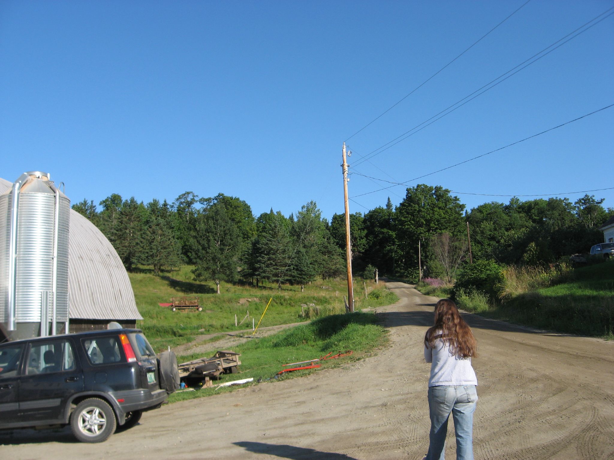
View from the front yard
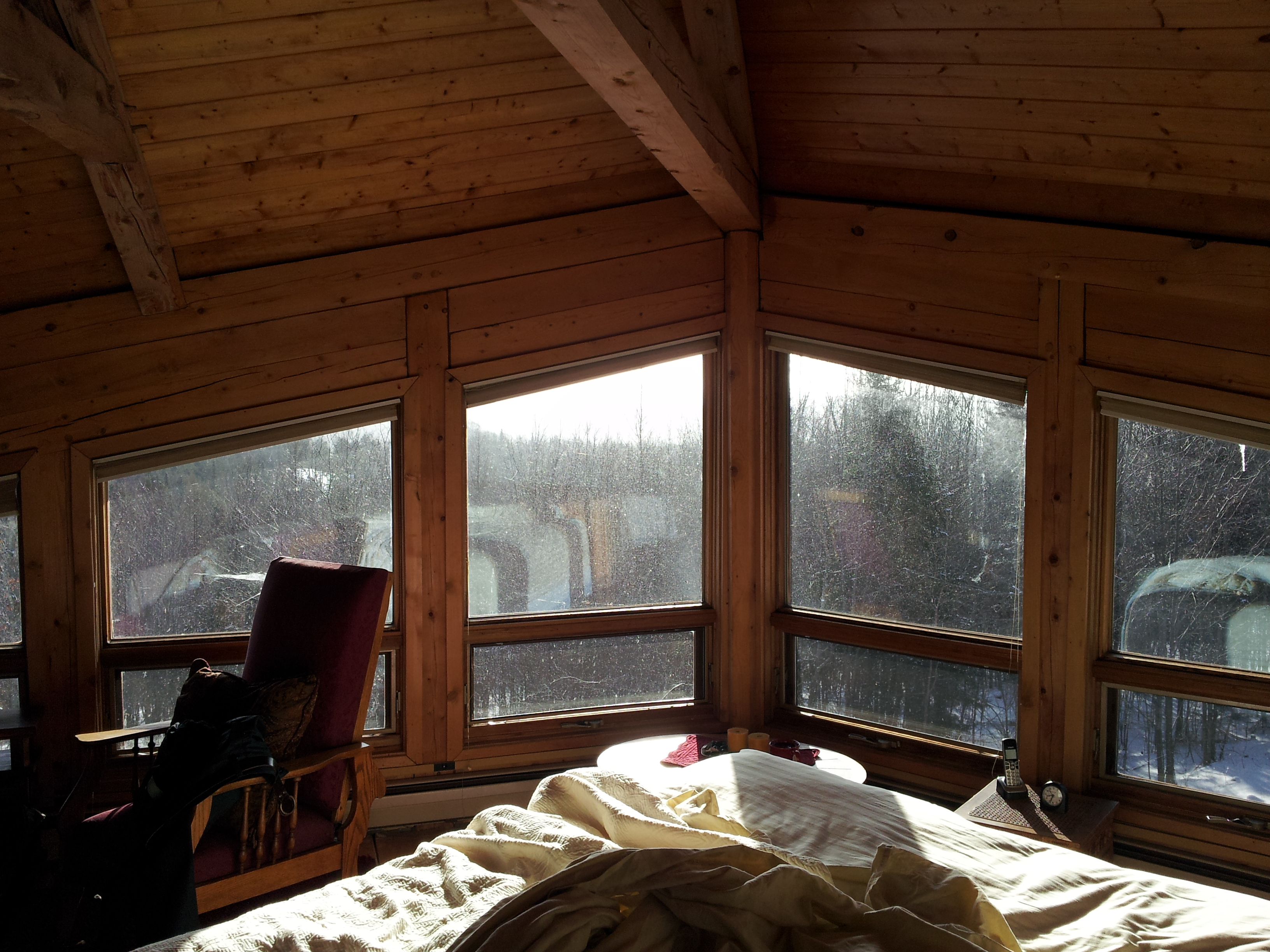
Upstairs Cabin View

Had a great time of fellowship with the Powell family while at Mountain View Campground in Vermont
View of the new cave site
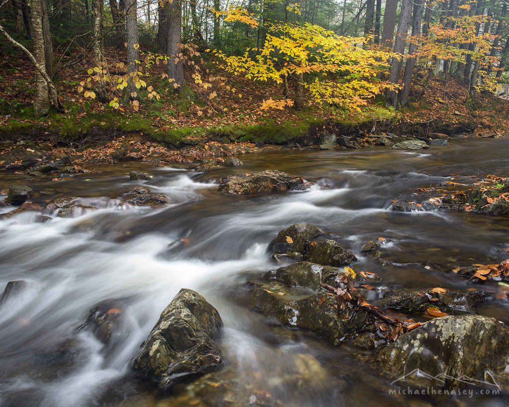
Little Falls

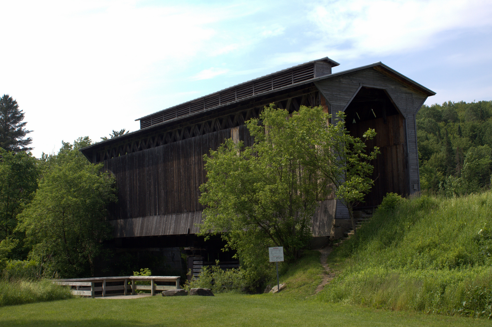
A.M. Foster Covered Bridge

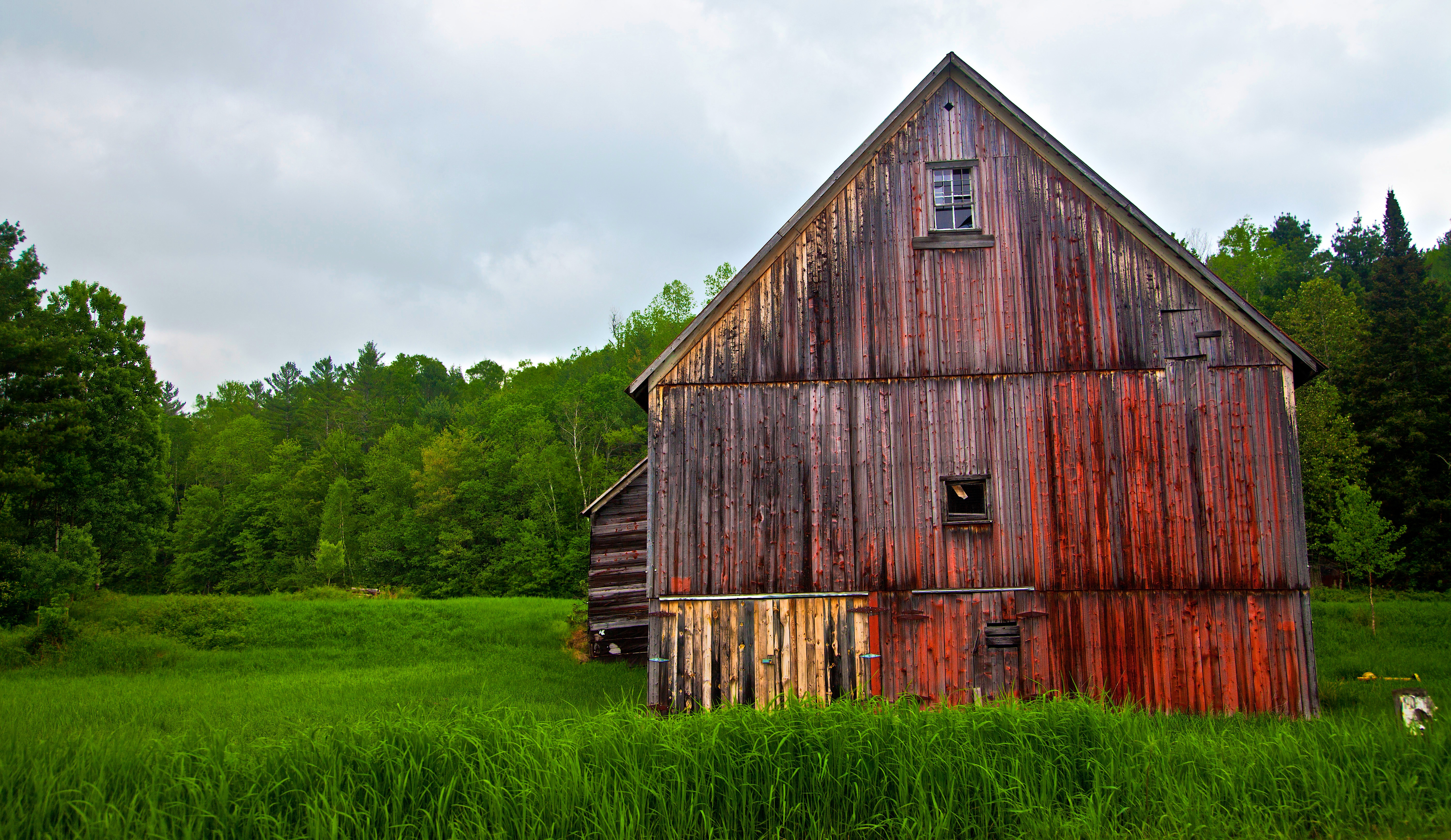
Vermont Red Barn Sunset
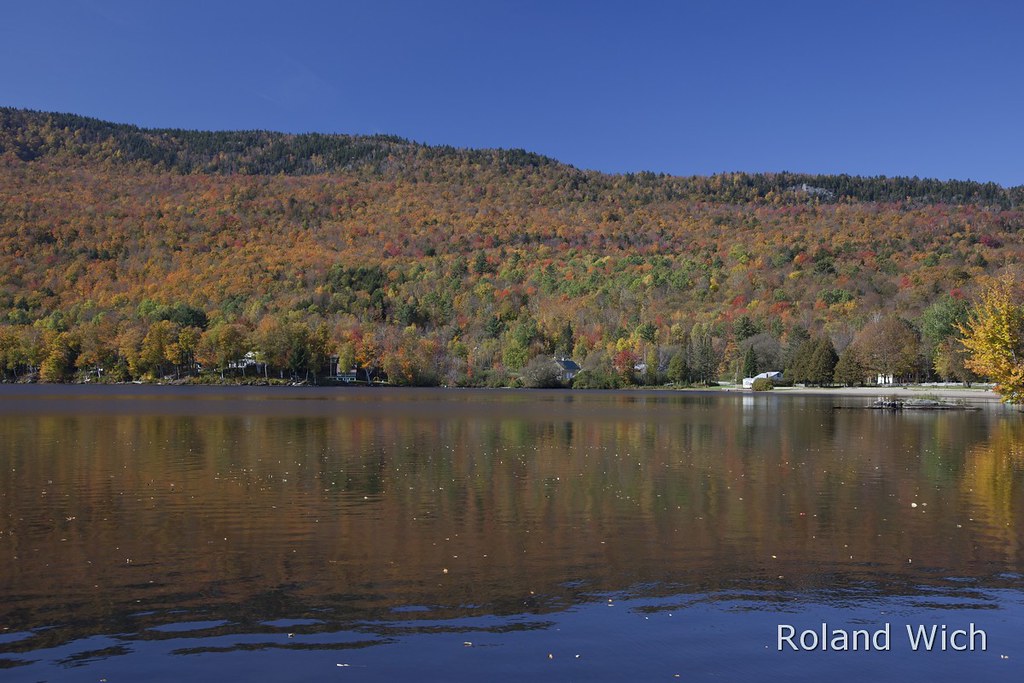
Greensboro Overview

girl in a field of rye

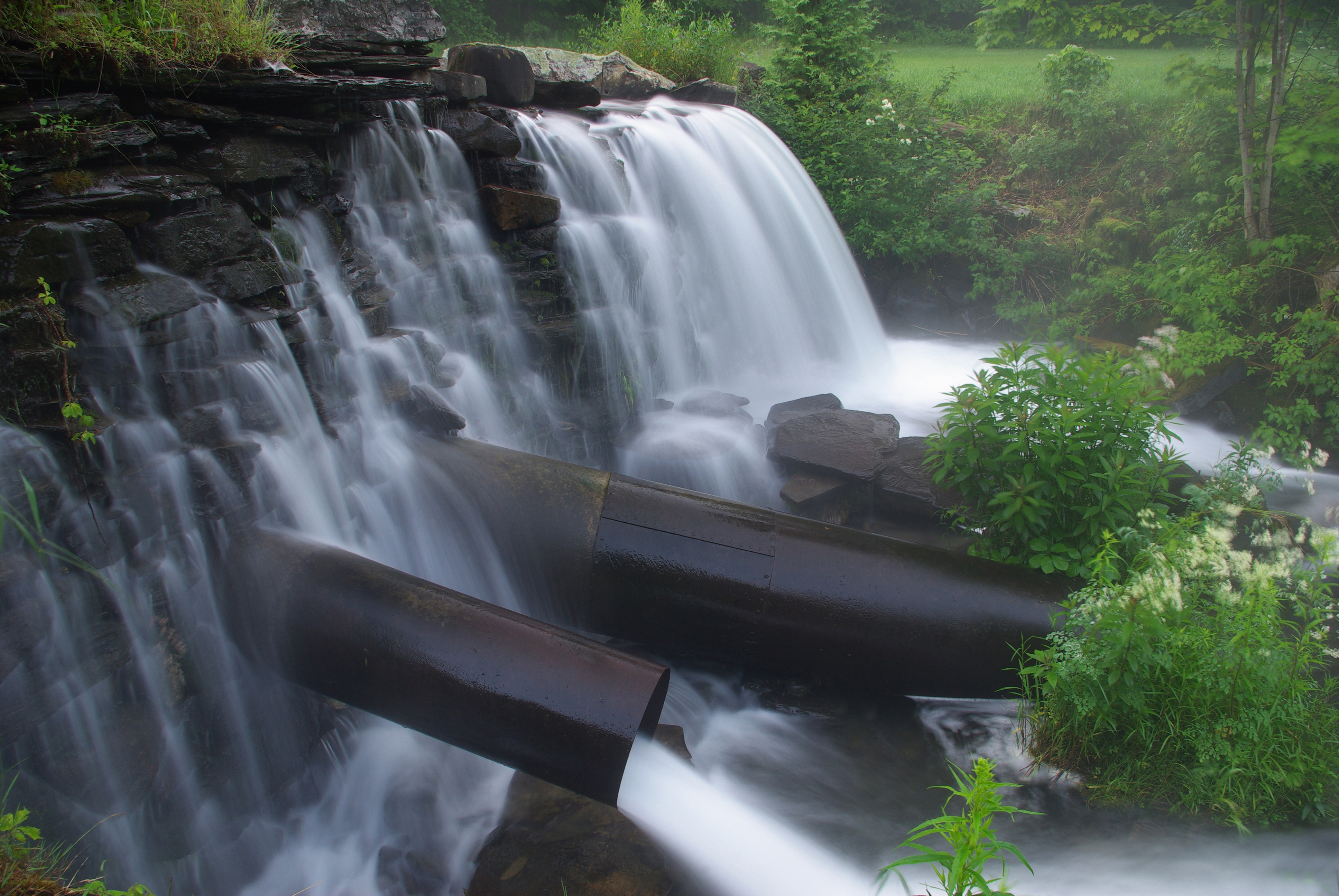
North Branch Falls

foggy morning

Greenwood Lake Foliage

Fisher Railroad Bridge, Vermont (VT-08-16) (DSH_5512-13)
A Look Inside - Fisher Railroad Bridge, Vermont (VT-08-16) (DSH_5525-26)
Vermont Night Life
Lake Elmore

Elmore Sunset 1
Golden leaves by the water
IMGP1854 2009 july
Vermont Barn along State Road 14 near South Woodbury near Sabin Pond - JoeyBLS Photography
untitled (37 of 98)
#vermont

09 Christmas _ Vermont Trip
Topographic Map of N Main St, Hardwick, VT, USA
Find elevation by address:

Places near N Main St, Hardwick, VT, USA:
135 S Main St
Orleans Southwest Supervisory
Buffalo Mountain Co-op
Main Street
182 Holton Hill
182 Holton Hill
Buffalo Mountain Road
7297 Vt-14
Hardwick
Smith Farm Road
East Hardwick
14 Pleasant St
121 Main St
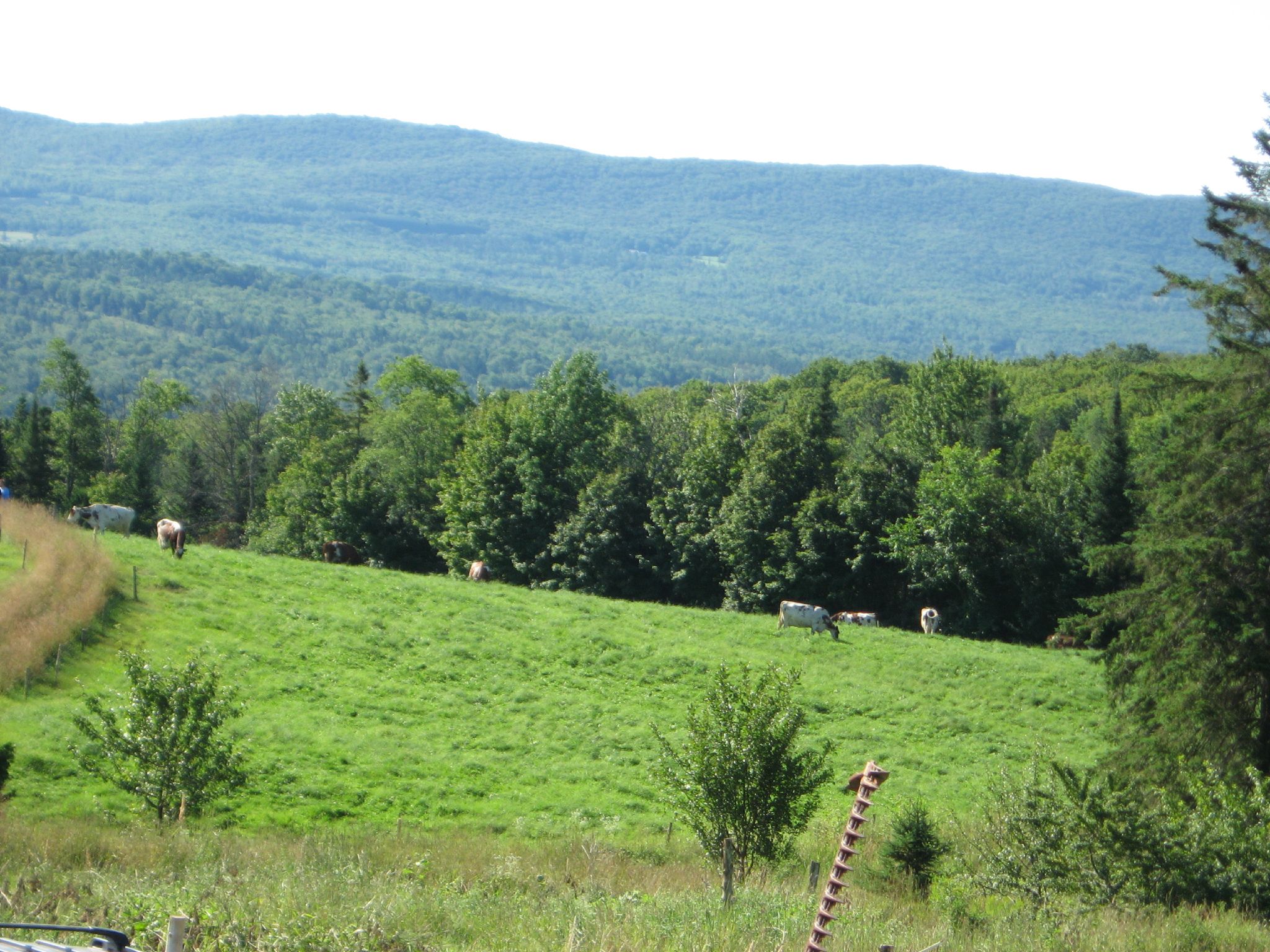
217 Mountain View Rd
217 Mountain View Rd
Bayley Hazen Road
1100 Hines Rd
2051 Overlook Rd
Mountain View Country Club
Lake Elligo
Recent Searches:
- Elevation of Corso Fratelli Cairoli, 35, Macerata MC, Italy
- Elevation of Tallevast Rd, Sarasota, FL, USA
- Elevation of 4th St E, Sonoma, CA, USA
- Elevation of Black Hollow Rd, Pennsdale, PA, USA
- Elevation of Oakland Ave, Williamsport, PA, USA
- Elevation of Pedrógão Grande, Portugal
- Elevation of Klee Dr, Martinsburg, WV, USA
- Elevation of Via Roma, Pieranica CR, Italy
- Elevation of Tavkvetili Mountain, Georgia
- Elevation of Hartfords Bluff Cir, Mt Pleasant, SC, USA