Elevation of N Main St, Clovis, NM, USA
Location: United States > New Mexico > Curry County > Clovis >
Longitude: -103.48960
Latitude: 34.4158562
Elevation: 1341m / 4400feet
Barometric Pressure: 86KPa
Elevation Map:
Satellite Map:
Related Photos:
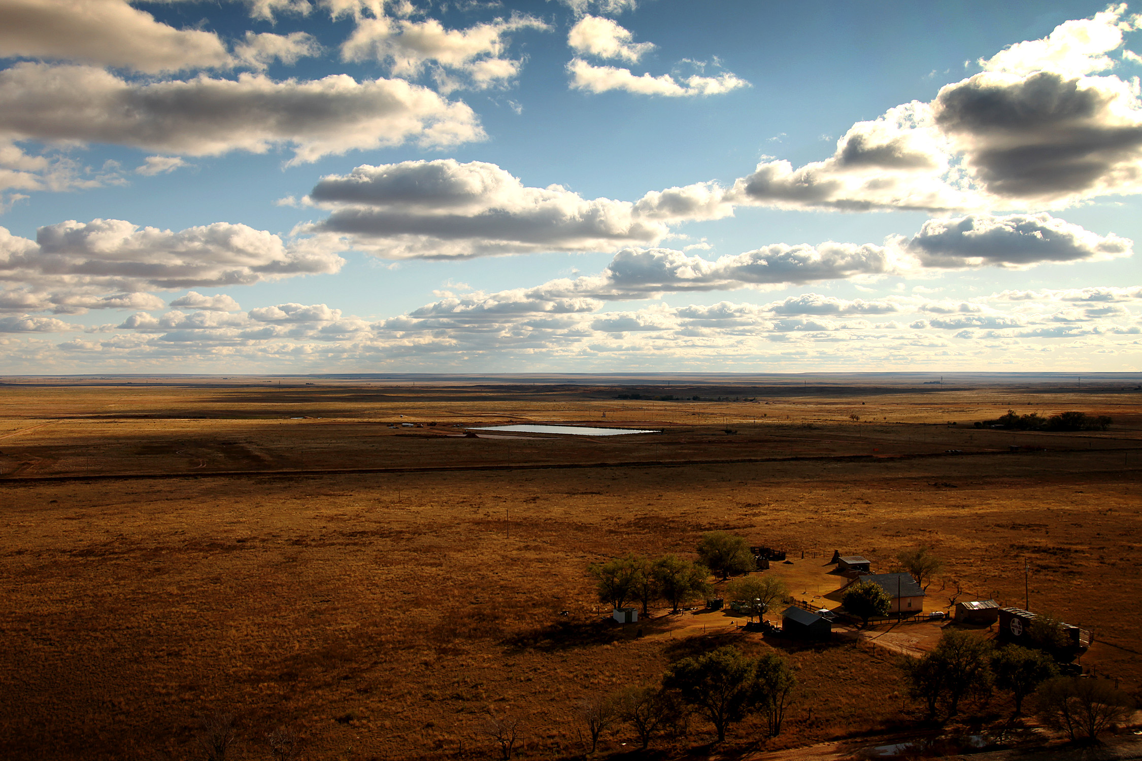
Melrose, NM

A view from our room | Blackberry
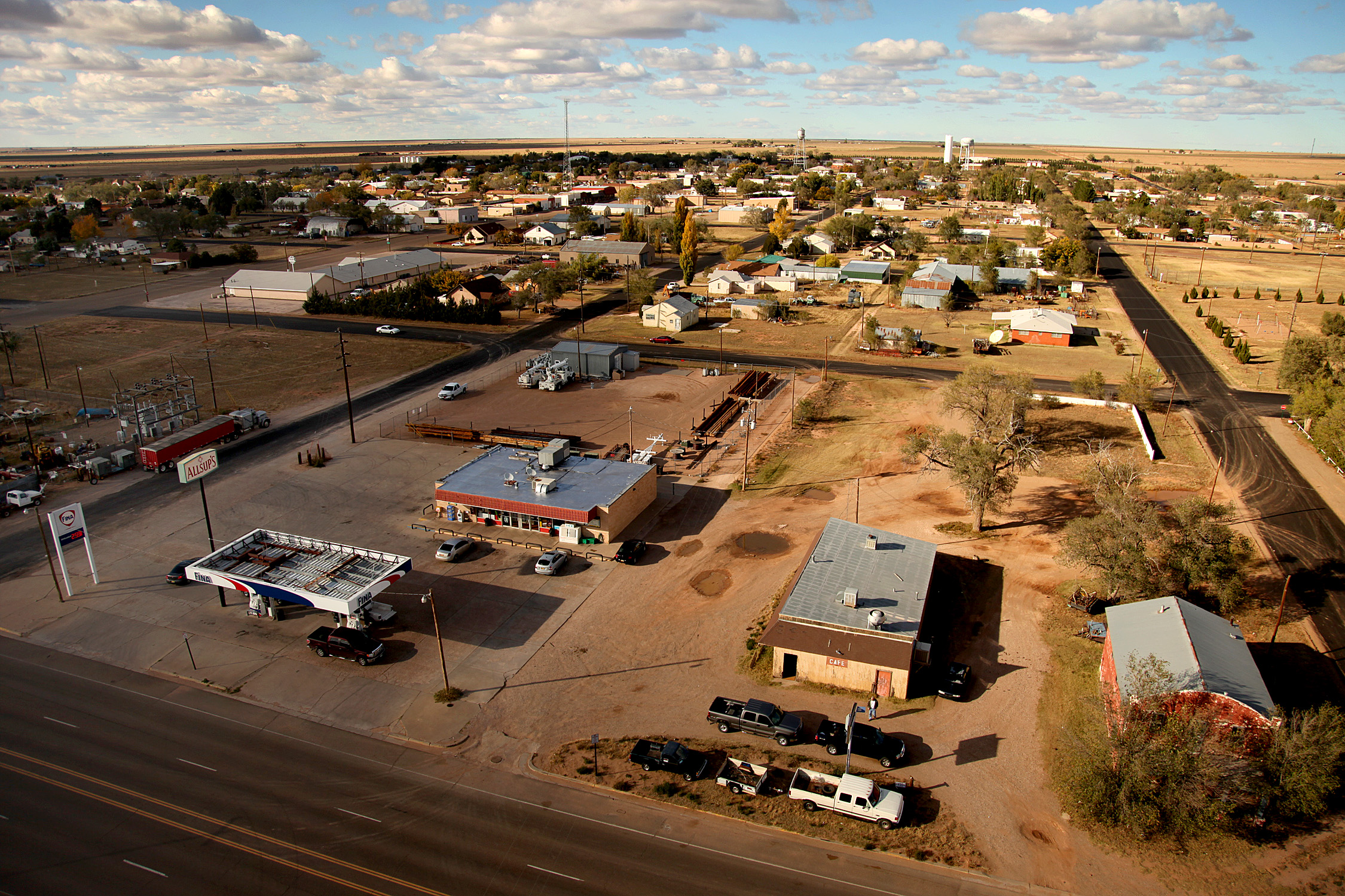
Melrose, NM
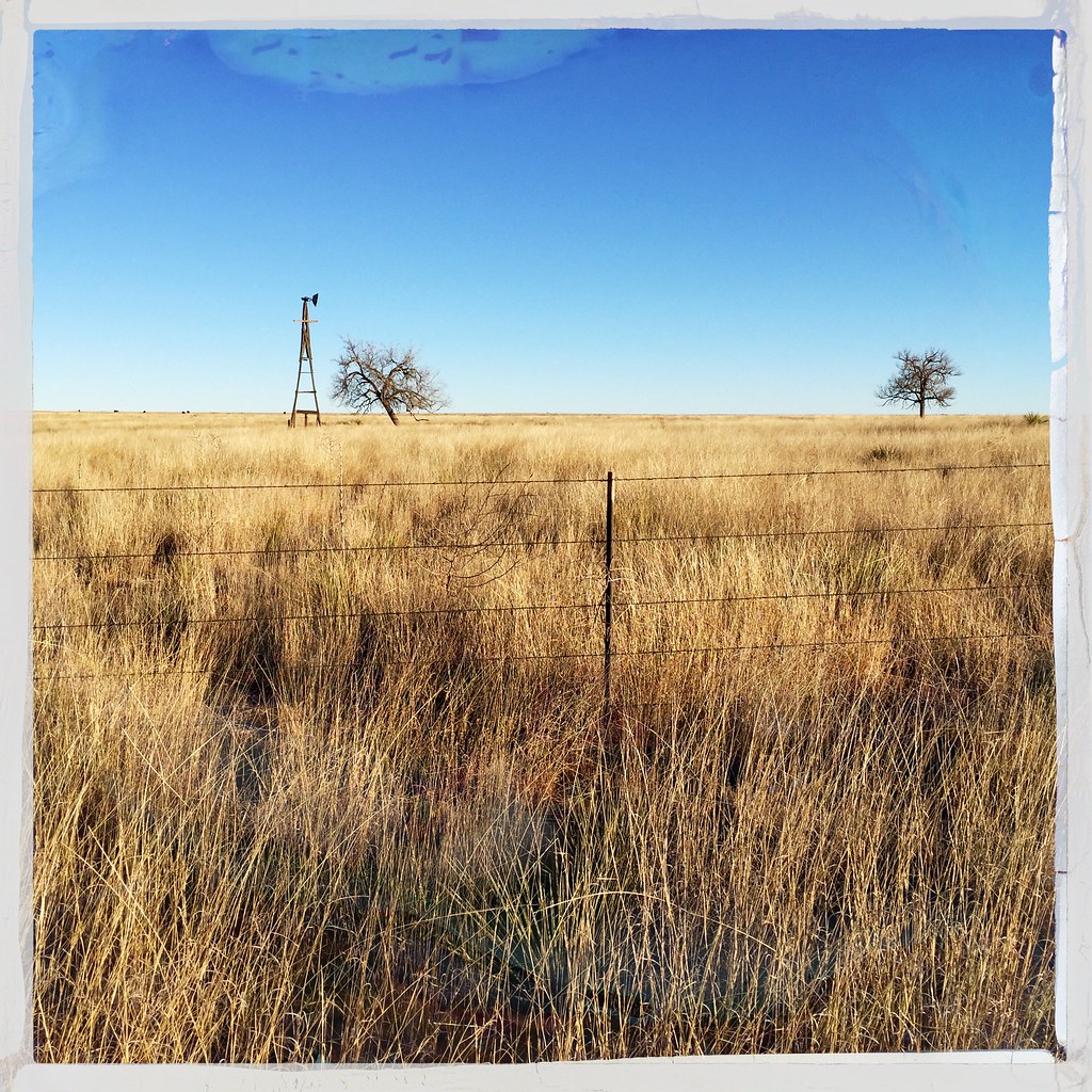
Windmill Prairie New Mexico 2857TJ

Sunset, New Mexico
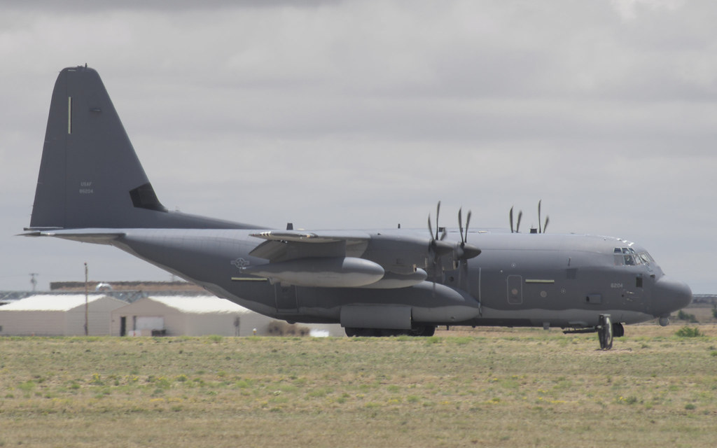
Lockheed MC-130J 08-6204
20150530-IMG_3895.jpg
Lockheed AC-130H 69-6569
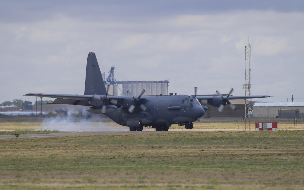
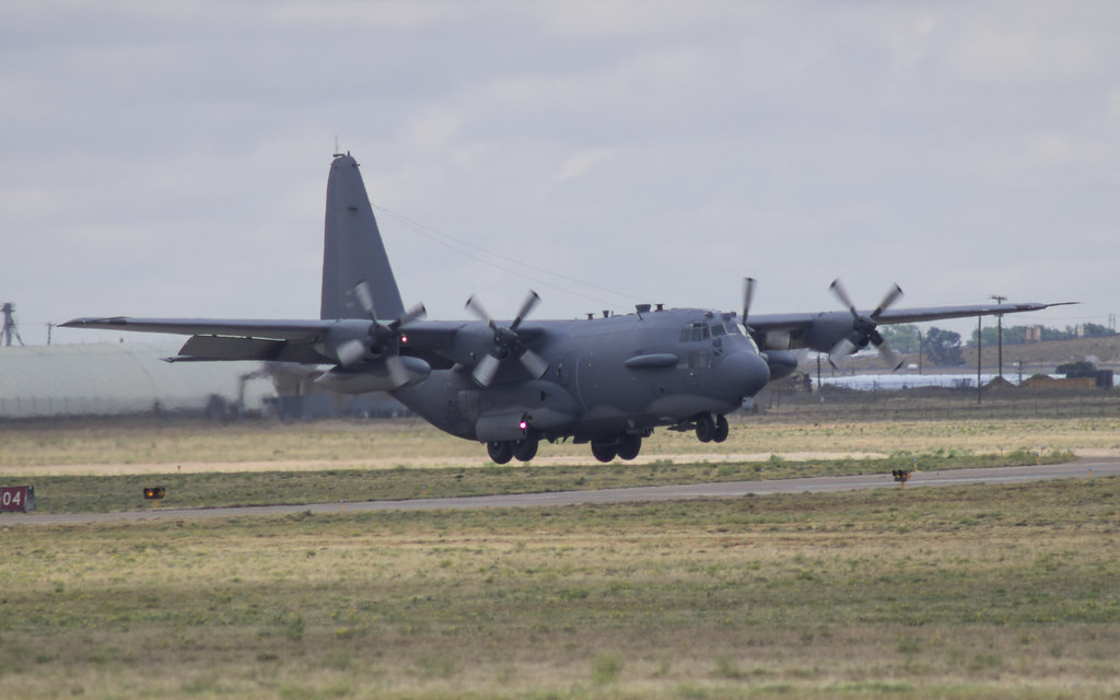
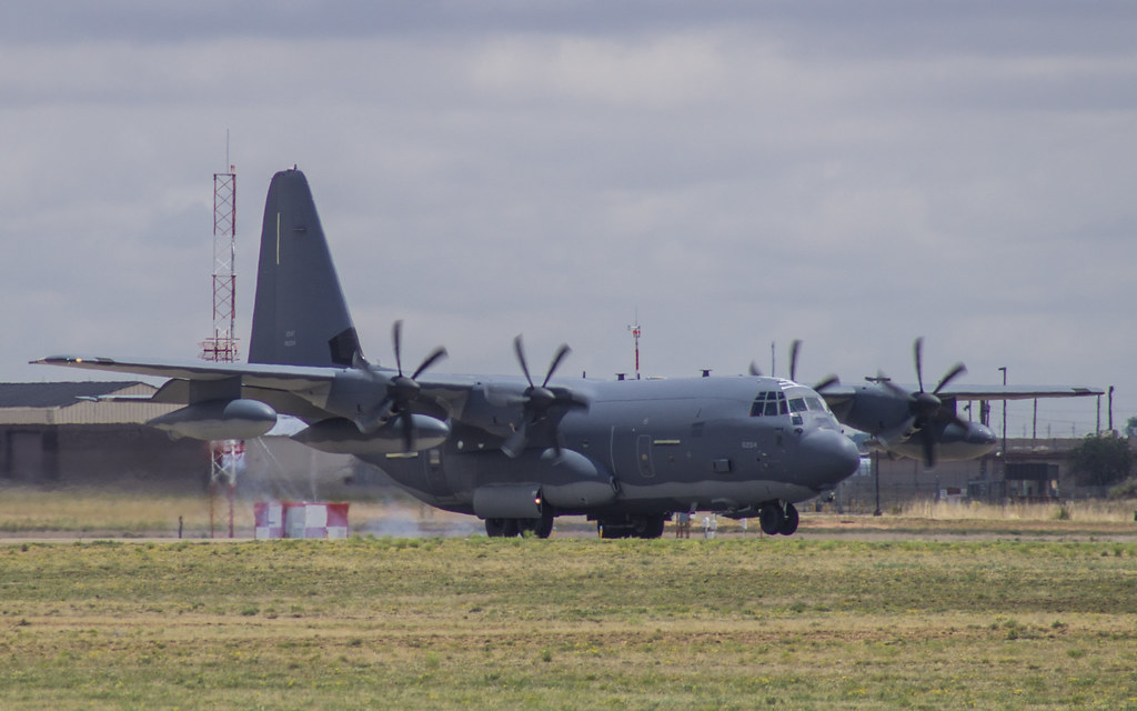
Lockheed MC-130J 08-6204
Lockheed MC-130J 08-6204
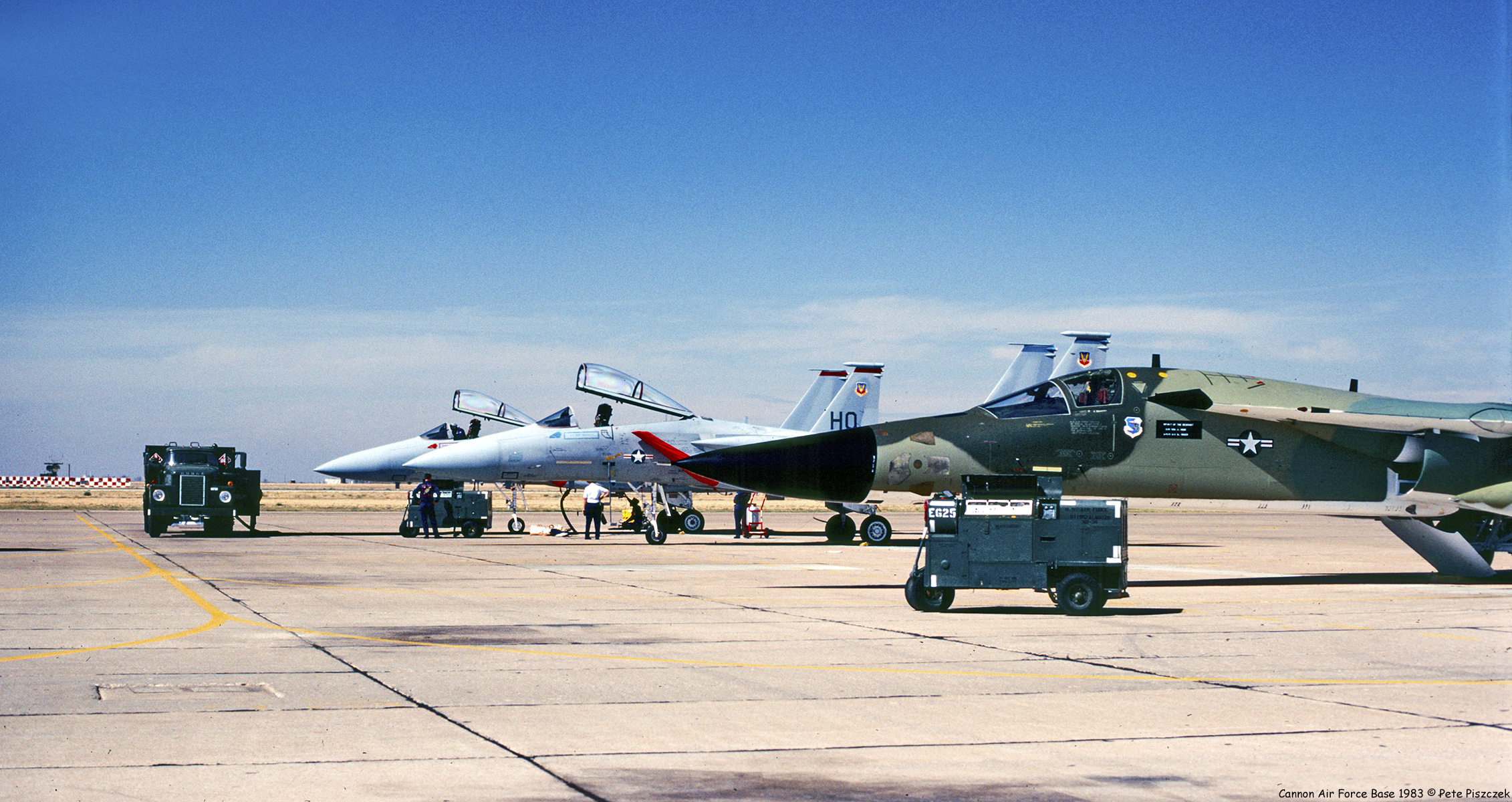
F-111 F-15 Cannon Air Force Base 1983
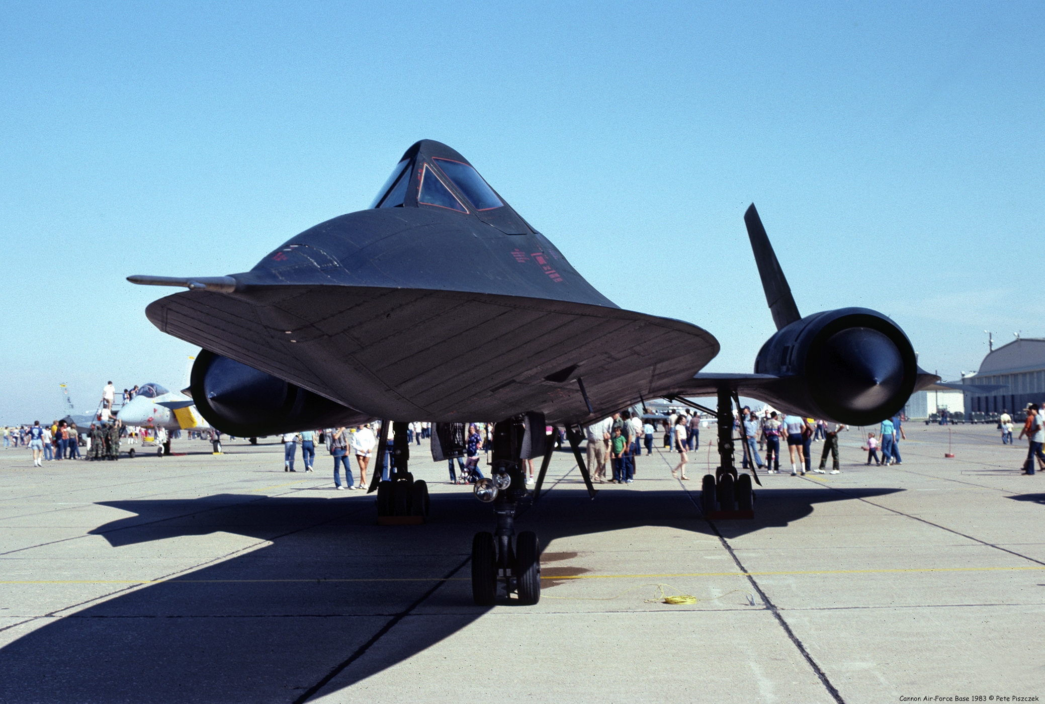
SR-71 Cannon Air Force Base 1983
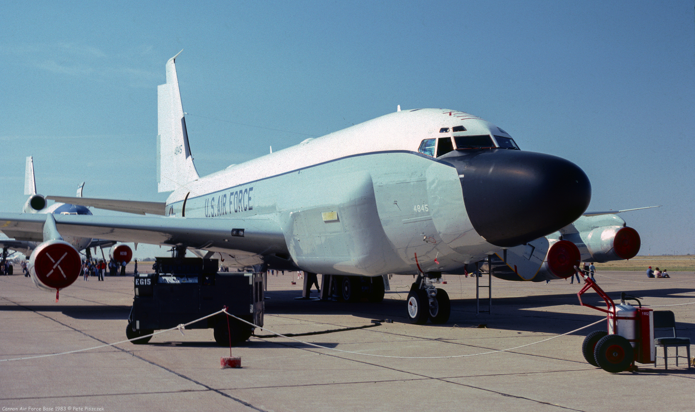
RC-135V Cannon Air Force Base 1983

20150530-IMG_3895.jpg

Train Approaching Melrose Depot

Melrose, NM Depot

Farmer staring at setting sun

An Odd Pair
An Odd Pair

Driving At Night (7 Sep 2014) (2)

Night Streaks

Driving At Night (7 Sep 2014) (3)
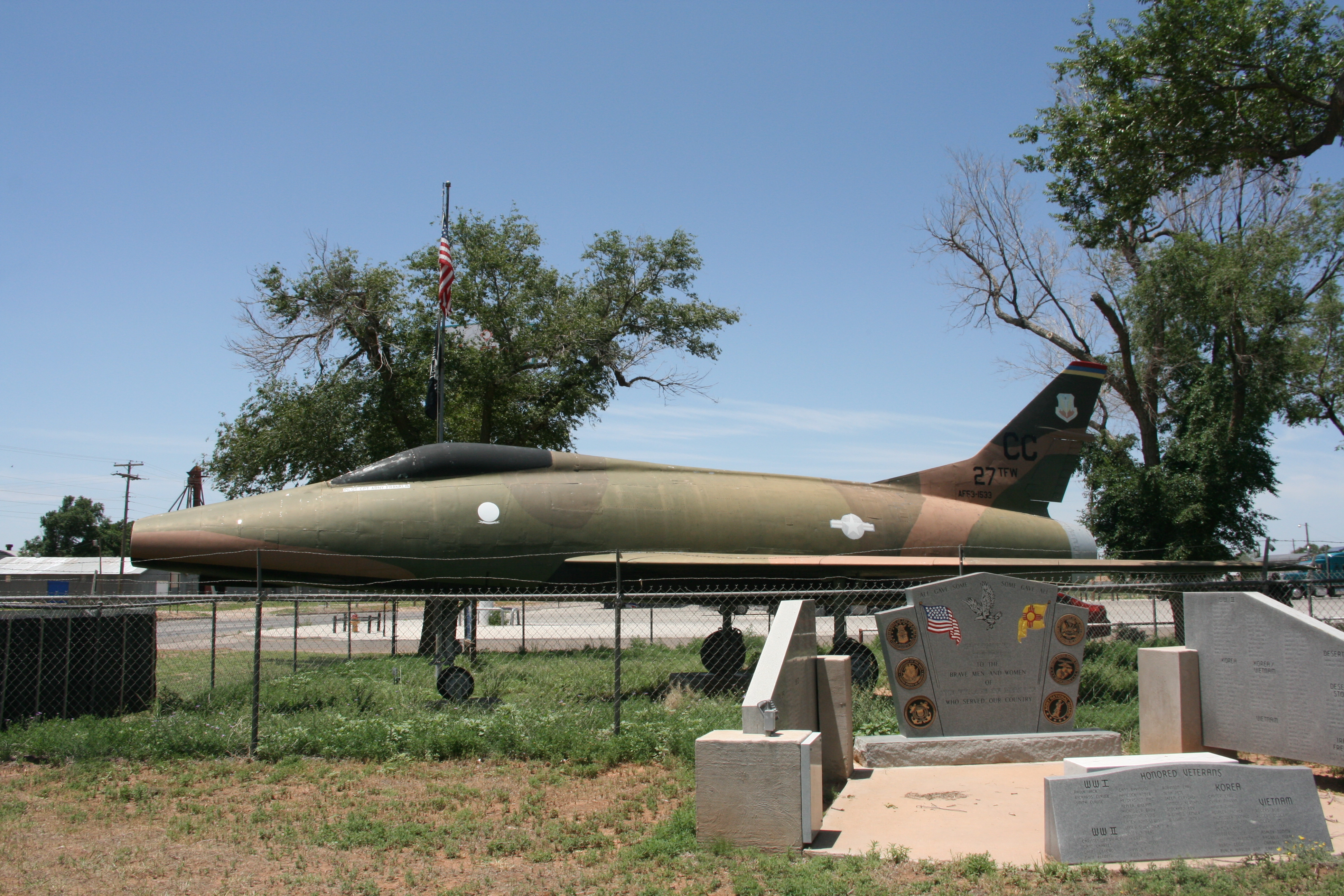
F-100A Super Sabre (53-1533) Melrose, NM (12)
Topographic Map of N Main St, Clovis, NM, USA
Find elevation by address:

Places near N Main St, Clovis, NM, USA:
Expansion St, Clovis, NM, USA
Melrose
30 Rope Rd
962 R R
US-60, Clovis, NM, USA
NM-, Floyd, NM, USA
NM-, Melrose, NM, USA
1700 W 7th St
2102 Santa Clara Ct
Curry County
Portales
Eastern New Mexico University
42121 Us-70
Clovis
1901 S Avenue I
1220 Oakwood Cir
901 Laurelwood Dr
1011 Fairway Terrace
109 Asher Dr
1621 Fairmont Ct
Recent Searches:
- Elevation of Corso Fratelli Cairoli, 35, Macerata MC, Italy
- Elevation of Tallevast Rd, Sarasota, FL, USA
- Elevation of 4th St E, Sonoma, CA, USA
- Elevation of Black Hollow Rd, Pennsdale, PA, USA
- Elevation of Oakland Ave, Williamsport, PA, USA
- Elevation of Pedrógão Grande, Portugal
- Elevation of Klee Dr, Martinsburg, WV, USA
- Elevation of Via Roma, Pieranica CR, Italy
- Elevation of Tavkvetili Mountain, Georgia
- Elevation of Hartfords Bluff Cir, Mt Pleasant, SC, USA