Elevation of N Main St, Bicknell, IN, USA
Location: United States > Indiana > Knox County > Vigo Township > Bicknell >
Longitude: -87.30779
Latitude: 38.774319
Elevation: 157m / 515feet
Barometric Pressure: 99KPa
Elevation Map:
Satellite Map:
Related Photos:
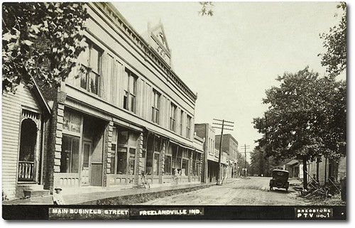
Main Business Street, Freelandville, Indiana
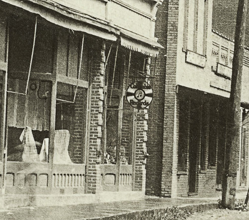
Main business street, Freelandville, Indiana, section 2
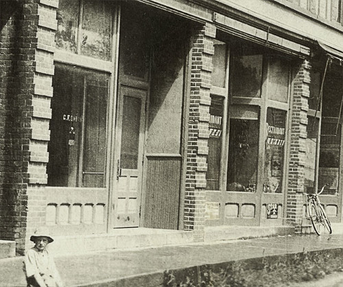
Main business street, Freelandville, Indiana, section 1
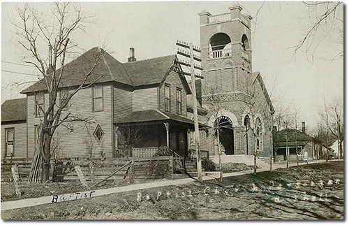
Baptist Church and parsonage, Bicknell, Indiana
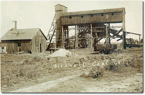
Bicknell Coal Co., Bicknell, Indiana
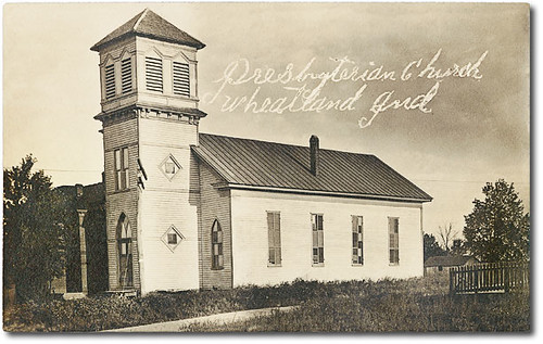
Presbyterian Church, Wheatland, Indiana
ISRR IPL Loads

B&O BlueHole Disaster - 1913 - Pile Drivers Replacing White River Bridge

Baltimore & Ohio Steam Engine - White River Bridge - Washington, Indiana - Circa 1913
2011-12-31 14.51.26
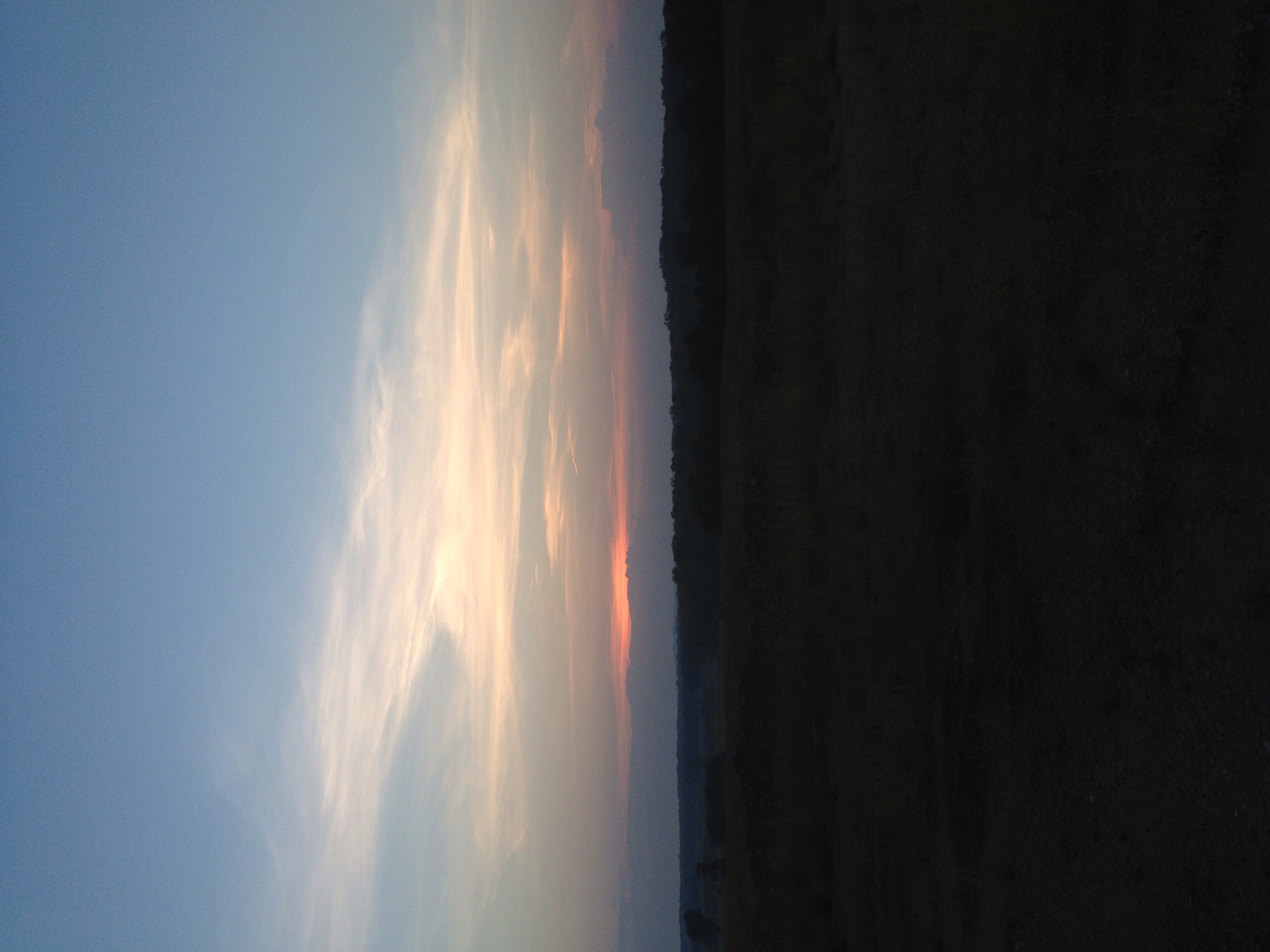
Indiana Surise

Old US 50
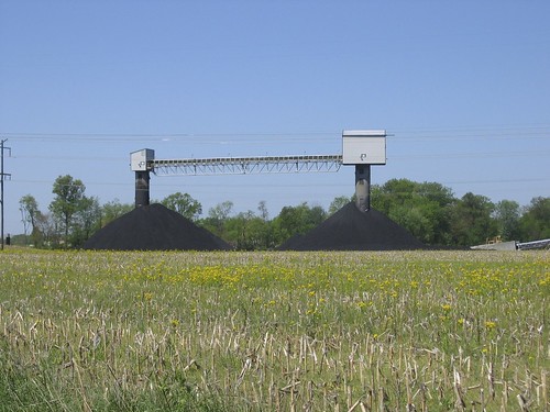
Coal!
DSC_0900 Flowers Along the Road

Cleared Riparian Area
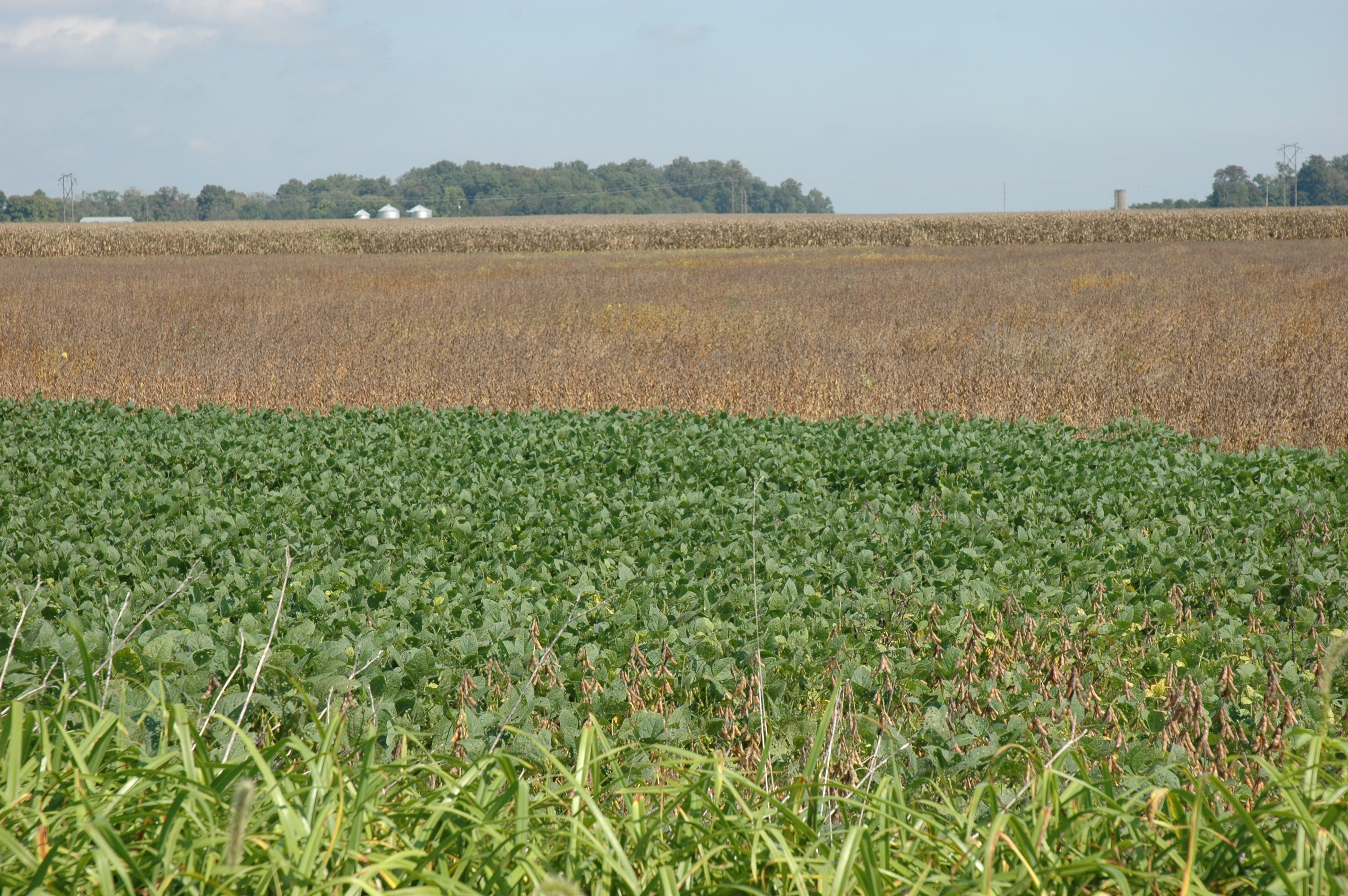
DSC_0898 Bean Field
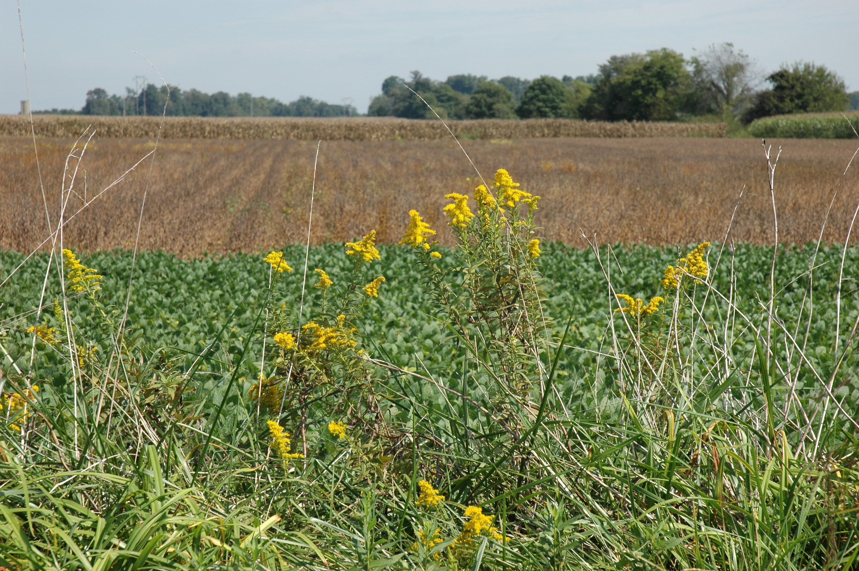
DSC_0899 Flowers Along the Road
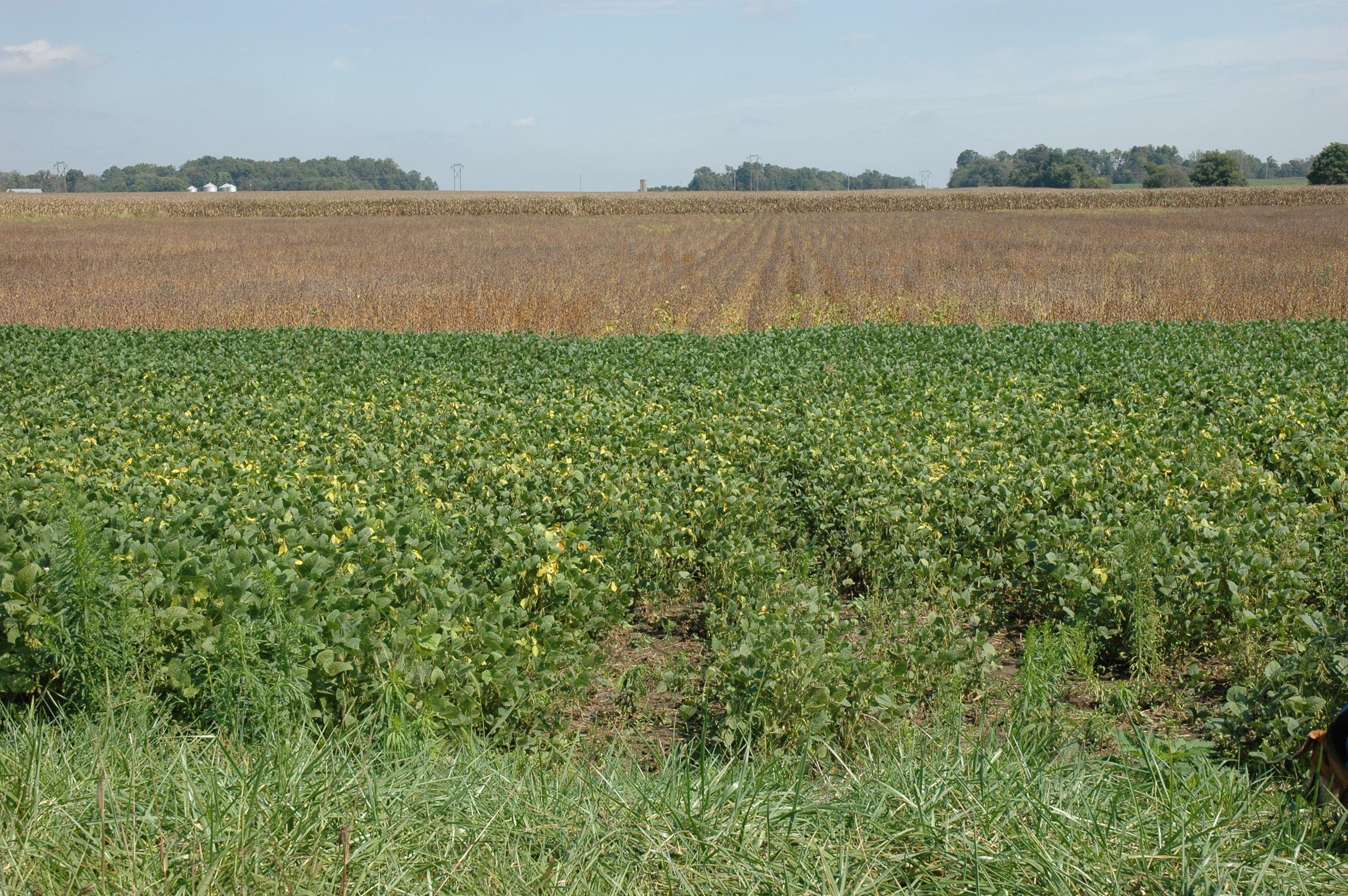
DSC_0902 Bean Field

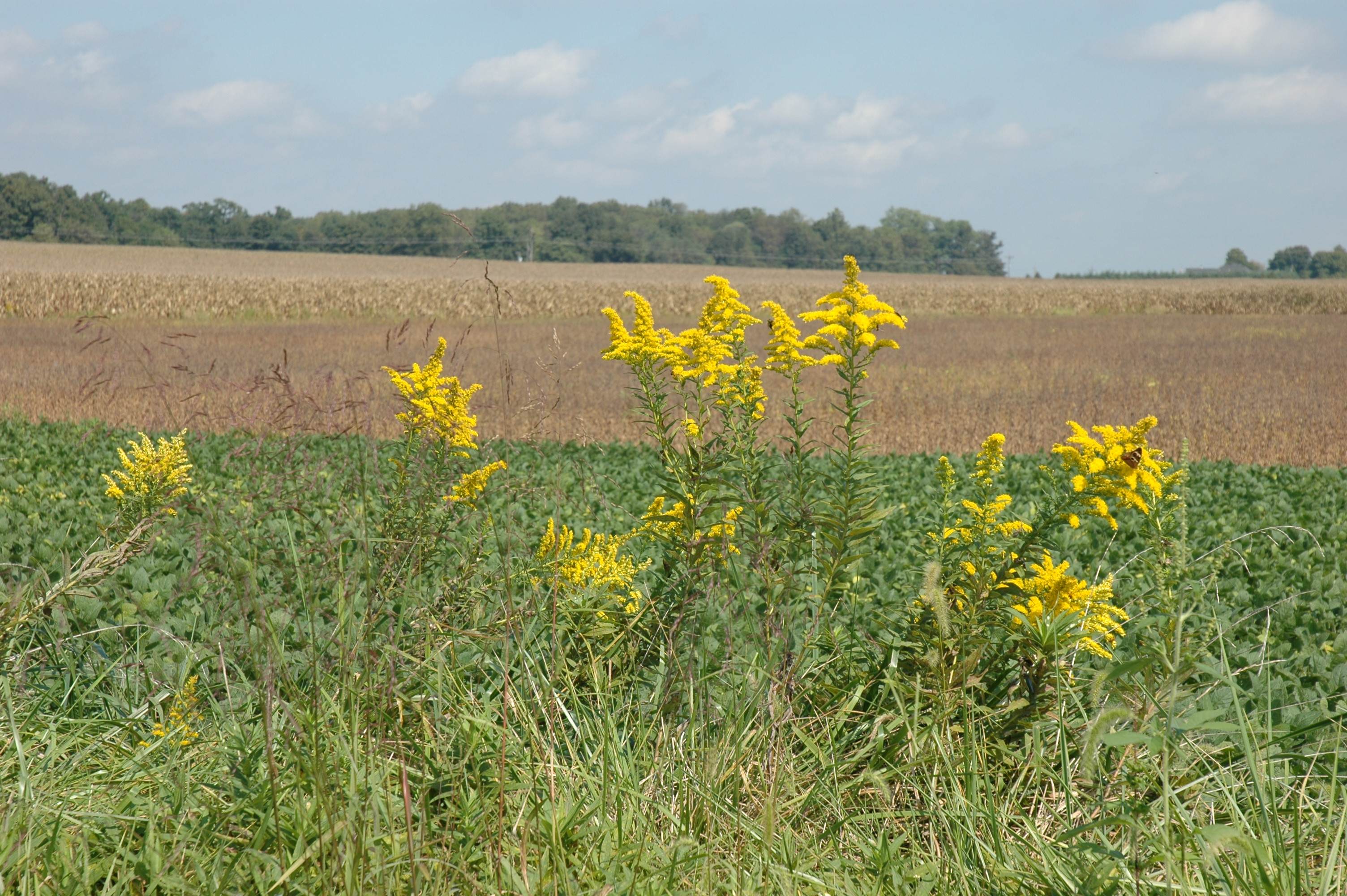
DSC_0906 Field of Flowers

Color Position Light Signal and Overhead Bridge, Fritchton, Indiana, February 4th, 2009
Topographic Map of N Main St, Bicknell, IN, USA
Find elevation by address:

Places near N Main St, Bicknell, IN, USA:
Bicknell
703 N Main St
822 Mason St
614 W 3rd St
1015 Cleveland St
East Miller Road
E Ragsdale Rd, Bicknell, IN, USA
Steen Township
Washington Township
Steele Township
Bruceville
Main St, Bruceville, IN, USA
N River Rd, Washington, IN, USA
W N, Washington, IN, USA
W N, Washington, IN, USA
N Old 41, Vincennes, IN, USA
Southwest Purdue Ag Center
1302 Old Wheatland Rd
1302 Old Wheatland Rd
Vincennes
Recent Searches:
- Elevation of Felindre, Swansea SA5 7LU, UK
- Elevation of Leyte Industrial Development Estate, Isabel, Leyte, Philippines
- Elevation of W Granada St, Tampa, FL, USA
- Elevation of Pykes Down, Ivybridge PL21 0BY, UK
- Elevation of Jalan Senandin, Lutong, Miri, Sarawak, Malaysia
- Elevation of Bilohirs'k
- Elevation of 30 Oak Lawn Dr, Barkhamsted, CT, USA
- Elevation of Luther Road, Luther Rd, Auburn, CA, USA
- Elevation of Unnamed Road, Respublika Severnaya Osetiya — Alaniya, Russia
- Elevation of Verkhny Fiagdon, North Ossetia–Alania Republic, Russia