Elevation of N Loop Pkwy, St Augustine, FL, USA
Location: United States > Florida > St. Johns County > St. Augustine >
Longitude: -81.383348
Latitude: 30.0339532
Elevation: 7m / 23feet
Barometric Pressure: 101KPa
Elevation Map:
Satellite Map:
Related Photos:

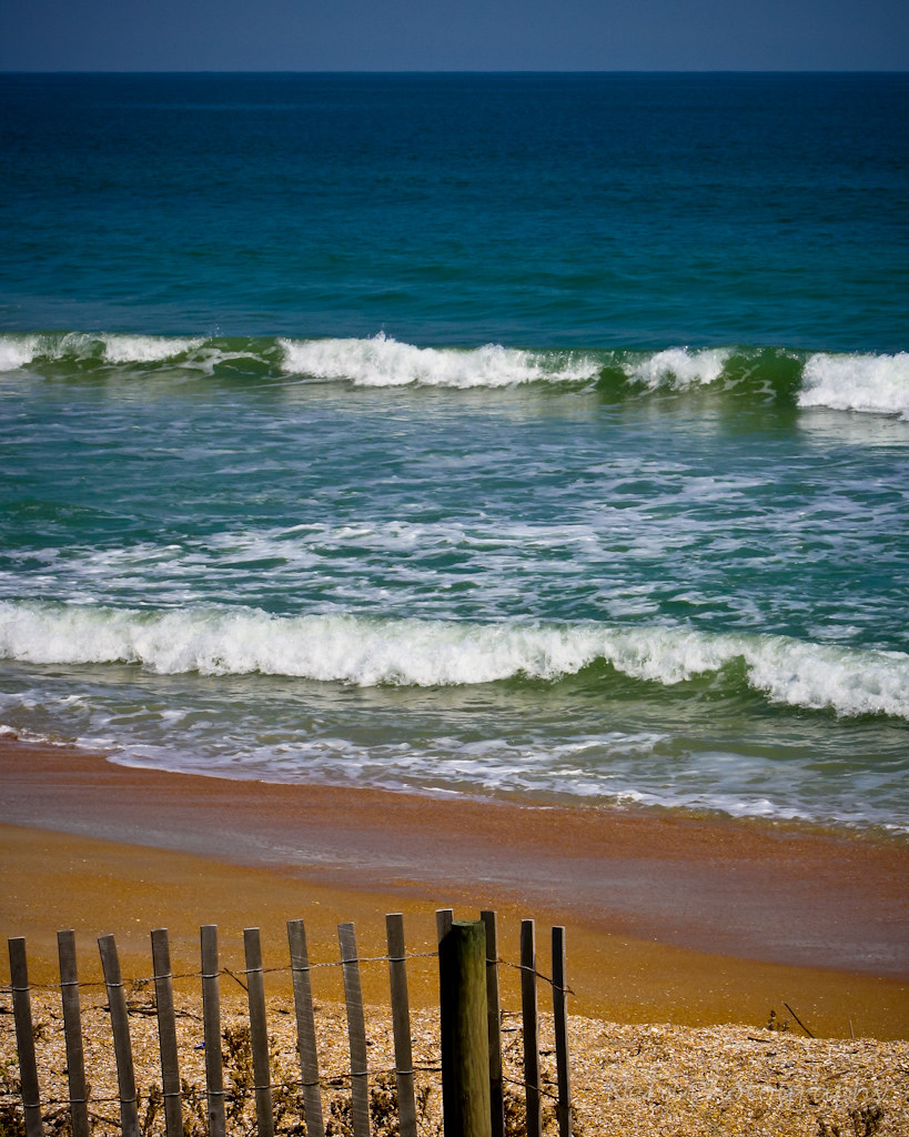
Vilano beach.
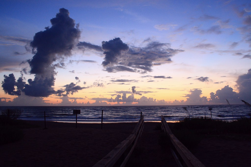
Beach Sunrise
IMG_8882.jpg

outta_my_way____by_alphamegapixel-d4a84fm
Dawn Light
Sunrise over the San Sebastian.

Left Bank
savannah2-0185_1500
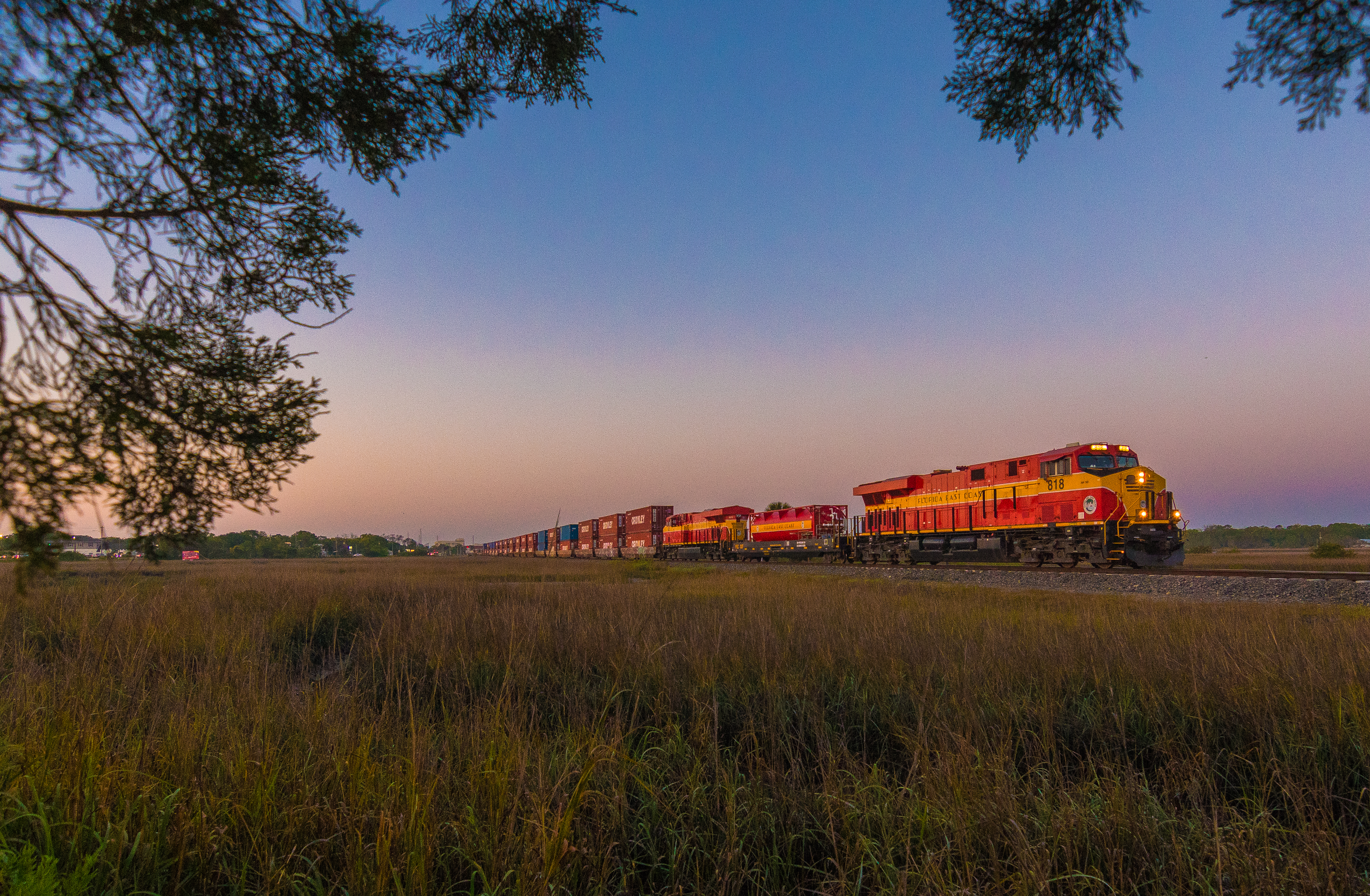
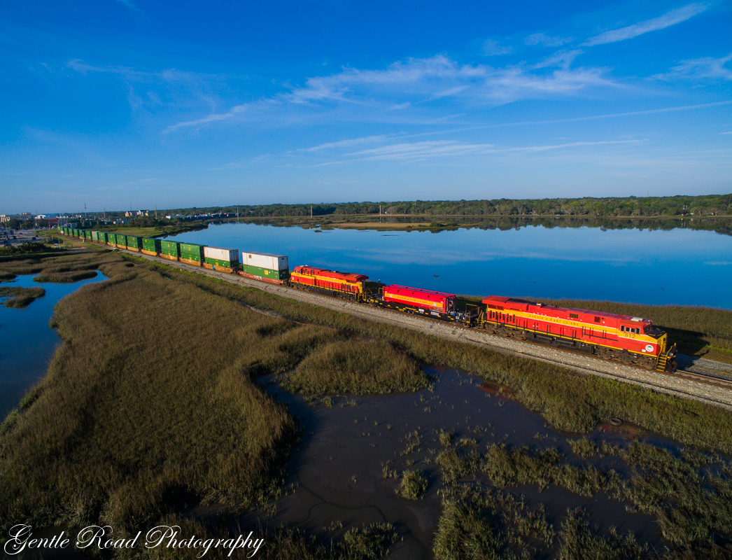
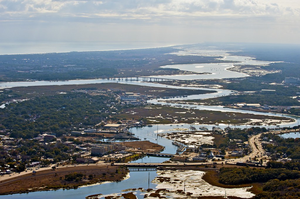
Saint Augustine Redo FEC 218, FEC 818.

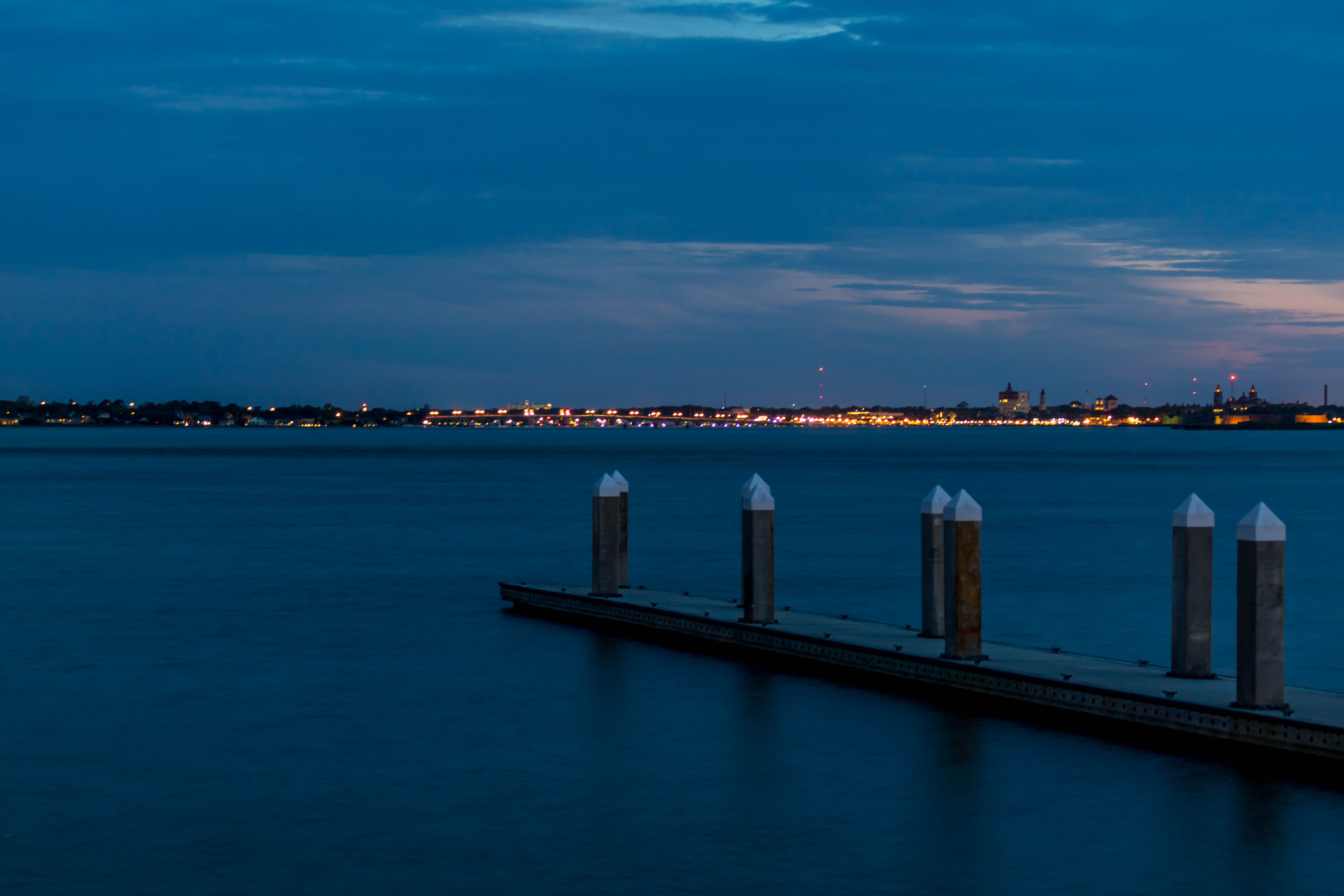
High tide

In the exact moment ⚡ ☁
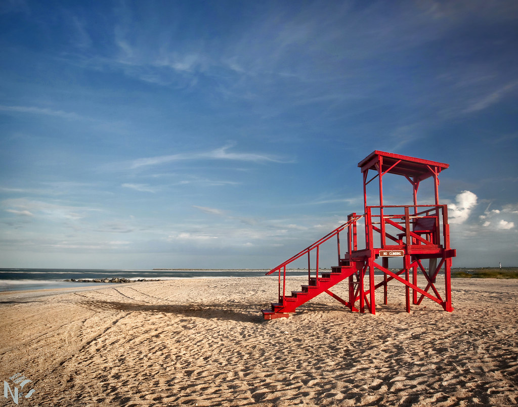
Vilano Beach
Sand, Surf, And Late Evening Sun

Gold Path ~ Quarta Sunset 128

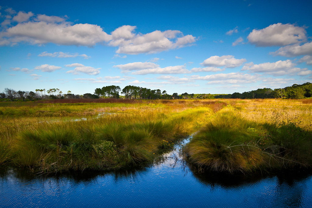
Guana-Tolomato-Matanzas Nat'l Reserve, Acts 11:16

Mission Nombre de Dios
IMG_2046.jpg

Dead Oak sunset-6

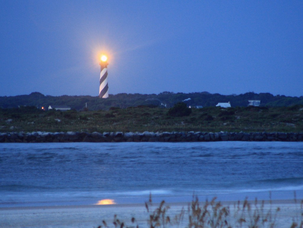
Blue Beginning

Mickler's Landing, Psalm 139:9-10
[365/365] The Long and Winding Road
Topographic Map of N Loop Pkwy, St Augustine, FL, USA
Find elevation by address:

Places near N Loop Pkwy, St Augustine, FL, USA:
125 Calle Norte
1491 N Loop Pkwy
1481 N Loop Pkwy
1475 N Loop Pkwy
709 San Mateo Ct
Palencia Club Drive
Palencia
605 Palencia Club Dr
177 Spanish Marsh Dr
642 Santa Teresa Ct
160 Spanish Marsh Dr
125 San Telmo Ct
140 Marshall Creek Dr
128 Marshall Creek Dr
120 Marshall Creek Dr
2518 Las Calinas Blvd
79 Codo Ct
Codo Court
Rio Del Norte Road
142 Hickory Hill Dr
Recent Searches:
- Elevation of Rojo Ct, Atascadero, CA, USA
- Elevation of Flagstaff Drive, Flagstaff Dr, North Carolina, USA
- Elevation of Avery Ln, Lakeland, FL, USA
- Elevation of Woolwine, VA, USA
- Elevation of Lumagwas Diversified Farmers Multi-Purpose Cooperative, Lumagwas, Adtuyon, RV32+MH7, Pangantucan, Bukidnon, Philippines
- Elevation of Homestead Ridge, New Braunfels, TX, USA
- Elevation of Orchard Road, Orchard Rd, Marlborough, NY, USA
- Elevation of 12 Hutchinson Woods Dr, Fletcher, NC, USA
- Elevation of Holloway Ave, San Francisco, CA, USA
- Elevation of Norfolk, NY, USA