Elevation of N Kings Hwy, Dalzell, SC, USA
Location: United States > South Carolina > Sumter County > Dalzell >
Longitude: -80.540866
Latitude: 34.0035748
Elevation: 54m / 177feet
Barometric Pressure: 101KPa
Elevation Map:
Satellite Map:
Related Photos:

John and Sean
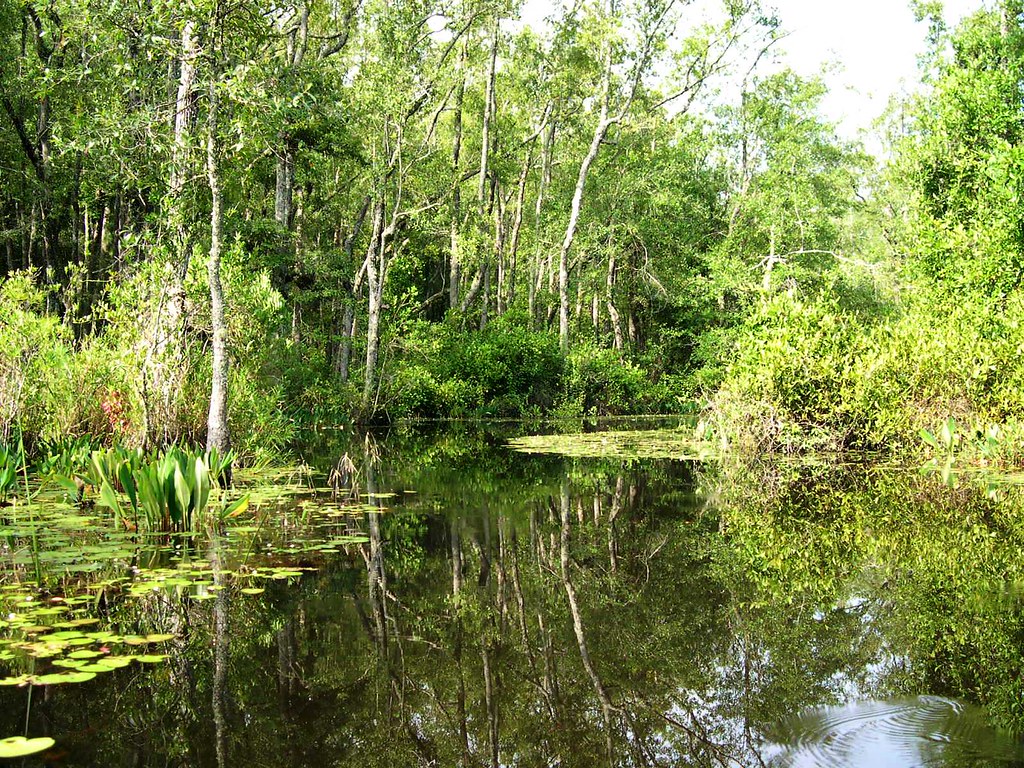
wetland plants
excellent stuff
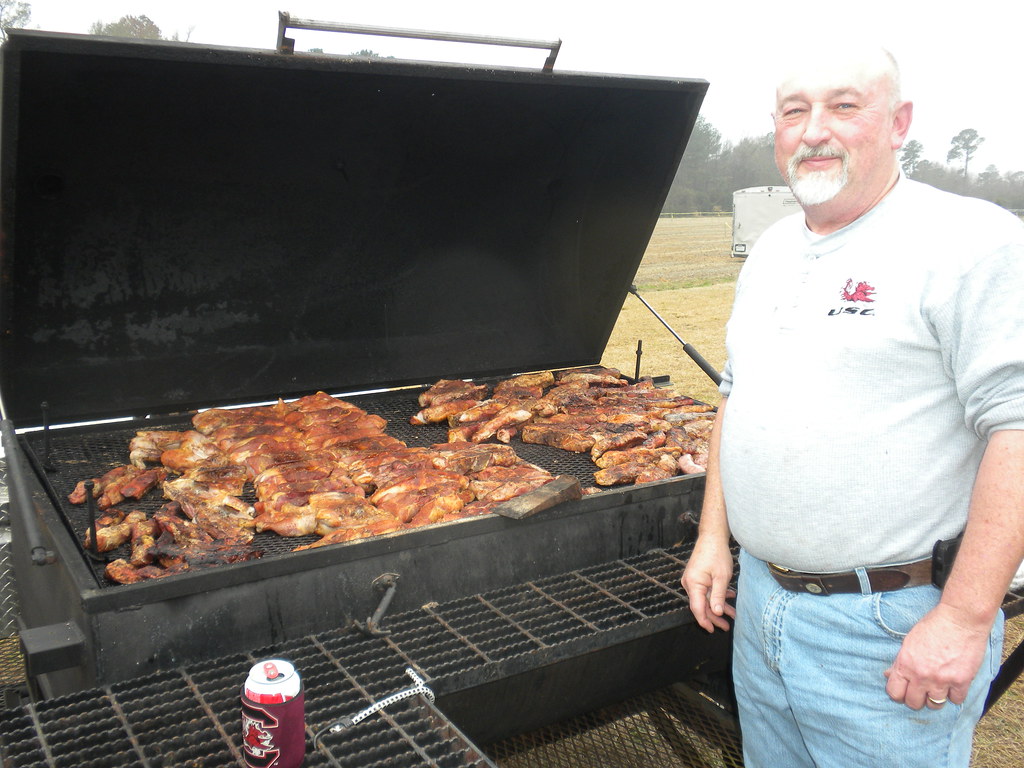
lots of food
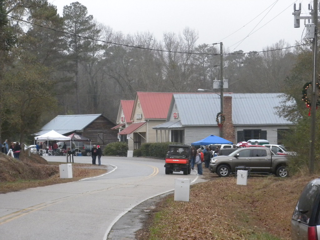
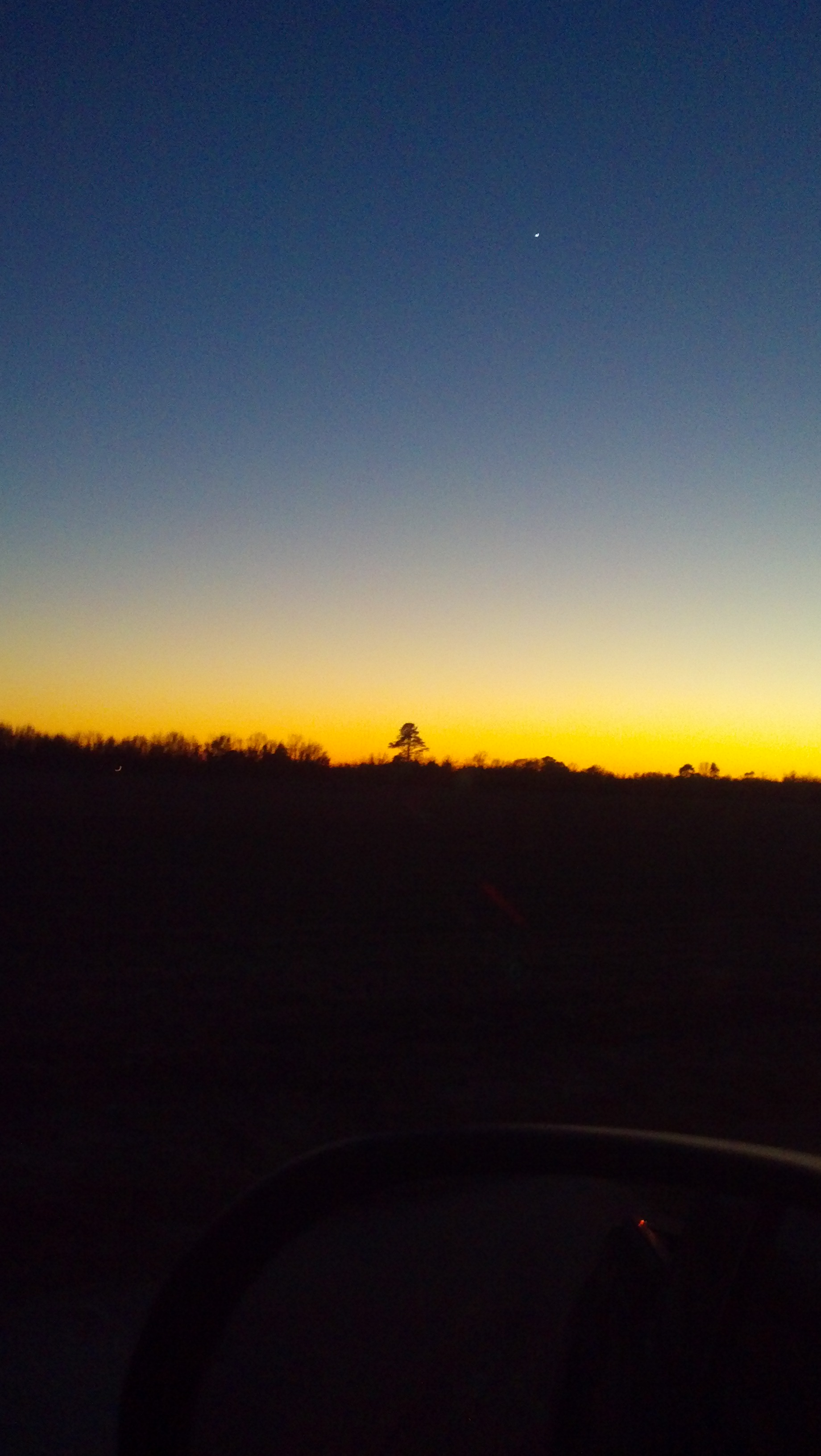
view of Boykin, damp & cloudy
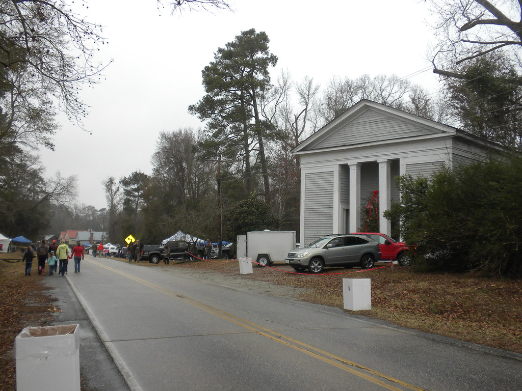
view of Boykin from the east
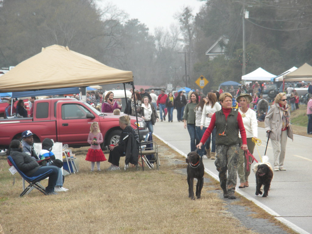
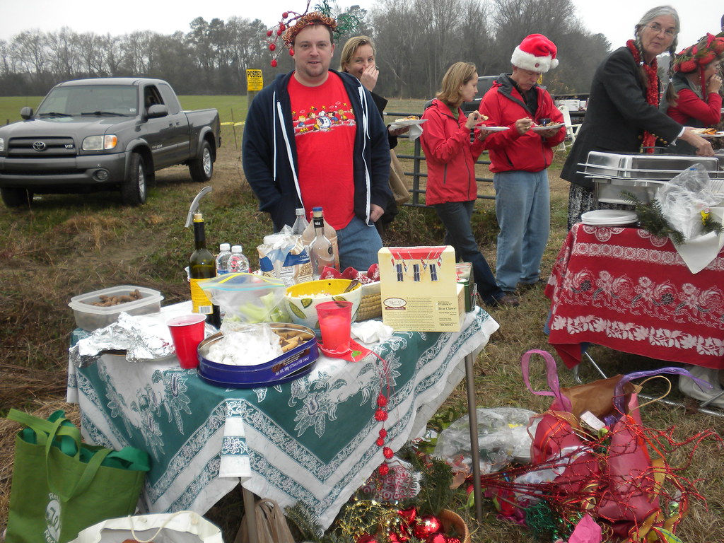
pre-parade
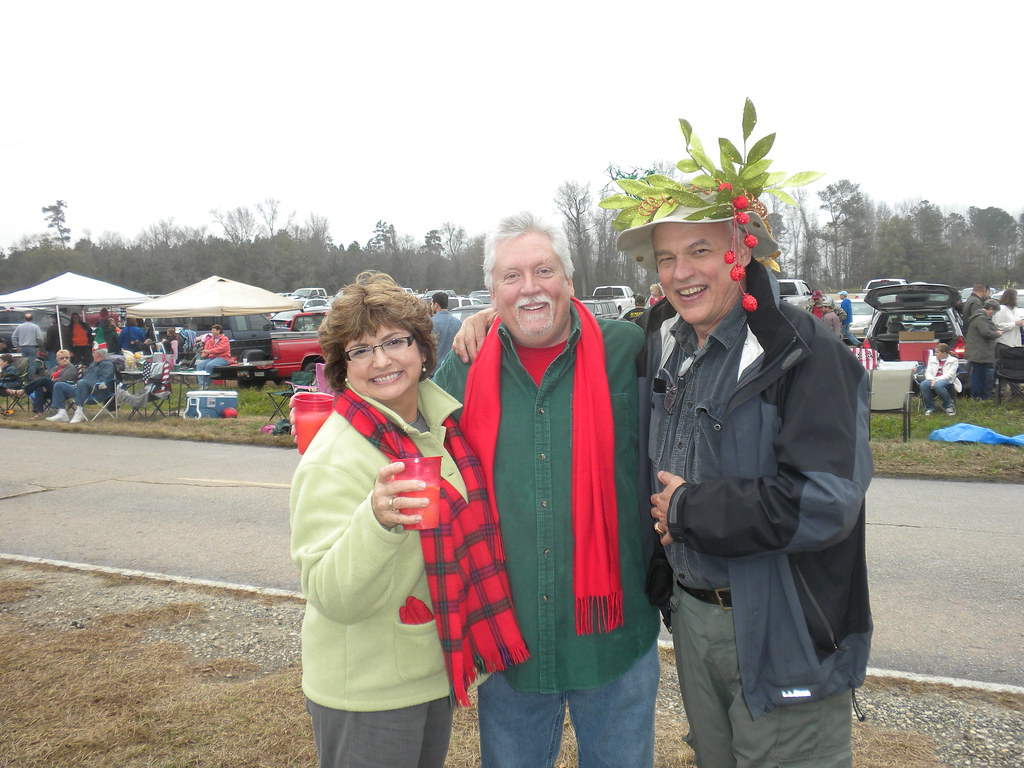
Martha, Steve, and John
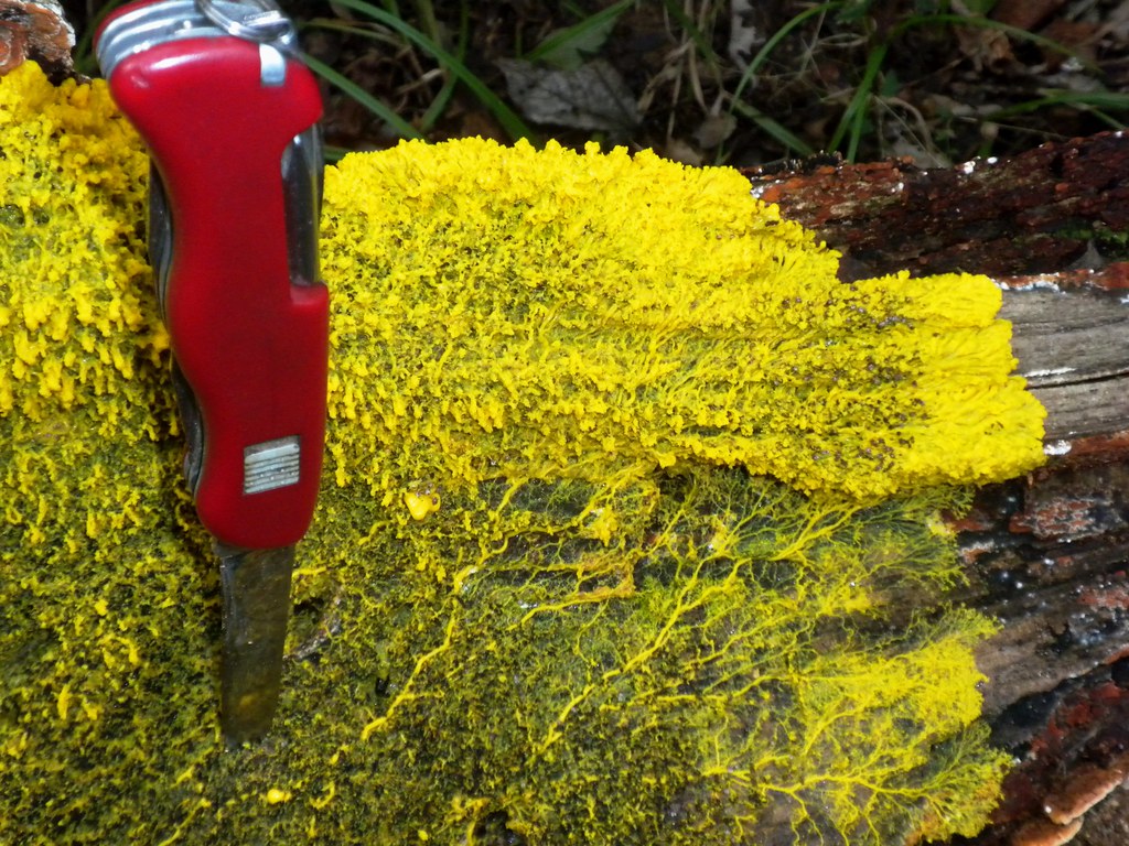
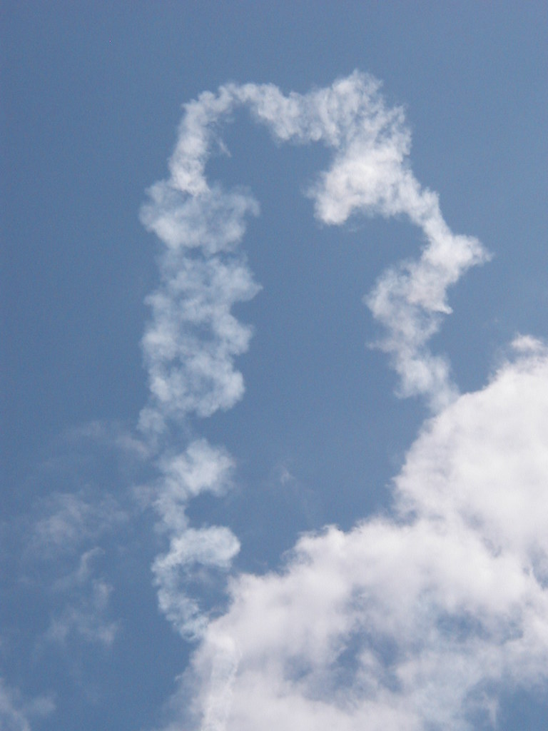
yellow slime mold
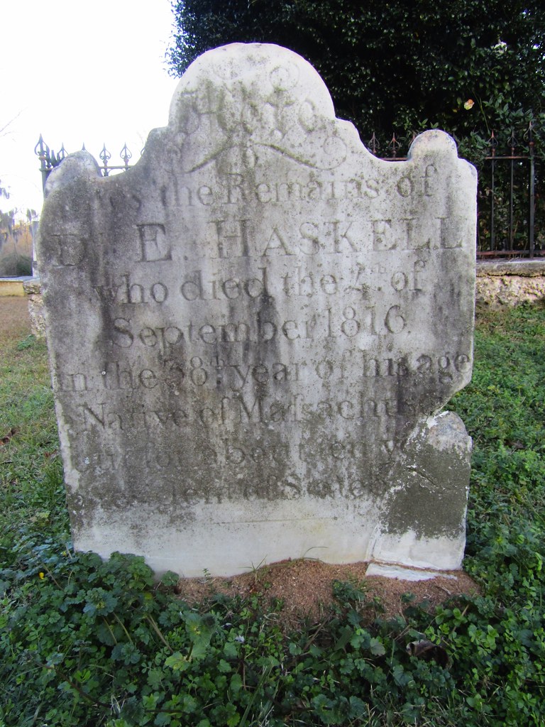
D. E. Haskell

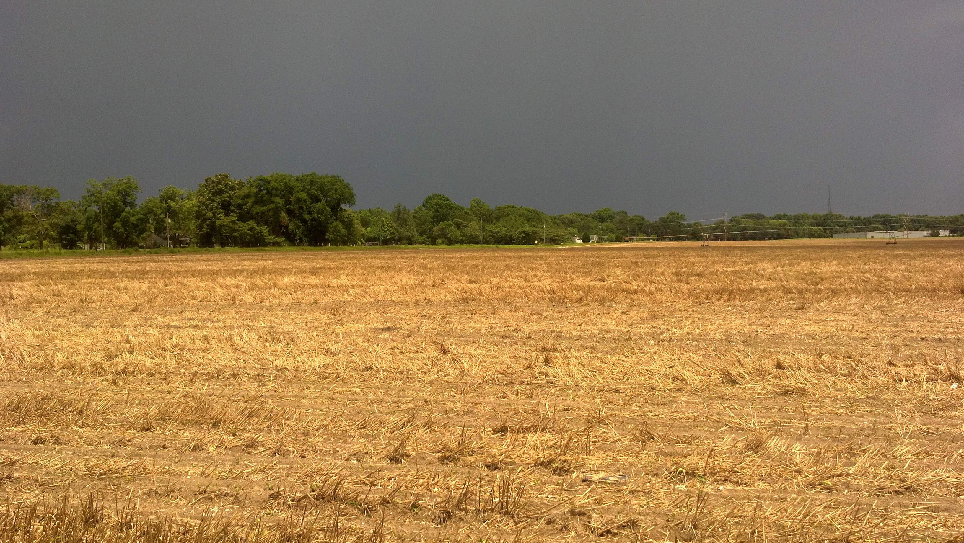
Hay bails in a field on a rural country road.
Nature (sky, animals, fields, flowers, trees, ect)

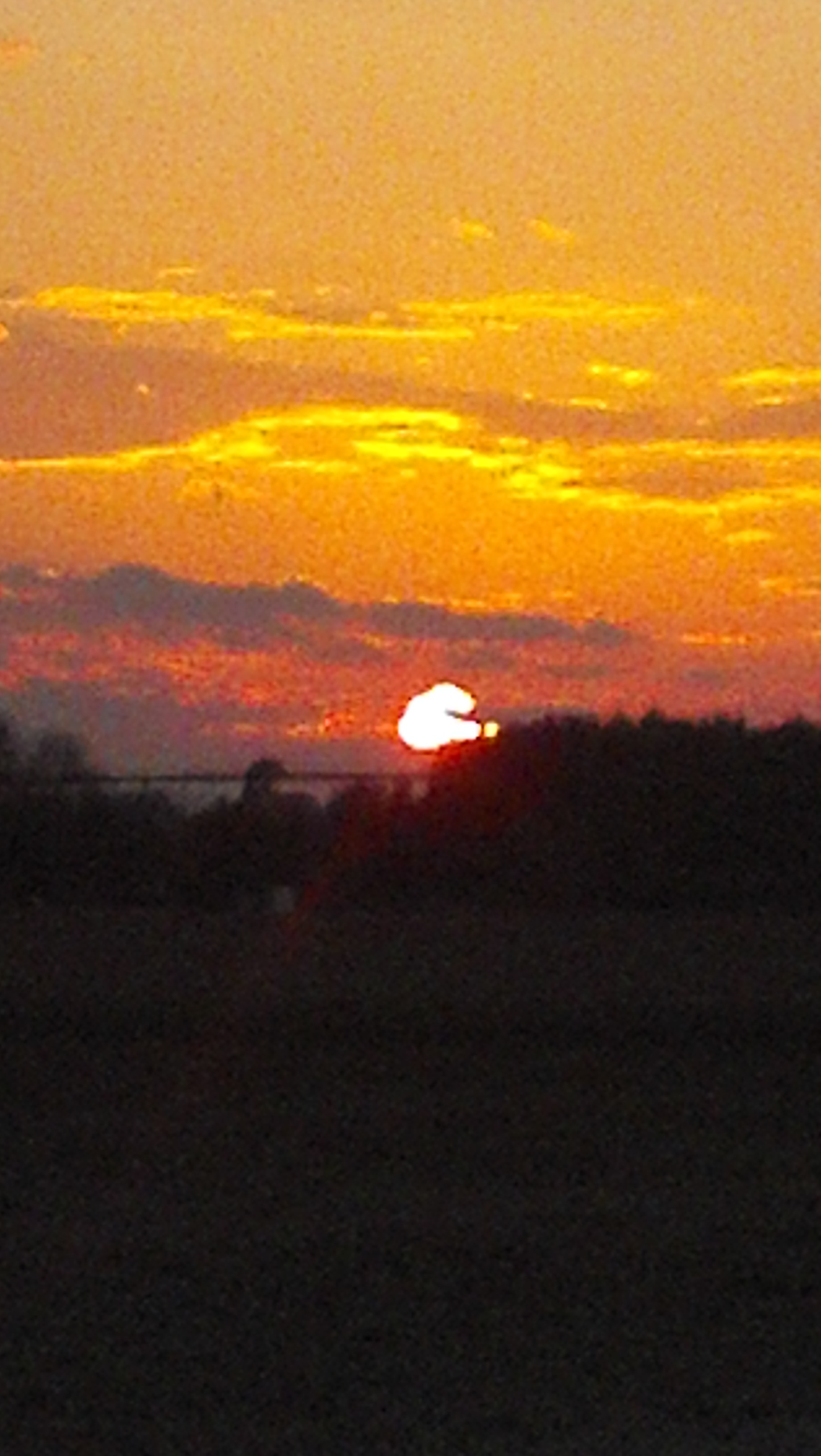
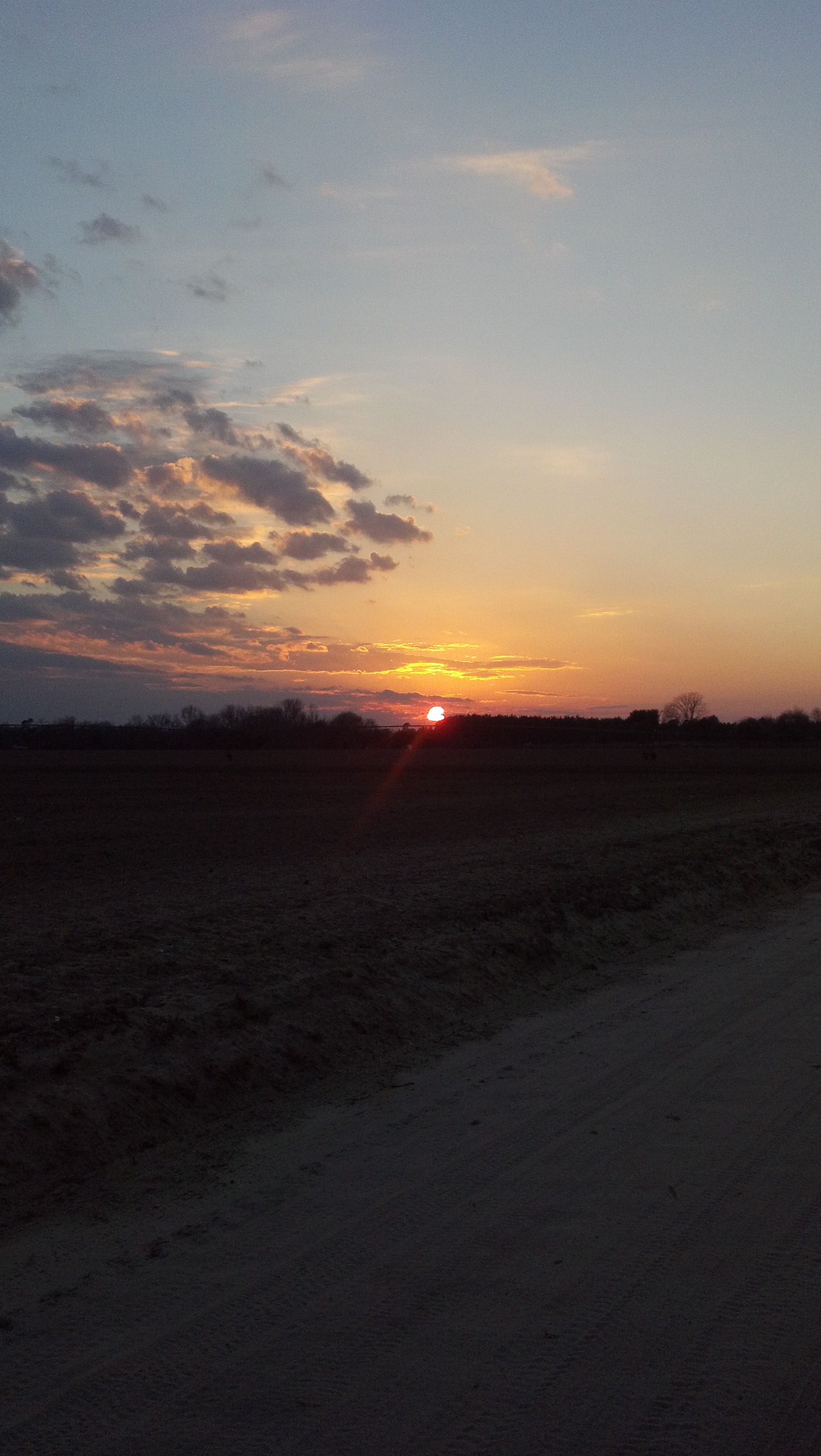
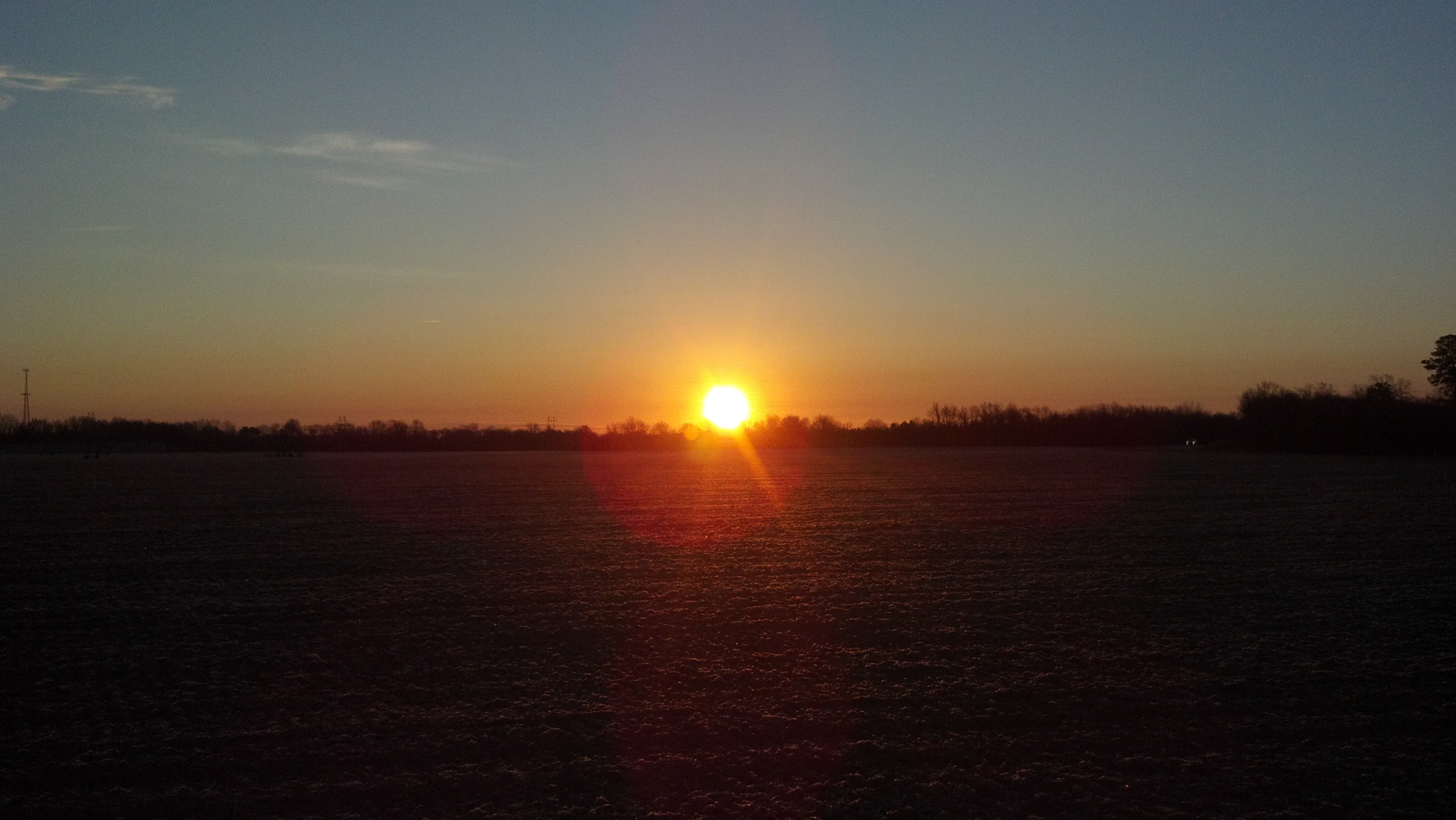
Last nights #beautiful #sunset in #Sumter #SouthCarolina
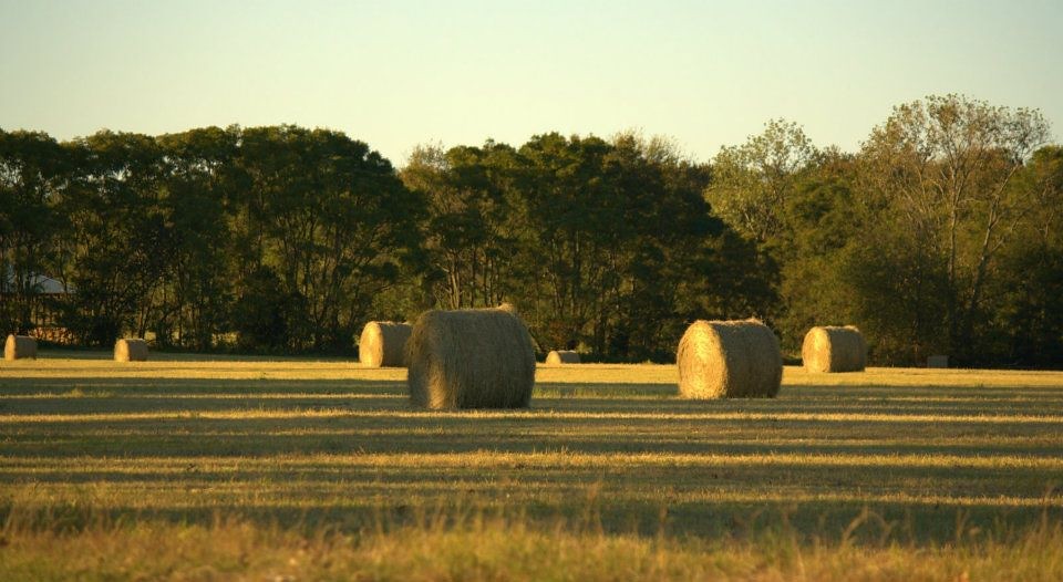
Hay bails in a field on a rural country road.

Nature (sky, animals, fields, flowers, trees, ect)
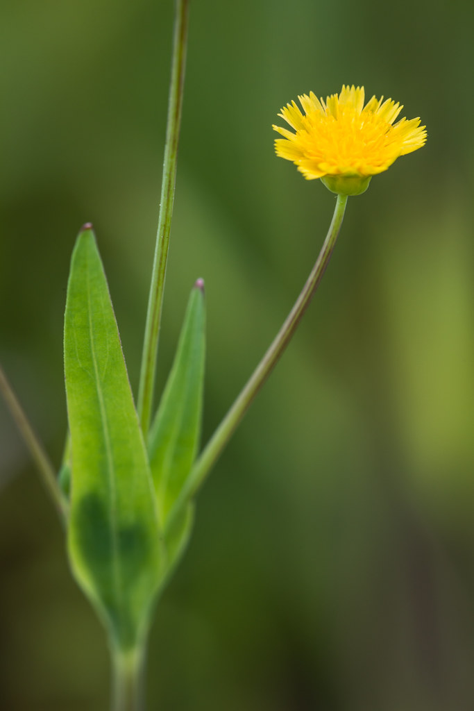
Krigia cespitosa (Opposite-leaf Dwarf-dandelion)

Keeping the enemy away
Nature (sky, animals, fields, flowers, trees, ect)
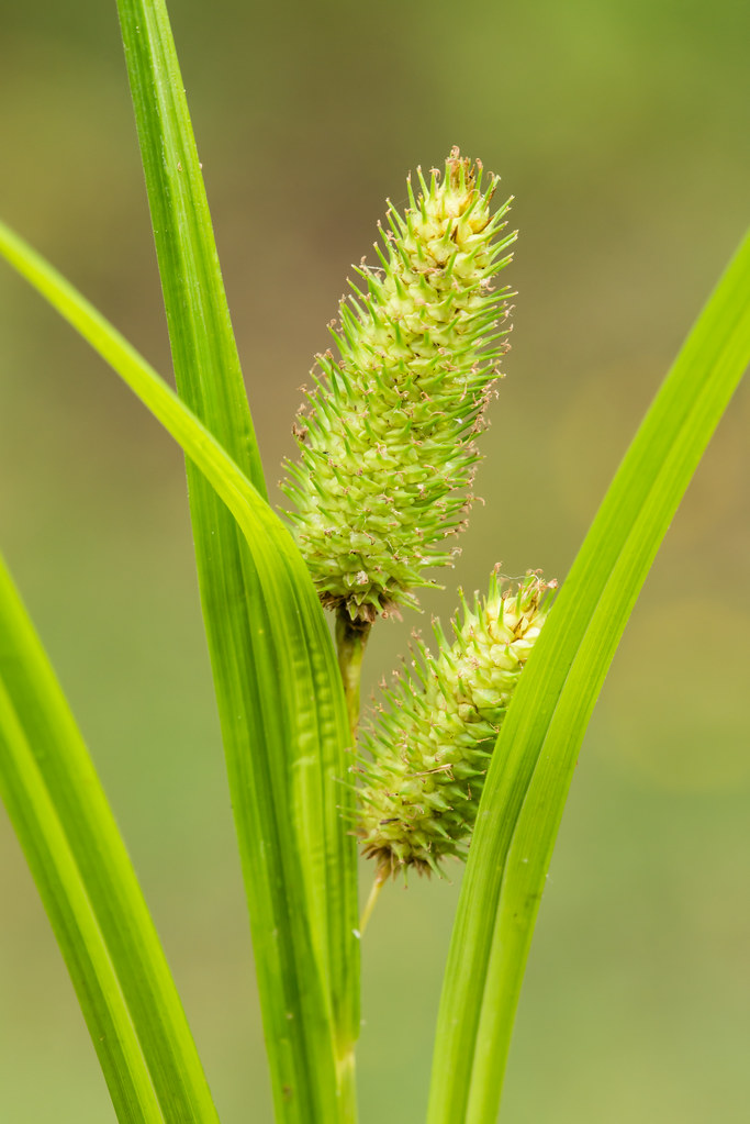
Carex typhina (Cattail Sedge)
Nature (sky, animals, fields, flowers, trees, ect)
Shawfest 2005
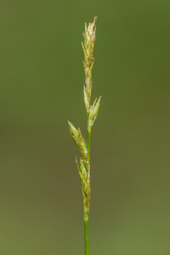
Carex bromoides (Common Brome Sedge)

Black & White pic of a neat looking mushroom
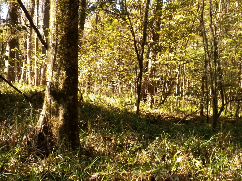
Bottomland hardwoods
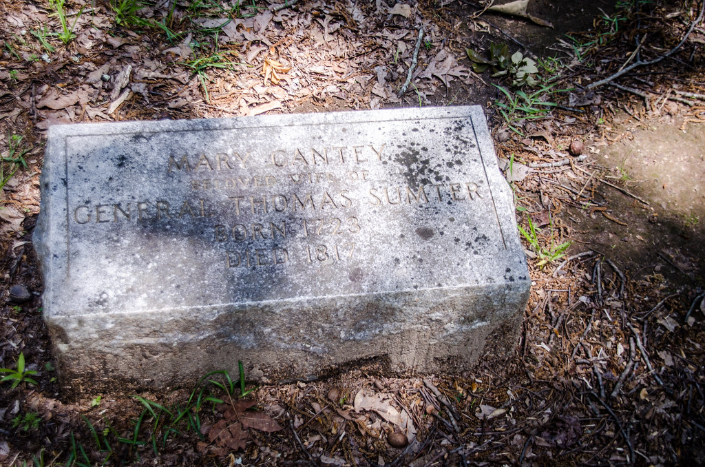
Thomas Sumter Grave-006

Ace Maker vs Smoke N Thunder Jet Car
Nature (sky, animals, fields, flowers, trees, ect)
Nature (sky, animals, fields, flowers, trees, ect)

Carex cherokeensis (Cherokee Sedge)
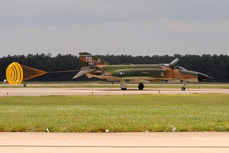
F4 Phantom
Topographic Map of N Kings Hwy, Dalzell, SC, USA
Find elevation by address:

Places near N Kings Hwy, Dalzell, SC, USA:
Claremont Rd, Sumter, SC, USA
8 Valleybrook Ct
2821 Soye Dr
4295 Excursion Dr
4355 Peach Orchard Rd
Rembert
1895 Escallonia Dr
1875 Escallonia Dr
Rifle Lane
2876 Suber St
Dalzell
Wedgefield
8 Melrose Dr
Boykin Rd, Rembert, SC, USA
Wedgewood
Tillman Nursery Rd, Wedgefield, SC, USA
Live Oak Road
2805 Windmill Dr
2845 Windmill Dr
960 Volunteer Ct
Recent Searches:
- Elevation of Groblershoop, South Africa
- Elevation of Power Generation Enterprises | Industrial Diesel Generators, Oak Ave, Canyon Country, CA, USA
- Elevation of Chesaw Rd, Oroville, WA, USA
- Elevation of N, Mt Pleasant, UT, USA
- Elevation of 6 Rue Jules Ferry, Beausoleil, France
- Elevation of Sattva Horizon, 4JC6+G9P, Vinayak Nagar, Kattigenahalli, Bengaluru, Karnataka, India
- Elevation of Great Brook Sports, Gold Star Hwy, Groton, CT, USA
- Elevation of 10 Mountain Laurels Dr, Nashua, NH, USA
- Elevation of 16 Gilboa Ln, Nashua, NH, USA
- Elevation of Laurel Rd, Townsend, TN, USA