Elevation of N Fryeburg Rd, Fryeburg, ME, USA
Location: United States > Maine > Oxford County > Fryeburg >
Longitude: -70.977642
Latitude: 44.1208018
Elevation: 119m / 390feet
Barometric Pressure: 100KPa
Elevation Map:
Satellite Map:
Related Photos:

White Mountains

Butler_NH_Ice_2010 053
Mount Washington sunset

Mt. Washington at Sunset

Baldface - 24
Mount Washington Valley - North Conway, New Hampshire.

Mount Washington Valley Autumn

Presidential Traverse and Reverse

Presidential Traverse and Reverse

IMG_20150502_074359.jpg
Mount Washington

North Toward Washington

Presidential Traverse and Reverse

New Hampshire Foliage
Baldface - 08
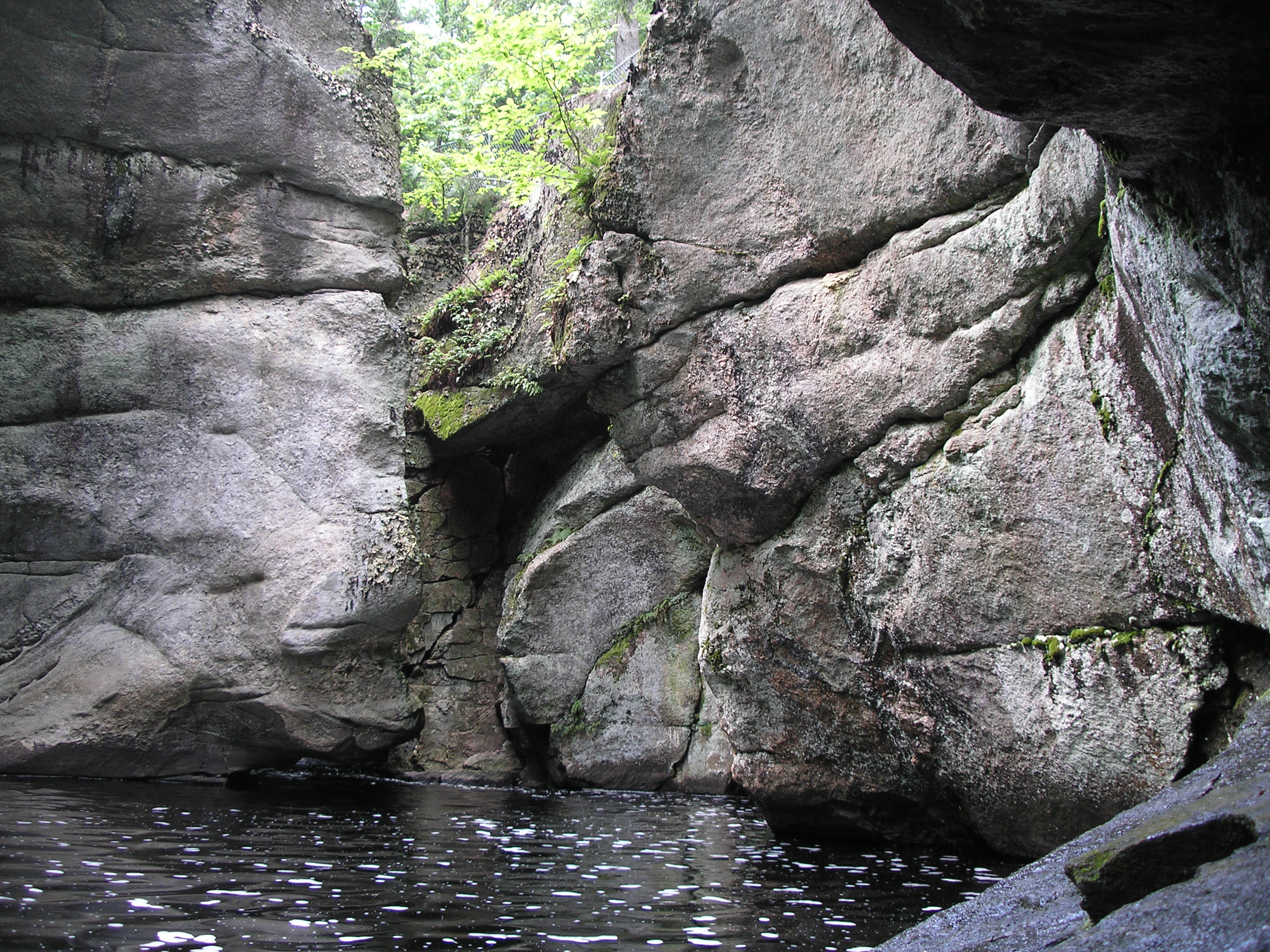
2006 Jul Maine (35)
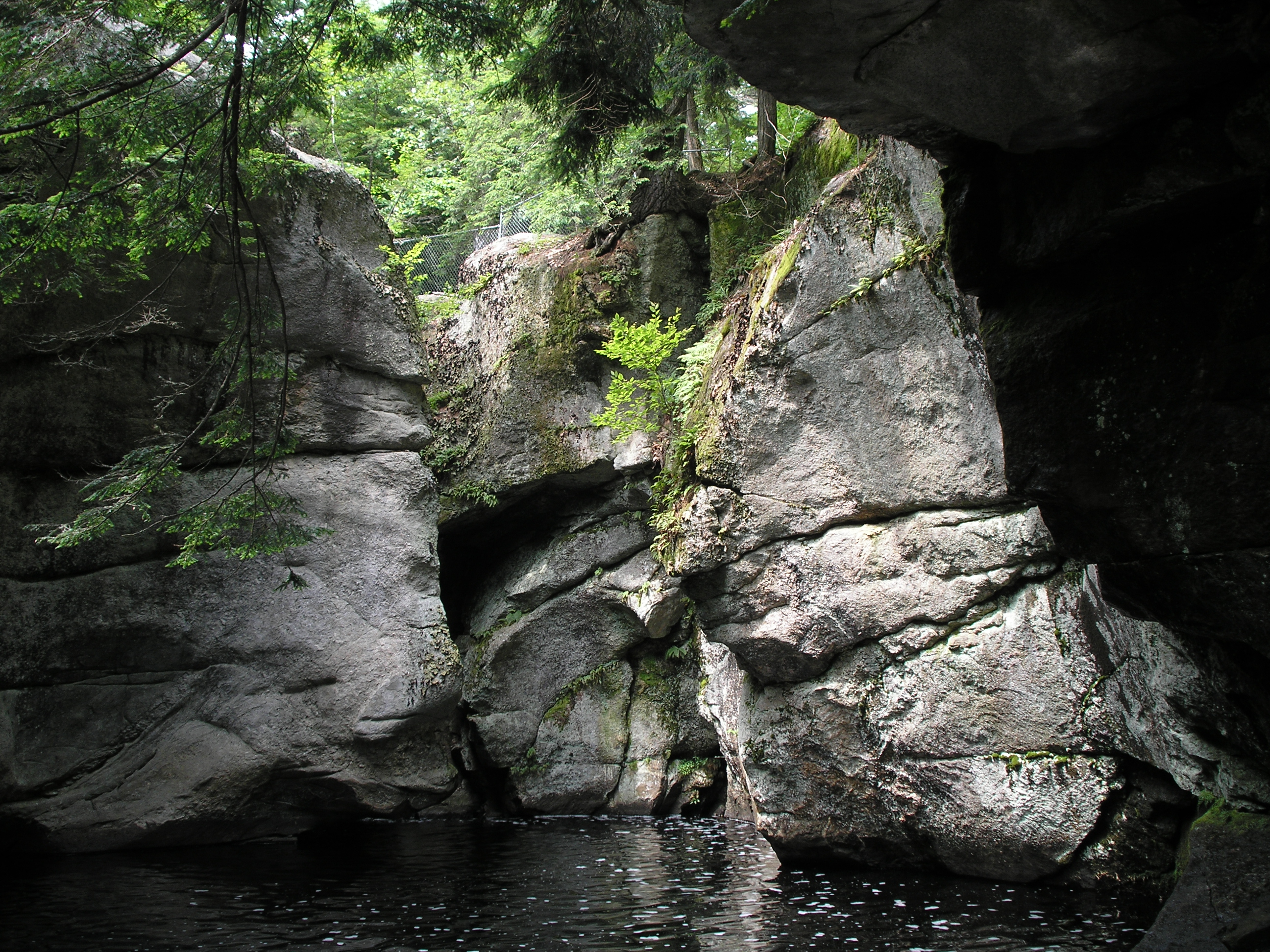
2006 Jul Maine (30)

Presidential Traverse and Reverse

Dat sunset doe
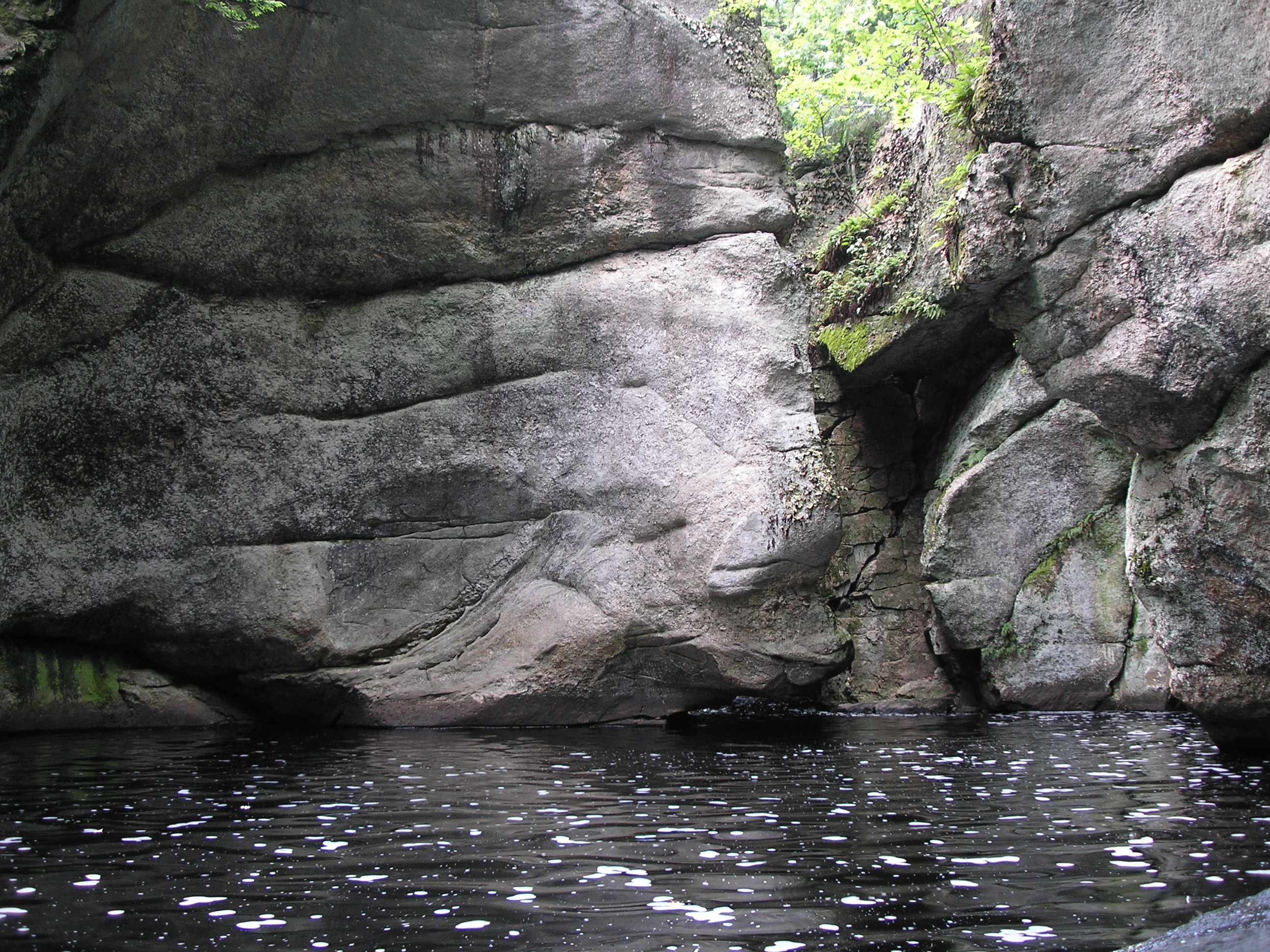
2006 Jul Maine (36)
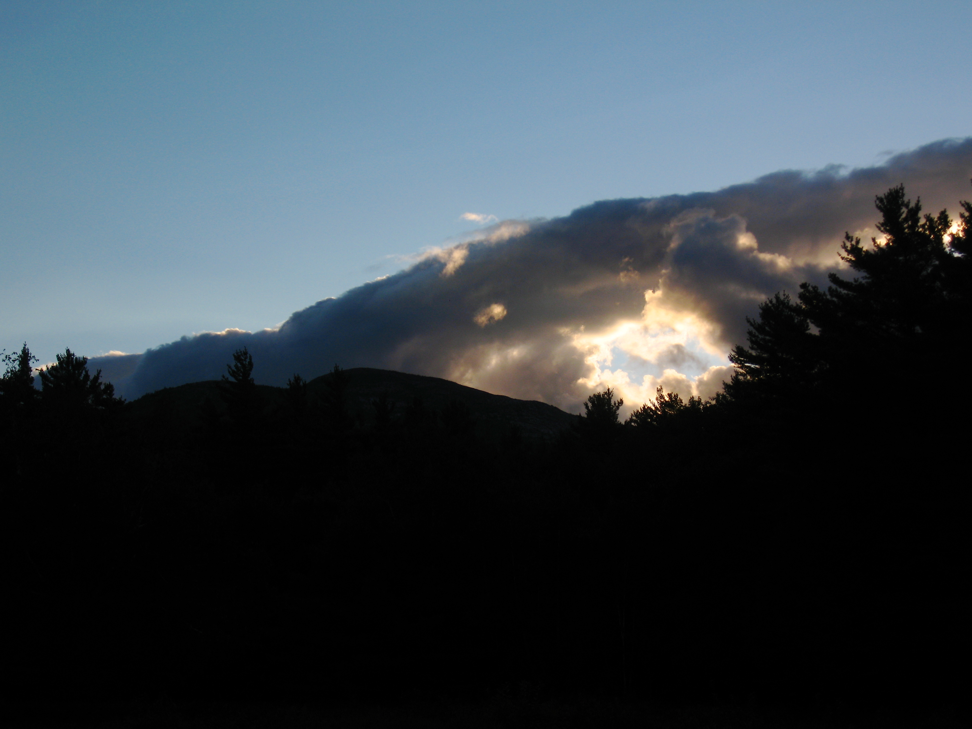
clouds in camp
Topographic Map of N Fryeburg Rd, Fryeburg, ME, USA
Find elevation by address:

Places near N Fryeburg Rd, Fryeburg, ME, USA:
10 Province Brook Rd
Main Street
Leach Road
Molly Ockett School
E Conway Rd, Center Conway, NH, USA
Fryeburg
58 Fair St
Quarry Road
2996 E Main St
5 Denmark Rd, Denmark, ME, USA
Whitetail Ridge Road
14 Hawk Rd
11 Blue Jay Ln
9 S Bay Rd
All Moosed Home
119 Mountain Rd
Moose Pond
Pine Knoll Road
Fl 268e
New England
Recent Searches:
- Elevation of Corso Fratelli Cairoli, 35, Macerata MC, Italy
- Elevation of Tallevast Rd, Sarasota, FL, USA
- Elevation of 4th St E, Sonoma, CA, USA
- Elevation of Black Hollow Rd, Pennsdale, PA, USA
- Elevation of Oakland Ave, Williamsport, PA, USA
- Elevation of Pedrógão Grande, Portugal
- Elevation of Klee Dr, Martinsburg, WV, USA
- Elevation of Via Roma, Pieranica CR, Italy
- Elevation of Tavkvetili Mountain, Georgia
- Elevation of Hartfords Bluff Cir, Mt Pleasant, SC, USA