Elevation of N Foothills Dr, Tucson, AZ, USA
Location: United States > Arizona > Pima County > Tucson > The Foothills Townhomes >
Longitude: -110.92122
Latitude: 32.325484
Elevation: 841m / 2759feet
Barometric Pressure: 92KPa
Elevation Map:
Satellite Map:
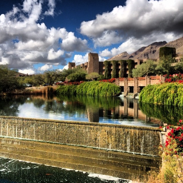
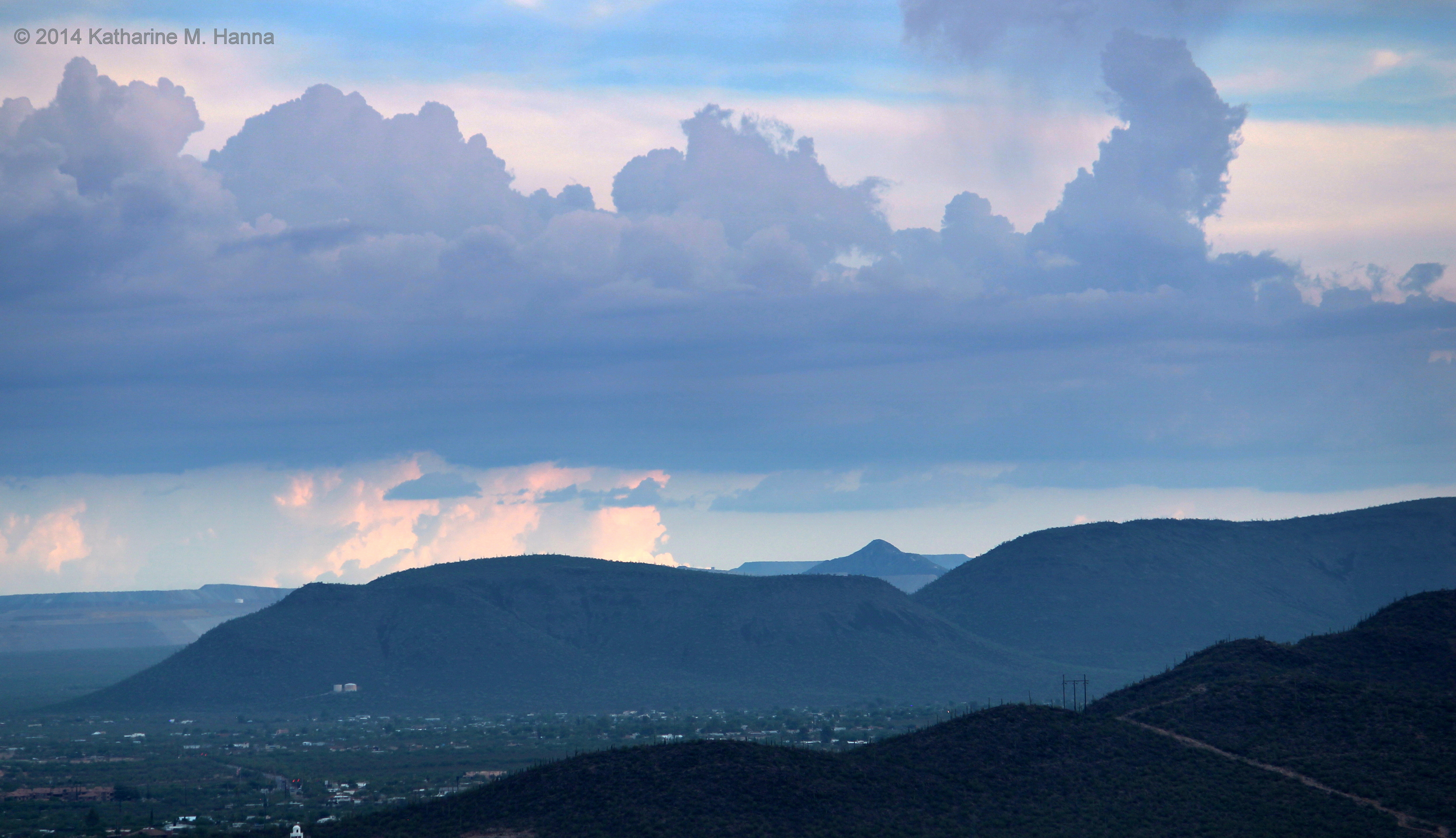
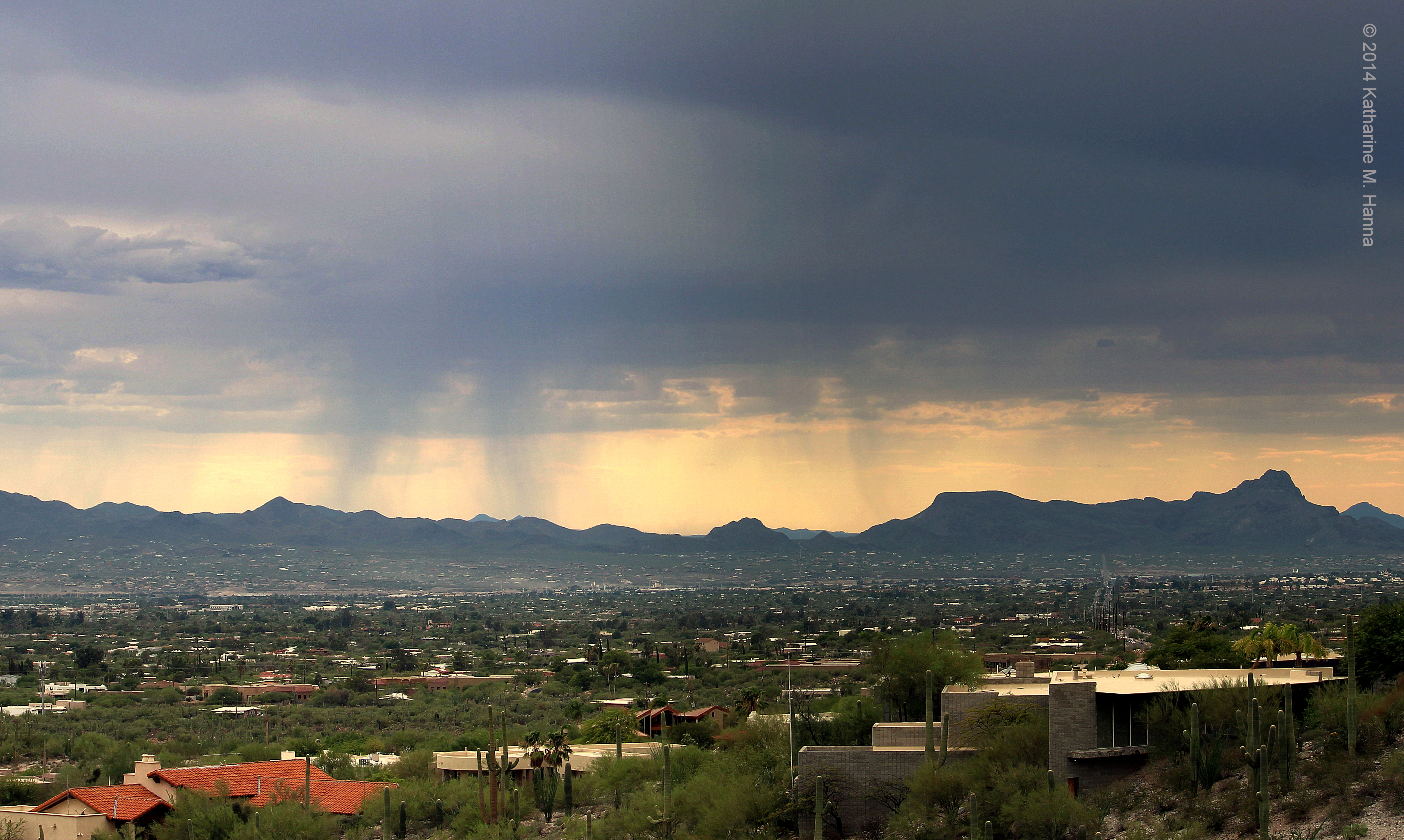
Related Photos:
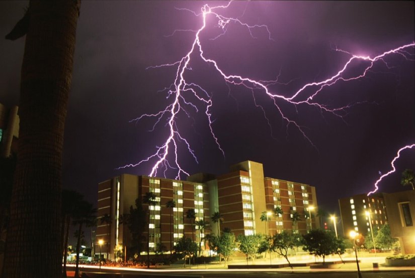
Close Lightning

the buffet cocktails package liquors, tucson, est 1934
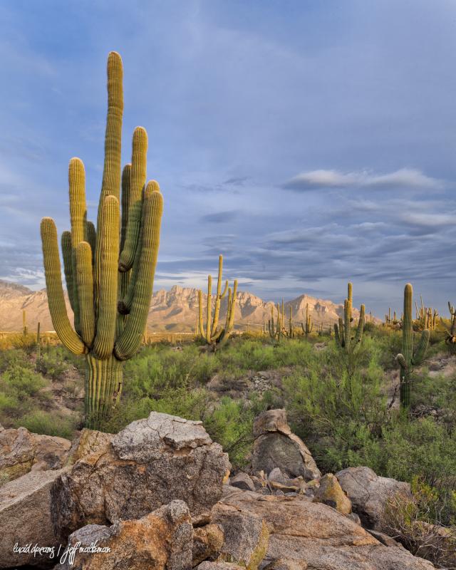
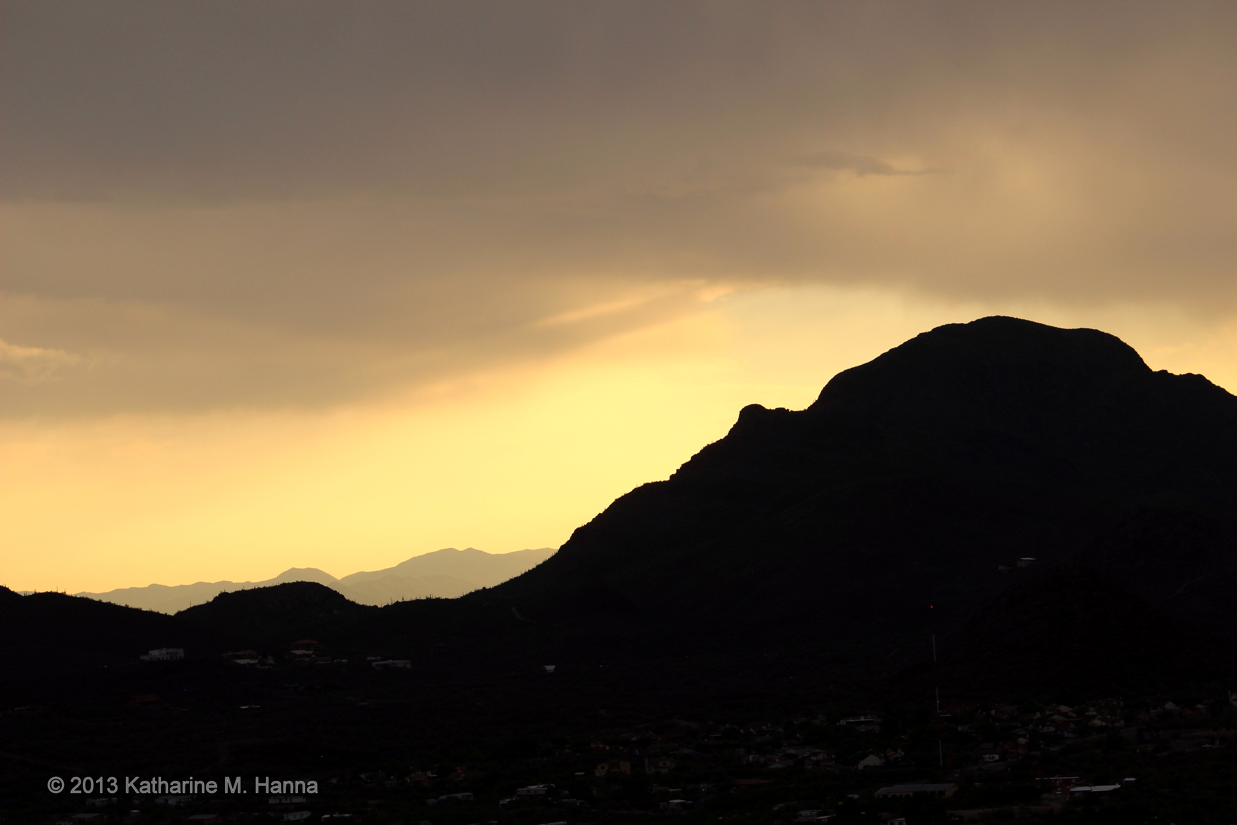
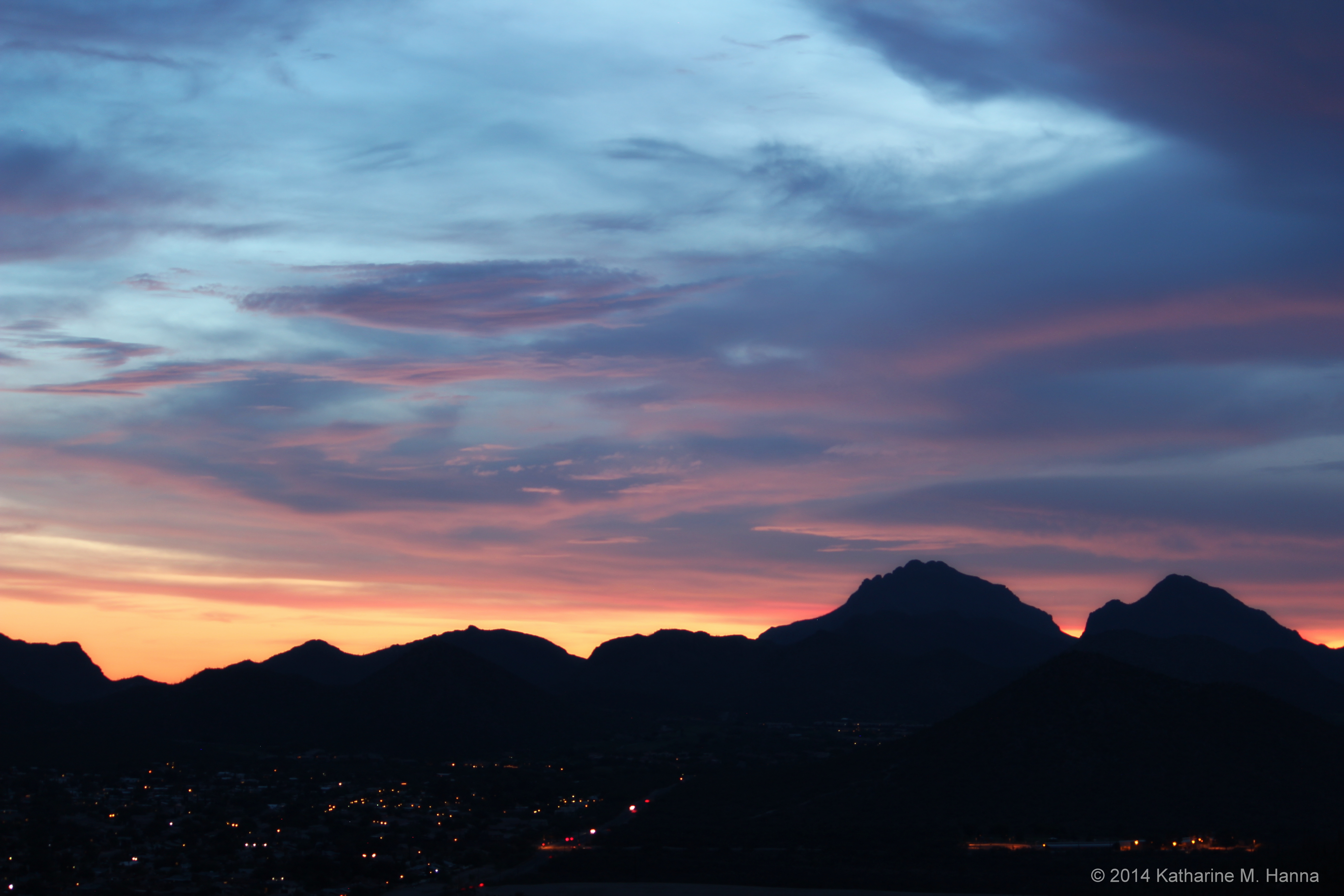
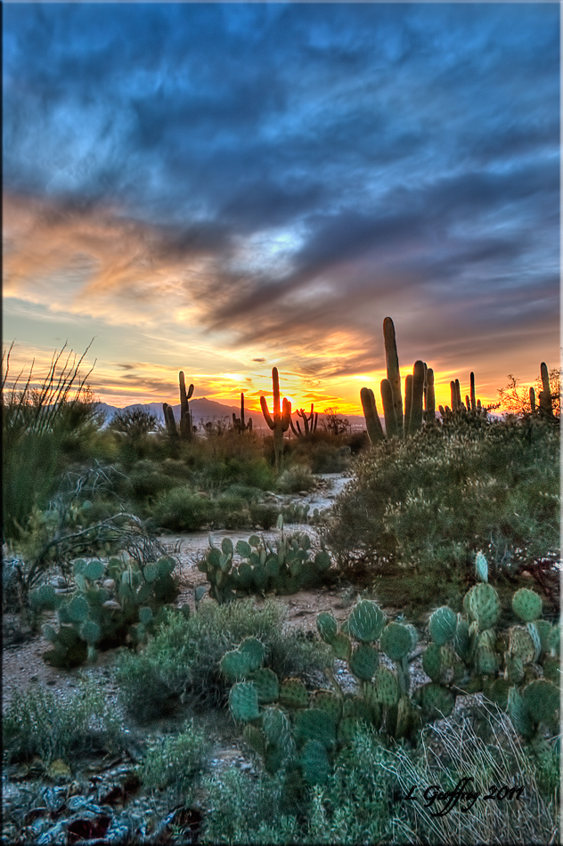
Sundown at Pusch Ridge
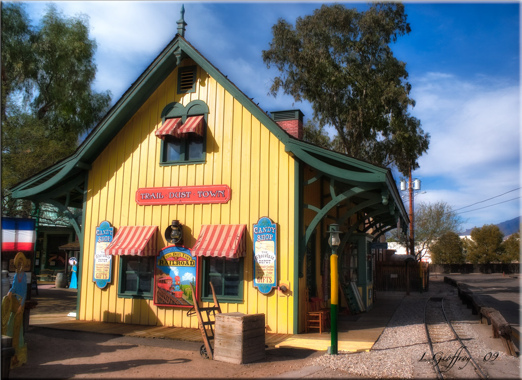
Trail Dust Depot

the shelter, est. early 1960s
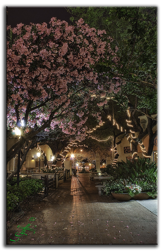
Cherry Blossoms by Night :: HDR
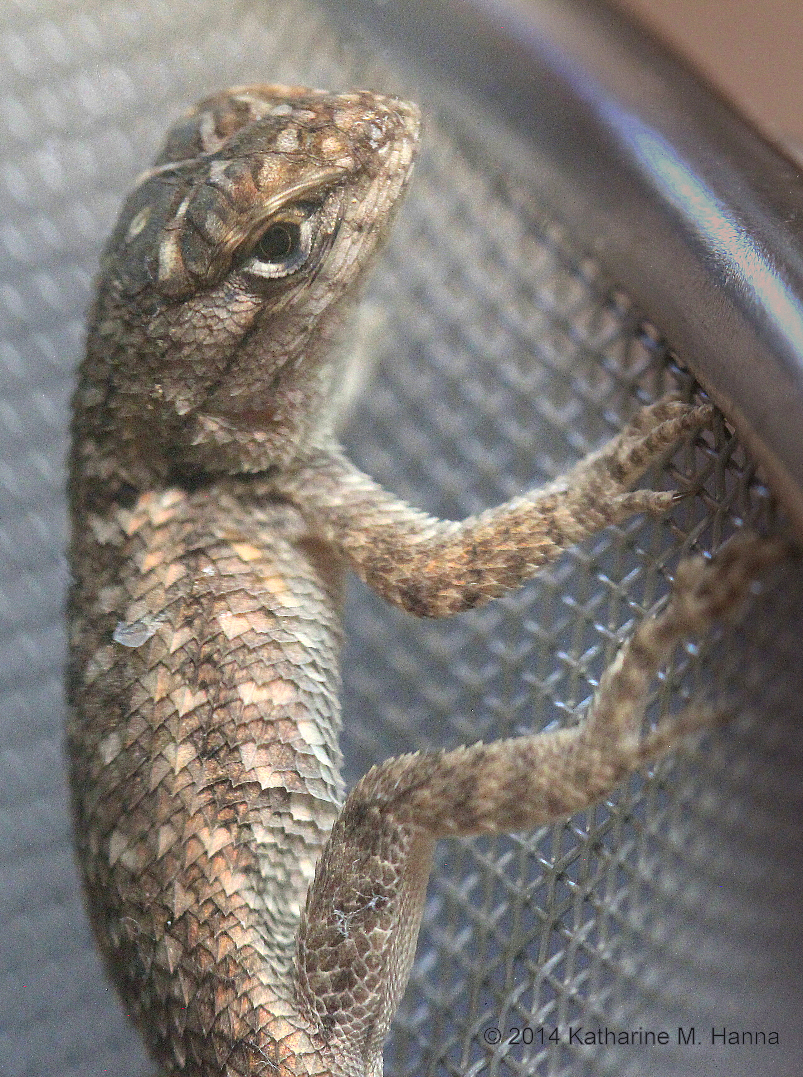
Juvenile Clark’s Spiny Lizard (Sceloporus clarkii). Tucson, Arizona.

the loft

"all roads lead to The Buffet"

tiki motel (formerly the oracle motel, est 1940)
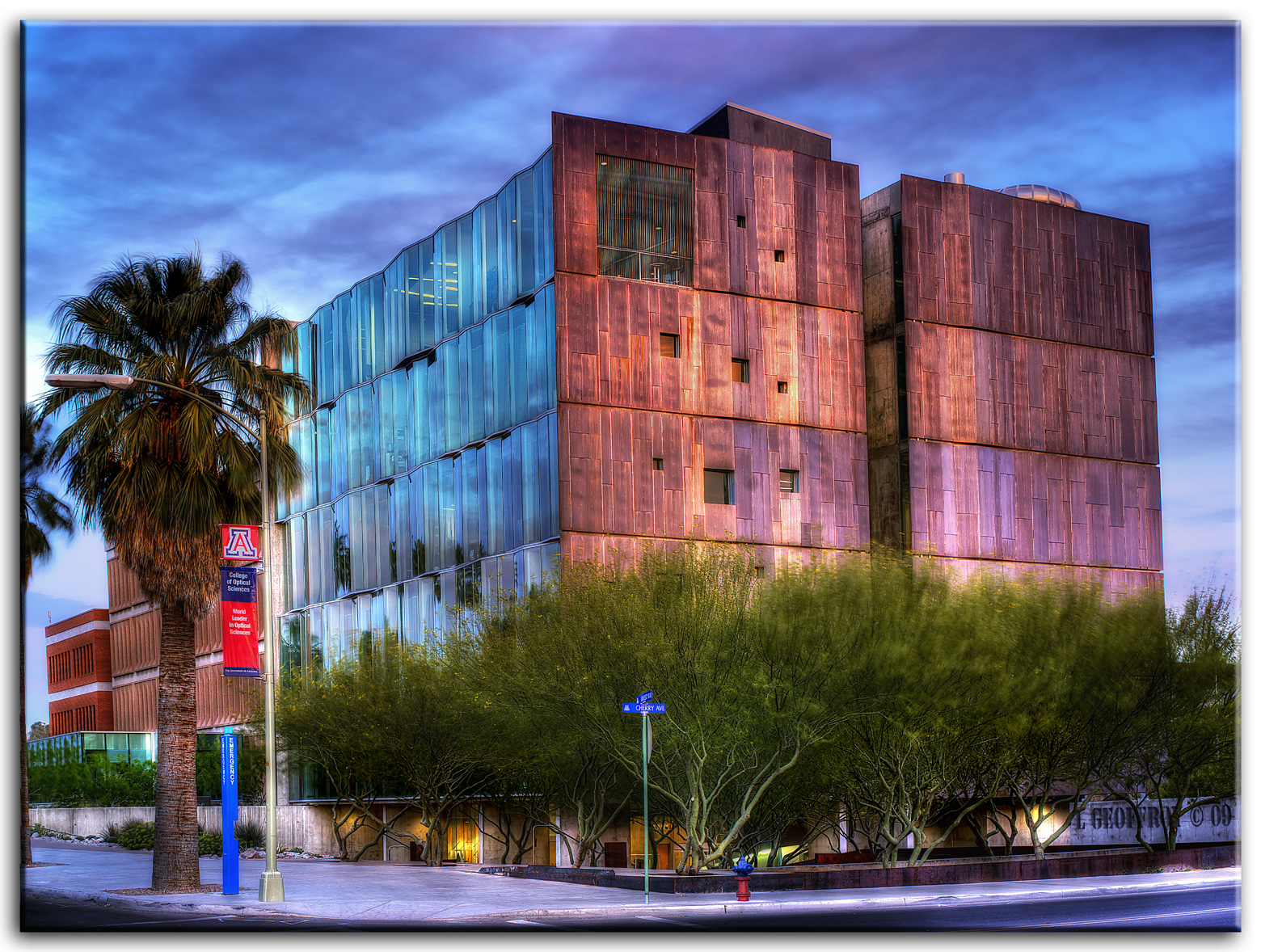
College of Optical Science

Drought. Tucson, Arizona.

Thomas W. Keating Building
Monsoon clouds - view west from 'A' Mountain. Tucson, Arizona.
gateway saguaro
Wow view

Desert decor. Tucson, Arizona.
Blue hour view south from 'A' Mountain toward Mexico.
View west from north end of Campbell Avenue, Tucson, Arizona.
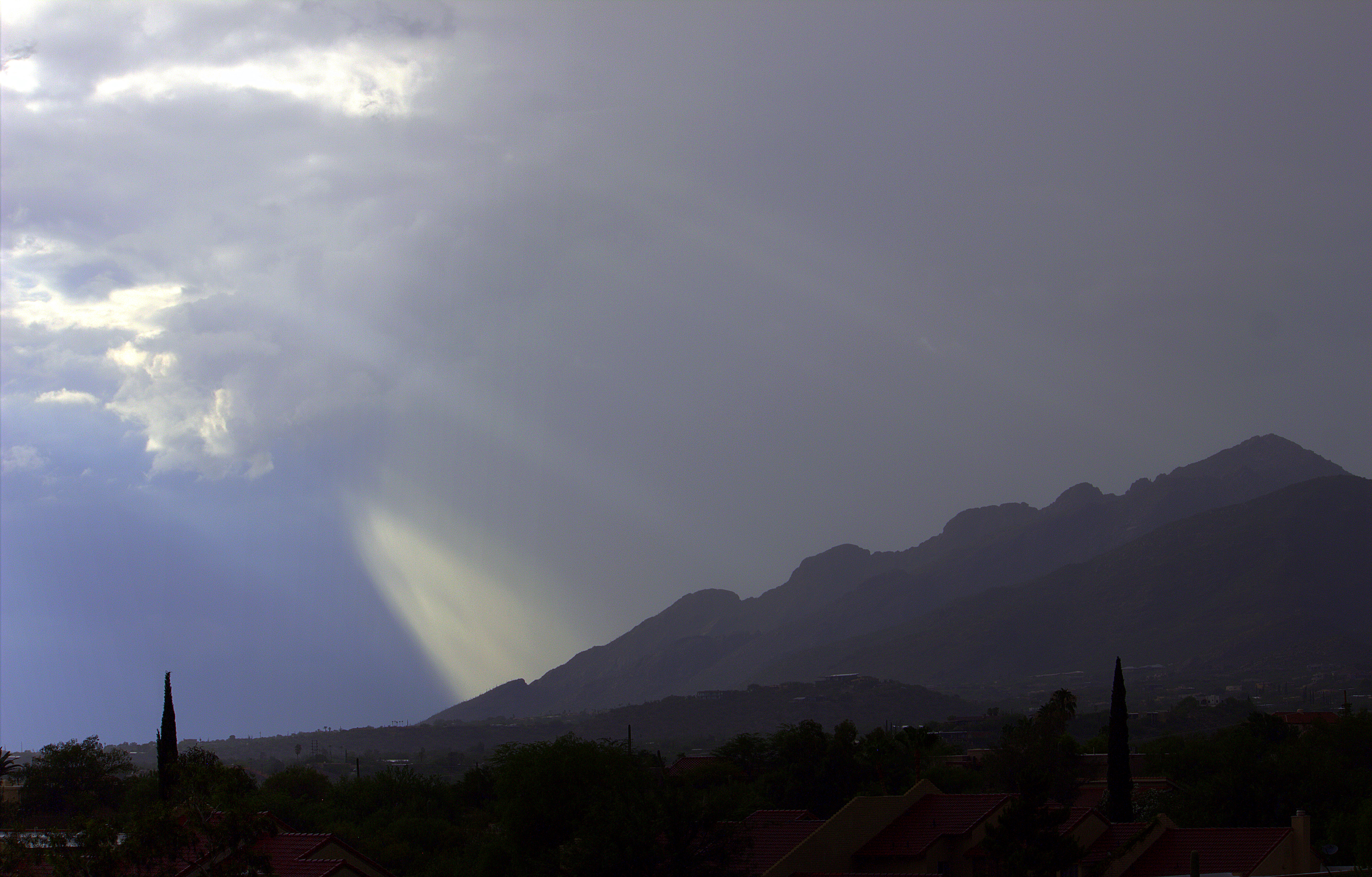
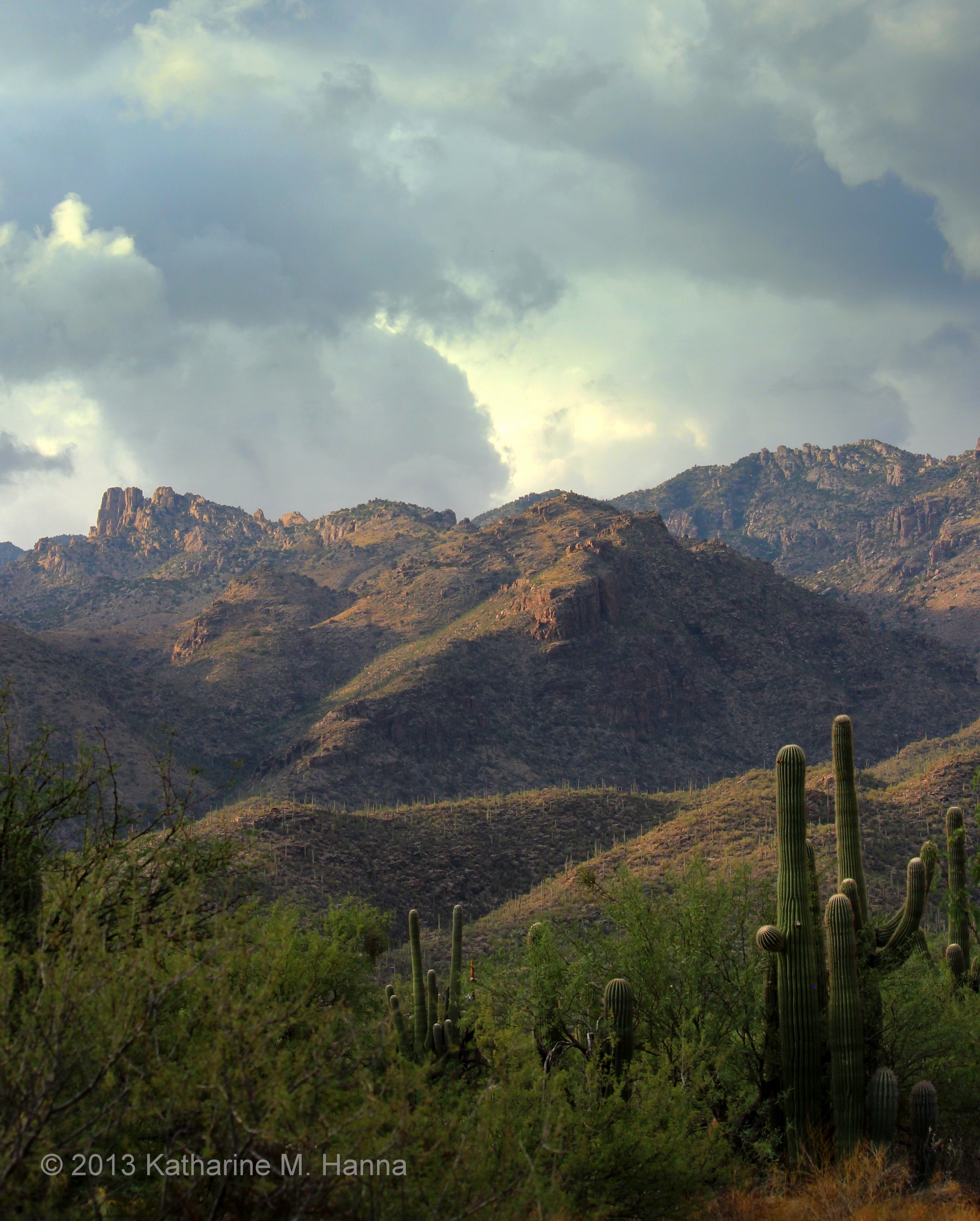
Pusch Ridge in the rain. Santa Catalina Mountains, Tucson, Arizona.

View southeast from north end of Campbell Avenue. Tucson, Arizona.
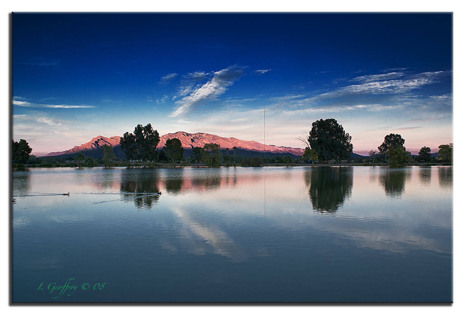
Columbus Lake

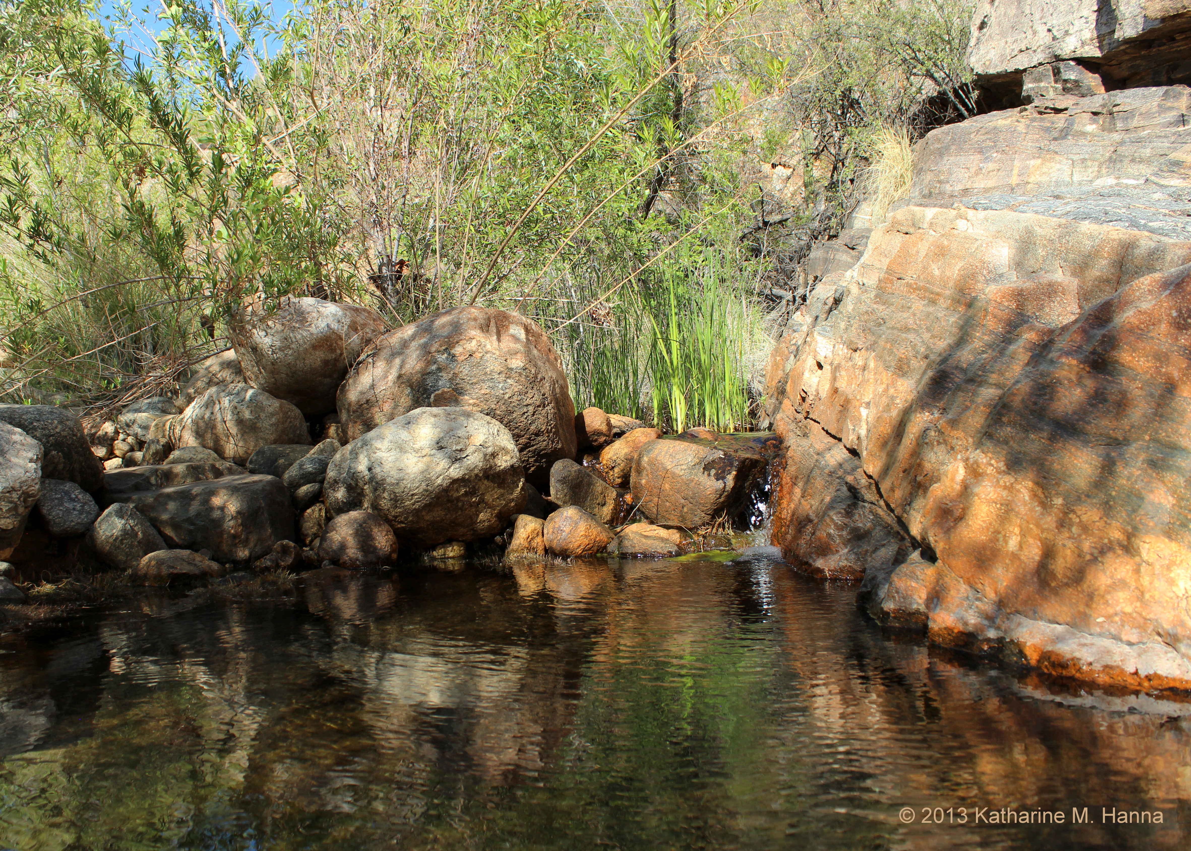
At the mouth of Sabino Canyon (2). Tucson, Arizona.

Sunset view west from 'A' Mountain, 1. Tucson, Arizona.
Sunset view of the Tucson Mountains from 'A' Mountain. Tucson, Arizona.
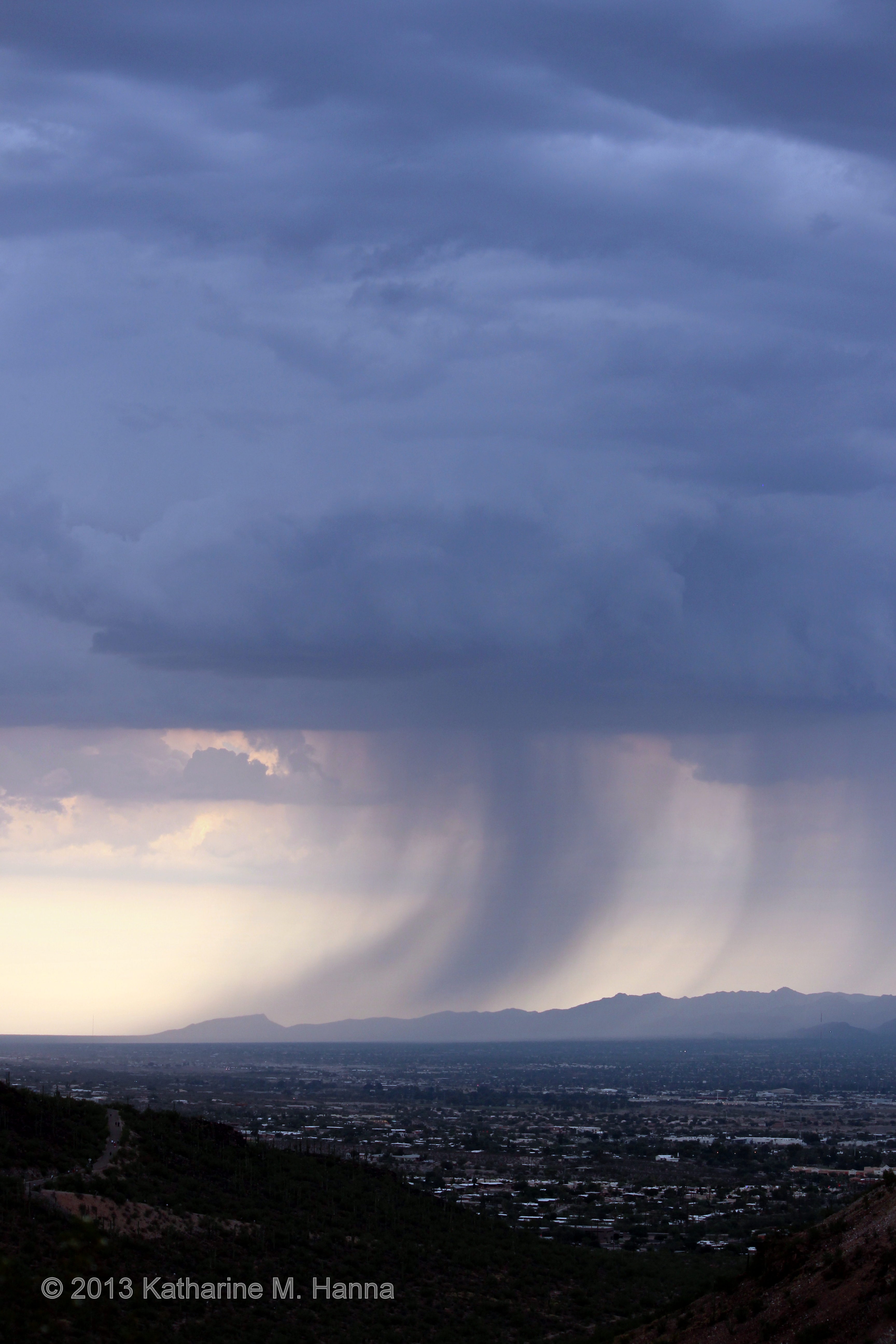
Monsoon rain over the Tortolitas - view north from 'A' Mountain. Tucson, Arizona. EXPLORE - Aug. 24, 2013.
At the mouth of Sabino Canyon. Tucson, Arizona.
Saguaro Sunset

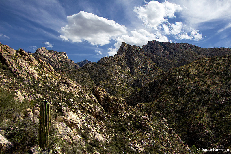
Finger Rock Trail

December 13th- Day 347
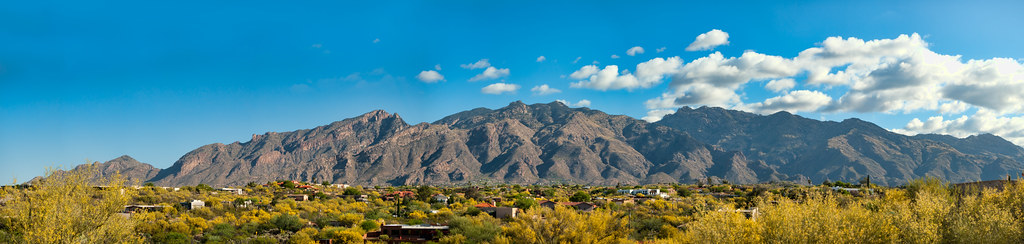
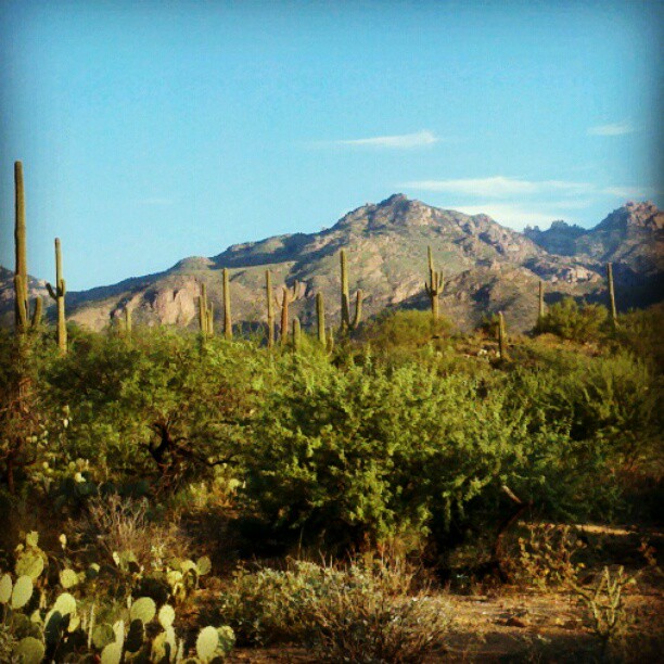
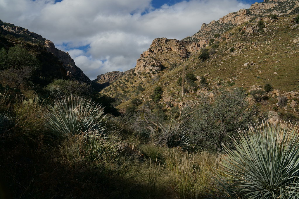
Catalina Mountains
Catalina Mountains

Sunset view south from 'A' Mountain toward Mexico.
The sunrise this morning was gorgeous, but I didnt get a chance to take a picture. You'll have to deal with some #sabinocanyon #saguaro and a view of the #santacatalinas. Good morning, #tucson!
we made it a little further

Tucson Mountains - Arizona

a path in nature

Hangin-Low
At Bear Creek. Tucson, Arizona.
Topographic Map of N Foothills Dr, Tucson, AZ, USA
Find elevation by address:

Places near N Foothills Dr, Tucson, AZ, USA:
3401 E Guthrie Mountain Pl
The Foothills Townhomes
6660 N Pidgeon Spring Pl
Bank Of America Financial Center
La Encantada
2858 E Avenida De Pueblo
Catalina Pueblo
2550 E Avenida De Posada
Cobblestone
5870 N Campbell Ave
7402 N Camino Sin Vacas
7356 N Camino Sin Vacas
North Window Peak Road
Sin Vacas
6531 N Calle Sin Nombre
5400 N Vía Celeste
2196 E Cerrado Brio
6499 N Camino Padre Isidoro
Catalina Foothills Estates
Santa Catalina Estates
Recent Searches:
- Elevation of Leyte Industrial Development Estate, Isabel, Leyte, Philippines
- Elevation of W Granada St, Tampa, FL, USA
- Elevation of Pykes Down, Ivybridge PL21 0BY, UK
- Elevation of Jalan Senandin, Lutong, Miri, Sarawak, Malaysia
- Elevation of Bilohirs'k
- Elevation of 30 Oak Lawn Dr, Barkhamsted, CT, USA
- Elevation of Luther Road, Luther Rd, Auburn, CA, USA
- Elevation of Unnamed Road, Respublika Severnaya Osetiya — Alaniya, Russia
- Elevation of Verkhny Fiagdon, North Ossetia–Alania Republic, Russia
- Elevation of F. Viola Hiway, San Rafael, Bulacan, Philippines