Elevation of N Emmerson St, Slater, MO, USA
Location: United States > Missouri > Saline County > Cambridge Township > Slater >
Longitude: -93.054964
Latitude: 39.2221908
Elevation: 253m / 830feet
Barometric Pressure: 98KPa
Elevation Map:
Satellite Map:
Related Photos:
Friends on Black's Farm
Friends on Black's Farm 28 x 6
Missouri Drought
GWWR 3096
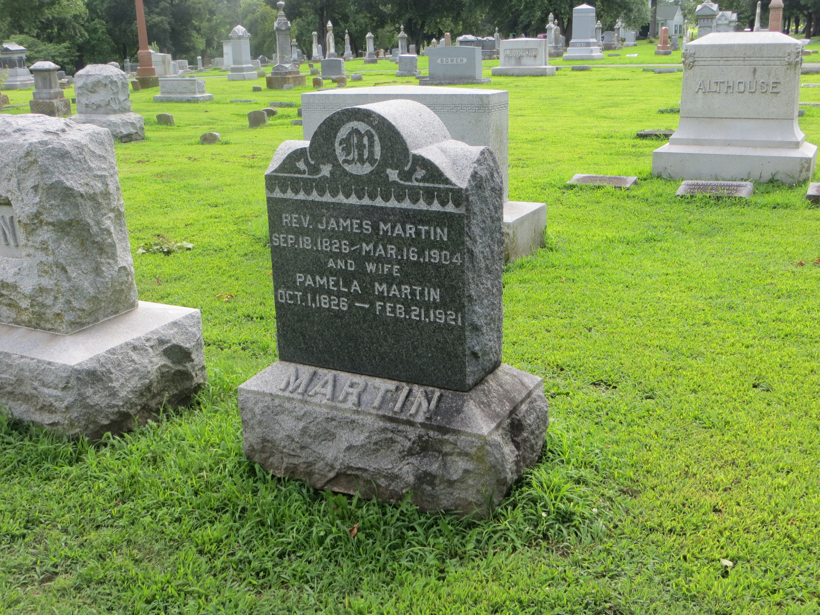
20160707 77 James & Pamela Martin gravesite, Marshall, Missouri
IMG_5987.jpg

philco sold here

Tombstones II
DPU 8001
ex-FTRL 1670
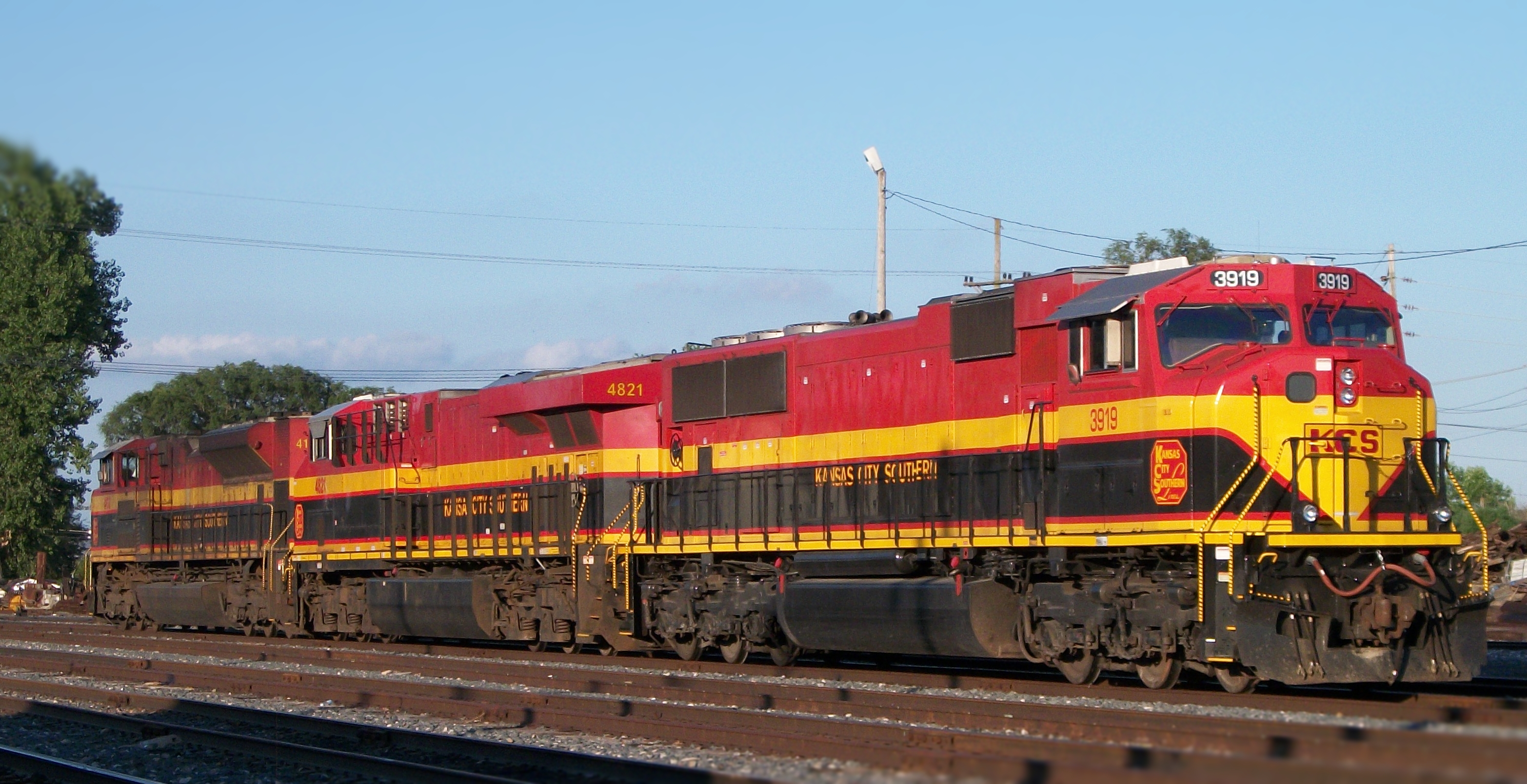
KCS 3919 & Co.
Topographic Map of N Emmerson St, Slater, MO, USA
Find elevation by address:

Places near N Emmerson St, Slater, MO, USA:
Slater
Cambridge Township
MO-, Gilliam, MO, USA
Saline County
E Eastwood St, Marshall, MO, USA
18173 Mallard Trail
Marshall
Mallard Trail, Marshall, MO, USA
Marshall Township
Arrow Rock Township
Main St, Arrow Rock, MO, USA
Arrow Rock
202 5th St
County Road 314
17800 Clear Springs Dr
17790 Clear Springs Dr
17790 Clear Springs Dr
Pilot Grove Township
9708 Prairie Lick Rd
Prairie Lick Road
Recent Searches:
- Elevation of NY-, Friendship, NY, USA
- Elevation of 64 Danakas Dr, Winnipeg, MB R2C 5N7, Canada
- Elevation of 4 Vale Rd, Sheffield S3 9QX, UK
- Elevation of Keene Point Drive, Keene Point Dr, Grant, AL, USA
- Elevation of State St, Zanesville, OH, USA
- Elevation of Austin Stone Dr, Haslet, TX, USA
- Elevation of Bydgoszcz, Poland
- Elevation of Bydgoszcz, Poland
- Elevation of Calais Dr, Del Mar, CA, USA
- Elevation of Placer Mine Ln, West Jordan, UT, USA