Elevation of N E, Ashton, ID, USA
Location: United States > Idaho > Fremont County > Ashton >
Longitude: -111.47834
Latitude: 44.0486366
Elevation: 1602m / 5256feet
Barometric Pressure: 83KPa
Elevation Map:
Satellite Map:
Related Photos:

Common Yellowthroat view #2, Chester Wetlands, Chester, ID 2012
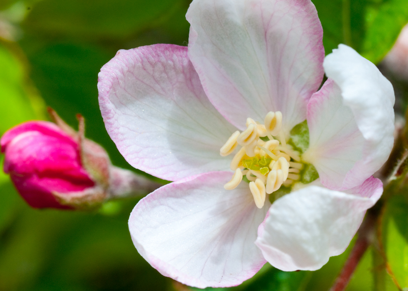
Soft Focus White Flower front view

Seattle - Yellowstone-8203.jpg

Ashton Idaho Sunset July 24th 2011

Seattle - Yellowstone-8206.jpg
Seattle - Yellowstone-8204.jpg

Sand Creek Idaho
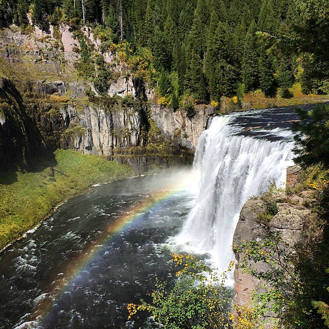
#MesaFalls produced a lovely rainbow today. #GreaterYellowstoneEcosystem #iPhoneOnly #IDontMesaAround

IMG_2826-Edit.jpg

Grand Teton Relay Leg #2
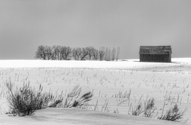
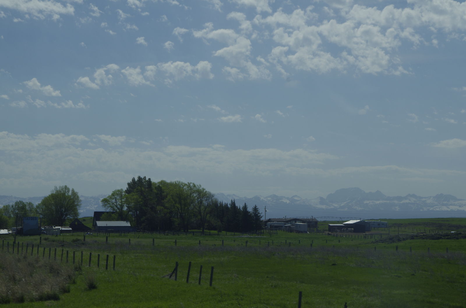
Idaho Barn

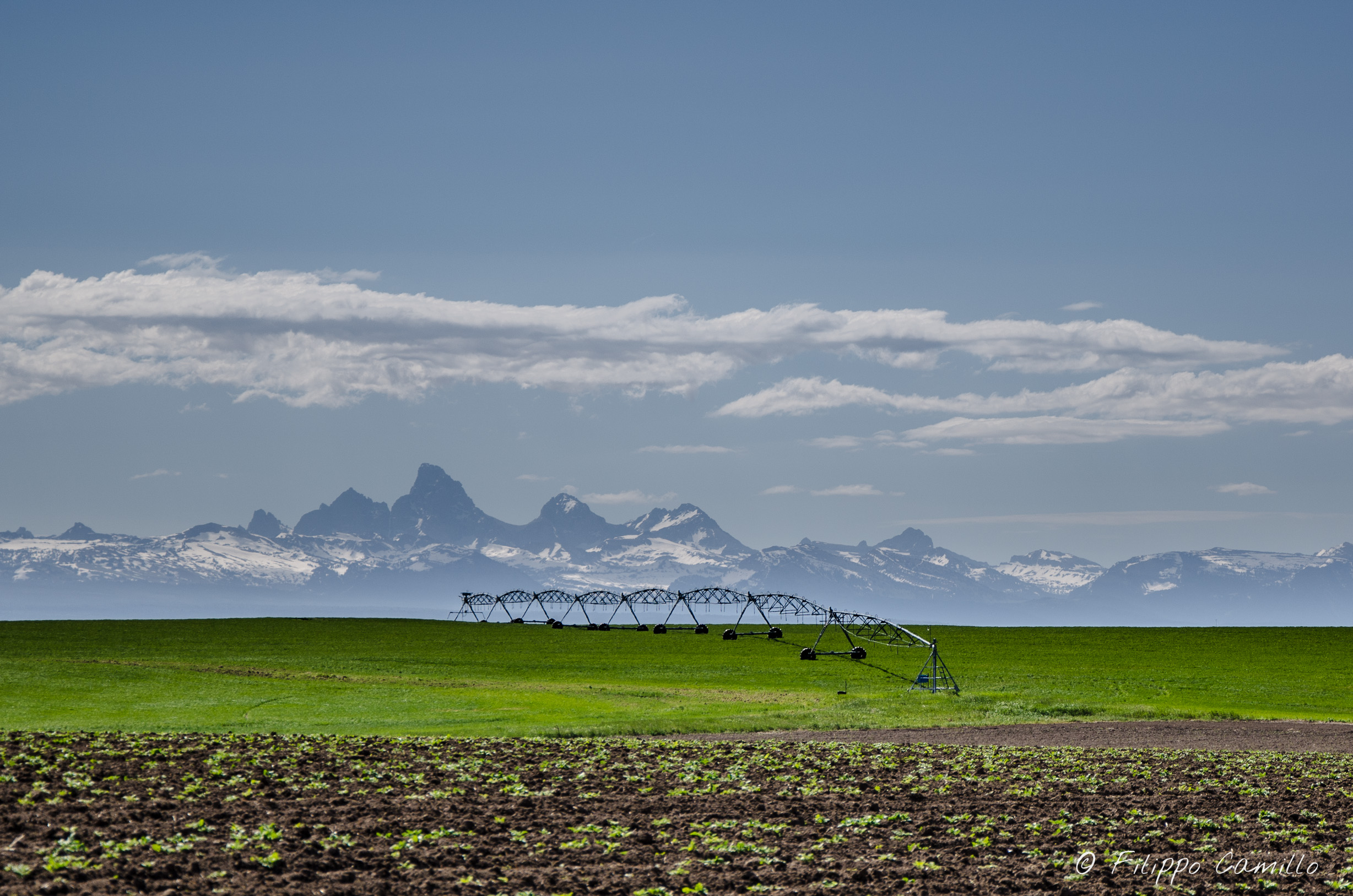
Road through the Idaho Valley Farms
_K5P7243.JPG
Topographic Map of N E, Ashton, ID, USA
Find elevation by address:

Places near N E, Ashton, ID, USA:
Ashton
N E, Ashton, ID, USA
Fremont County
ID-33, Rexburg, ID, USA
Newdale
Saint Anthony
205 W 2nd N
317 Teton Hwy
1600 Robinson Creek Rd
1540 W Potpourri Dr
44 Main St, Teton, ID, USA
Teton
Green Canyon Hot Springs
E N, Teton, ID, USA
438 N 2000 E
Madison County
2839 E 1000 N
5 E Center St, Sugar City, ID, USA
Sugar City
Old Highway, Island Park, ID, USA
Recent Searches:
- Elevation of W Granada St, Tampa, FL, USA
- Elevation of Pykes Down, Ivybridge PL21 0BY, UK
- Elevation of Jalan Senandin, Lutong, Miri, Sarawak, Malaysia
- Elevation of Bilohirs'k
- Elevation of 30 Oak Lawn Dr, Barkhamsted, CT, USA
- Elevation of Luther Road, Luther Rd, Auburn, CA, USA
- Elevation of Unnamed Road, Respublika Severnaya Osetiya — Alaniya, Russia
- Elevation of Verkhny Fiagdon, North Ossetia–Alania Republic, Russia
- Elevation of F. Viola Hiway, San Rafael, Bulacan, Philippines
- Elevation of Herbage Dr, Gulfport, MS, USA