Elevation of N Corbin Rd, Walker, LA, USA
Location: United States > Louisiana > Livingston Parish > > Walker >
Longitude: -90.823442
Latitude: 30.5763149
Elevation: -10000m / -32808feet
Barometric Pressure: 295KPa
Elevation Map:
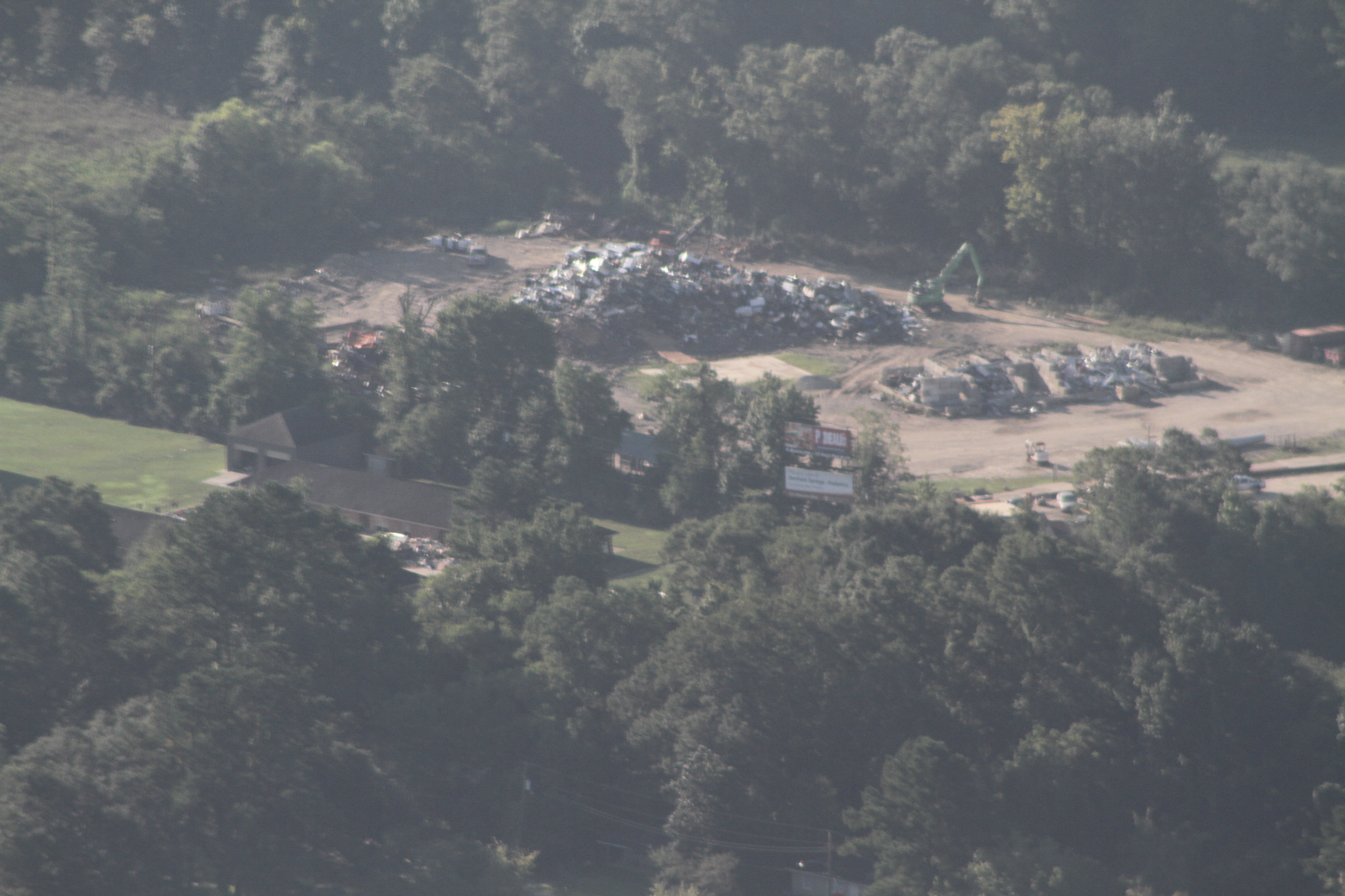
Satellite Map:
Related Photos:
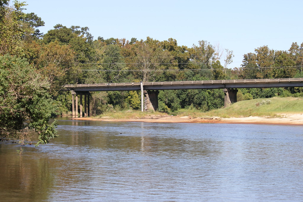
Magnolia Bridge
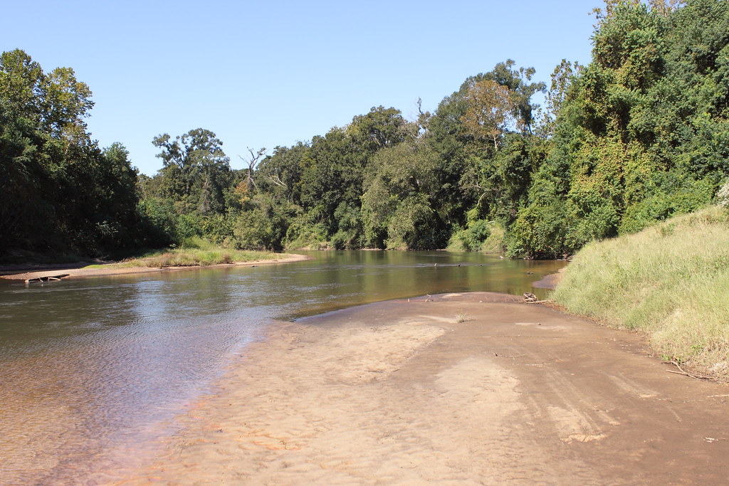
Amite River

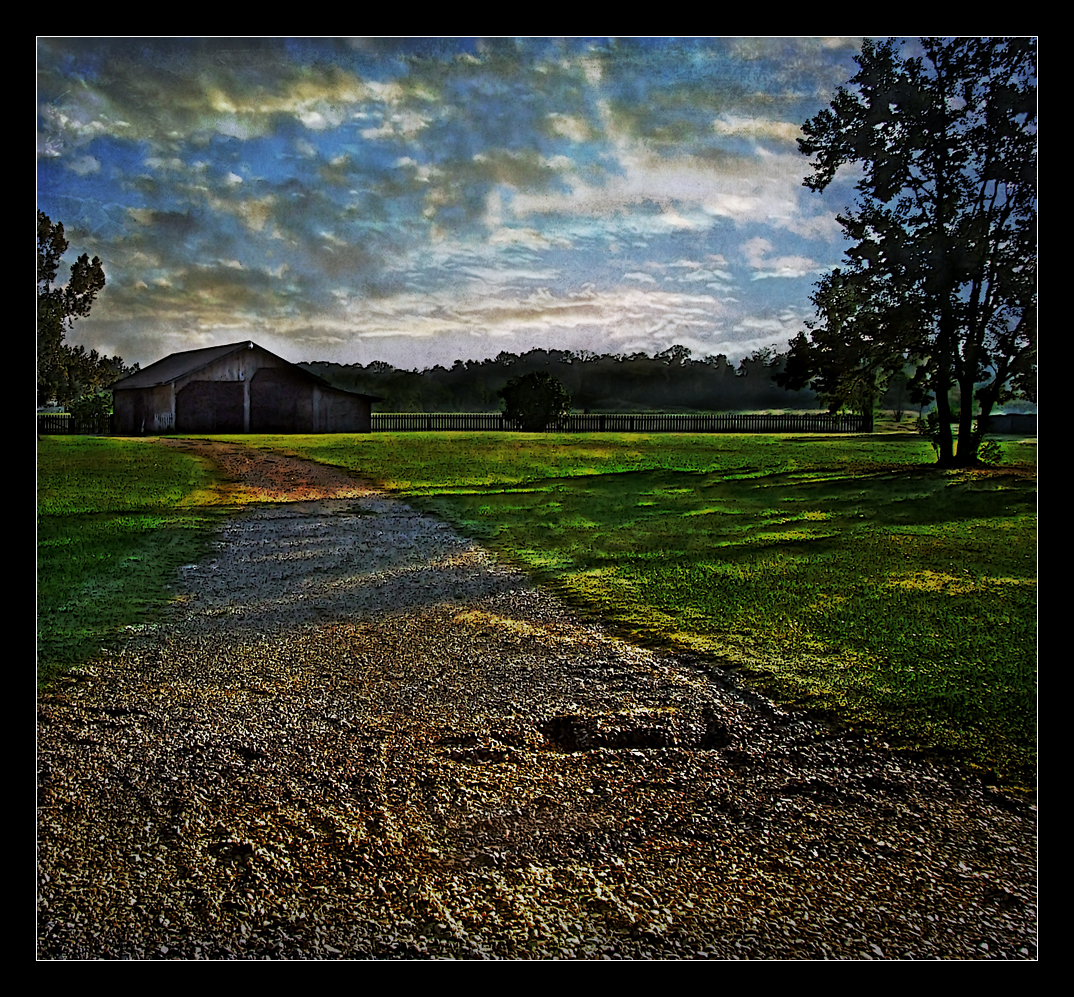
Barn Yard

Icy Blue

Louisiana Gumbo
Country Living

Landscaped!

Landscape on the right

Landscape on the left

Dirty Boy

The Botanist

Tranquility Rd., St. Helena Parish

Thornton Rd.

Camp Joy Rd.
Thornton Rd.
IMG_0644 new landfill temporary denham springs

IMG_0709 new layer walker landfill

Tickfaw River Holden, LA

Tickfaw River Holden, LA
Topographic Map of N Corbin Rd, Walker, LA, USA
Find elevation by address:

Places near N Corbin Rd, Walker, LA, USA:
1, LA, USA
33955 Galloway Rd
13901 Friendship Rd
34932 J W Hall Rd
19100 Ligo Rd
32290 Bradley St
13755 Courtney Rd
13755 Courtney Rd
13213 Fowler Dr
13213 Fowler Dr
15380 E Ridge Dr
Equestrian Estates
Thoroughbred Lane
14143 Kaden Creek Dr
14143 Kaden Creek Dr
34339 Quarter Horse Ln
16725 Blount Ln
16725 Blount Ln
16725 Blount Ln
Seminole Road
Recent Searches:
- Elevation of Leguwa, Nepal
- Elevation of County Rd, Enterprise, AL, USA
- Elevation of Kolchuginsky District, Vladimir Oblast, Russia
- Elevation of Shustino, Vladimir Oblast, Russia
- Elevation of Lampiasi St, Sarasota, FL, USA
- Elevation of Elwyn Dr, Roanoke Rapids, NC, USA
- Elevation of Congressional Dr, Stevensville, MD, USA
- Elevation of Bellview Rd, McLean, VA, USA
- Elevation of Stage Island Rd, Chatham, MA, USA
- Elevation of Shibuya Scramble Crossing, 21 Udagawacho, Shibuya City, Tokyo -, Japan