Elevation of N Atlanta Ave, Massapequa, NY, USA
Location: United States > New York > Nassau County > Oyster Bay > North Massapequa >
Longitude: -73.466193
Latitude: 40.70993
Elevation: 19m / 62feet
Barometric Pressure: 101KPa
Elevation Map:
Satellite Map:
Related Photos:
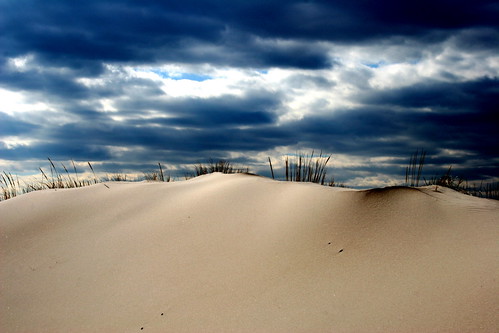
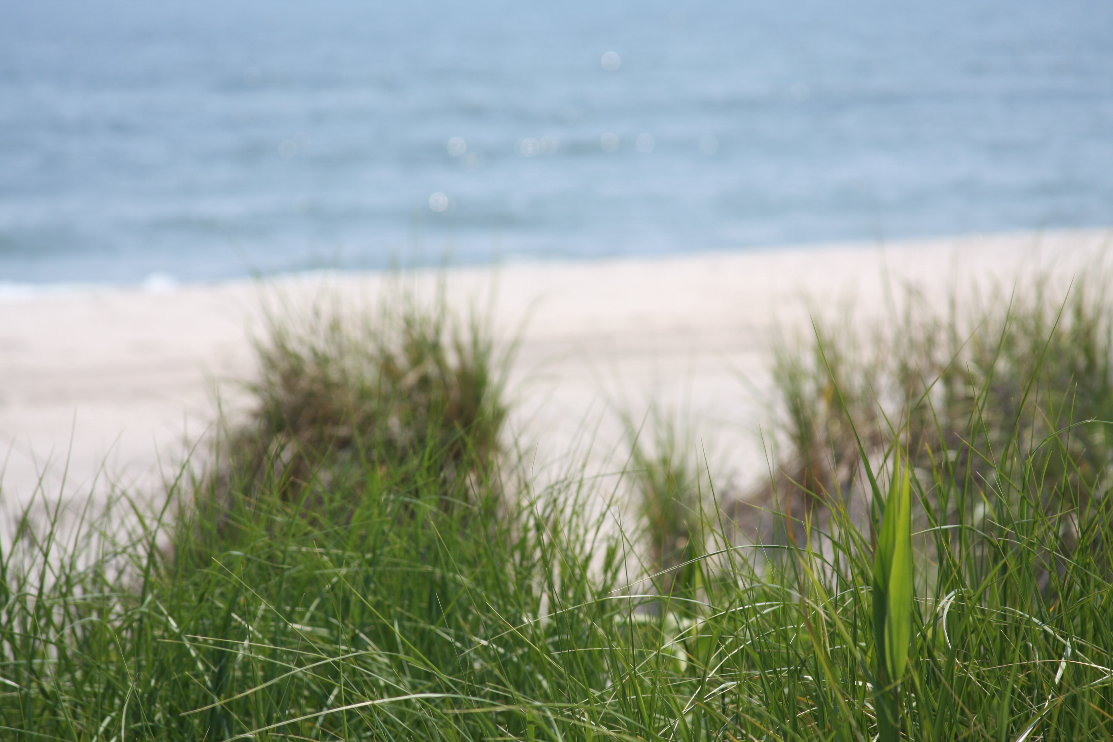
sand and sky
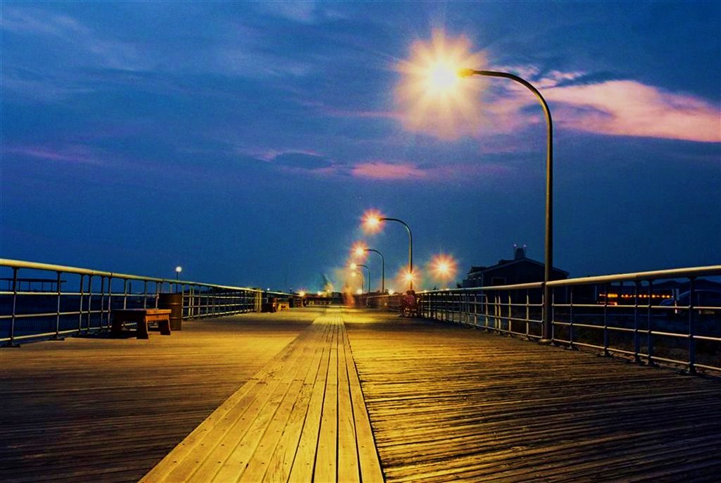
Jones Beach Boardwalk

Abandoned Farmhouse (Huntington)

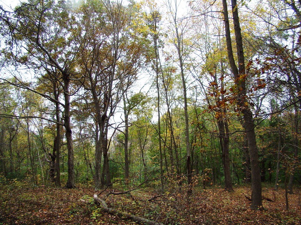
Massapequa Preserve

Jones Beach Boardwalk

Sunrise Highway

Two Lovers

Cotton Candy..

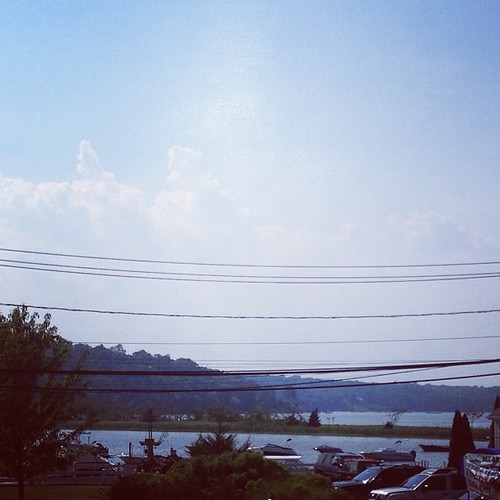
At least I get a hell of a view before work. #independenceday
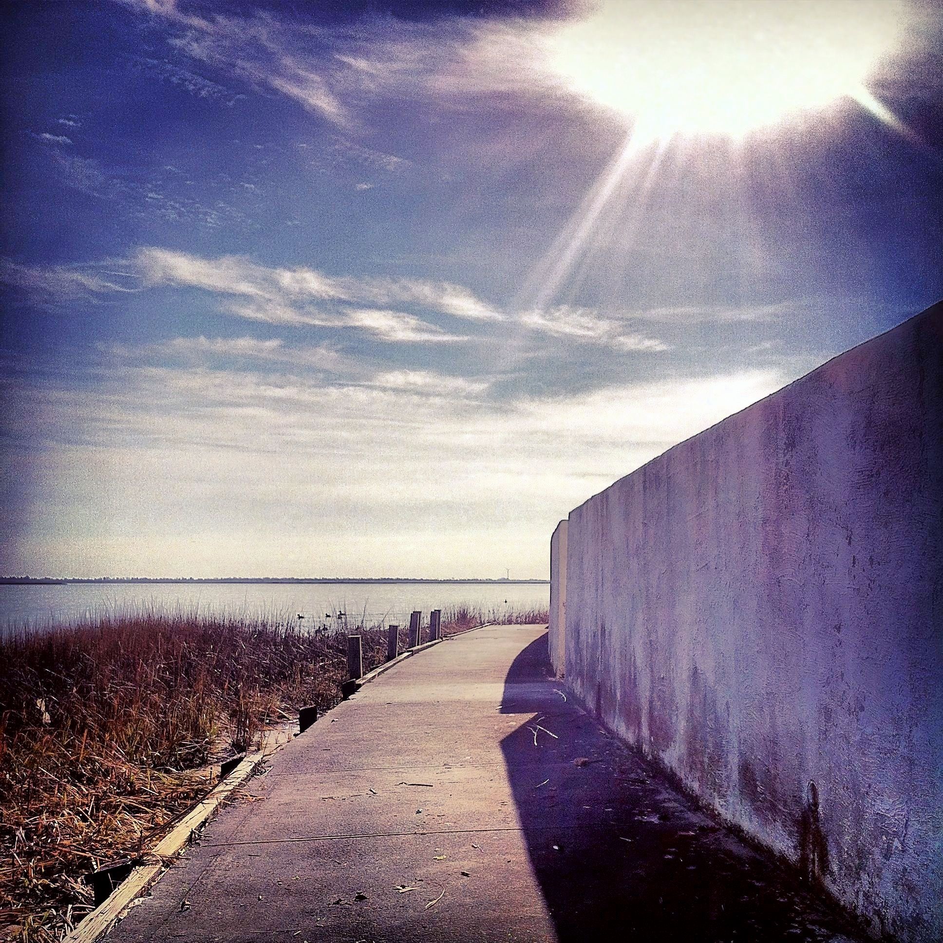
Bending path
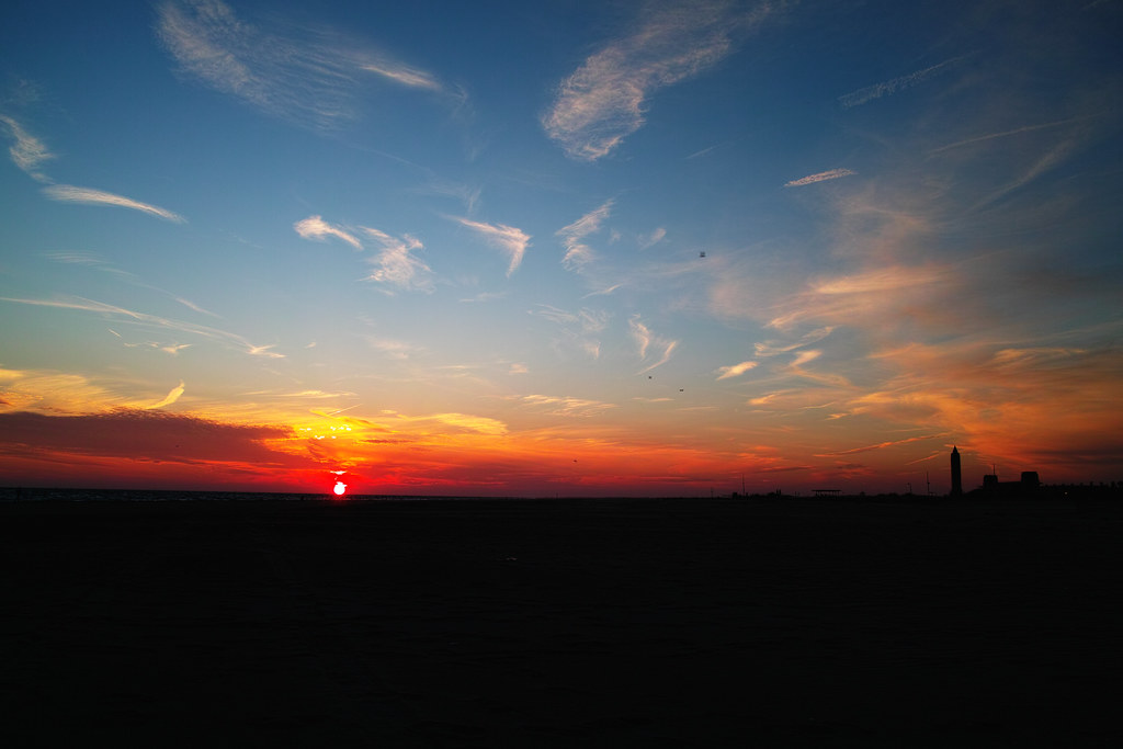
Burning for You
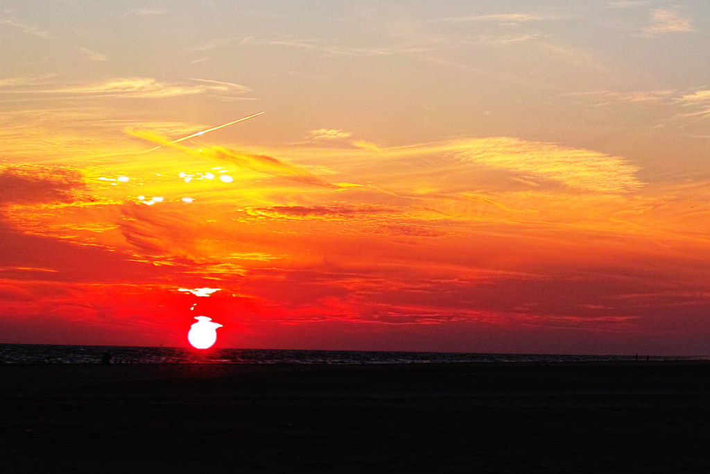
Burning for You [cropped]
View from the dunes on Tobay Beach
A beautiful sunrise over calm waters. #sunset #sunrise #sun #TFLers #pretty #beautiful #red #orange #pink #sky #skyporn #cloudporn #nature #clouds #horizon #photooftheday #instagood #gorgeous #warm #view #night #morning #silhouette #instasky #all_sunsets
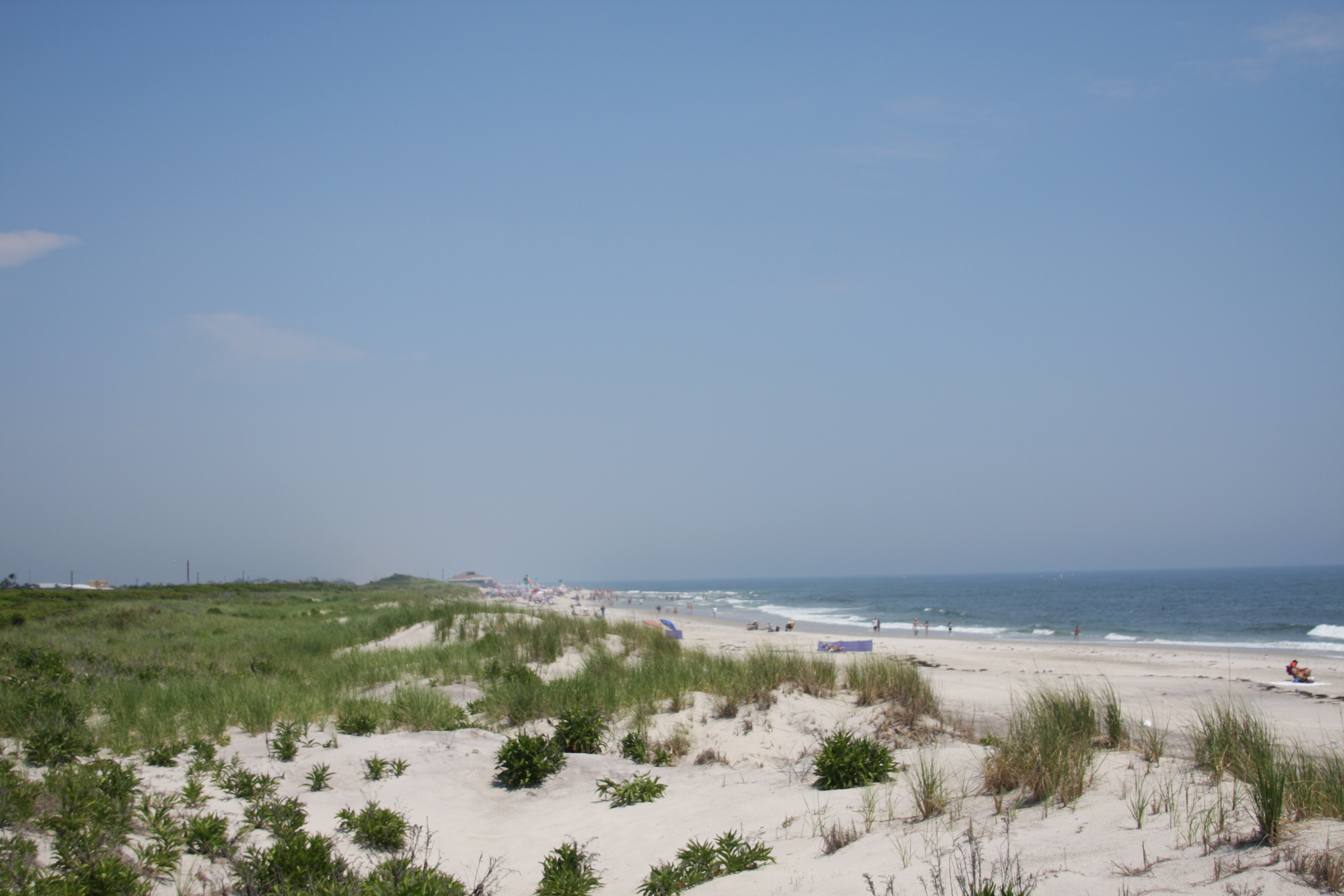
View from the dunes on Tobay Beach
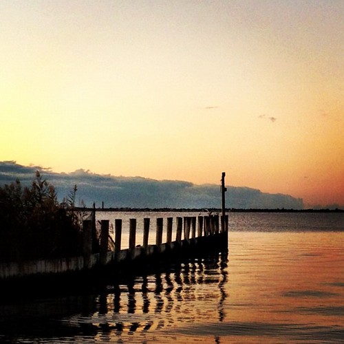
Harbor View
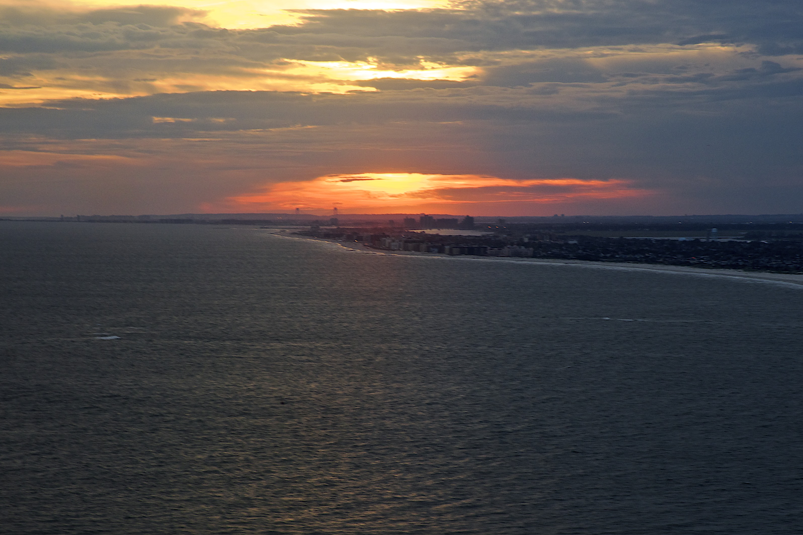
Long Island sunset

Bethpage Yellow #3 view back r
Jaynes Hill, Suffolk County, New York - Highest Forest on Long Island

sunday morning, fliittering
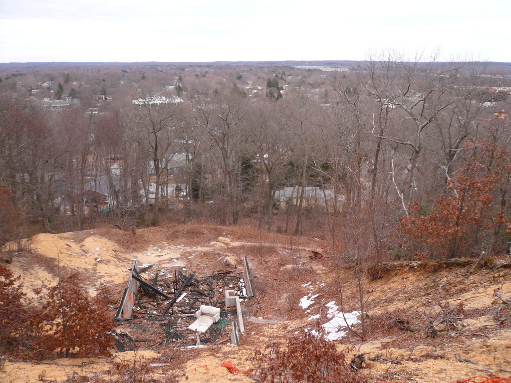
Burnt-Out Shell With a View
Topographic Map of N Atlanta Ave, Massapequa, NY, USA
Find elevation by address:

Places near N Atlanta Ave, Massapequa, NY, USA:
280 N Rutherford Ave
233 N Idaho Ave
1063 N New York Dr
2 Paul Pl
North Massapequa
187 William Rd
16 West Dr
96 N Beech St
234 N Hickory St
14 Beryl Ln
100 N Maple St
107 N Oak St
131 North Dr
15 W Walnut St
10 3rd Ave
213 Violet St
179 Thomas Powell Blvd
Main St, Farmingdale, NY, USA
South Farmingdale
9 Poplar Ave
Recent Searches:
- Elevation of Corso Fratelli Cairoli, 35, Macerata MC, Italy
- Elevation of Tallevast Rd, Sarasota, FL, USA
- Elevation of 4th St E, Sonoma, CA, USA
- Elevation of Black Hollow Rd, Pennsdale, PA, USA
- Elevation of Oakland Ave, Williamsport, PA, USA
- Elevation of Pedrógão Grande, Portugal
- Elevation of Klee Dr, Martinsburg, WV, USA
- Elevation of Via Roma, Pieranica CR, Italy
- Elevation of Tavkvetili Mountain, Georgia
- Elevation of Hartfords Bluff Cir, Mt Pleasant, SC, USA