Elevation of N 8th W, Salt Lake City, UT, USA
Location: United States > Utah > Salt Lake County > Salt Lake City > Rose Park >
Longitude: -111.91313
Latitude: 40.785044
Elevation: 1287m / 4222feet
Barometric Pressure: 87KPa
Elevation Map:
Satellite Map:
Related Photos:
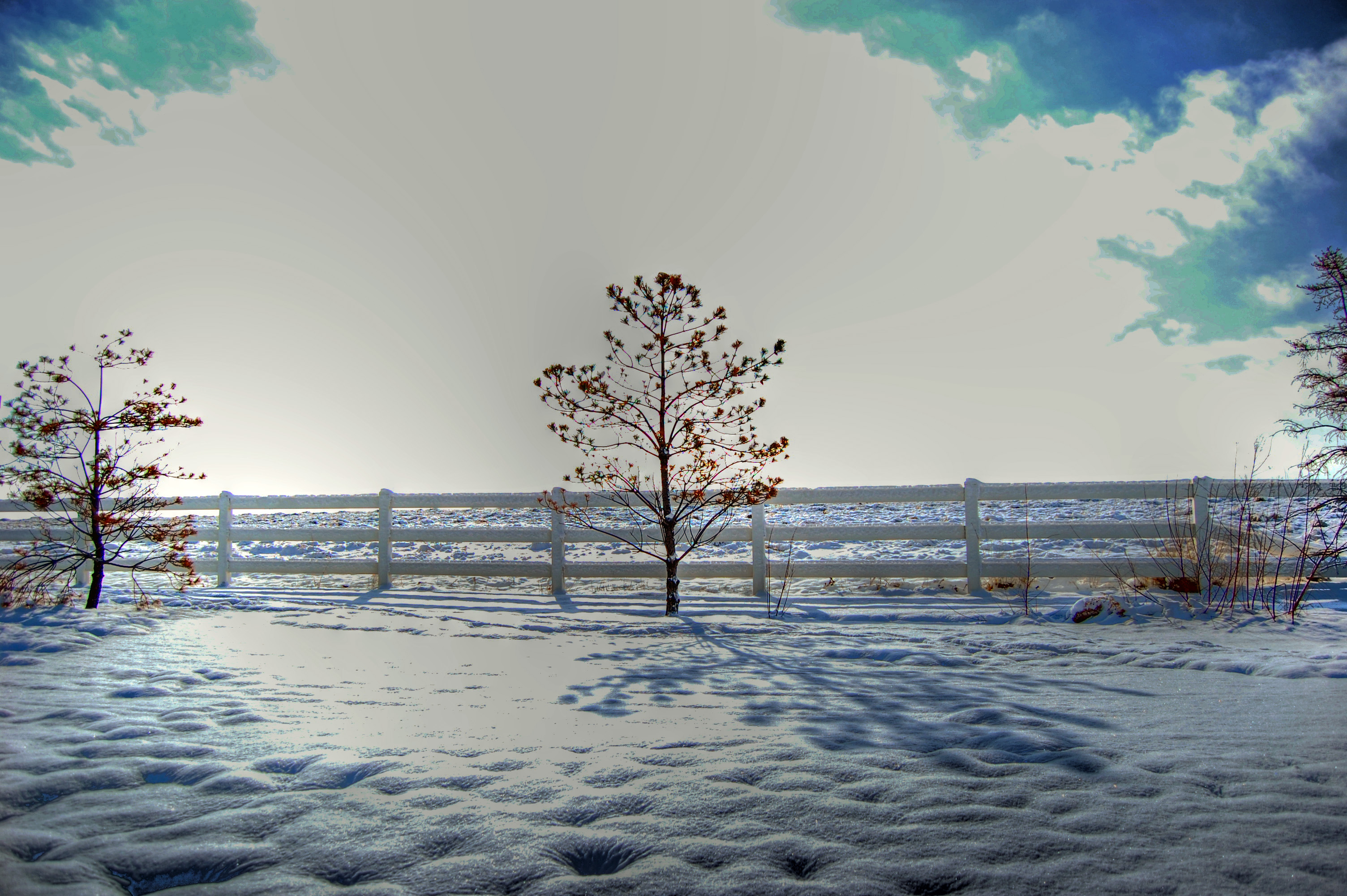
Salty Grid
Elephant Rock

Late Spring Ice Csp

Utah State Capitol at Sunset
Rushing Through Parley's Canyon

Summer Glow Girl

View from the Shore
Fire in the sky...

Elevated viewpoint

Bountiful Lake
DAY 192
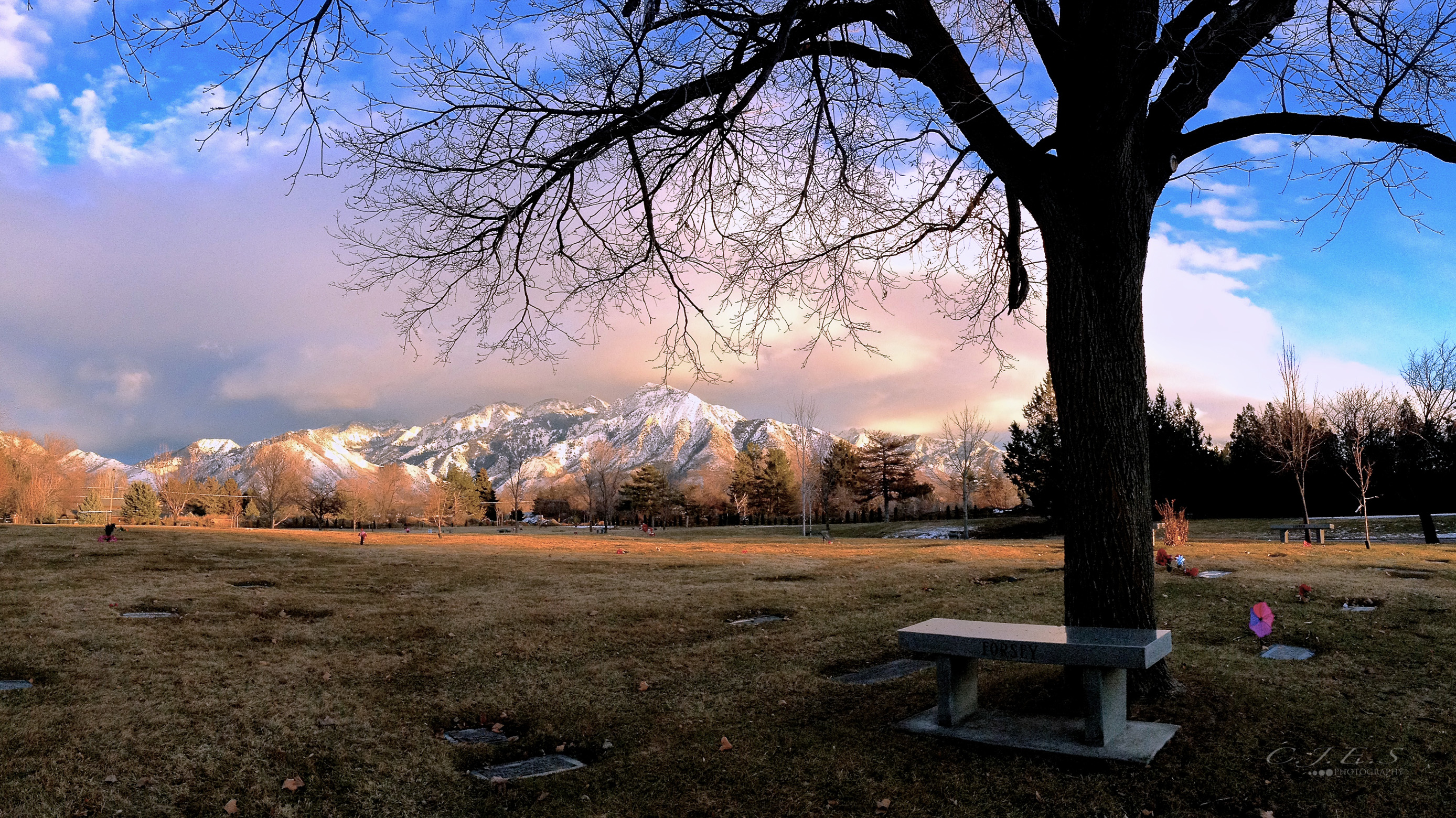
" Old Souls "

Botanical Pornography
Beautiful day in the park
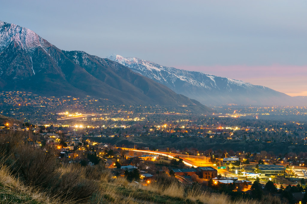
Salt Lake City, UT East Bench at Dusk

The Ground
Salt Lake City

Ensign Peak, Salt Lake City, UT
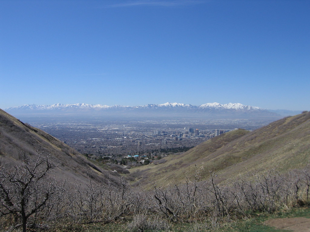
#wasatch #mountains #slc and the #saltlakevalley from #mtwire

Golf is back on!
A Far Off Veiw of Kennecott
Topographic Map of N 8th W, Salt Lake City, UT, USA
Find elevation by address:

Places near N 8th W, Salt Lake City, UT, USA:
Rose Park Elementary School
237 Fern Ave N
640 W Capitol St
910 Sandhurst Dr
605 Columbus St E
Rose Park
Ensign Peak
719 E Capitol Blvd
190 N Sandrun Rd
1101 Oak Forest Rd
1043 E Capitol Blvd
Mojave Dr, Salt Lake City, UT, USA
1822 Mojave Dr
588 D St E
524 E St E
416 E 11th Ave
14th Avenue
503 E 13th Ave
524 E North Hills Dr
555 Northmont Way
Recent Searches:
- Elevation of Corso Fratelli Cairoli, 35, Macerata MC, Italy
- Elevation of Tallevast Rd, Sarasota, FL, USA
- Elevation of 4th St E, Sonoma, CA, USA
- Elevation of Black Hollow Rd, Pennsdale, PA, USA
- Elevation of Oakland Ave, Williamsport, PA, USA
- Elevation of Pedrógão Grande, Portugal
- Elevation of Klee Dr, Martinsburg, WV, USA
- Elevation of Via Roma, Pieranica CR, Italy
- Elevation of Tavkvetili Mountain, Georgia
- Elevation of Hartfords Bluff Cir, Mt Pleasant, SC, USA