Elevation of Myricks Rd, Eatonton, GA, USA
Location: United States > Georgia > Putnam County > Eatonton >
Longitude: -83.336652
Latitude: 33.177616
Elevation: 121m / 397feet
Barometric Pressure: 100KPa
Elevation Map:
Satellite Map:
Related Photos:
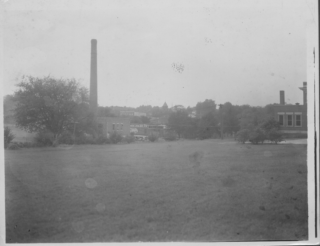
Campus Viewed from East
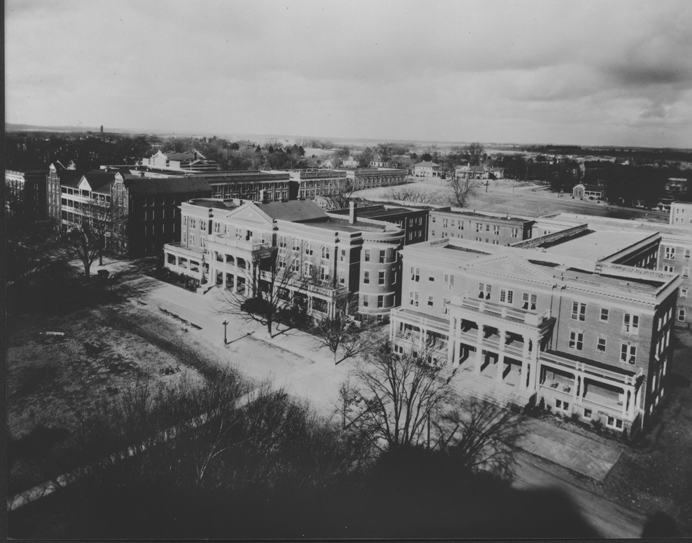
Aerial View of Campus
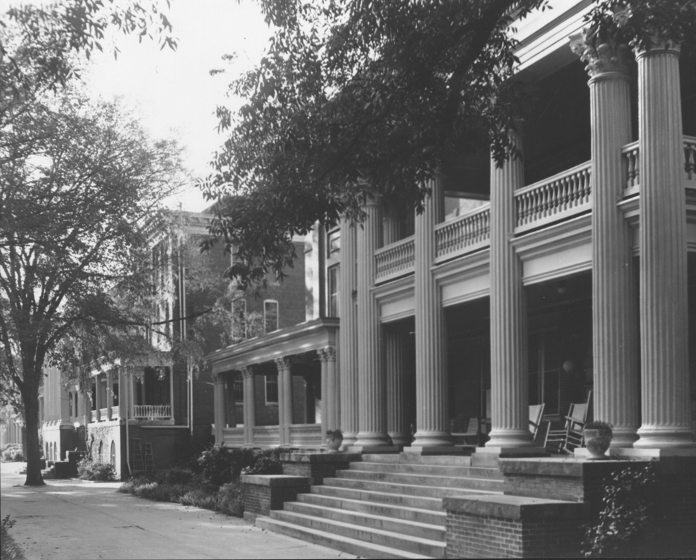
Campus View Looking Towards Porter Hall
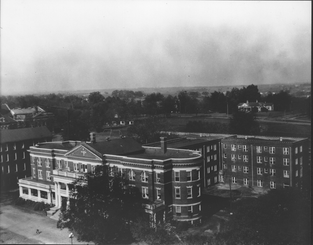
Aerial View of Terrell Hall
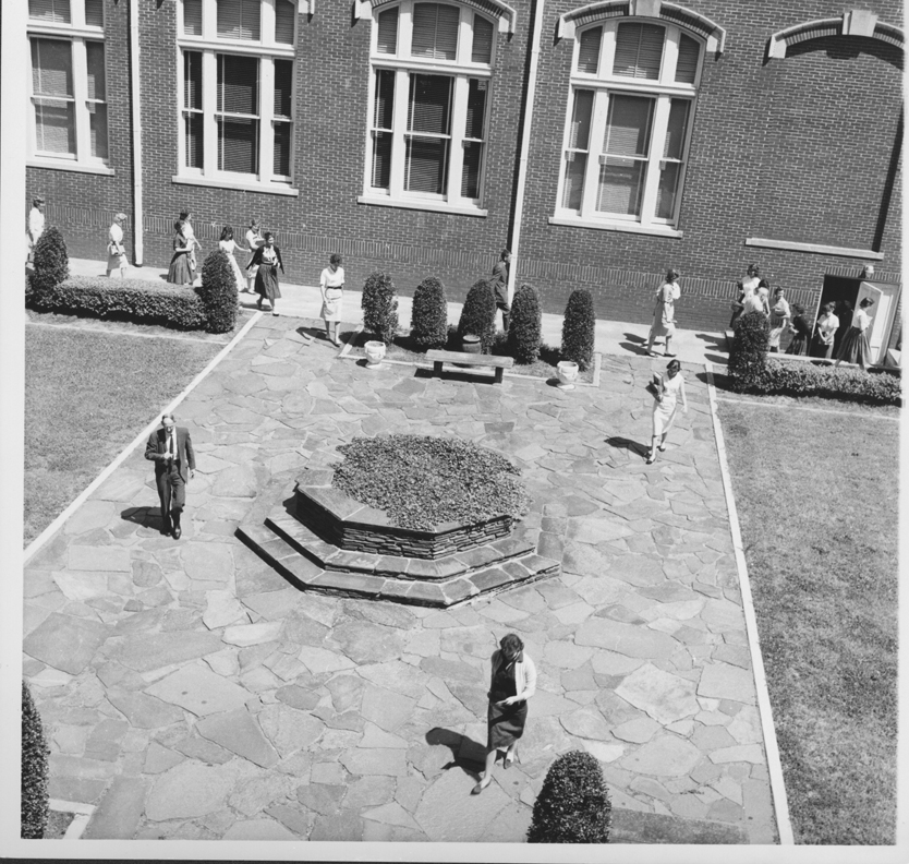
Aerial View of the Formal Gardens

Accident at Friendly Gus

day 6 365 days Hipstamatic
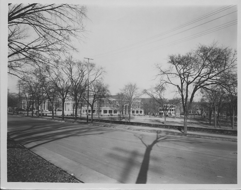
Campus View Looking South

Grimm!

Alien station

Leaving on a jet plane day 24

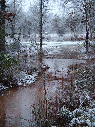
Wild Onions ~ fog n rain

State Dairy Farm Road

view from the sink

04/09/2008
ped x
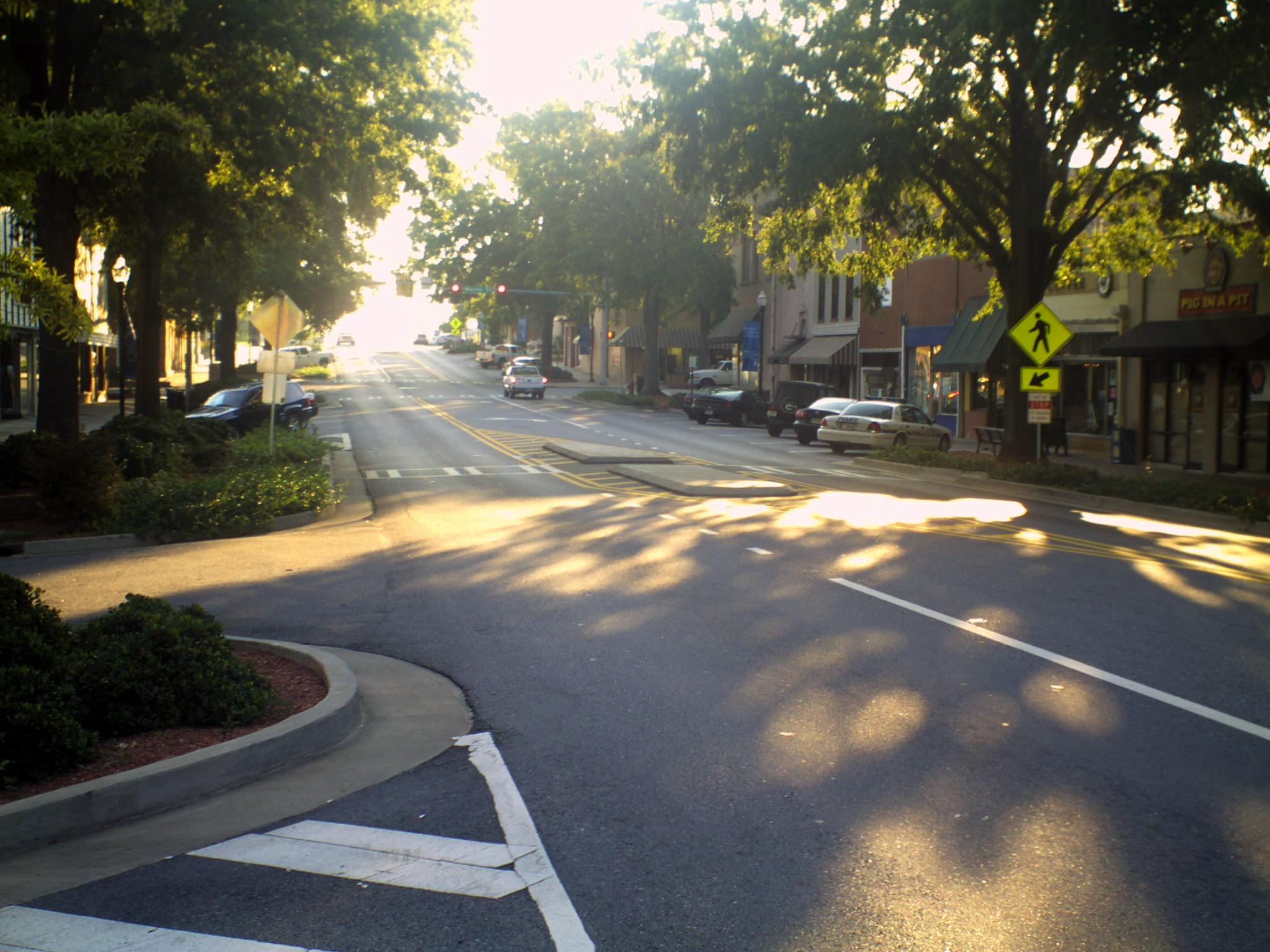
Wayne St.

around town

Health Sciences Building

admission : waiting

Eartha's deer
Lake Sinclair Campground, Oconee National Forrest, Middle GA

Bonner Park

Washington and Jefferson

Purple Clouds

Memorial Day, Blessings to those who have served.
What an absolutely gorgeous day!!

Lake Sinclair Sunset

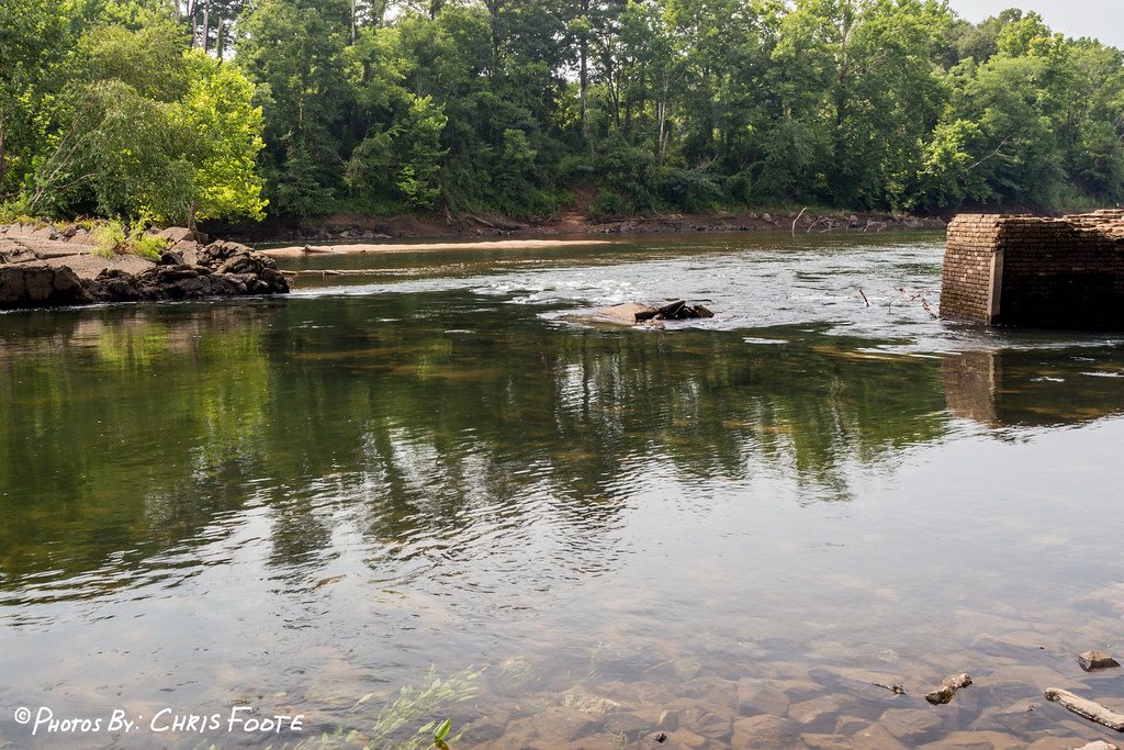
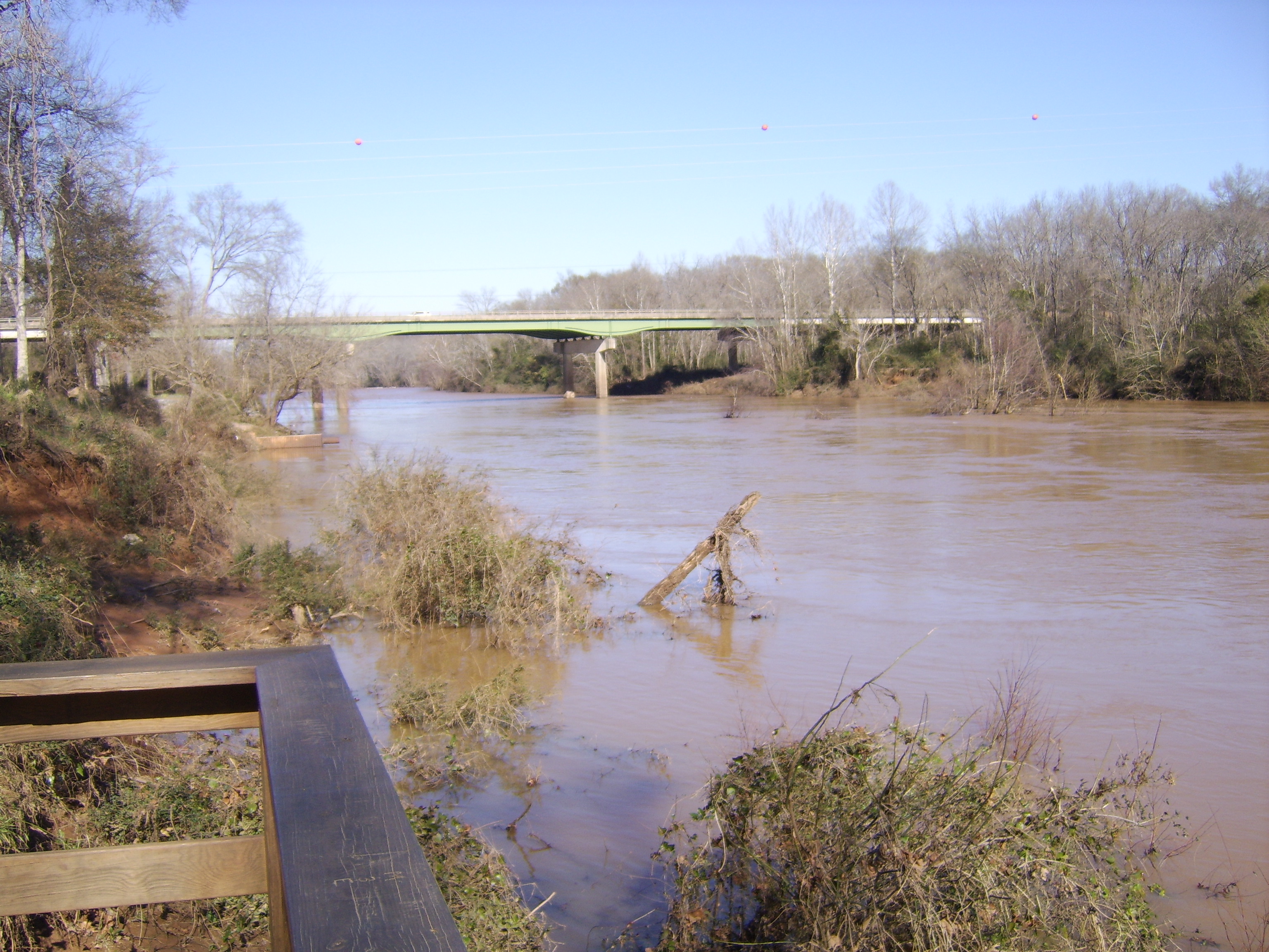
Oconee River

Lake Sinclair Sunset

Central State Hospital's Cedar Lane Cemetery, Hardwick, GA
Afternoon Fire

From the Oconee River Greenway.

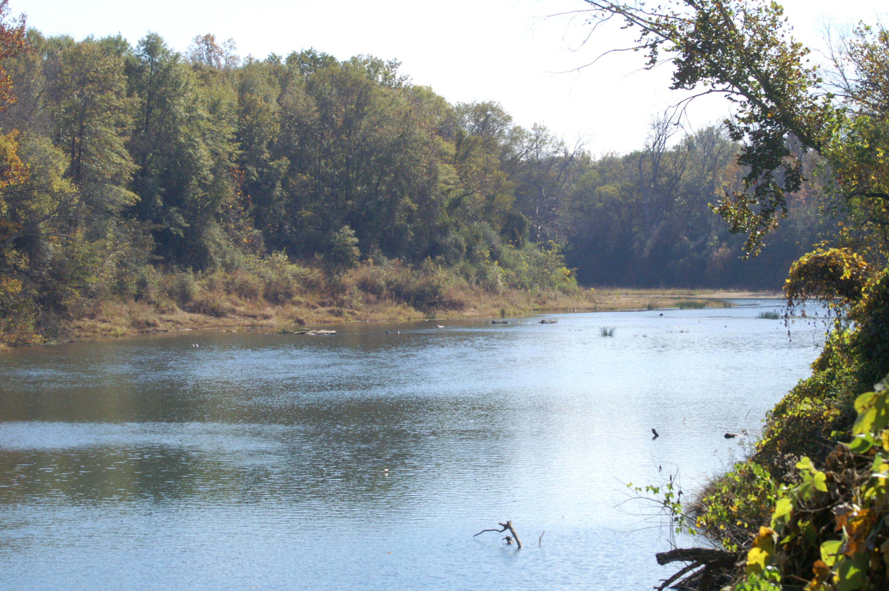
Oconee River, Milledgeville, GA

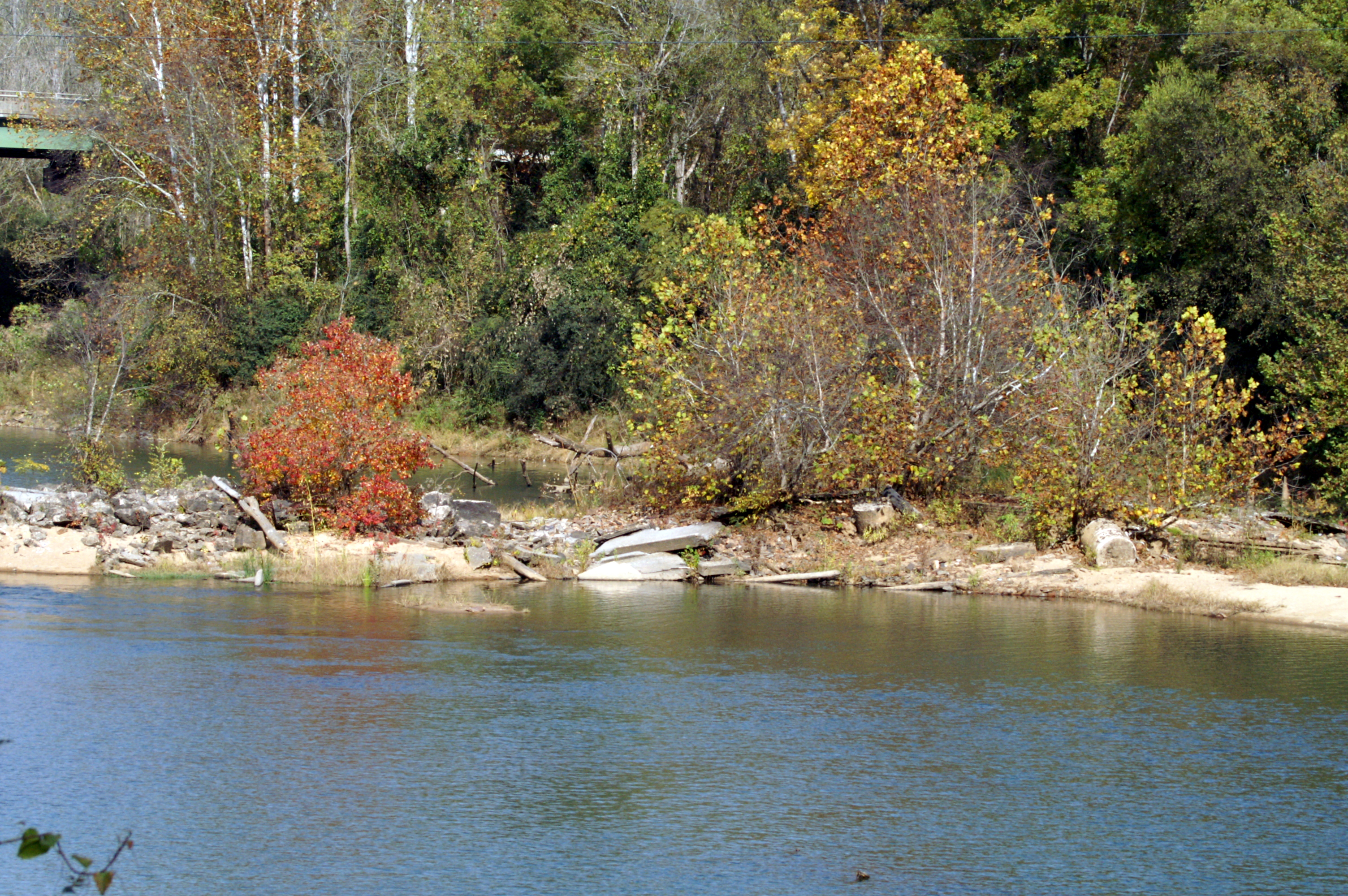
Oconee River, Milledgeville, GA
Fading Distant Lights
Oconee River
River Walk
Kodak Moment of Fail
River Walk
Green way, Milledgeville, GA
Topographic Map of Myricks Rd, Eatonton, GA, USA
Find elevation by address:

Places near Myricks Rd, Eatonton, GA, USA:
Meriwether Ln NW, Milledgeville, GA, USA
Montego Court East
107 Old Plantation Trail Nw
Twin Bridges Rd SW, Eatonton, GA, USA
Twin Bridges Road Southwest
210 Parham Rd Nw
523 Dennis Station Rd Sw
126 Cedar Point Rd Nw
Lake Sinclair
139 O'connor Dr Nw
Sinclair Marina Road
Log Cabin Road Northeast
117 W Lakeview Dr
Venture Trail
Venture Trail
Gray Rd SW, Eatonton, GA, USA
253 Clubhouse Rd
Horace Veal Rd NW, Milledgeville, GA, USA
Fraley Ferry Drive
624 Browns Crossing Rd Nw
Recent Searches:
- Elevation of Corso Fratelli Cairoli, 35, Macerata MC, Italy
- Elevation of Tallevast Rd, Sarasota, FL, USA
- Elevation of 4th St E, Sonoma, CA, USA
- Elevation of Black Hollow Rd, Pennsdale, PA, USA
- Elevation of Oakland Ave, Williamsport, PA, USA
- Elevation of Pedrógão Grande, Portugal
- Elevation of Klee Dr, Martinsburg, WV, USA
- Elevation of Via Roma, Pieranica CR, Italy
- Elevation of Tavkvetili Mountain, Georgia
- Elevation of Hartfords Bluff Cir, Mt Pleasant, SC, USA