Elevation of Mutakeshwar, Maharashtra, India
Location: India > Maharashtra > Kolhapur >
Longitude: 74.0189955
Latitude: 16.6991123
Elevation: 556m / 1824feet
Barometric Pressure: 95KPa
Elevation Map:
Satellite Map:
Related Photos:

Lush and Green

Jai Shivaji Jai Bhavani #chhatrapati #Shivaji #kolhapur #kolhapurdiaries #travel
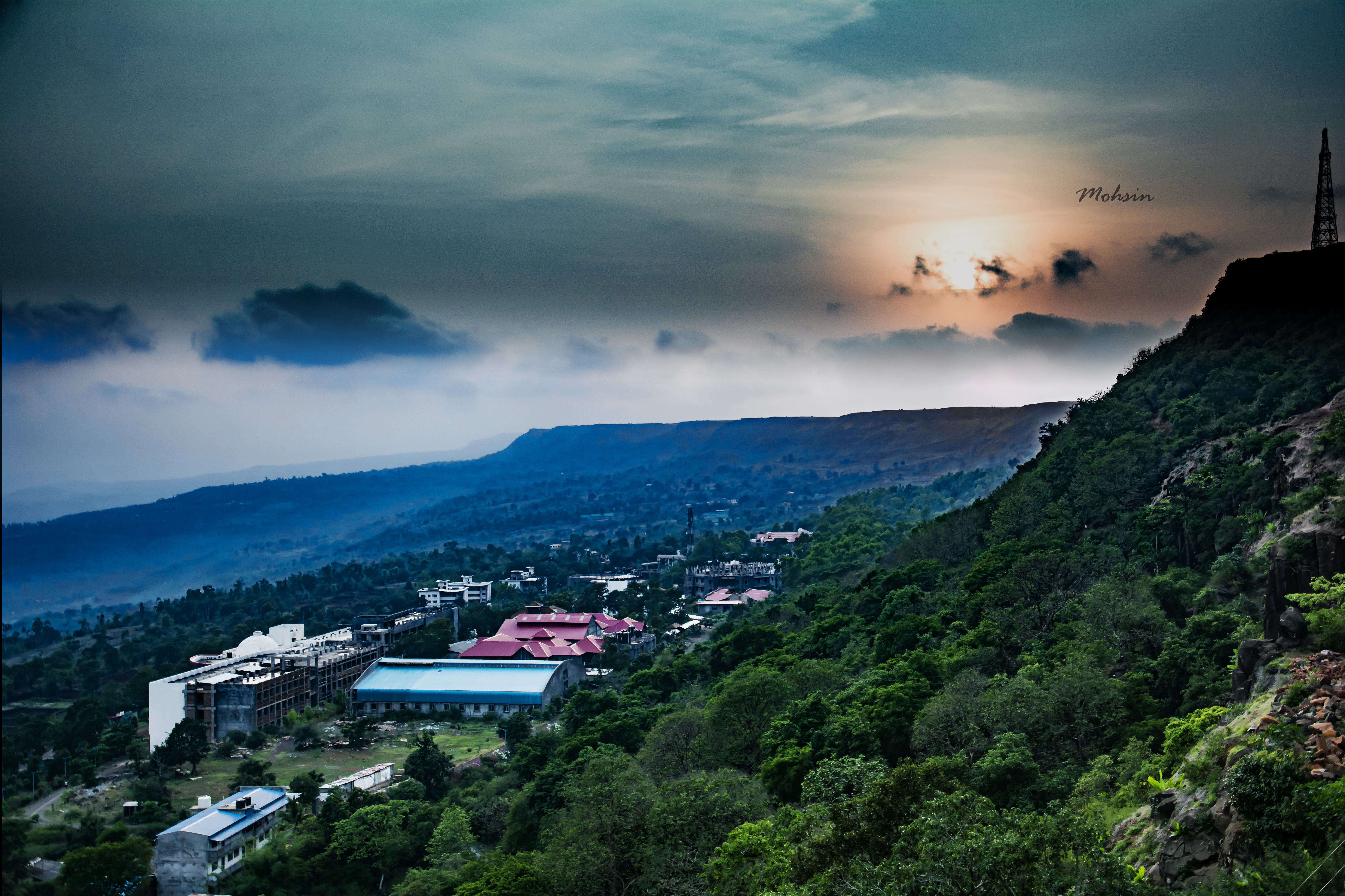
Sunset Point
Who knows the real #history?

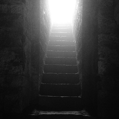
Extra Sharp
Topographic Map of Mutakeshwar, Maharashtra, India
Find elevation by address:

Places near Mutakeshwar, Maharashtra, India:
Longhe
Kirave
Salwan
Tisangi
Sakhari
Panutre
Nivade
Margewadi
Vidya Mandir Pachakatewadi
Pasarde
Aardewadi
Mandur
Vesarde
Khatangale
Harpavade
Sangrul
Durgulwadi
Asandoli
Amashi
Bololi
Recent Searches:
- Elevation of Crystal Cir, Birmingham, AL, USA
- Elevation of N Railroad Ave, West Palm Beach, FL, USA
- Elevation of 55 Cassick Valley Rd, Wellfleet, MA, USA
- Elevation of Ironwood Dr, Minden, NV, USA
- Elevation of 高尾山口駅, Takaomachi, Hachioji, Tokyo -, Japan
- Elevation of 15 Victory Ave, Greenville, SC, USA
- Elevation of Kota Ternate Utara, Ternate City, North Maluku, Indonesia
- Elevation of Allon St, Oceanside, NY, USA
- Elevation of Carroll Creek Rd, Custer, SD, USA
- Elevation of Lust Road, Lust Rd, Florida, USA