Elevation of Musselshell, MT, USA
Location: United States > Montana > Musselshell County >
Longitude: -108.09122
Latitude: 46.5185867
Elevation: 912m / 2992feet
Barometric Pressure: 91KPa
Elevation Map:
Satellite Map:
Related Photos:
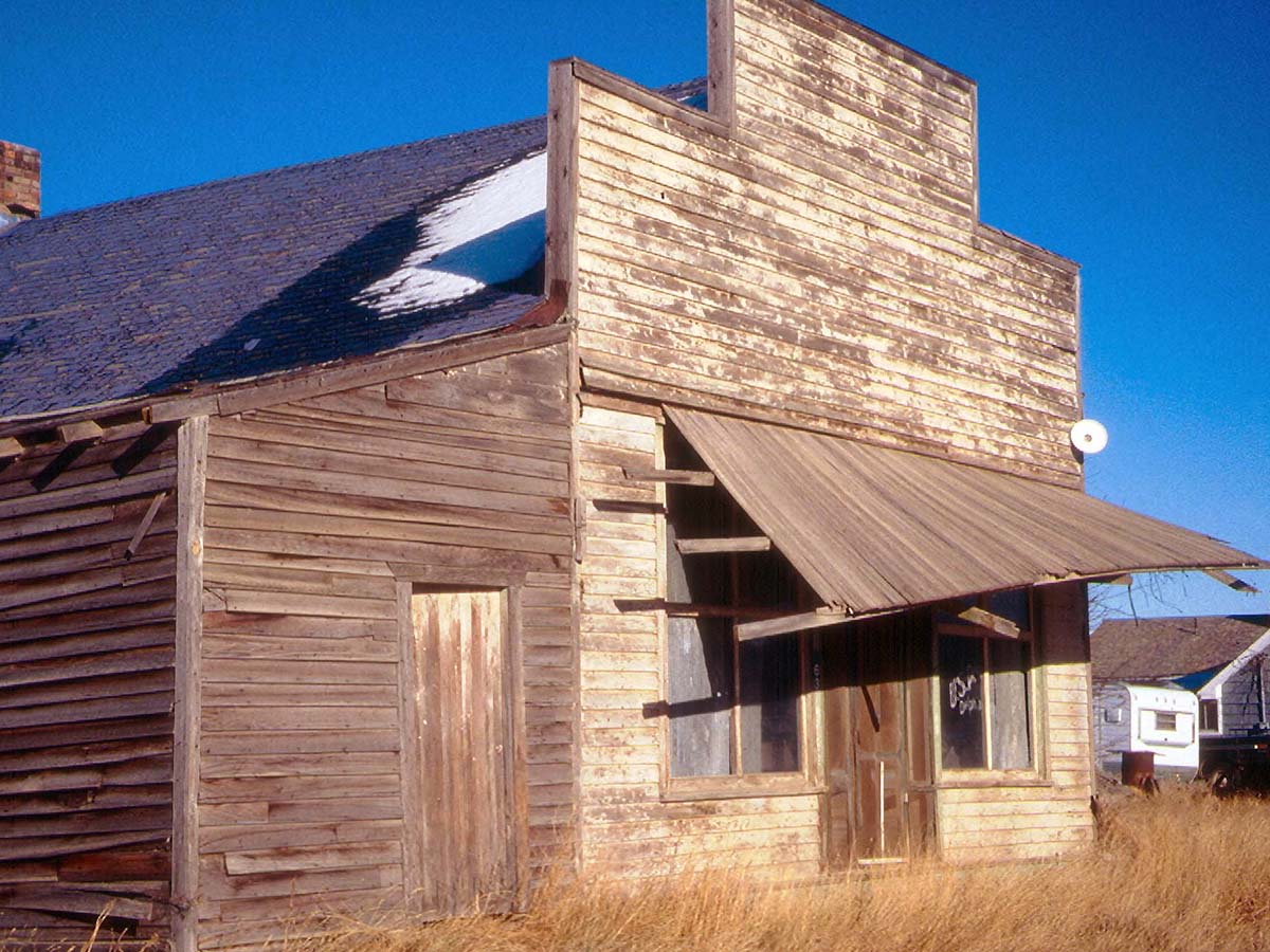
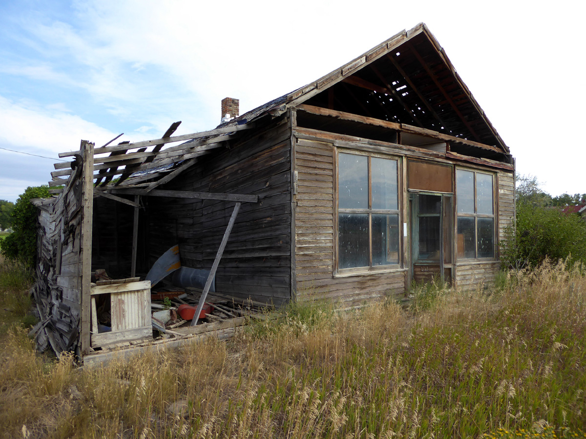
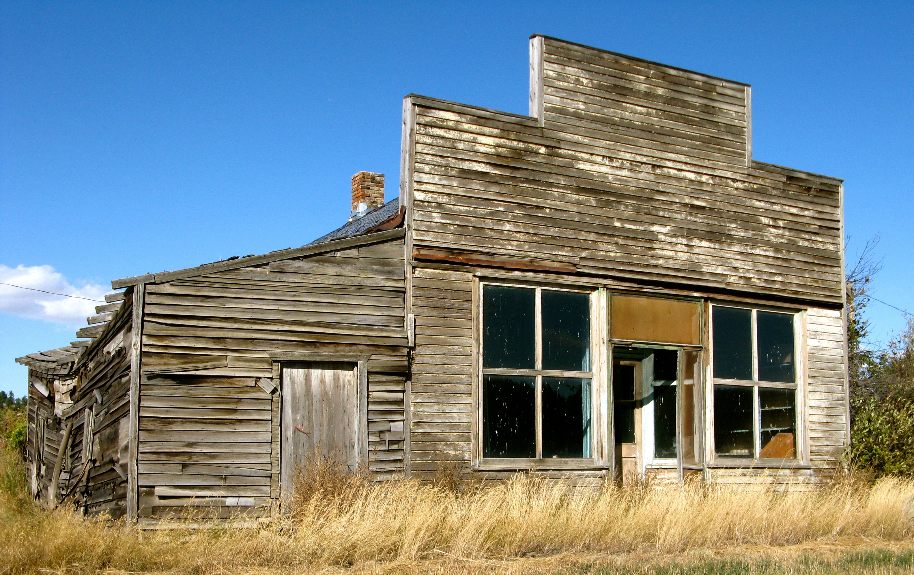
Delphia, Montana 59073
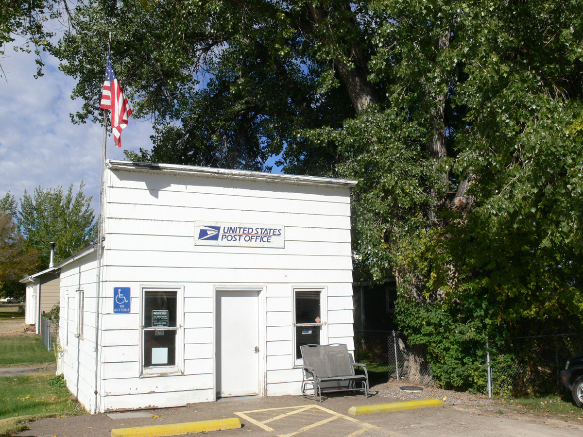
Musselshell, Montana 59059

Musselshell, Montana 59059
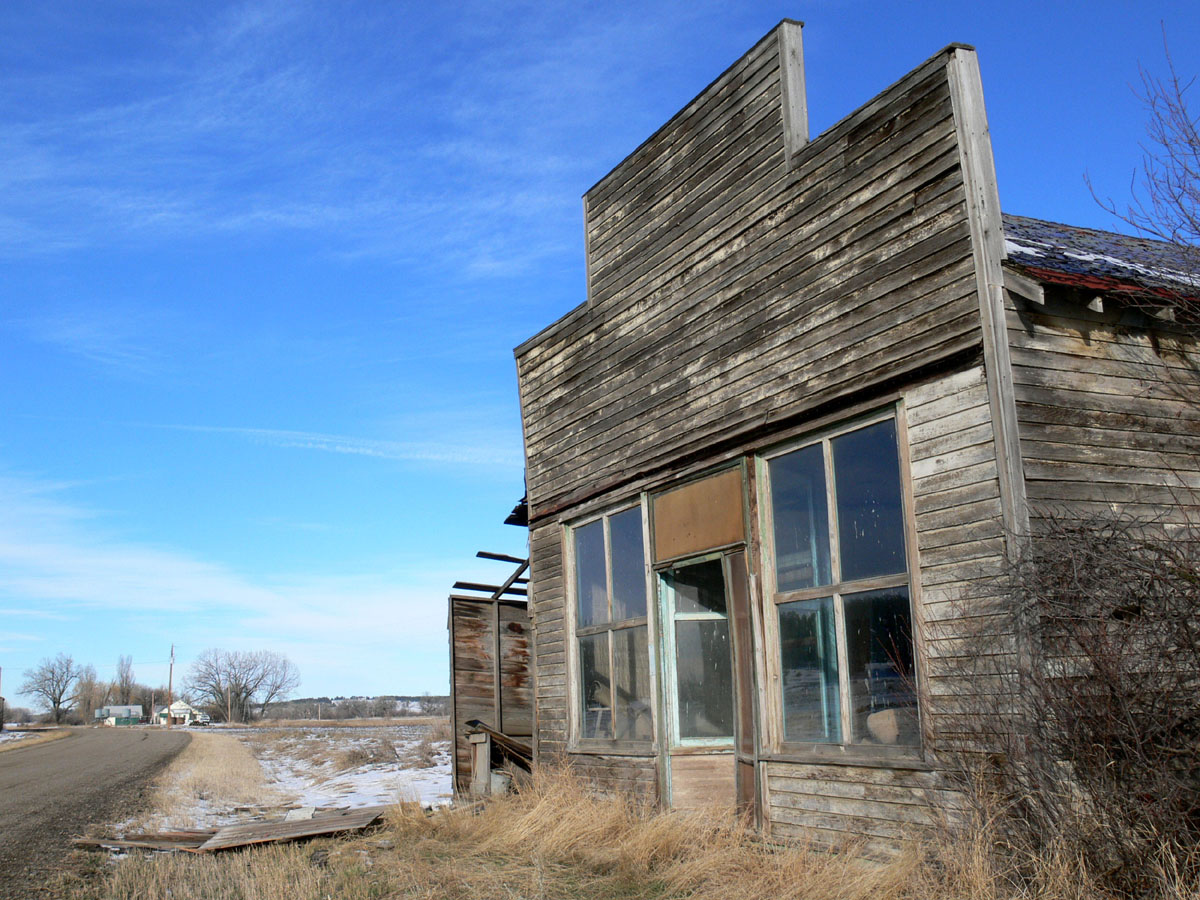
Delphia, Montana 59073

Andy Baxter, Fernando Chen, Laura Brown, and Jordan Van Der Noot fighting the North Delphia Fire east of Roundup, Montana on July 14, 2017. Photo by U.S. Forest Service/Alex Jaume.
Delphia, Montana
Delphia,Montana
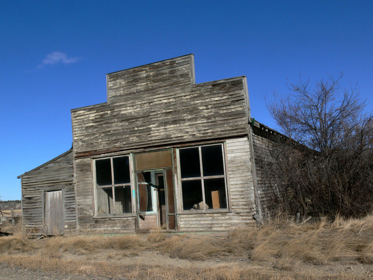
Delphia, Montana 59073
Topographic Map of Musselshell, MT, USA
Find elevation by address:

Places near Musselshell, MT, USA:
Painted Horse Trail
27 Jack Rabbit Ln
121 Painted Horse Trail
Winnett, MT, USA
Mosby
MT-, Jordan, MT, USA
Brusett Road
Garfield County
Brusett
Jordan
Recent Searches:
- Elevation of Elwyn Dr, Roanoke Rapids, NC, USA
- Elevation of Congressional Dr, Stevensville, MD, USA
- Elevation of Bellview Rd, McLean, VA, USA
- Elevation of Stage Island Rd, Chatham, MA, USA
- Elevation of Shibuya Scramble Crossing, 21 Udagawacho, Shibuya City, Tokyo -, Japan
- Elevation of Jadagoniai, Kaunas District Municipality, Lithuania
- Elevation of Pagonija rock, Kranto 7-oji g. 8"N, Kaunas, Lithuania
- Elevation of Co Rd 87, Jamestown, CO, USA
- Elevation of Tenjo, Cundinamarca, Colombia
- Elevation of Côte-des-Neiges, Montreal, QC H4A 3J6, Canada