Elevation of Muranga County, Kenya
Location: Kenya >
Longitude: 37.0400339
Latitude: -0.7839281
Elevation: 1610m / 5282feet
Barometric Pressure: 83KPa
Elevation Map:
Satellite Map:
Related Photos:

37 Kenya 1975
2012.10.31 Kiranga Youth Polytechnic
Marcus Aurelius "When you arise in...

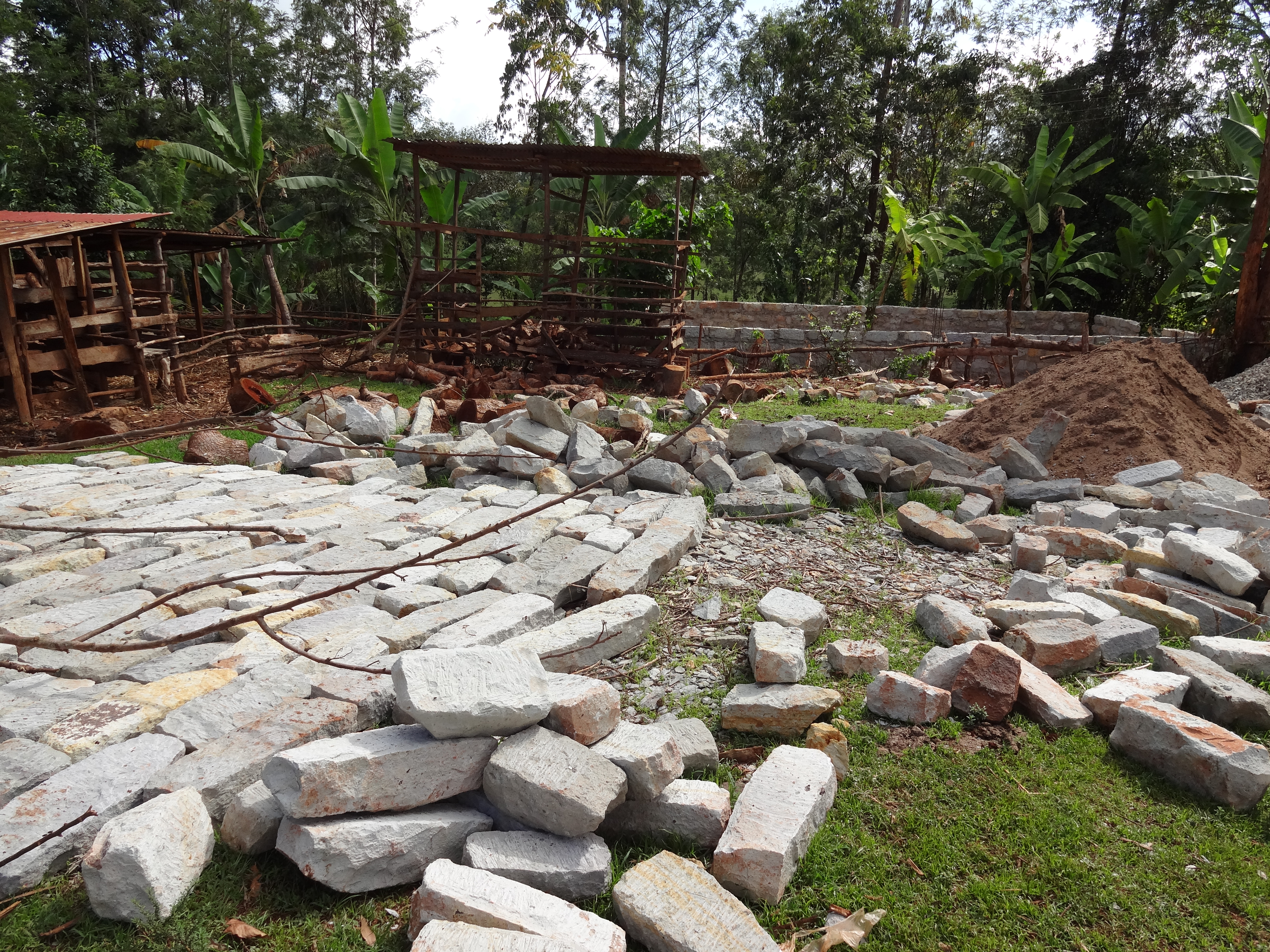
Gitugu, Murang'a
Gitugu, Murang'a

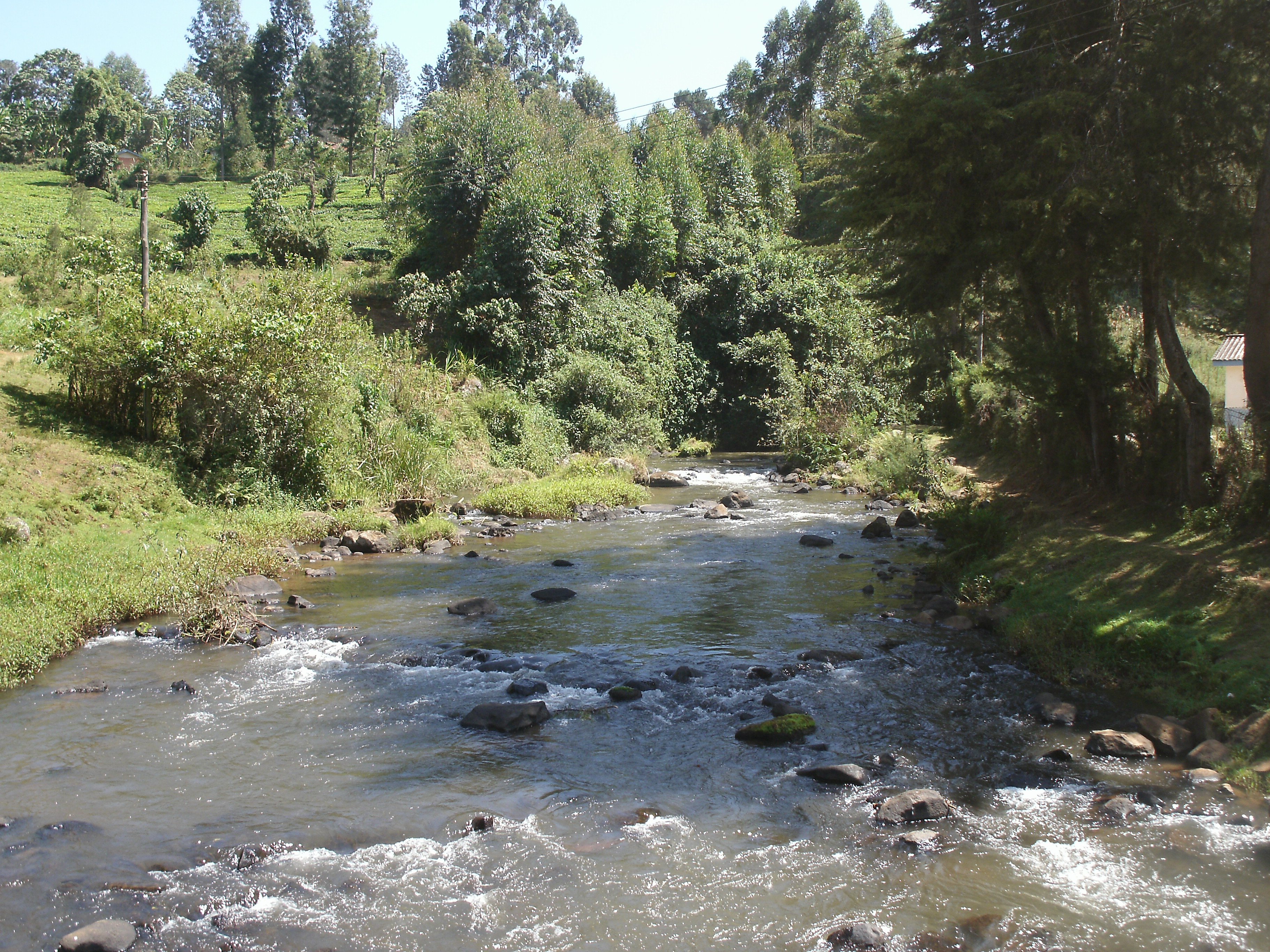
Kenya Mission, 2017
There's something unique with the African...
Topographic Map of Muranga County, Kenya
Find elevation by address:

Places in Muranga County, Kenya:
Places near Muranga County, Kenya:
Murang'a
Makuyu
Sagana
Savage Wilderness Whitewater Rafting Centre
Kieni Primary School
Kanjuku Shopping Centre
Makutano
Mpesa Foundation Academy
Thika Stadium
Thika Municipal Stadium
Thika
Gatundu
Karatina
Mathira Technical & Vocational College
Juja
Karaba
Ngandu
Nyeri
Kirinyaga County
Kangemi Shopping Center
Recent Searches:
- Elevation of Lampiasi St, Sarasota, FL, USA
- Elevation of Elwyn Dr, Roanoke Rapids, NC, USA
- Elevation of Congressional Dr, Stevensville, MD, USA
- Elevation of Bellview Rd, McLean, VA, USA
- Elevation of Stage Island Rd, Chatham, MA, USA
- Elevation of Shibuya Scramble Crossing, 21 Udagawacho, Shibuya City, Tokyo -, Japan
- Elevation of Jadagoniai, Kaunas District Municipality, Lithuania
- Elevation of Pagonija rock, Kranto 7-oji g. 8"N, Kaunas, Lithuania
- Elevation of Co Rd 87, Jamestown, CO, USA
- Elevation of Tenjo, Cundinamarca, Colombia