Elevation of Municipality of Leposavic
Location: Serbia > Kosovska Mitrovica District >
Longitude: 20.8011473
Latitude: 43.1015342
Elevation: 468m / 1535feet
Barometric Pressure: 96KPa
Elevation Map:
Satellite Map:
Related Photos:

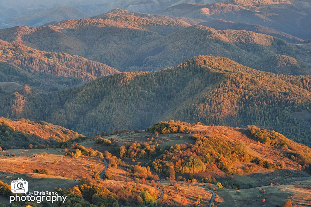
Colors of Autumn
Autumn Impression

Меденовац
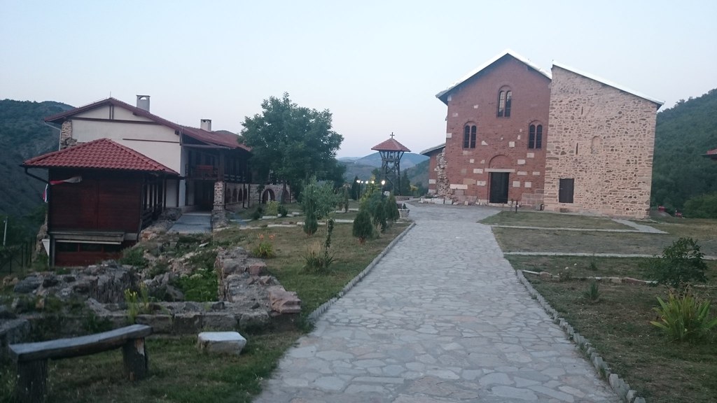
Manastir BANJSKA
Banjska monastery, Zvecan, Republic of Serbia; Манастир Бањска, Звечан, Србија
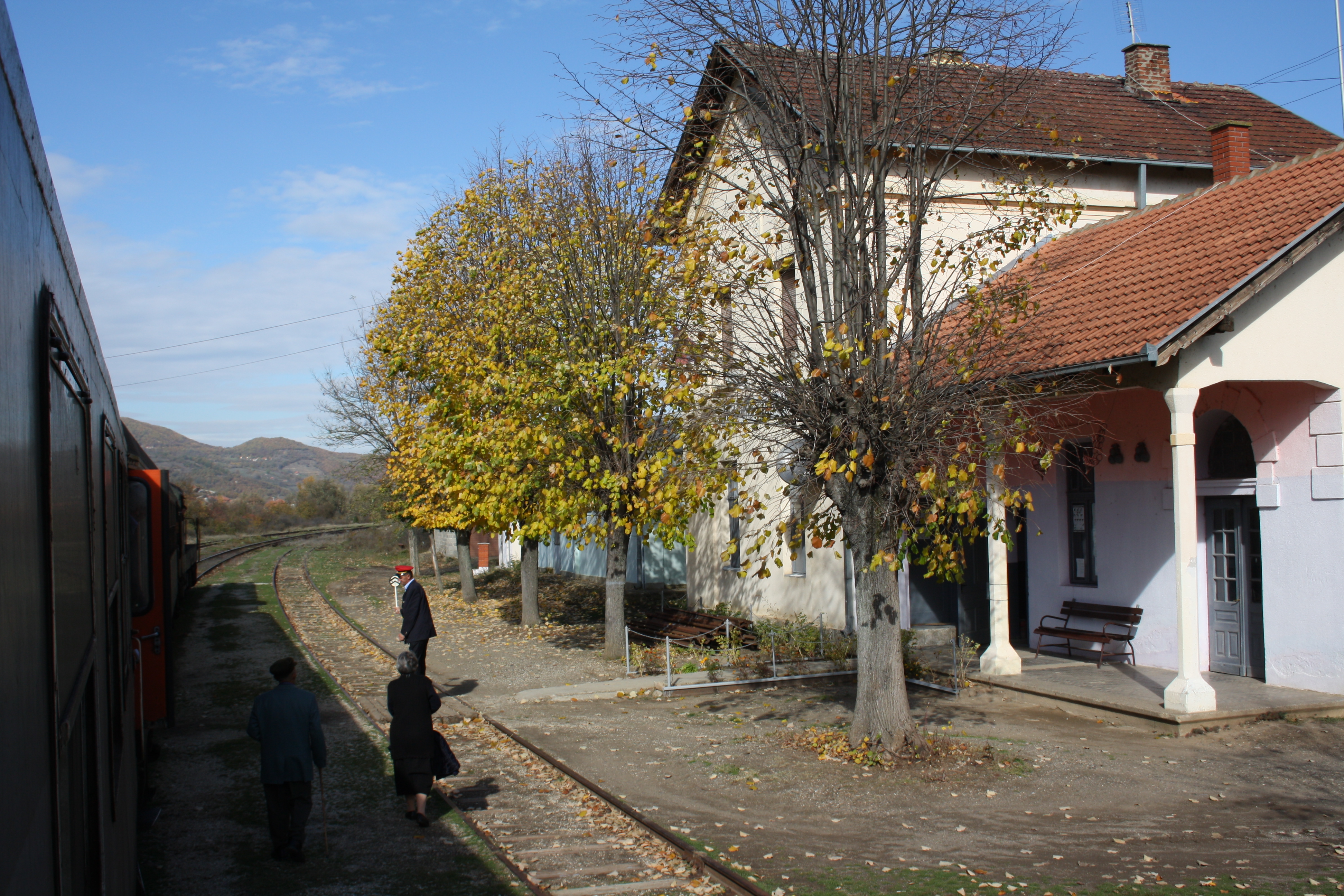
661162 leaves Ibarska Slatina on the 10:45 Zvečan to Kraljevo
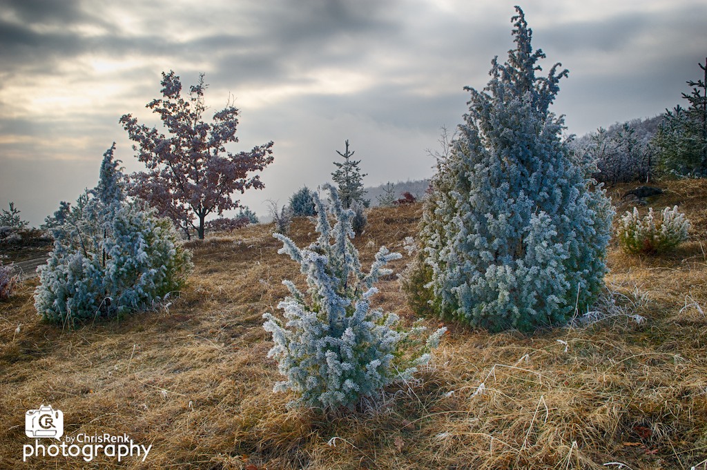
Winter World

Рогозна

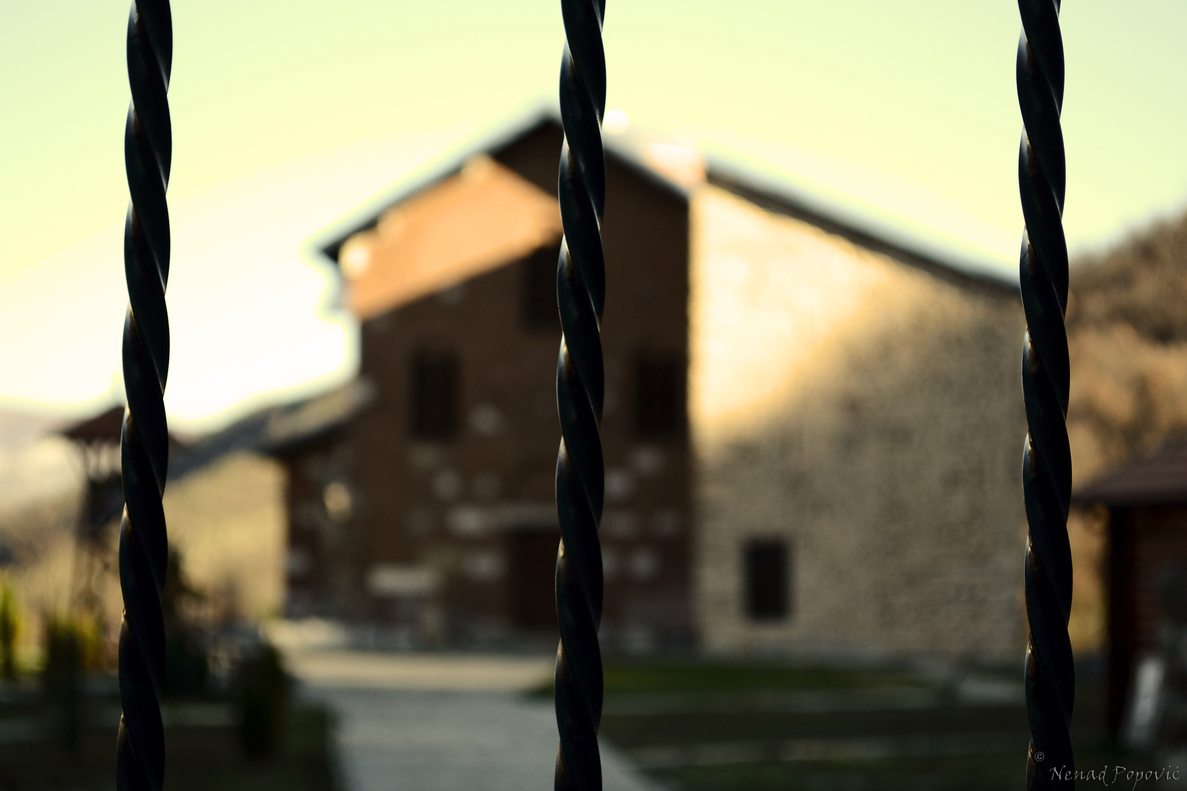
U ime Oca .....
Topographic Map of Municipality of Leposavic
Find elevation by address:

Places in Municipality of Leposavic:
Places near Municipality of Leposavic:
Leposaviq
Nemanja
Kosovska Mitrovica District
Kopaonik
Zveçan
Brzeće
North Kosovska Mitrovica
Zubin Potok
Mitrovica
Raška
Gazivoda Lake
Novi Pazar
Vučitrn
Ismail Qemali
Raška District
Stadiumi Ferki Aliu
Skenderaj
Doljani
Sopocani Monastery
Aleksandrovac
Recent Searches:
- Elevation of W Granada St, Tampa, FL, USA
- Elevation of Pykes Down, Ivybridge PL21 0BY, UK
- Elevation of Jalan Senandin, Lutong, Miri, Sarawak, Malaysia
- Elevation of Bilohirs'k
- Elevation of 30 Oak Lawn Dr, Barkhamsted, CT, USA
- Elevation of Luther Road, Luther Rd, Auburn, CA, USA
- Elevation of Unnamed Road, Respublika Severnaya Osetiya — Alaniya, Russia
- Elevation of Verkhny Fiagdon, North Ossetia–Alania Republic, Russia
- Elevation of F. Viola Hiway, San Rafael, Bulacan, Philippines
- Elevation of Herbage Dr, Gulfport, MS, USA