Elevation of Muletail Dr, Adin, CA, USA
Location: United States > California > Adin >
Longitude: -120.88737
Latitude: 41.295476
Elevation: 1419m / 4655feet
Barometric Pressure: 85KPa
Elevation Map:
Satellite Map:
Related Photos:
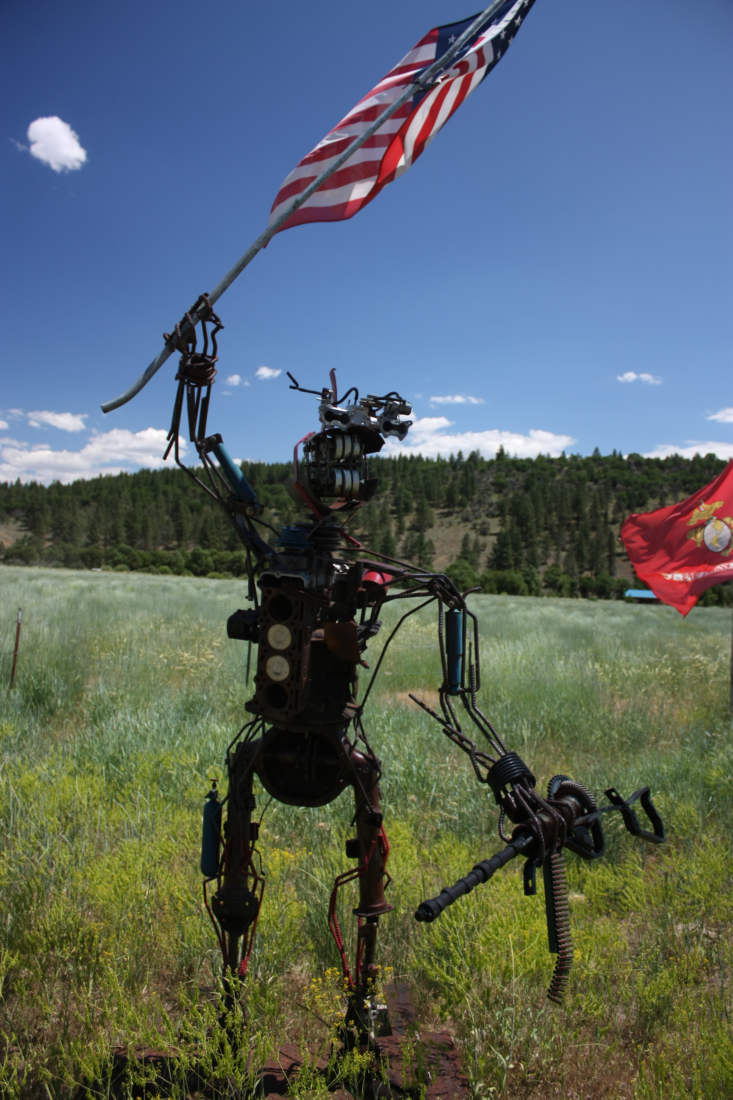
9-11 Man
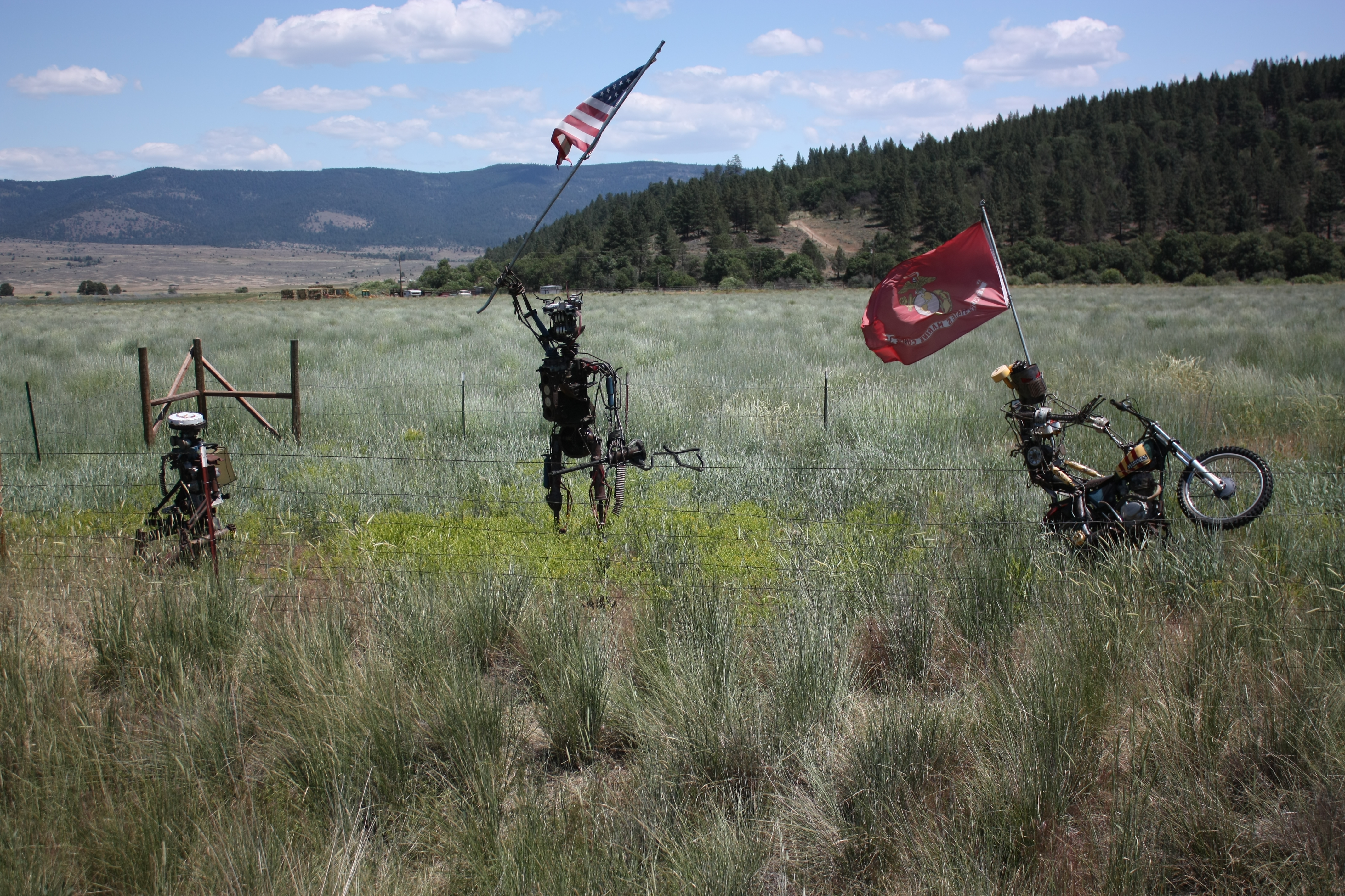
Garik the Brave, 9-11 and Nam Rider
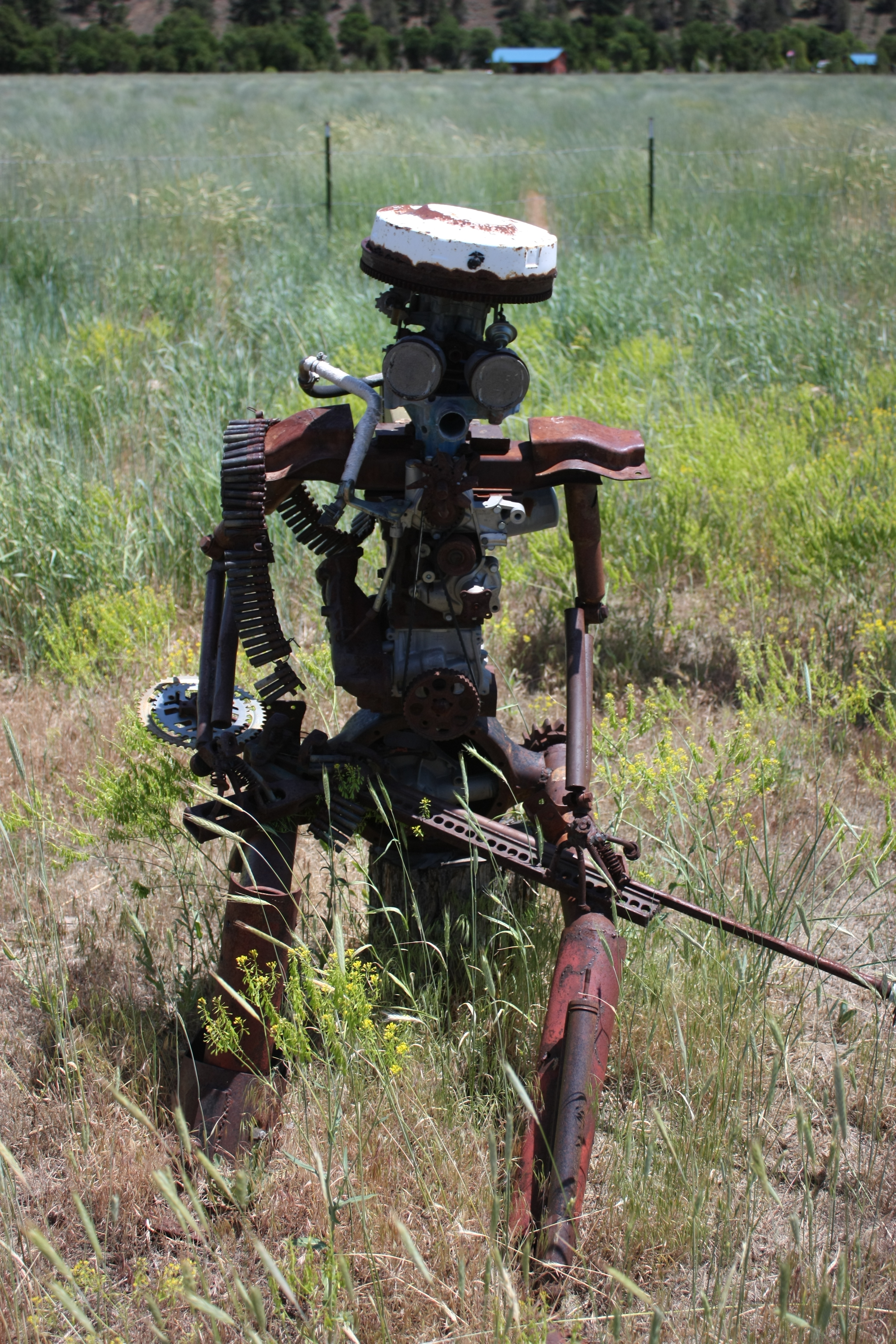
Garik the Brave
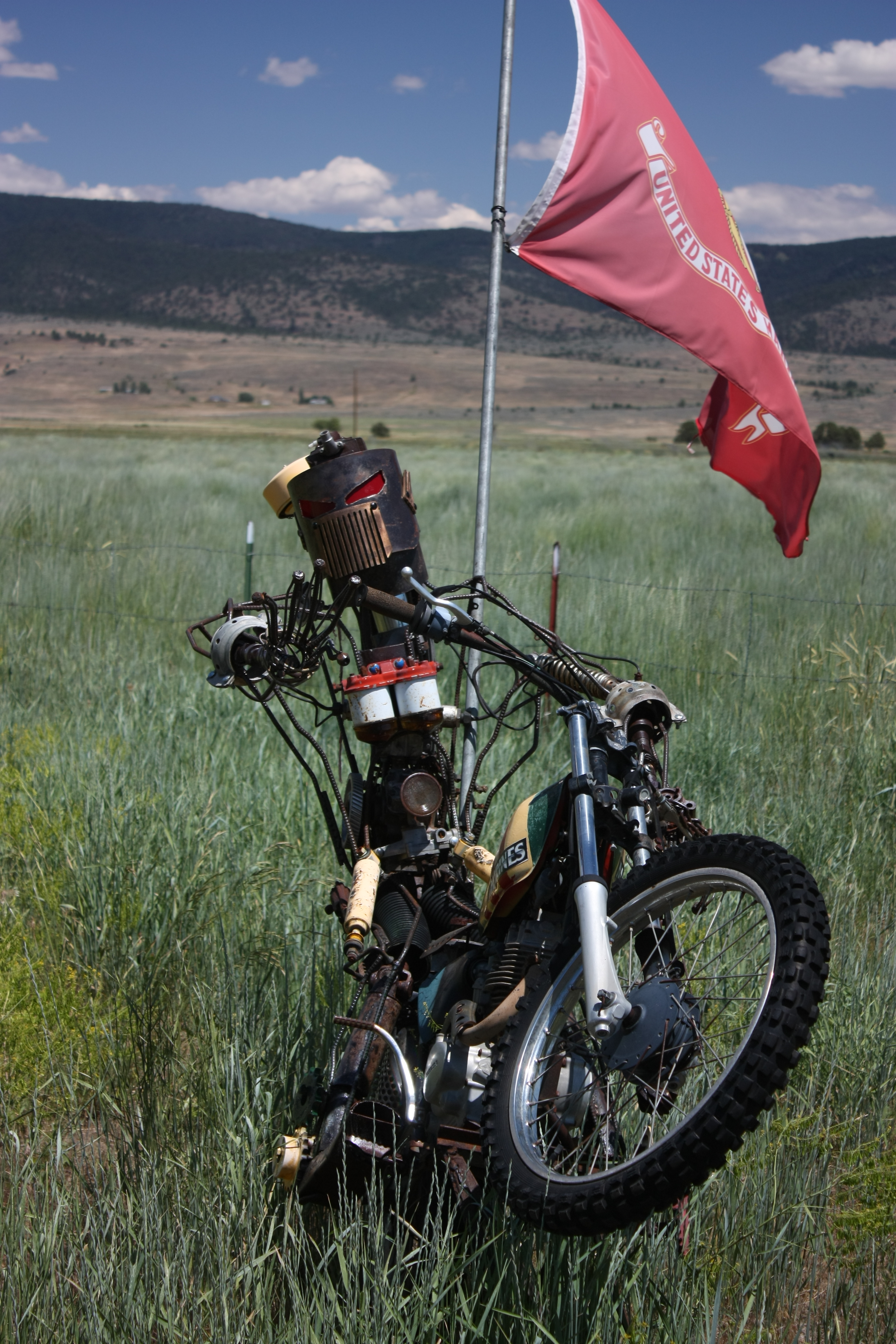
Nam Rider
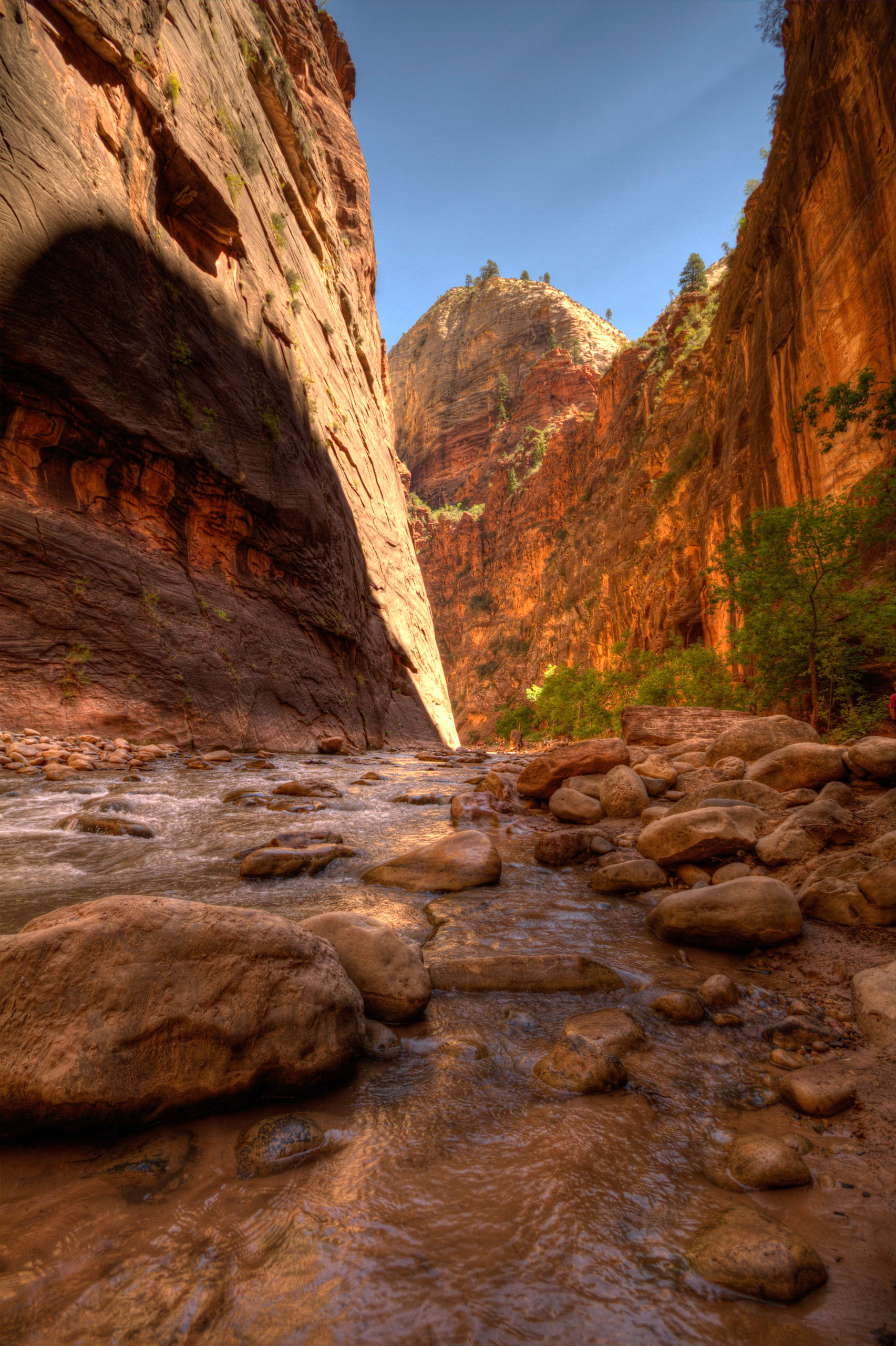
Canyon River

Rolling Irrigation rigs in Adin, California

_8220093.NEF

_8060243.NEF

_8060245.NEF

_8220092.NEF

Rush Creek panorama
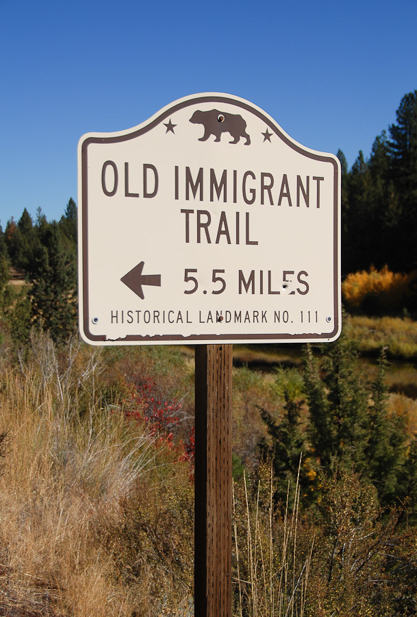
20111017_2322..."5.5 Miles" (NOT!)
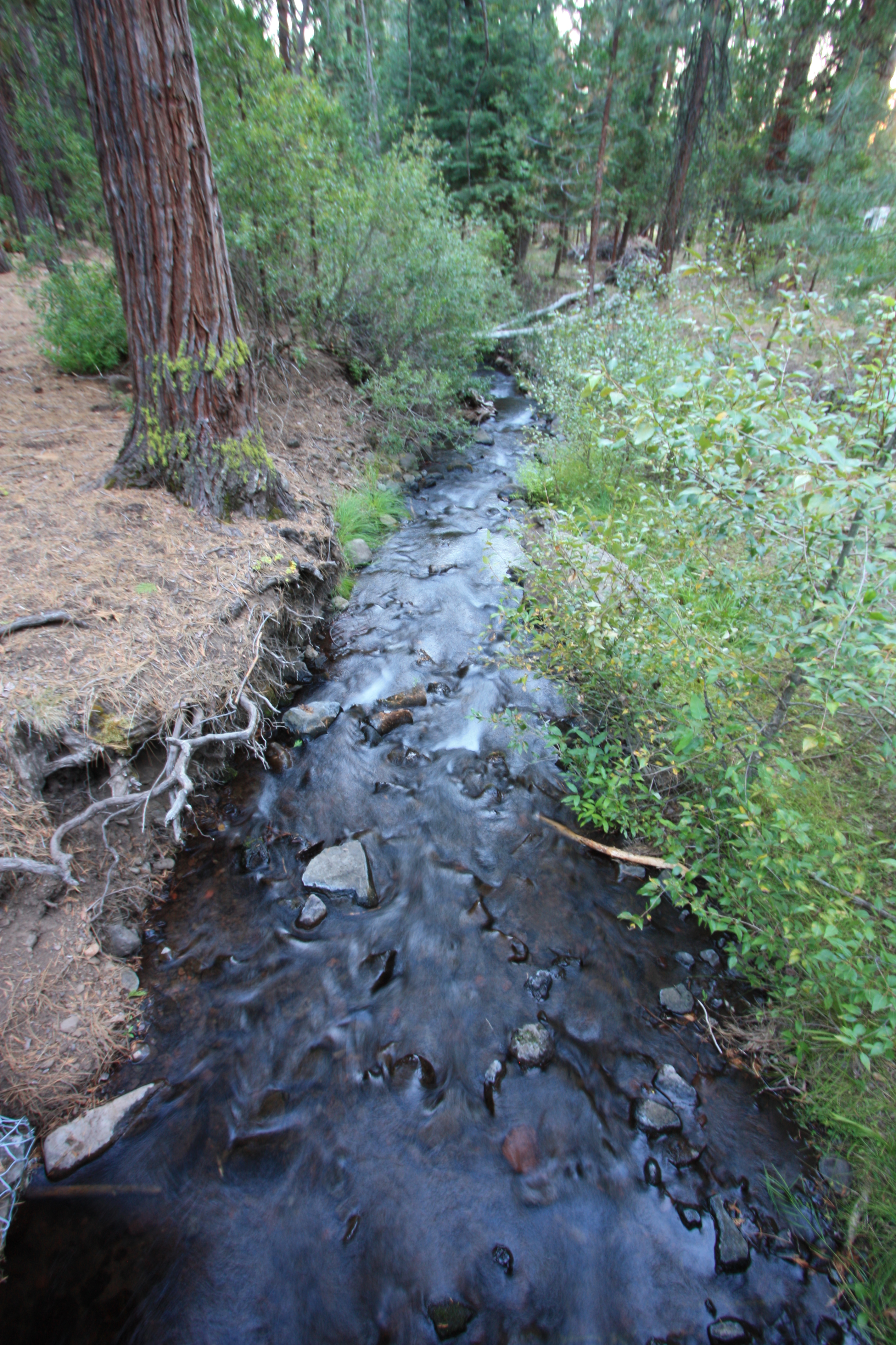
Rush Creek
Topographic Map of Muletail Dr, Adin, CA, USA
Find elevation by address:

Places near Muletail Dr, Adin, CA, USA:
Upper Rush Creek Campground
Canby
Modoc County
Likely Mountain
Mcarthur
1422 A
1600 A
Likely
Alturas
421 E Modoc St
Jess Valley Rd, Likely, CA, USA
Lucilane Blvd, Alturas, CA, USA
Likely Place Golf & Rv Resort
Likely Place
299 Pintail Dr
Alturas, CA, USA
434 Buffalo Dr
Williams Road
Tule Mountain
Madeline
Recent Searches:
- Elevation of Crocker Dr, Vacaville, CA, USA
- Elevation of Pu Ngaol Community Meeting Hall, HWHM+3X7, Krong Saen Monourom, Cambodia
- Elevation of Royal Ontario Museum, Queens Park, Toronto, ON M5S 2C6, Canada
- Elevation of Groblershoop, South Africa
- Elevation of Power Generation Enterprises | Industrial Diesel Generators, Oak Ave, Canyon Country, CA, USA
- Elevation of Chesaw Rd, Oroville, WA, USA
- Elevation of N, Mt Pleasant, UT, USA
- Elevation of 6 Rue Jules Ferry, Beausoleil, France
- Elevation of Sattva Horizon, 4JC6+G9P, Vinayak Nagar, Kattigenahalli, Bengaluru, Karnataka, India
- Elevation of Great Brook Sports, Gold Star Hwy, Groton, CT, USA