Elevation of Mulcent, France
Location: France > Île-de-france > Yvelines >
Longitude: 1.651792
Latitude: 48.878825
Elevation: 122m / 400feet
Barometric Pressure: 100KPa
Elevation Map:
Satellite Map:
Related Photos:

L'Arbre à la Quénée

Château d'Anet and Diane de Poitiers
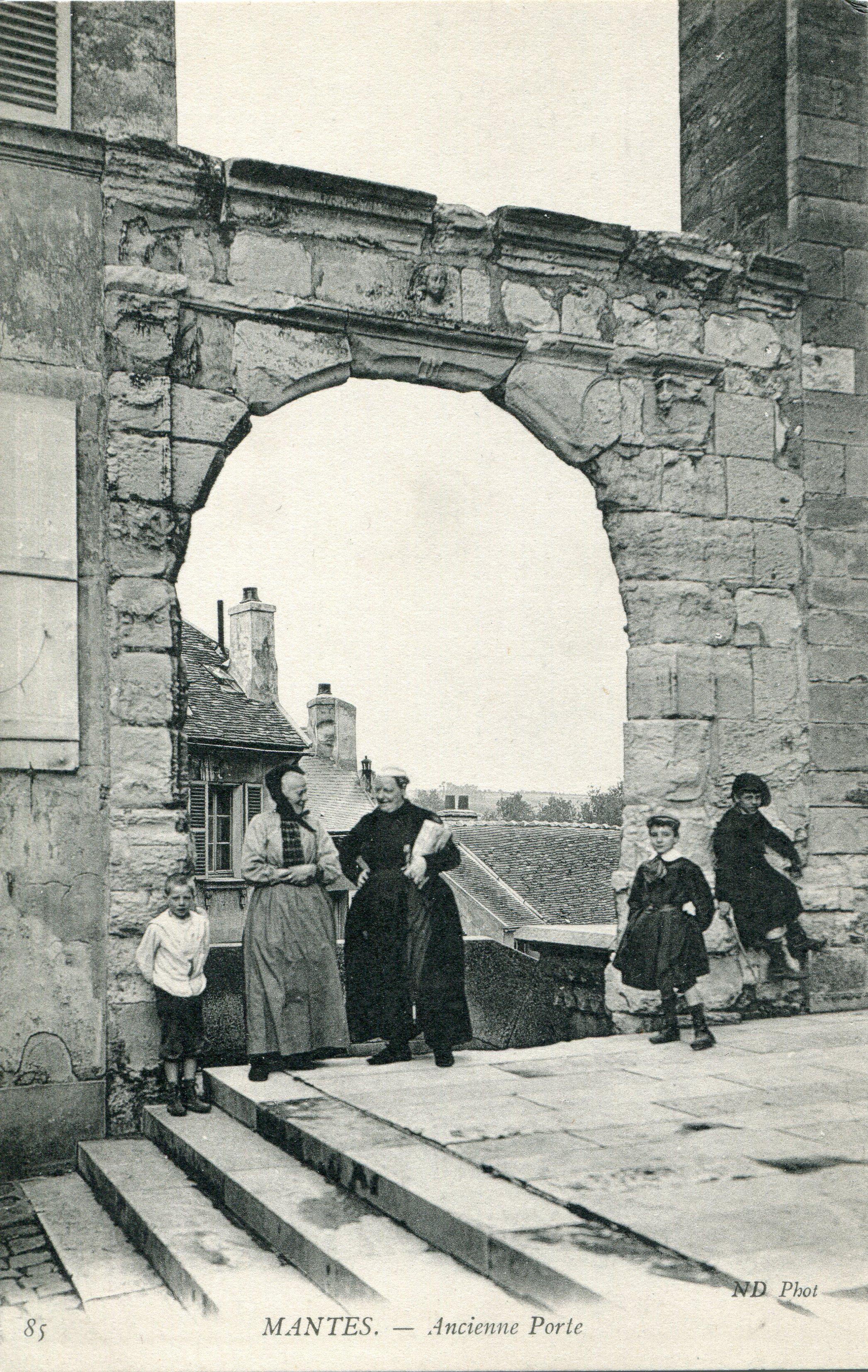
85. Mantes. Ancienne Porte (c.1915)

Anleger view it the #castle of #anet, #home it #dianedepoitiers #france #visitfrance #travel

View from Château de Villiers Le Mahieu

Harmonie de Clamart - Alain Evano

Looking down from the château de Thoiry
DSC05434.JPG

Our view from the château this weekend. #wedding #Angelique&Matthieu
DSC05416.JPG
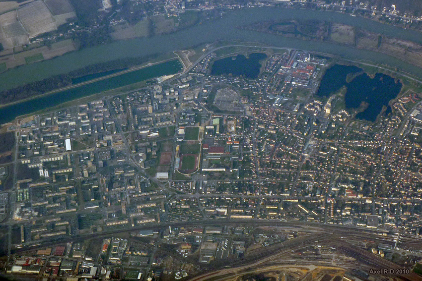
Mantes-la-Jolie

Château d'Anet and Diane de Poitiers
DSC05437.JPG
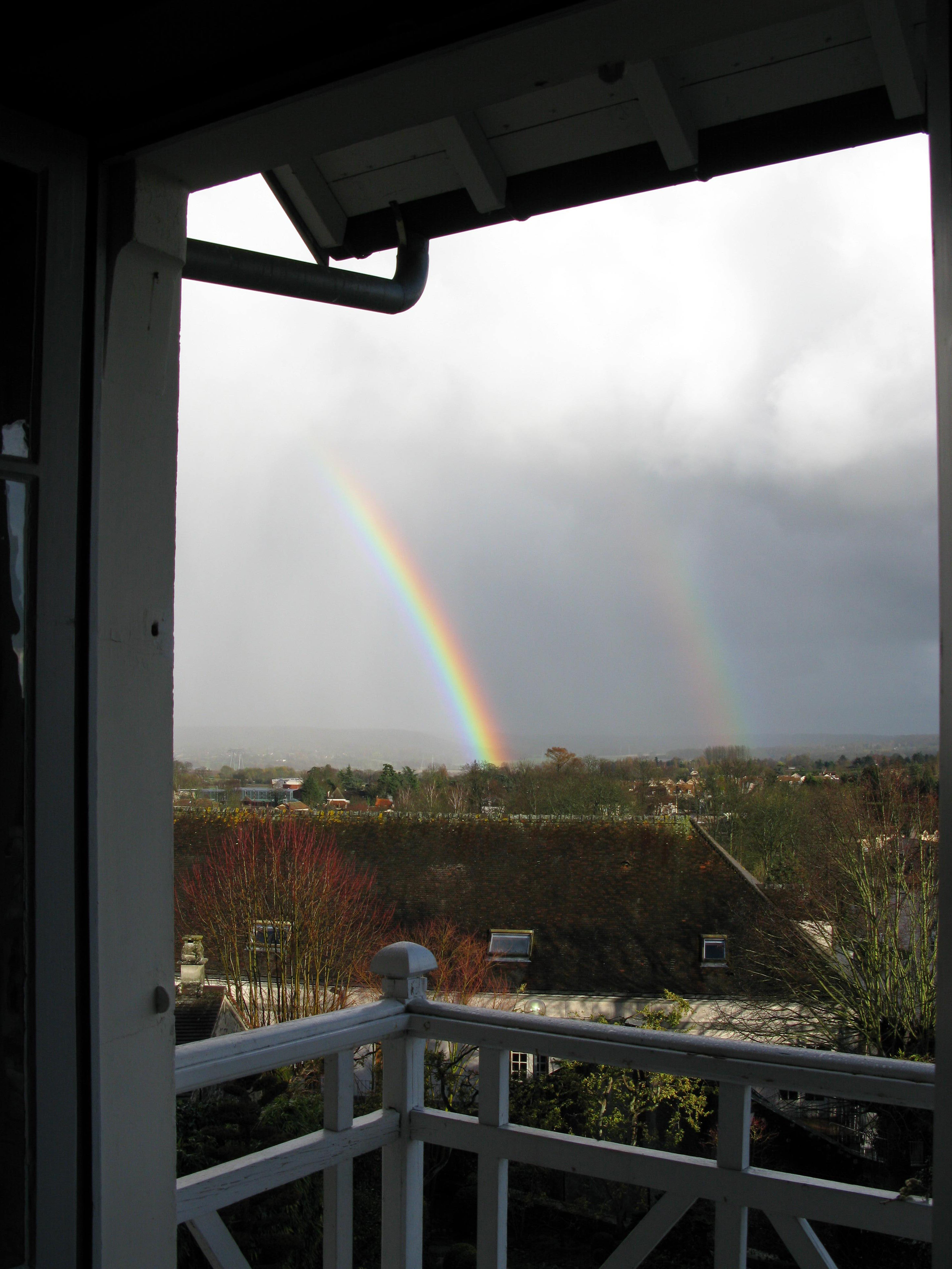
Double rainbow at Montfort l'Amaury

DSC05446.JPG
DSC05421.JPG
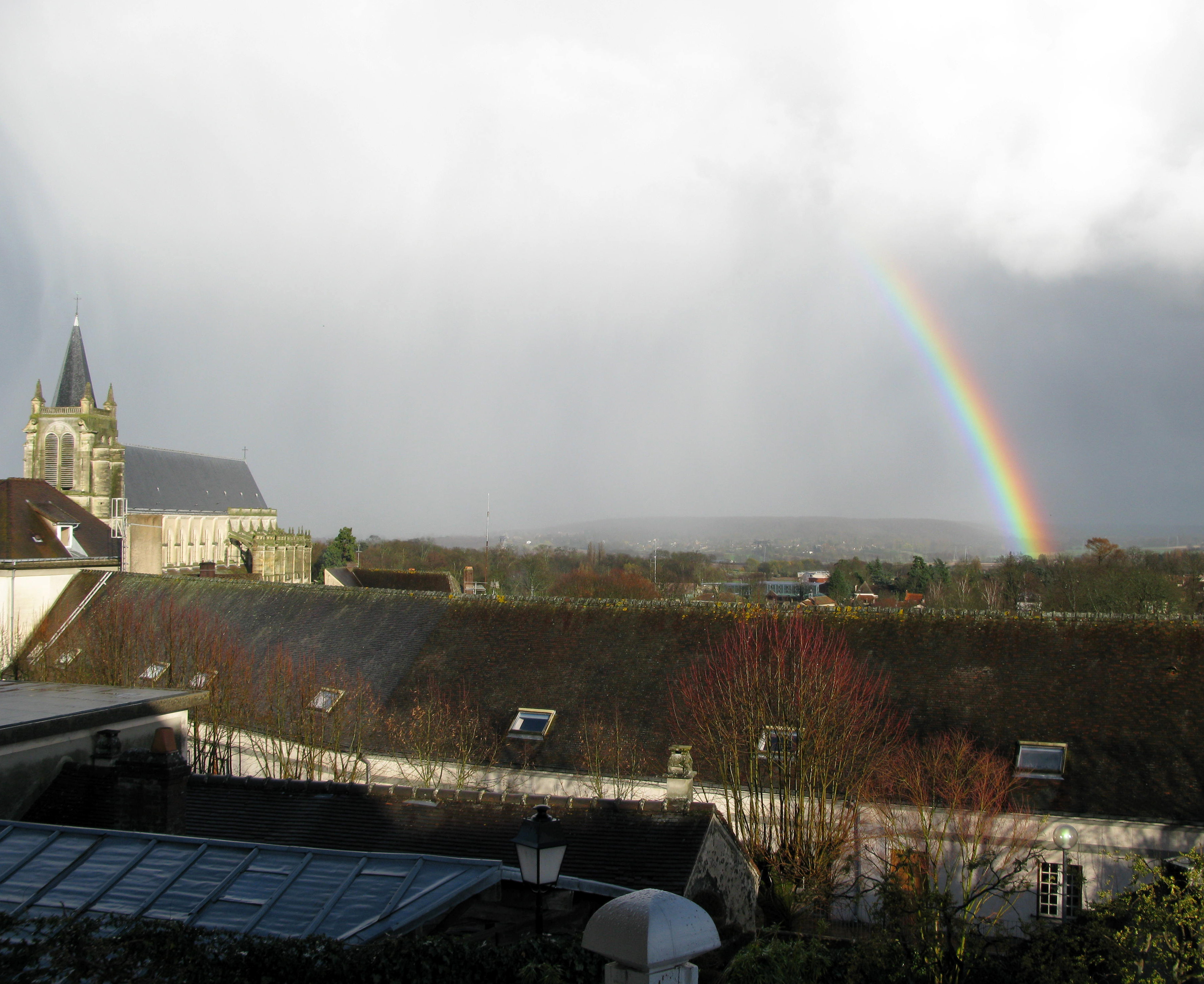
Rainbow at Montfort l'Amaury
Montfort l'Amaury, France
DSC05424.JPG
DSC05448.JPG
View from my window tonight ???? #viewfrommywindow #eveningsky #sunset

Ruins, Castle, Shadow
Vieux Pont de Limay

Lonely tree

pont roman en automne NKCEp+Pol LM 1001203

montchauvet NKAEp L1001348

Alternative...
Collégiale de Mantes-la-Jolie

les randonneurs LM+21 1001575

Au bord de l'Eure - Le moulin de Garennes-sur-Eure

Une bien jolie Seine.........
Cheval dans la brume LM 1001192

Slow waters

Pano Monchauvet Leica M6 K400TX 578_579

chemin en automne DXO LM 1001204
Pano vue de Limay Mantois partie 01 LM- 2013_11

Panorama Mantes la Jolie

la MARINA LM_1000075

Porcheville, France

Orage aux ambiances vespérales
Septeuil le matin NKCEp +pol LM8 1001018

chevaux dans la brume NKCEp+pol+SEp LM 1001191
Topographic Map of Mulcent, France
Find elevation by address:

Places in Mulcent, France:
Places near Mulcent, France:
1 Rue de Civry, Mulcent, France
13 Rue Neuve, Dammartin-en-Serve, France
Dammartin-en-serve
Orgerus
19 Rue de la Mare Montigny, Orgerus, France
2 Route d'Anet, Soindres, France
Soindres
Hargeville
3 Impasse du Presbytère, Hargeville, France
Maulette
6 Rue de l'École, Maulette, France
Saint-lubin-de-la-haye
1 Route de l'Orangerie, Saint-Lubin-de-la-Haye, France
Mondreville
5 Rue de la Libération, Mondreville, France
9 Rue du Marronnier, Le Mesnil-Simon, France
Le Mesnil-simon
2 Rue de Champagne, Le Mesnil-Simon, France
5 Rue de la Mairie, Dannemarie, France
Dannemarie
Recent Searches:
- Elevation of Dog Leg Dr, Minden, NV, USA
- Elevation of Dog Leg Dr, Minden, NV, USA
- Elevation of Kambingan Sa Pansol Atbp., Purok 7 Pansol, Candaba, Pampanga, Philippines
- Elevation of Pinewood Dr, New Bern, NC, USA
- Elevation of Mountain View, CA, USA
- Elevation of Foligno, Province of Perugia, Italy
- Elevation of Blauwestad, Netherlands
- Elevation of Bella Terra Blvd, Estero, FL, USA
- Elevation of Estates Loop, Priest River, ID, USA
- Elevation of Woodland Oak Pl, Thousand Oaks, CA, USA