Elevation map of Mukono, Uganda
Location: Uganda > Central Region >
Longitude: 32.7633036
Latitude: 0.2835476
Elevation: 1178m / 3865feet
Barometric Pressure: 88KPa
Elevation Map:
Satellite Map:
Related Photos:

Nice views of lake #victoria at our feet

The #view from our pad in #kampala
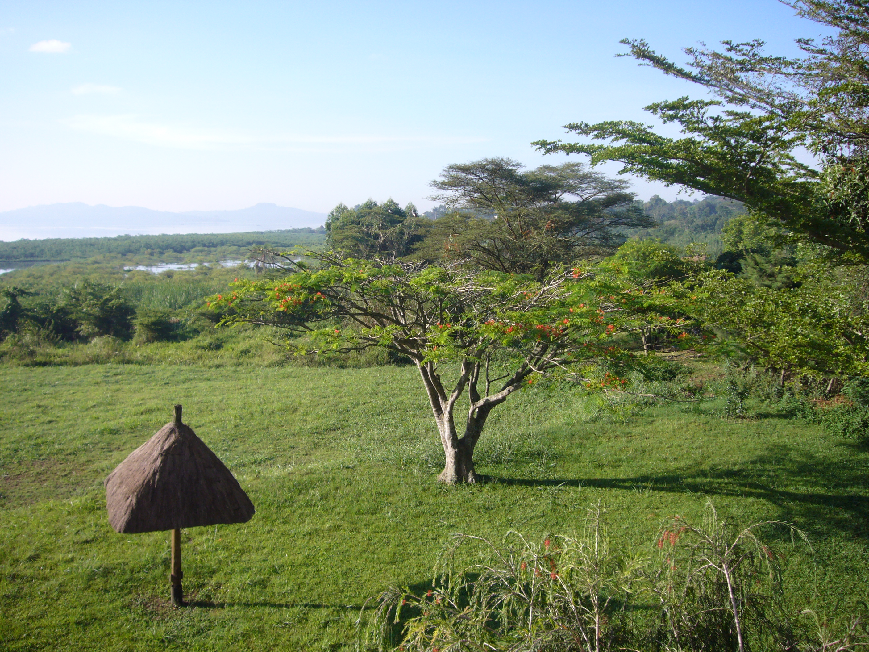
Another view of Lake Victoria in the back
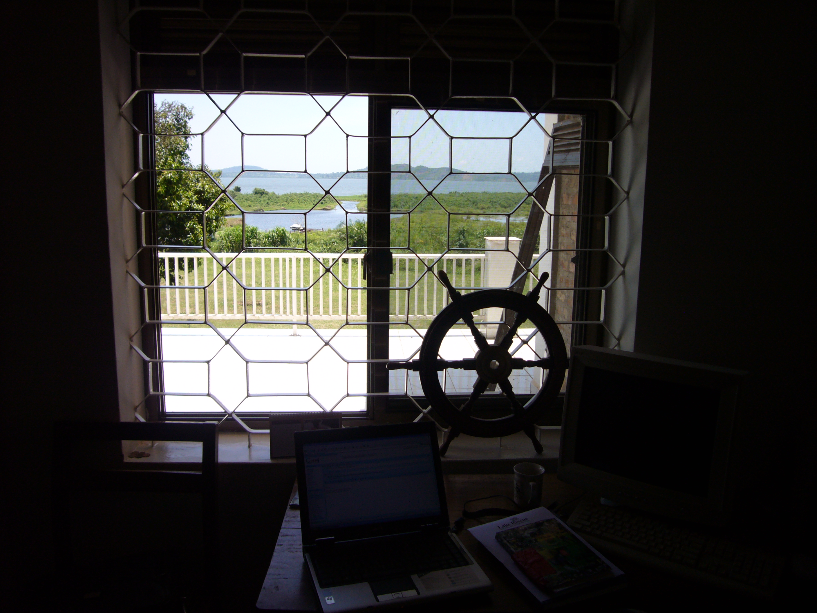
The View out my window at work
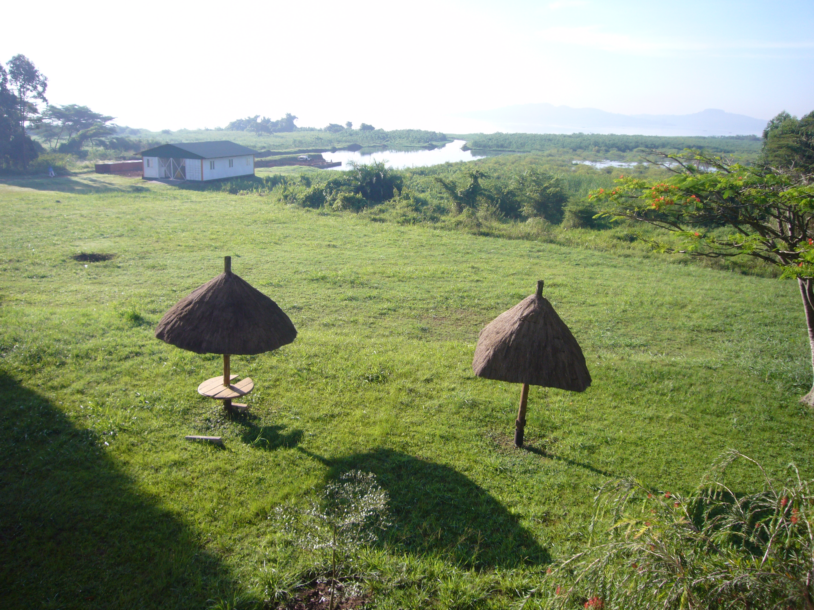
The view from work
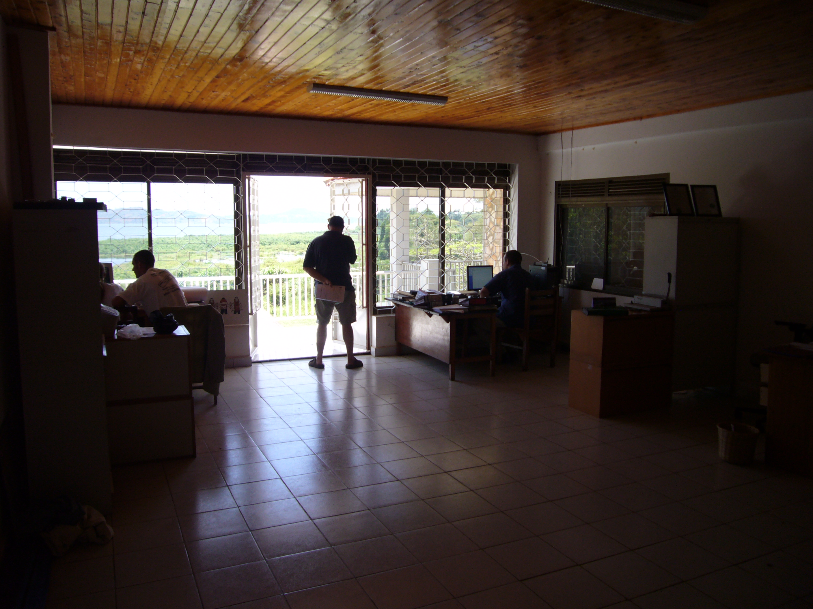
another view inside
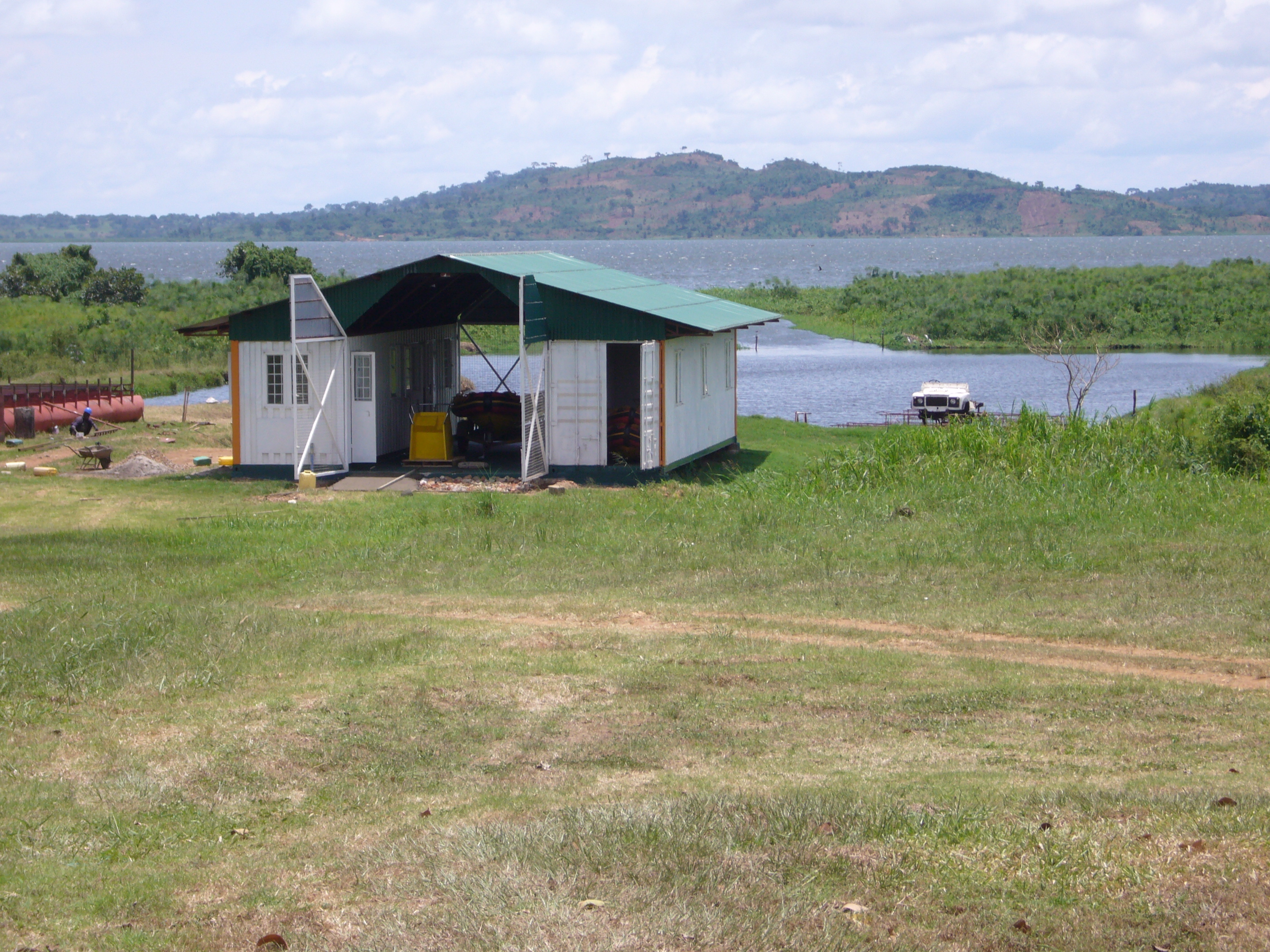
Another view from work...Rescue Station
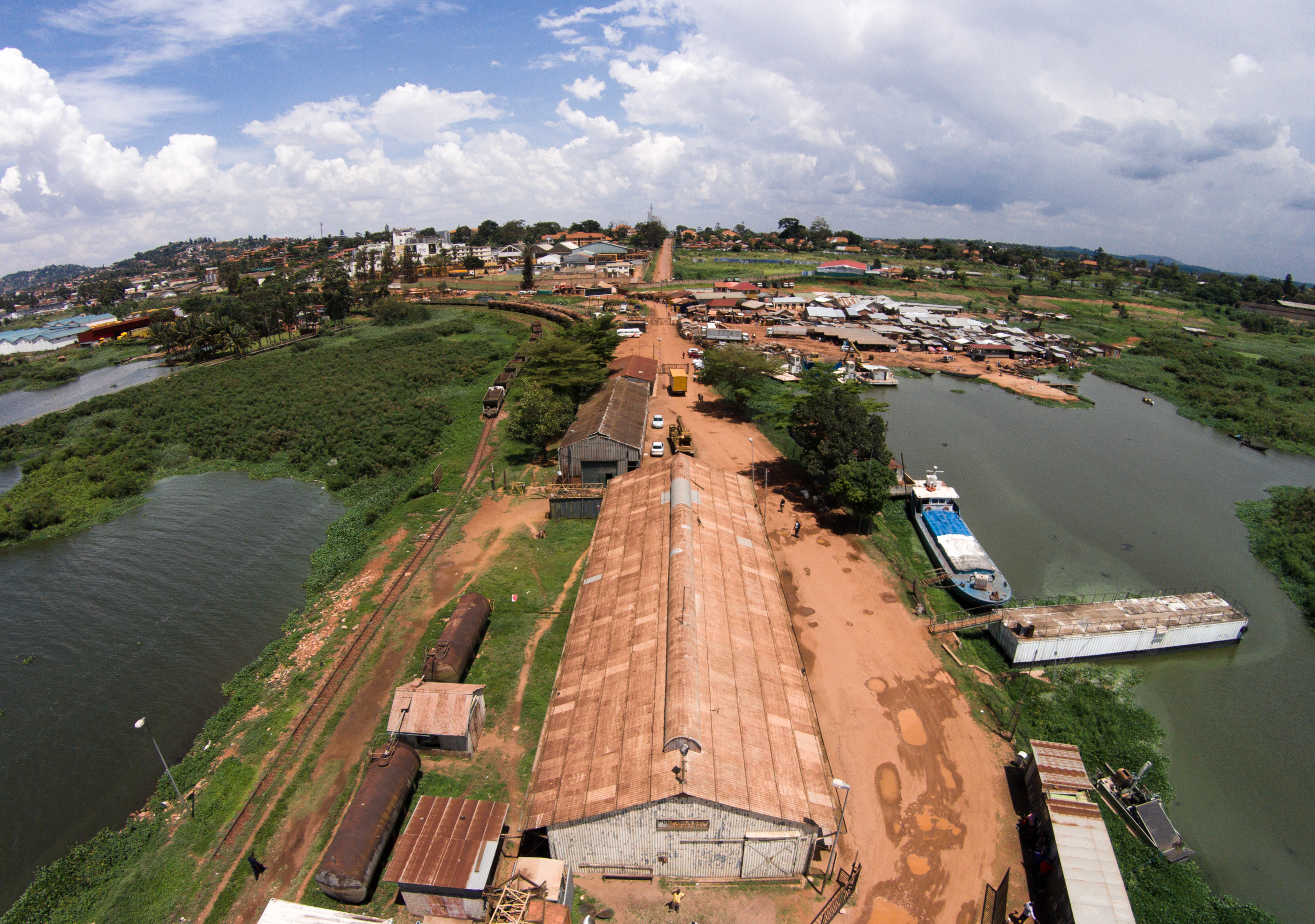
Port Bell.

Brick Kiln
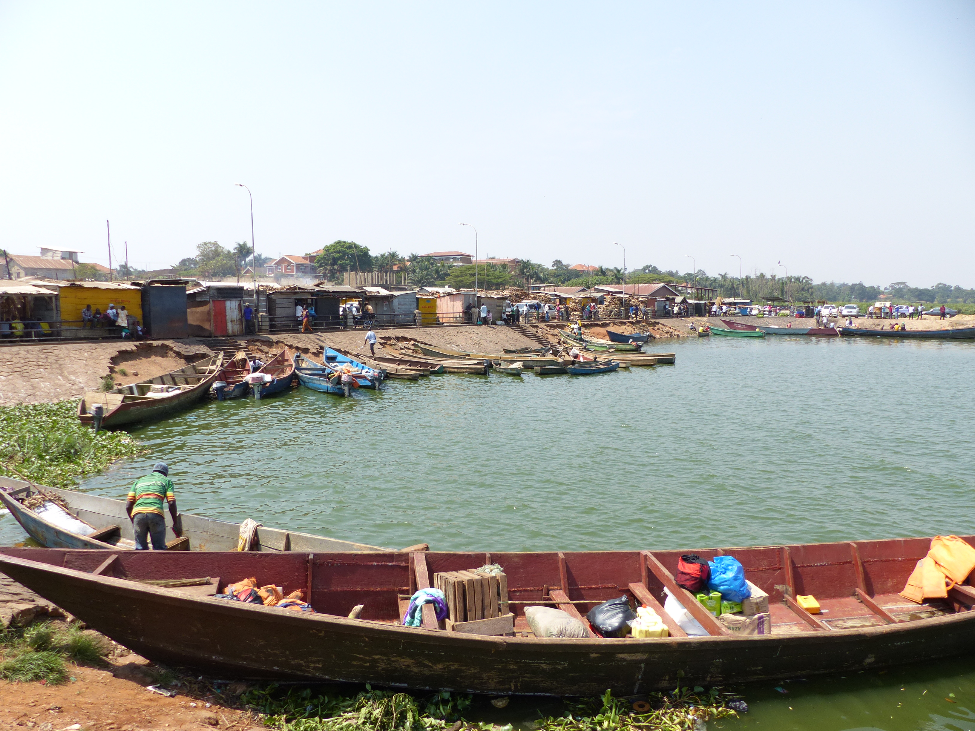
Ggaba fish market
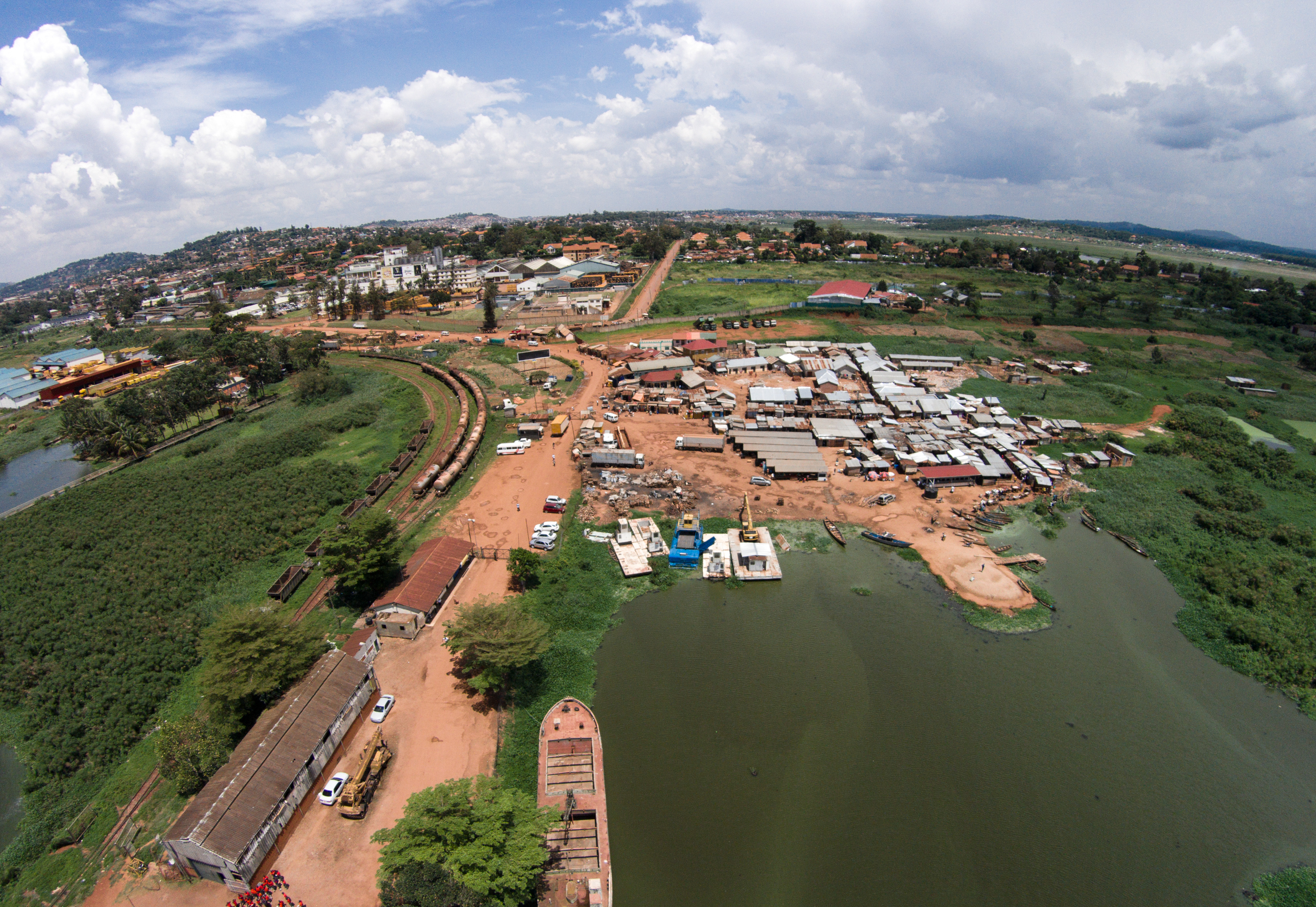
Port Bell.
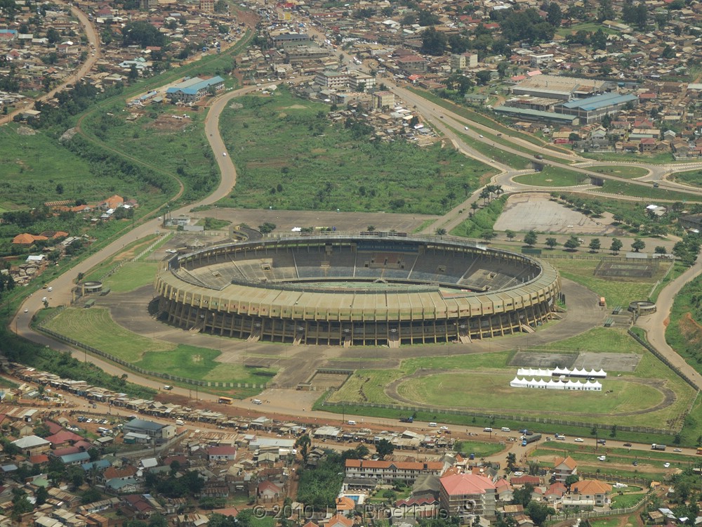
Namboole Stadium

The High Street, Bukasa
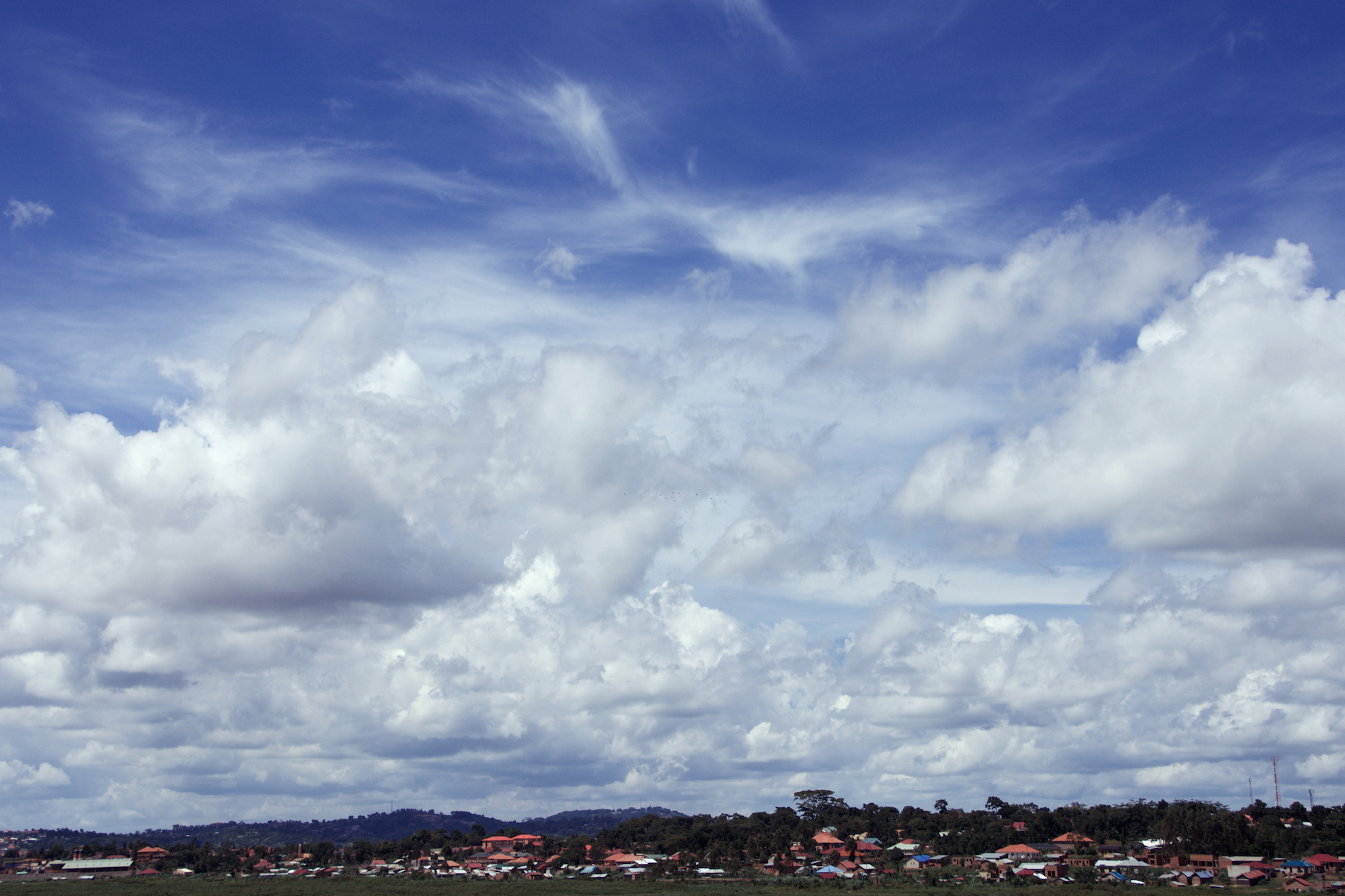
Uganda Big Sky
Topographic Map of Mukono, Uganda
Find elevation by address:

Places in Mukono, Uganda:
Places near Mukono, Uganda:
Kisoga
Mukono
Kirinnya
Bweyogerere
Mandela National Stadium
Ngabo Apartments
Kampala
Central Kampala
Kilembe Mines Limited
Era House
Nakasero
Kisaasi College School
Kampala
Makerere University
Makerere University Main Gate
Mulago
Livingstone Hall
Livingstone Terrace
Kasubi Royal Tombs
Kyadondo
Recent Searches:
- Elevation of Corso Fratelli Cairoli, 35, Macerata MC, Italy
- Elevation of Tallevast Rd, Sarasota, FL, USA
- Elevation of 4th St E, Sonoma, CA, USA
- Elevation of Black Hollow Rd, Pennsdale, PA, USA
- Elevation of Oakland Ave, Williamsport, PA, USA
- Elevation of Pedrógão Grande, Portugal
- Elevation of Klee Dr, Martinsburg, WV, USA
- Elevation of Via Roma, Pieranica CR, Italy
- Elevation of Tavkvetili Mountain, Georgia
- Elevation of Hartfords Bluff Cir, Mt Pleasant, SC, USA