Elevation of Mufulira, Zambia
Location: Zambia > Copperbelt Province >
Longitude: 28.2409671
Latitude: -12.550270
Elevation: 1284m / 4213feet
Barometric Pressure: 87KPa
Elevation Map:
Satellite Map:
Related Photos:

The Real Power behind Mufulira management

Zambia - Savannah Project in Mufulira Town - June 2013

Zambia - Savannah Project in Mufulira Town - June 2013

Zambia - Savannah Project in Mufulira Town - June 2013
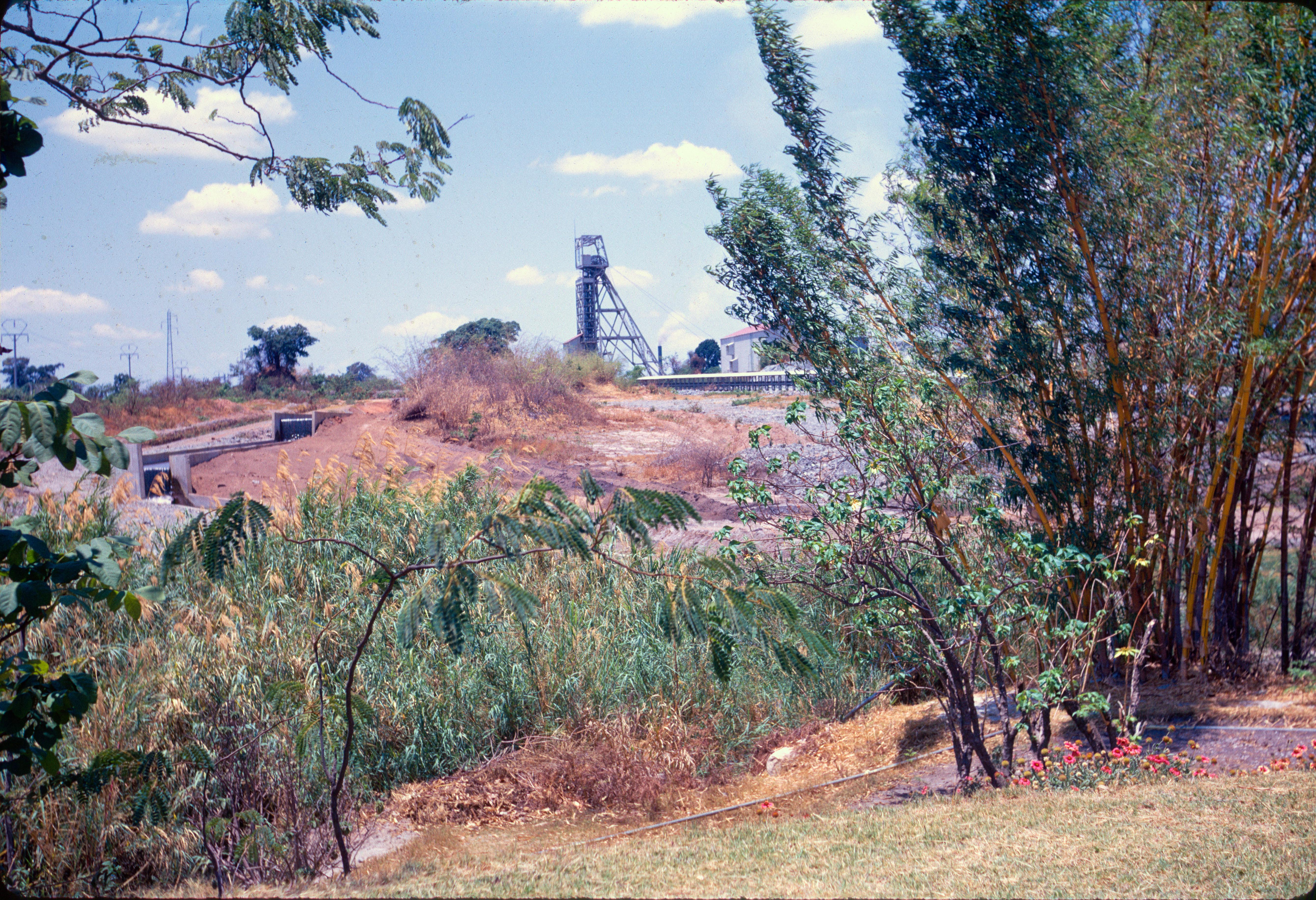
Mufulira Minehead
Topographic Map of Mufulira, Zambia
Find elevation by address:

Recent Searches:
- Elevation of Turner Mill Rd, Talladega, AL, USA
- Elevation of Wylie Ridge Rd, New Cumberland, WV, USA
- Elevation of Dogwood Ln, Millsboro, DE, USA
- Elevation of Paseo Lucido, San Diego, CA, USA
- Elevation of W S, Orem, UT, USA
- Elevation of Water Bird Wy, Punta Gorda, FL, USA
- Elevation of Teiskontie 8, Tampere, Finland
- Elevation of Pacific View Dr, Malibu, CA, USA
- Elevation of Thorpe Cir, Thousand Oaks, CA, USA
- Elevation of Eldorado do Sul - RS, Brazil