Elevation of Mualhoihchiang, Manipur, India
Location: India > Manipur > Churachandpur >
Longitude: 93.4454173
Latitude: 24.3864983
Elevation: 1295m / 4249feet
Barometric Pressure: 87KPa
Elevation Map:
Satellite Map:
Related Photos:

IMG_0299
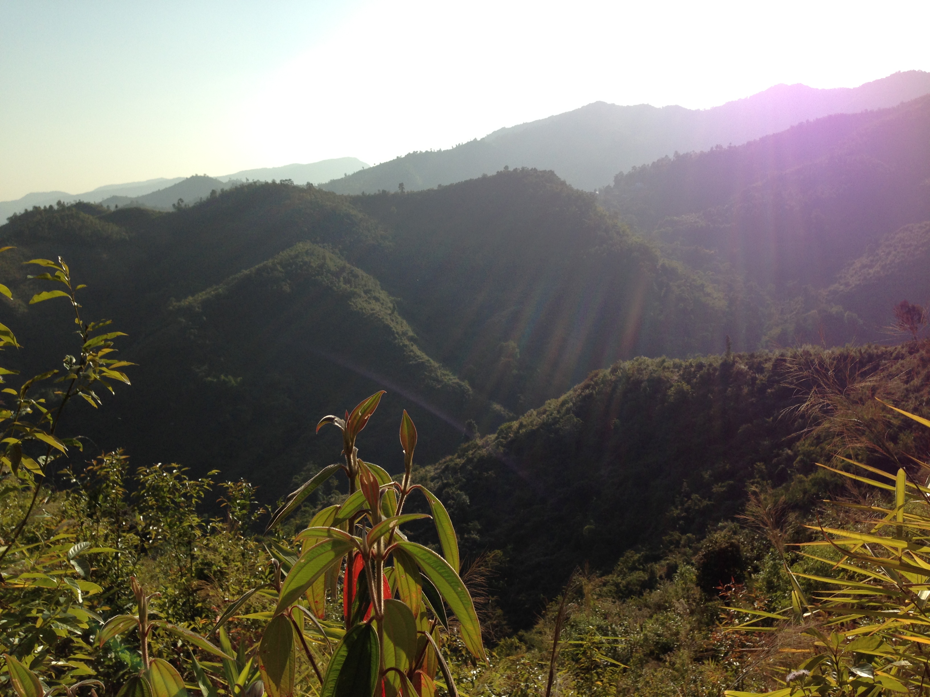
IMG_0301
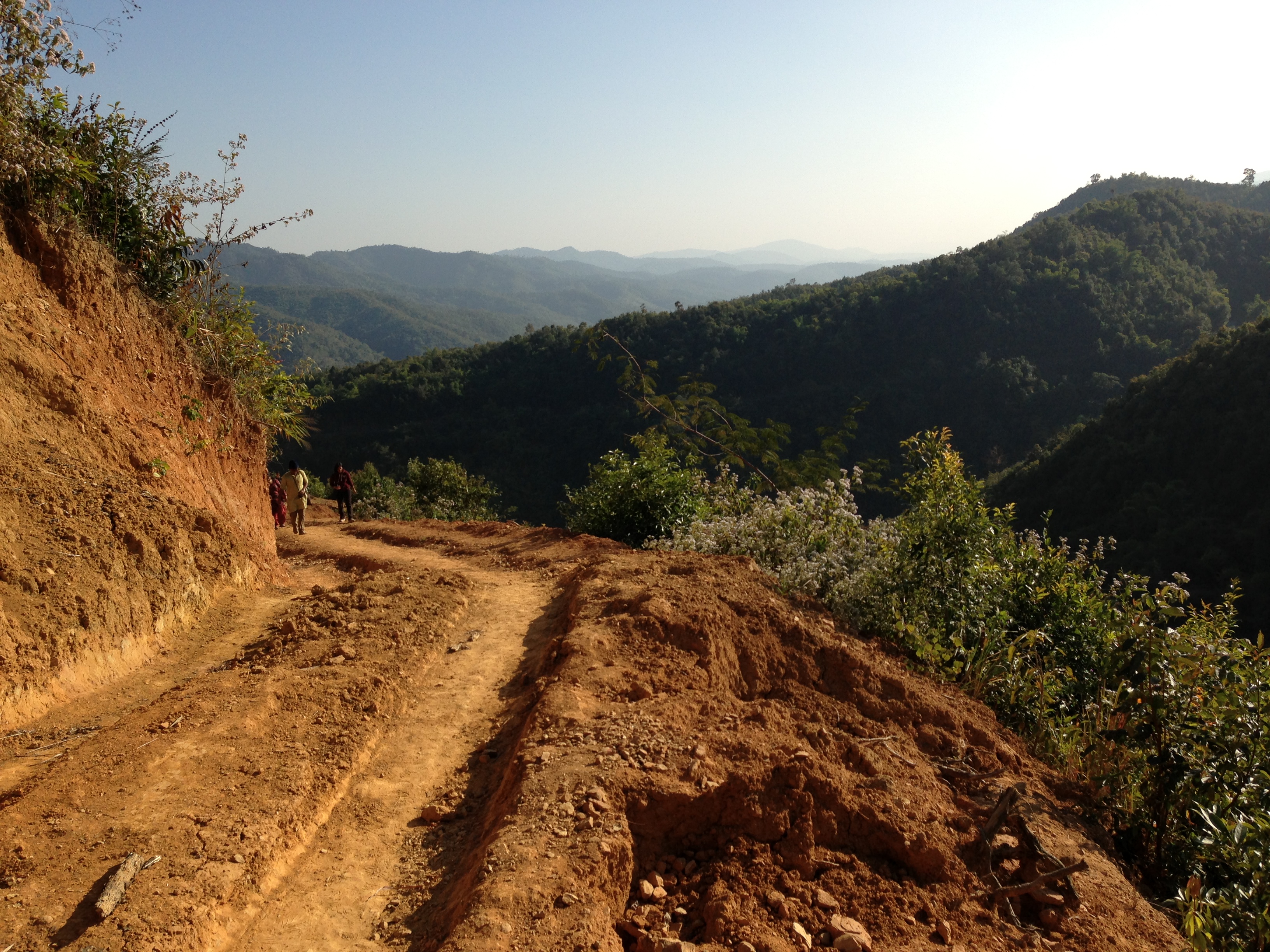
IMG_0276
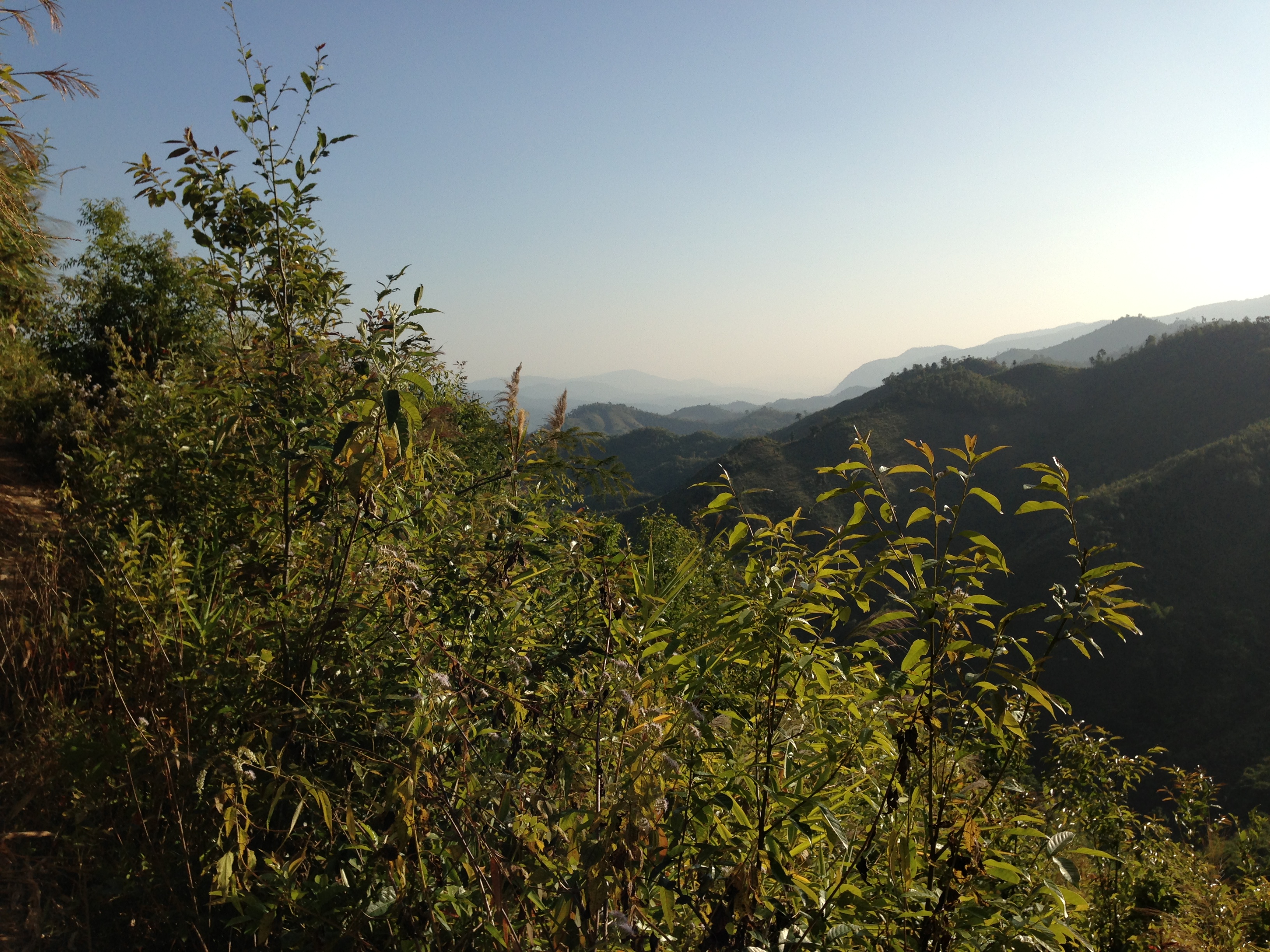
IMG_0302
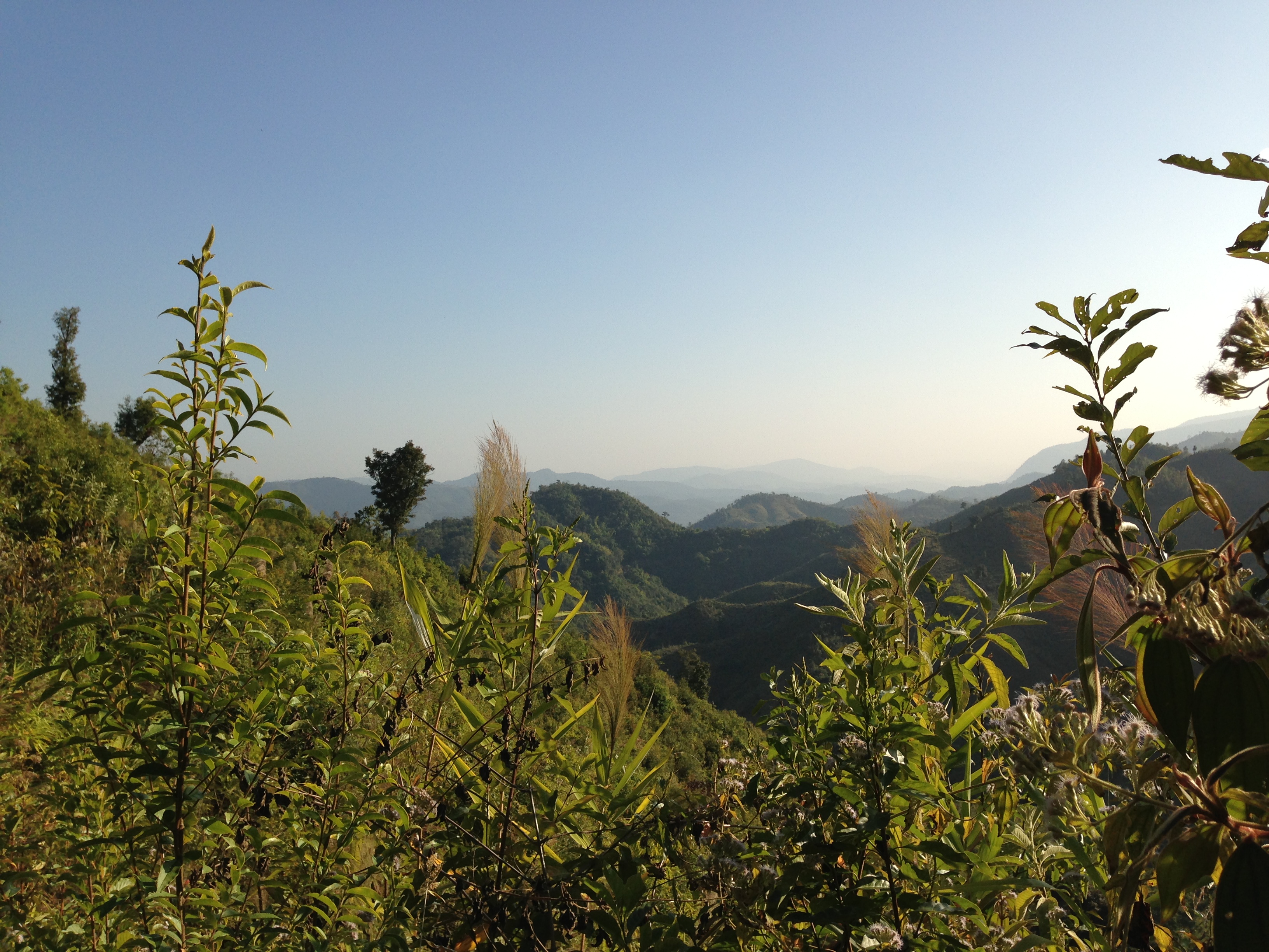
IMG_0303

IMG_0266
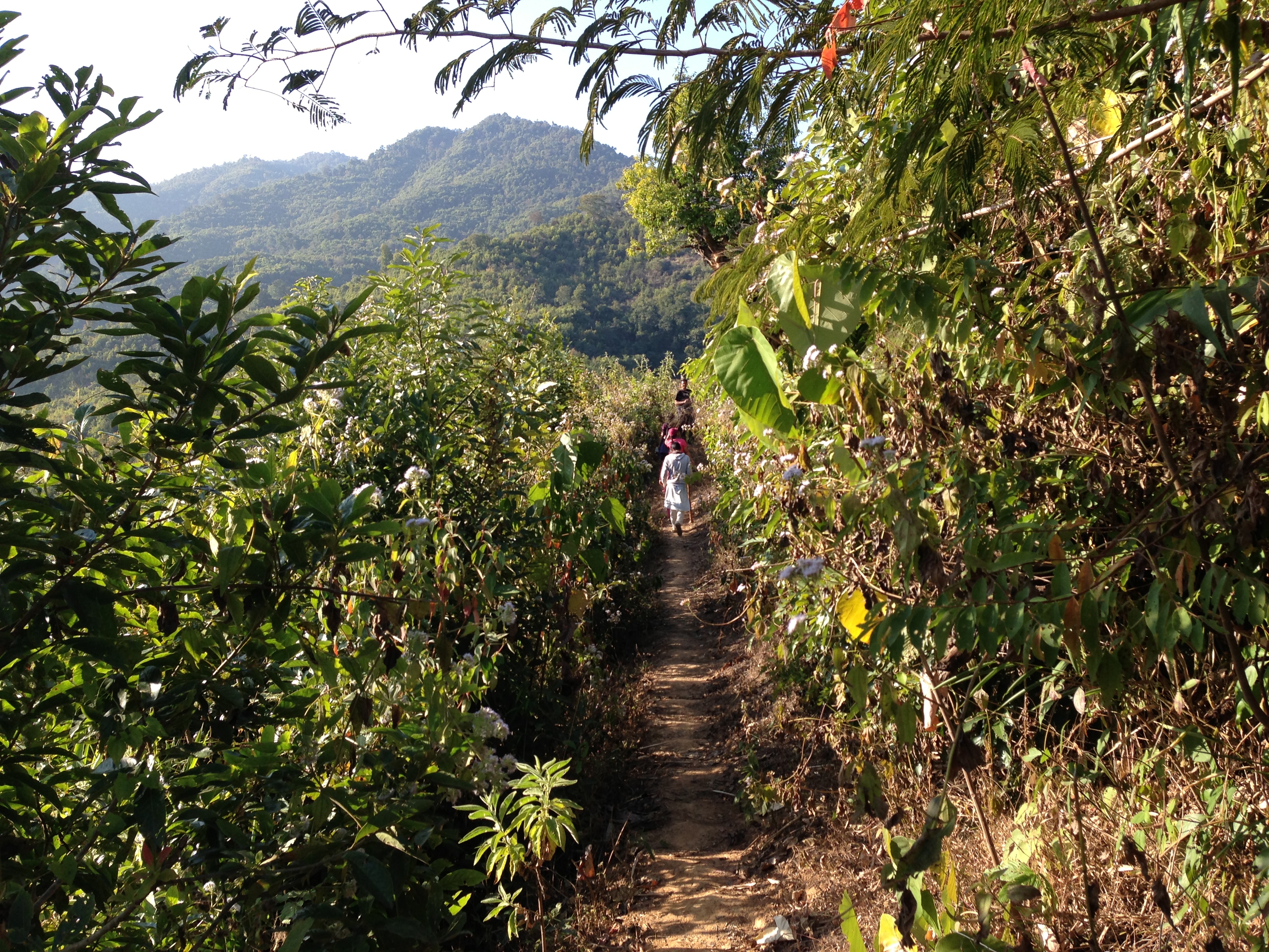
IMG_0289

IMG_0358

IMG_0291
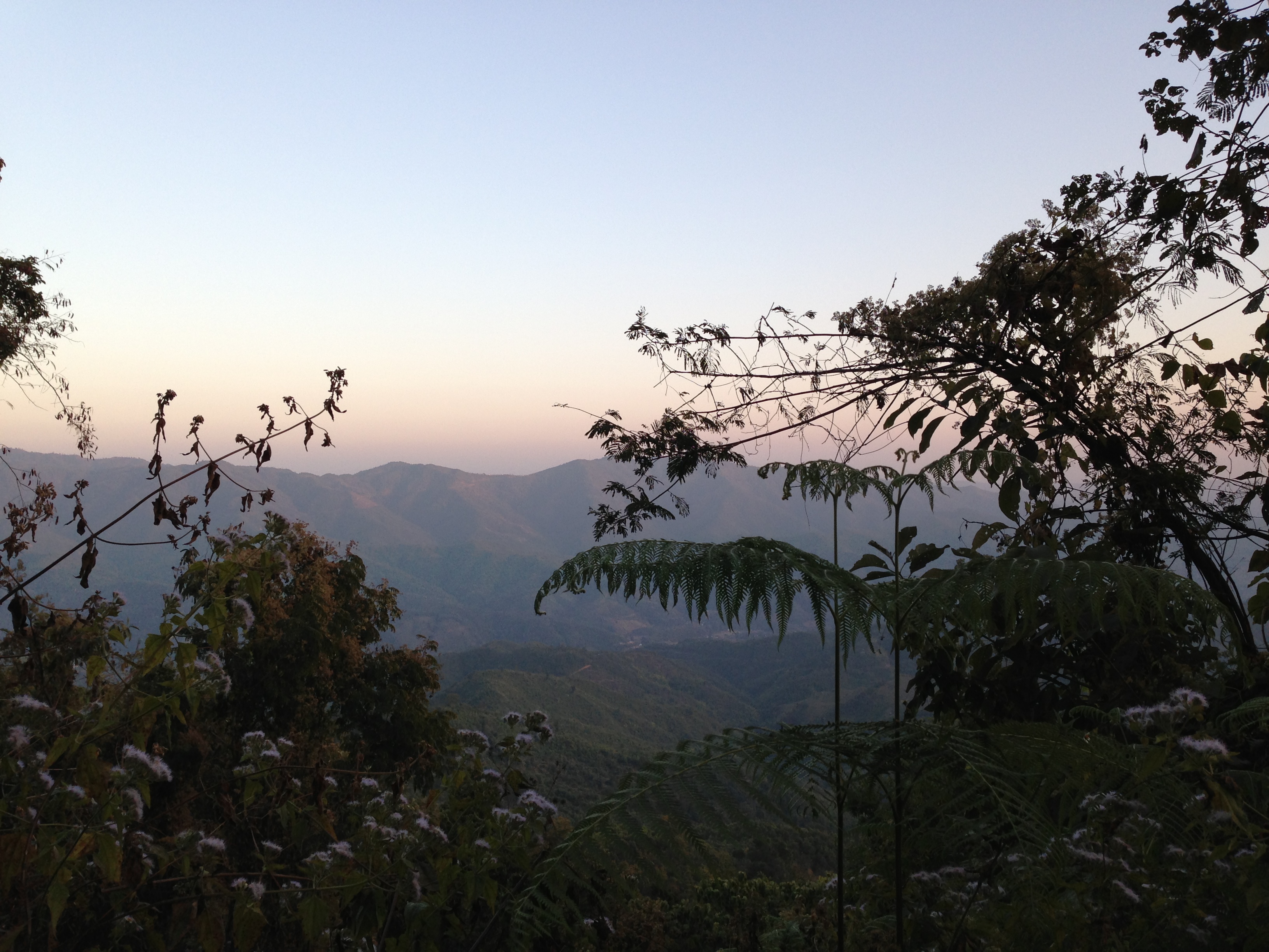
IMG_0372

IMG_0284
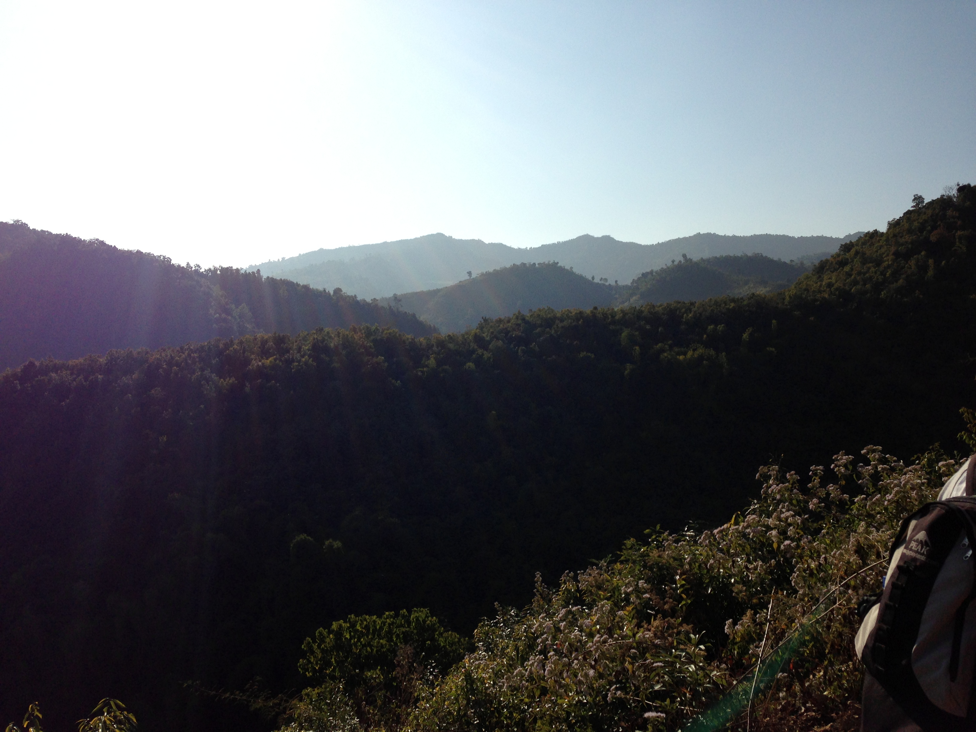
IMG_0269
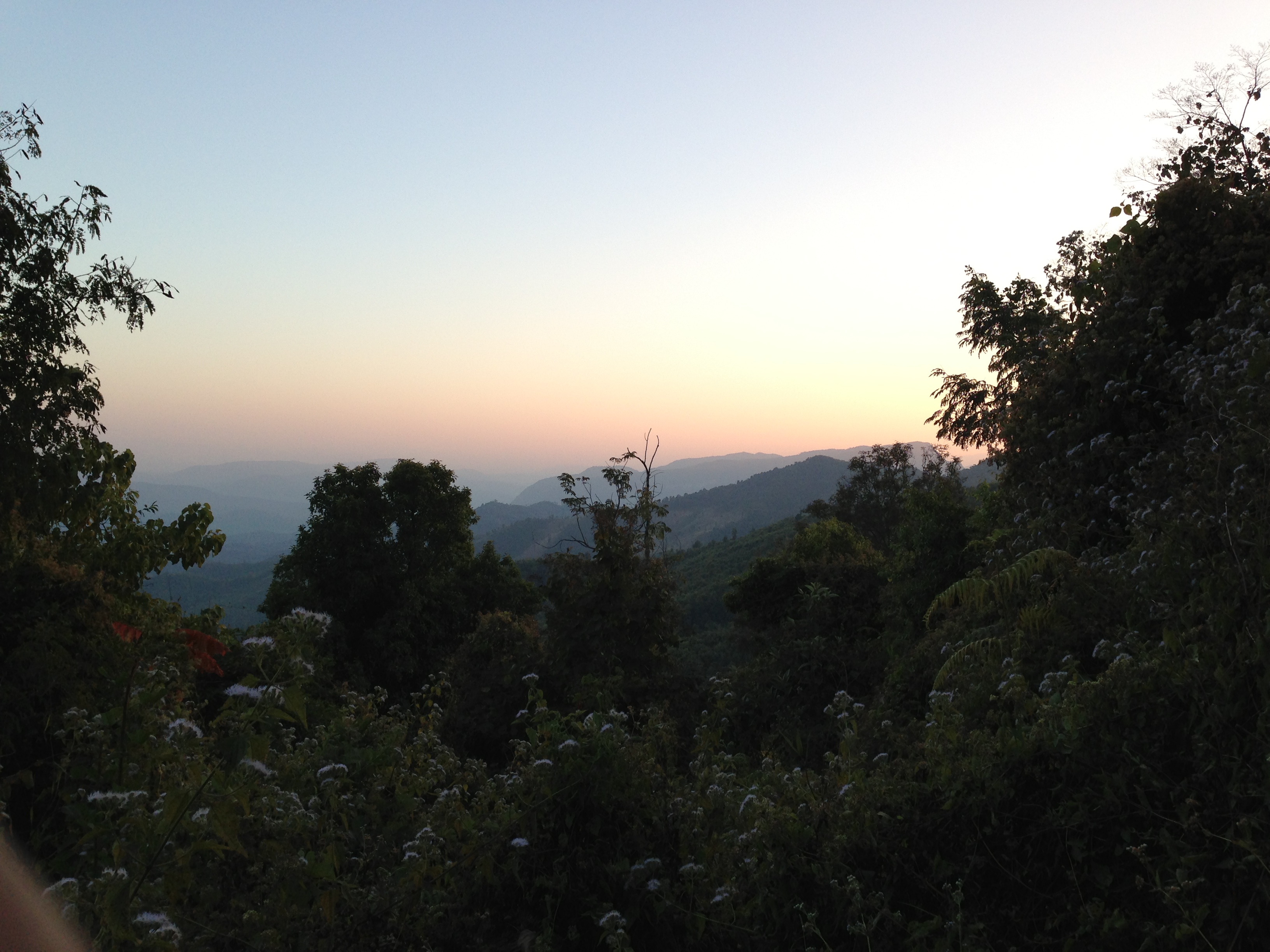
IMG_0373
Topographic Map of Mualhoihchiang, Manipur, India
Find elevation by address:

Places near Mualhoihchiang, Manipur, India:
Manipur, India
Santing L
Kaihlam
Mualkui
Churachandpur
Saichang
Sakawrdai
Manipur
Lakhipur
Tamenglong
Rdo Nursing College, Lamshang
Imphal
Imphal East
Kongba Kshetri Leikai
Legislative Assembly Of Manipur
Cheirao Ching Peak
Cheirao Ching
Chingmeirong
Cachar
Nongdam Tangkhul
Recent Searches:
- Elevation of Dog Leg Dr, Minden, NV, USA
- Elevation of Dog Leg Dr, Minden, NV, USA
- Elevation of Kambingan Sa Pansol Atbp., Purok 7 Pansol, Candaba, Pampanga, Philippines
- Elevation of Pinewood Dr, New Bern, NC, USA
- Elevation of Mountain View, CA, USA
- Elevation of Foligno, Province of Perugia, Italy
- Elevation of Blauwestad, Netherlands
- Elevation of Bella Terra Blvd, Estero, FL, USA
- Elevation of Estates Loop, Priest River, ID, USA
- Elevation of Woodland Oak Pl, Thousand Oaks, CA, USA