Elevation of Mt Tabor Rd, Topton, NC, USA
Location: United States > North Carolina > Cherokee County > Valleytown > Topton >
Longitude: -83.629673
Latitude: 35.234118
Elevation: -10000m / -32808feet
Barometric Pressure: 295KPa
Elevation Map:
Satellite Map:
Related Photos:

I made it back from Heaven

Where the Paths Parted

West View from Wesser Bald Observation Tower

Nantahala River Gorge - Land of the Noon Day Sun

Nantahala Ranger House #3

Fontana Lake and Clingman's Dome from Wesser Bald

Tower Mountain View

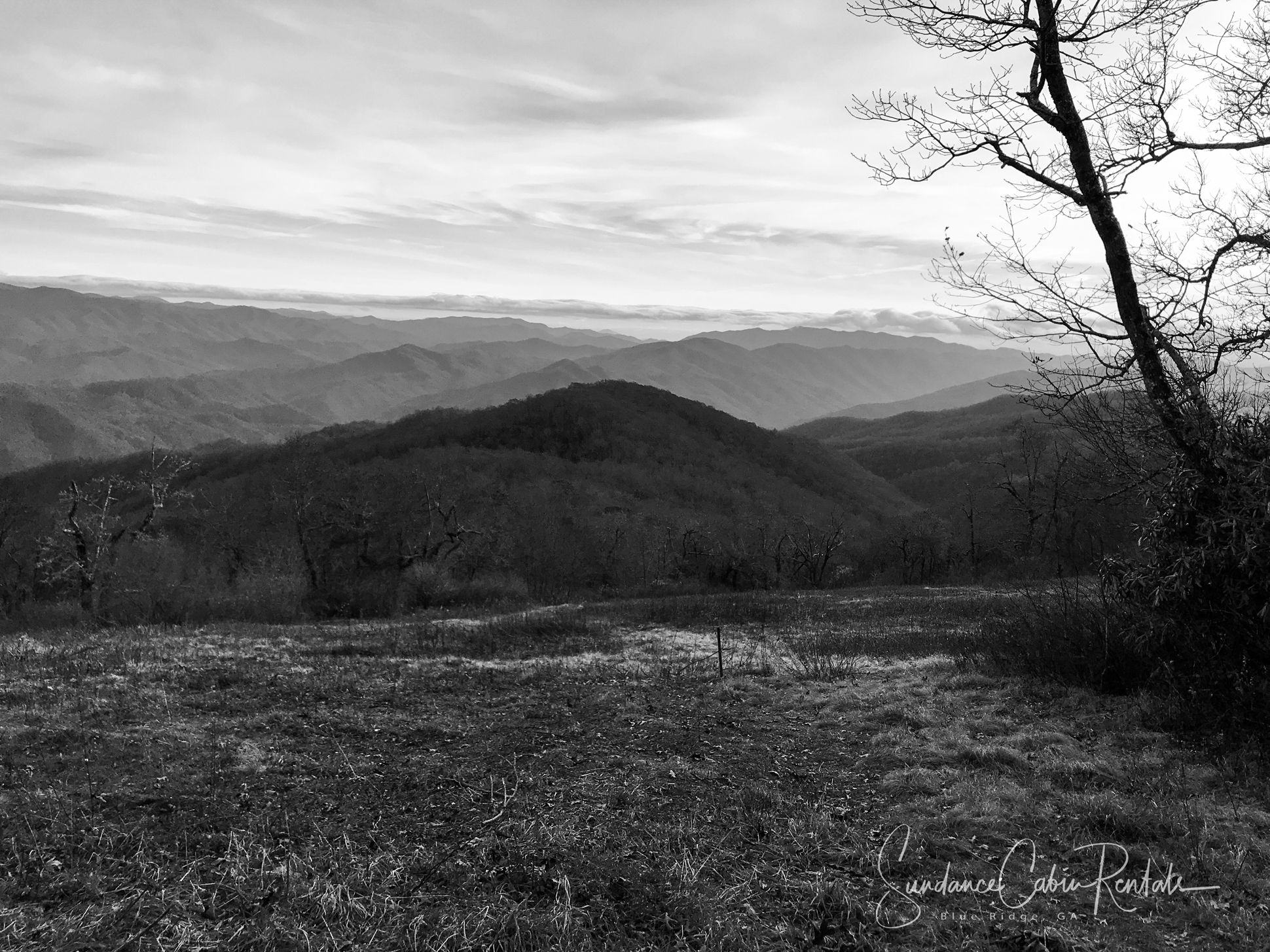
Cloudy Mountain View

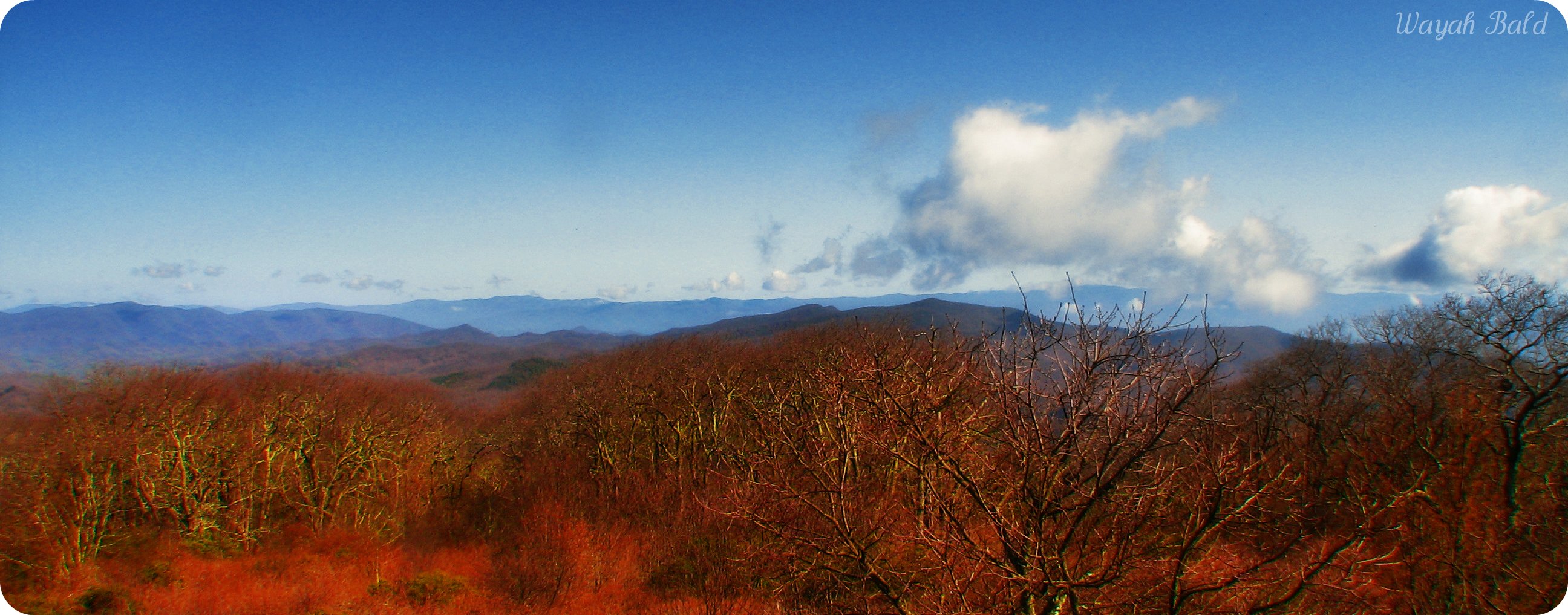
Wayah Bald Mountain View

View from Wesser Bald

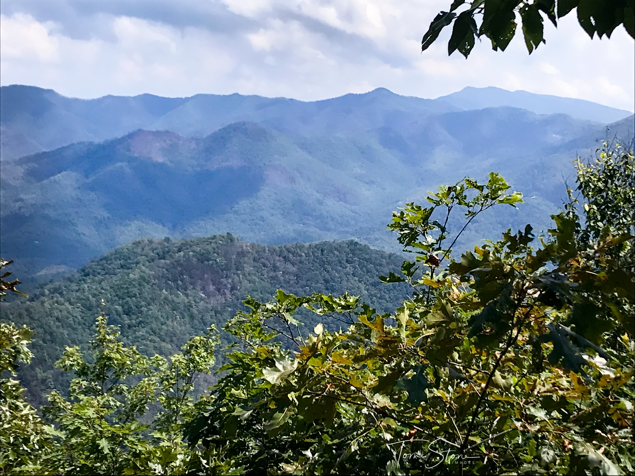
Summer Mountain View
Wayah Bald

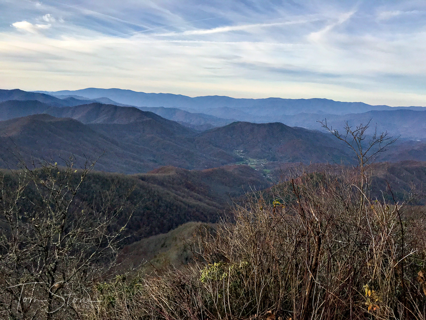
Southeast from Wesser Bald

Silers Bald
Wayah Bald View

Bridge View of the Nantahala.

Views from the train

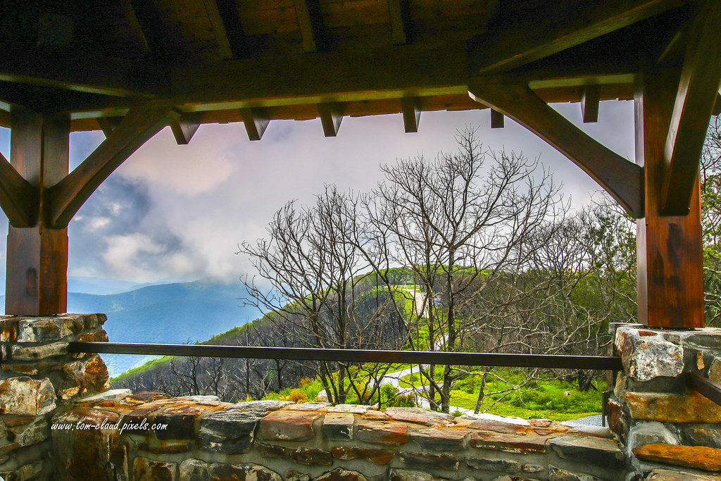
Observation Tower View

W4C/WM-024 - Siler Bald View

God's Country!

#greatsmokeymountains #nationalpark #view #northcarolina #roadtrip
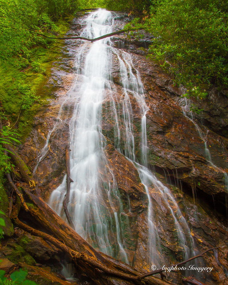
Rufus Morgan Falls

White Water

A River's Twilight

Well, this is obviously going to be popular

Wesser Bald Jeep Trail
Cheroah Bald on AT

Big Laurel Falls #franklin #standingindian #appalachia #blueridgecountry #welovenc #we_see_wnc #wilderness_culture #biglaurelfalls #diamondbrand_outdoors #cmc100challenge #stream #falls #explore #westernnorthcarolina #landofwaterfalls

345/365

Fall Lake Peninsula
Once the leaves are gone. . .

Winding Stair Sunrise
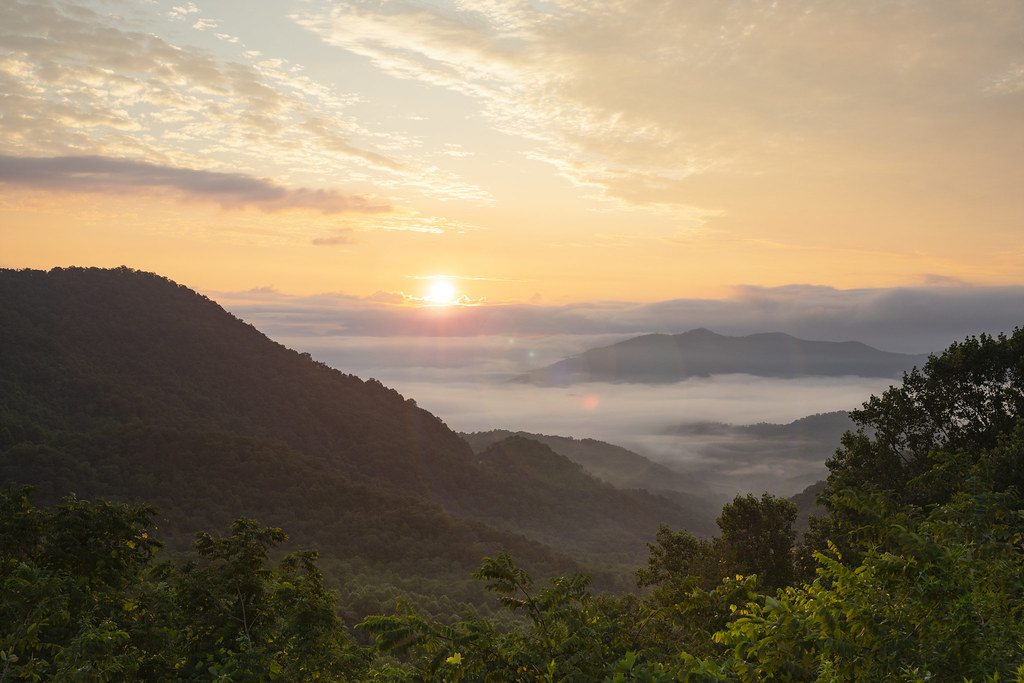
Winding Stair Sunrise

Colorful Mountain Stream

Fall colors

GSMR Rounding The Bend
Nantahala Gorge
Topographic Map of Mt Tabor Rd, Topton, NC, USA
Find elevation by address:

Places near Mt Tabor Rd, Topton, NC, USA:
1096 Mt Tabor Rd
351 Mt Tabor Rd
2815 Long Branch Rd
36 Sandy Davis Dr
Wayah Road
19296 Wayah Rd
37 Gator Ridge Rd
245 Gator Ridge Rd
211 Gator Ridge Rd
353 Gator Ridge Rd
525 Gator Ridge Rd
19296 Wayah Rd
340 Birdsong Trail
926 Winding Stairs Rd
310 Hidden Creek Rd
682 Winding Stairs Rd
271 Hampton Branch Rd
Aquone
51 Poplar Ridge Way
686 Winding Stairs Rd
Recent Searches:
- Elevation of W Granada St, Tampa, FL, USA
- Elevation of Pykes Down, Ivybridge PL21 0BY, UK
- Elevation of Jalan Senandin, Lutong, Miri, Sarawak, Malaysia
- Elevation of Bilohirs'k
- Elevation of 30 Oak Lawn Dr, Barkhamsted, CT, USA
- Elevation of Luther Road, Luther Rd, Auburn, CA, USA
- Elevation of Unnamed Road, Respublika Severnaya Osetiya — Alaniya, Russia
- Elevation of Verkhny Fiagdon, North Ossetia–Alania Republic, Russia
- Elevation of F. Viola Hiway, San Rafael, Bulacan, Philippines
- Elevation of Herbage Dr, Gulfport, MS, USA