Elevation of Mt Olive Rd, Long Bottom, OH, USA
Location: United States > Ohio > Meigs County > Olive Township >
Longitude: -81.827511
Latitude: 39.0773452
Elevation: 257m / 843feet
Barometric Pressure: 98KPa
Elevation Map:
Satellite Map:
Related Photos:

I love that moment of orange in the sky as the sun starts to rise. My view this morning from the sunroom.

Malaysian Serama
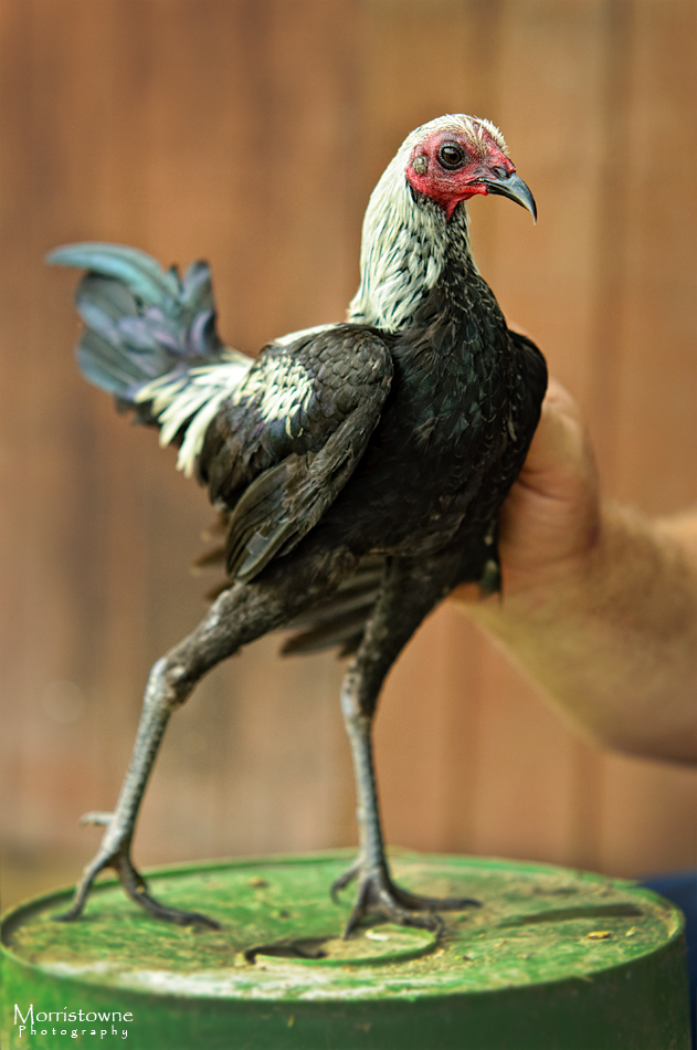
Modern Game Bantam

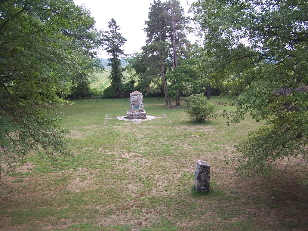
Rising elegance of mound-shaped earthwork of the vast Pre-Columbian Age. Kept mowed, w/ two chairs.
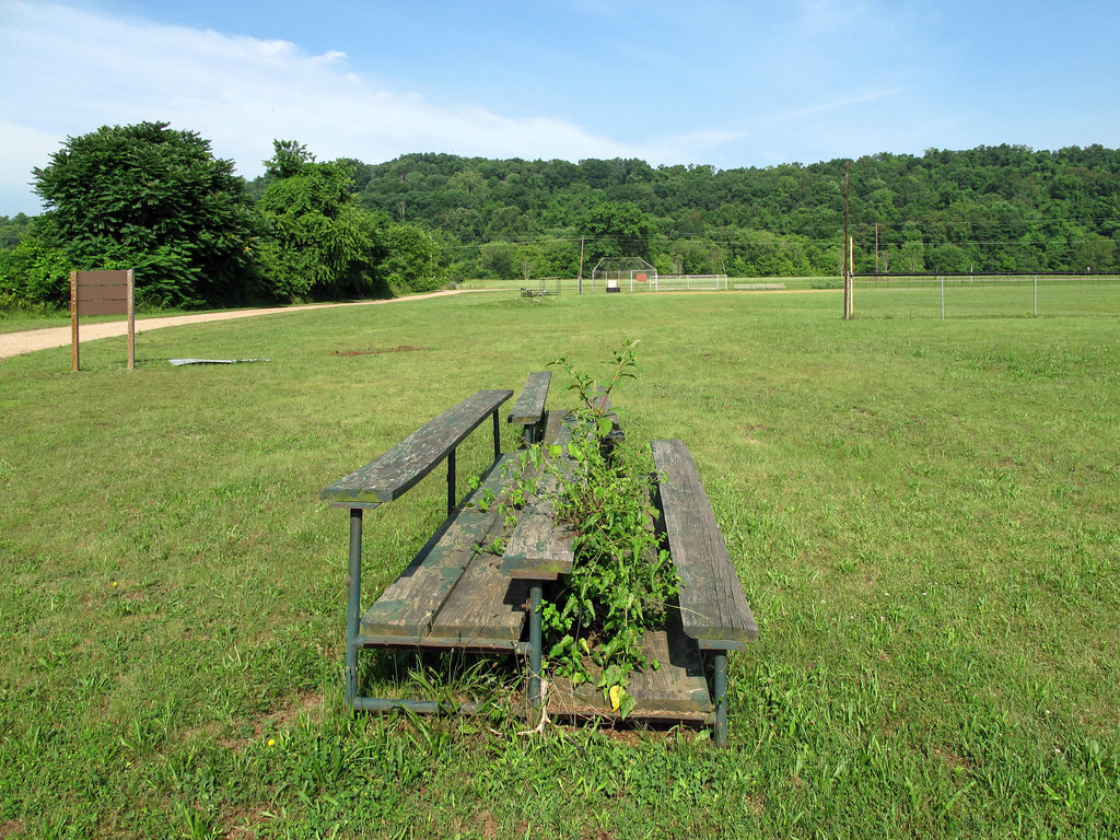
Unwanted weeds growing up between people's legs.
View from the Sun Toward the Planets
View from Indian Mound 8-28-2005 Photo
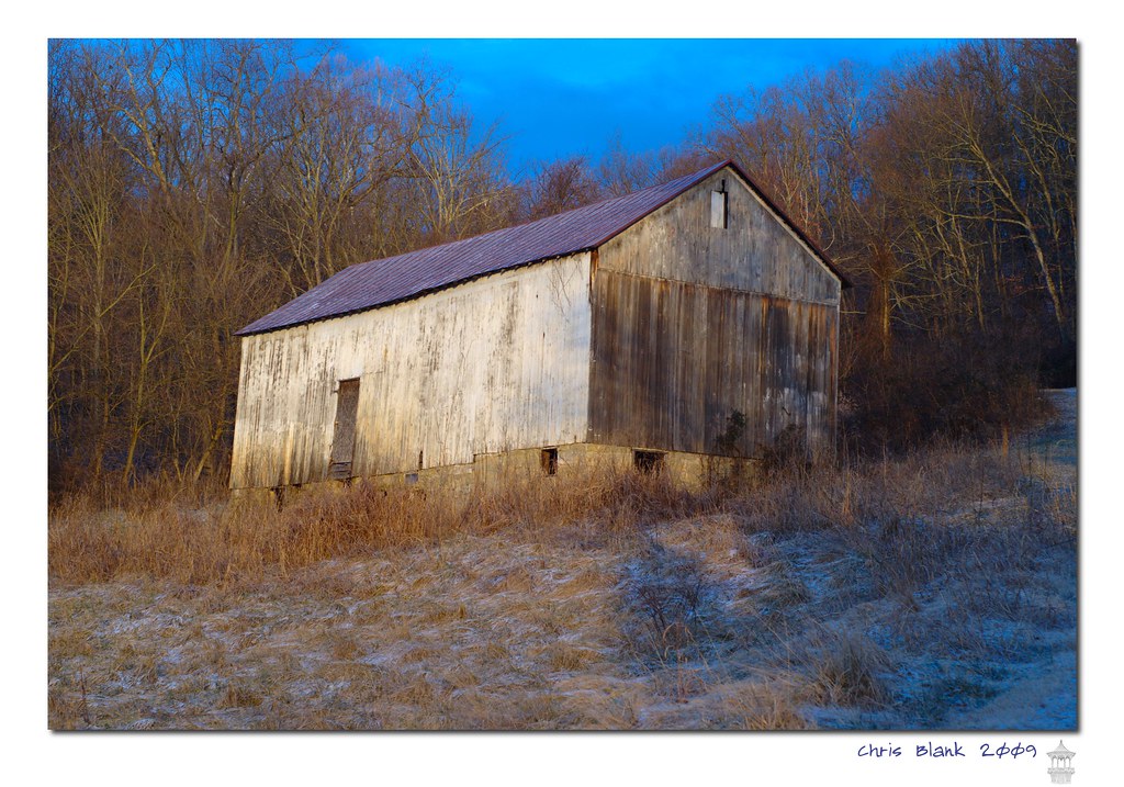
Syracuse Barn
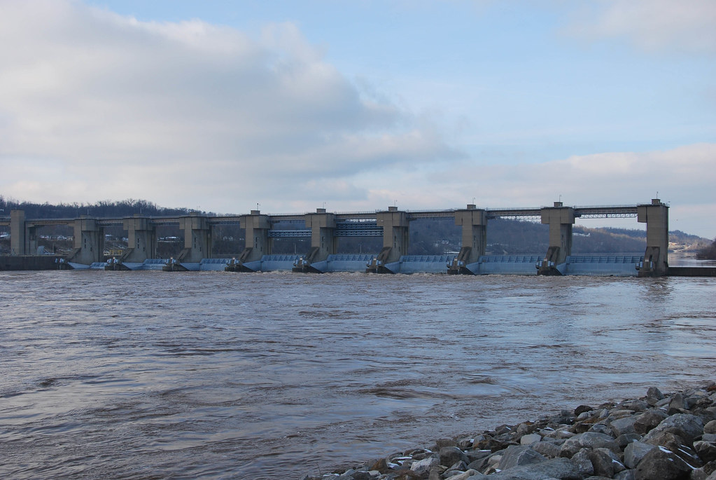
Belleville Locks & Dam
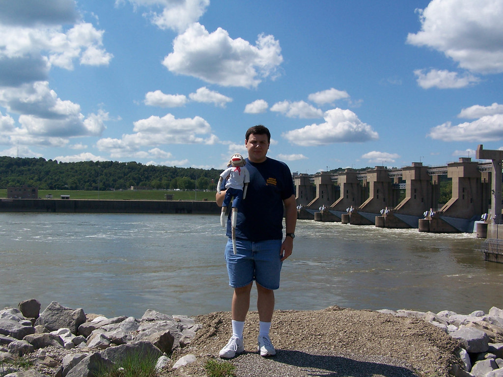
Belleville Locks & Dam
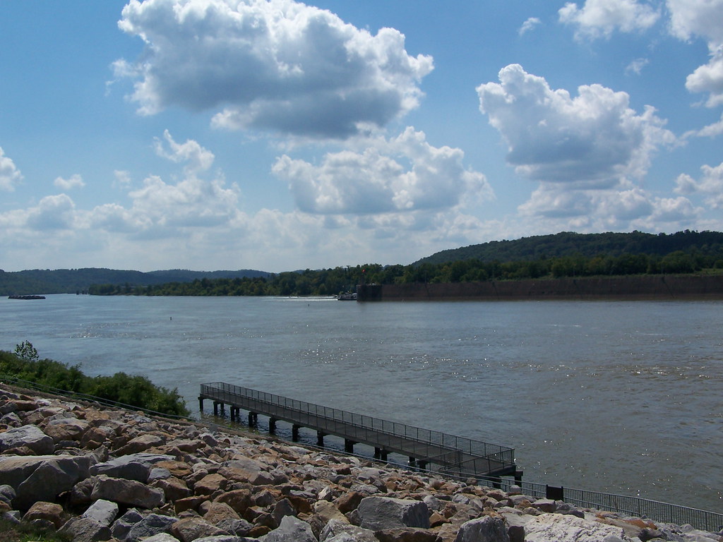
Ohio River Downstream of Belleville Locks & Dam

Ohio River Downstream of Belleville Locks & Dam

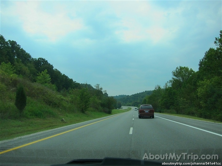
Back in Ohio
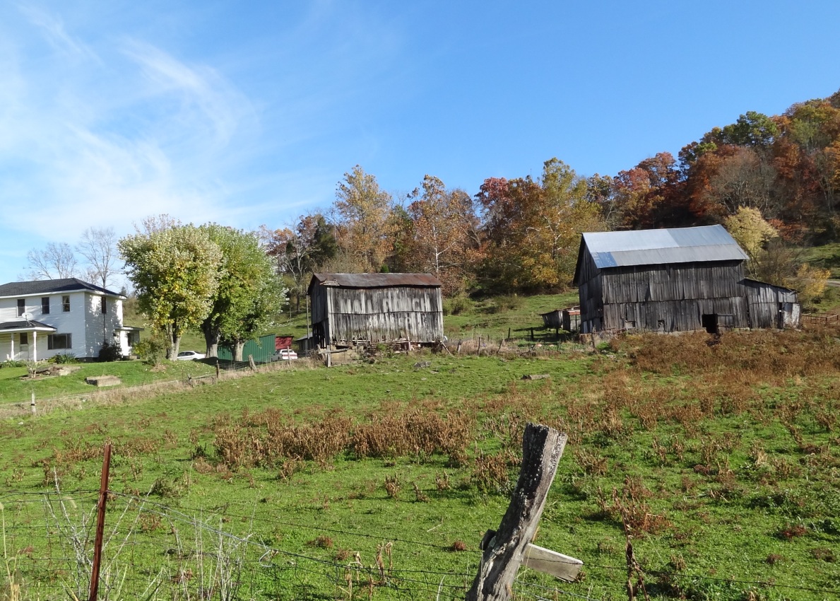
MPB 35-53-02, Meigs County, Ohio
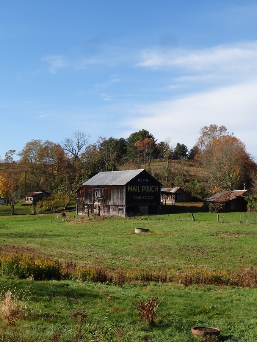
MPB 35-53-01, Meigs County, Ohio
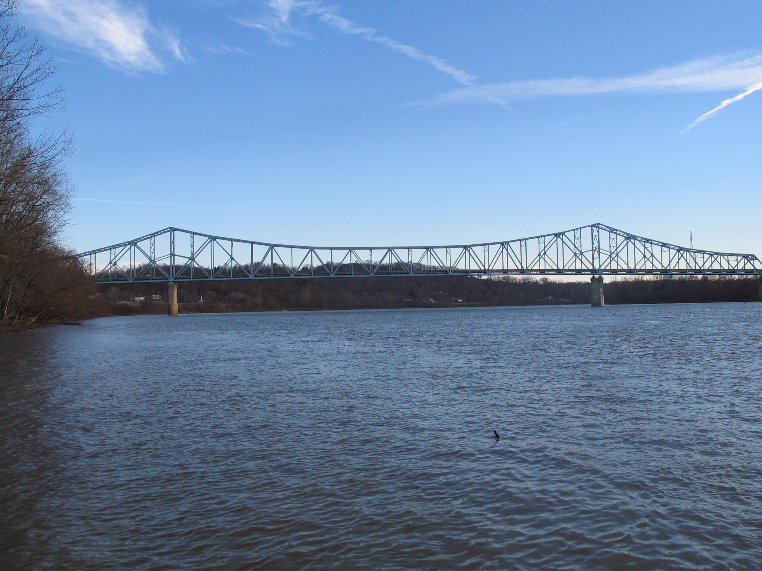
Ravenswood Bridge/US 33 Ravenswood, WV
Ravenswood, WV
Getting a walk in before the rain. #healthy
Abandoned town #abandoned #Cheshire #Ohio

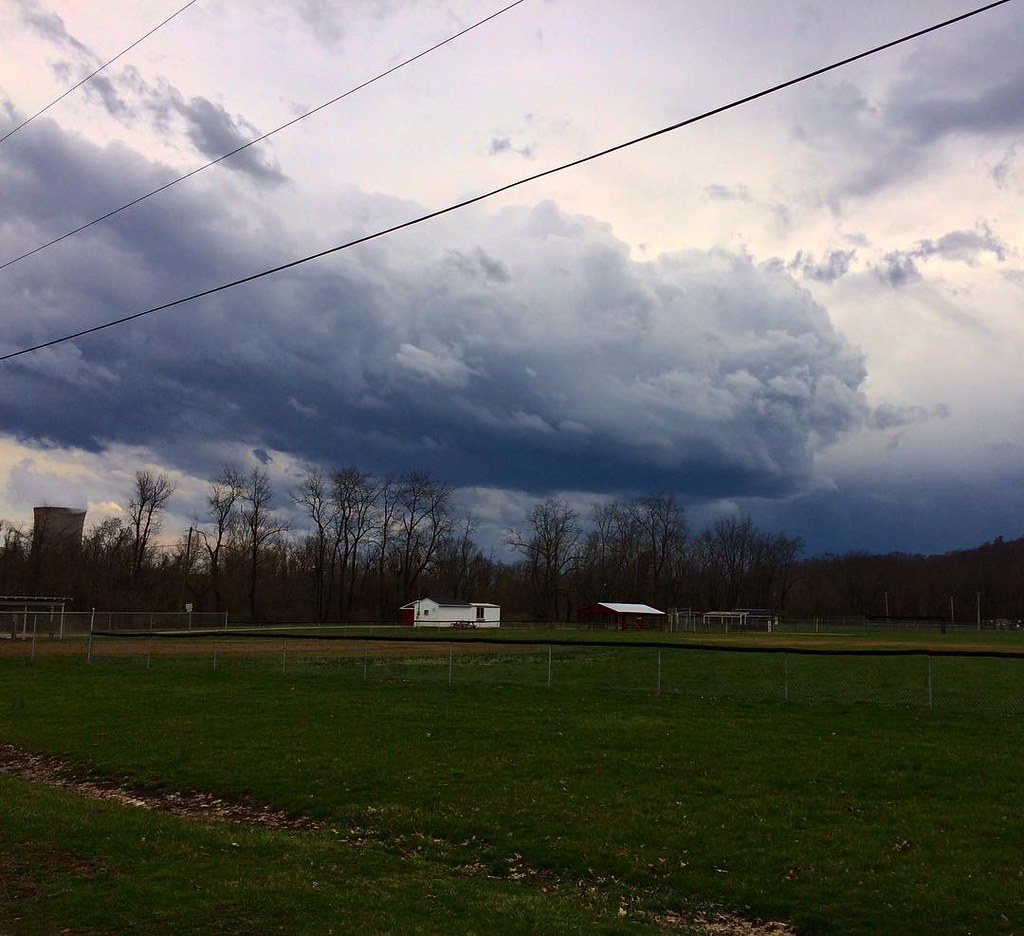
What happened to the pretty white fluffy clouds?!?
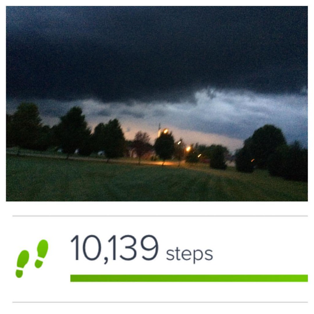
Cutting it close... #steps on the edge of the #storm. #everystepcounts #healthy
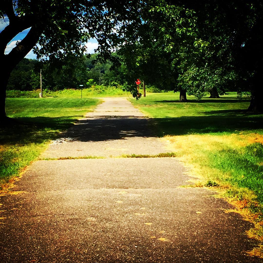
Where the sidewalk ends...
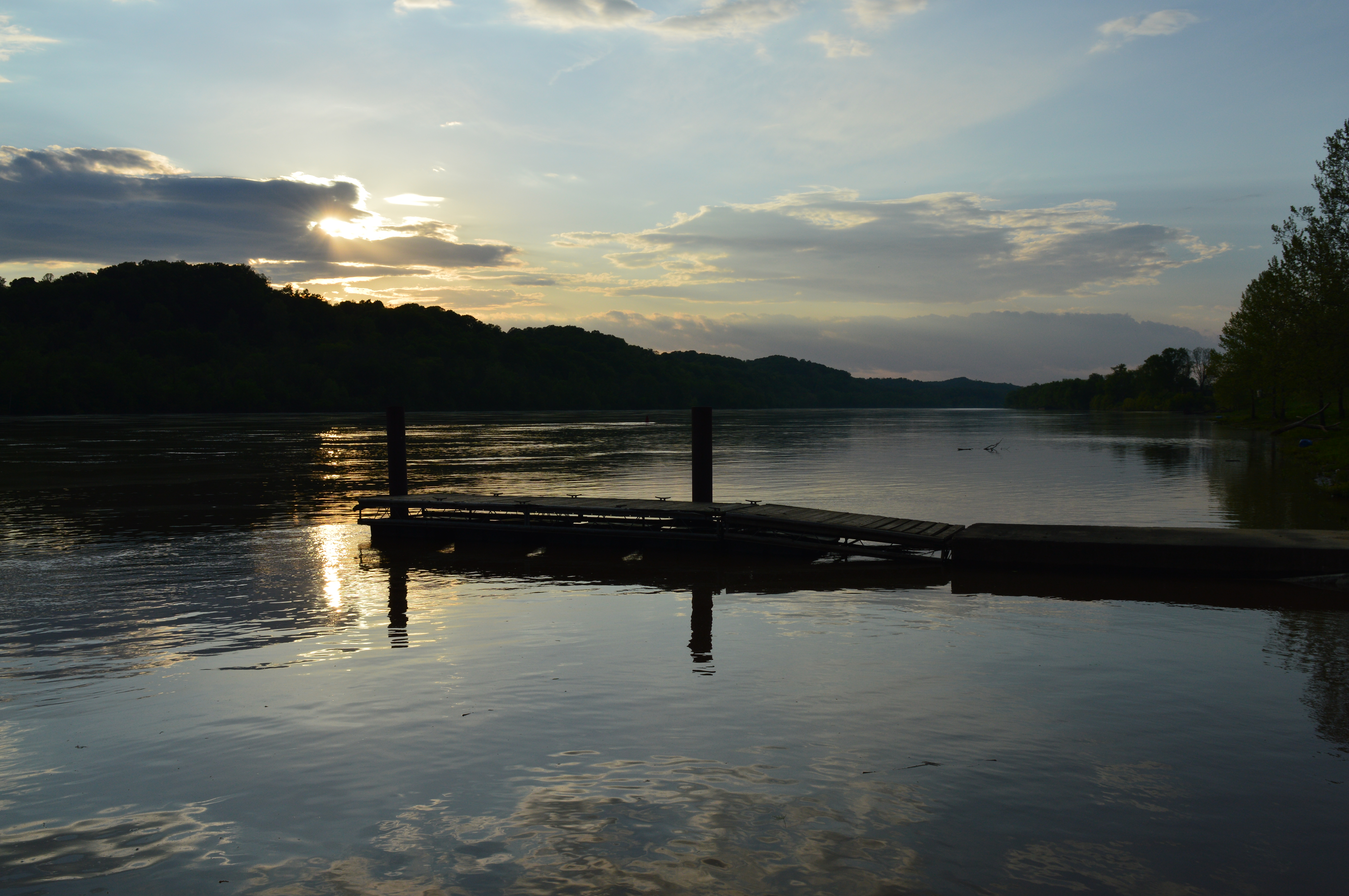
Jackson County, West Virginia
Jackson County, West Virginia
Jackson County, West Virginia
Topographic Map of Mt Olive Rd, Long Bottom, OH, USA
Find elevation by address:

Places near Mt Olive Rd, Long Bottom, OH, USA:
Ohio River Hill Rd, Ravenswood, WV, USA
Olive Township
Chester Township
Ravenswood Rd, Belleville, WV, USA
OH-, Pomeroy, OH, USA
54435 Eden Ridge Rd
Meigs
Sutton Township
Harris
Ohio River Scenic Byway, Racine, OH, USA
822 Elm St
Ravenswood, WV, USA
Elm St, Racine, OH, USA
Racine
309 5th St
303 3rd St
Troy Township
Washington St, Ravenswood, WV, USA
Ravenswood
859 Century Road
Recent Searches:
- Elevation of Elwyn Dr, Roanoke Rapids, NC, USA
- Elevation of Congressional Dr, Stevensville, MD, USA
- Elevation of Bellview Rd, McLean, VA, USA
- Elevation of Stage Island Rd, Chatham, MA, USA
- Elevation of Shibuya Scramble Crossing, 21 Udagawacho, Shibuya City, Tokyo -, Japan
- Elevation of Jadagoniai, Kaunas District Municipality, Lithuania
- Elevation of Pagonija rock, Kranto 7-oji g. 8"N, Kaunas, Lithuania
- Elevation of Co Rd 87, Jamestown, CO, USA
- Elevation of Tenjo, Cundinamarca, Colombia
- Elevation of Côte-des-Neiges, Montreal, QC H4A 3J6, Canada