Elevation of Mt Eden Rd, Lawrenceburg, KY, USA
Location: United States > Kentucky > Anderson County > Lawrenceburg >
Longitude: -85.067080
Latitude: 38.0044389
Elevation: 183m / 600feet
Barometric Pressure: 99KPa
Elevation Map:
Satellite Map:
Related Photos:

Lawrenceburg, KY FD
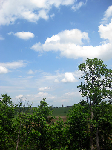
View from Fox Creek Cemetery
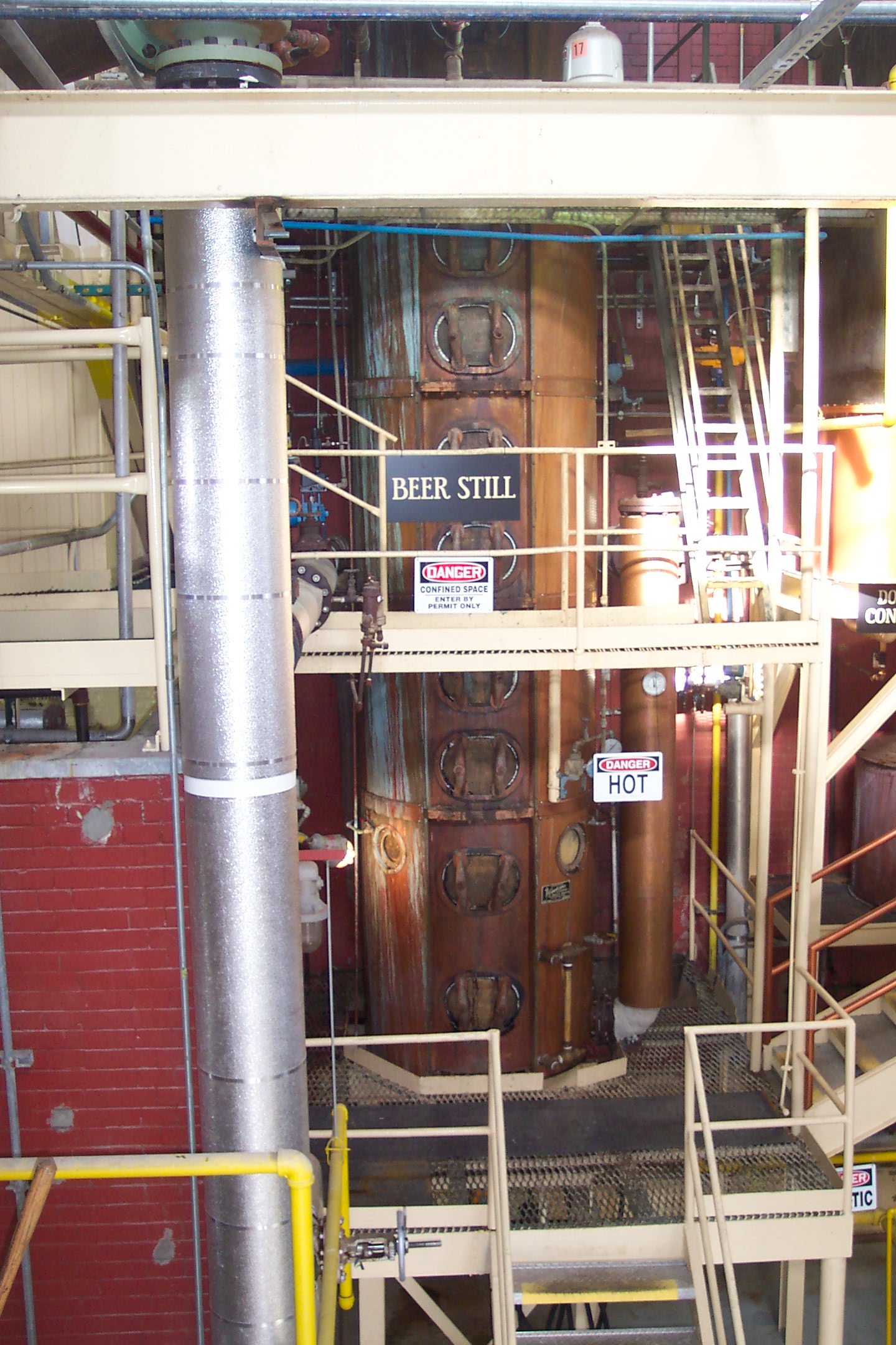
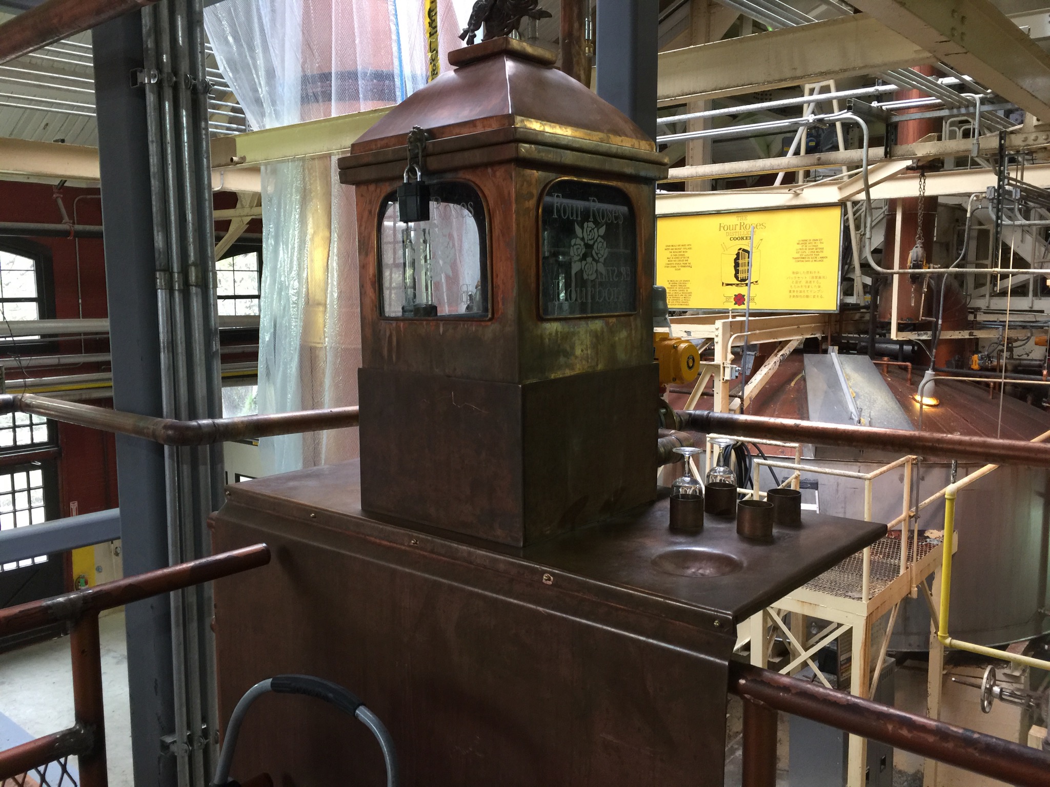
Beer Still
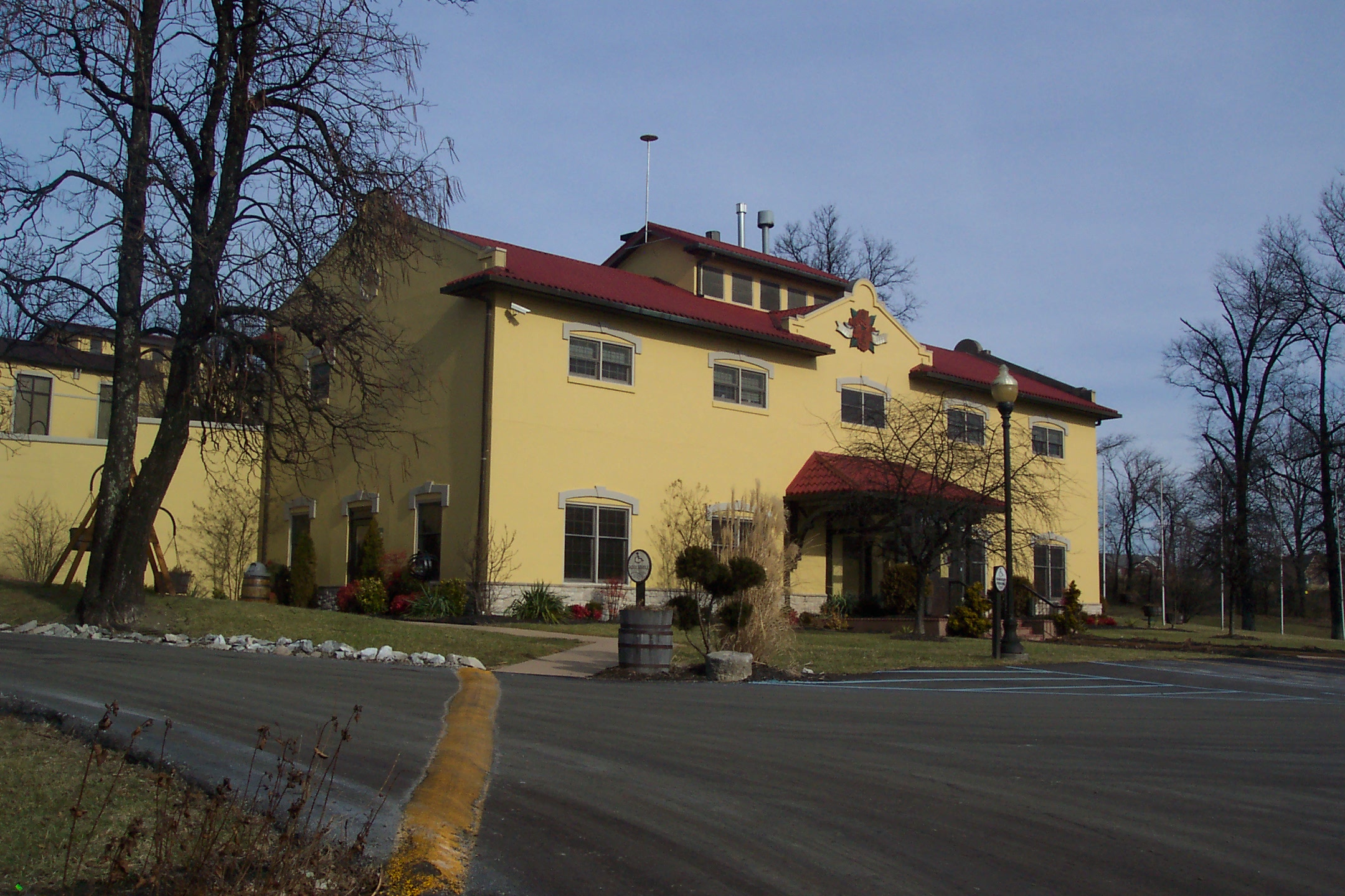
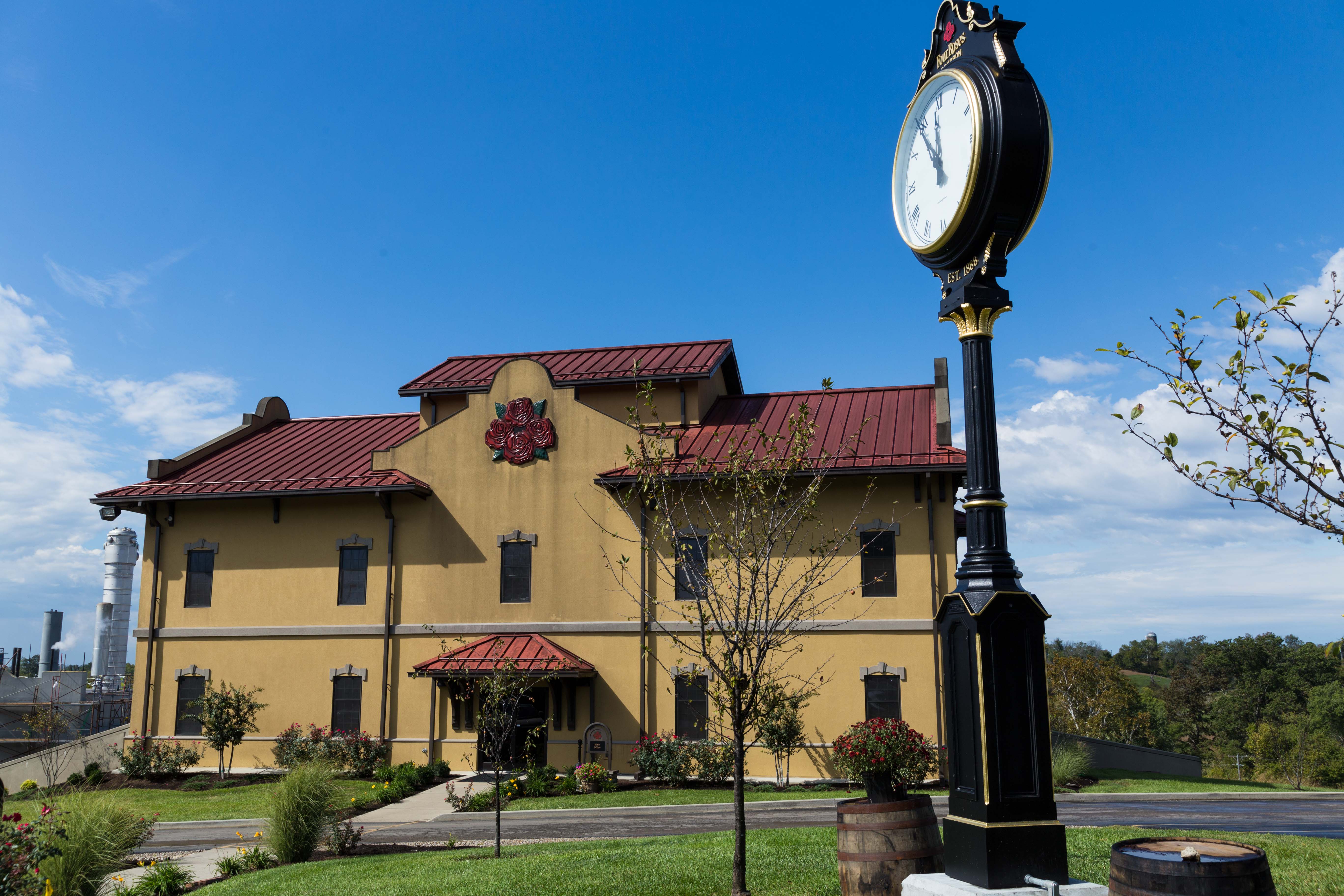
Main Building
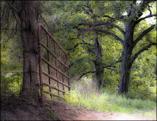
Gateway to a Dream
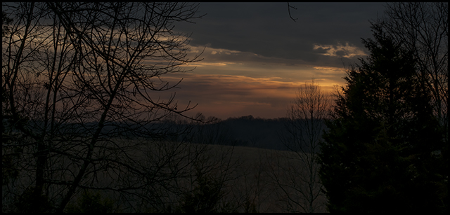
Kentucky Dawn
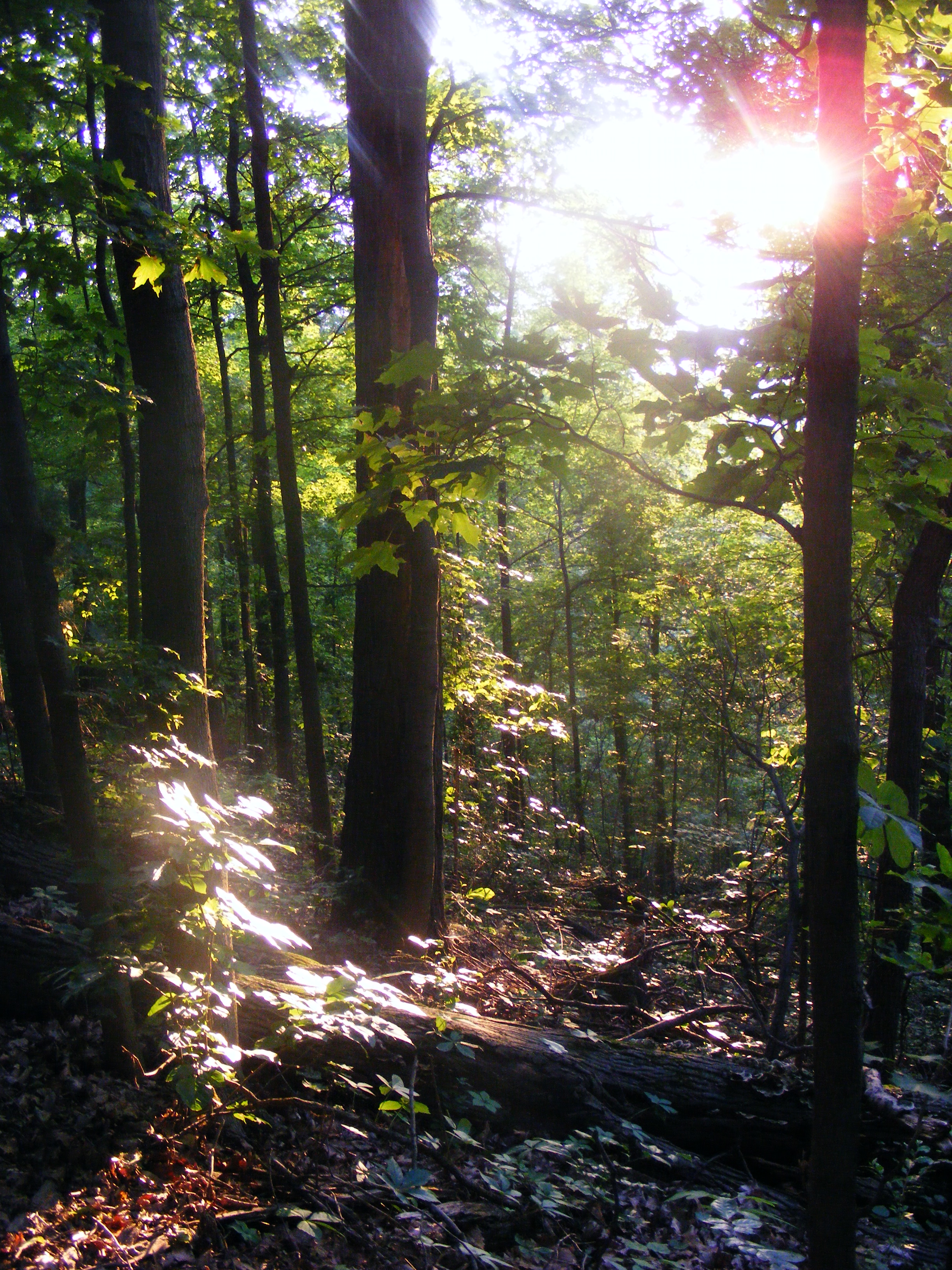
Late May at Jefferson Memorial Forest

20150709-RBI_9361
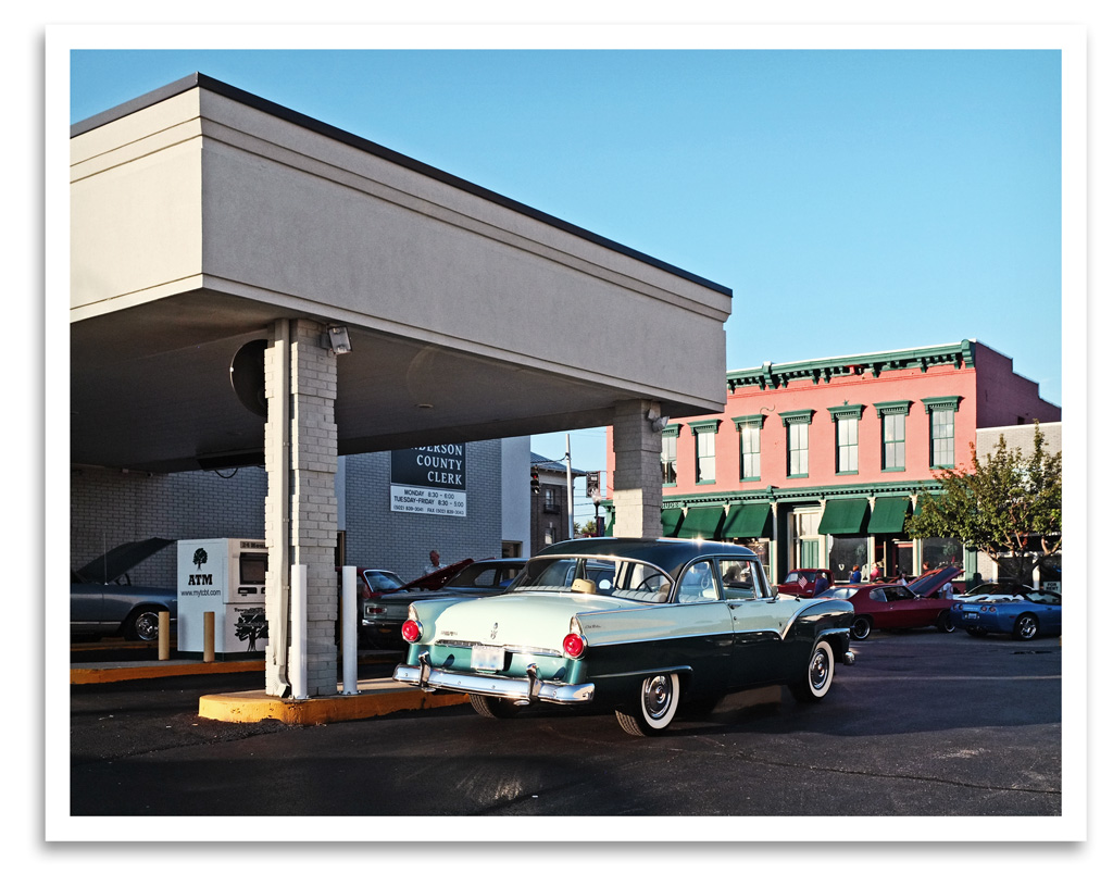
Bank on It

Where Were You?

Four Roses tasting room
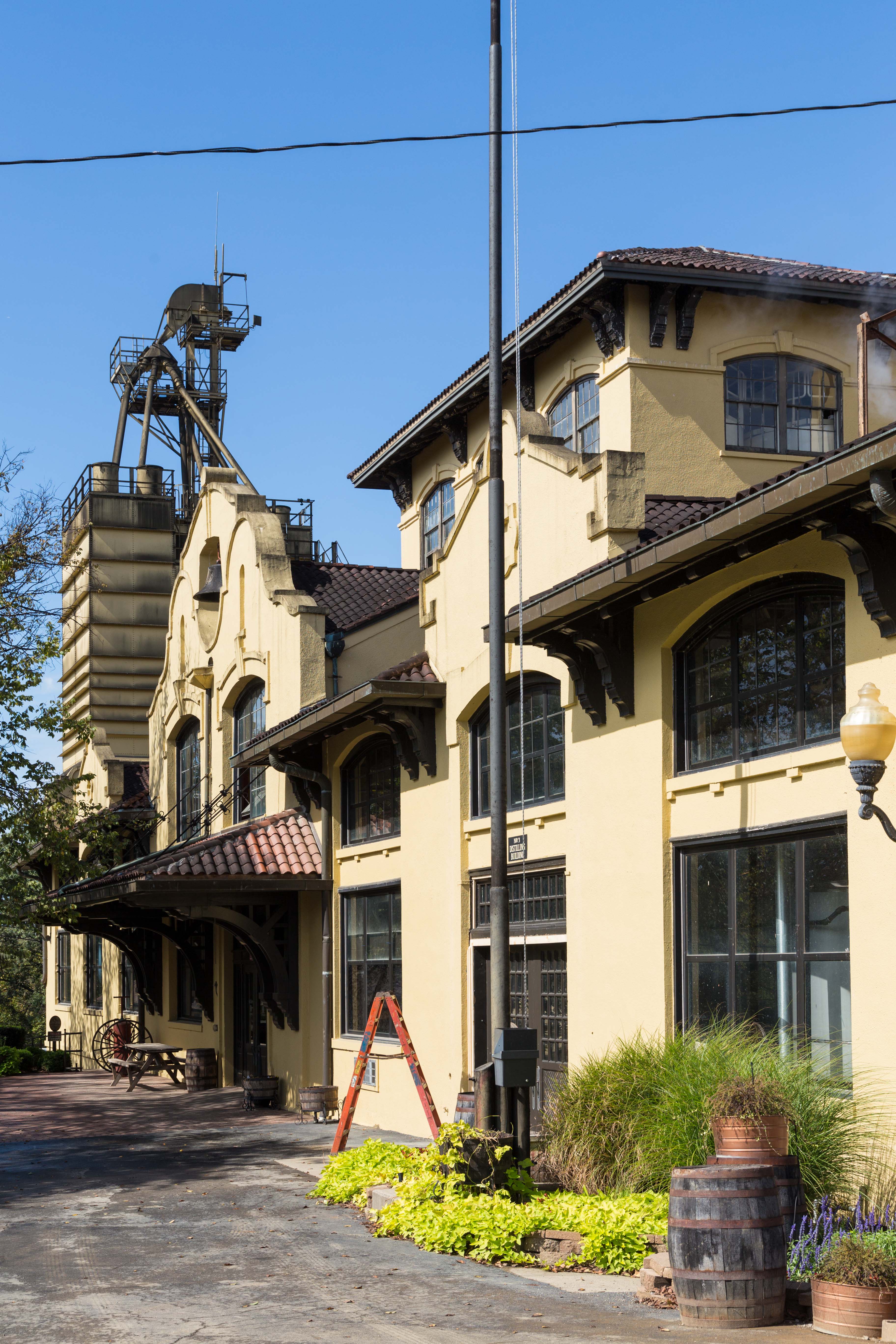
Four Roses Distillery tour
2016-11-18_01-35-16

2016-11-18_01-34-42

2016-11-18_01-34-11

2016-11-18_01-33-51

2016-11-18_01-33-18

2016-11-18_01-32-30
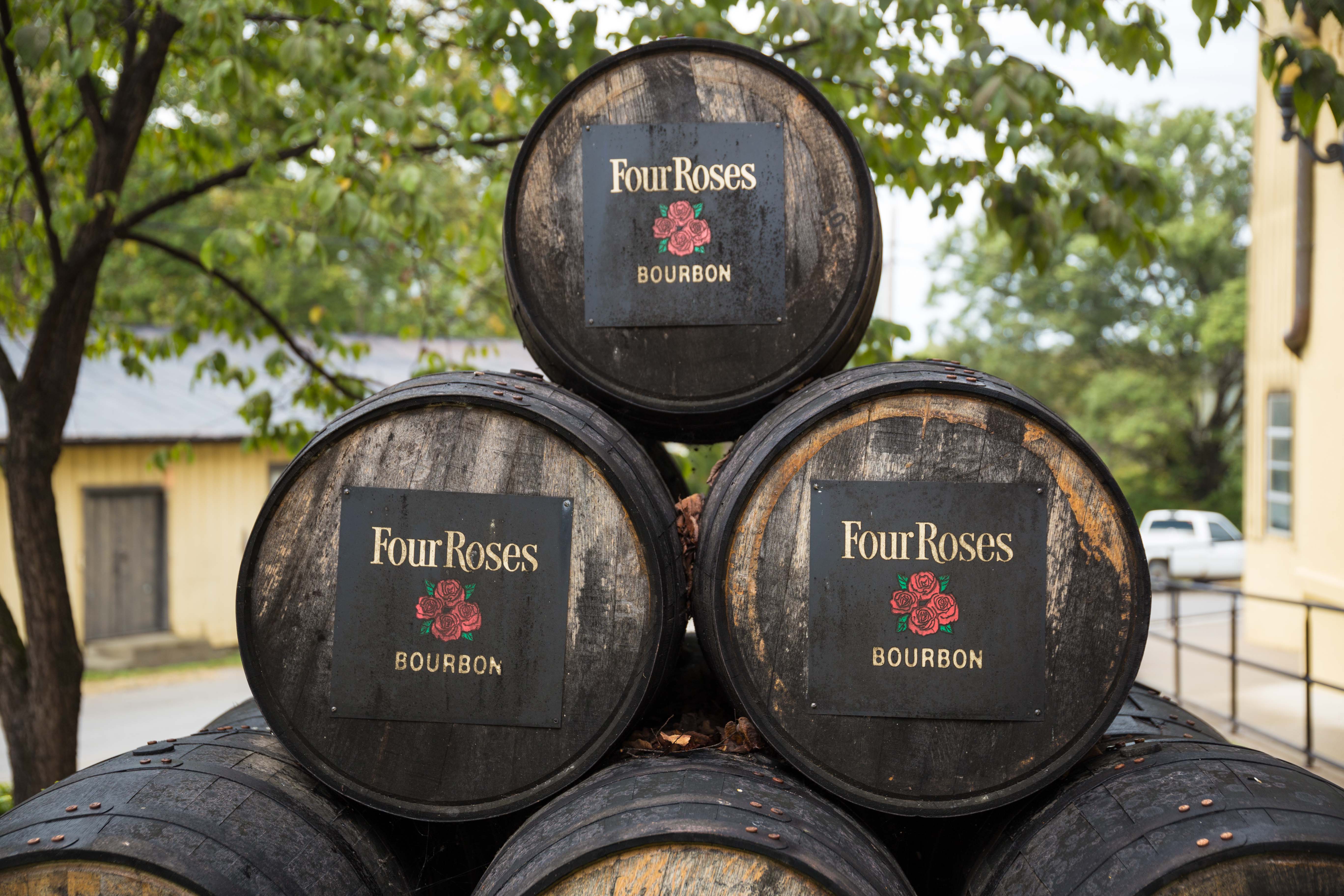
FourRosesBourbon-3
FourRosesBourbon-2
FourRosesBourbon-1
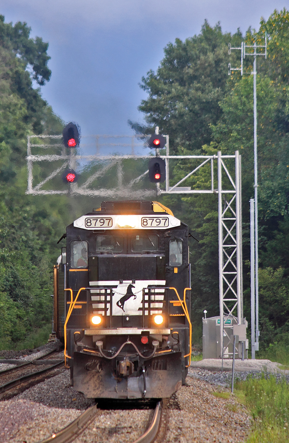
A storm is brewing to the East as 276 comes under the signals at CP Harrison, Waddy , KY
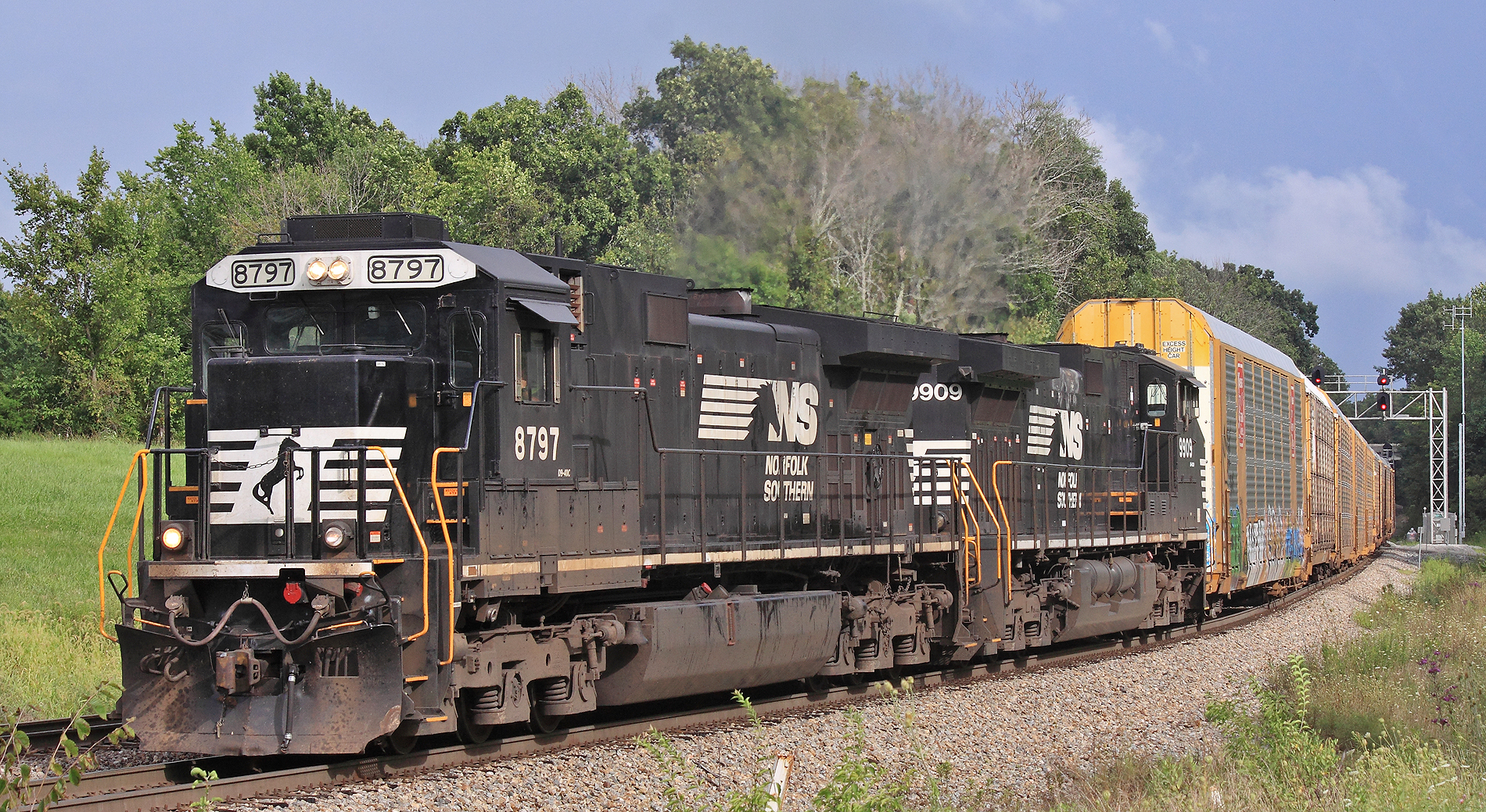
NS 276 crawls into the siding at CP Harrison looking out for 375 ahead. Waddy, KY
Westbound 375 climbs into the siding at CP Harrison, Waddy, KY
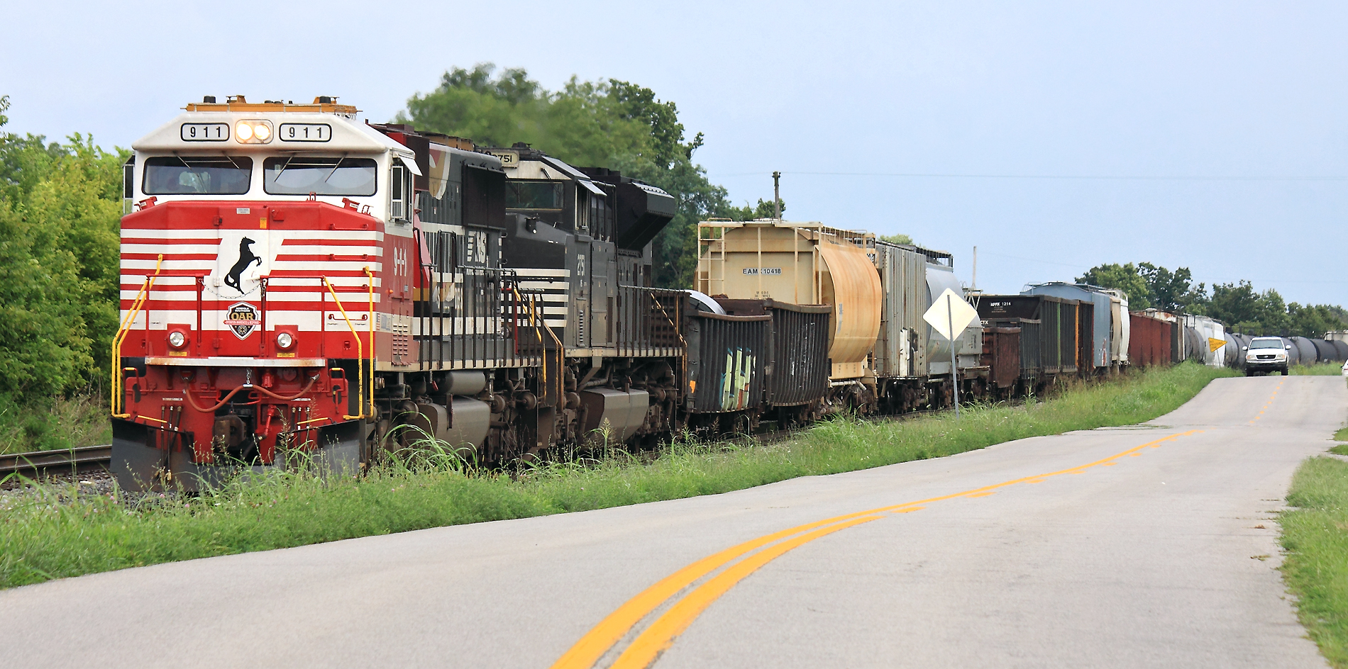
375 in the siding at Waddy, KY
375 in the hole at Waddy, KY
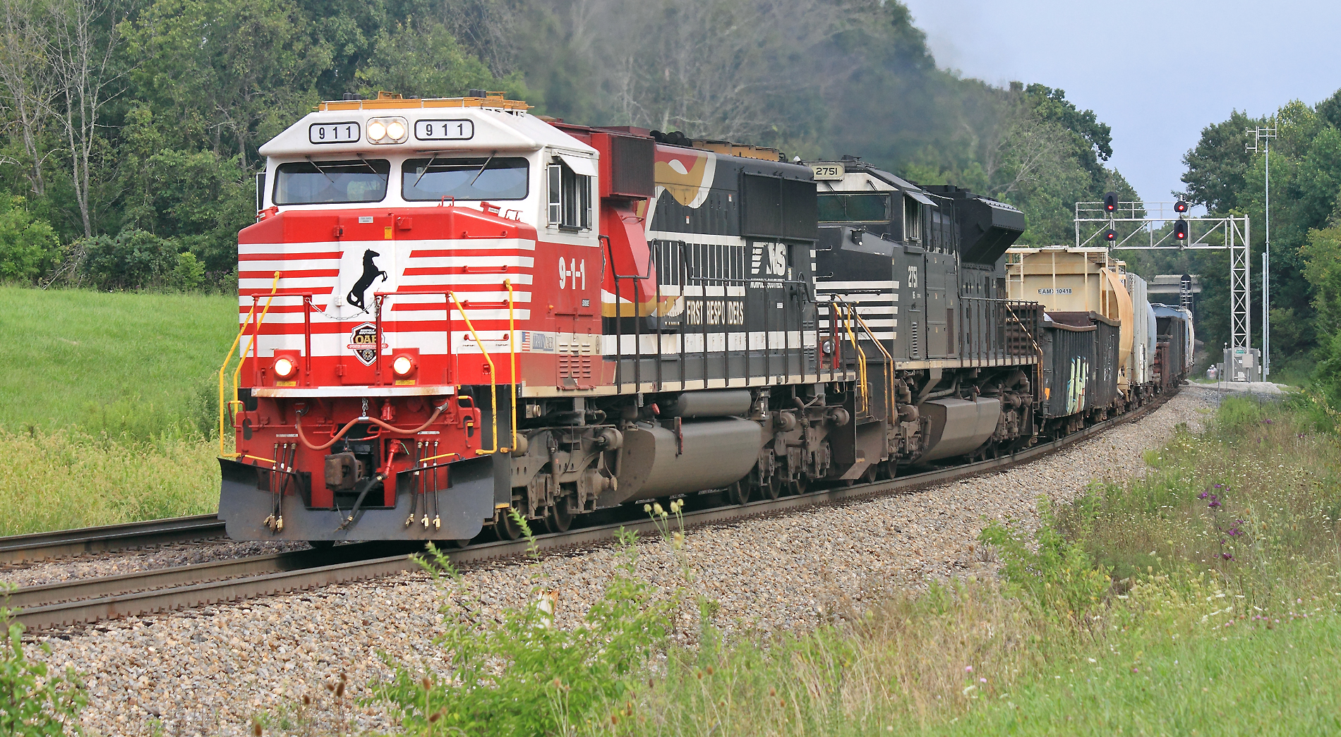
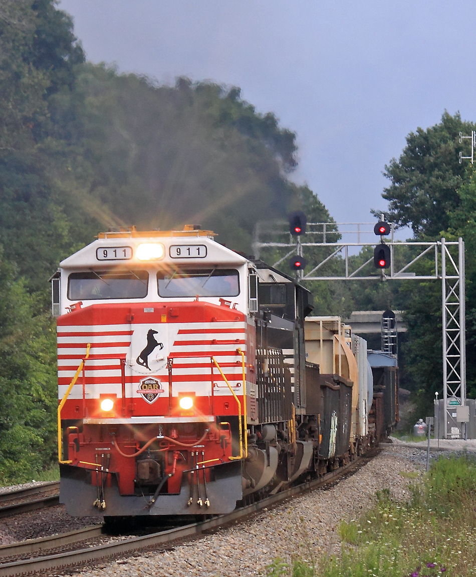
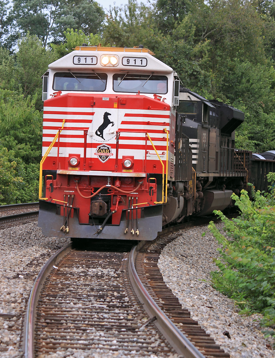
NS 911 leads train 375 into the siding at CP Harrison, Waddy, KY
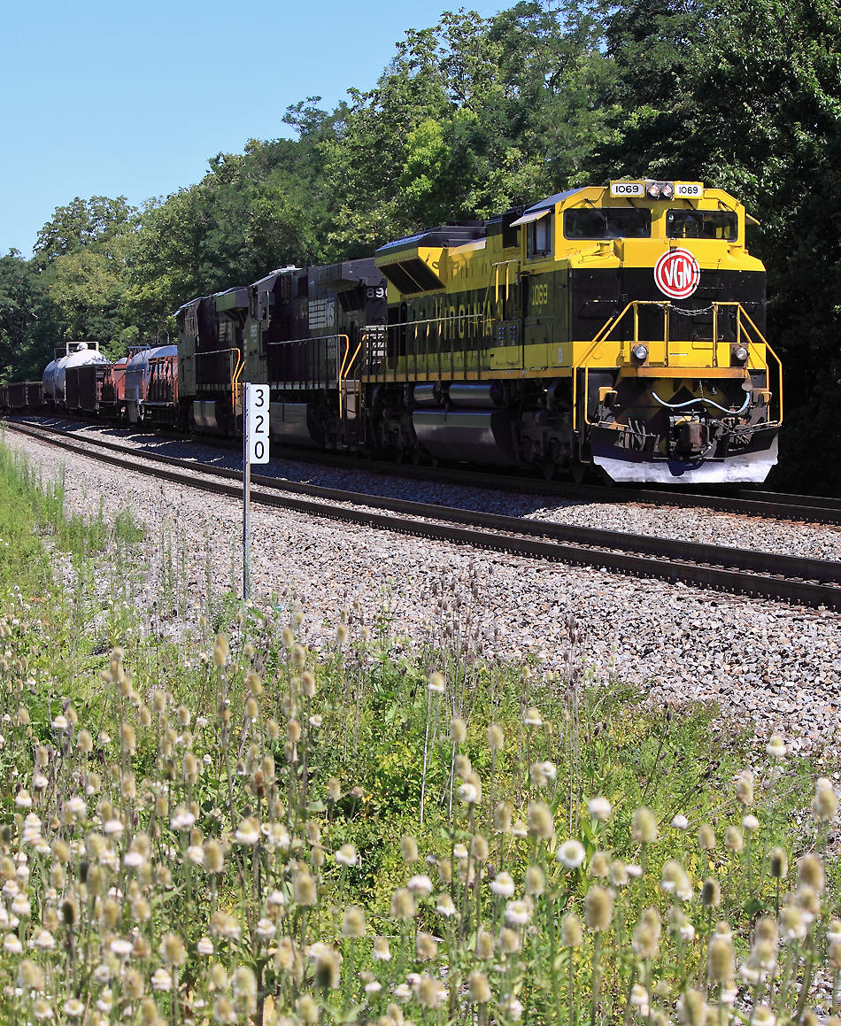
RDG 1067 leads NS 111 at Waddy, KY
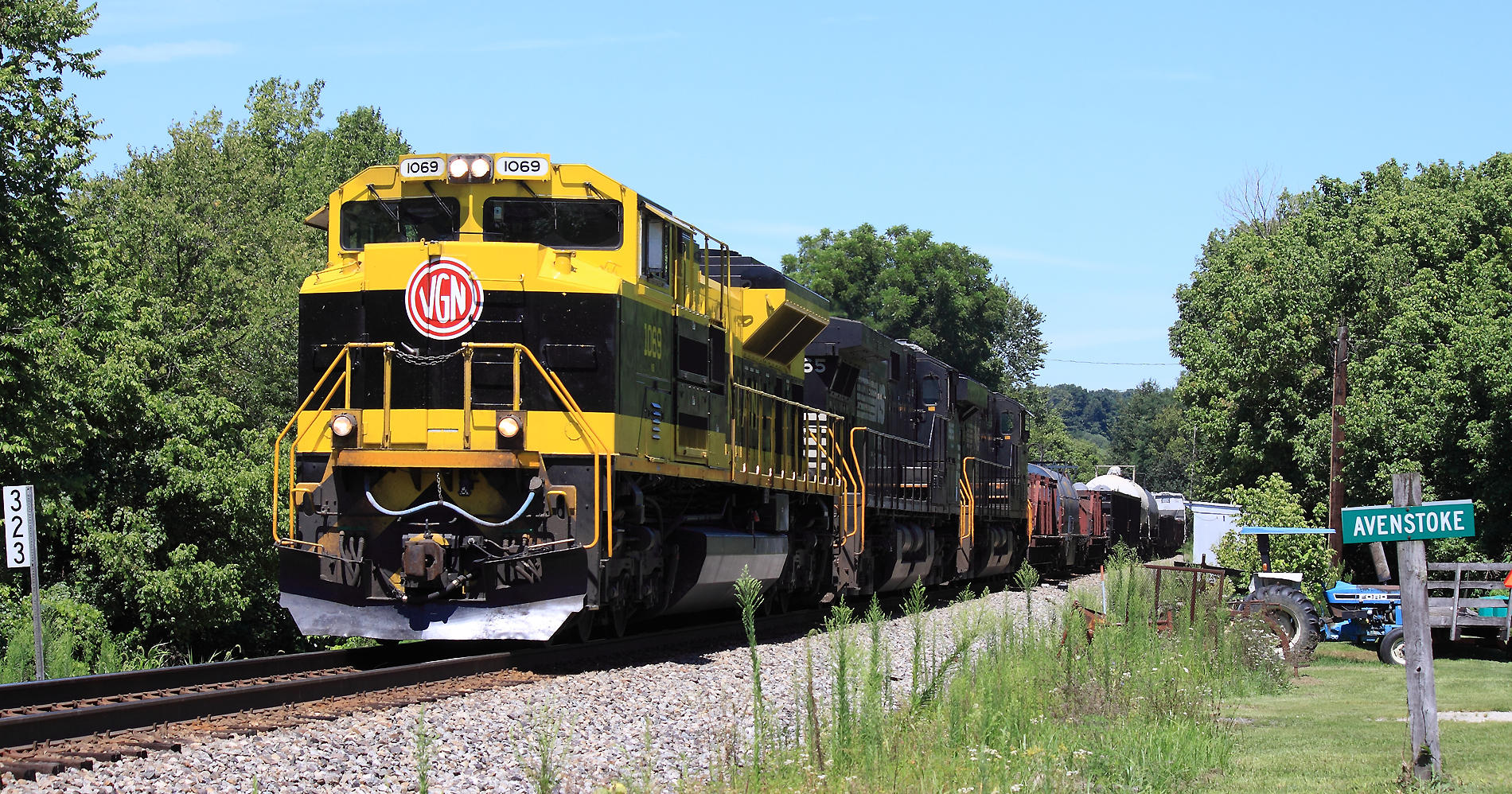
111 Eastbound at Avenstoke, KY
Topographic Map of Mt Eden Rd, Lawrenceburg, KY, USA
Find elevation by address:

Places near Mt Eden Rd, Lawrenceburg, KY, USA:
1280 Mudlick Rd
Timber Creek Rd, Lawrenceburg, KY, USA
Anderson County
Waddy
3450 Briar Creek Dr
Graefenburg Rd, Lawrenceburg, KY, USA
5317 Sleepy Hollow Dr
1011 Edgehill Dr
1298 Denney Dr
1298 Denney Dr
Meriwether Drive
270 Cherry Ln
Lawrenceburg
101 Grant Dr
Pumphouse Road
Hickory Grove Rd, Lawrenceburg, KY, USA
Farmdale Lane
Anderson County Sportsman's Club
2070 Old Joe Rd
Wild Turkey Distillery
Recent Searches:
- Elevation of 72-31 Metropolitan Ave, Middle Village, NY, USA
- Elevation of 76 Metropolitan Ave, Brooklyn, NY, USA
- Elevation of Alisal Rd, Solvang, CA, USA
- Elevation of Vista Blvd, Sparks, NV, USA
- Elevation of 15th Ave SE, St. Petersburg, FL, USA
- Elevation of Beall Road, Beall Rd, Florida, USA
- Elevation of Leguwa, Nepal
- Elevation of County Rd, Enterprise, AL, USA
- Elevation of Kolchuginsky District, Vladimir Oblast, Russia
- Elevation of Shustino, Vladimir Oblast, Russia