Elevation of Mt Bullion Cut Off Rd, Catheys Valley, CA, USA
Location: United States > California > Mariposa County > Catheys Valley >
Longitude: -120.05918
Latitude: 37.480919
Elevation: 686m / 2251feet
Barometric Pressure: 93KPa
Elevation Map:
Satellite Map:
Related Photos:

Ominous Sky

Looking Up a Hillside of Trees and Grassy Meadows

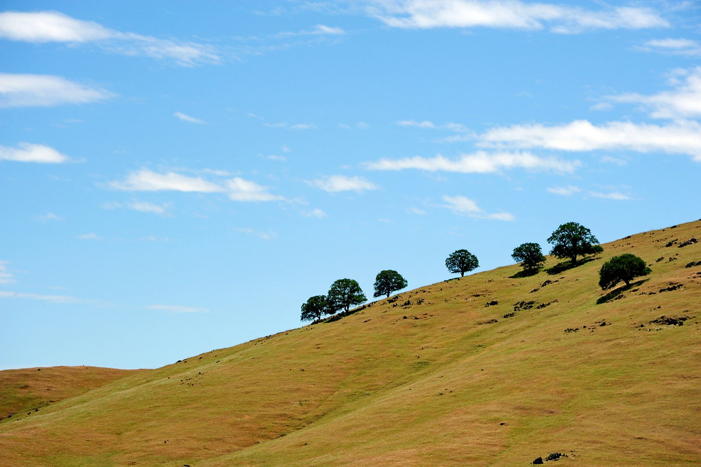
Greens of Tree Leaves on the California Hillsides
St. Joseph's Church, Mariposa

A man paints with his brains and not with his hands…

Cruising for Burgers

Spring Flowers

yosemite from 30 miles

Camino de SF, California

Self Portrait

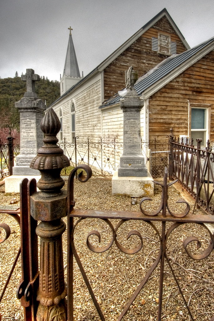
Cemetery, Mariposa
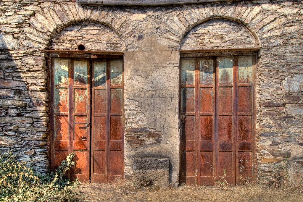
Rusty Doors

Sortie de Route / Catheys Valley - Californie

Largest Menu in the Sierra

I've been eyeing this bridge for the past year finding a good day to fly by it. Well I was able to take my drone to work and was finally able to do it. This is the William Sell Bridge and it was built in 1972. It overlooks a beautiful view of the Sierras,

Hornitos Shack and Barn

The White Church, Hornitos, California

View From The Coast to Yosemite NP
View From The Coast to Yosemite NP
Bad weather always looks worse through a window…

Trip to Yosemite 132

Hornitos Road, Morning in the Forest #2A
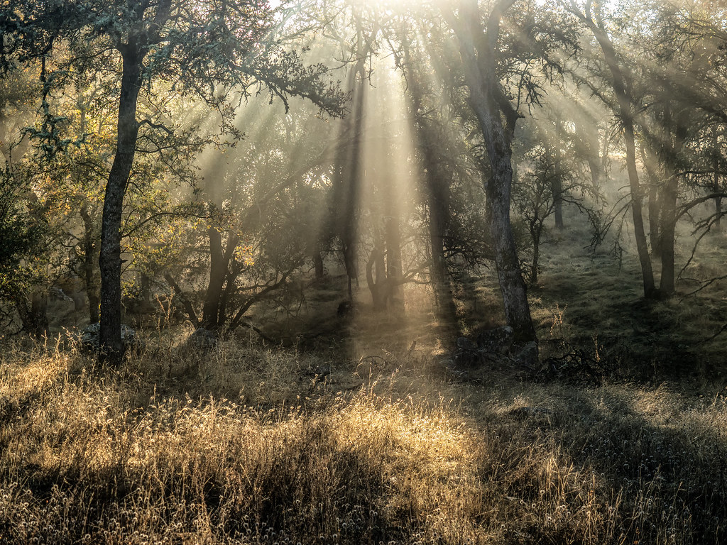
Hornitos Road, Morning in the Forest

Hornitos Road Oak, Fog #3

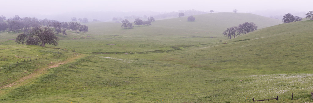
Catheys Valley, California

Sierra Nevada 2017.

Hornitos Road Oak, Fog #1

In the Foothills, Merced County, #2

USA Best Of - 136
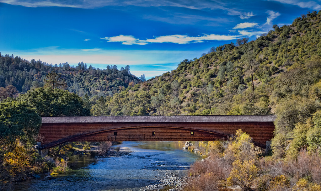
The Covered Bridge at Bridgeport

Yosemite 2016-04-0032.jpg

USA Best Of - 137
Sometimes we need the fog to remind ourselves that all of life is not black and white…

Yosemite 2016-04-0030.jpg

USA Best Of - 194

USA Best Of - 132

USA Best Of - 035
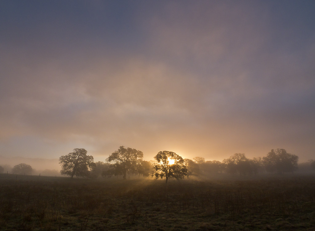
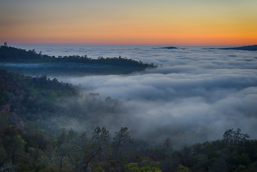
#2 Oaks in Sunrise Fog, Cathy's Valley, CA 140

USA Best Of - 195
Topographic Map of Mt Bullion Cut Off Rd, Catheys Valley, CA, USA
Find elevation by address:

Places near Mt Bullion Cut Off Rd, Catheys Valley, CA, USA:
3269 Ca-140
3631 Guadalupe Creek Rd
Mt Bullion Cutoff Rd, Mariposa, CA, USA
Meherana
4974 Princeton Way
Agua Fria
4955 Yaqui Gulch Rd
4990 Yaqui Gulch Rd
4049 Guadalupe Creek Rd
4078 Live Oak Rd
4857 Yaqui Gulch Rd
Cya Road
5630 Bear Trap Dr
5586 Ca-49 #5586a
4576 Jeannine Ln
4922 Paso Del Oso
5588 Bear Trap Dr
3292 Blue Oak Dr
4558 Yaqui Gulch Rd
4158 Lakeview Dr
Recent Searches:
- Elevation of Foligno, Province of Perugia, Italy
- Elevation of Blauwestad, Netherlands
- Elevation of Bella Terra Blvd, Estero, FL, USA
- Elevation of Estates Loop, Priest River, ID, USA
- Elevation of Woodland Oak Pl, Thousand Oaks, CA, USA
- Elevation of Brownsdale Rd, Renfrew, PA, USA
- Elevation of Corcoran Ln, Suffolk, VA, USA
- Elevation of Mamala II, Sariaya, Quezon, Philippines
- Elevation of Sarangdanda, Nepal
- Elevation of 7 Waterfall Way, Tomball, TX, USA