Elevation of Mt. Asama, Karuizawa, Kitasaku District, Nagano Prefecture, Japan
Location: Japan > Nagano Prefecture > Karuizawa > Ko > 4766 Kō >
Longitude: 138.5225
Latitude: 36.4058333
Elevation: 2548m / 8360feet
Barometric Pressure: 0KPa
Related Photos:
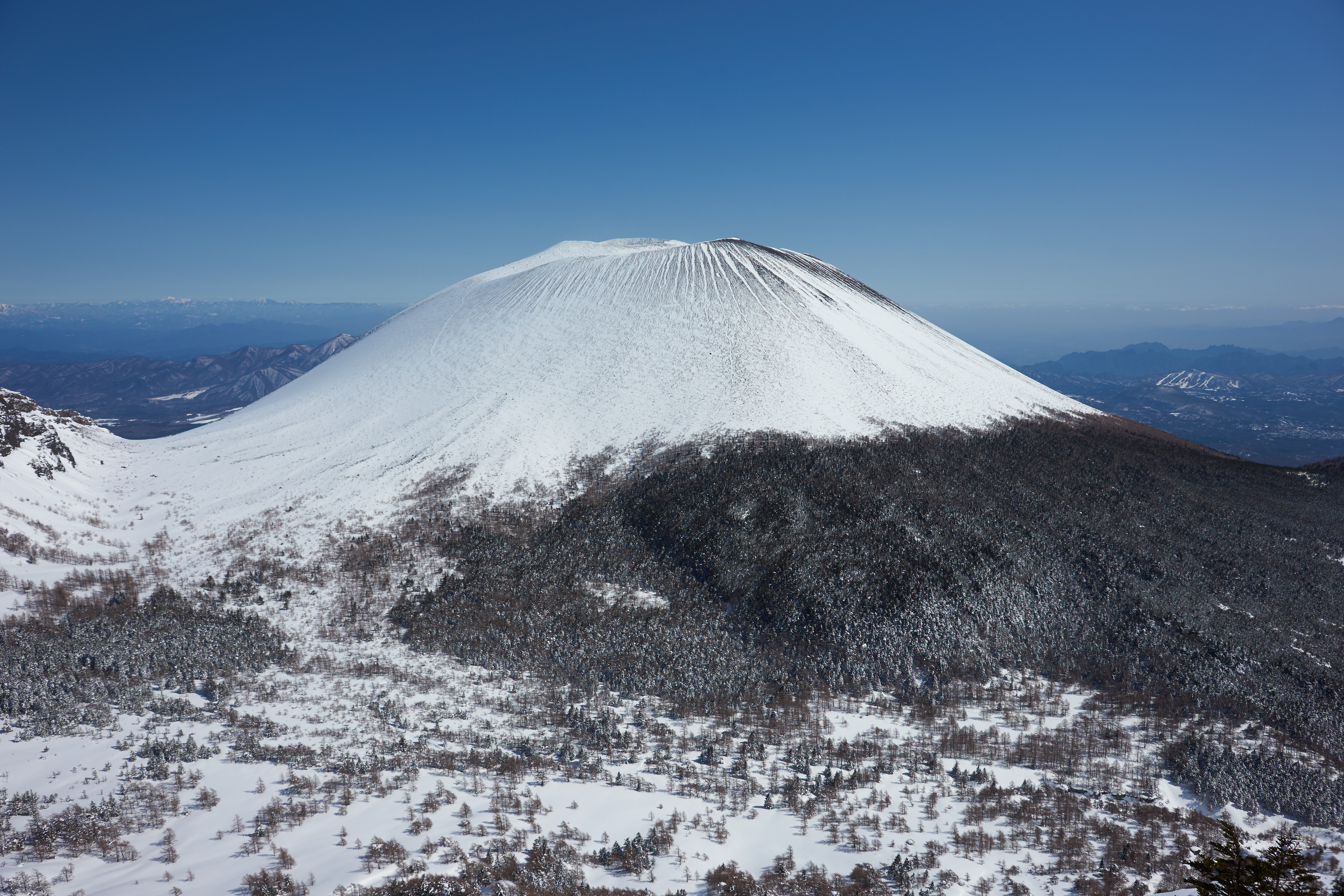
Mt.Asama
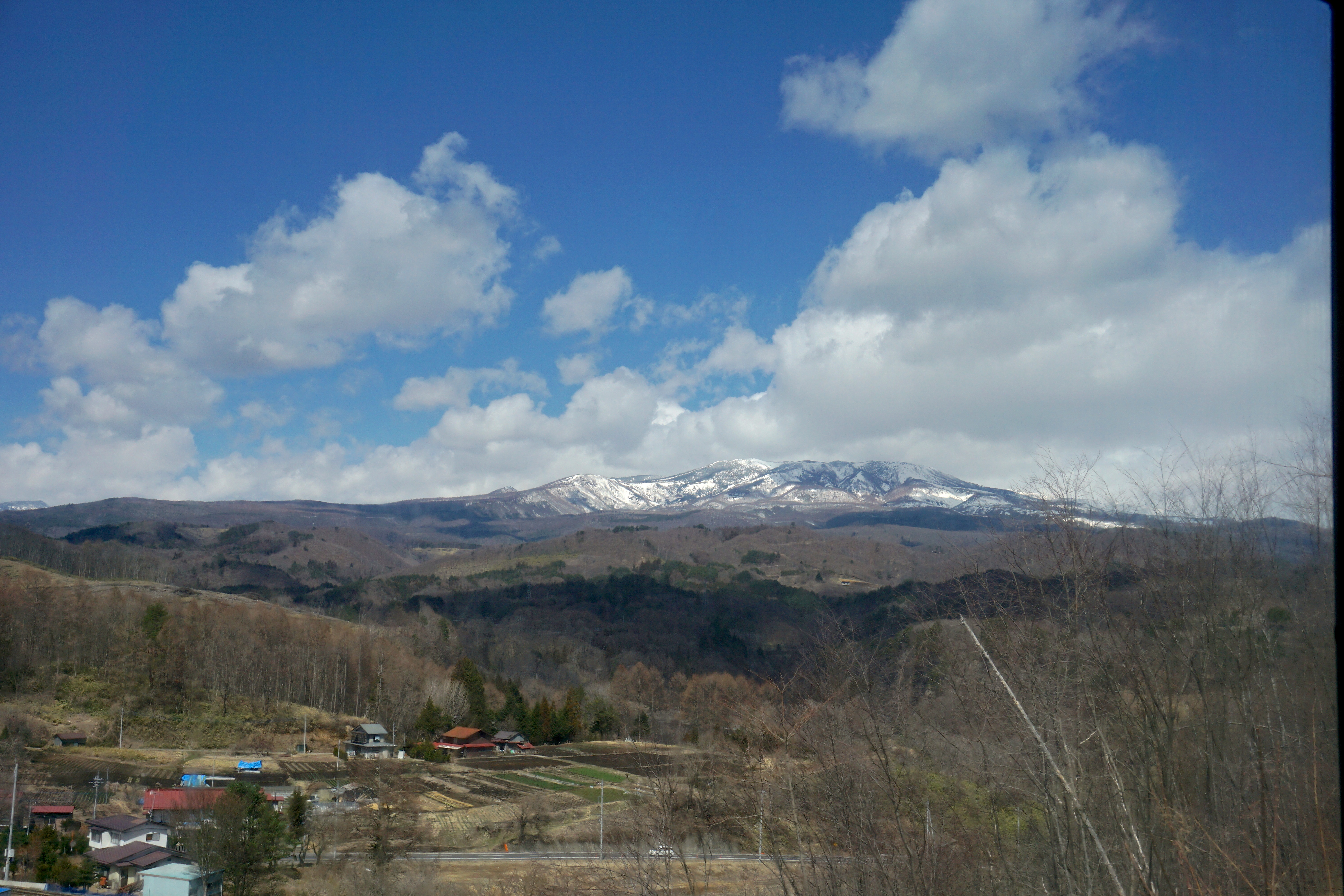
Japanese Peaks 1
View of Mount Asama
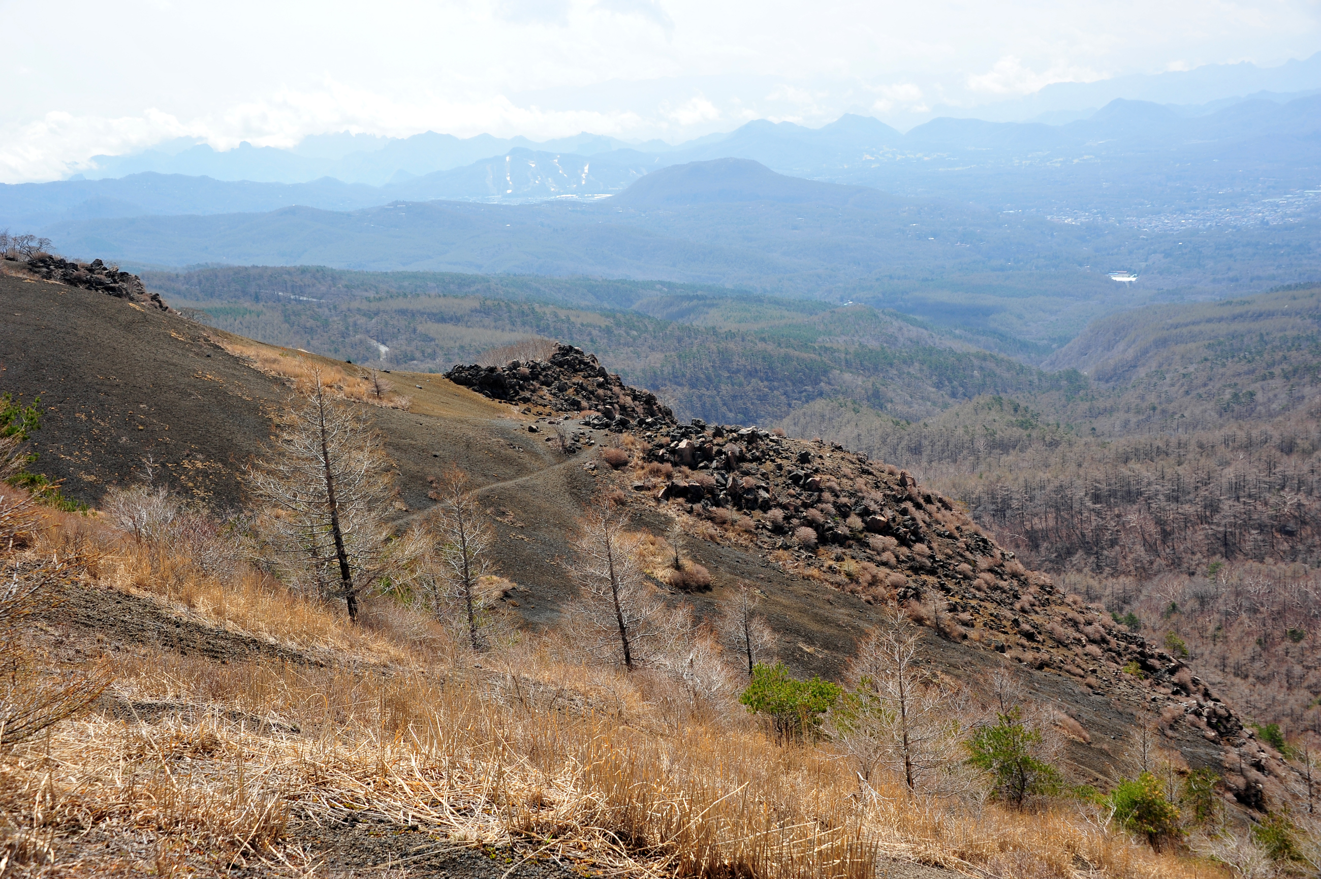
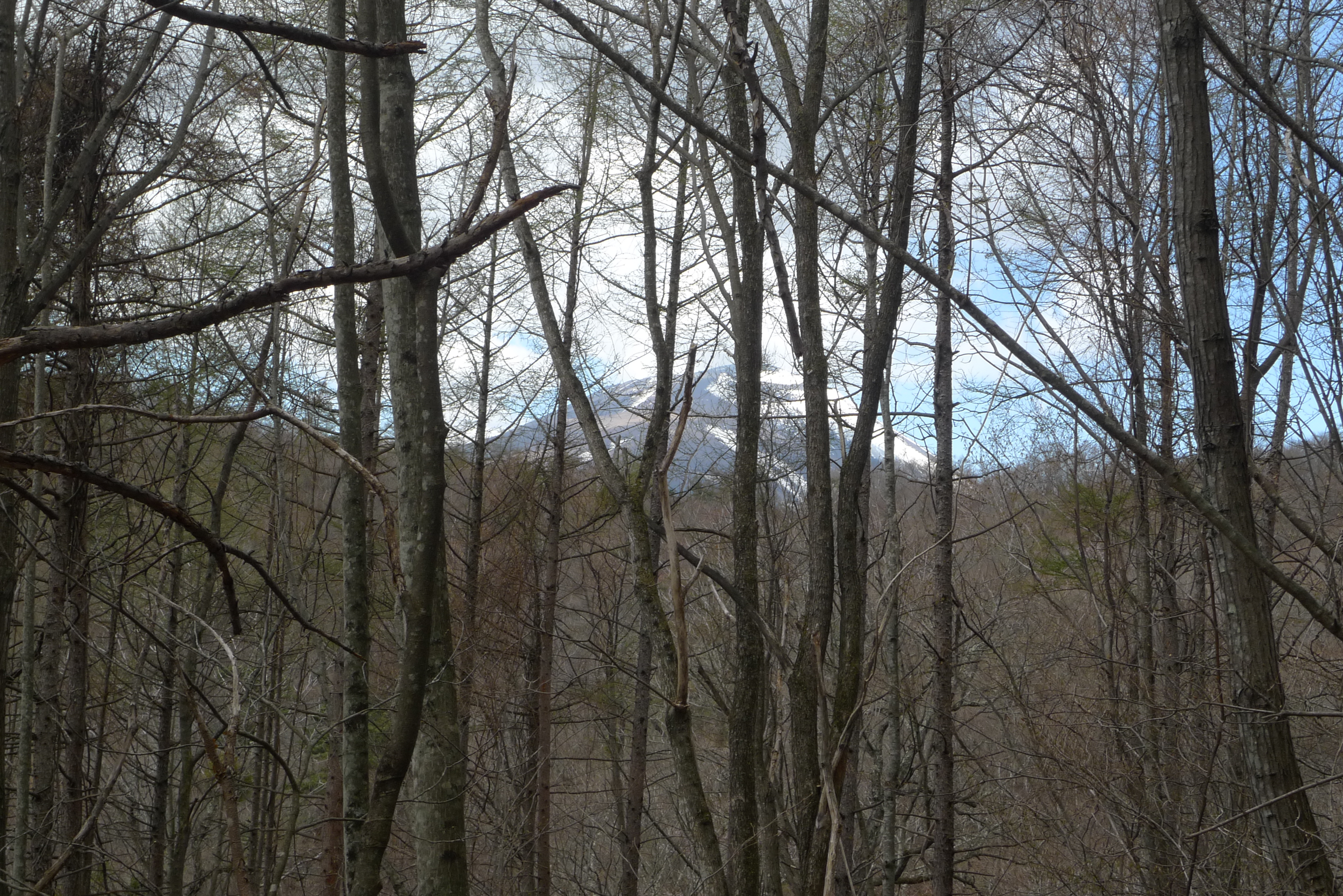
View from Mt. Ko-asama
Topographic Map of Mt. Asama, Karuizawa, Kitasaku District, Nagano Prefecture, Japan
Find elevation by address:

Places near Mt. Asama, Karuizawa, Kitasaku District, Nagano Prefecture, Japan:
Mt. Asama
4766 Kō
Kitasaku District
- Shiono, Miyota-machi, Kitasaku-gun, Nagano-ken -, Japan
Miyota
JA嬬恋村長井支所
Karuizawa
Ohata Construction
- Kanbara, Tsumagoi-mura, Agatsuma-gun, Gunma-ken -, Japan
Tsumagoi
Ko
Hotel Tsuruya
Komoro
1178 Karuizawa
Karuizawa Station
Kō, Komoro-shi, Nagano-ken -, Japan
Ōkuwa, Naganohara-machi, Agatsuma-gun, Gunma-ken -, Japan
Usui Pass
Torii Pass
Saku
Recent Searches:
- Elevation map of Litang County, Sichuan, China
- Elevation map of Madoi County, Qinghai, China
- Elevation of 3314, Ohio State Route 114, Payne, Paulding County, Ohio, 45880, USA
- Elevation of Sarahills Drive, Saratoga, Santa Clara County, California, 95070, USA
- Elevation of Town of Bombay, Franklin County, New York, USA
- Elevation of 9, Convent Lane, Center Moriches, Suffolk County, New York, 11934, USA
- Elevation of Saint Angelas Convent, 9, Convent Lane, Center Moriches, Suffolk County, New York, 11934, USA
- Elevation of 131st Street Southwest, Mukilteo, Snohomish County, Washington, 98275, USA
- Elevation of 304, Harrison Road, Naples, Cumberland County, Maine, 04055, USA
- Elevation of 2362, Timber Ridge Road, Harrisburg, Cabarrus County, North Carolina, 28075, USA
- Elevation of Ridge Road, Marshalltown, Marshall County, Iowa, 50158, USA
- Elevation of 2459, Misty Shadows Drive, Pigeon Forge, Sevier County, Tennessee, 37862, USA
- Elevation of 8043, Brightwater Way, Spring Hill, Williamson County, Tennessee, 37179, USA
- Elevation of Starkweather Road, San Luis, Costilla County, Colorado, 81152, USA
- Elevation of 5277, Woodside Drive, Baton Rouge, East Baton Rouge Parish, Louisiana, 70808, USA
- Elevation of 1139, Curtin Street, Shepherd Park Plaza, Houston, Harris County, Texas, 77018, USA
- Elevation of 136, Sellers Lane, Repton, Monroe County, Alabama, 36475, USA
- Elevation of 12914, Elmington Drive, Lakewood Forest, Houston, Harris County, Texas, 77429, USA
- Elevation of 417, Camelot Drive, Statesville, Iredell County, North Carolina, 28625, USA
- Elevation of 5792, Wildridge Road, Avon, Eagle County, Colorado, 81620, USA