Elevation of MS-63, Moss Point, MS, USA
Location: United States > Mississippi > Jackson County > Moss Point >
Longitude: -88.562398
Latitude: 30.5869137
Elevation: 9m / 30feet
Barometric Pressure: 101KPa
Elevation Map:
Satellite Map:
Related Photos:
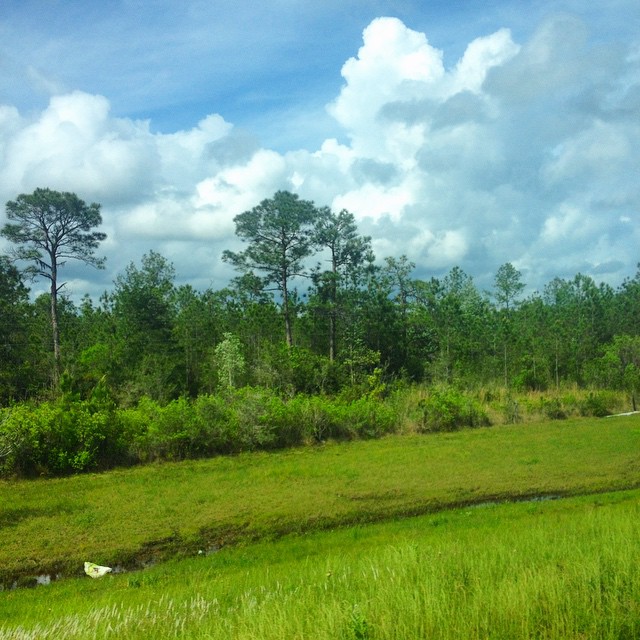
#mississippi leaving #storms behind us ????

DHSXC @ East Central Inv

Jonican Bayou

DHSXC @ East Central Inv

DHSXC @ East Central Inv

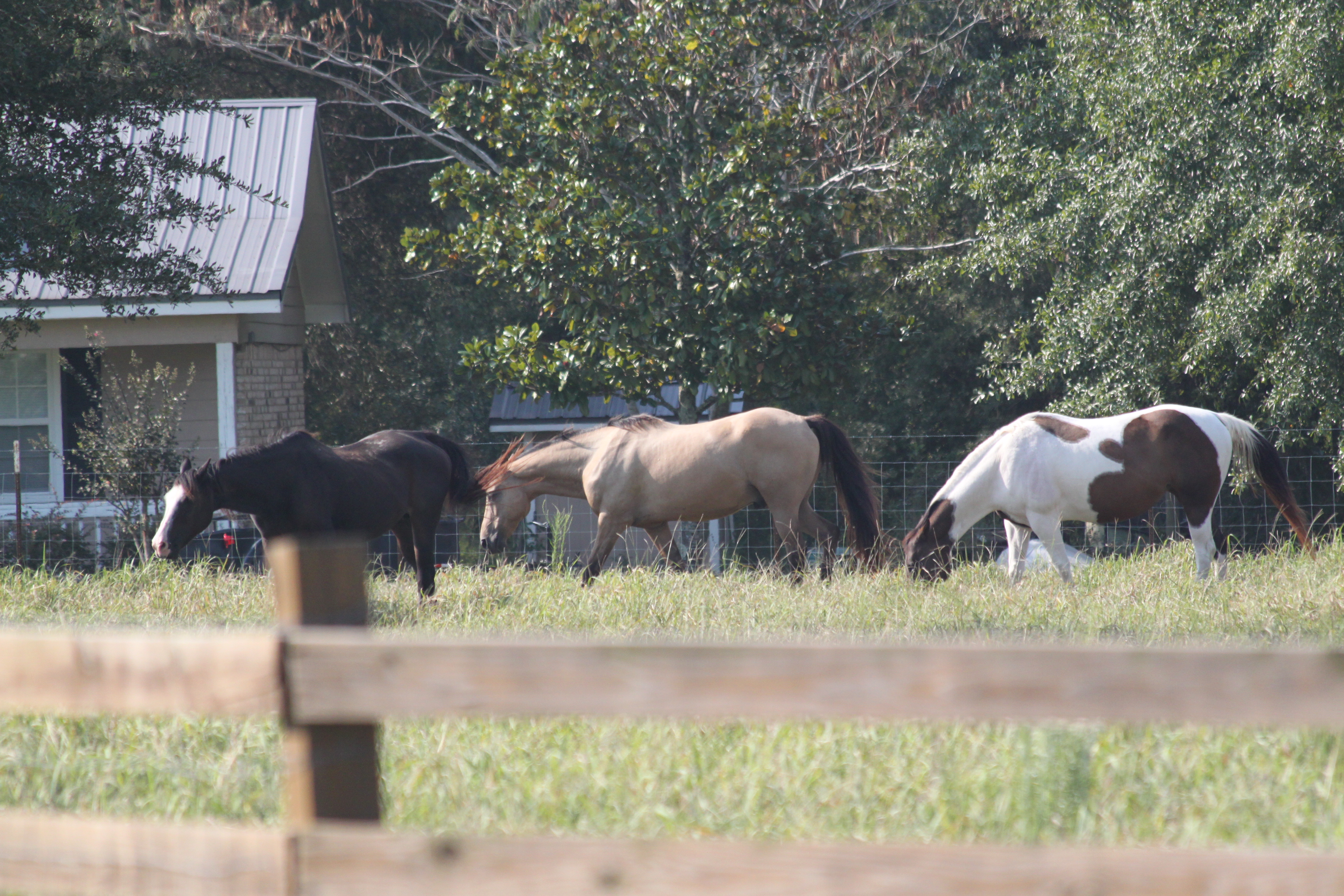
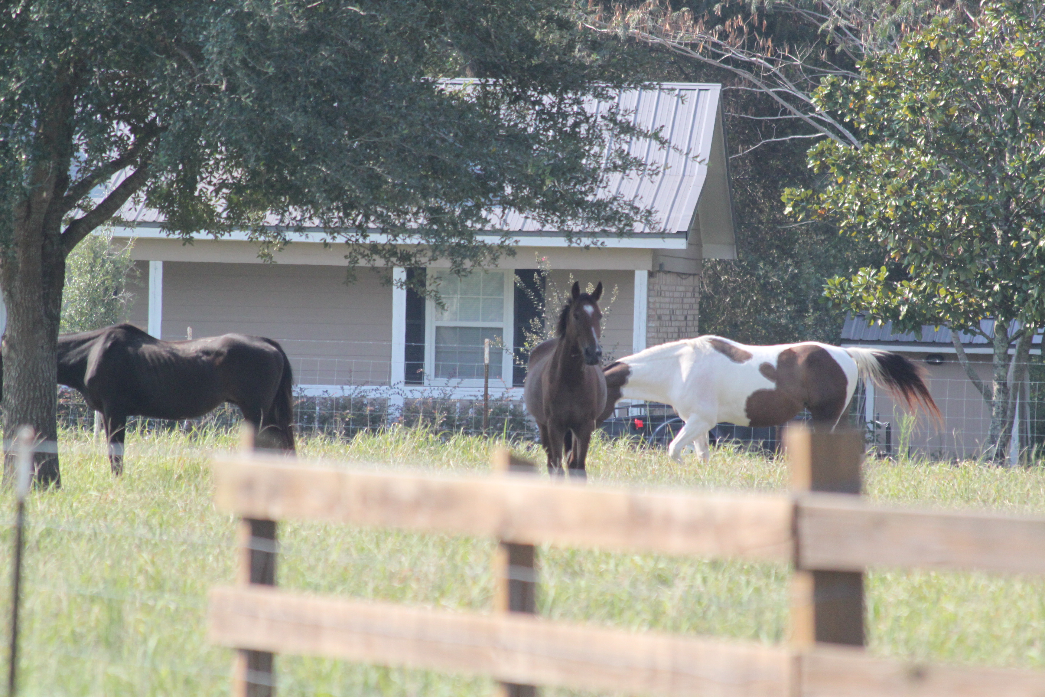
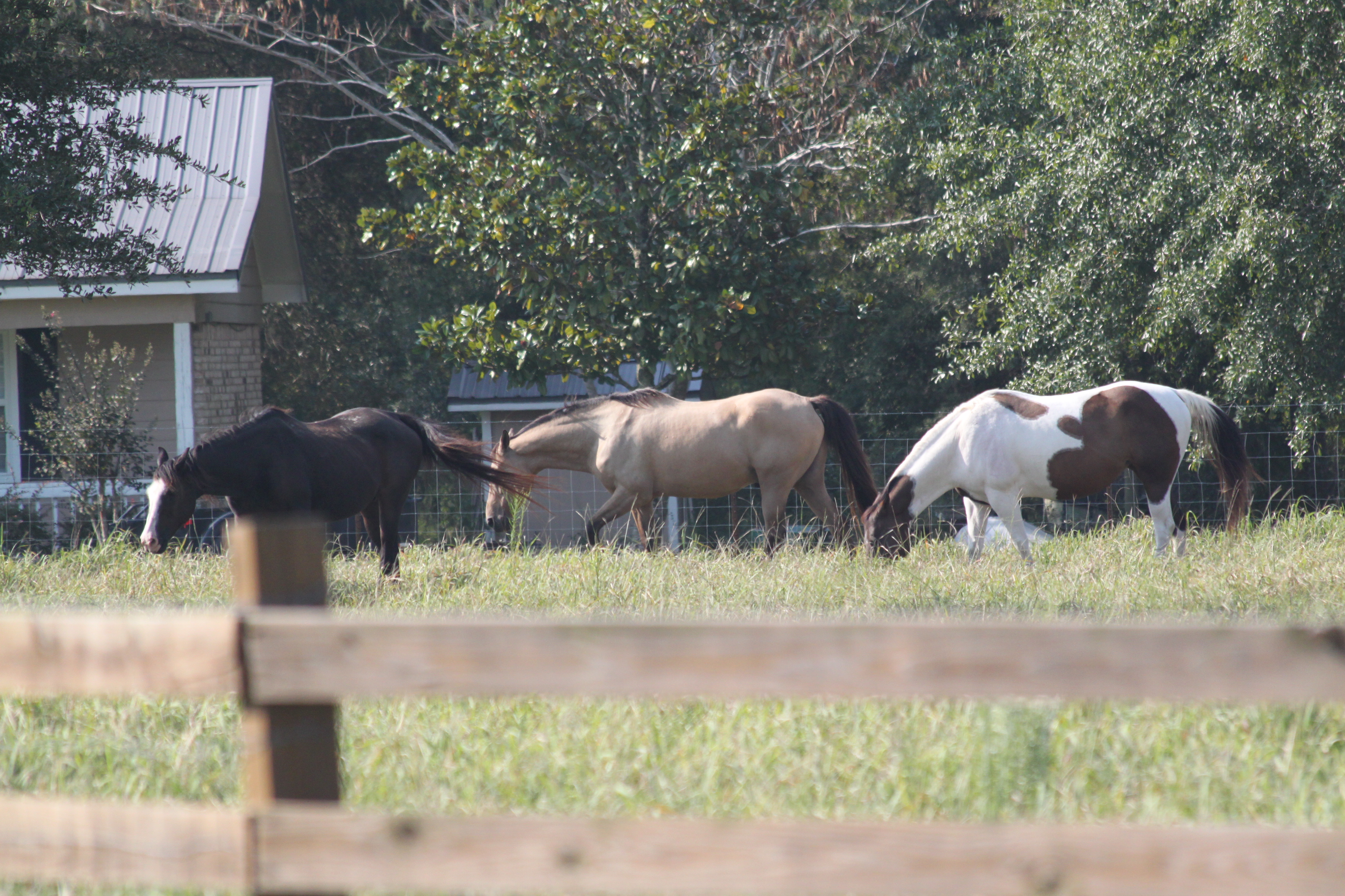
Granley, MS
DHSXC @ East Central Inv
DHSXC @ East Central Inv
DHSXC @ East Central Inv
_DSC0041.jpg
_DSC0040.jpg
DSC_0099.jpg
DSC_8669.jpg
DSC_5125.jpg

DSC_5091.jpg
DSC_5052.jpg

DSCN0146.jpg

DSCN0145.jpg

DSCN0140.jpg
Topographic Map of MS-63, Moss Point, MS, USA
Find elevation by address:

Places near MS-63, Moss Point, MS, USA:
B C Market
Triple C Package Store
Huckleberry Lane
Hurley
8100 Pecan Ridge Dr
23210 Ramie Farm Rd
Polktown Rd, Lucedale, MS, USA
MS-, Lucedale, MS, USA
Amberwood Lane
Harmon Williams Rd, Mobile, AL, USA
13230 Tom Gaston Rd
15555 Randolph Foster Rd
3805 Lakefront Dr W
10950c Calvert Rd
1870 Repoll Dr
1870 Repoll Dr
4865 Clark Rd
Dawes
Millers Creek
9224 Cottage Park Dr N
Recent Searches:
- Elevation of Paradisvegen, Biri, Norway
- Elevation of Crystal Cir, Birmingham, AL, USA
- Elevation of N Railroad Ave, West Palm Beach, FL, USA
- Elevation of 55 Cassick Valley Rd, Wellfleet, MA, USA
- Elevation of Ironwood Dr, Minden, NV, USA
- Elevation of 高尾山口駅, Takaomachi, Hachioji, Tokyo -, Japan
- Elevation of 15 Victory Ave, Greenville, SC, USA
- Elevation of Kota Ternate Utara, Ternate City, North Maluku, Indonesia
- Elevation of Allon St, Oceanside, NY, USA
- Elevation of Carroll Creek Rd, Custer, SD, USA