Elevation of MS-12, Ackerman, MS, USA
Location: United States > Mississippi > Choctaw County > Ackerman >
Longitude: -89.184786
Latitude: 33.3168034
Elevation: 167m / 548feet
Barometric Pressure: 99KPa
Elevation Map:
Satellite Map:
Related Photos:

Coming out of its shell
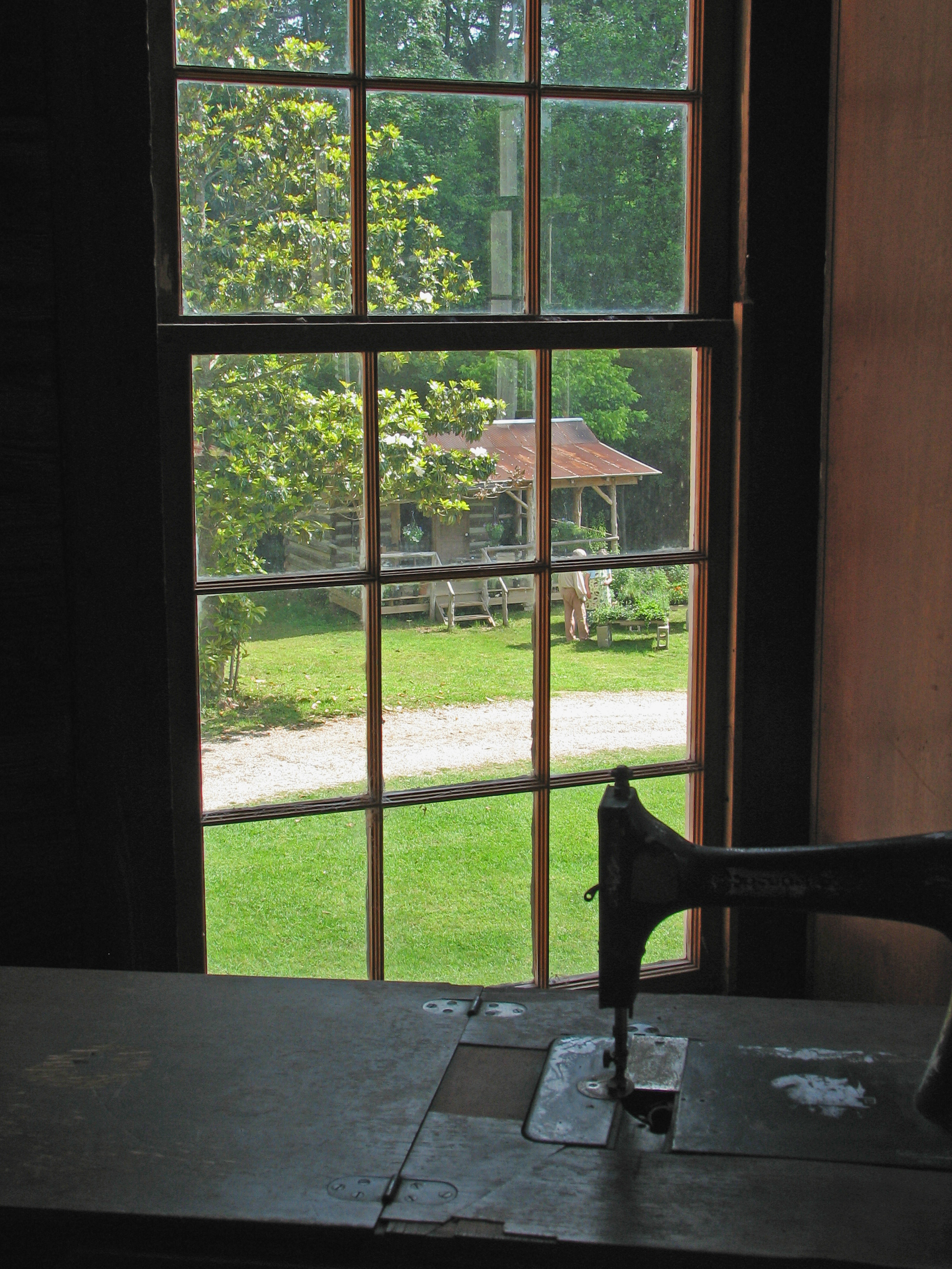
A stitch in time
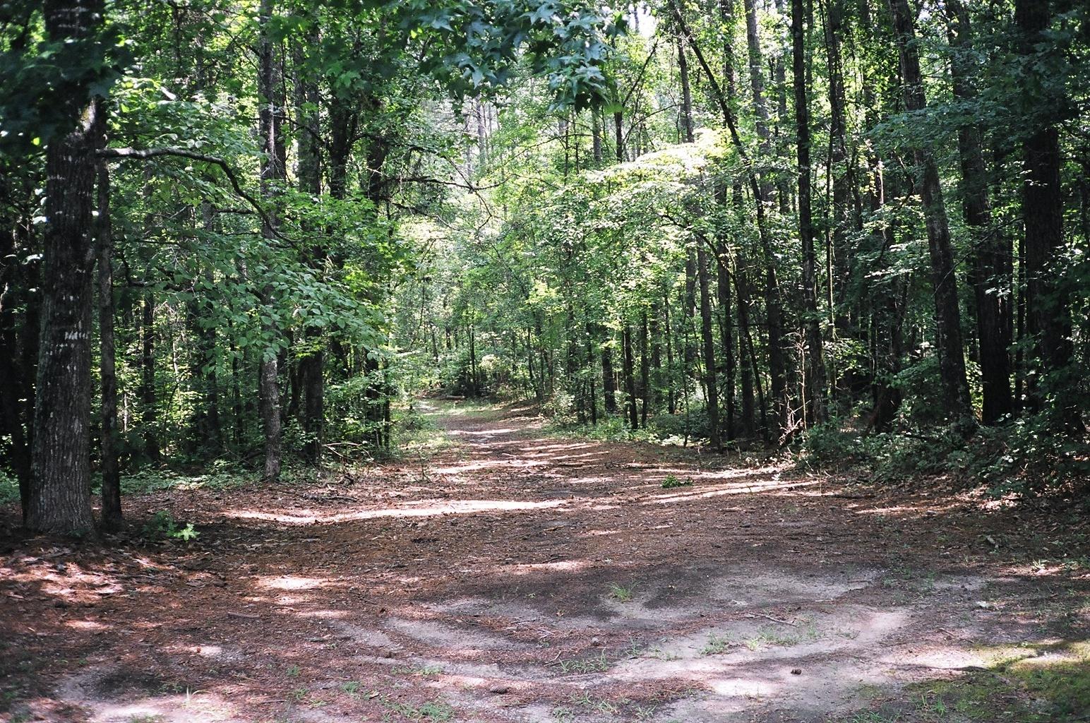
A view of the Old Trace looking north
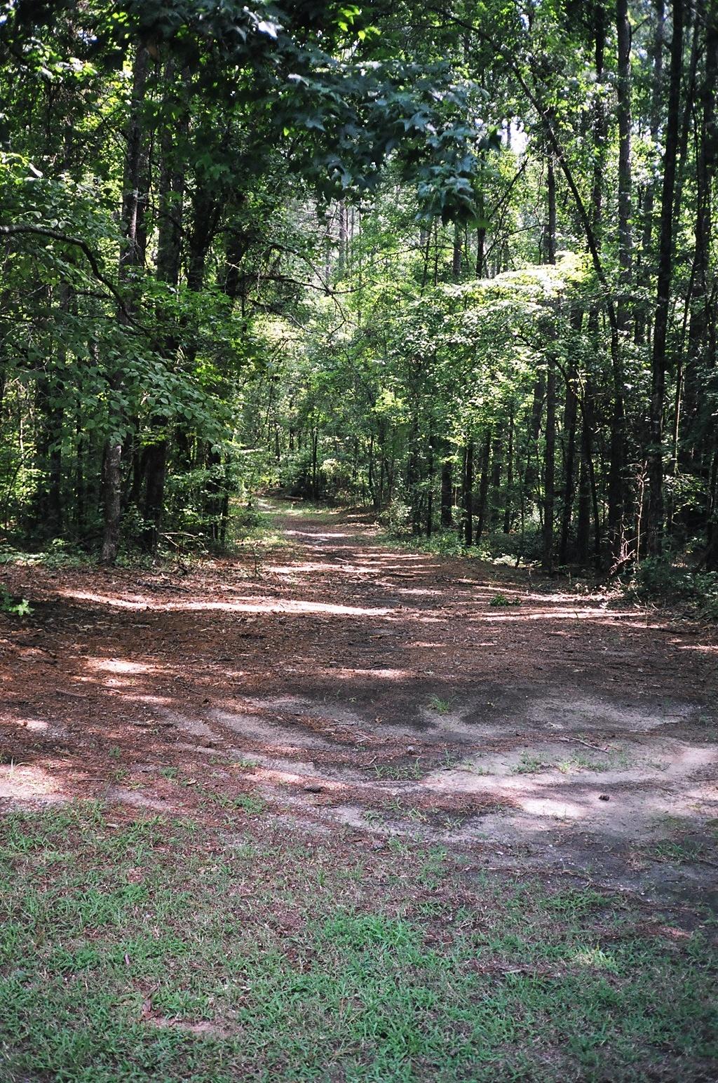
A southern view of the Old Trace
West end of the 3 Bridges Trail

From the Natchez Trace

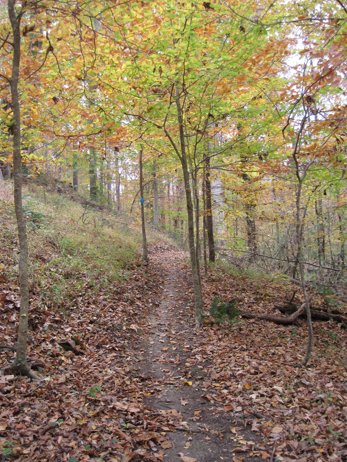
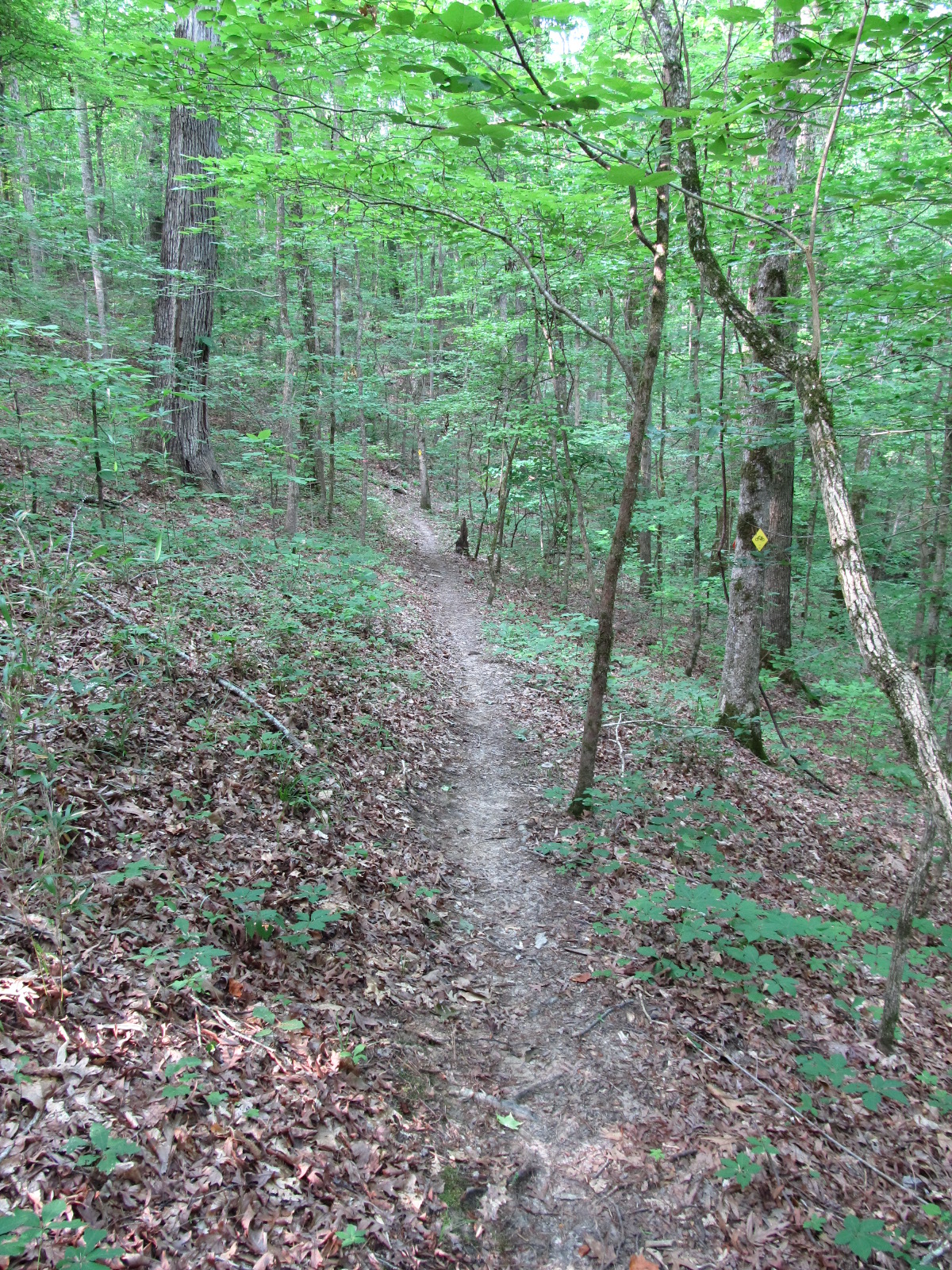
Little Mountain Trail - Natchez Trace, MS

Jeff Busby
Western end of the Sheep Ranch Trail

Choctaw Sunset
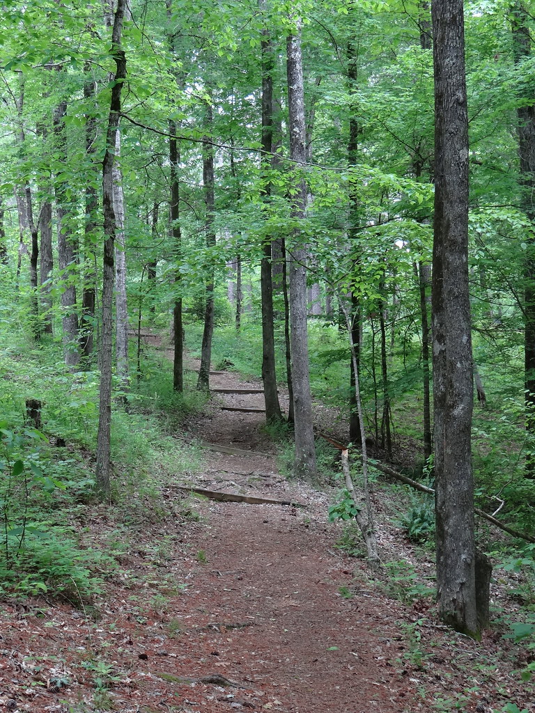
Little Mountain Trail - Natchez Trace, MS

Jeff Busty overlook
Topographic Map of MS-12, Ackerman, MS, USA
Find elevation by address:

Places near MS-12, Ackerman, MS, USA:
8613 Ms-12
9027 Ms-15
45 N Louisville St
Ackerman
1133 Burney Rd
1679 Ms-9
MS-12, Ackerman, MS, USA
2919 Ms-9
MS-, Ackerman, MS, USA
2510 Pensacola Rd
6132 Chester Mills Rd
6130 Chester Mills Rd
11 Staten Rd, Ackerman, MS, USA
Chester Mills Road
Weir
110 Ms-413
Choctaw County
Highpoint-Weir Rd, Louisville, MS, USA
Fentress-Panhandle Rd, McCool, MS, USA
Mccool
Recent Searches:
- Elevation of Vista Blvd, Sparks, NV, USA
- Elevation of 15th Ave SE, St. Petersburg, FL, USA
- Elevation of Beall Road, Beall Rd, Florida, USA
- Elevation of Leguwa, Nepal
- Elevation of County Rd, Enterprise, AL, USA
- Elevation of Kolchuginsky District, Vladimir Oblast, Russia
- Elevation of Shustino, Vladimir Oblast, Russia
- Elevation of Lampiasi St, Sarasota, FL, USA
- Elevation of Elwyn Dr, Roanoke Rapids, NC, USA
- Elevation of Congressional Dr, Stevensville, MD, USA