Elevation of Moyers Road, Moyers Rd, Second, WV, USA
Location: United States > West Virginia > Preston County > First > Bruceton Mills >
Longitude: -79.564212
Latitude: 39.6622209
Elevation: 614m / 2014feet
Barometric Pressure: 94KPa
Elevation Map:
Satellite Map:
Related Photos:
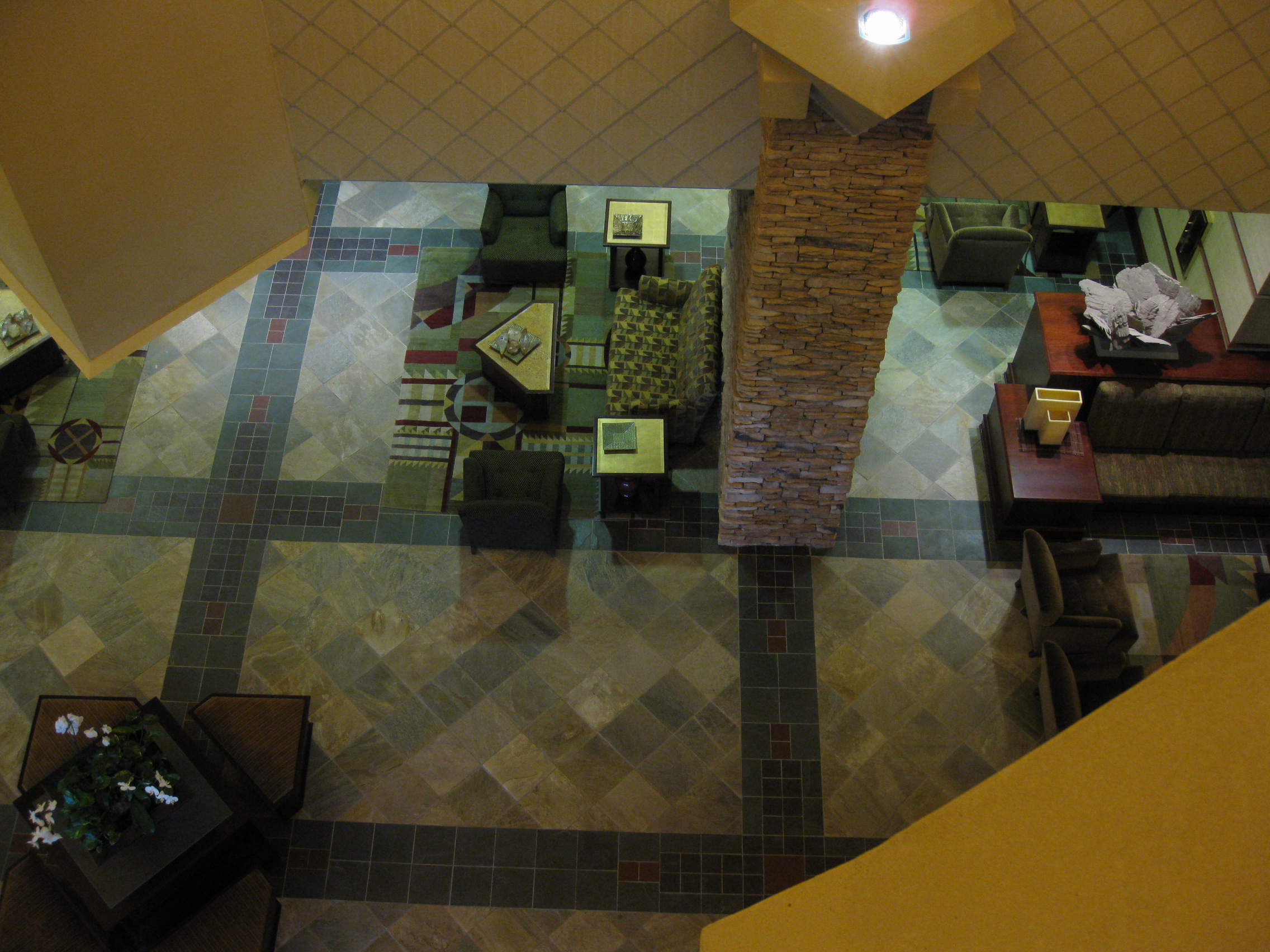
View from 3rd floor
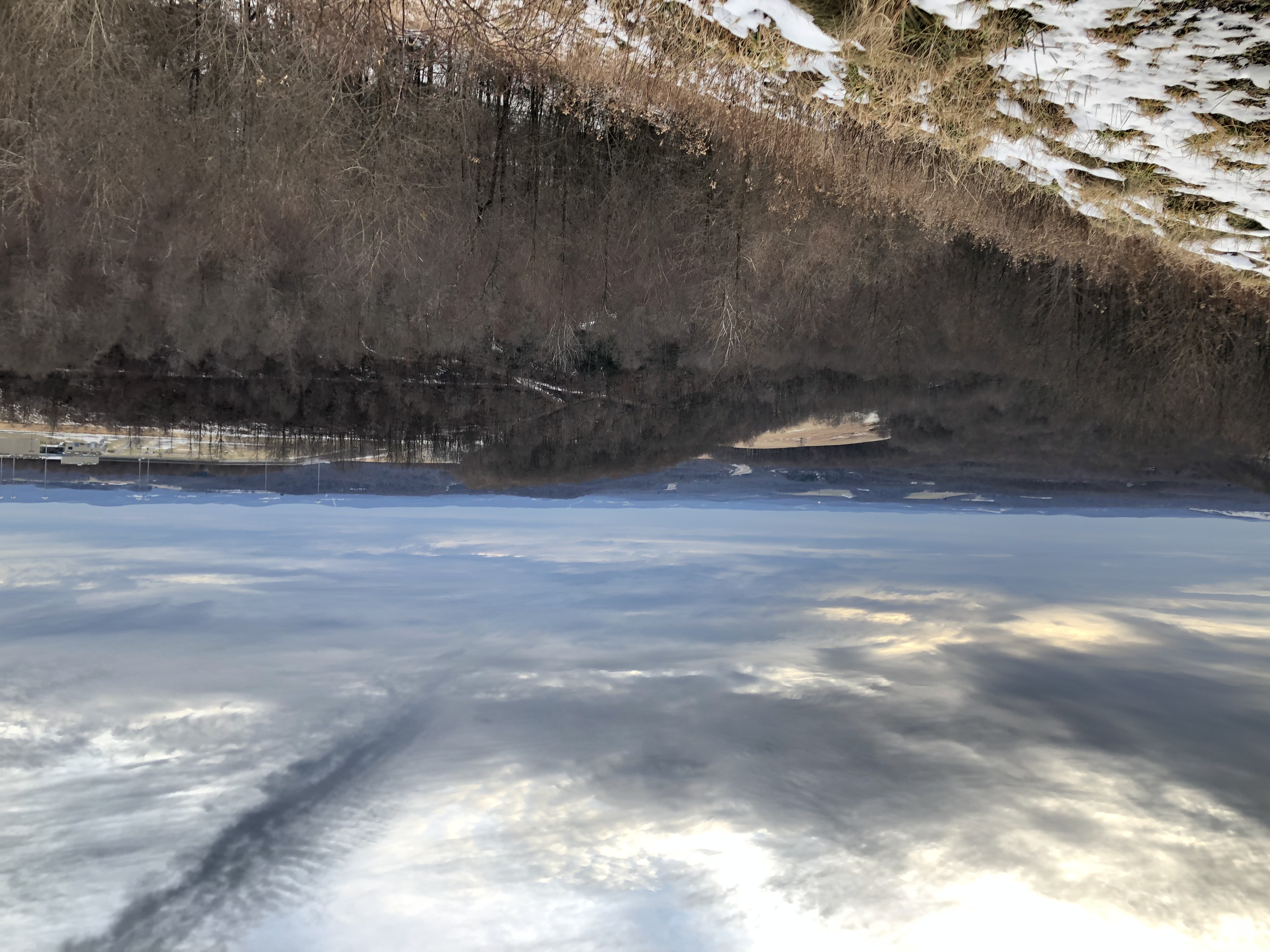
West Virginia View

Snowy Owl

West Virginia View

"Totem Caterpilliar"

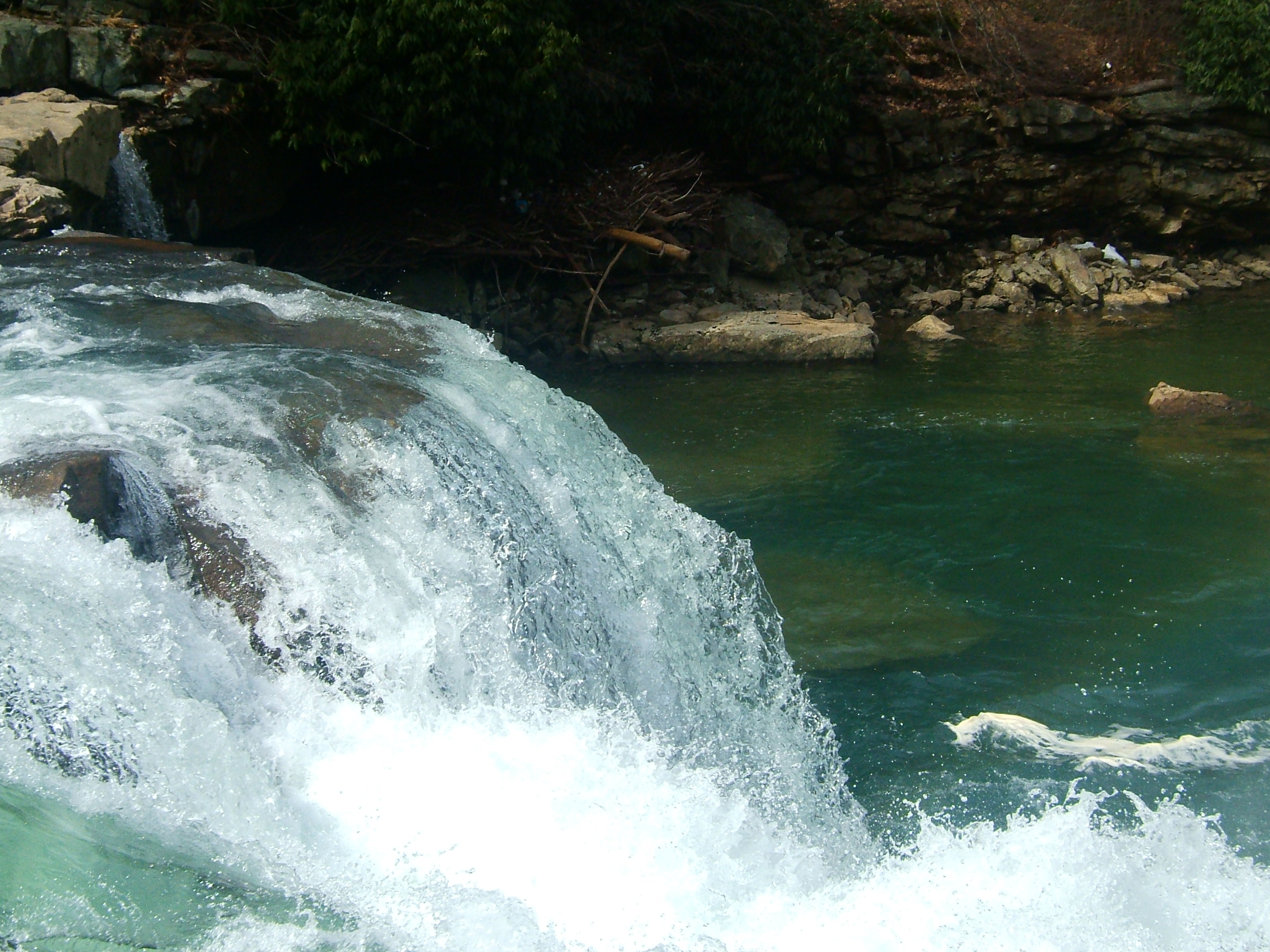
First View of Wonder Falls
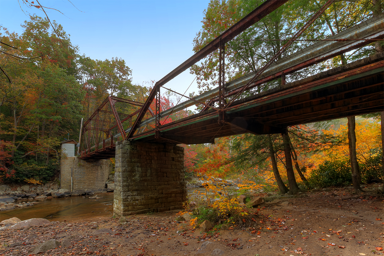
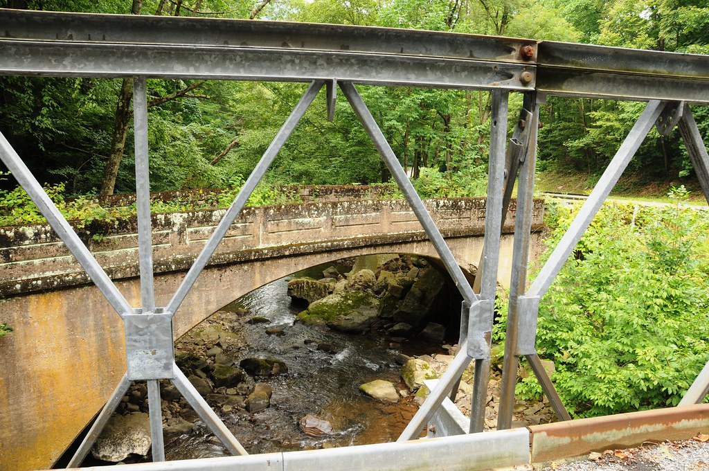
Bridge over Big Sandy Creek, Rockville, WV
Close-up #4
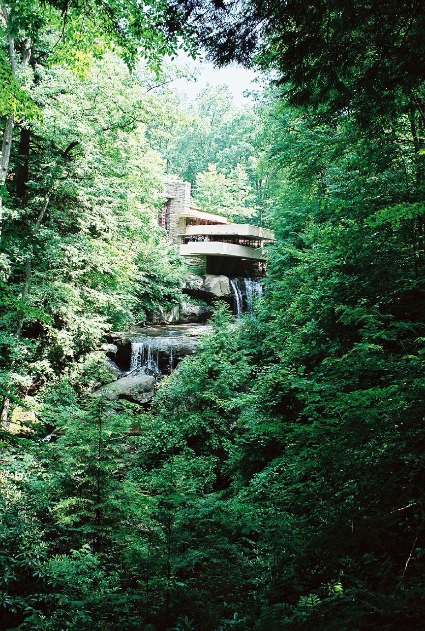
Famous View of Fallingwater
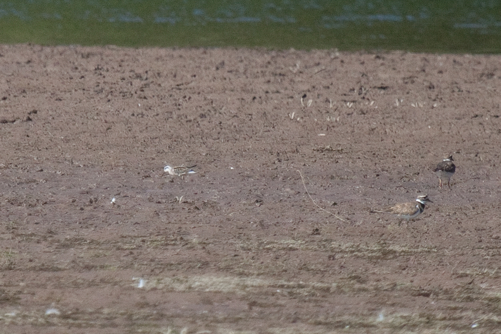
Red-necked Phalarope
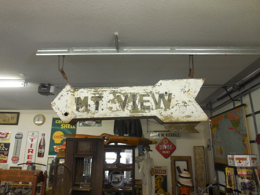
Mt. View
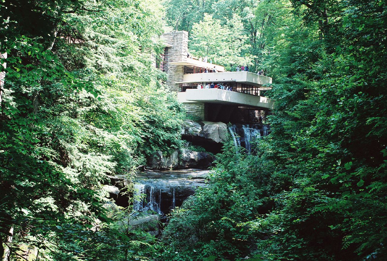
Famous View of Fallingwater
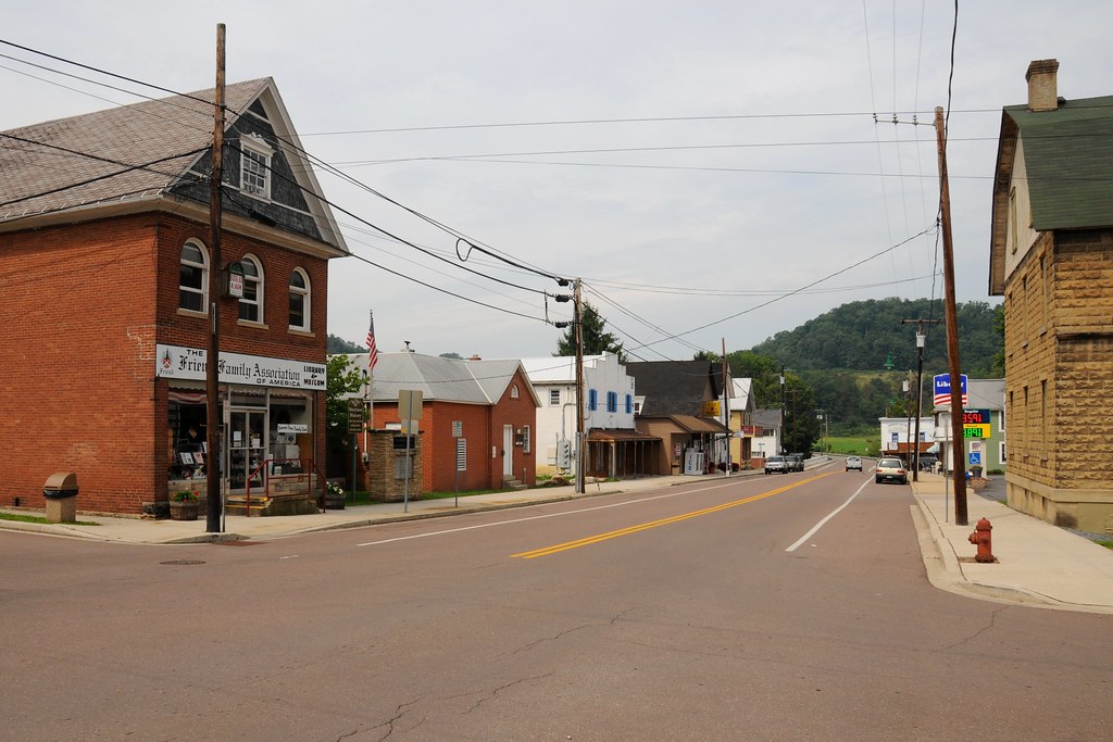
View of Maple Street from 1st Avenue
2012-06-27 (23) Maryland I-68

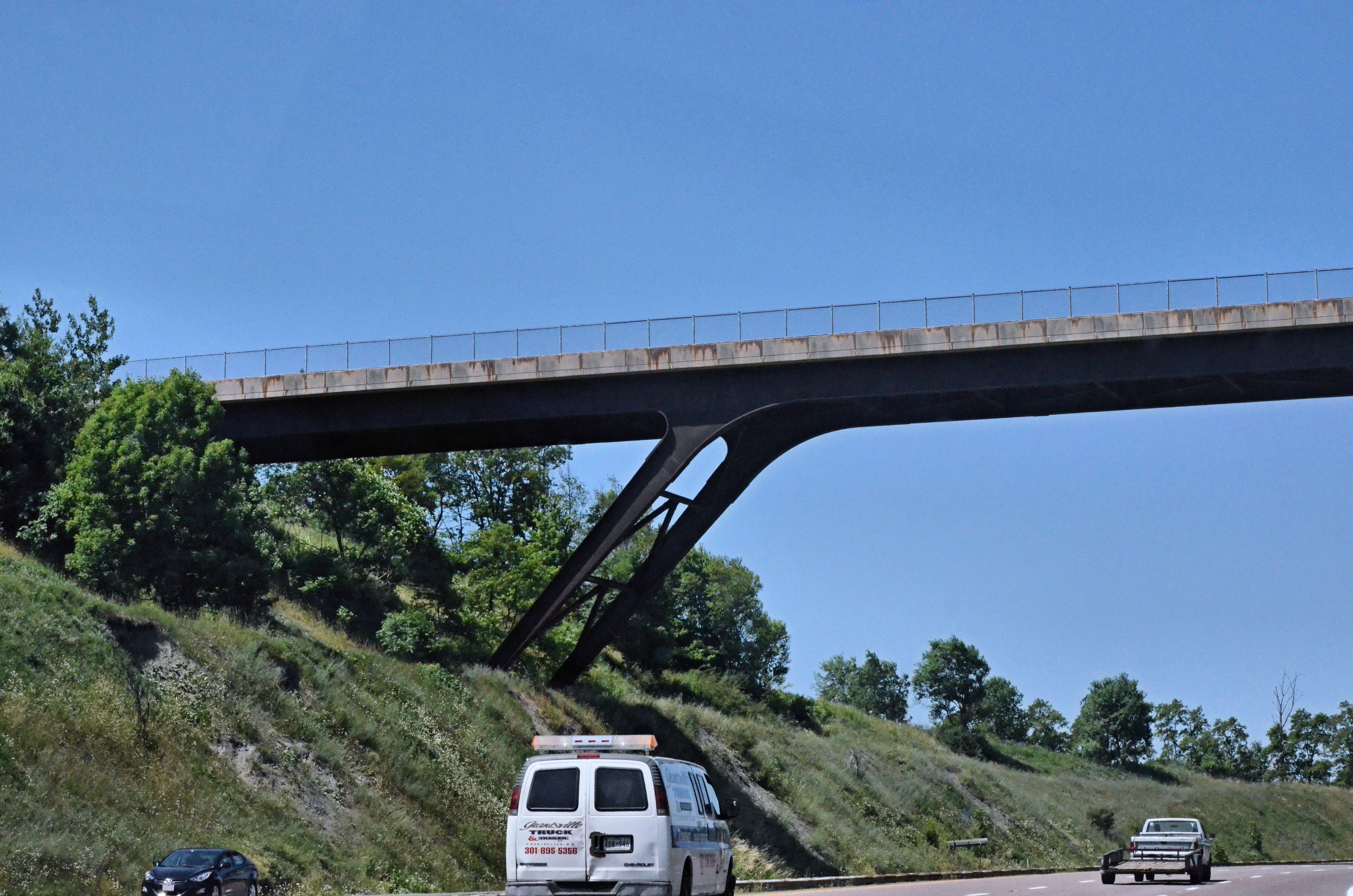
2012-06-27 (26) West Virginia I-68

2012-06-27 (22) Maryland I-68
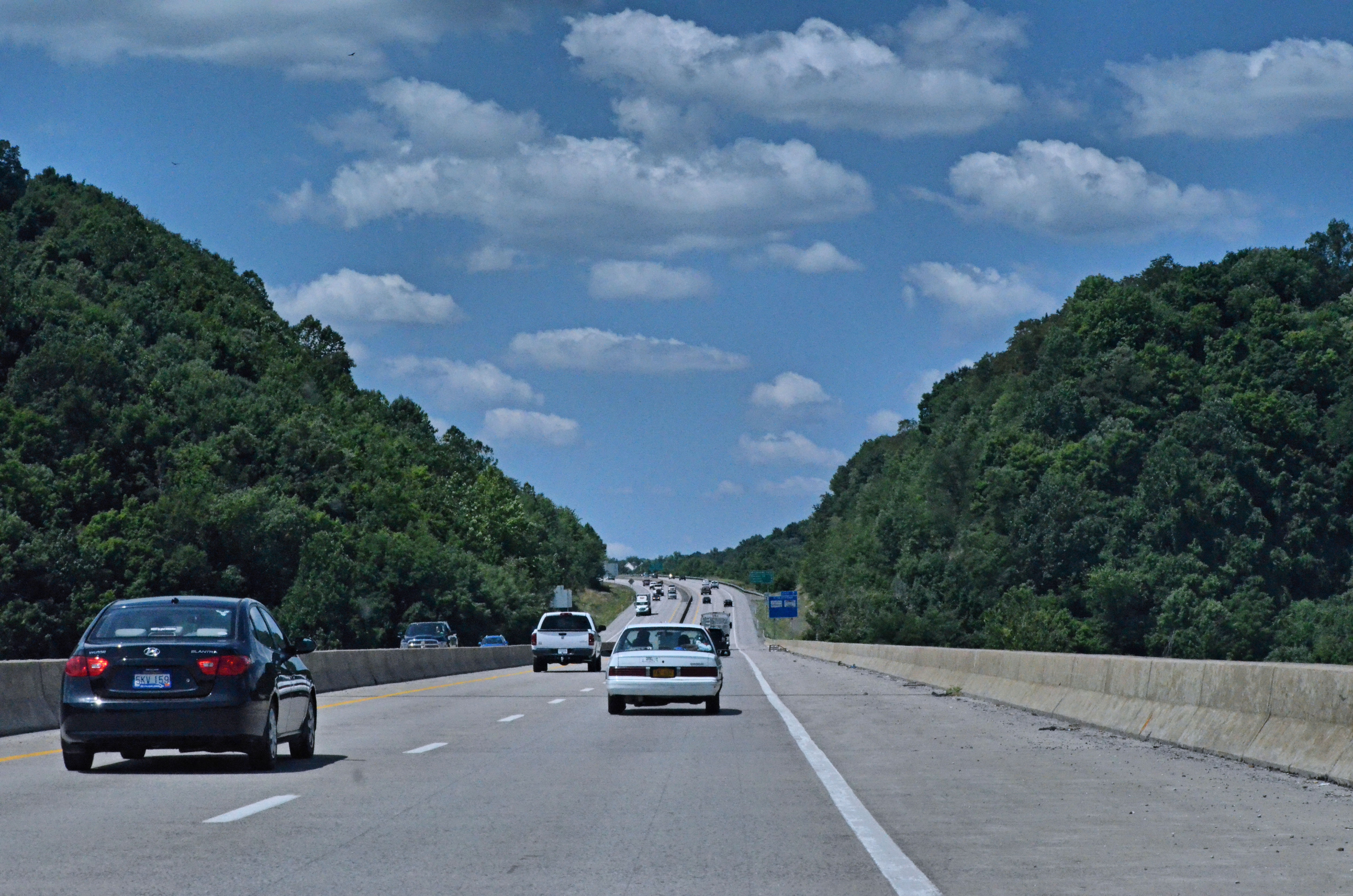
2012-06-27 (27) West Virginia I-68
Old bridge viewed from new bridge on Accident Friendsville Road

"Everything has beauty, but not everyone sees it."

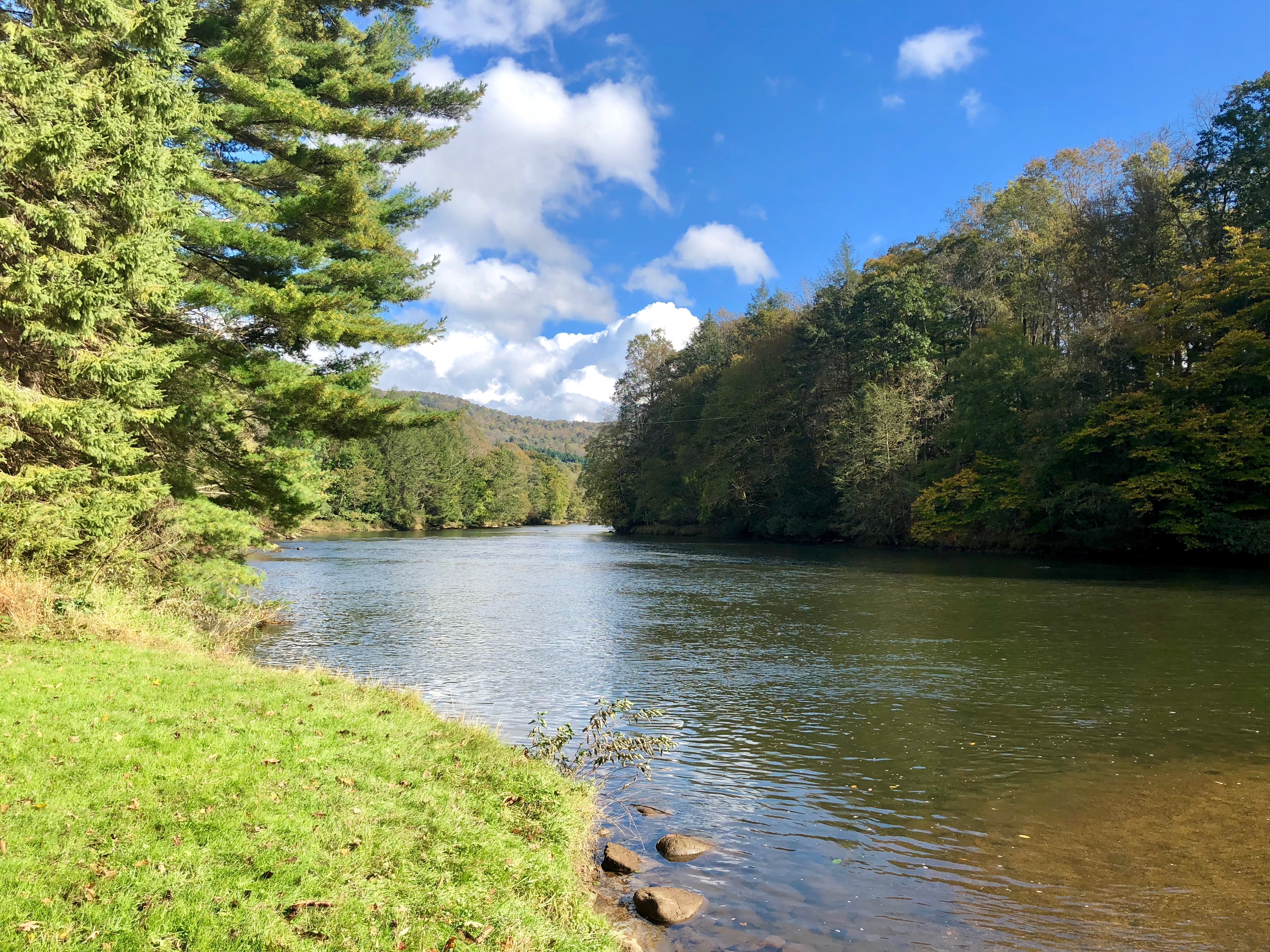
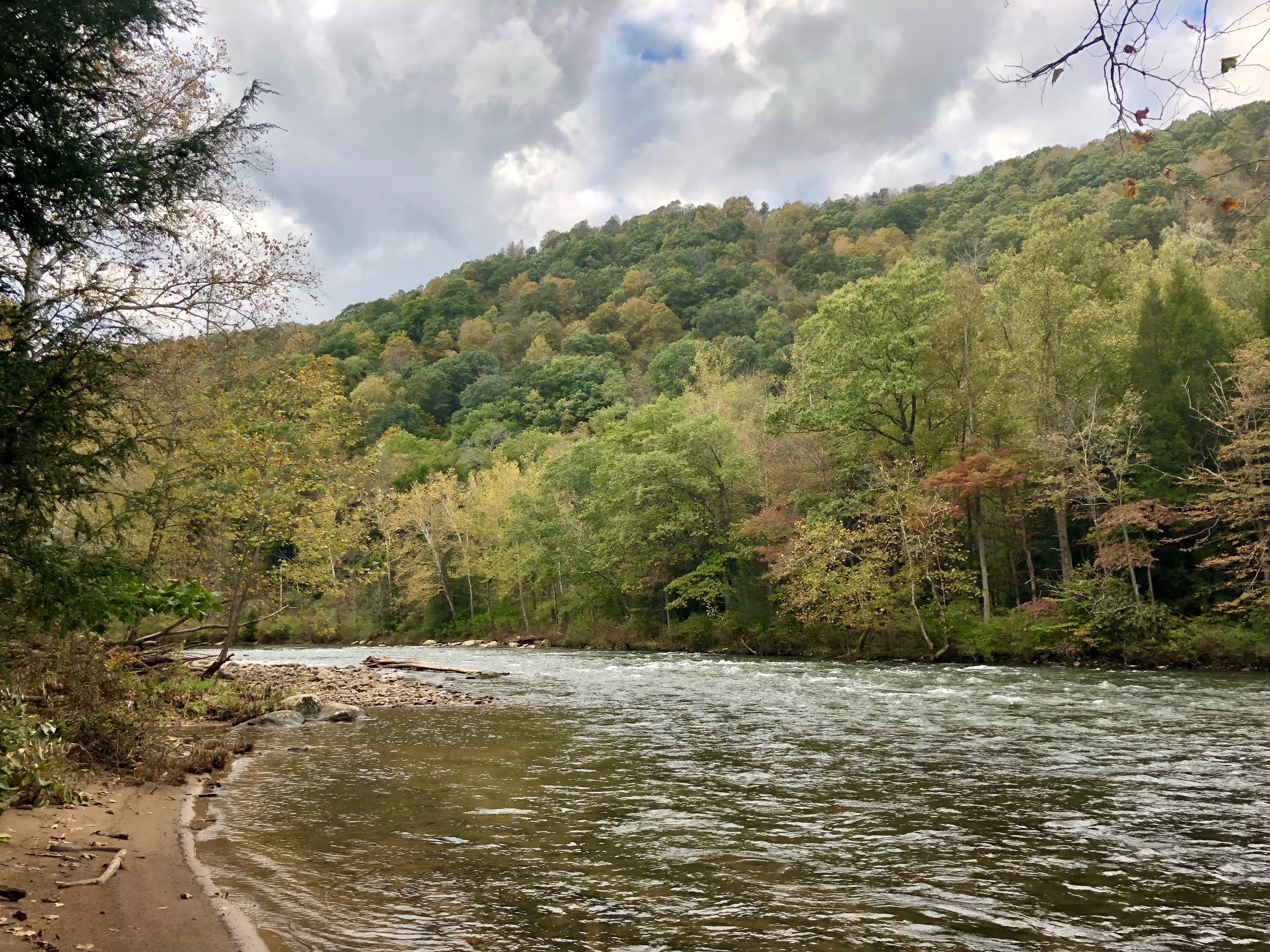
youghiogheny river
Youghiogheny River, looking upstream from Sang Run State Park

16th hole, Shepherd's Rock at Nemacolin Woodlands
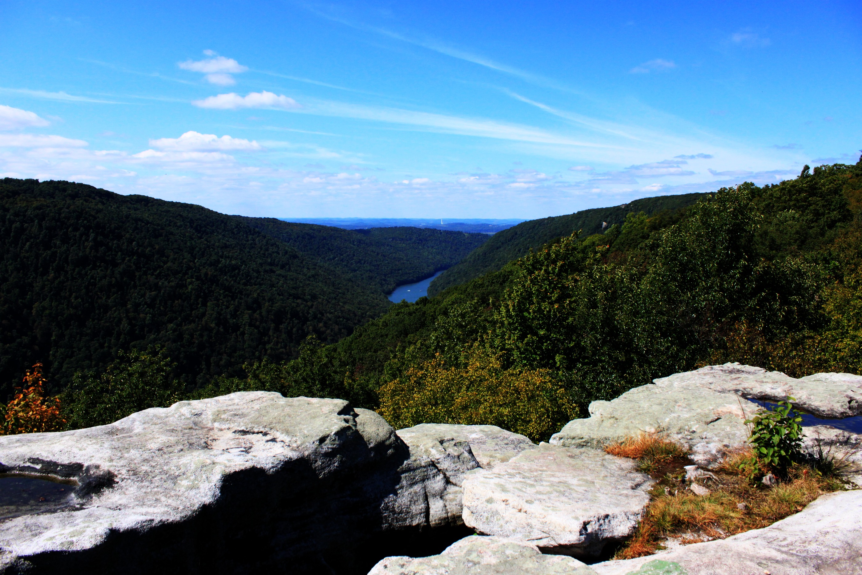
cheat river valley
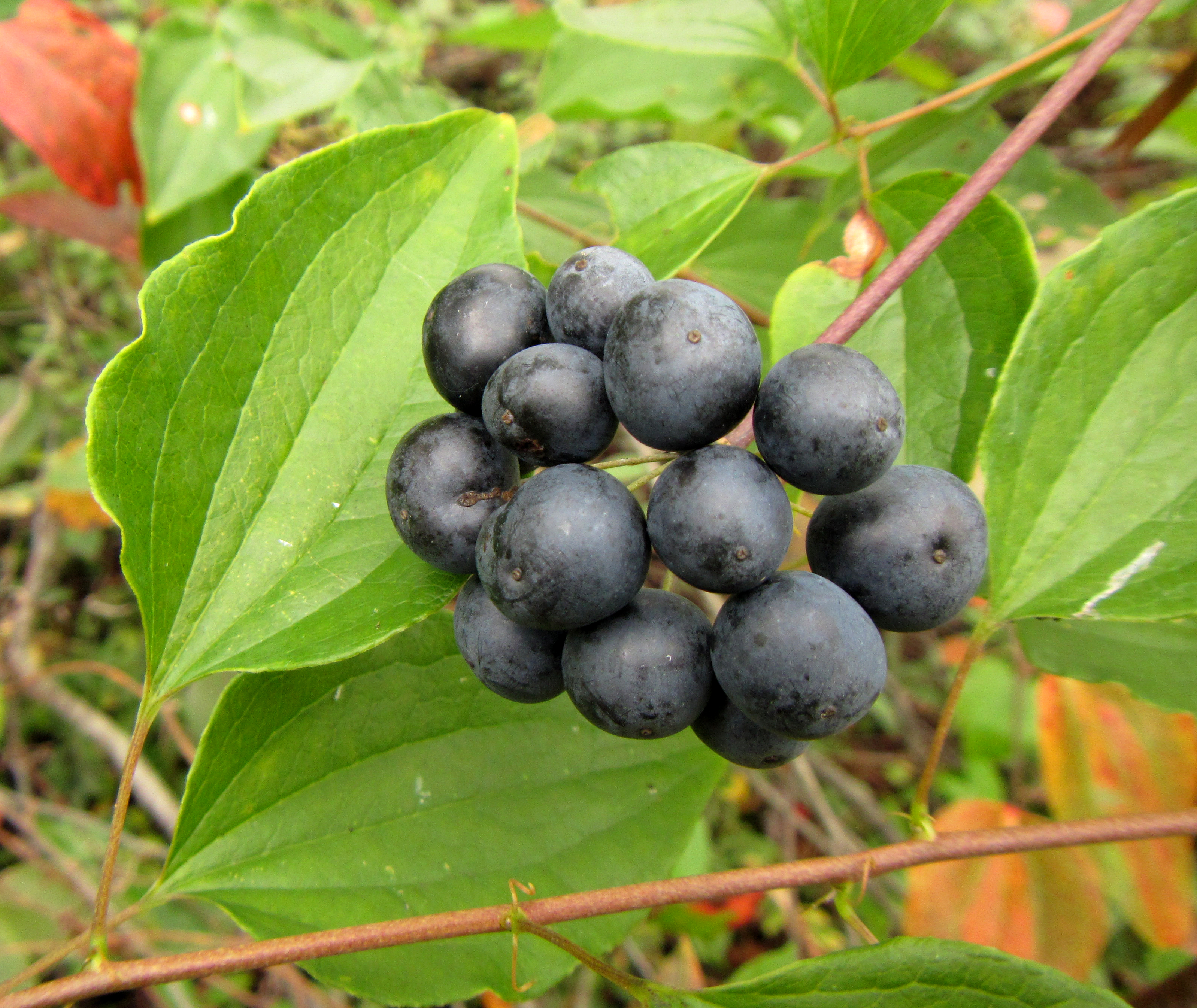
Smooth Carrionflower

David watches the ball fly

Vijay Singh sculpture

the falls of muddy creek
Youghiougheny Reservoir

SOPH & ME

Youghiogheny River, looking downstream - Friendsville, MD
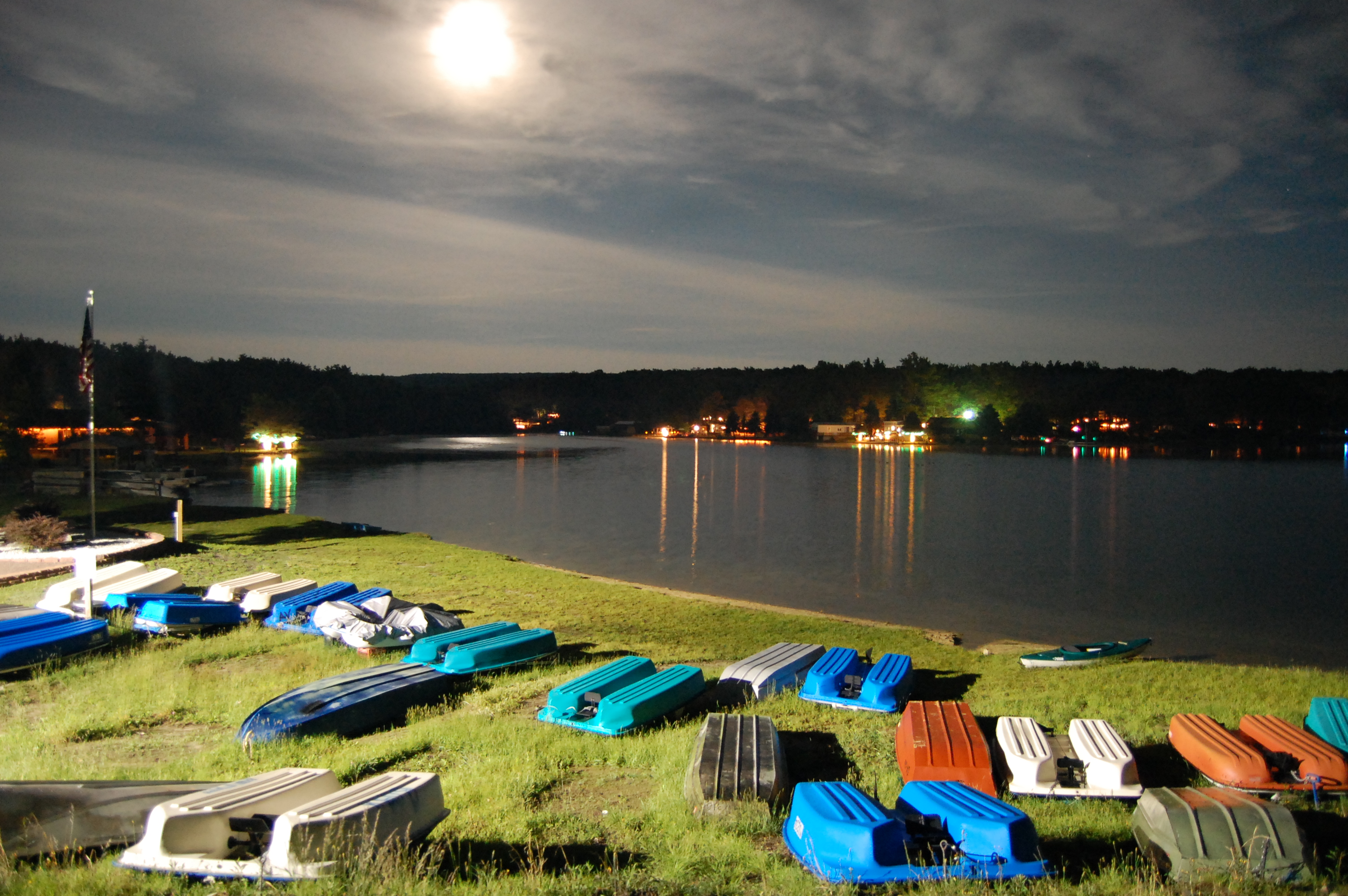
Boats in Moonlight
love these =)
Youghiogheny River, looking upstream - Friendsville, MD
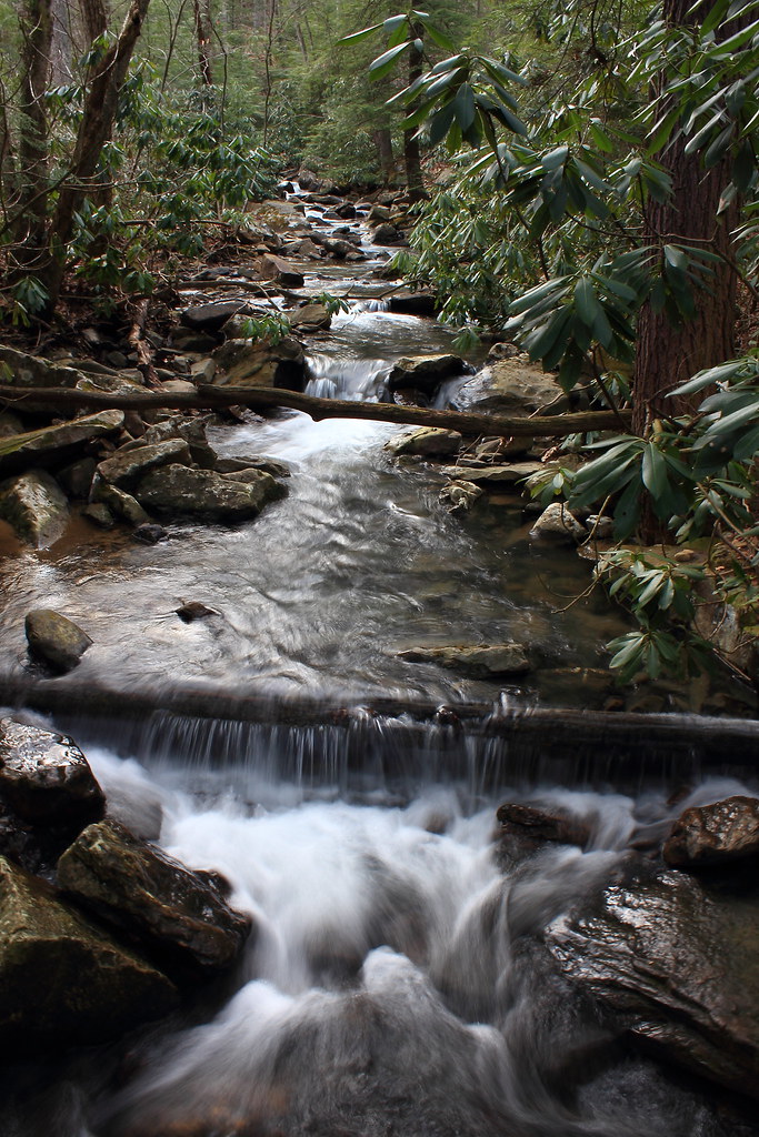
Lick Run
still green
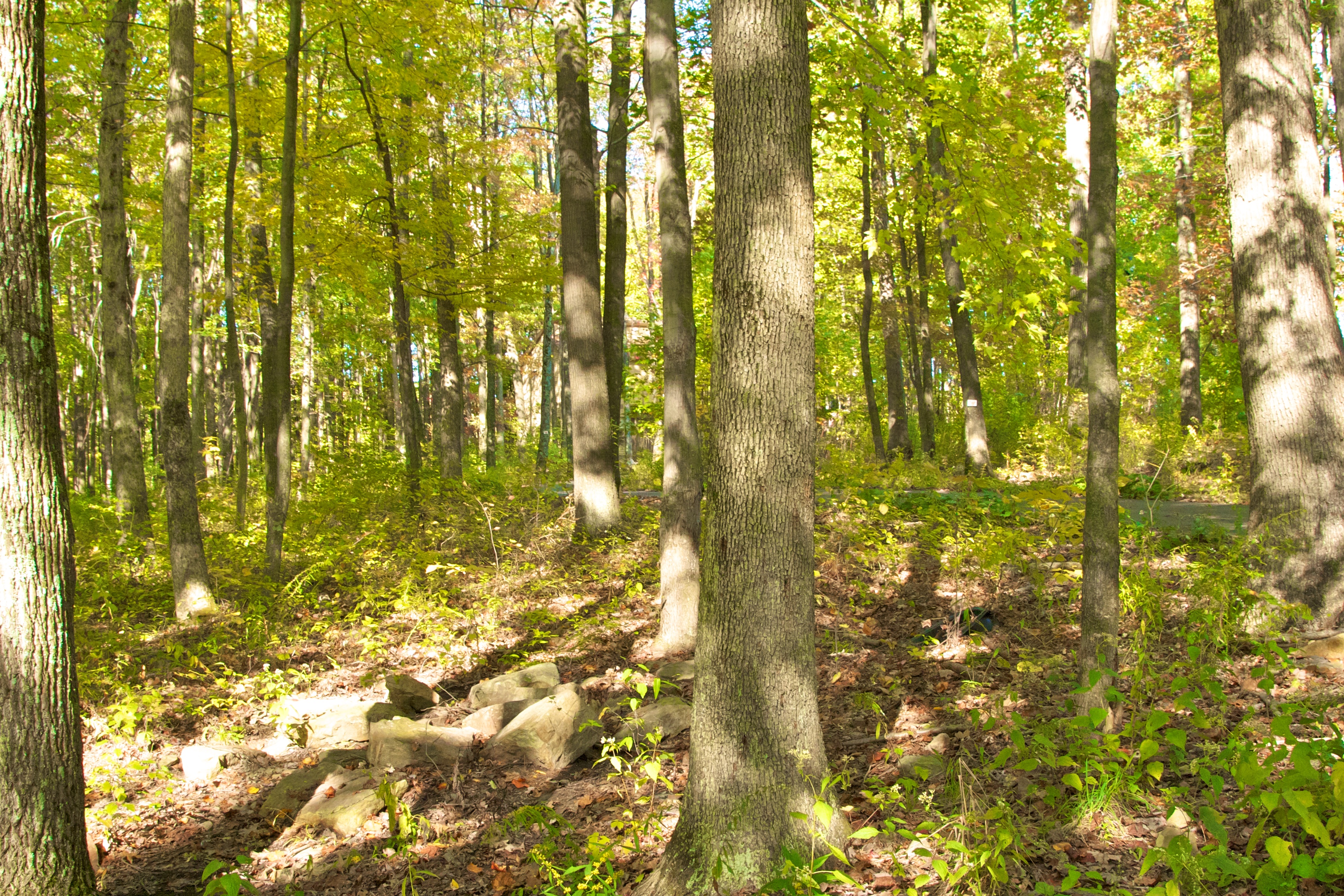
BSA - King Trees Campout 4/13/ - 4/15/2012
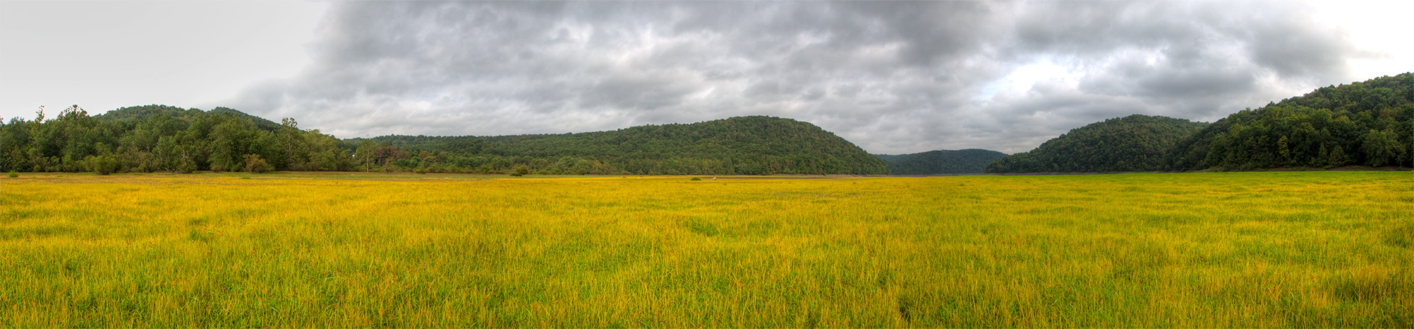
Cranesville Swamp
BSA - King Trees Campout 4/13/ - 4/15/2012
Topographic Map of Moyers Road, Moyers Rd, Second, WV, USA
Find elevation by address:

Places near Moyers Road, Moyers Rd, Second, WV, USA:
511 Shady Grove Rd
105 Autumn Ct
Second
9 Main St, Bruceton Mills, WV, USA
Brandonville
Bruceton Mills, WV, USA
1640 Sky View Dr
Mountain Dale
Centenary Rd, Bruceton Mills, WV, USA
Cuzzart
Brandonville Pike, Albright, WV, USA
Bruceton Mills
Guthrie Rd, Markleysburg, PA, USA
740 Ralph Livengood Rd
Lenox
987 Blooming Rose Rd
Valley Point
9 Hileman Rd, Bruceton Mills, WV, USA
13 Vista Ridge Dr
2 Coopers Rock Dr
Recent Searches:
- Elevation of Congressional Dr, Stevensville, MD, USA
- Elevation of Bellview Rd, McLean, VA, USA
- Elevation of Stage Island Rd, Chatham, MA, USA
- Elevation of Shibuya Scramble Crossing, 21 Udagawacho, Shibuya City, Tokyo -, Japan
- Elevation of Jadagoniai, Kaunas District Municipality, Lithuania
- Elevation of Pagonija rock, Kranto 7-oji g. 8"N, Kaunas, Lithuania
- Elevation of Co Rd 87, Jamestown, CO, USA
- Elevation of Tenjo, Cundinamarca, Colombia
- Elevation of Côte-des-Neiges, Montreal, QC H4A 3J6, Canada
- Elevation of Bobcat Dr, Helena, MT, USA