Elevation of Mountain View, Cave Creek, AZ, USA
Location: United States > Arizona > Maricopa County > Cave Creek >
Longitude: -111.95131
Latitude: 33.8342947
Elevation: 650m / 2133feet
Barometric Pressure: 94KPa
Elevation Map:
Satellite Map:
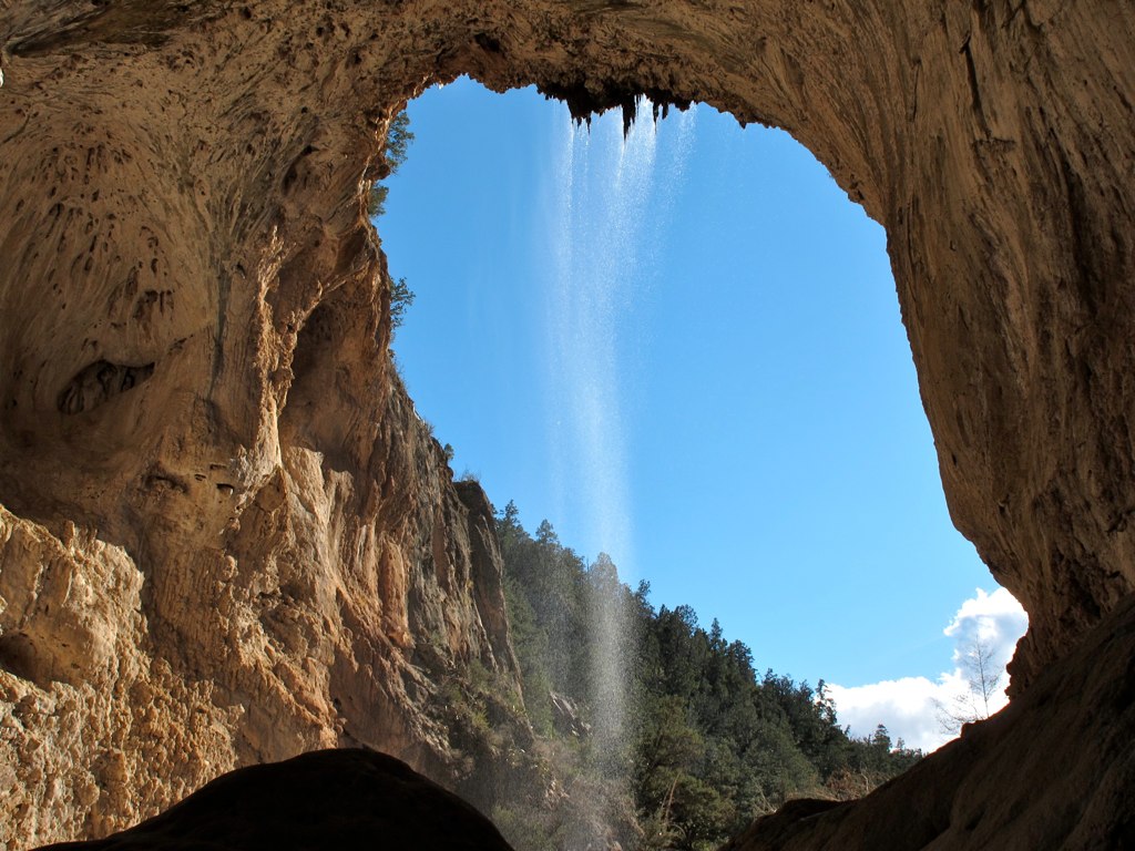
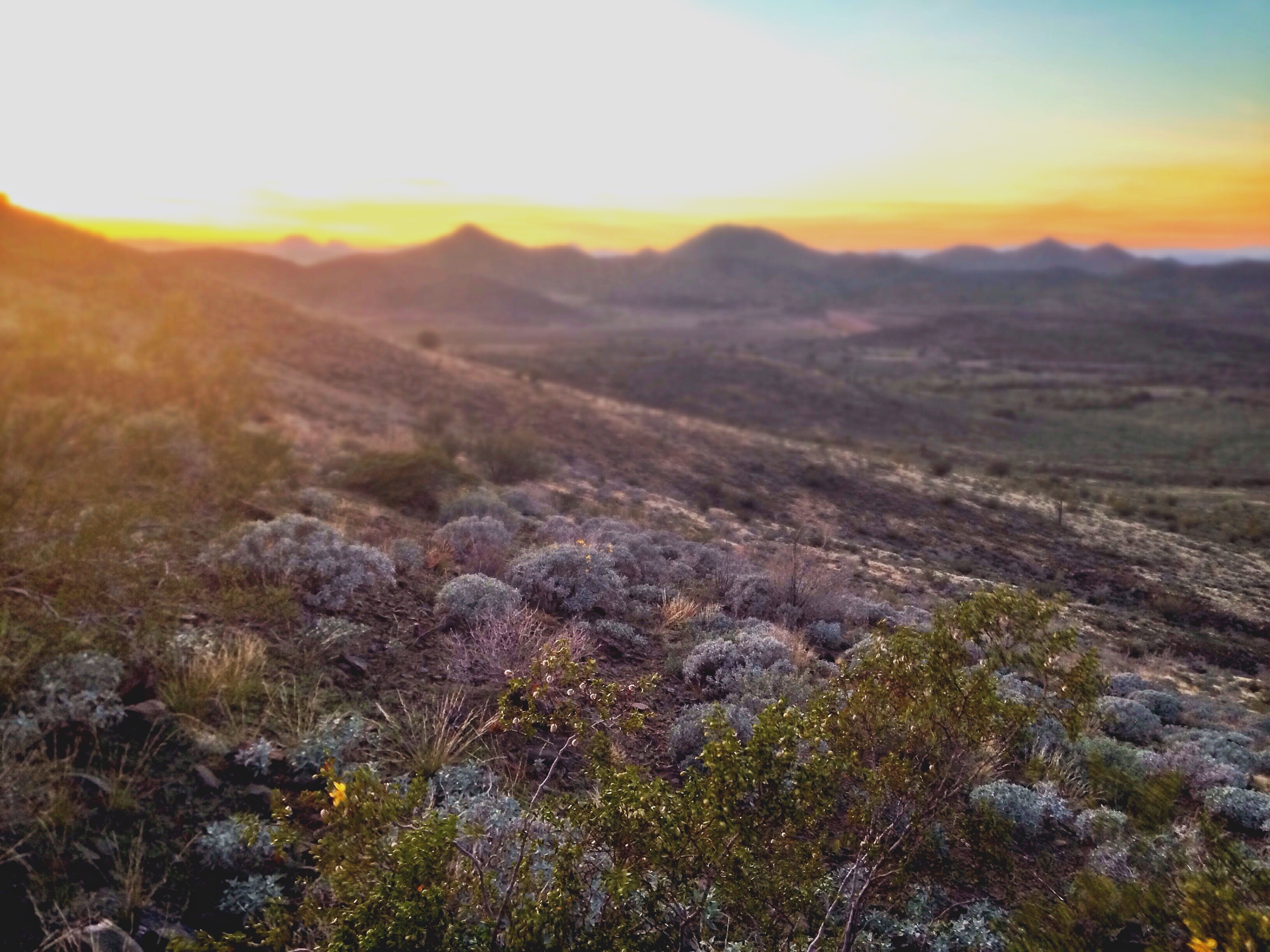
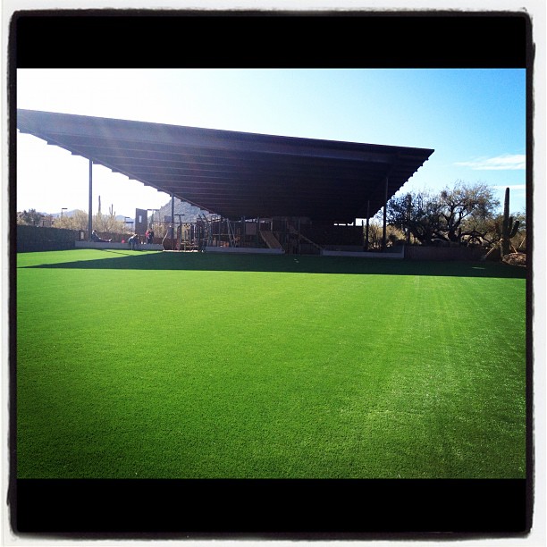
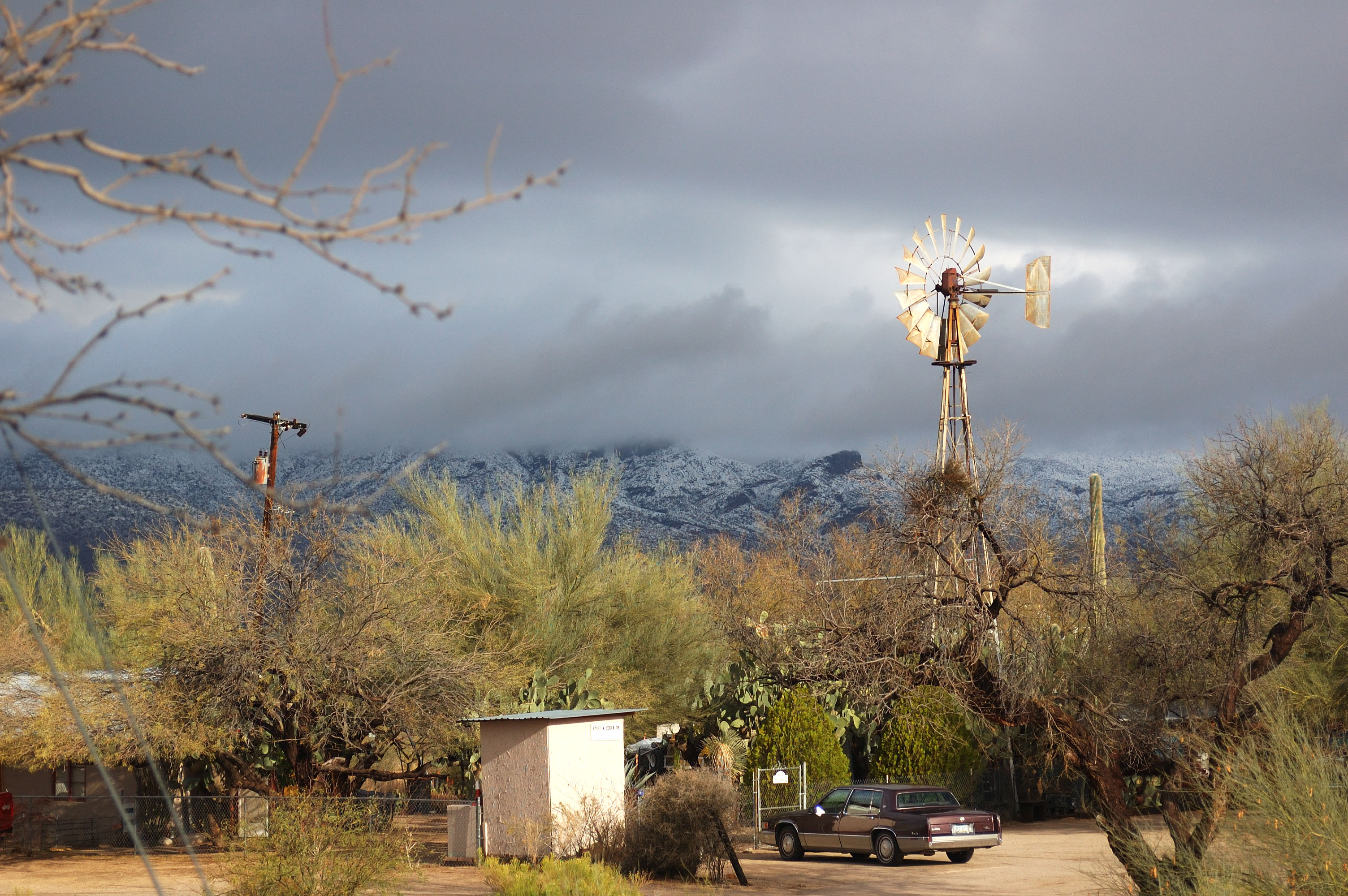
Related Photos:
Another beautiful view from #pinnaclepeak hike this morning

All I Asked Was, "Which Way?"
Flight Path

Arizona Life

Zebra-tailed Lizard
Saguaro Desert Life

This view never gets old #troonnorth

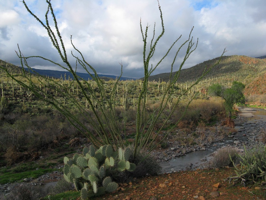
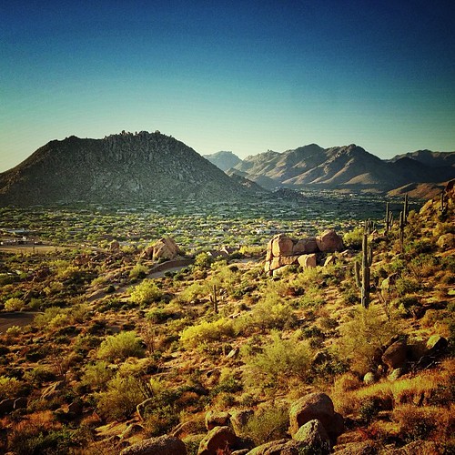
Land of the Giants

Cool Retro Diner Arrow Sign: Big Earl's Greasy Eats, Cave Creek, Close-up, West View
View from #pinnaclepeak highest point #scottsdale

Cool Retro AZ Diner Sign: Big Earl's Greasy Eats, Cave Creek, View to the East

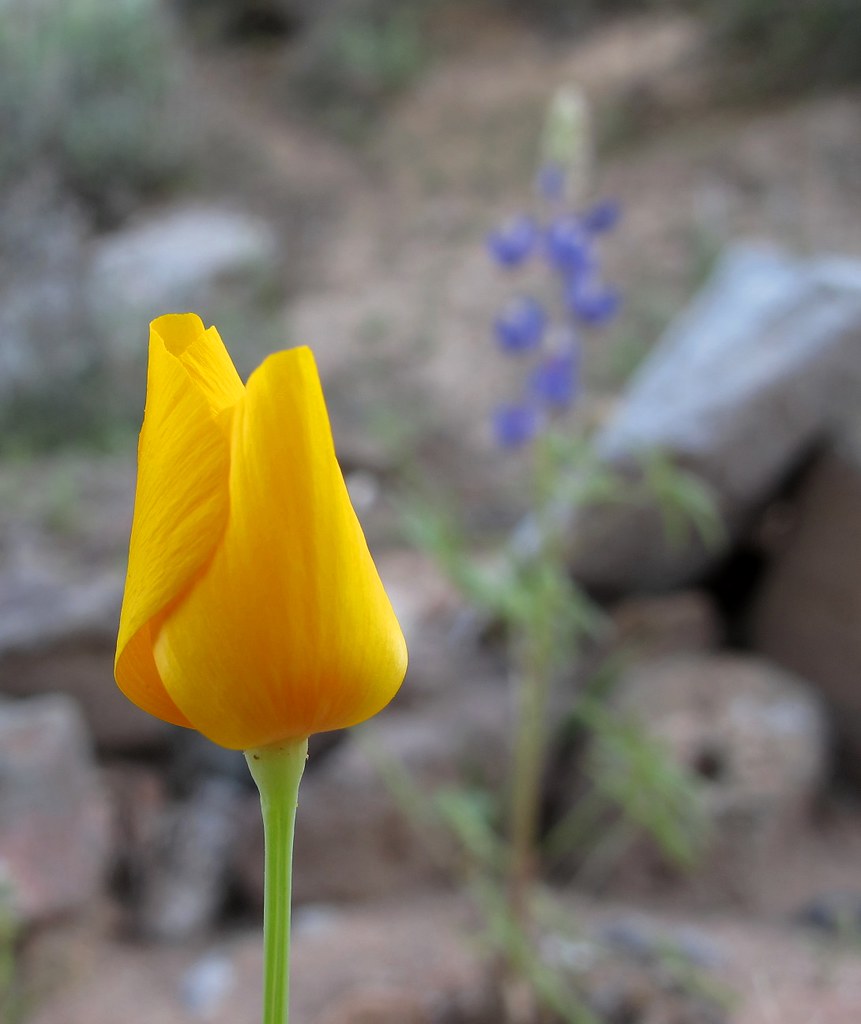
Pink Snow Cactus
El Niño Desert
Desert Horizons
Opening Soon

View to southwest approaching Black Mesa - Spur Cross

USA Surfaces and Textures
The Middle Of Nowhere Shows Its Good Side
39. A landscape view looking south from underneath the Tonto Natural Bridge

Winter in the Sonoran Desert

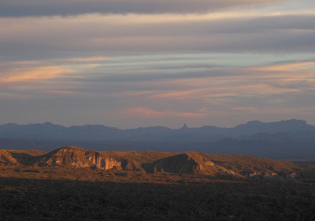
Elephant Mountain Sunrise
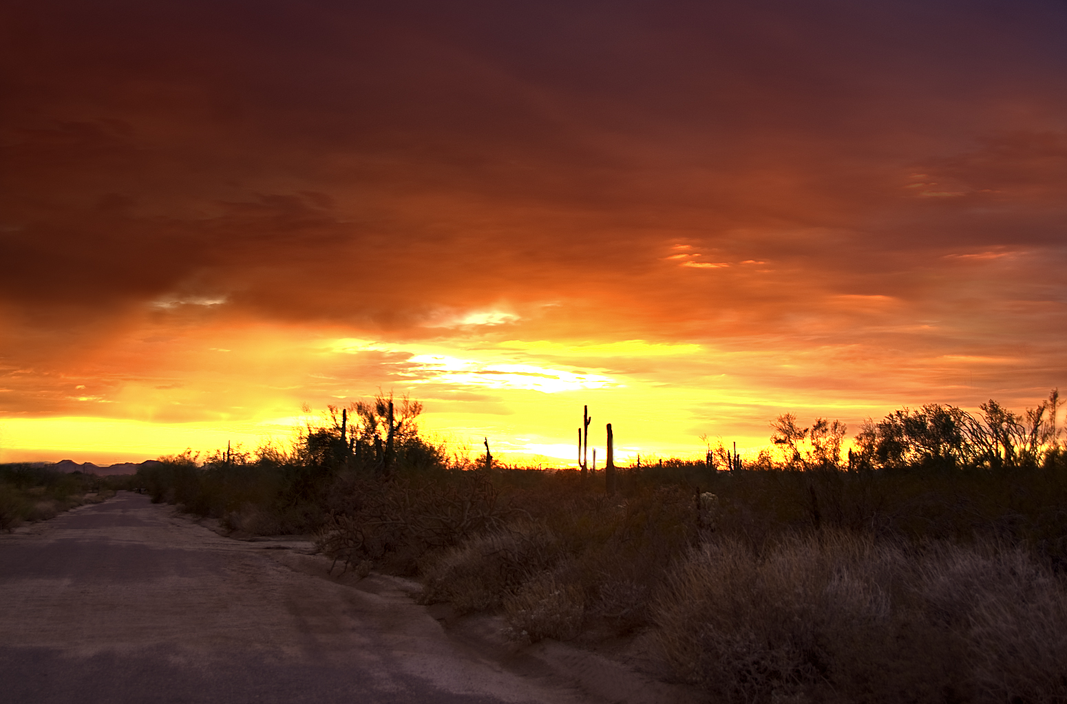
Arizona sunset

Sunset 4.7.13

What a fabulous day in Scottsdale #hike #arizona #hike #scottsdale #pinnaclepeak

Pinnacle Peak from Greasewood Flats
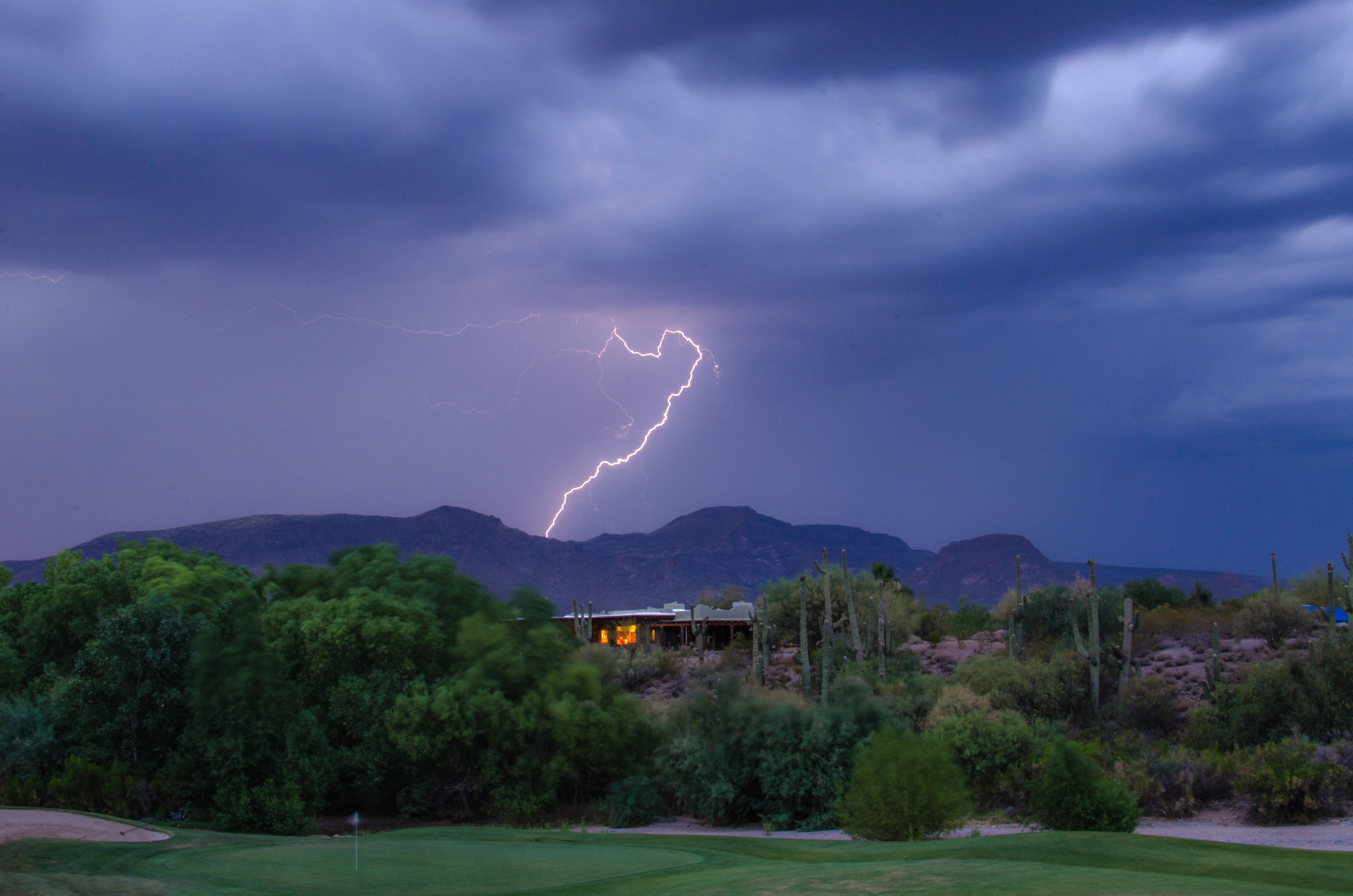
Lightning from Cave Creek

Golf Ball on Renegade

Camelback from Pinnacle Peak
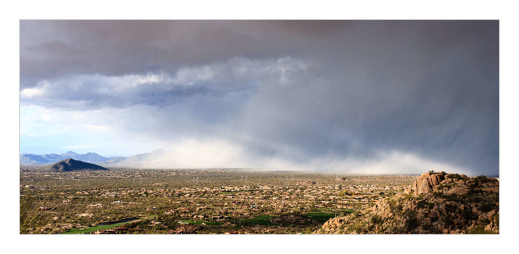
Desert Storm

Soooo do not want to leave this spot right now. 6pm flight, better go change in a few mins :S

Pinnacle Peak
Morning trail run
Pinnacle sunset.
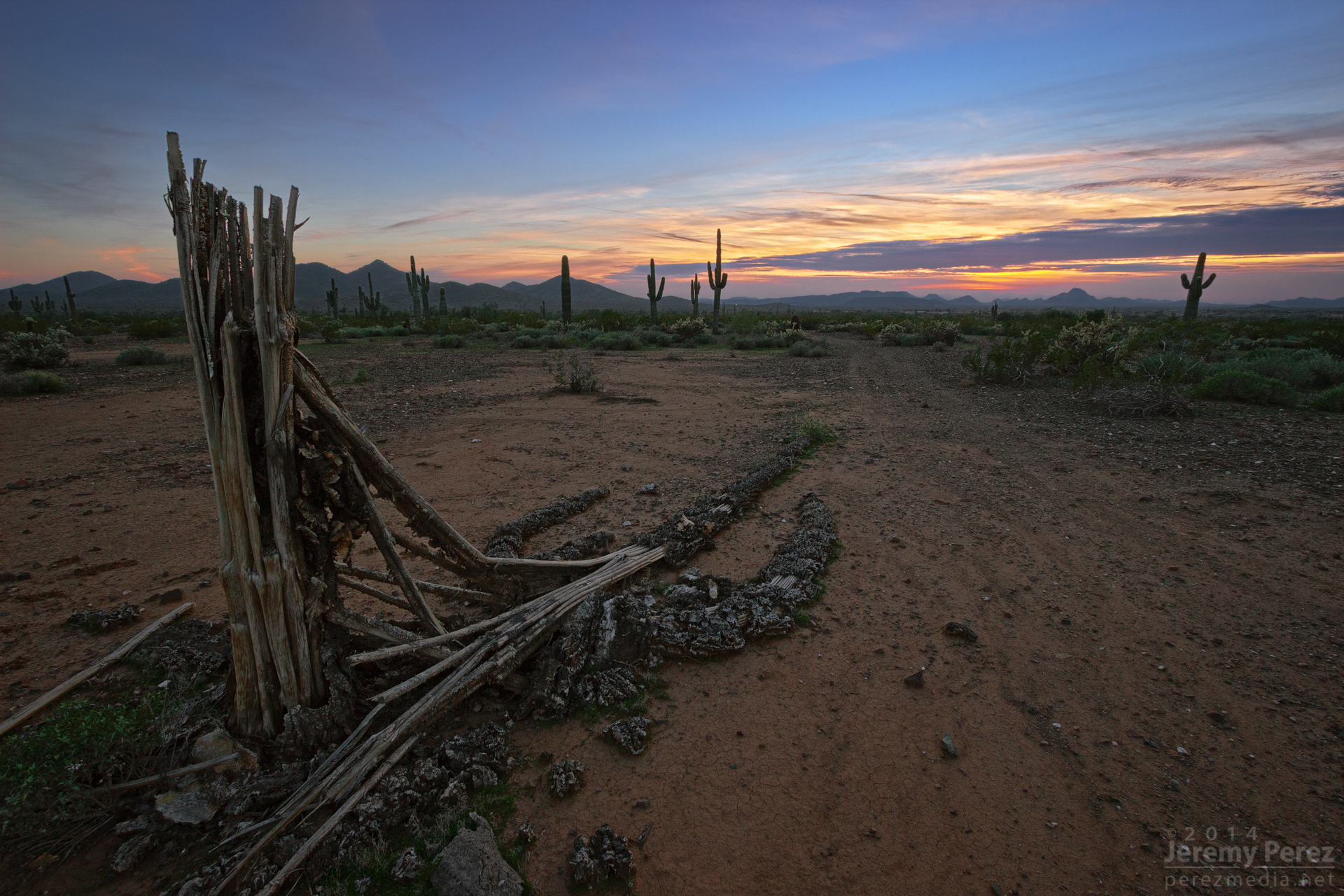
Relic of a Mighty One
#bartlettlake #scottsdale #arizona
#scottsdale
Arizona country scene

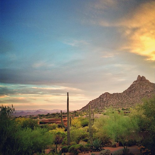
The desert at dusk is so beautiful #instagramaz
Topographic Map of Mountain View, Cave Creek, AZ, USA
Find elevation by address:

Places near Mountain View, Cave Creek, AZ, USA:
38446 N Spur Cross Rd
Cave Creek
6135 E Cave Creek Rd
Rancho Manana Golf Club
Rancho Manana
Desert Forest Park
6231 E Mark Way Unit 42
6024 E Egret St
6799 E Cloud Rd
39330 N Old Stage Rd
Black Mountain
North Cave Creek Road
Black Mountain
East Hawksnest Road
Carefree Sentinel Rock Estates
35602 N Screaming Eagle Pass
5826 E Leisure Ln
Secluded Lane
35025 N El Sendero Rd
Carefree Mountain Estates
Recent Searches:
- Elevation of Warwick, RI, USA
- Elevation of Fern Rd, Whitmore, CA, USA
- Elevation of 62 Abbey St, Marshfield, MA, USA
- Elevation of Fernwood, Bradenton, FL, USA
- Elevation of Felindre, Swansea SA5 7LU, UK
- Elevation of Leyte Industrial Development Estate, Isabel, Leyte, Philippines
- Elevation of W Granada St, Tampa, FL, USA
- Elevation of Pykes Down, Ivybridge PL21 0BY, UK
- Elevation of Jalan Senandin, Lutong, Miri, Sarawak, Malaysia
- Elevation of Bilohirs'k