Elevation of Mountain Road, Mountain Rd, MIDDLETWN SPG, VT, USA
Location: United States > Vermont > Rutland County > Middletown Springs >
Longitude: -73.137647
Latitude: 43.4469959
Elevation: 416m / 1365feet
Barometric Pressure: 96KPa
Elevation Map:
Satellite Map:
Related Photos:

Pawlet Sunrise

Pawlet Sunrise
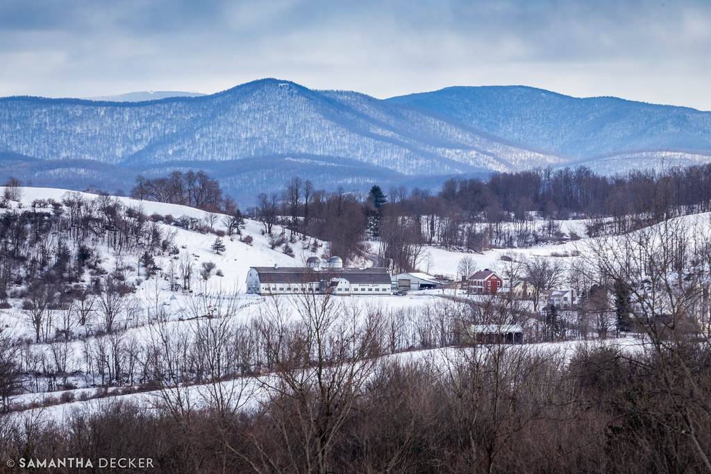
A Rural Winter View

A Farm in Granville

Bokeh(explored)

Before sunset

Strips of colors

Pink Sunrise

Over The Lake

Sunset Glow

Ice Droplets

Through the Branches

A Little bit of color

By The River

Finel Hollow view

Starry night

10/22/12 sunset III

Winter Shadows

Winter Light

Barn at Sunrise

Misty Sunrise
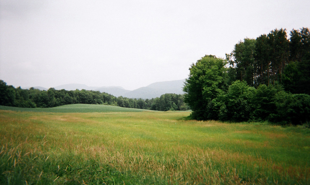
June haze, Warren Switch, Pawlet, VT

Autumn color in Vermont

Orange sunset (Explored)

Barn at sunset(Explored)

Into the sunset

On Fire

Night Sky

Fiery clouds
Topographic Map of Mountain Road, Mountain Rd, MIDDLETWN SPG, VT, USA
Find elevation by address:

Places near Mountain Road, Mountain Rd, MIDDLETWN SPG, VT, USA:
40 Fox Bridge Ln
342 High Chapparal Rd
82 Rocks And Trees Ln
795 Saw Mill Hill Rd
70 E Rd
Parks Drive
Parker Lane
1538 North St
248 Western Shores Rd
1386 W Lake Rd
197 W Lake Rd
205 Thrall Rd
122 On The Green
475 E Main St
Fenton Road
Poultney
Poultney
York Street
50 Poultney Ave
NY-22A, Hampton, NY, USA
Recent Searches:
- Elevation of Pinewood Dr, New Bern, NC, USA
- Elevation of Mountain View, CA, USA
- Elevation of Foligno, Province of Perugia, Italy
- Elevation of Blauwestad, Netherlands
- Elevation of Bella Terra Blvd, Estero, FL, USA
- Elevation of Estates Loop, Priest River, ID, USA
- Elevation of Woodland Oak Pl, Thousand Oaks, CA, USA
- Elevation of Brownsdale Rd, Renfrew, PA, USA
- Elevation of Corcoran Ln, Suffolk, VA, USA
- Elevation of Mamala II, Sariaya, Quezon, Philippines