Elevation of Mountain Pines Place, Sitio Bagalangit Road, Manolo Fortich, Bukidnon, Philippines
Location: Philippines > Northern Mindanao > Bukidnon > Manolo Fortich > Dahilayan >
Longitude: 124.865743
Latitude: 8.2083863
Elevation: 1267m / 4157feet
Barometric Pressure: 87KPa
Elevation Map:
Satellite Map:
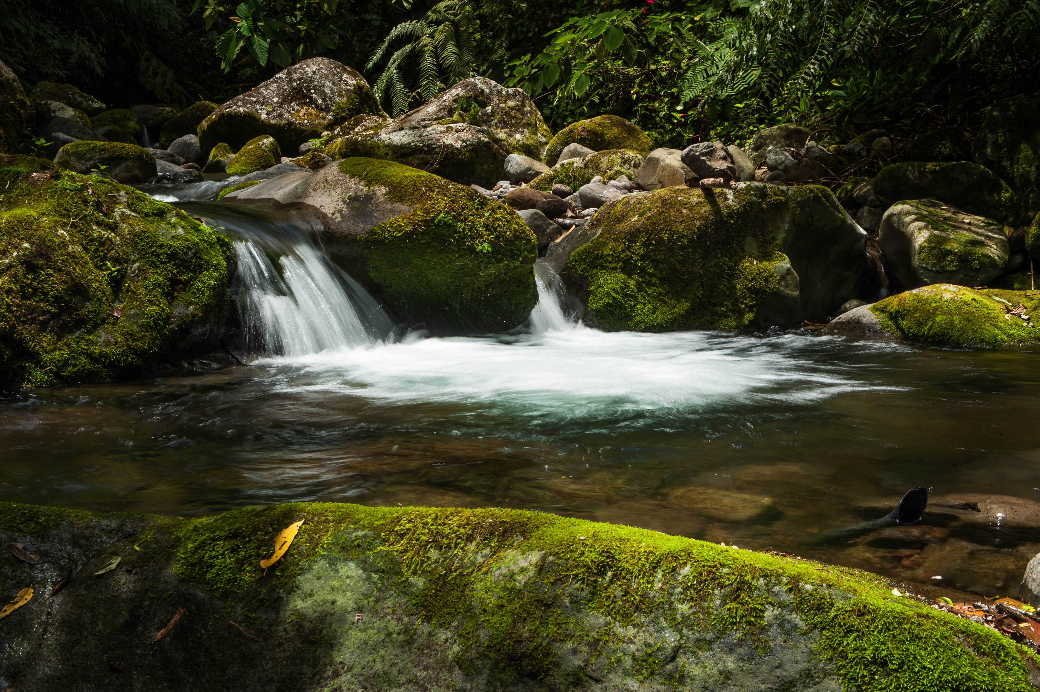
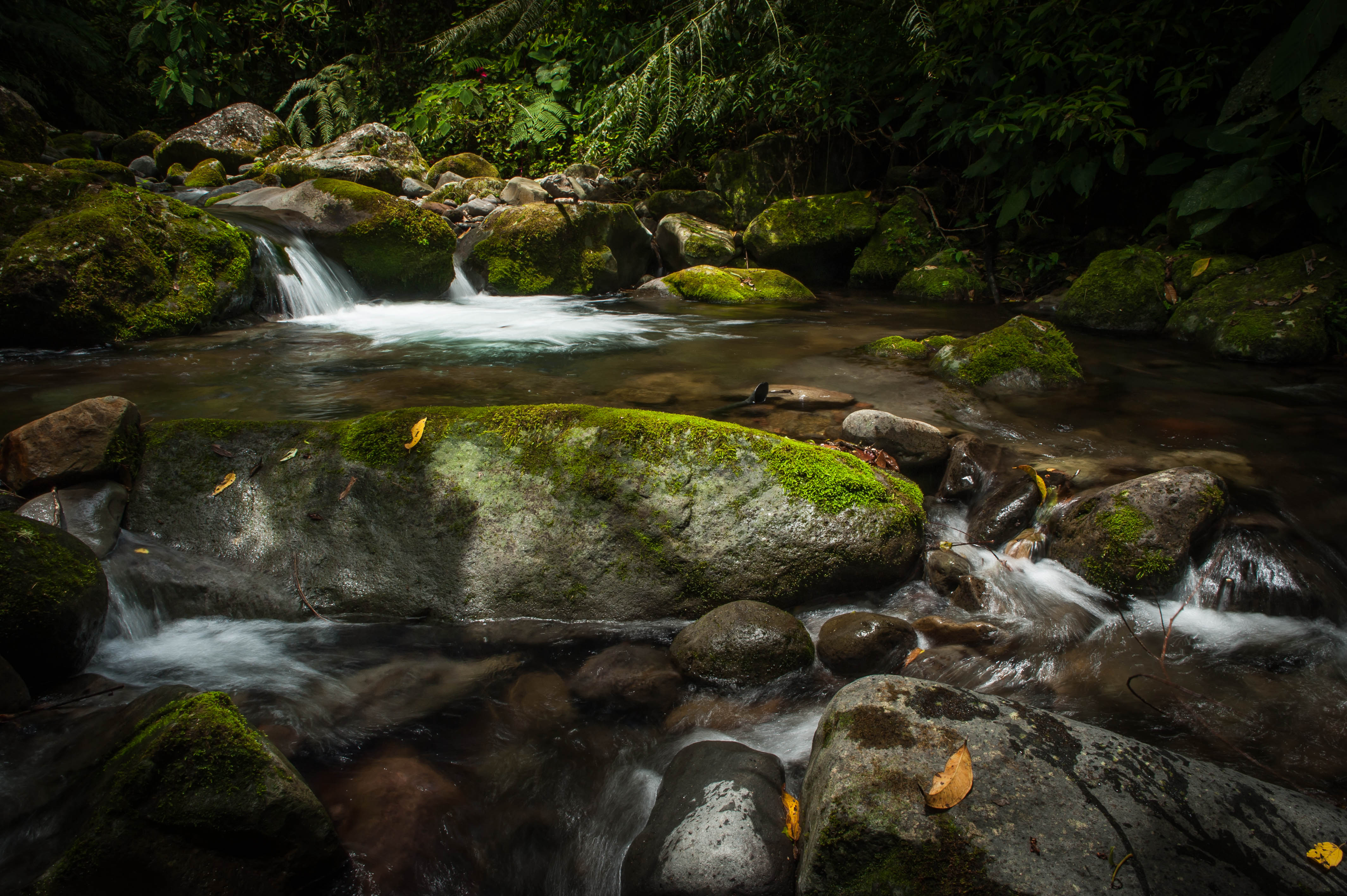
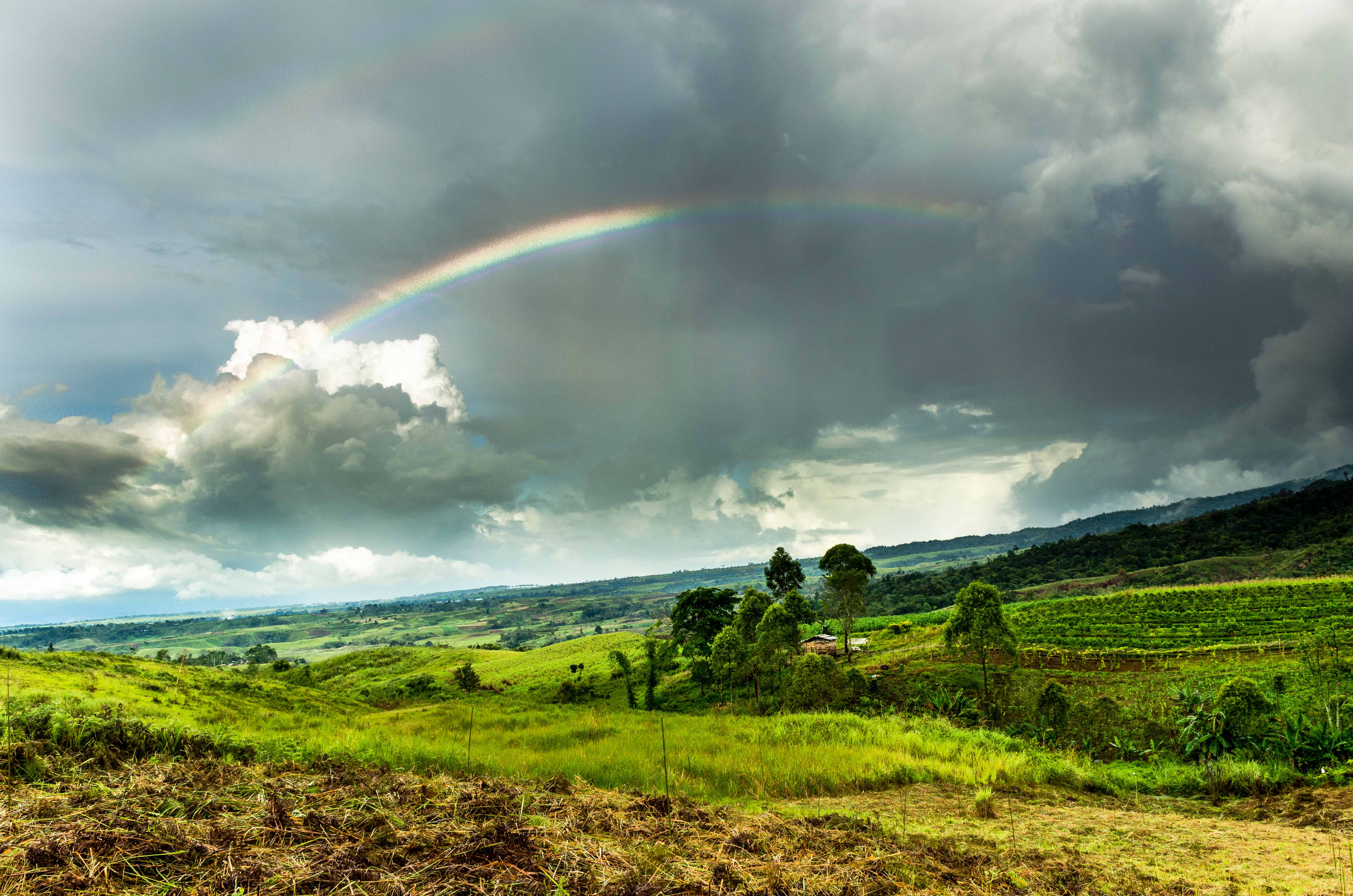
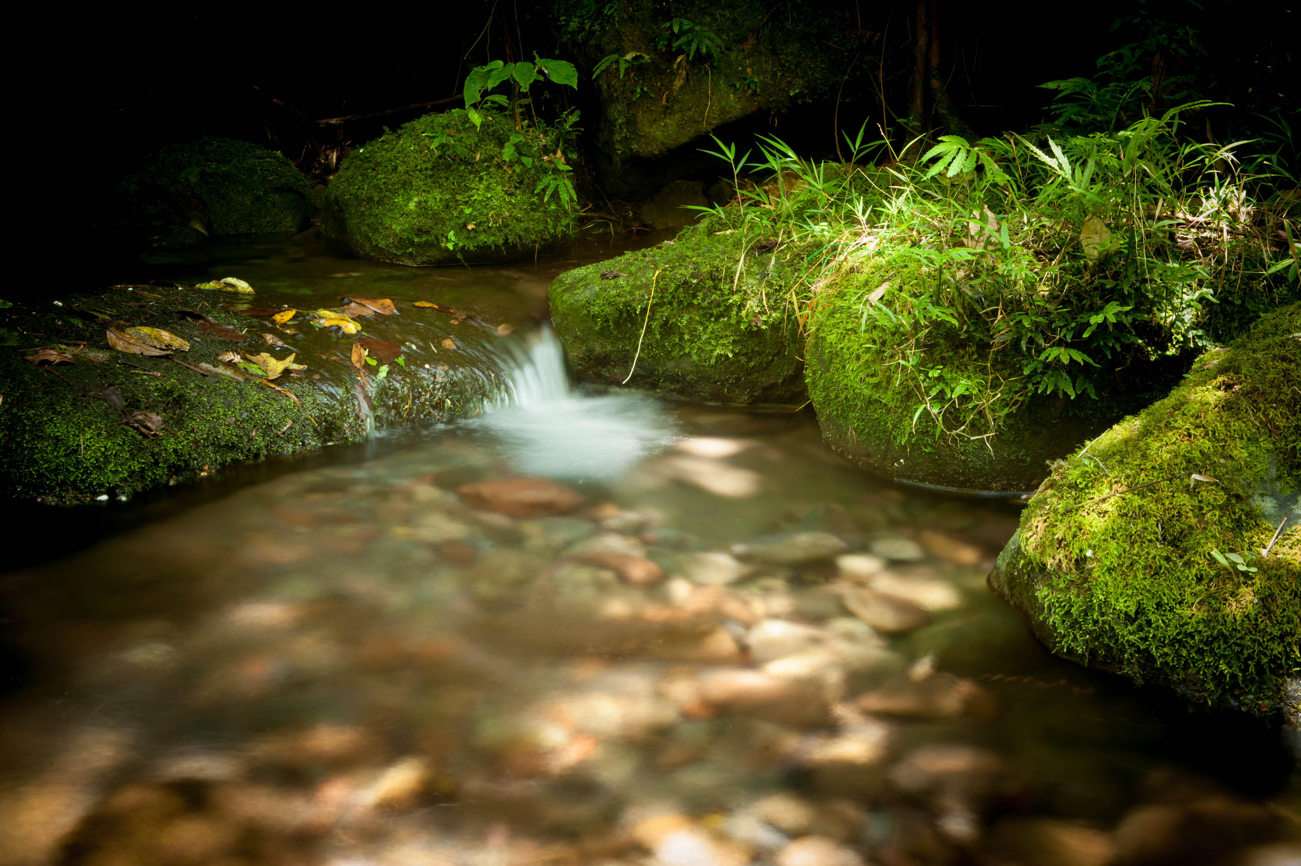
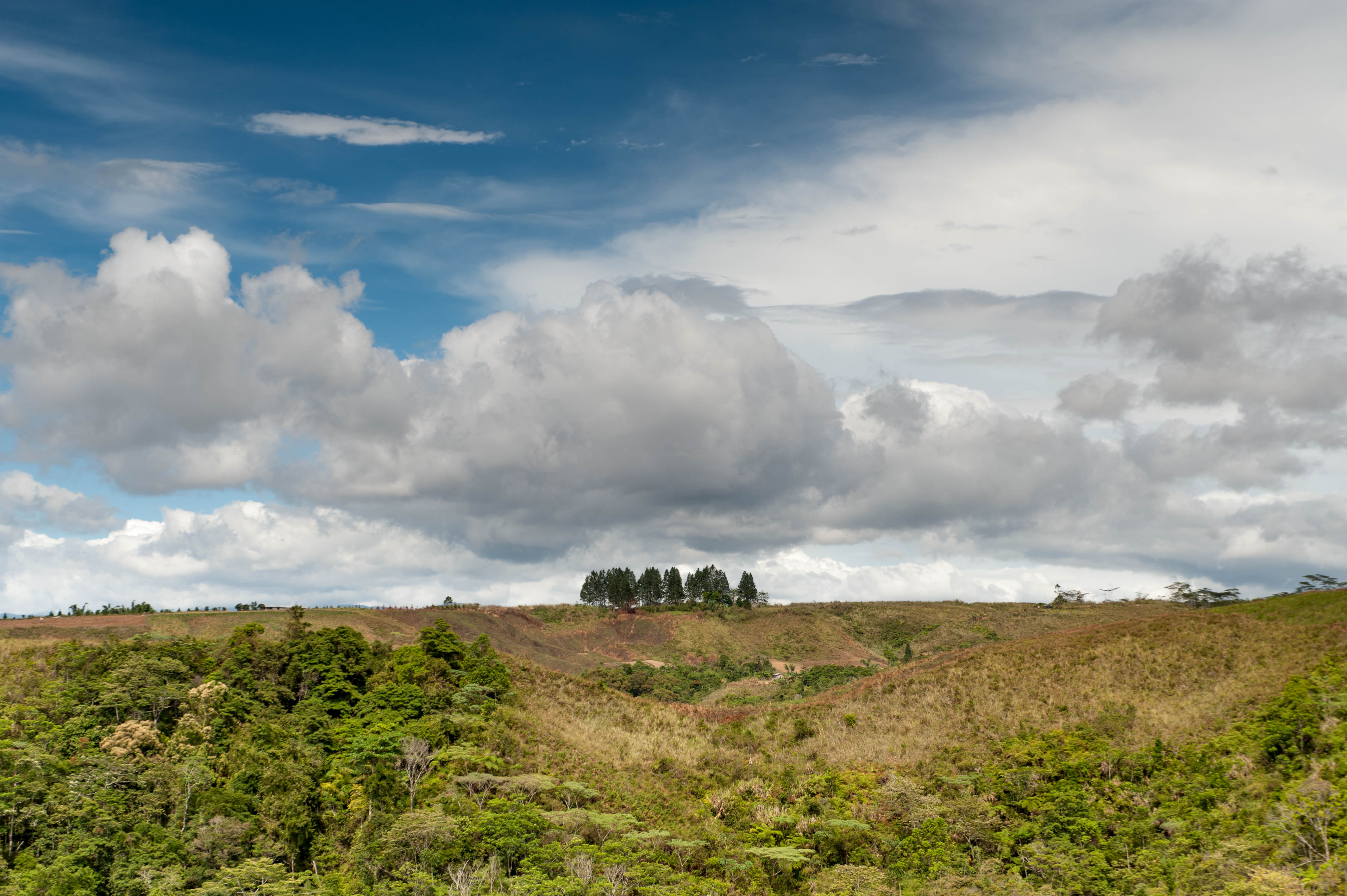
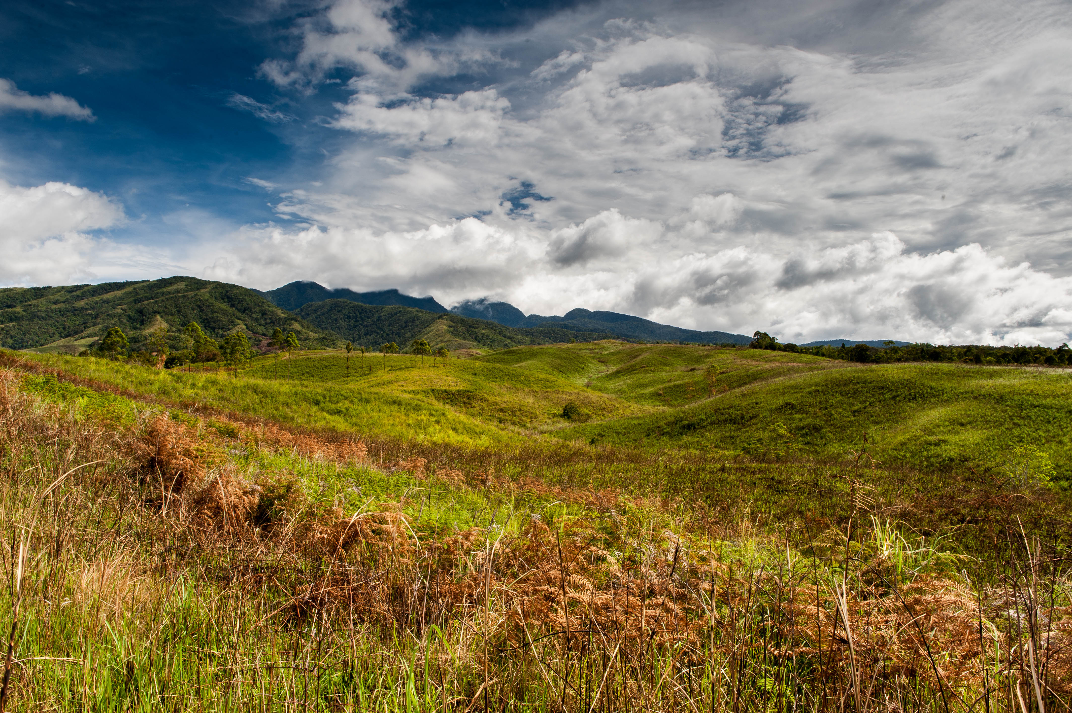
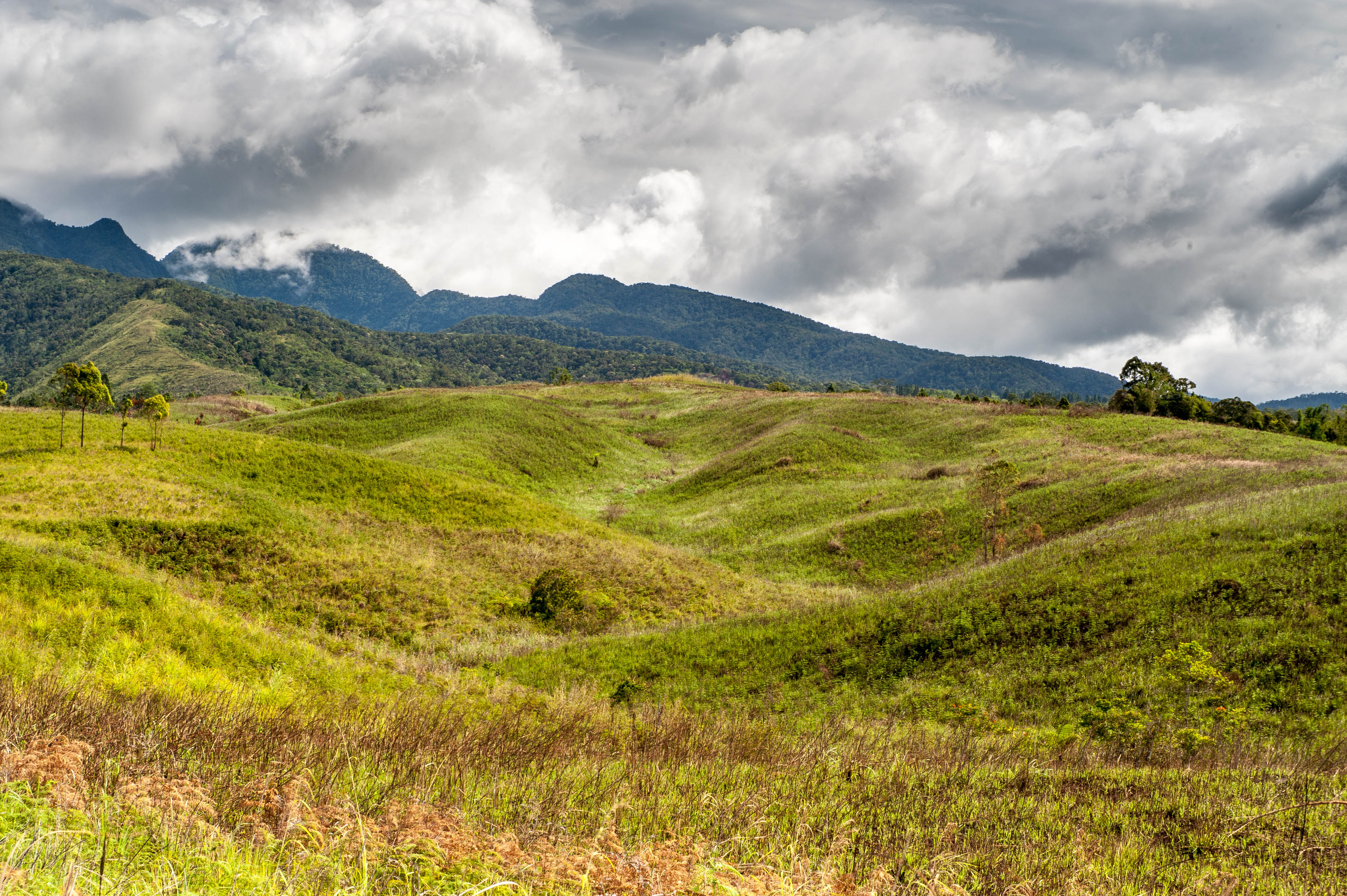
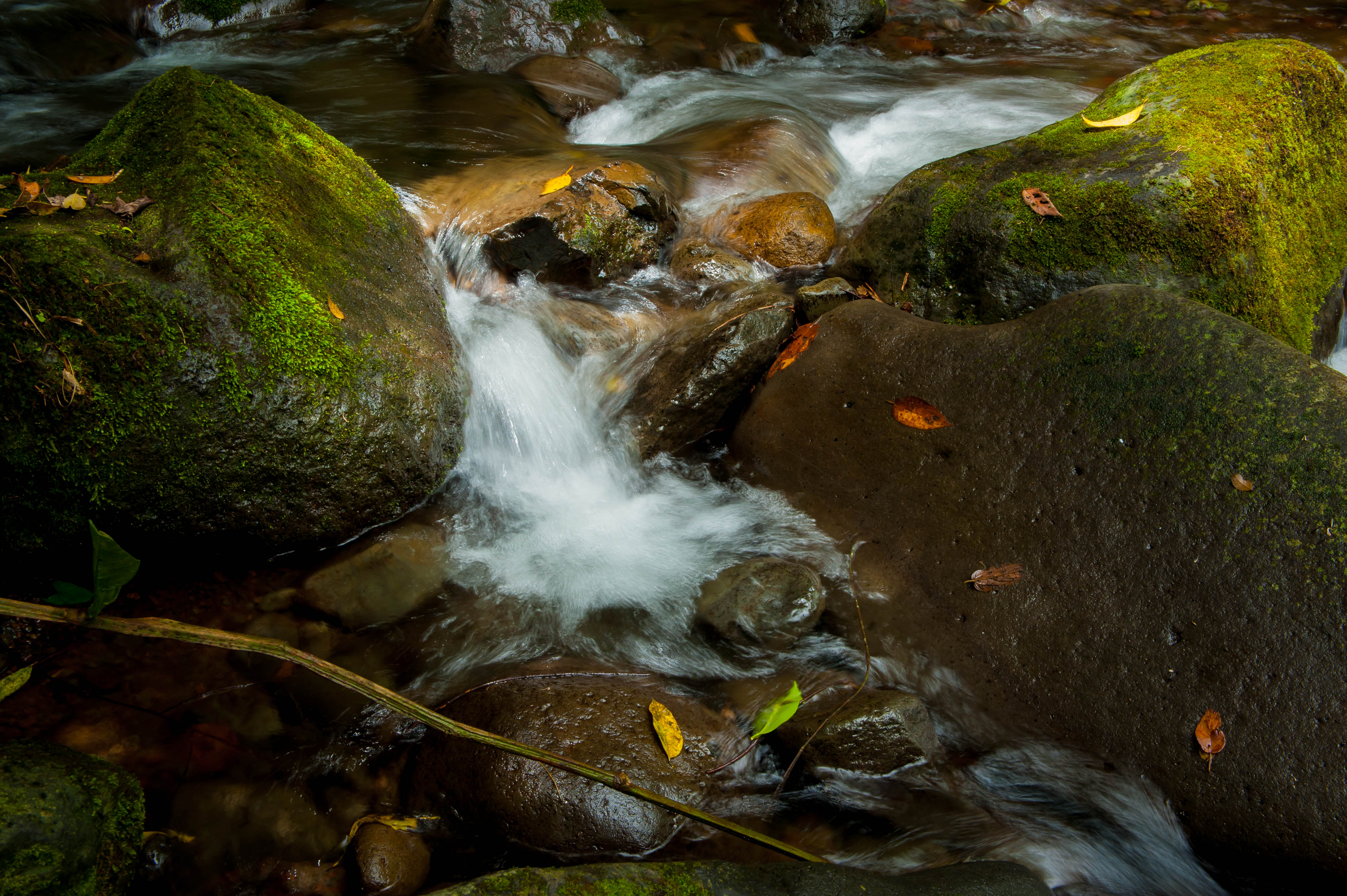
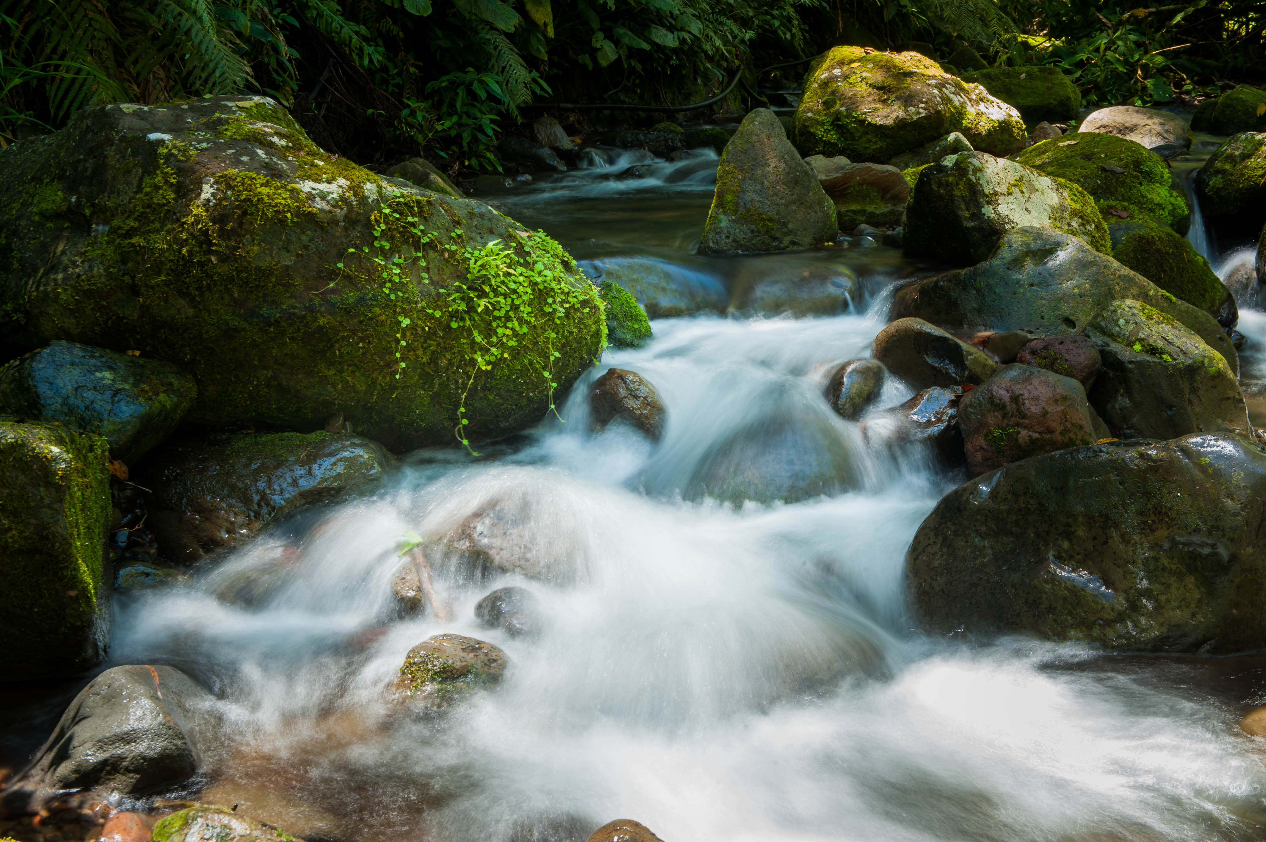
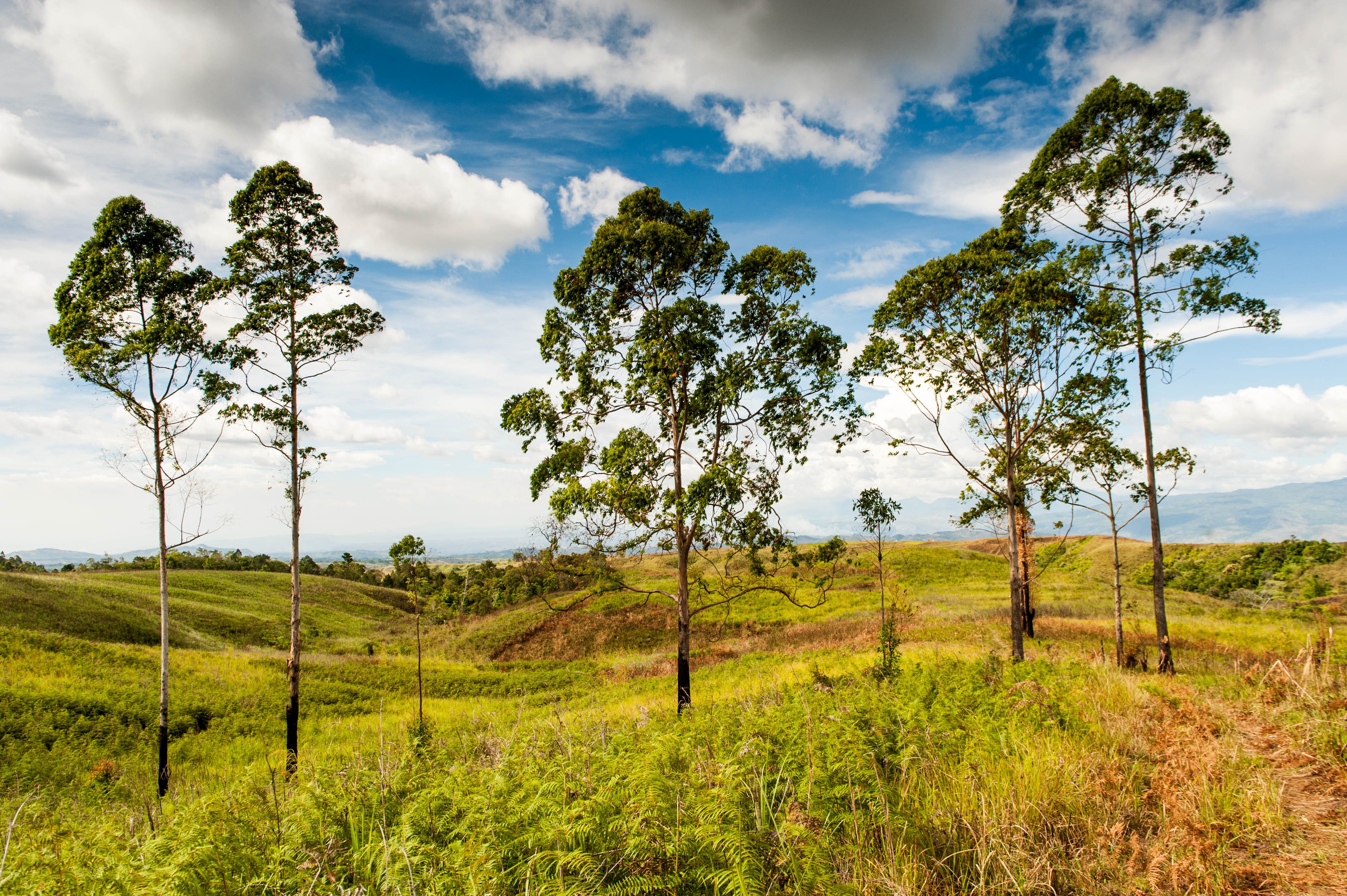
Related Photos:
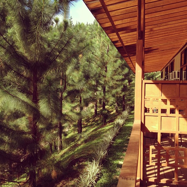
view from our room
DSC_7147.jpg

DSC_4385.jpg
DSC_7113.jpg
20120424-DSC_6674.jpg

mpp polar.jpg

20130521-DSCF2671.jpg
DSC_6898.jpg

20130601-DSC_6391.jpg

DSC_6993.jpg
DSC_2765.jpg

20130525-DSCF2844.jpg
DSC_2785.jpg

20130603-DSC_6783.jpg
DSC_2796.jpg

20130523-DSC_5520.jpg

DSC_2698.jpg

DSC_2871.jpg
DSC_7093.jpg

DSC_6481.jpg
DSC_6784.jpg
DSC_2843.jpg
Topographic Map of Mountain Pines Place, Sitio Bagalangit Road, Manolo Fortich, Bukidnon, Philippines
Find elevation by address:

Places near Mountain Pines Place, Sitio Bagalangit Road, Manolo Fortich, Bukidnon, Philippines:
Dahilayan Adventure Park
Dahilayan Forest Park Resort
Dahilayan Forest Park
Mountain Pines Farm
Dahilayan
Lupiagan
Intavas
Intavas Foursquare Church
Mount Kitanglad
Mount Katanglad
Mount Dulang-dulang
Kibenton
Lirongan
Dalwangan
Malaybalay Stock Farm
Cedar
Da-nomiarc
Center For Ecological Development And Recreation
Dalwangan Elementary School
Mount Kibuwa
Recent Searches:
- Elevation of Hercules Dr, Colorado Springs, CO, USA
- Elevation of Szlak pieszy czarny, Poland
- Elevation of Griffing Blvd, Biscayne Park, FL, USA
- Elevation of Kreuzburger Weg 13, Düsseldorf, Germany
- Elevation of Gateway Blvd SE, Canton, OH, USA
- Elevation of East W.T. Harris Boulevard, E W.T. Harris Blvd, Charlotte, NC, USA
- Elevation of West Sugar Creek, Charlotte, NC, USA
- Elevation of Wayland, NY, USA
- Elevation of Steadfast Ct, Daphne, AL, USA
- Elevation of Lagasgasan, X+CQH, Tiaong, Quezon, Philippines