Elevation of Mountain Lookout Dr, Bostic, NC, USA
Location: United States > North Carolina > Rutherford County > Golden Valley >
Longitude: -81.825805
Latitude: 35.503212
Elevation: 509m / 1670feet
Barometric Pressure: 95KPa
Elevation Map:
Satellite Map:
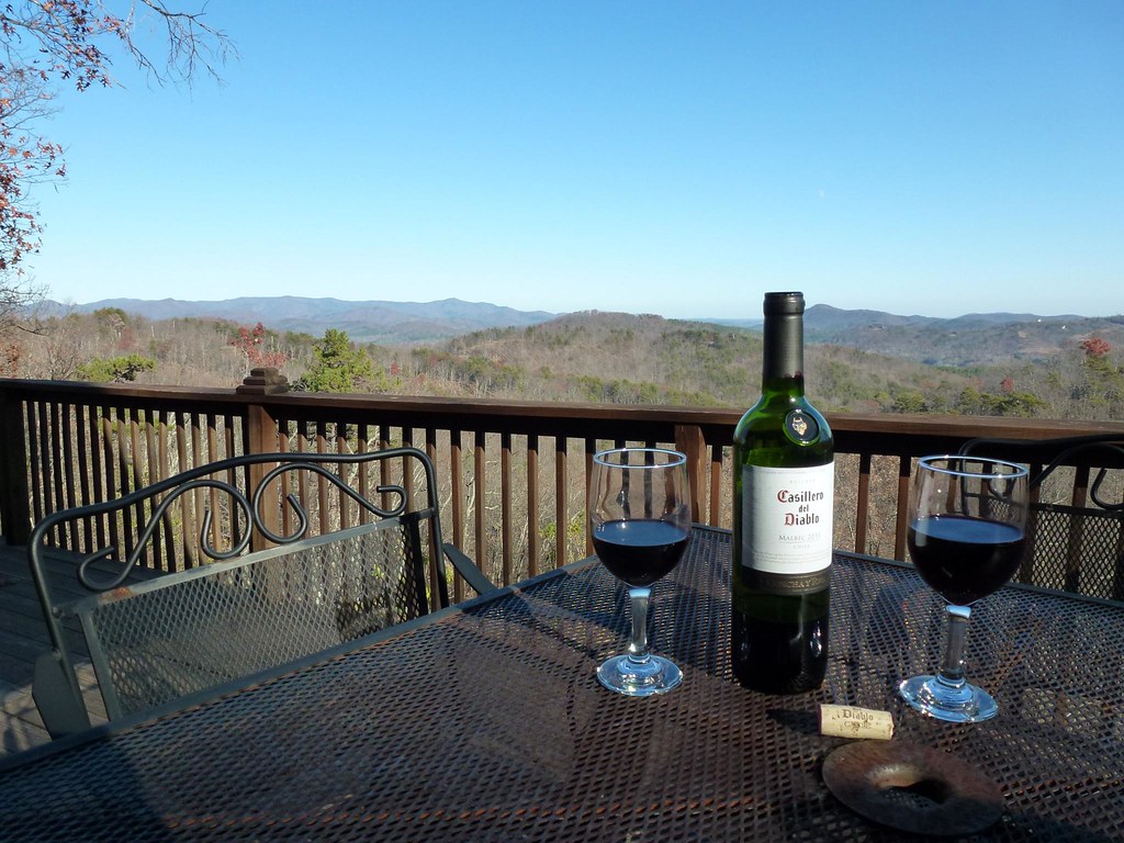
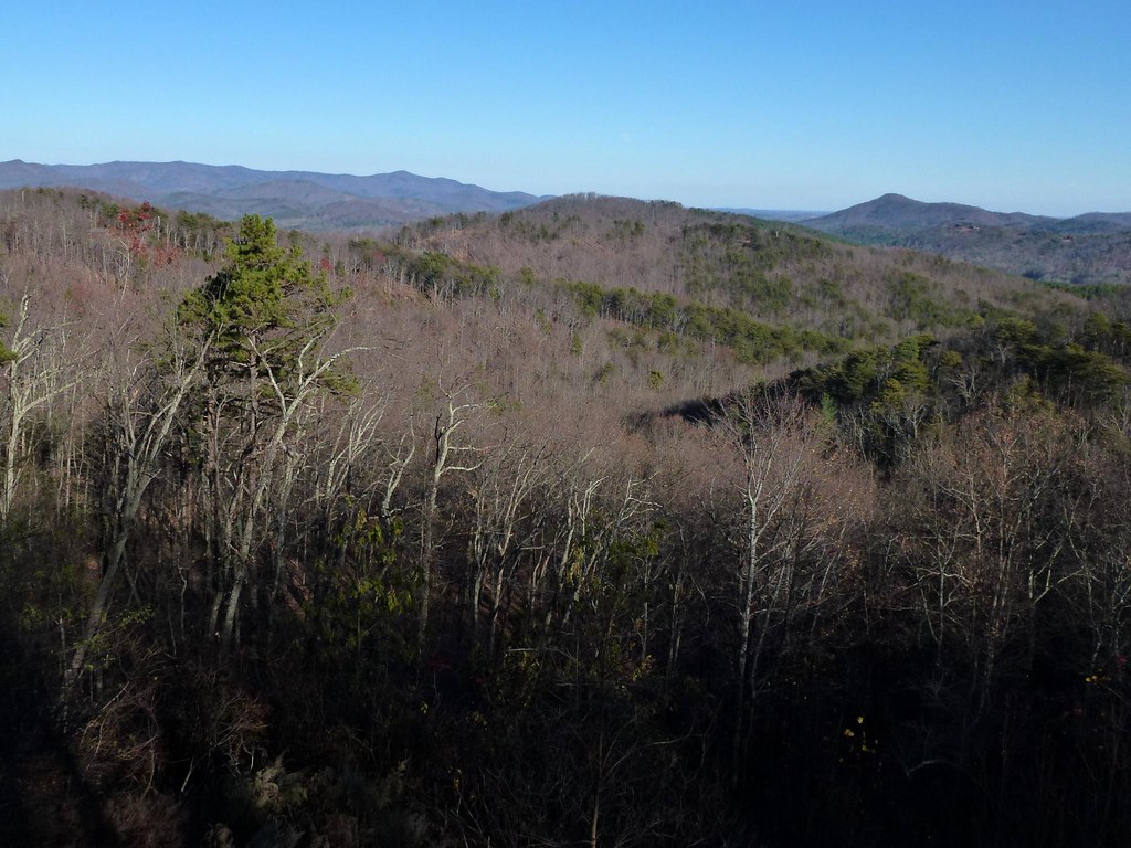
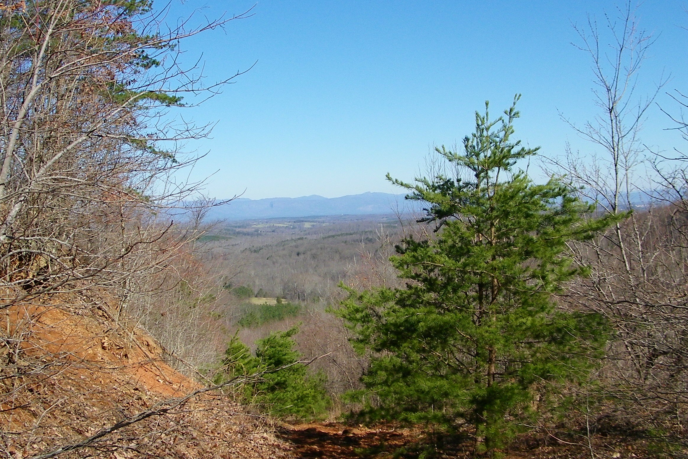
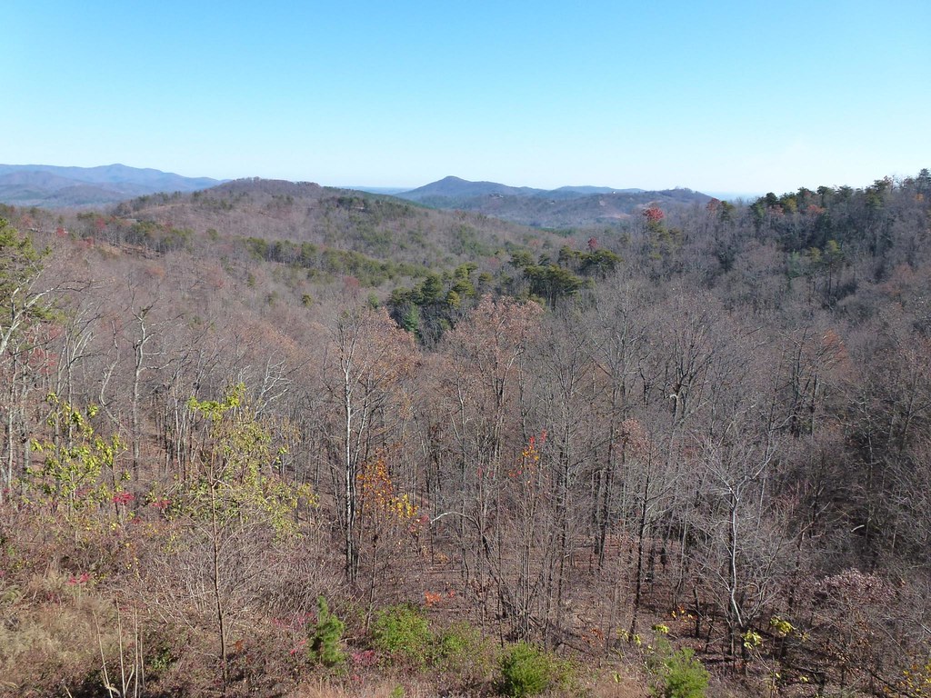
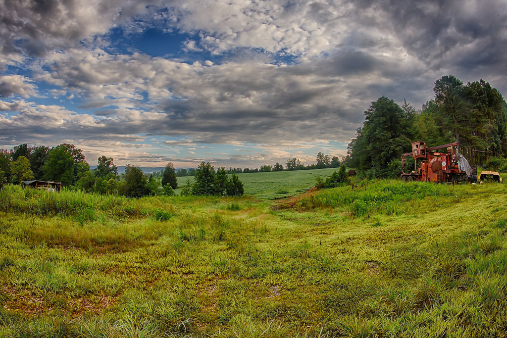
Related Photos:

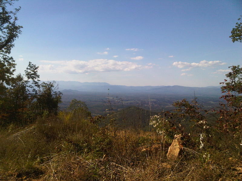
Quiet by the Creekside
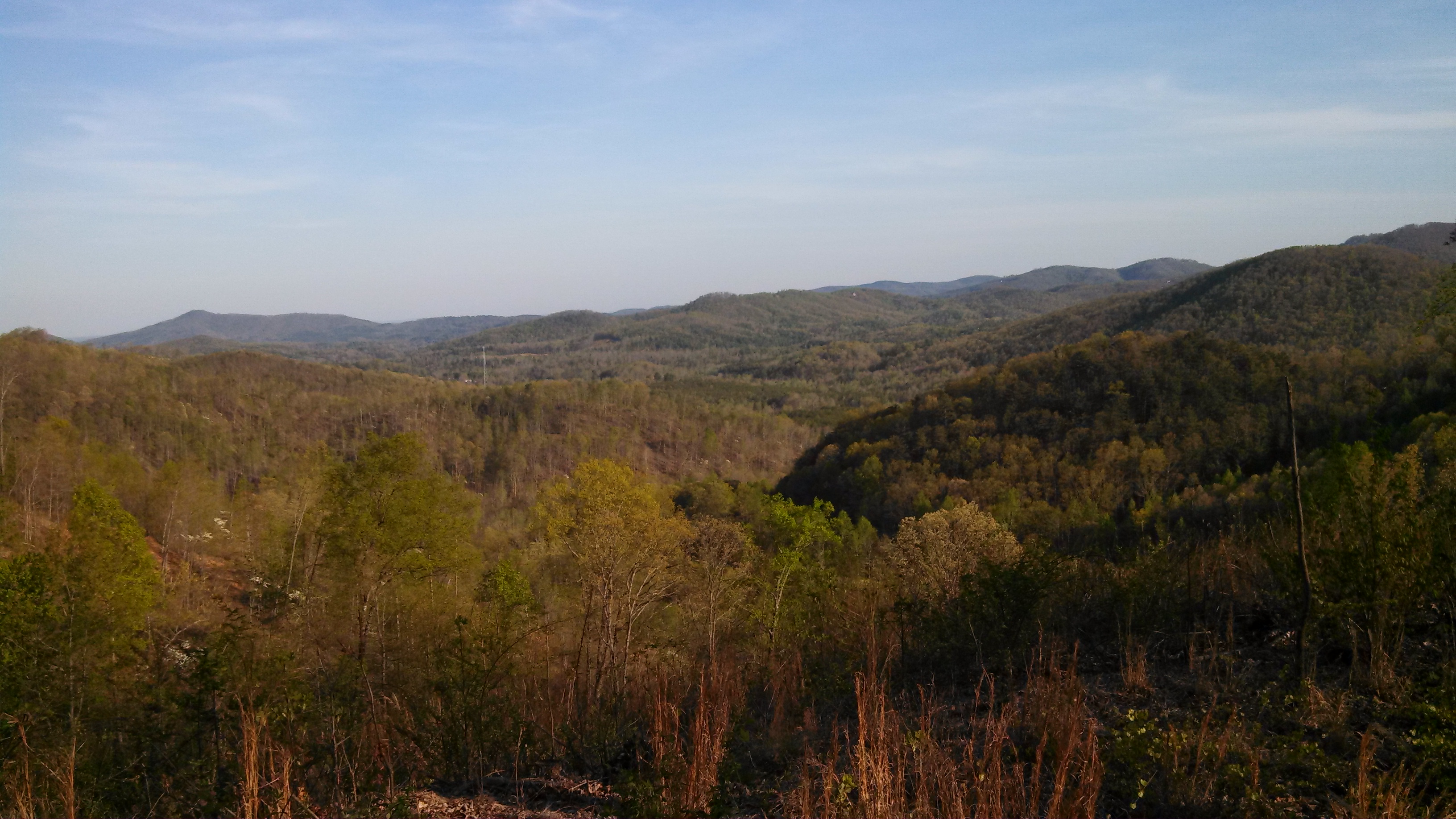
South Mountain Game Lands
After Dinner View
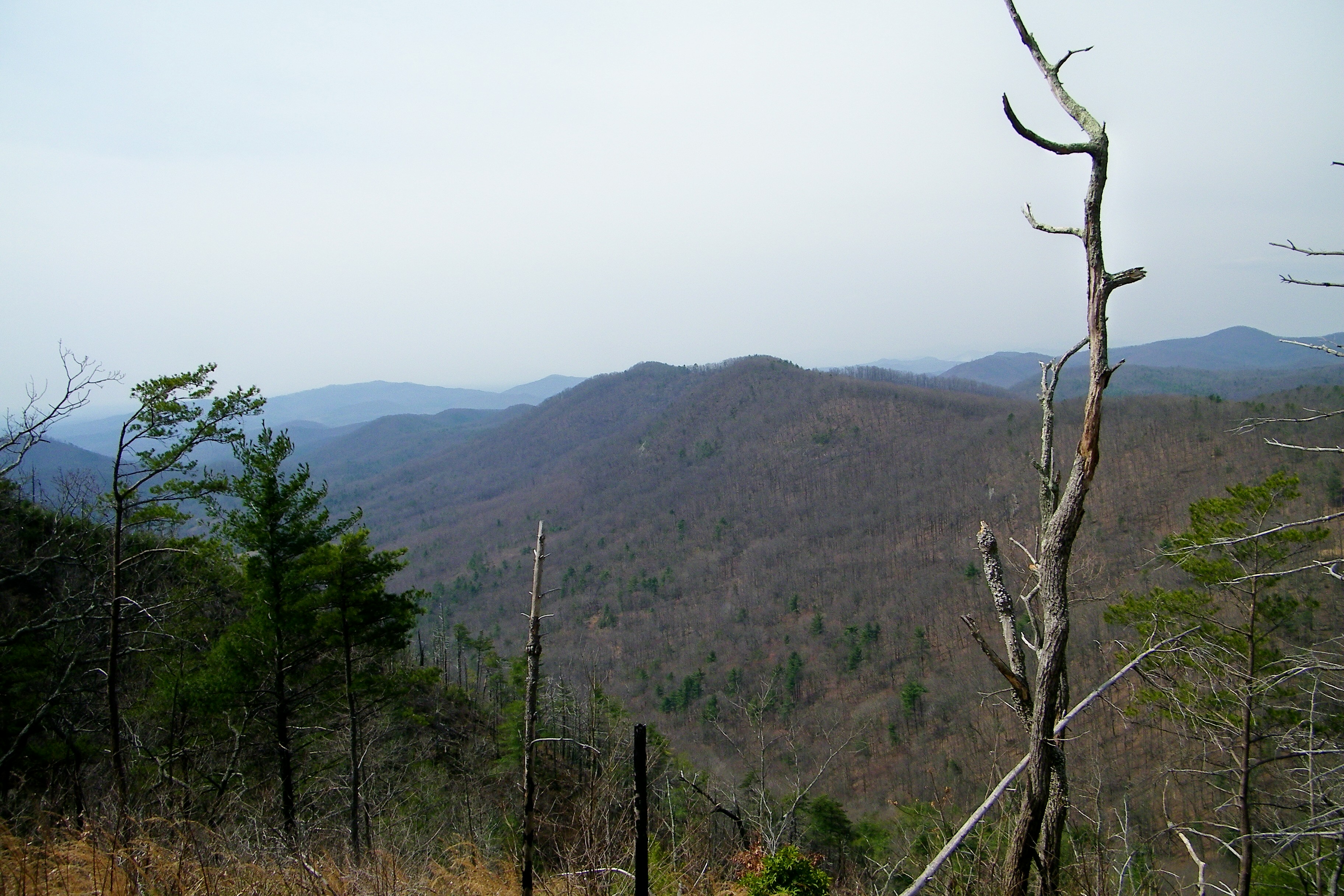
View from the old CCC Road
View from the Deck
Lee & I out scouting for turkey season and for this year's upcoming deer season
View from the Deck

Not a bad view at all and a fun hike. Base of the waterfall at Chimney Rock.

Train Chase [II]

Morning light on Camp Grimes

August 18-2012-127-1
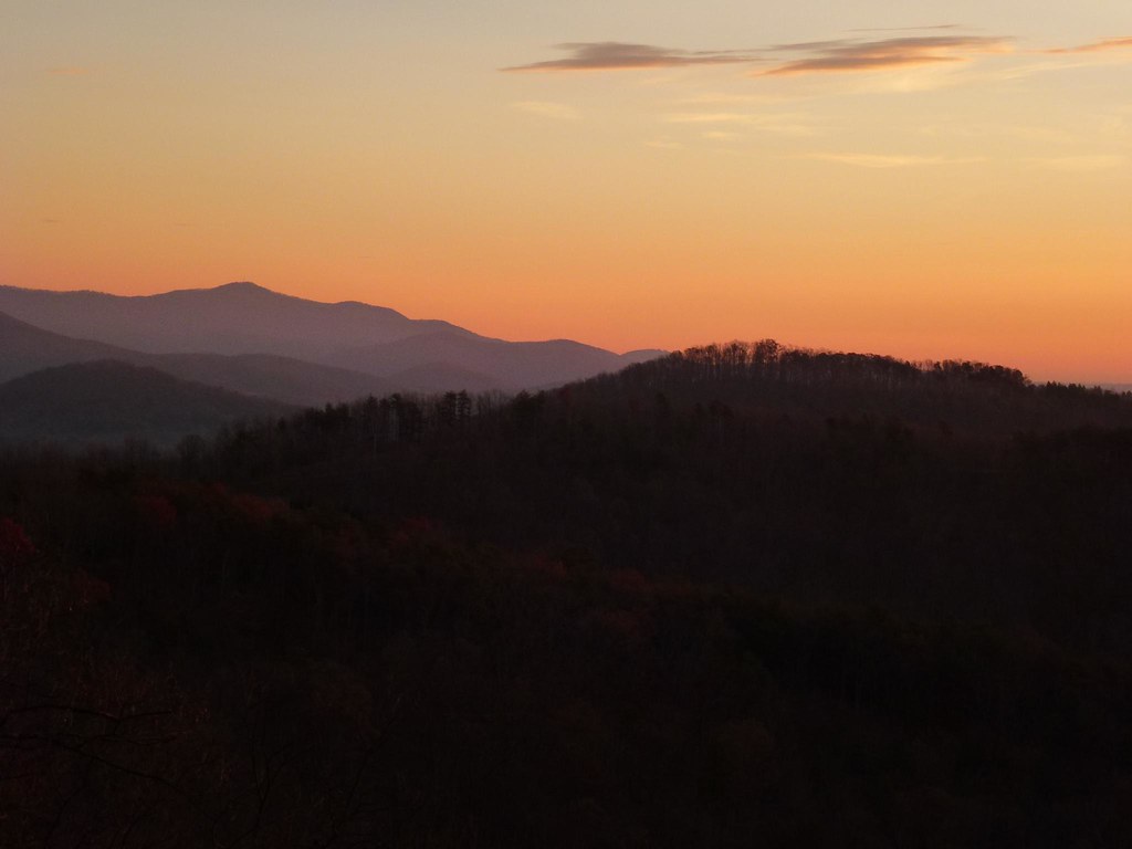
Sunrise from the Deck
A New Day
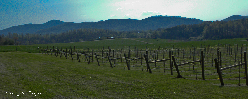
DeMariano Vineyards

August 18-2012-108-TM
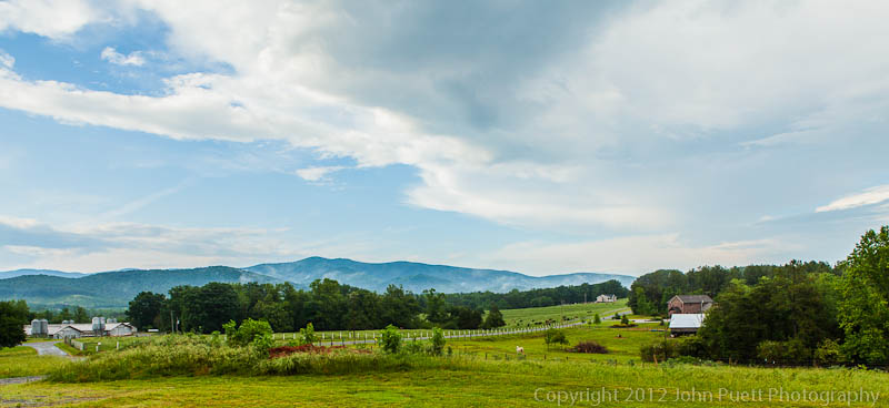
The Sunset Lodge - Vista from Back Porch
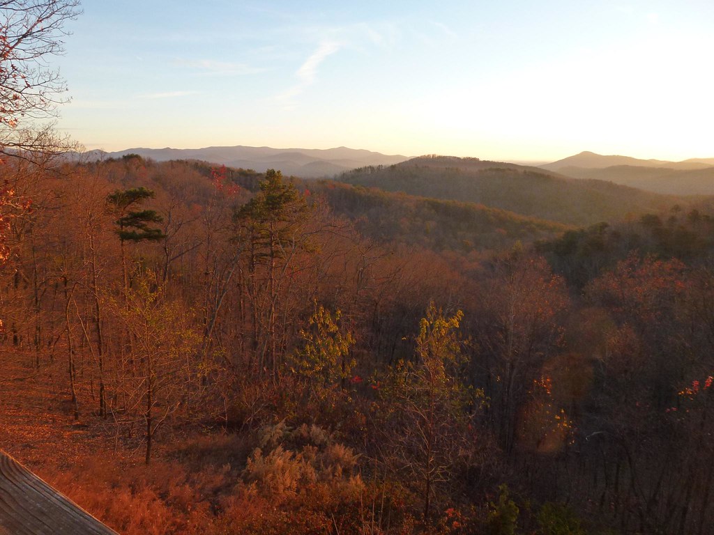
Sunrise from the Deck

DeMariano Vineyard
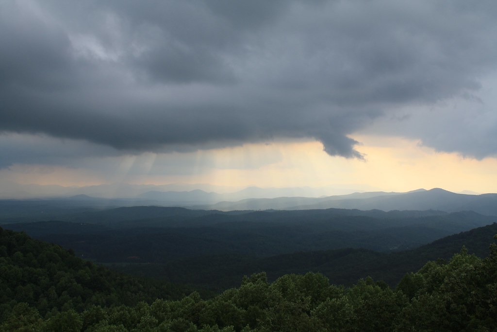
After the Storm

Carolina Country Home

Golden Valley Creek

Golden Valley Creek #2
cabin in morganton 003

The Sunset Lodge - Vista from Back Porch
A Dirt Road in the Country at night
Topographic Map of Mountain Lookout Dr, Bostic, NC, USA
Find elevation by address:

Places near Mountain Lookout Dr, Bostic, NC, USA:
182 Mountain Lookout Dr
197 Valley View Dr
1691 Arbra Mountain Way
202 Fall Creek Dr
202 Fall Creek Dr
202 Fall Creek Dr
202 Fall Creek Dr
788 Arbra Mountain Rd
694 Arbra Mountain Rd
694 Arbra Mountain Way
352 Arbra Mountain Rd
503 Summit Pkwy
379 Valley Hills Dr
409 Adirondack Ln
290 Arbra Mountain Rd
290 Arbra Mountain Way
537 Summit Pkwy
107 Woodgate Dr
145 Azule Ridge Dr
Recent Searches:
- Elevation of W Granada St, Tampa, FL, USA
- Elevation of Pykes Down, Ivybridge PL21 0BY, UK
- Elevation of Jalan Senandin, Lutong, Miri, Sarawak, Malaysia
- Elevation of Bilohirs'k
- Elevation of 30 Oak Lawn Dr, Barkhamsted, CT, USA
- Elevation of Luther Road, Luther Rd, Auburn, CA, USA
- Elevation of Unnamed Road, Respublika Severnaya Osetiya — Alaniya, Russia
- Elevation of Verkhny Fiagdon, North Ossetia–Alania Republic, Russia
- Elevation of F. Viola Hiway, San Rafael, Bulacan, Philippines
- Elevation of Herbage Dr, Gulfport, MS, USA