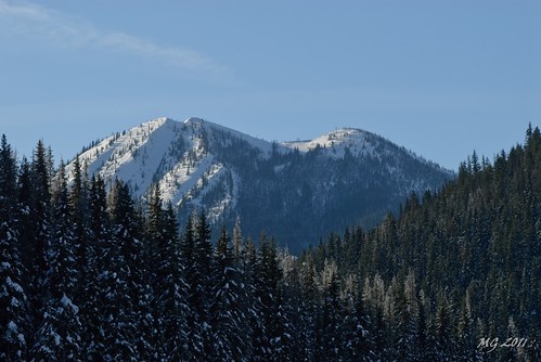
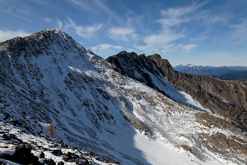
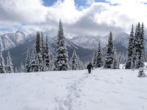
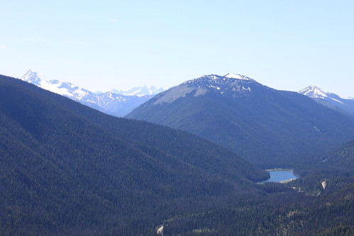
Elevation of Mount Winthrop, Mt Winthrop, Washington, USA
Location: United States > Washington > Okanogan County >
Longitude: -120.76733
Latitude: 48.972914
Elevation: 2289m / 7510feet
Barometric Pressure: 77KPa
Related Photos:
Topographic Map of Mount Winthrop, Mt Winthrop, Washington, USA
Find elevation by address:

Places near Mount Winthrop, Mt Winthrop, Washington, USA:
Blizzard Peak
Pacific Crest Trail - Northern Terminus
Three Fools Peak
Soda Peak
Smoky Mountain
Manning Park Resort
Manning Park
Castle Peak
Powder Mountain
Cascade Lookout
Lightning Lake
Holman Peak
Joker Mountain
Freezeout Mountain
Shull Mountain
Holdover Ridge
E. C. Manning Provincial Park
Chuwanten Mountain
Scimitar Knoll
Allison Pass
Recent Searches:
- Elevation of Corso Fratelli Cairoli, 35, Macerata MC, Italy
- Elevation of Tallevast Rd, Sarasota, FL, USA
- Elevation of 4th St E, Sonoma, CA, USA
- Elevation of Black Hollow Rd, Pennsdale, PA, USA
- Elevation of Oakland Ave, Williamsport, PA, USA
- Elevation of Pedrógão Grande, Portugal
- Elevation of Klee Dr, Martinsburg, WV, USA
- Elevation of Via Roma, Pieranica CR, Italy
- Elevation of Tavkvetili Mountain, Georgia
- Elevation of Hartfords Bluff Cir, Mt Pleasant, SC, USA
