Elevation of Mount Umunhum, Mt Umunhum, California, USA
Location: United States > California > Santa Clara County > Los Gatos >
Longitude: -121.89856
Latitude: 37.1605016
Elevation: 803m / 2635feet
Barometric Pressure: 92KPa
Elevation Map:
Satellite Map:
Related Photos:

Loch Lomond
Uvas Canyon County Park, CA

Midnight from Lila's porch

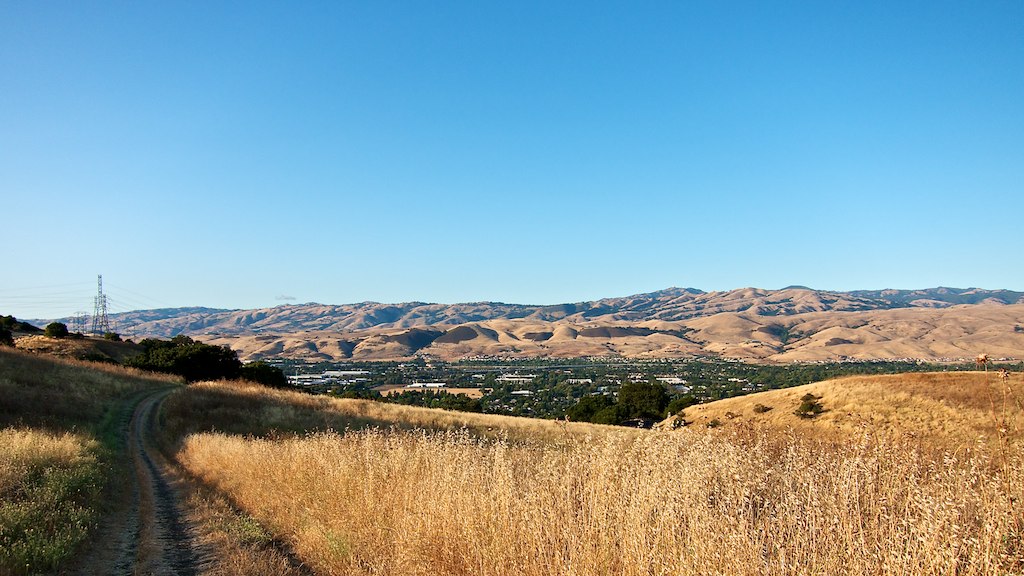
San Jose viewed from Almaden Quicksilver park
View from the Mine Trail Near Dusk
UP HIGH

Uvas Canyon

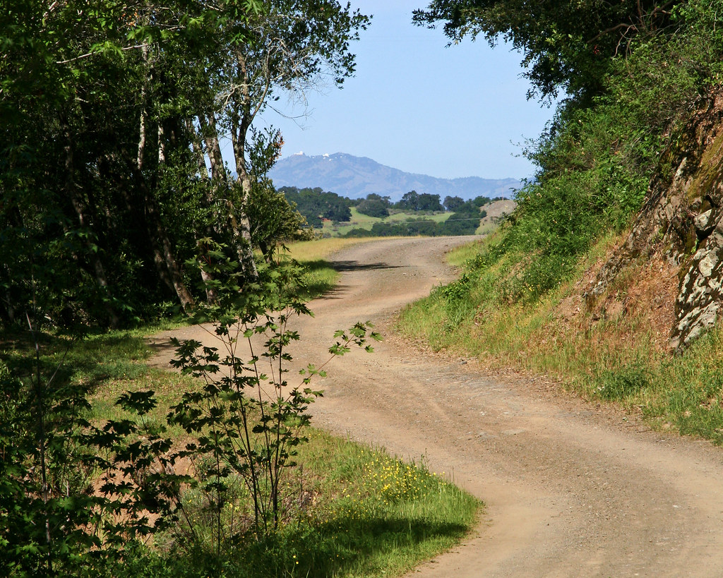
Weaver Road

My present view

Fog over the Valley
Hellyer County Park

Fall leaves I

Oak Hill Cross
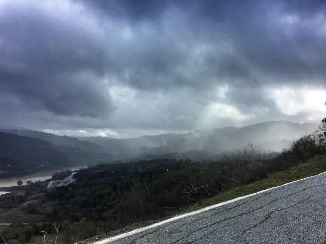
Quick stop in the Los Altos mountains on way to #SantaCruz today. Got caught in the rain but the views are to die for #MotoADV #AdventureRiding
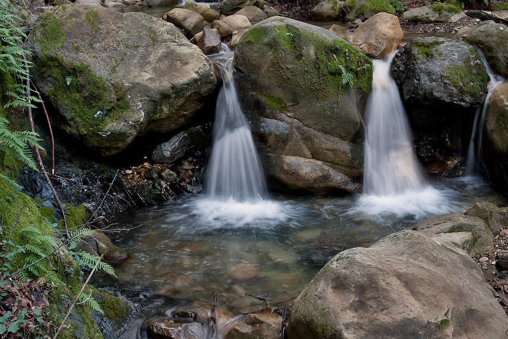
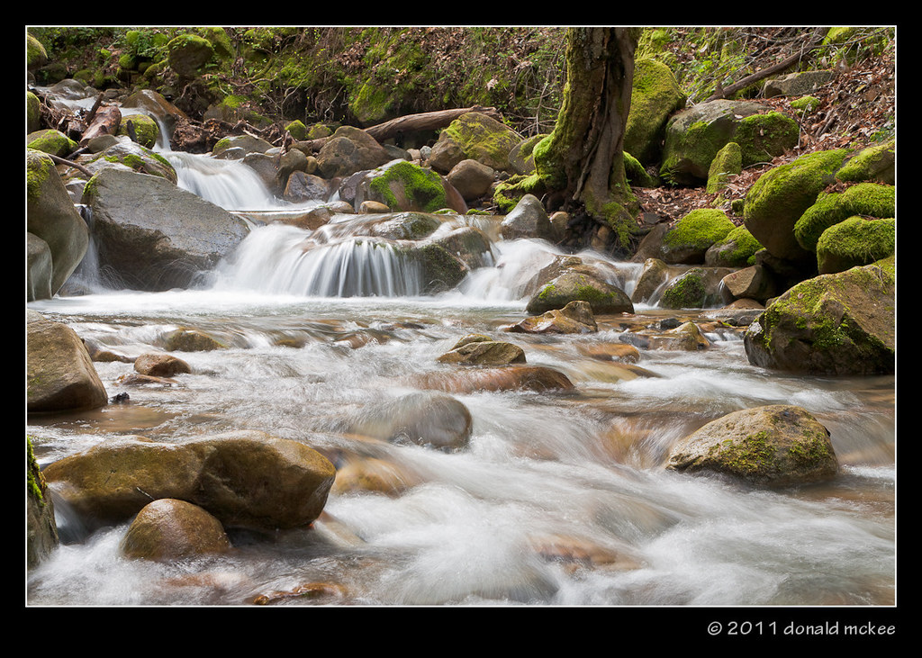
Uvas Canyon Waterfall

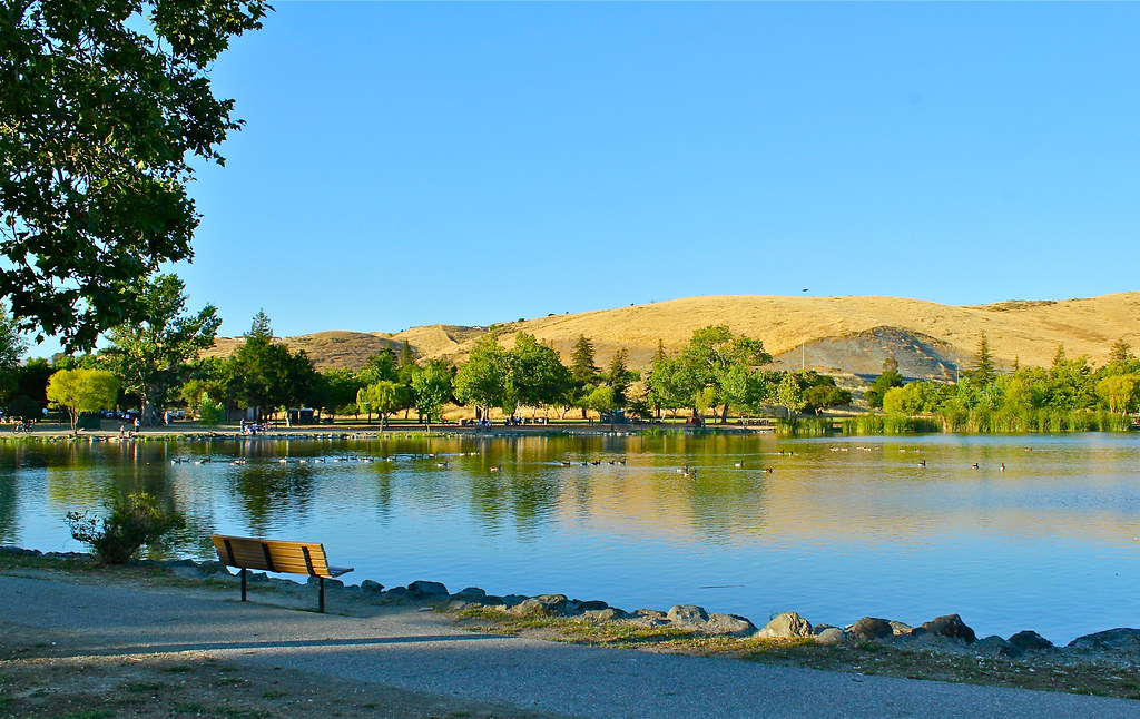
Vasona Lake, Los Gatos
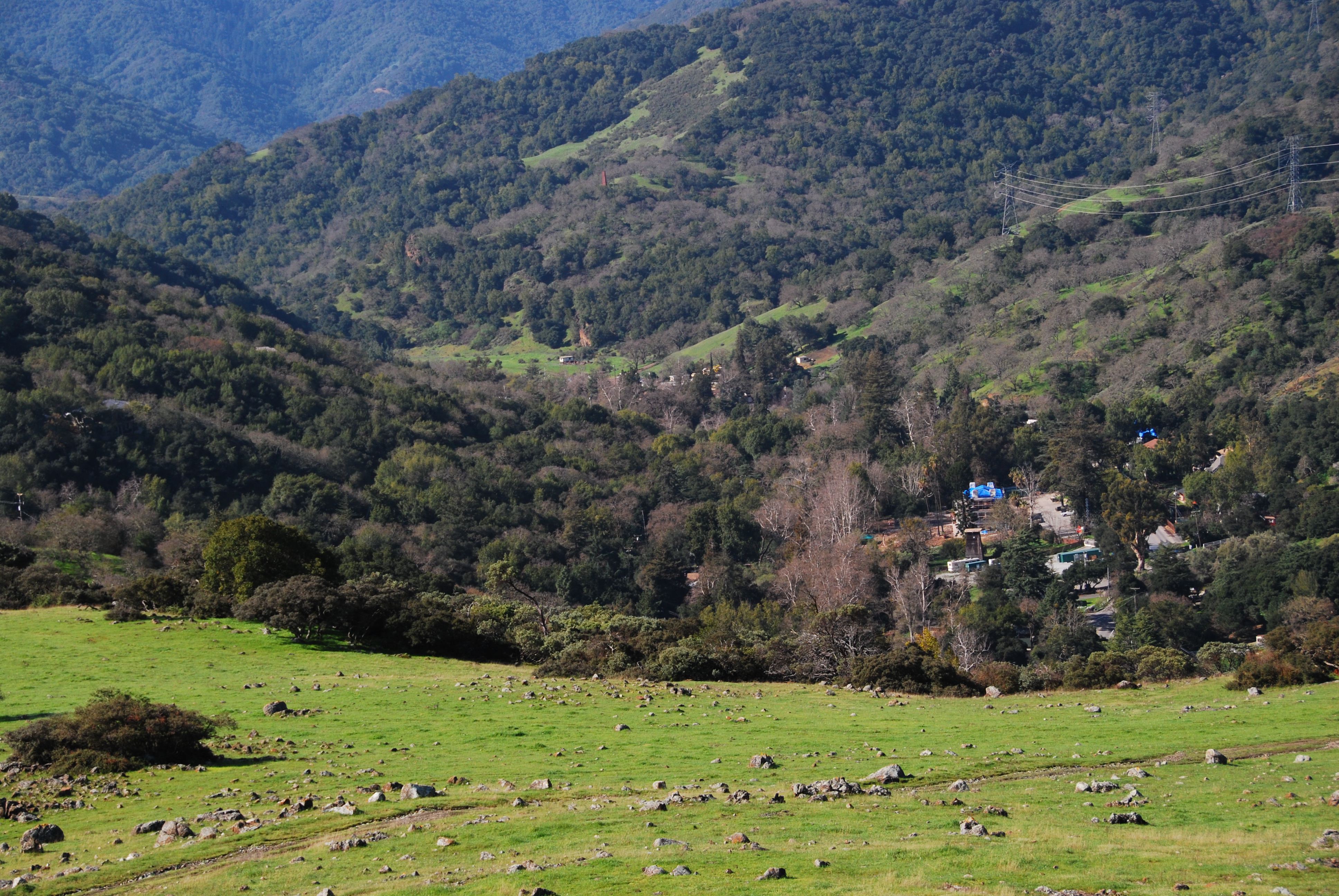
View down into New Almaden
Sierra Azul Open Space

.
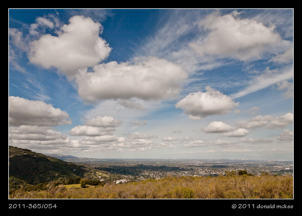
2011-365/054 - Natural Beauty

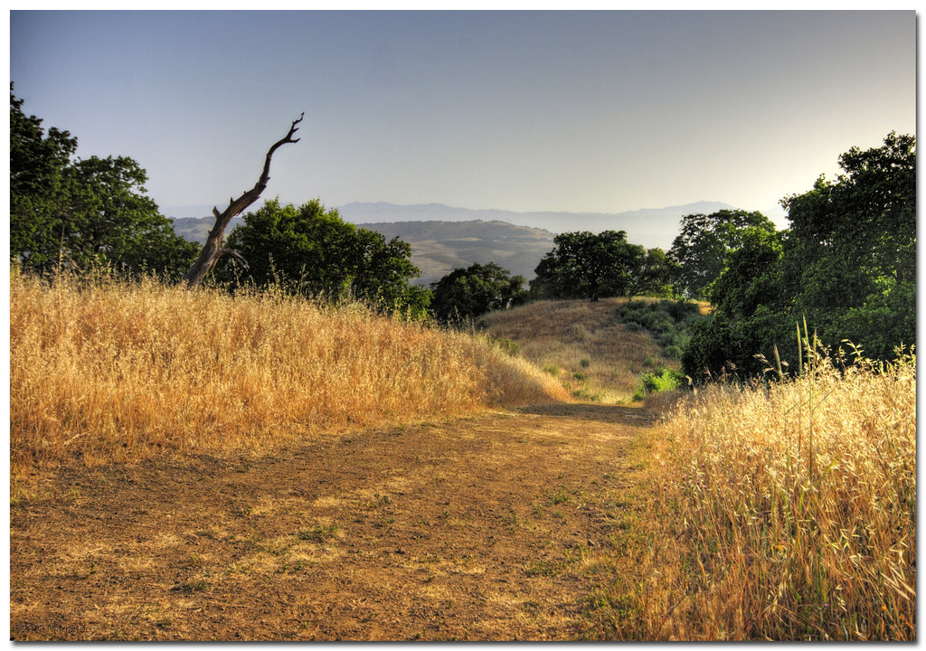
View from the Hidden Springs Trail
Topographic Map of Mount Umunhum, Mt Umunhum, California, USA
Find elevation by address:

Places near Mount Umunhum, Mt Umunhum, California, USA:
Mount Thayer
Reynolds Road
Almond Way, New Almaden, CA, USA
16450 Soda Springs Rd
24783 Loma Prieta Ave
Summit Store Inc.
Wrights Station Rd, Los Gatos, CA, USA
Alamitos Rd, San Jose, CA, USA
San Jose, CA, USA
Highland Way, Los Gatos, CA, USA
17800 Soda Springs Rd
26176 Mt Bache Rd
Almaden
1168 Eagle Cliff Ct
6872 Hampton Dr
6338 Paso Los Cerritos
6384 Leyland Park Dr
26046 Highland Way
23231 Summit Rd
25365 Spanish Ranch Rd
Recent Searches:
- Elevation of Corso Fratelli Cairoli, 35, Macerata MC, Italy
- Elevation of Tallevast Rd, Sarasota, FL, USA
- Elevation of 4th St E, Sonoma, CA, USA
- Elevation of Black Hollow Rd, Pennsdale, PA, USA
- Elevation of Oakland Ave, Williamsport, PA, USA
- Elevation of Pedrógão Grande, Portugal
- Elevation of Klee Dr, Martinsburg, WV, USA
- Elevation of Via Roma, Pieranica CR, Italy
- Elevation of Tavkvetili Mountain, Georgia
- Elevation of Hartfords Bluff Cir, Mt Pleasant, SC, USA