Elevation of Mount Tate, Ashikuraji, Tateyama, Nakaniikawa District, Toyama Prefecture -, Japan
Location: Japan > Toyama Prefecture > Nakaniikawa District > Tateyama > Ashikuraji > 11 Ashikuraji >
Longitude: 137.611691
Latitude: 36.5812503
Elevation: 2588m / 8491feet
Barometric Pressure: 74KPa
Elevation Map:
Satellite Map:
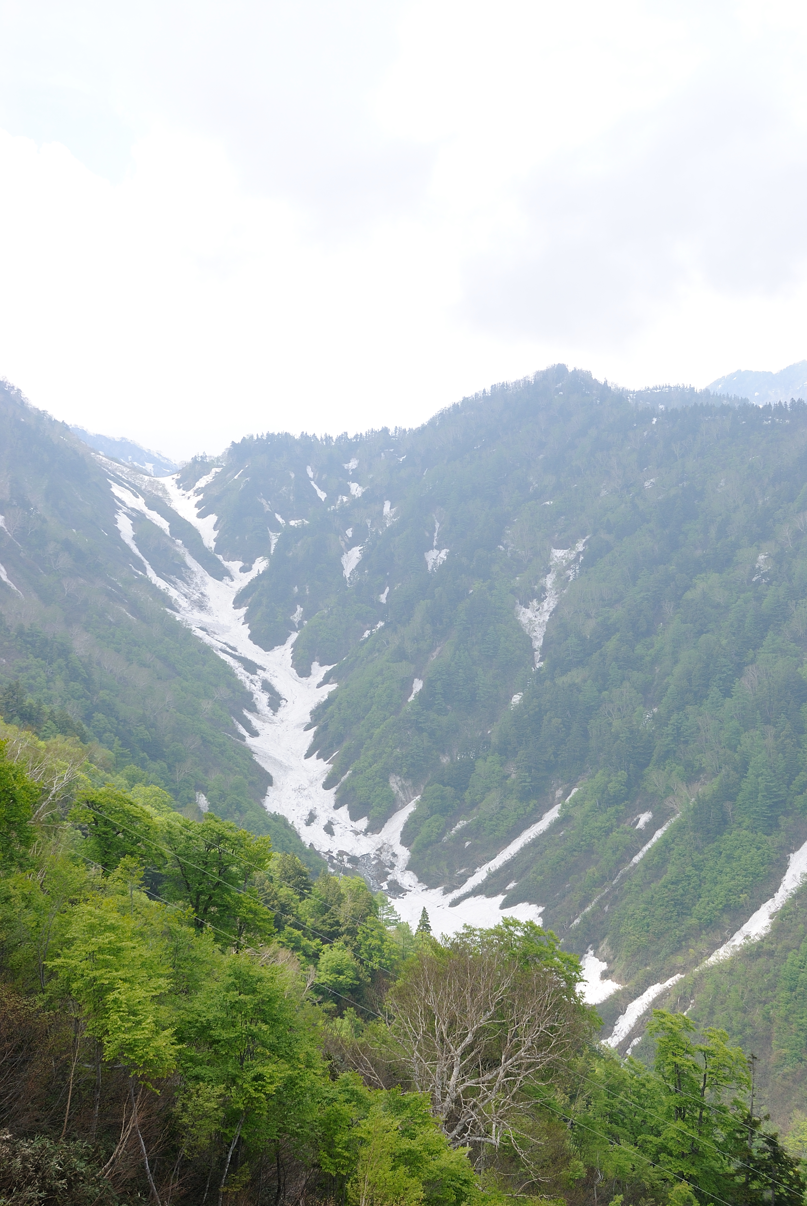
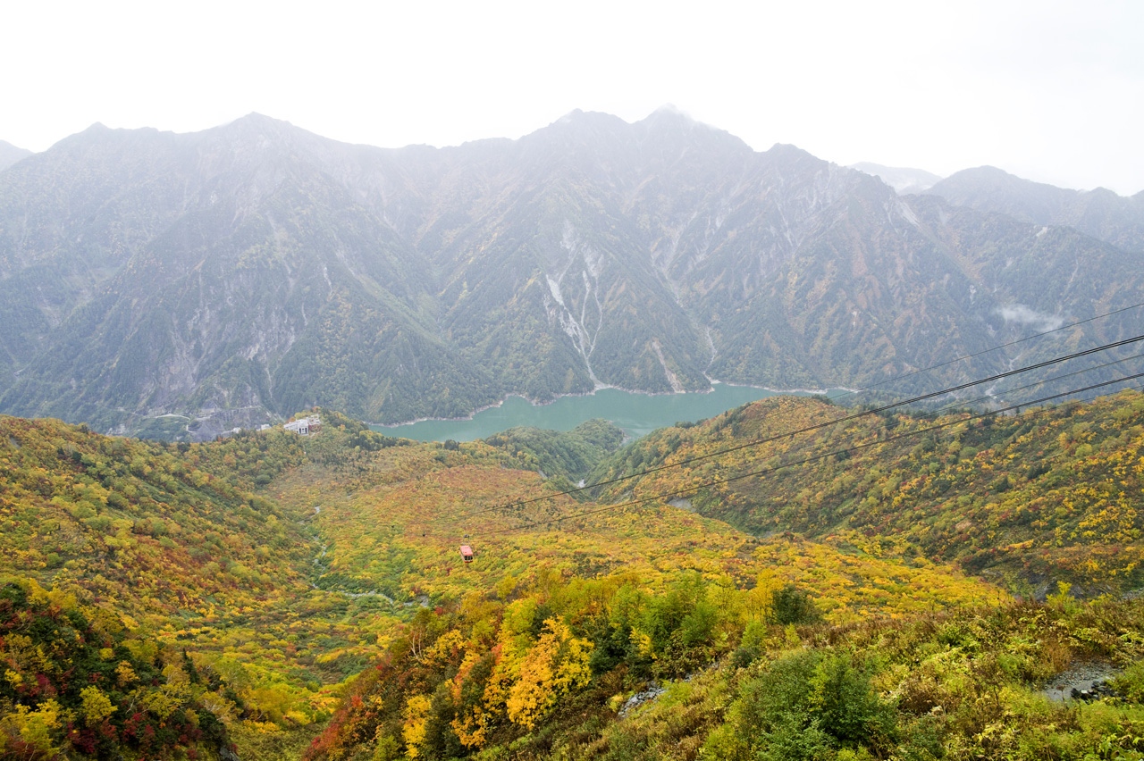
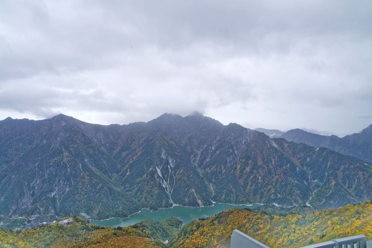
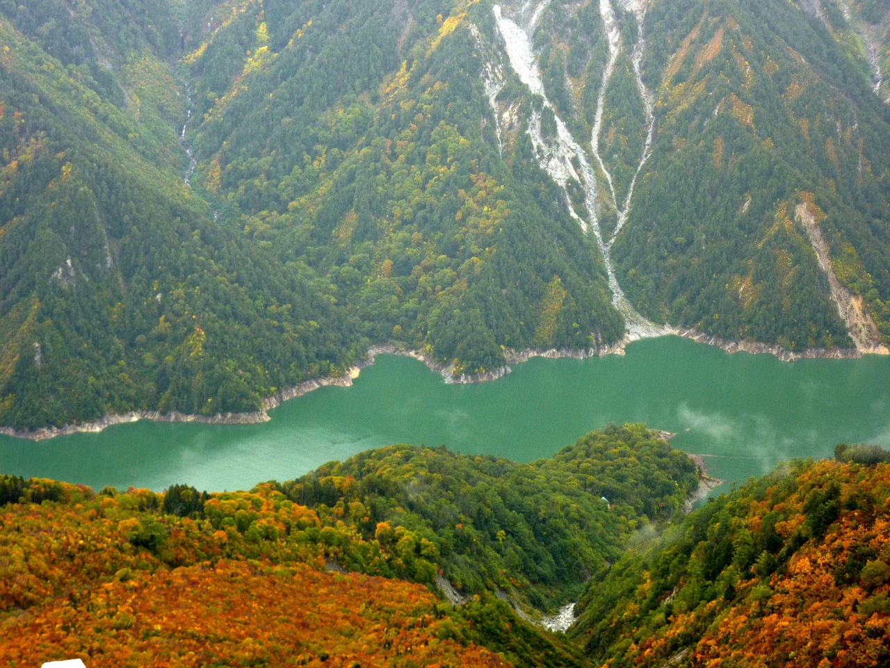
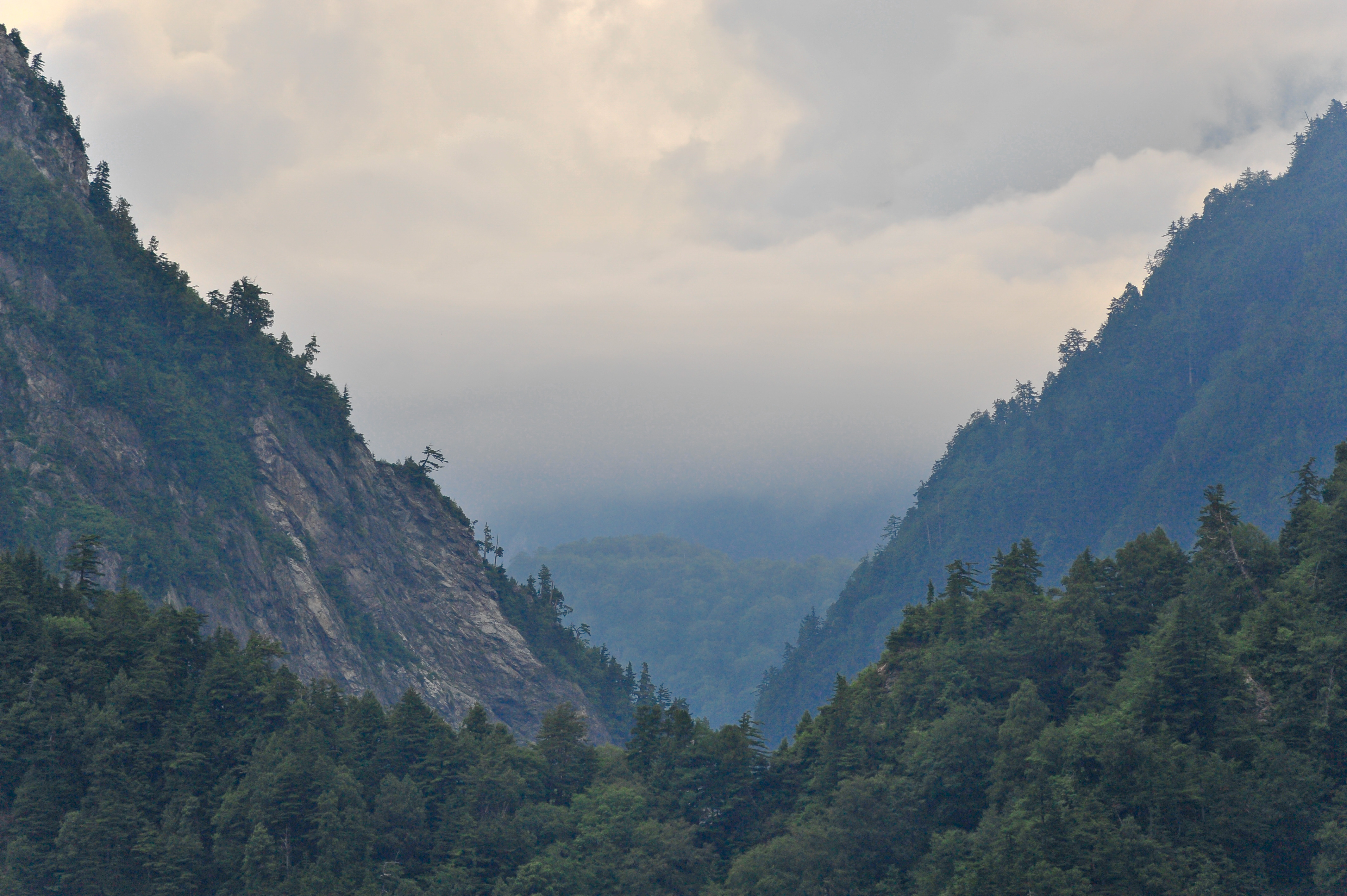
Related Photos:

Far-off Fuji
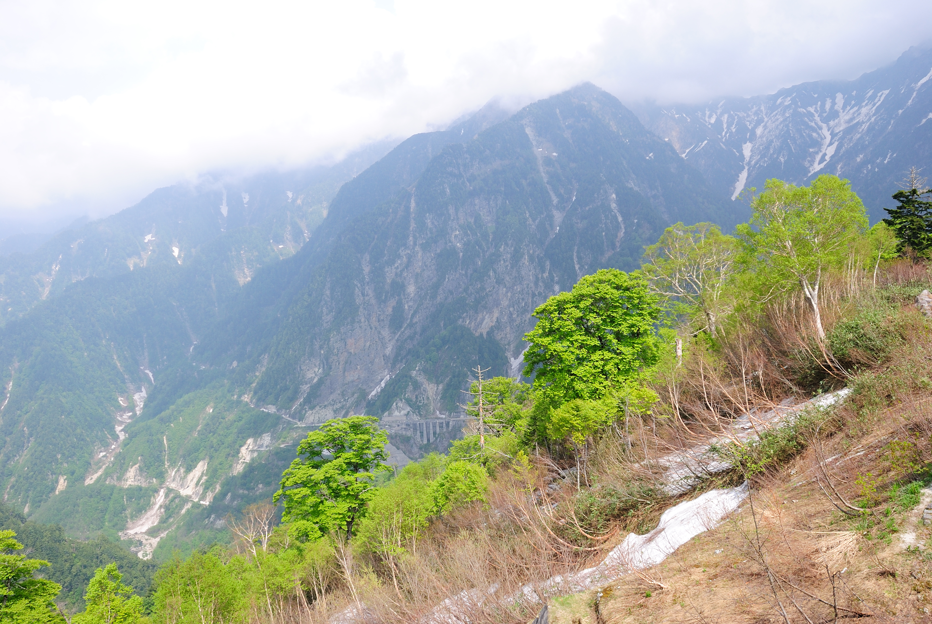
view from Kurobedaira
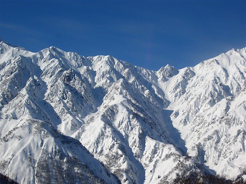
HAKUBA!
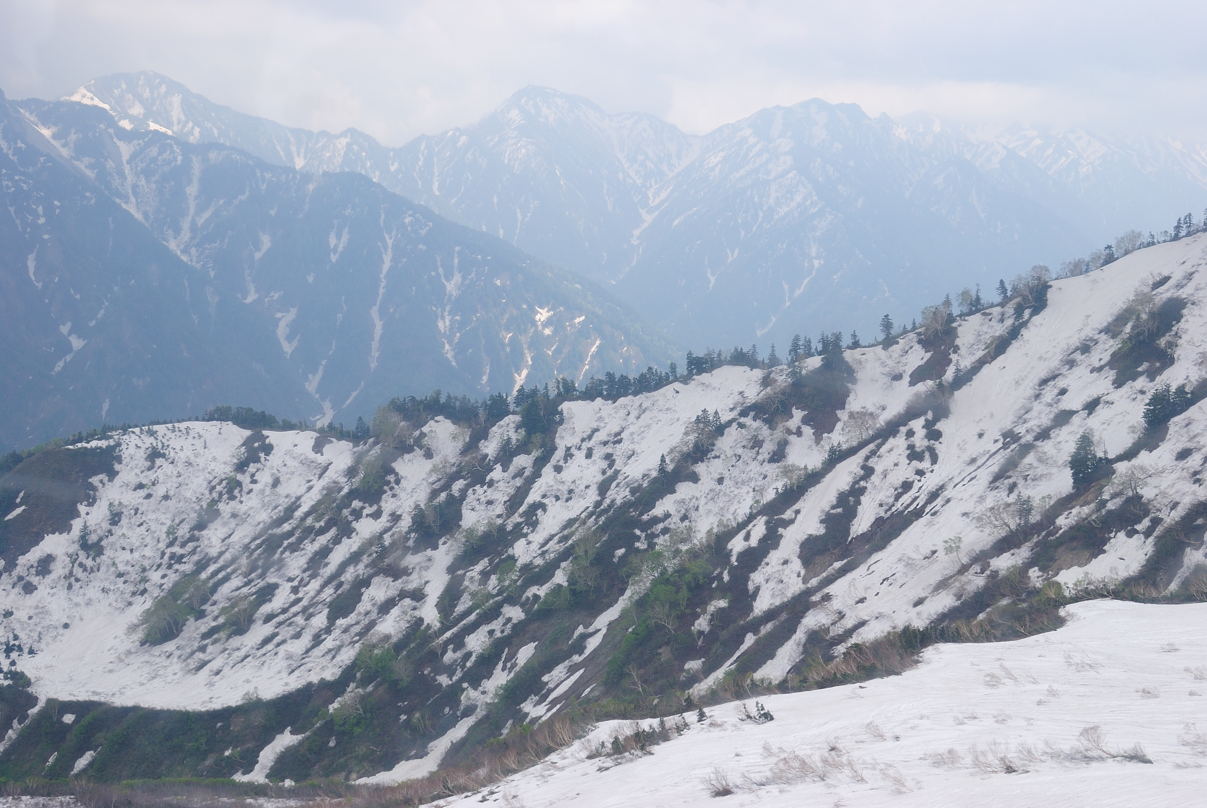
view from Kurobedaira
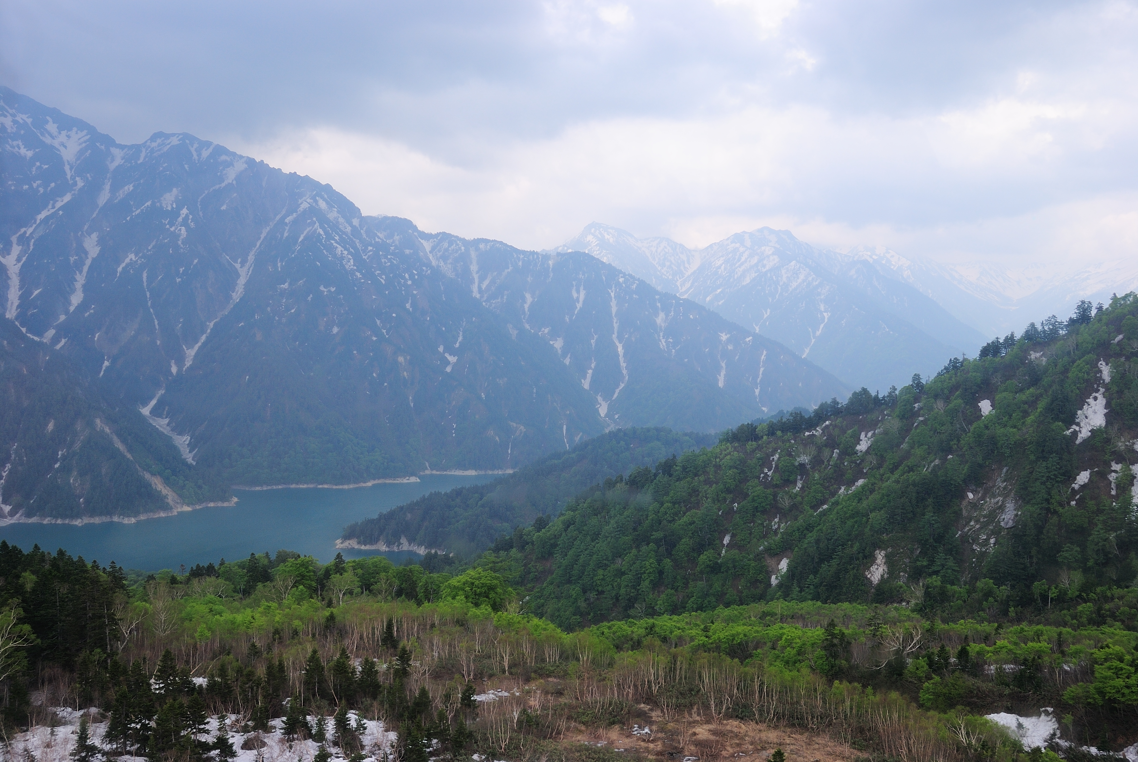
view from Kurobedaira
view from Kurobedaira
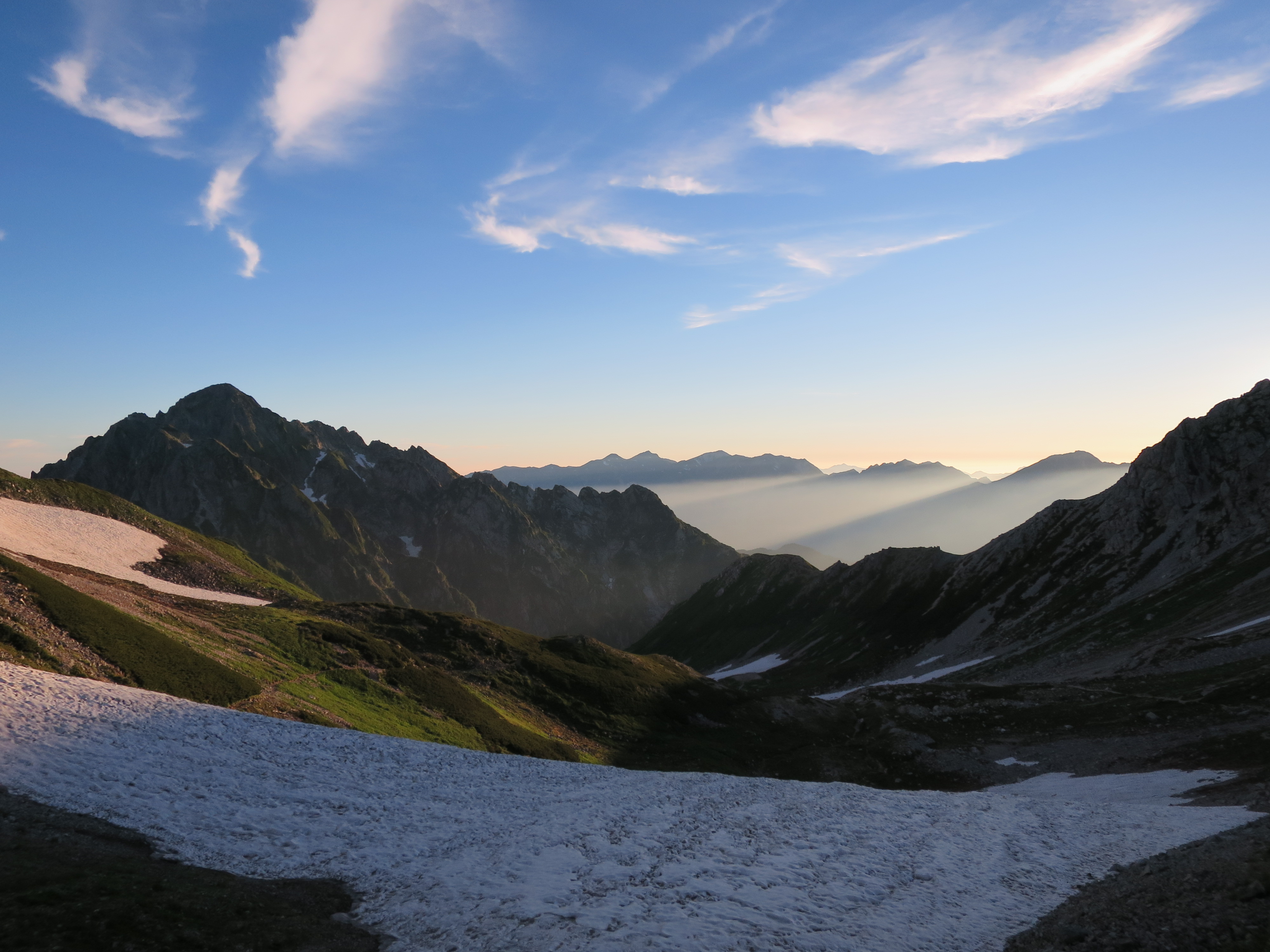
Mt Tsurugi 剱岳

A shining sea of clouds
L1000147 copy
L1000146 copy
P1020821 copy
曇り
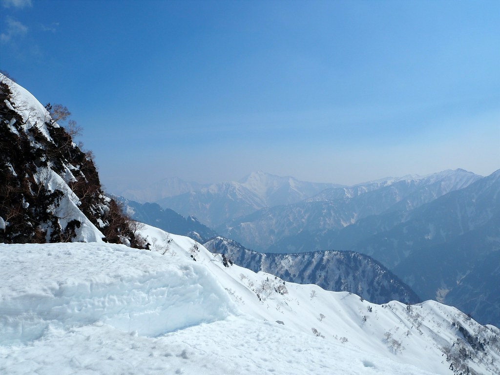
View from Daikanbo on the Tateyama Alpine Route

View from Daikanbo at Mount Tateyama
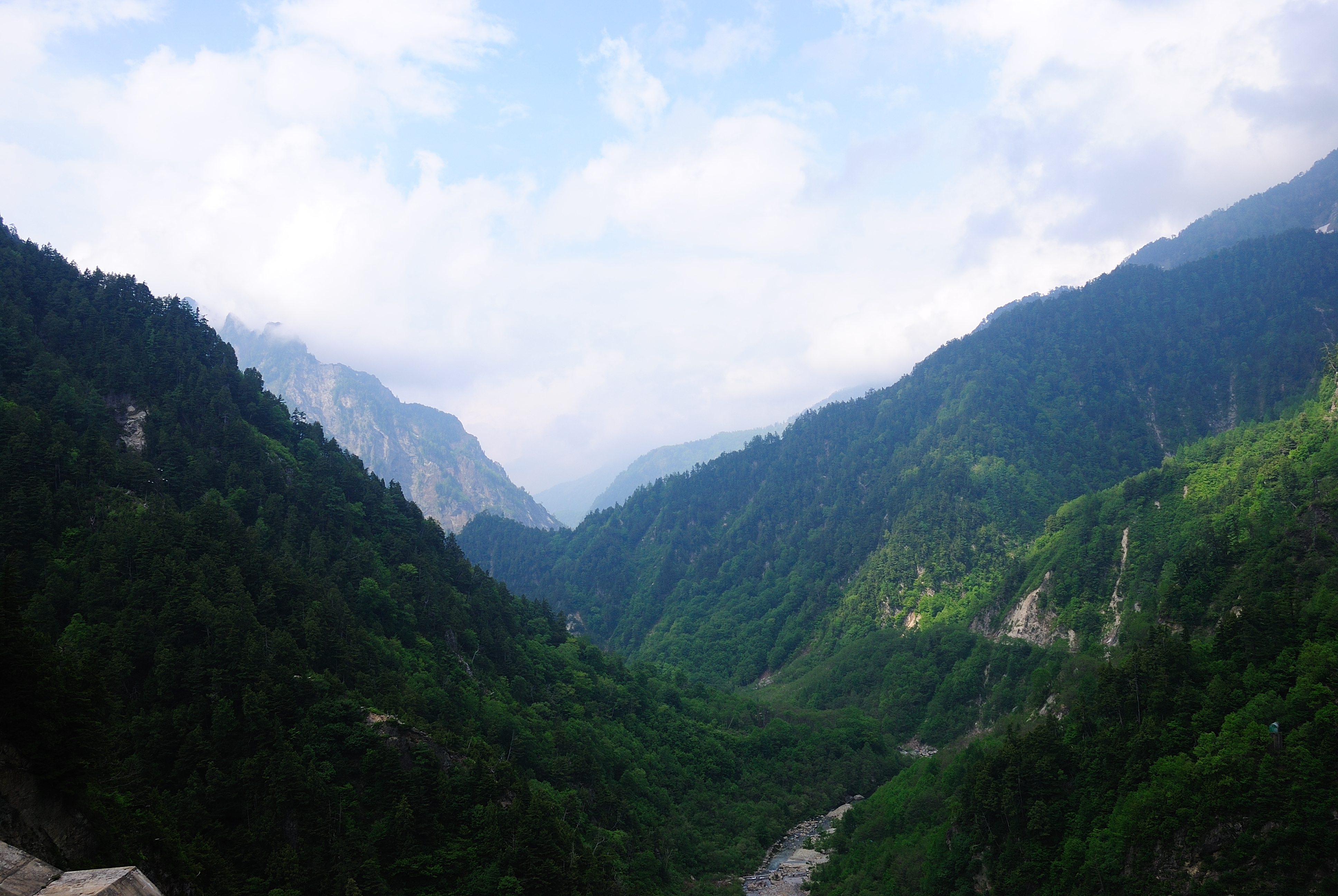
view from Kurobeko
view from Kurobeko
Topographic Map of Mount Tate, Ashikuraji, Tateyama, Nakaniikawa District, Toyama Prefecture -, Japan
Find elevation by address:

Places near Mount Tate, Ashikuraji, Tateyama, Nakaniikawa District, Toyama Prefecture -, Japan:
11 Ashikuraji
Tateyama Kurobe Alpine Route
Nakaniikawa District
Unazukionsen
Ashikuraji
Mount Shirouma
Unazuki Station
Mt. Yukikura
Kamiichi
1 Hōonji
北アルプス文化センター
Unazukimachi Uchiyama, Kurobe-shi, Toyama-ken -, Japan
Sumiyoshi, Uozu-shi, Toyama-ken -, Japan
Tateyama
Nakadaki, Toyama-shi, Toyama-ken -, Japan
Yamazaki
Shikenchō, Namerikawa-shi, Toyama-ken -, Japan
Namerikawa
Shimoniikawa District
Kurobe
Recent Searches:
- Elevation of Corso Fratelli Cairoli, 35, Macerata MC, Italy
- Elevation of Tallevast Rd, Sarasota, FL, USA
- Elevation of 4th St E, Sonoma, CA, USA
- Elevation of Black Hollow Rd, Pennsdale, PA, USA
- Elevation of Oakland Ave, Williamsport, PA, USA
- Elevation of Pedrógão Grande, Portugal
- Elevation of Klee Dr, Martinsburg, WV, USA
- Elevation of Via Roma, Pieranica CR, Italy
- Elevation of Tavkvetili Mountain, Georgia
- Elevation of Hartfords Bluff Cir, Mt Pleasant, SC, USA