Elevation of Mount Stirling, Mt Stirling, Nevada, USA
Location: United States > Nevada > Pahrump >
Longitude: -115.96836
Latitude: 36.4538462
Elevation: 2450m / 8038feet
Barometric Pressure: 75KPa
Elevation Map:
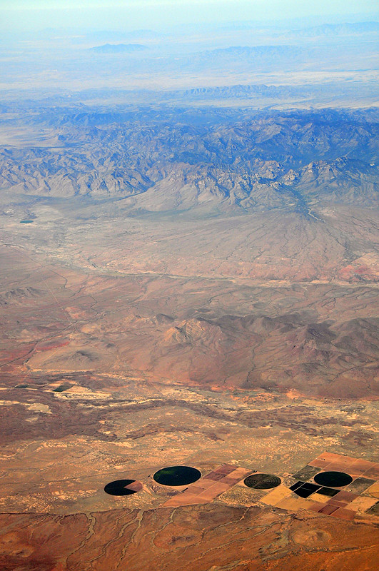
Satellite Map:
Related Photos:
Pac-Man
Topographic Map of Mount Stirling, Mt Stirling, Nevada, USA
Find elevation by address:

Places near Mount Stirling, Mt Stirling, Nevada, USA:
Leslie
1891 W Carrol St
430 W Nopah Vista Ave
1340 W Bluebird Ave
Palm Dr & N Majestic View
2151 Chiquita Ln
Willow Creek Campground
1245 Ashley Ct
1170 Dupont Dr
1170 Rockafeller Dr
321 E Stagecoach Rd
2150 Irene
4840 Mack Ct
4601 Cabo St
Eagle Nest Circle
181 Oak Trail Cir
Rudin Drive
127 Rudin Dr
123 Sir Turner Dr
3150 W Mesquite Ave
Recent Searches:
- Elevation of Corso Fratelli Cairoli, 35, Macerata MC, Italy
- Elevation of Tallevast Rd, Sarasota, FL, USA
- Elevation of 4th St E, Sonoma, CA, USA
- Elevation of Black Hollow Rd, Pennsdale, PA, USA
- Elevation of Oakland Ave, Williamsport, PA, USA
- Elevation of Pedrógão Grande, Portugal
- Elevation of Klee Dr, Martinsburg, WV, USA
- Elevation of Via Roma, Pieranica CR, Italy
- Elevation of Tavkvetili Mountain, Georgia
- Elevation of Hartfords Bluff Cir, Mt Pleasant, SC, USA