Elevation of Mount Sopris, Mt Sopris, Colorado, USA
Location: United States > Colorado > Carbondale >
Longitude: -107.17143
Latitude: 39.2599842
Elevation: 3821m / 12536feet
Barometric Pressure: 63KPa
Elevation Map:
Satellite Map:
Related Photos:

Autumn aspen road
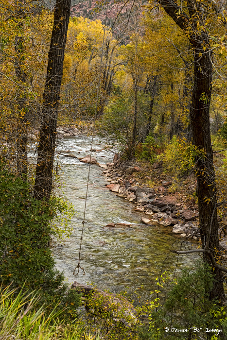
Trout Fishing Stream Crossing Swing

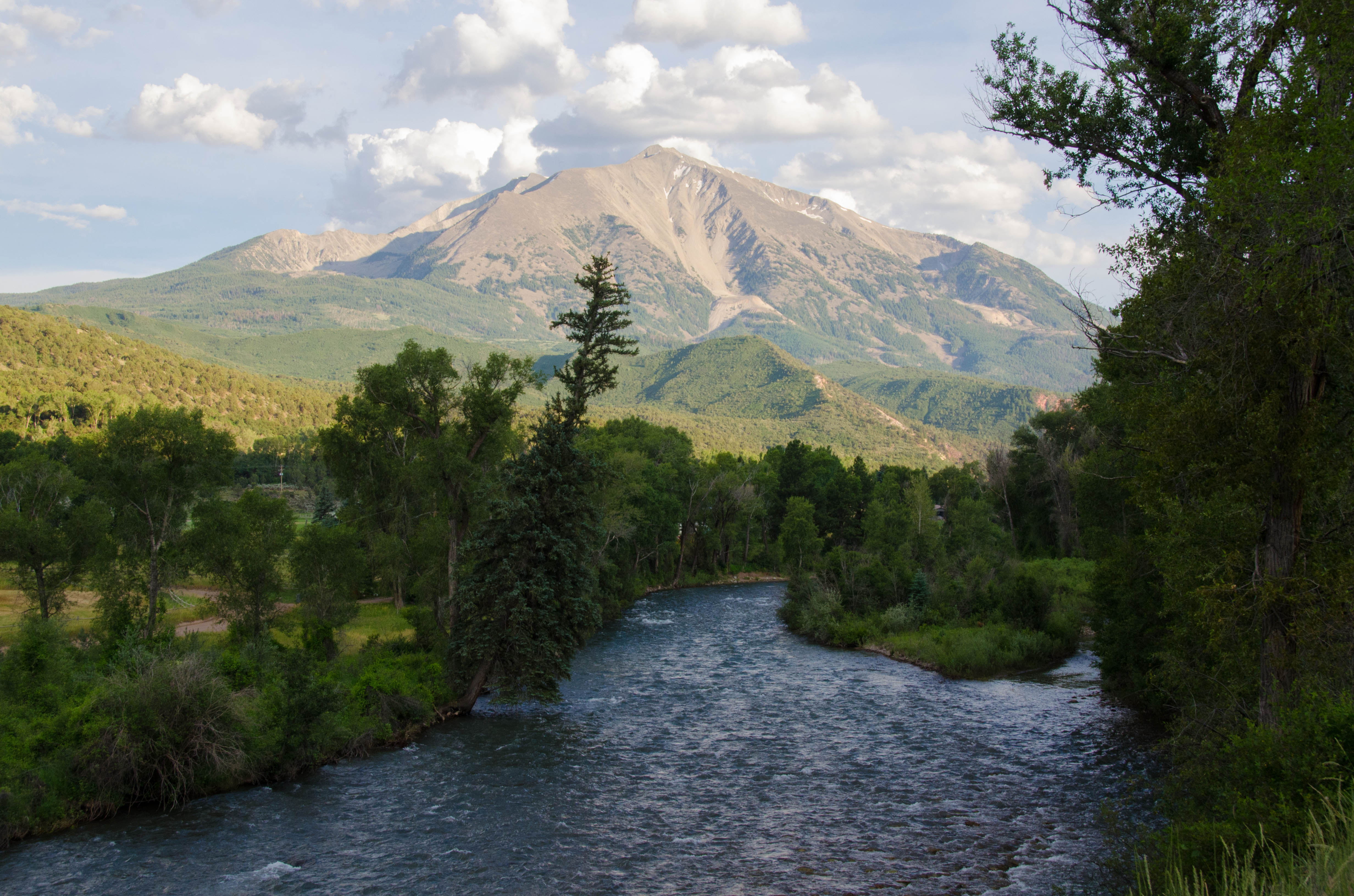
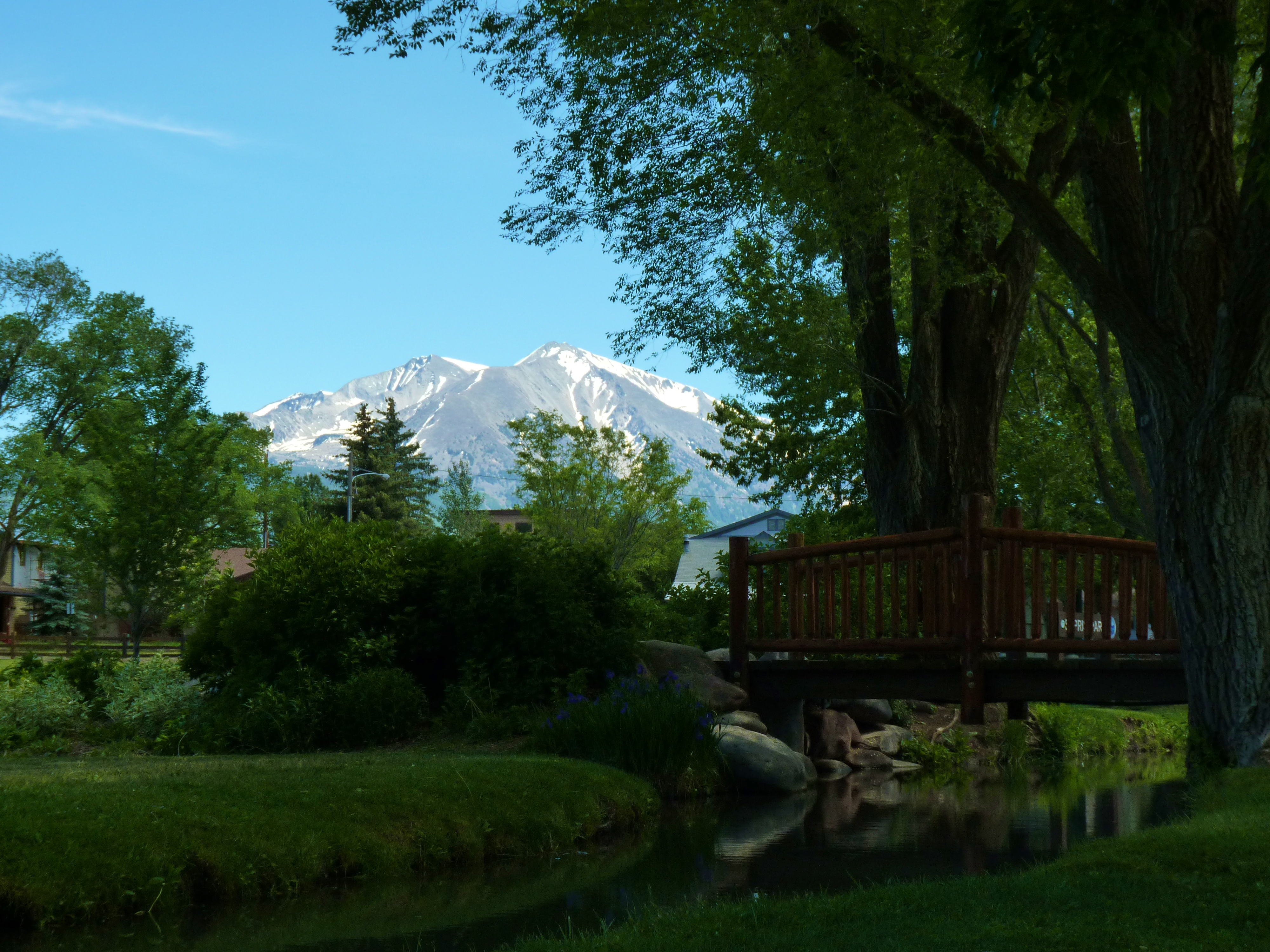
Mount Sopris
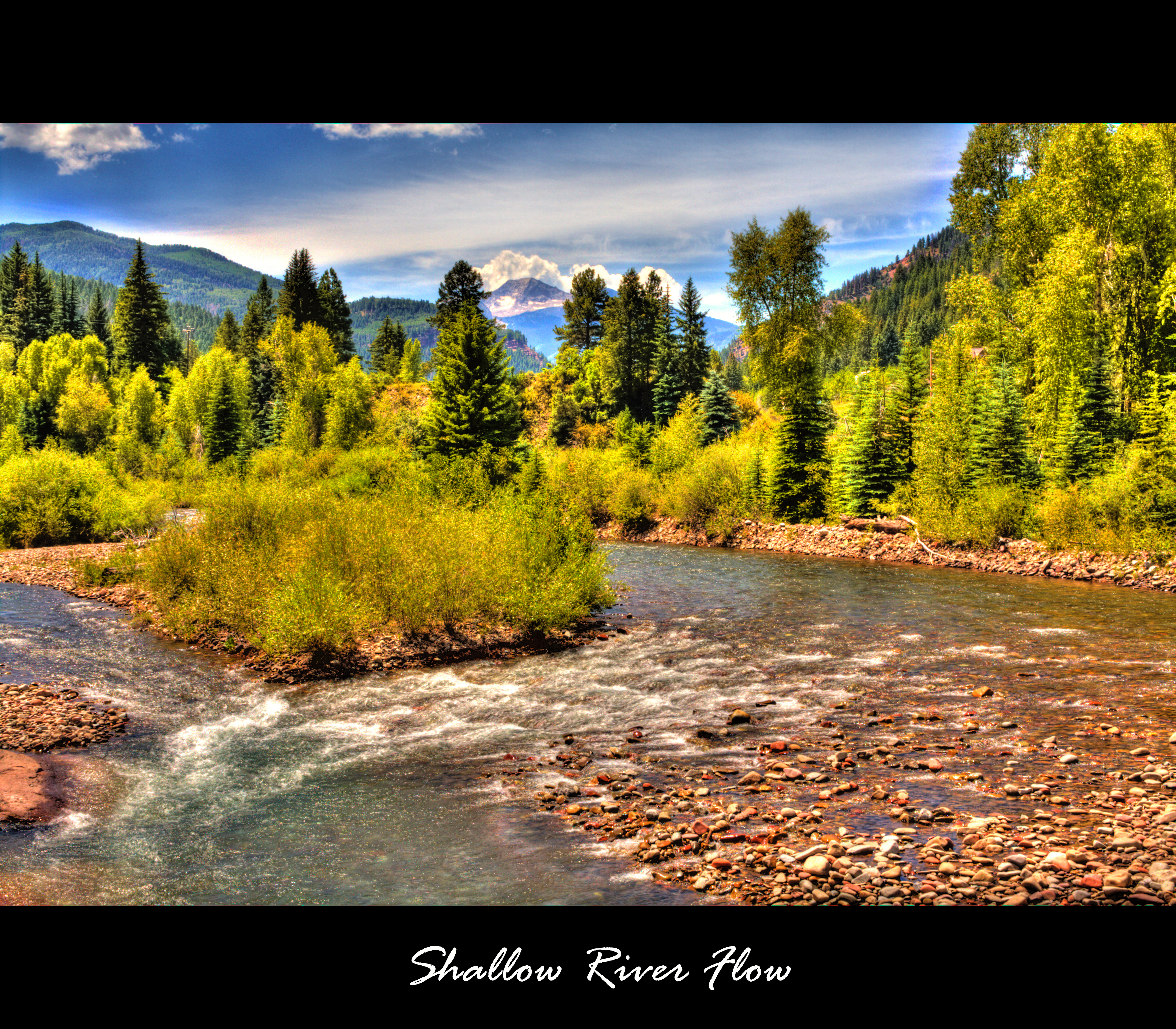
Shallow River Flow

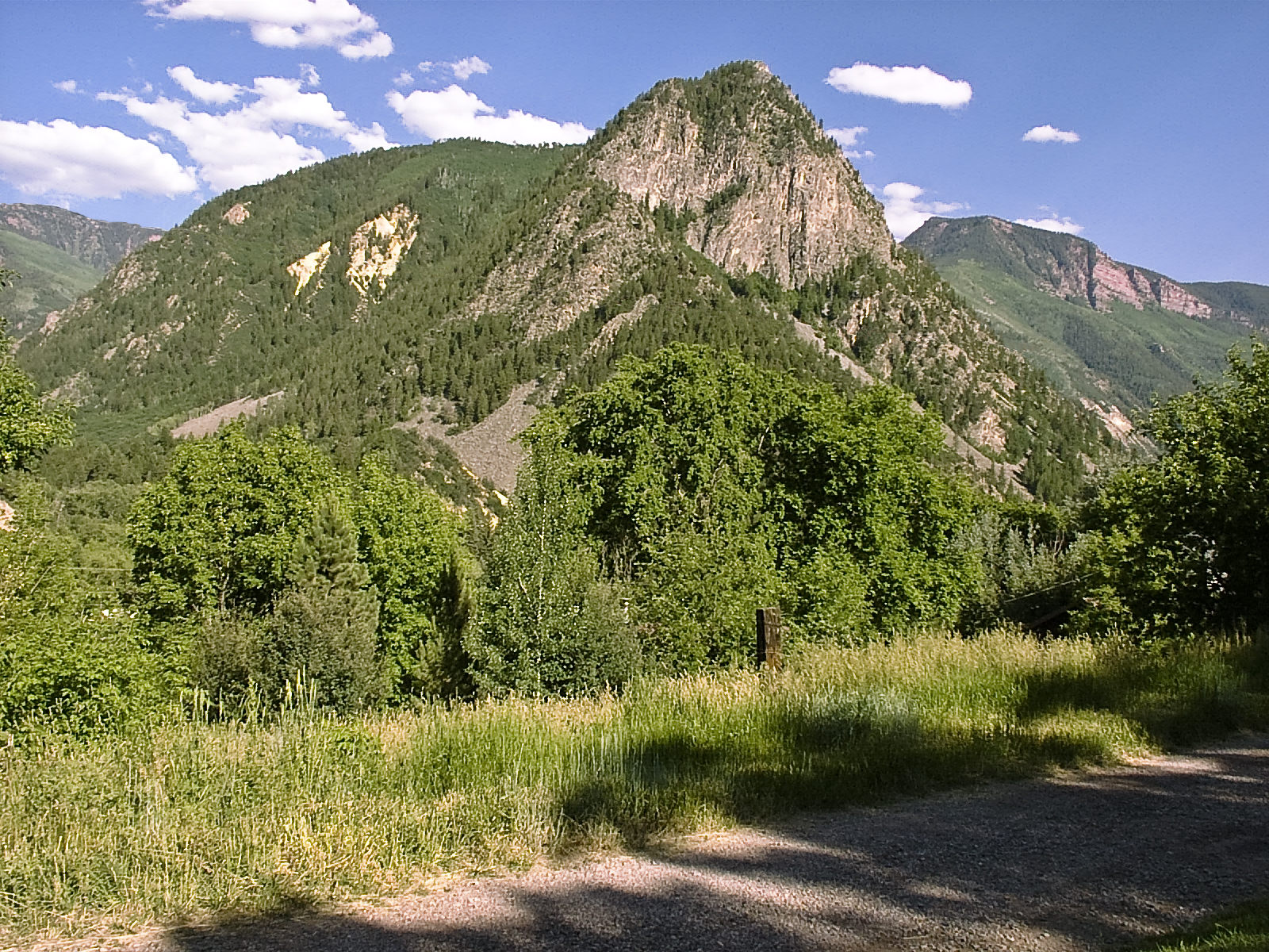
Sopris Mountain
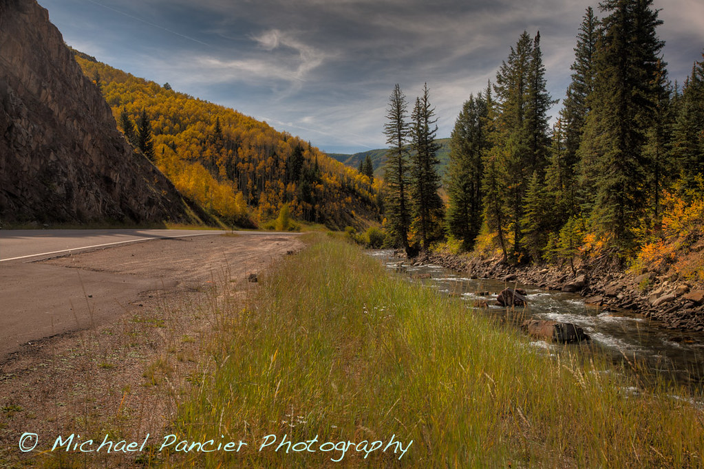
Colorado Scenic Byway 133
Mt. Sopris

Mt. Sopris
Carbondale, Colorado

colorado winterscape - color
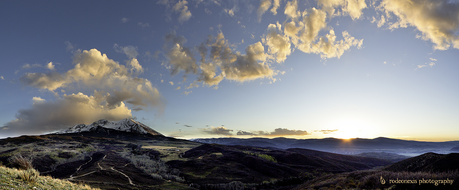
Crown Trail Sunset
The view from our cabin
Topographic Map of Mount Sopris, Mt Sopris, Colorado, USA
Find elevation by address:

Places near Mount Sopris, Mt Sopris, Colorado, USA:
Bulldog Creek
10830 Co-133
Thomas Lakes Th / Mount Sopris Trailhead
150 Spring Creek Rd
Sage Rim Circle
227 Sage Rim Cir
Red Rock Rd, Basalt, CO, USA
72 E Sopris Creek Rd, Basalt, CO, USA
Gisella Fiou Skate Park
101 Emma Rd
154 Little Elk Creek Ave
Basalt
7039 E Sopris Creek Rd
7850 Snowmass Creek Rd
Picket Pin Lane
7846 Snowmass Creek Rd
Snowmass
25 Little Ln
The Westin Snowmass Resort
100 Elbert Ln
Recent Searches:
- Elevation of Corso Fratelli Cairoli, 35, Macerata MC, Italy
- Elevation of Tallevast Rd, Sarasota, FL, USA
- Elevation of 4th St E, Sonoma, CA, USA
- Elevation of Black Hollow Rd, Pennsdale, PA, USA
- Elevation of Oakland Ave, Williamsport, PA, USA
- Elevation of Pedrógão Grande, Portugal
- Elevation of Klee Dr, Martinsburg, WV, USA
- Elevation of Via Roma, Pieranica CR, Italy
- Elevation of Tavkvetili Mountain, Georgia
- Elevation of Hartfords Bluff Cir, Mt Pleasant, SC, USA