Elevation of Mount Singgalang, Balingka, Iv Koto, Agam Regency, West Sumatra, Indonesia
Location: Indonesia > West Sumatra > Agam Regency > Iv Koto > Balingka >
Longitude: 100.330833
Latitude: -0.39
Elevation: 2309m / 7575feet
Barometric Pressure: 76KPa
Elevation Map:
Satellite Map:
Related Photos:
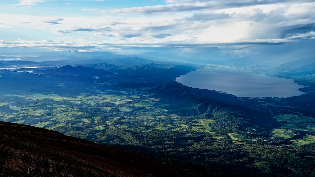
The Majestic Lake Singkarak
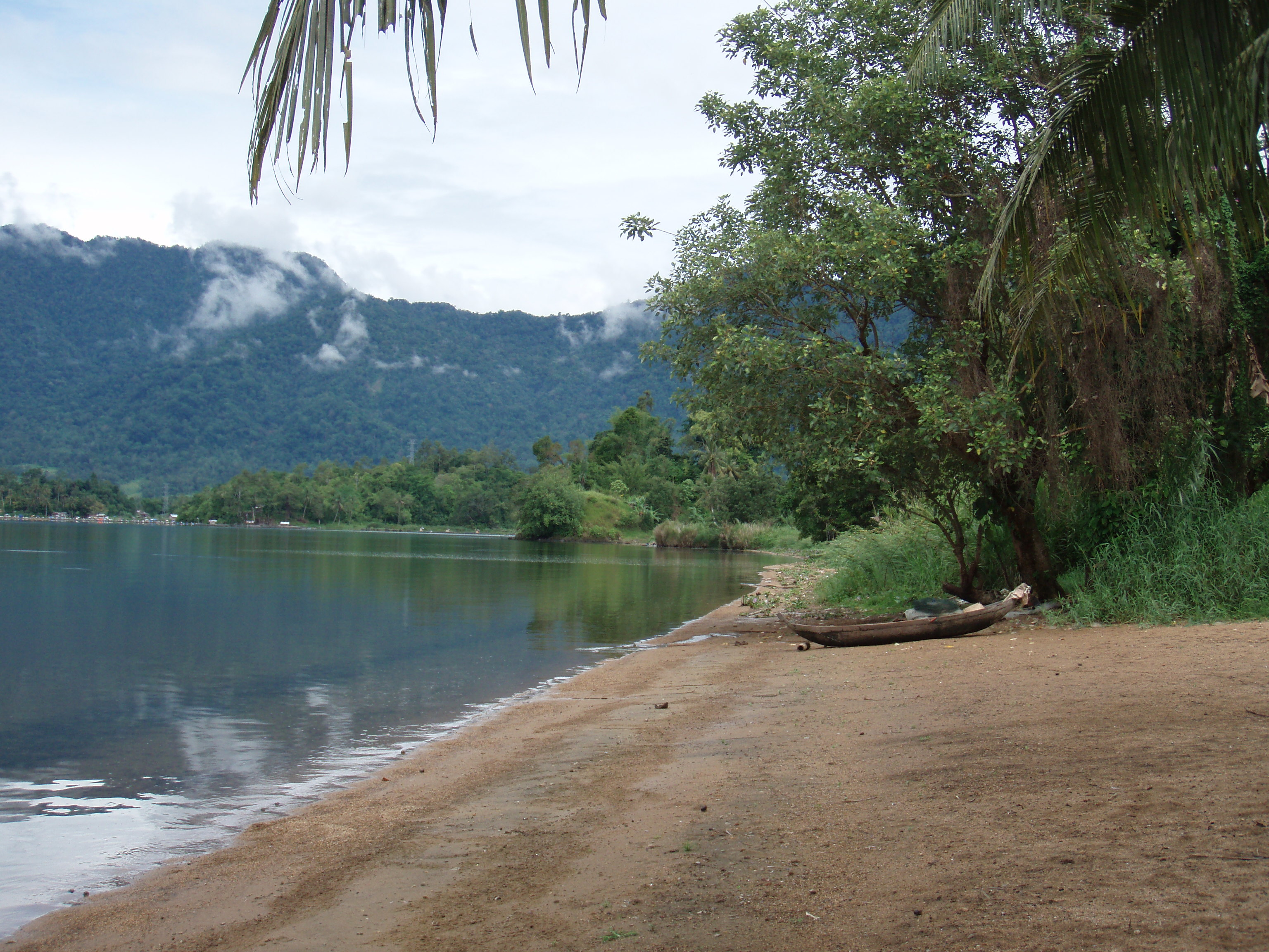
Lakeside View
Topographic Map of Mount Singgalang, Balingka, Iv Koto, Agam Regency, West Sumatra, Indonesia
Find elevation by address:

Places near Mount Singgalang, Balingka, Iv Koto, Agam Regency, West Sumatra, Indonesia:
Balingka
Mount Tandikat
Pandai Sikek
Iv Koto
Sepuluh Koto
Singgalang
Malalak
Pasar Nagari Koto Baru
Koto Baru
Kayu Kubu
Guguk Panjang
Grand Rocky Hotel Bukittinggi
Bukittinggi City
Bukittinggi
Padang Panjang
Bukit Pandan
Padang Panjang City
Mount Marapi
Tanjung Raya
Pasie Laweh
Recent Searches:
- Elevation of Corso Fratelli Cairoli, 35, Macerata MC, Italy
- Elevation of Tallevast Rd, Sarasota, FL, USA
- Elevation of 4th St E, Sonoma, CA, USA
- Elevation of Black Hollow Rd, Pennsdale, PA, USA
- Elevation of Oakland Ave, Williamsport, PA, USA
- Elevation of Pedrógão Grande, Portugal
- Elevation of Klee Dr, Martinsburg, WV, USA
- Elevation of Via Roma, Pieranica CR, Italy
- Elevation of Tavkvetili Mountain, Georgia
- Elevation of Hartfords Bluff Cir, Mt Pleasant, SC, USA