Elevation of Mount Seltat, Mt Seltat, Stikine Region, BC V0W, Canada
Location: Canada > British Columbia > Atlin >
Longitude: -136.35388
Latitude: 59.6002778
Elevation: 1821m / 5974feet
Barometric Pressure: 81KPa
Elevation Map:
Satellite Map:
Related Photos:
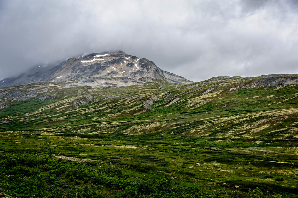
Mountain View
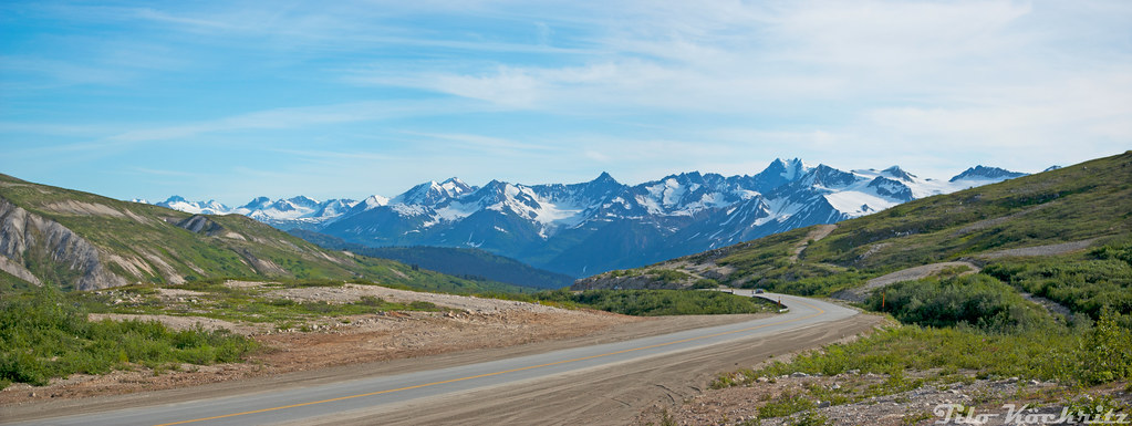
Panoramablick entlang des Haines Hwy
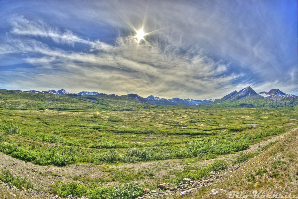
Der Blick vom Haines Hwy
Topographic Map of Mount Seltat, Mt Seltat, Stikine Region, BC V0W, Canada
Find elevation by address:

Places near Mount Seltat, Mt Seltat, Stikine Region, BC V0W, Canada:
Flemer Peak
Potlatch Peak
Jeep Trail, Haines, AK, USA
Tahini Peak
Haines Hwy, Haines, AK, USA
Chilkat Lake
Mount Porsild
Totem Peak
Noah Peak
Takhini Peak
Chilkoot Lake
Sandpiper Peak
Skagway Hp
Lutak
907 Comstock Rd
Homan Peak
Lutak Rd, Haines, AK, USA
Helms Loop
Rosette Peak
116 6th Ave
Recent Searches:
- Elevation of Corso Fratelli Cairoli, 35, Macerata MC, Italy
- Elevation of Tallevast Rd, Sarasota, FL, USA
- Elevation of 4th St E, Sonoma, CA, USA
- Elevation of Black Hollow Rd, Pennsdale, PA, USA
- Elevation of Oakland Ave, Williamsport, PA, USA
- Elevation of Pedrógão Grande, Portugal
- Elevation of Klee Dr, Martinsburg, WV, USA
- Elevation of Via Roma, Pieranica CR, Italy
- Elevation of Tavkvetili Mountain, Georgia
- Elevation of Hartfords Bluff Cir, Mt Pleasant, SC, USA