Elevation of Mount Rungwe, Tanzania
Location: Tanzania > Mbeya Region > Rungwe >
Longitude: 33.633333
Latitude: -9.116667
Elevation: 2351m / 7713feet
Barometric Pressure: 76KPa
Elevation Map:
Satellite Map:
Related Photos:
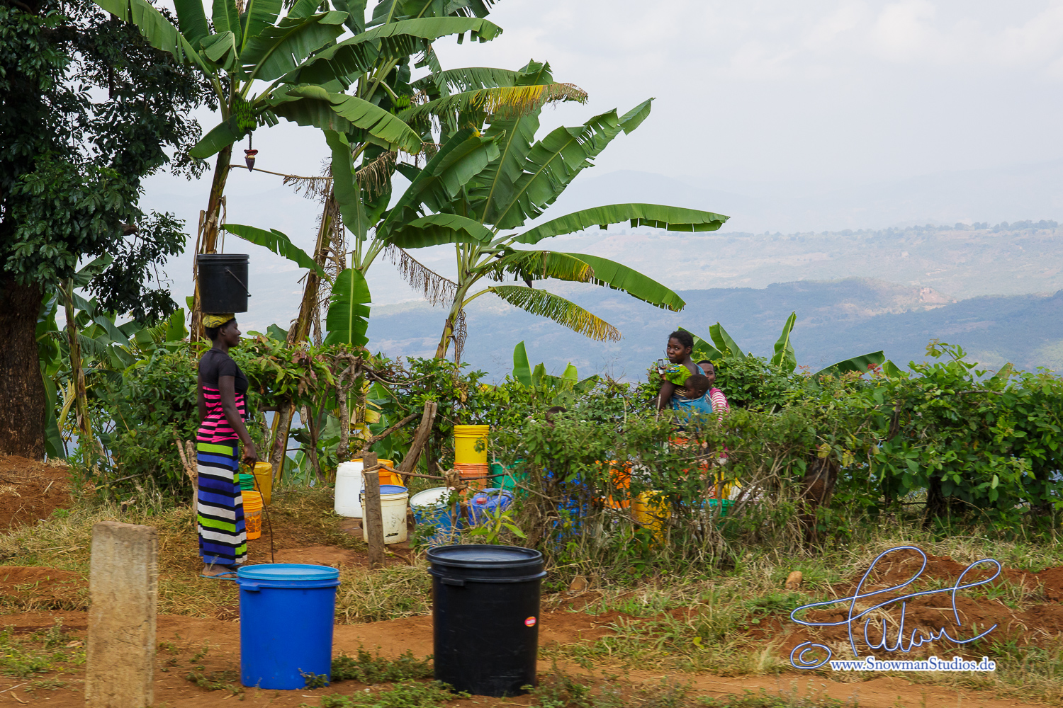
banana plantations

Avacado/Macademia/Coffee Estate in Mbeya

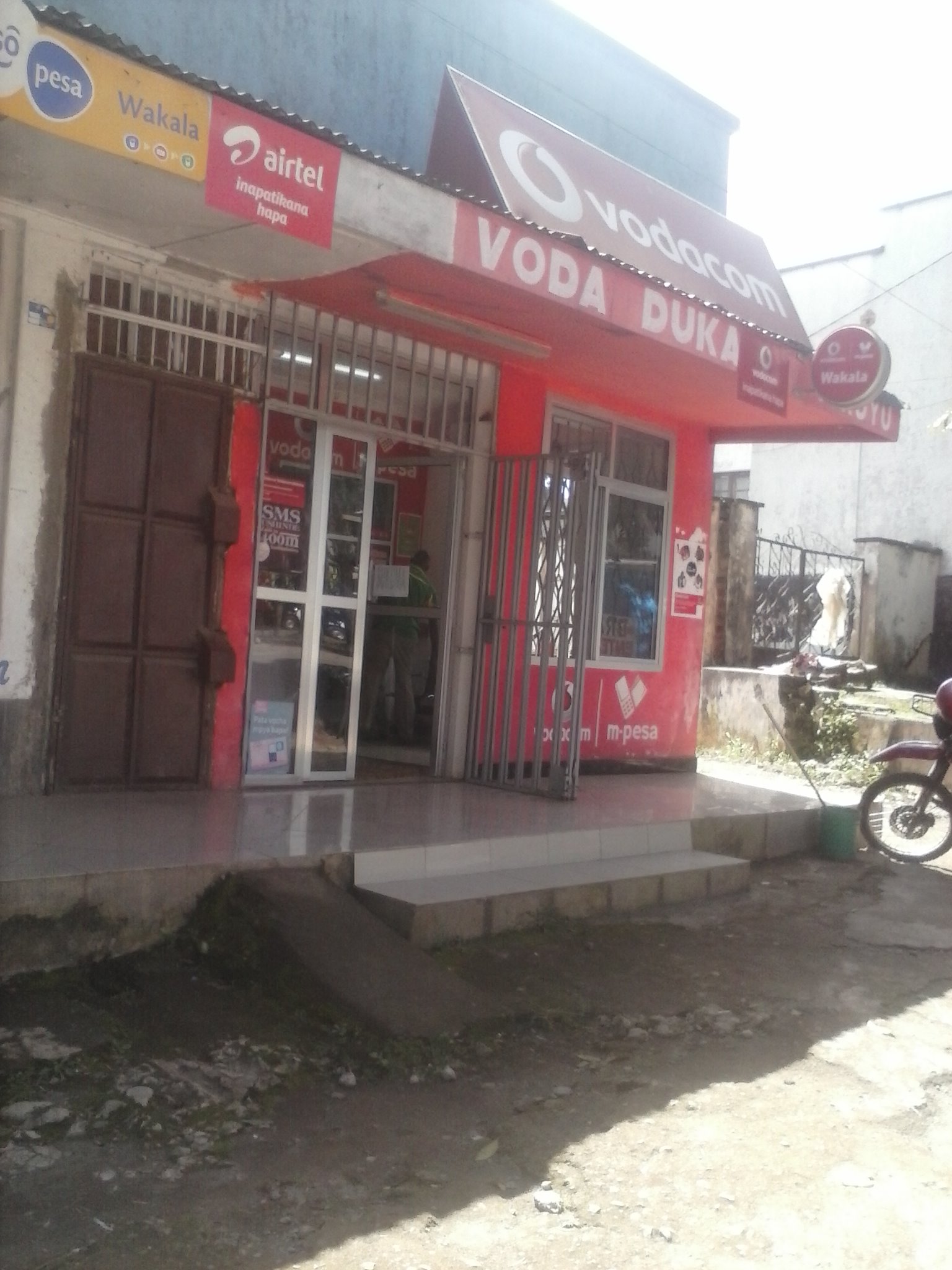
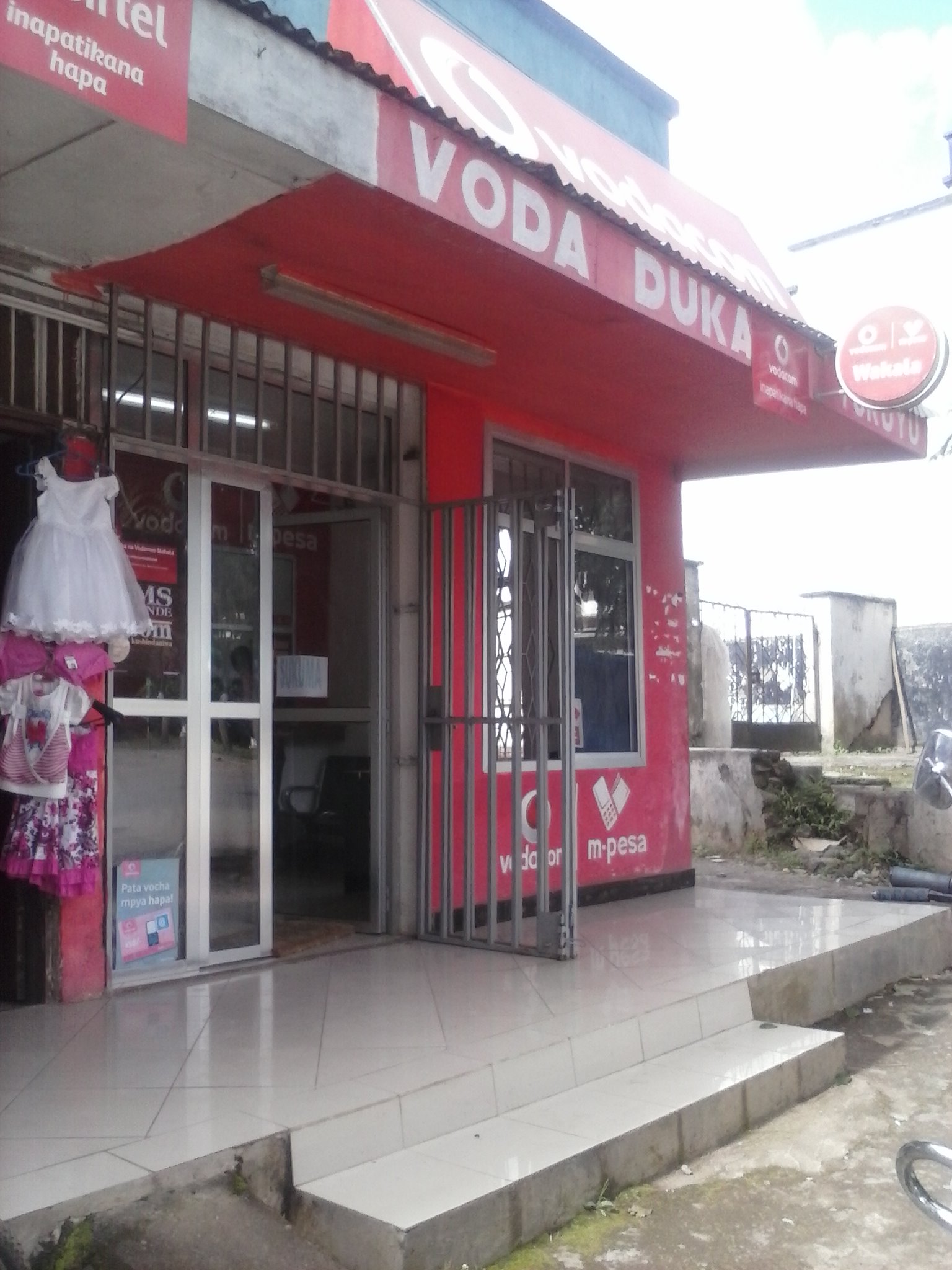
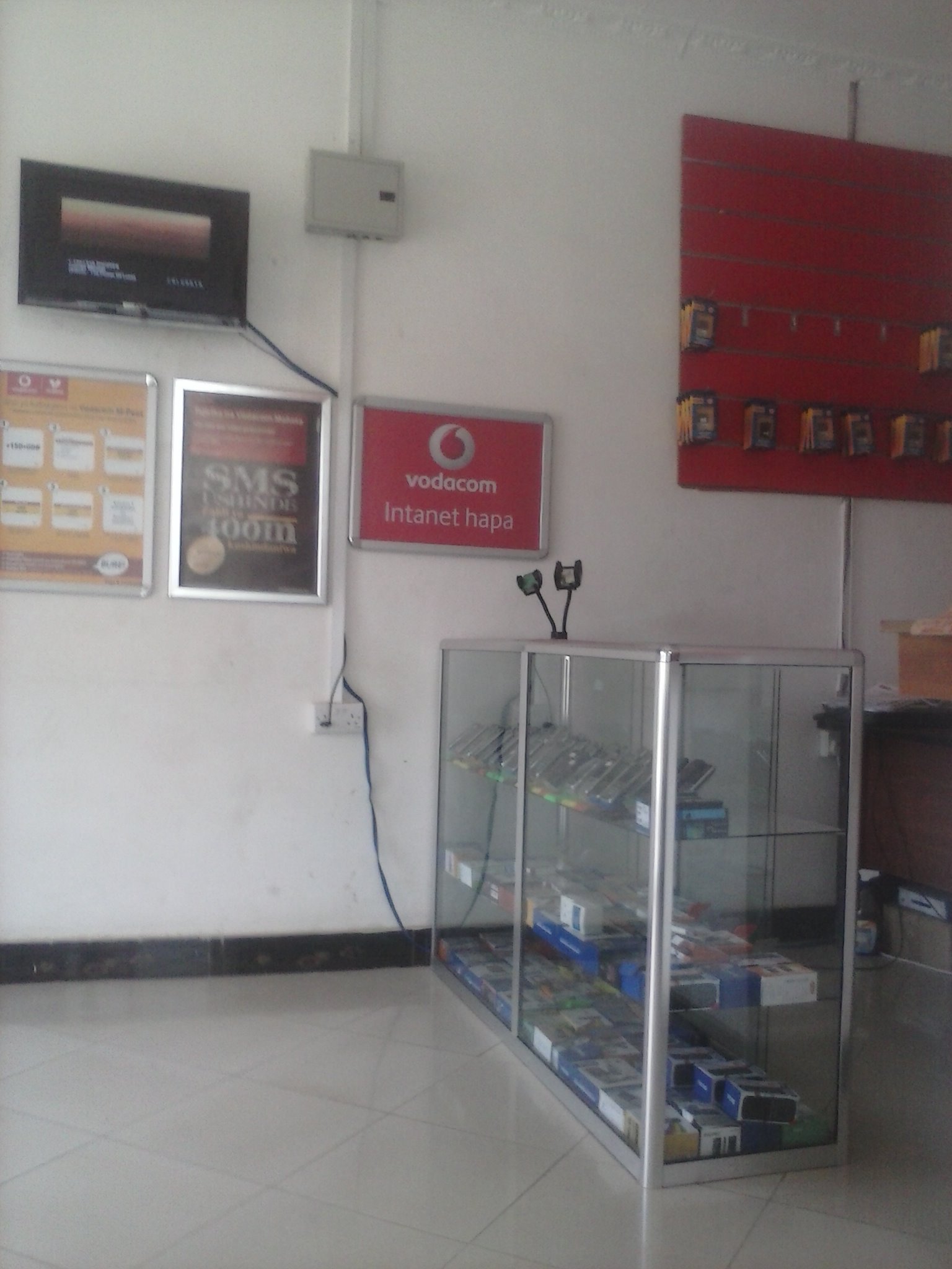
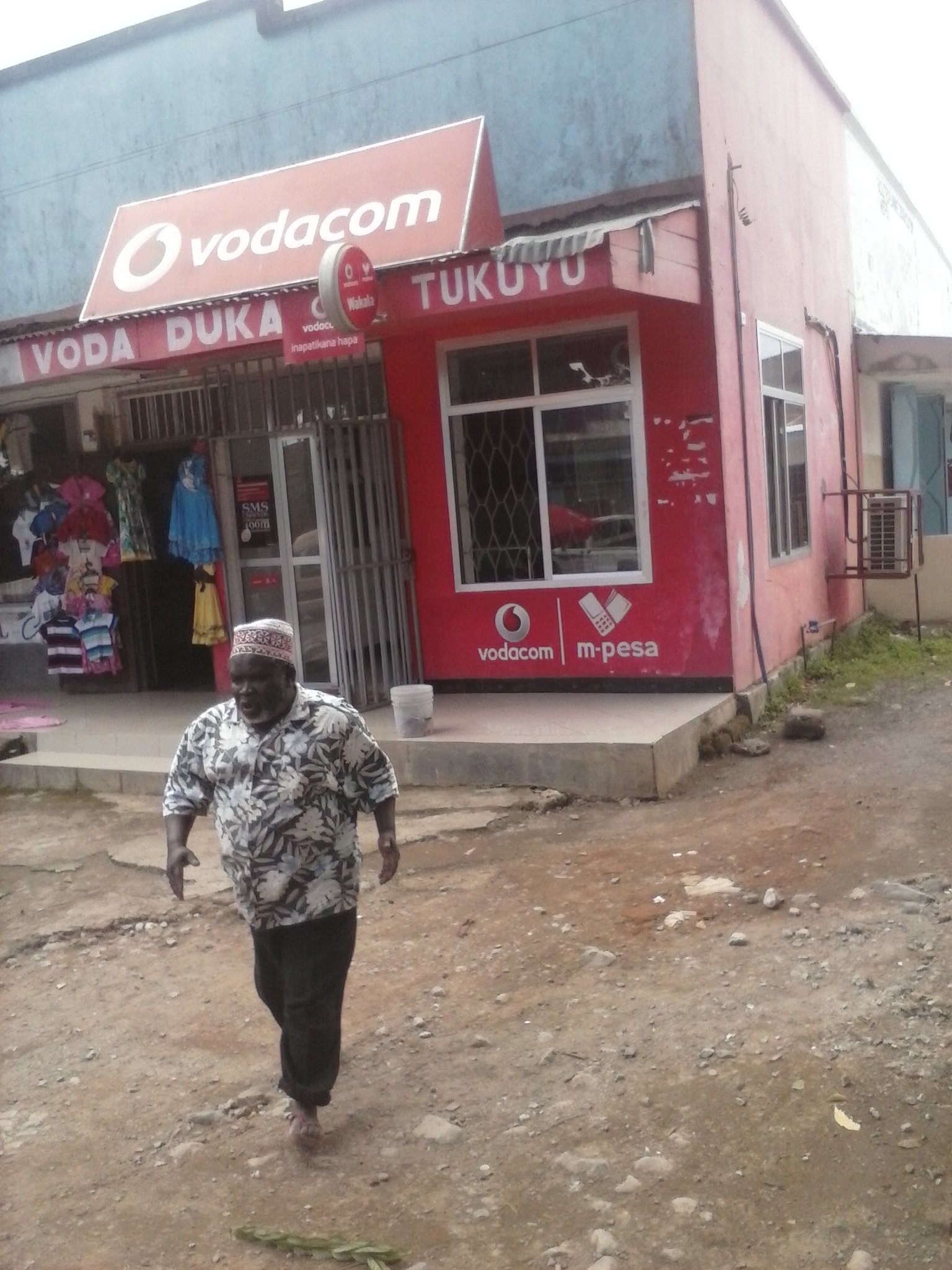
3998981_Vodacom-Tukuyu-1_1
3998981_Vodacom-Tukuyu-1_2

3998981_Vodacom-Tukuyu-1

3998981_Vodacom-Tukuyu-1_1
3604180_SBJA-107902456

3606740_SBJA-2008195731
3380274_SBJA-593358907
3380274_SBJA-1015358408
Topographic Map of Mount Rungwe, Tanzania
Find elevation by address:

Places near Mount Rungwe, Tanzania:
Rungwe
Igoma
B345
Njipanda
Masoko
Mbeya Rural
Santilya
Mbeya
Ileje
Utengule
Songwe River
Ileje
Chunya
Ipogoro
Vwawa
Songwe Region
Recent Searches:
- Elevation of 62 Abbey St, Marshfield, MA, USA
- Elevation of Fernwood, Bradenton, FL, USA
- Elevation of Felindre, Swansea SA5 7LU, UK
- Elevation of Leyte Industrial Development Estate, Isabel, Leyte, Philippines
- Elevation of W Granada St, Tampa, FL, USA
- Elevation of Pykes Down, Ivybridge PL21 0BY, UK
- Elevation of Jalan Senandin, Lutong, Miri, Sarawak, Malaysia
- Elevation of Bilohirs'k
- Elevation of 30 Oak Lawn Dr, Barkhamsted, CT, USA
- Elevation of Luther Road, Luther Rd, Auburn, CA, USA