Elevation of Mount Raung, Gunosari, Tlogosari, Bondowoso Regency, East Java, Indonesia
Location: Indonesia > East Java > Bondowoso Regency > Tlogosari > Gunosari >
Longitude: 114.045833
Latitude: -8.1258333
Elevation: 1809m / 5935feet
Barometric Pressure: 81KPa
Elevation Map:
Satellite Map:
Related Photos:
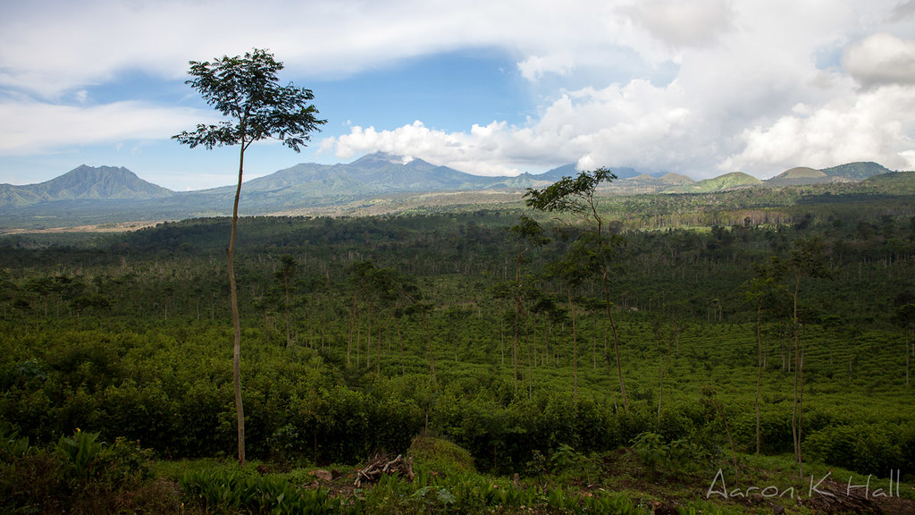
Looking across the caldera containing Kawah Ijen in the distance.
Topographic Map of Mount Raung, Gunosari, Tlogosari, Bondowoso Regency, East Java, Indonesia
Find elevation by address:

Places near Mount Raung, Gunosari, Tlogosari, Bondowoso Regency, East Java, Indonesia:
Gunosari
Tlogosari
Kalibaru
Jalan Raya Kalibaru
Paltuding Kawah Ijen Banyuwangi Jatim
Licin Ijen
Ijen
Glagah
Banyuwangi Regency
Banyuwangi
Situbondo Regency
Bali Strait
Banyuputih
Baluran National Park
Sumberwaru
Melaya, Jembrana Regency, Bali, Indonesia
Melaya
Seririt
Buleleng Regency
Mayong
Recent Searches:
- Elevation of Corso Fratelli Cairoli, 35, Macerata MC, Italy
- Elevation of Tallevast Rd, Sarasota, FL, USA
- Elevation of 4th St E, Sonoma, CA, USA
- Elevation of Black Hollow Rd, Pennsdale, PA, USA
- Elevation of Oakland Ave, Williamsport, PA, USA
- Elevation of Pedrógão Grande, Portugal
- Elevation of Klee Dr, Martinsburg, WV, USA
- Elevation of Via Roma, Pieranica CR, Italy
- Elevation of Tavkvetili Mountain, Georgia
- Elevation of Hartfords Bluff Cir, Mt Pleasant, SC, USA