Elevation of Mount Packenham, Kananaskis, AB T0L, Canada
Location: Canada > Alberta > Turner Valley >
Longitude: -115.09166
Latitude: 50.7533333
Elevation: 2853m / 9360feet
Barometric Pressure: 71KPa
Elevation Map:
Satellite Map:
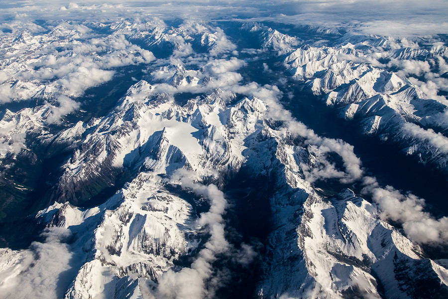
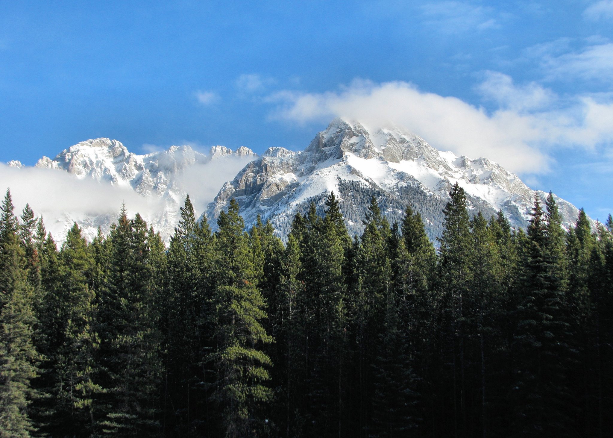
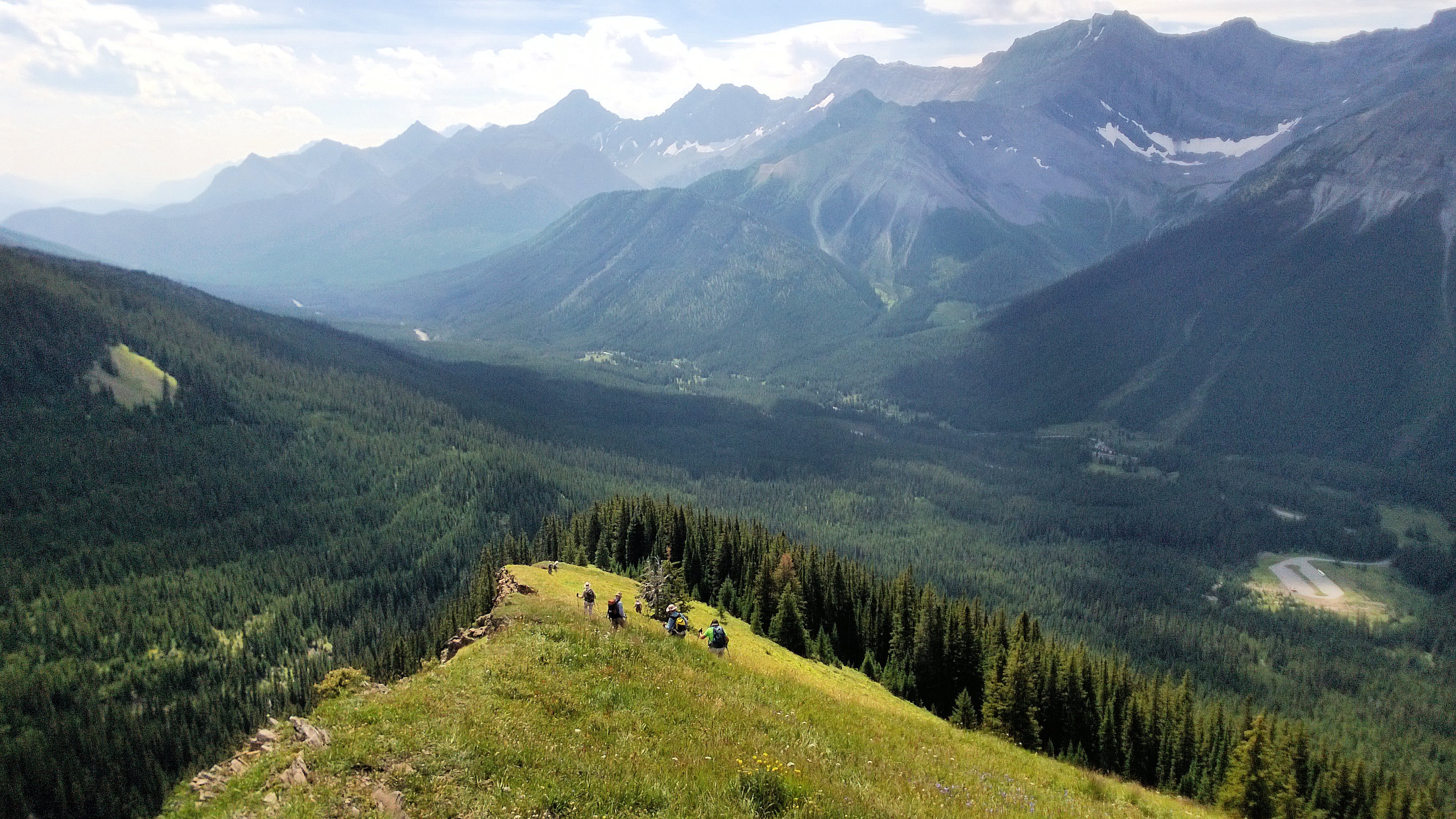
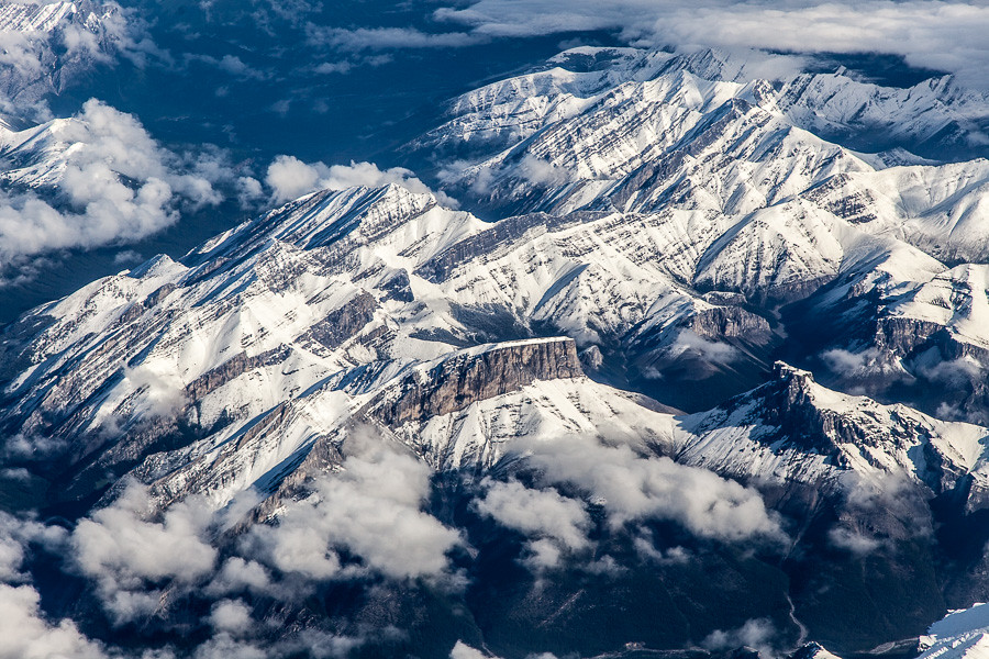
Related Photos:
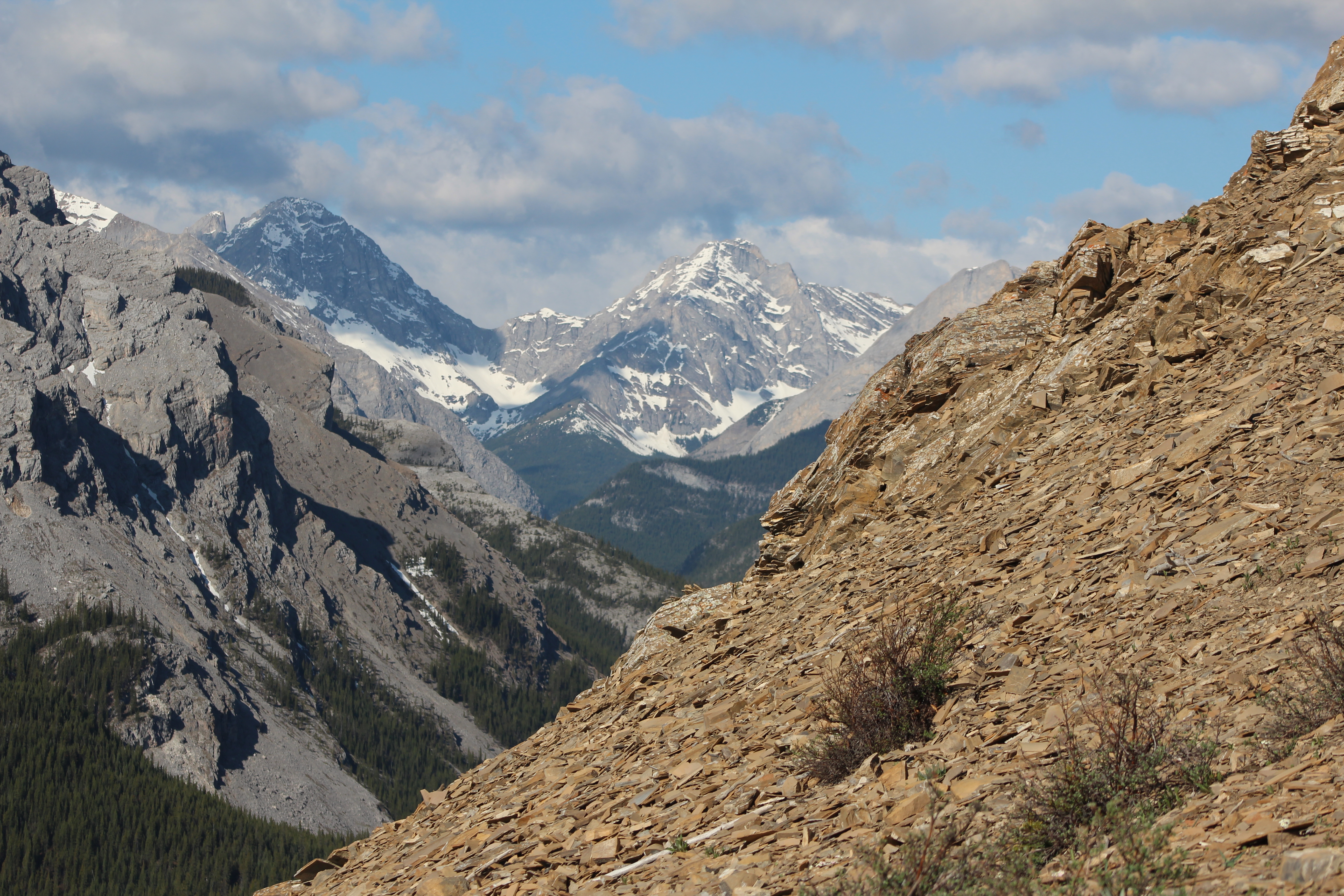
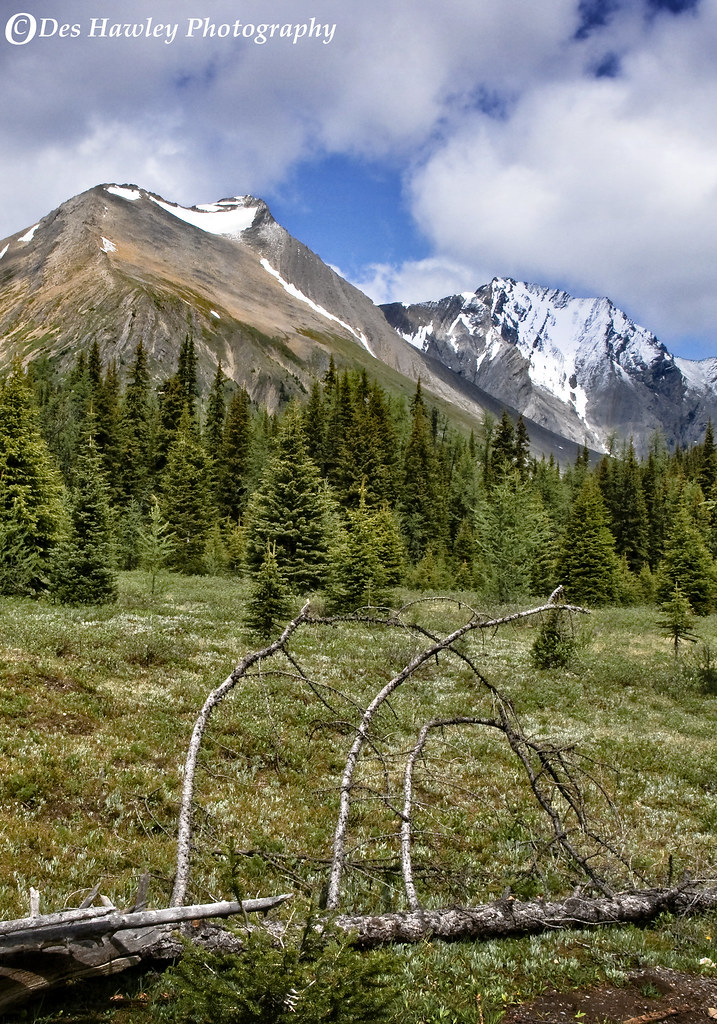
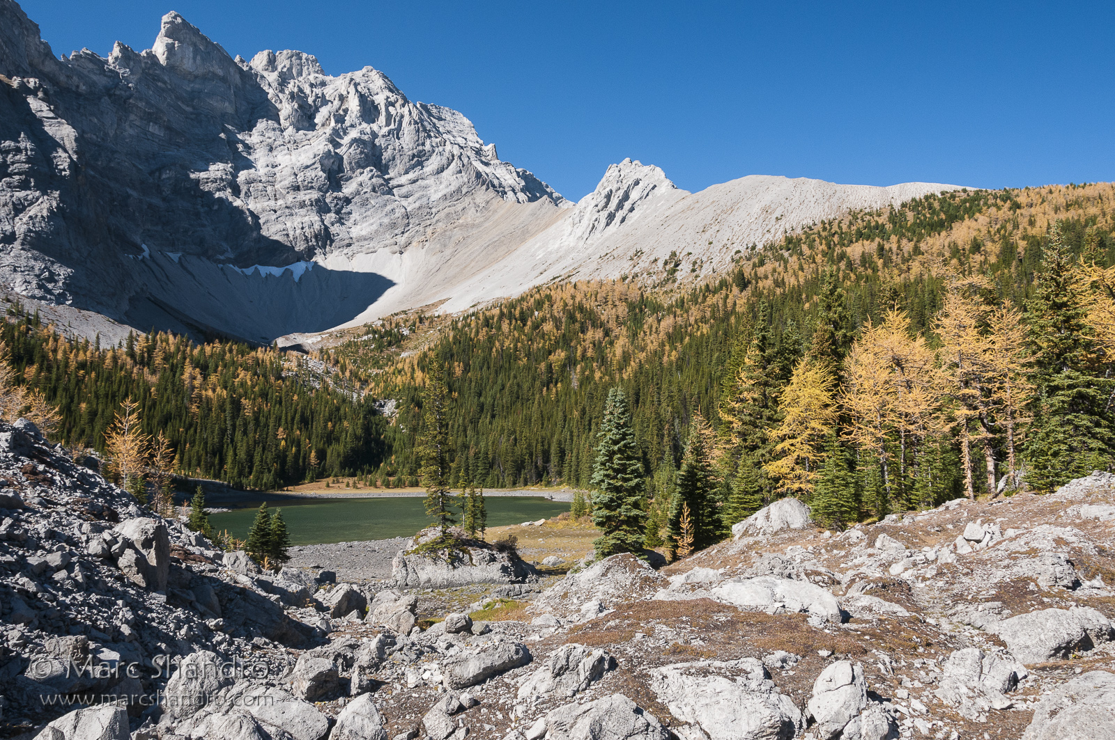
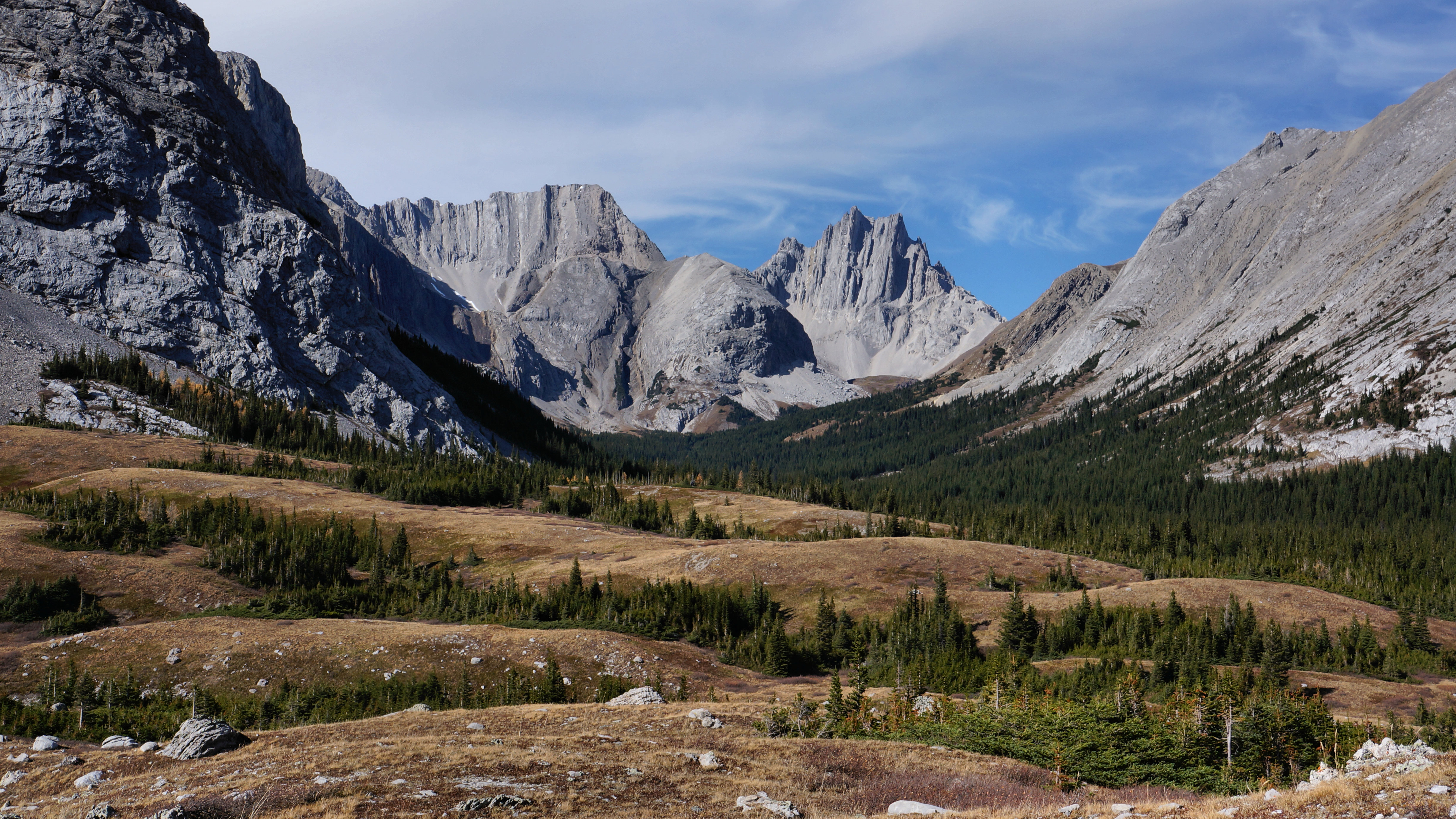
Nihahi Ridge the hike back down
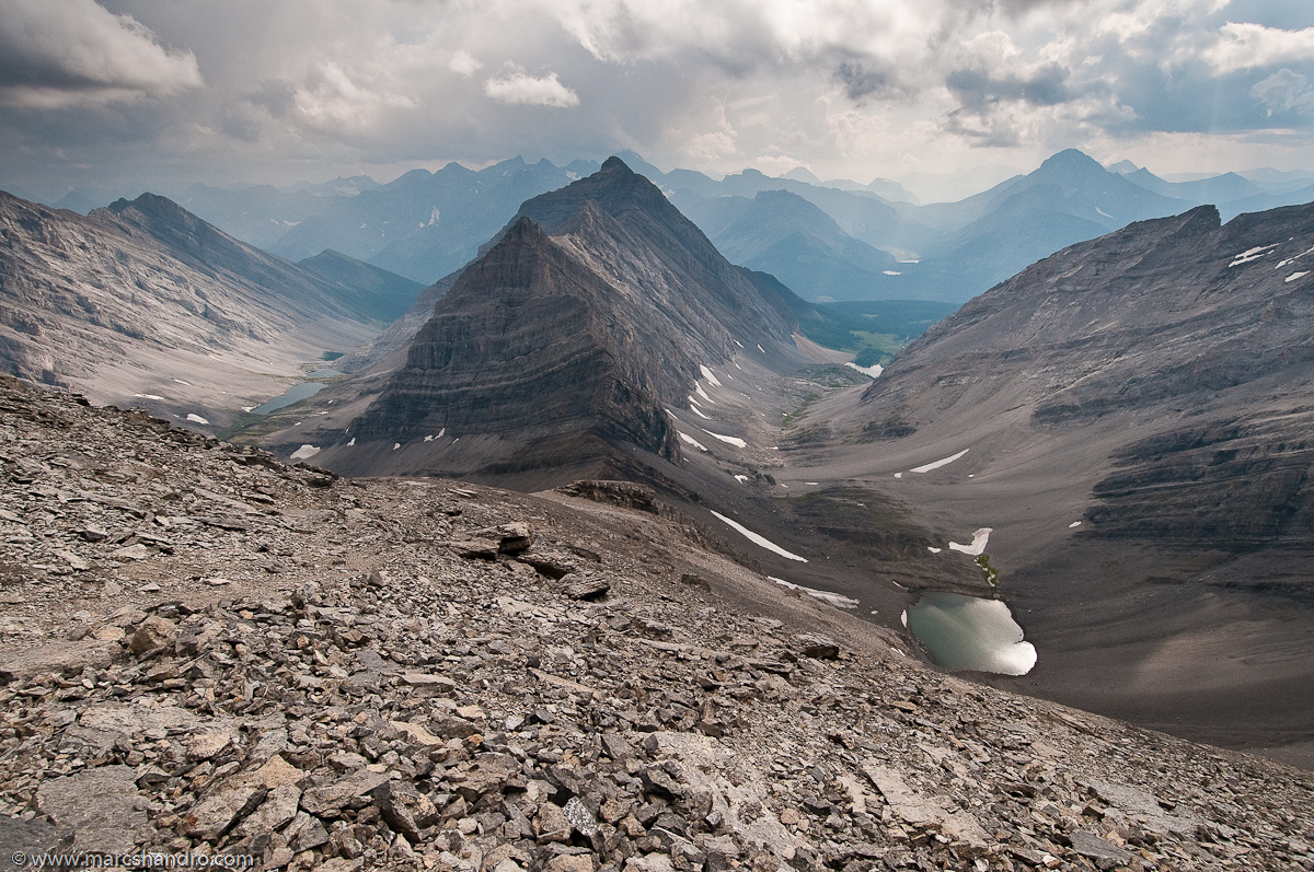
The Valleys Surrounding Mt. Chester
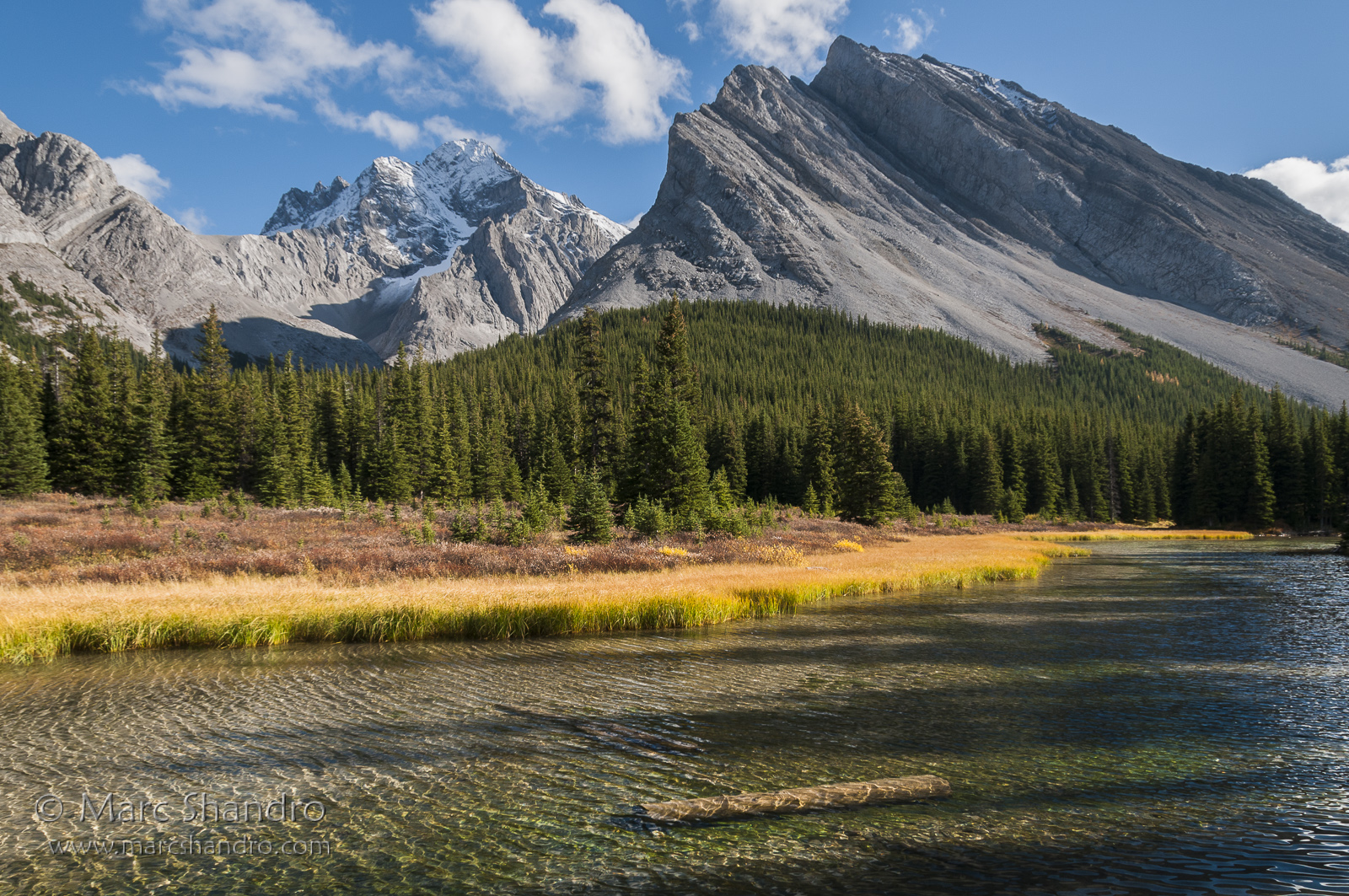
Elbow River Sparkles With Mount Rae Watching - Kananaskis Alberta - Canadian Rockies
Nihahi Ridge the hike back down
TWIN BEAUTIES
Piper Pass Lies Ahead - Kananaskis Alberta - Canadian Rockies
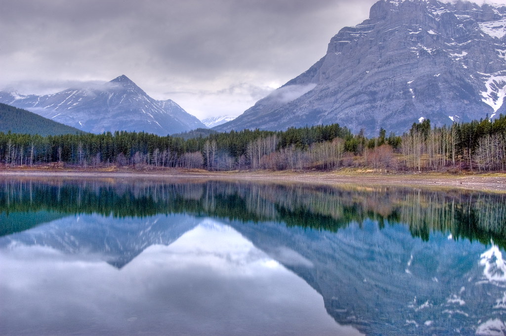
Mount Kidd Reflection
Upper Kananaskis Lake
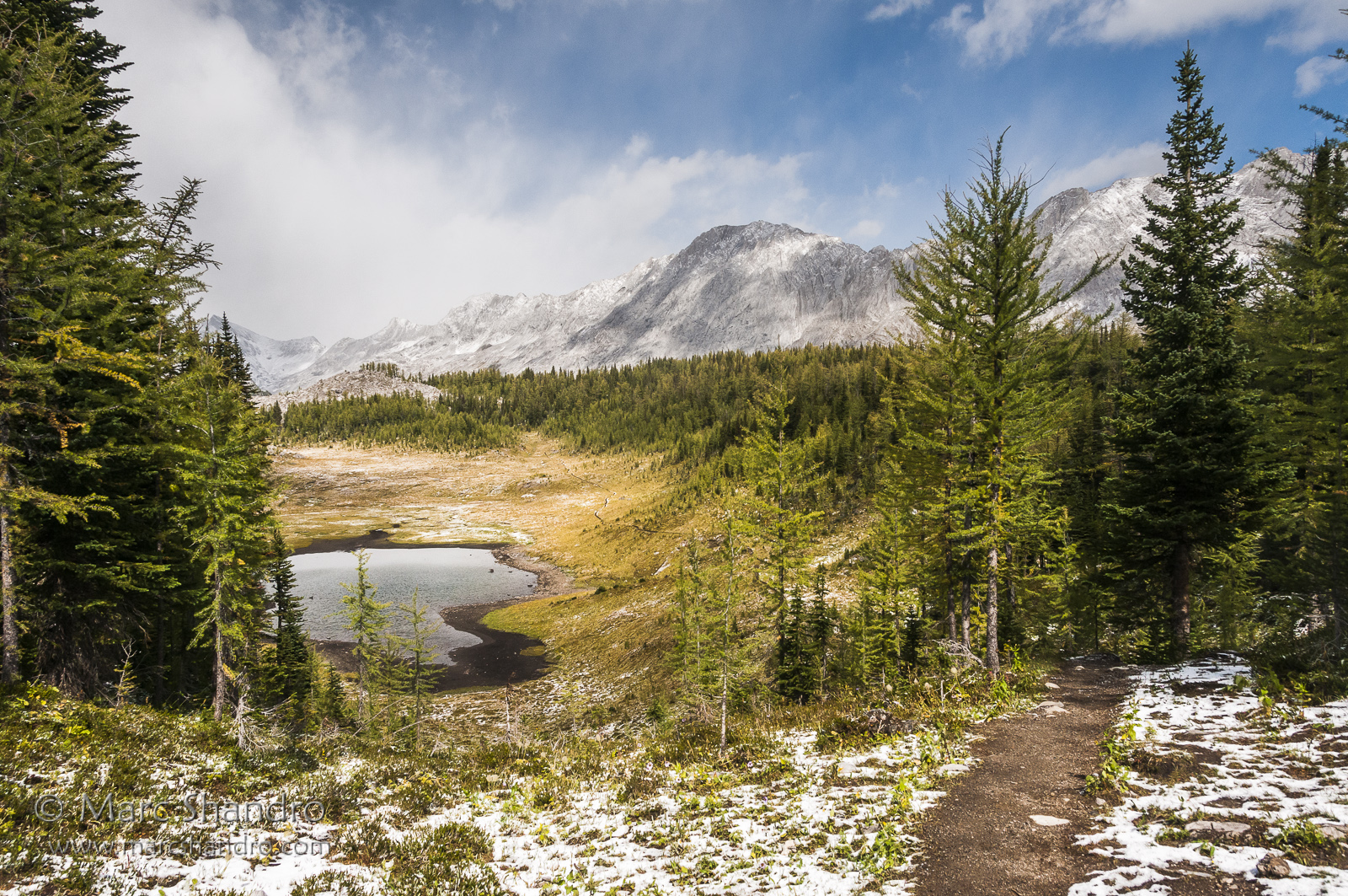
Upper Tombstone Lake - Autumn in Kananaskis Alberta - Canadian Rockies
Wedge Pond
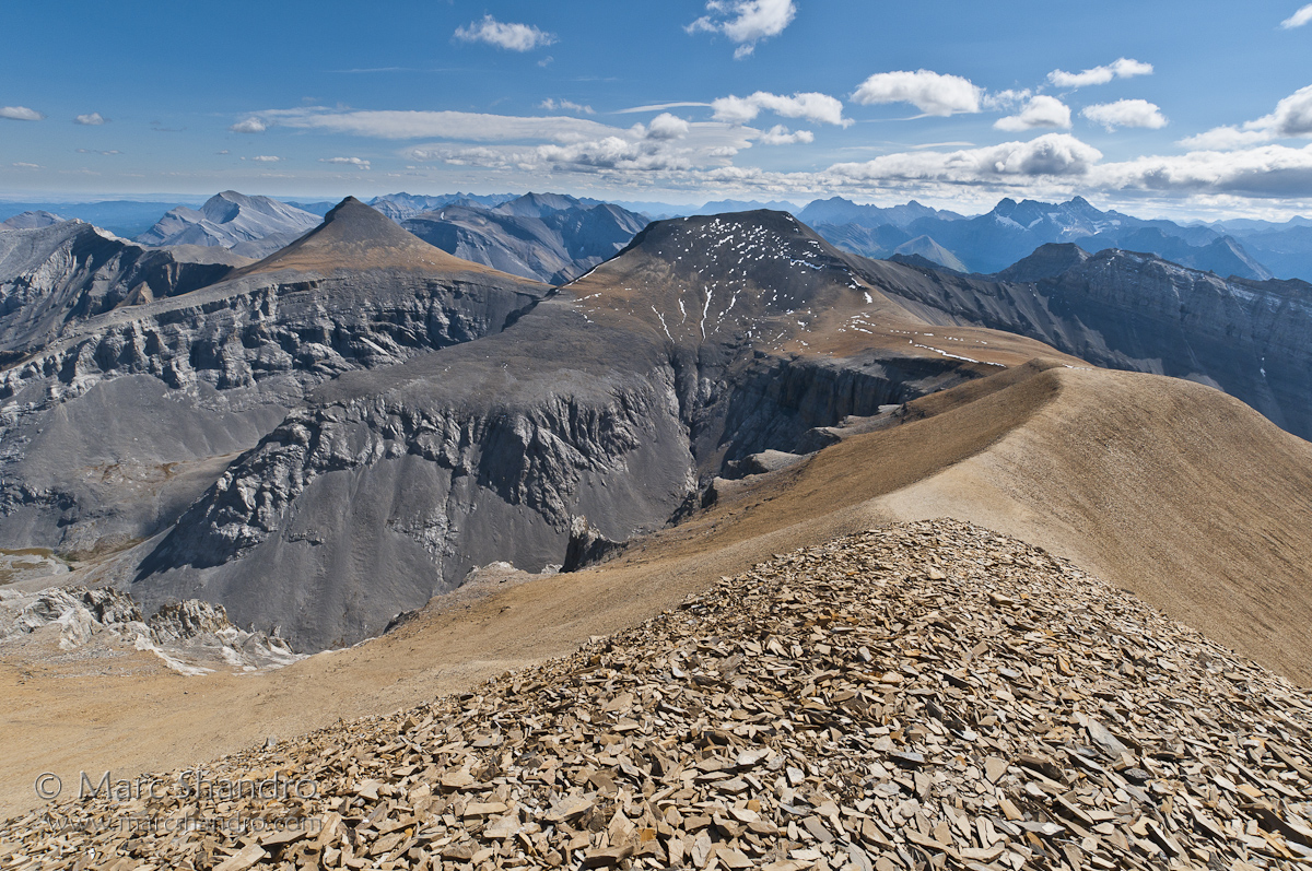
Nihahi Ridge the hike back down
Heaven on earth
Banded Peak and Outlaw From Mt. Cornwall
Putnik Pond - Kananaskis Alberta - Canadian Rockies
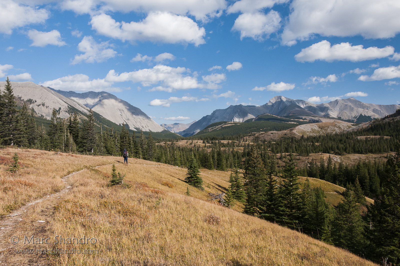
Backpacking In Kananaskis Country - Canadian Rockies
Little Elbow Valley
Aerial View of the Kananaskis Range and Spray Valley
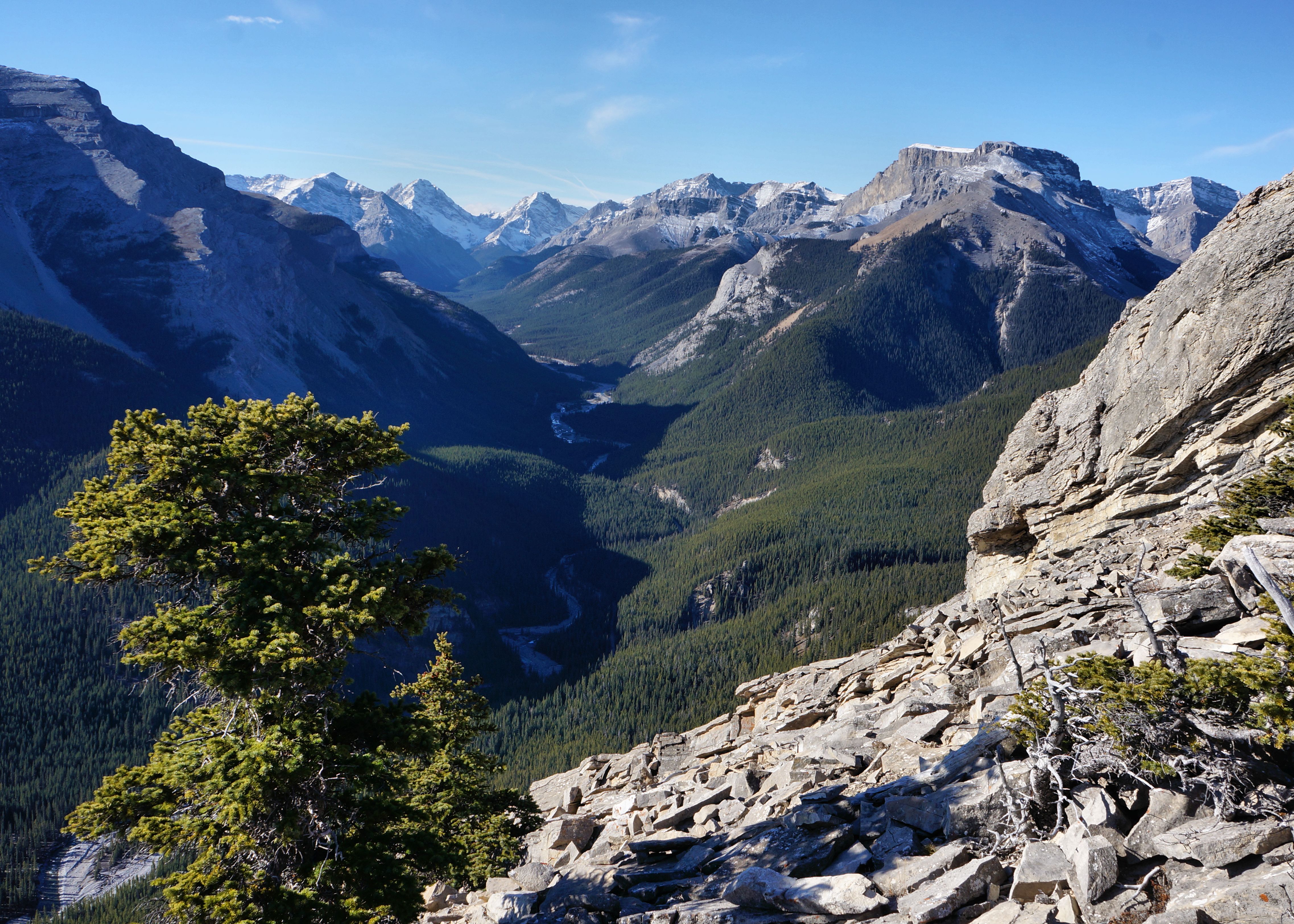
This view stopped us in our tracks for a few minutes
Spray Valley South
Aerial View of Mount Romulus, Alberta
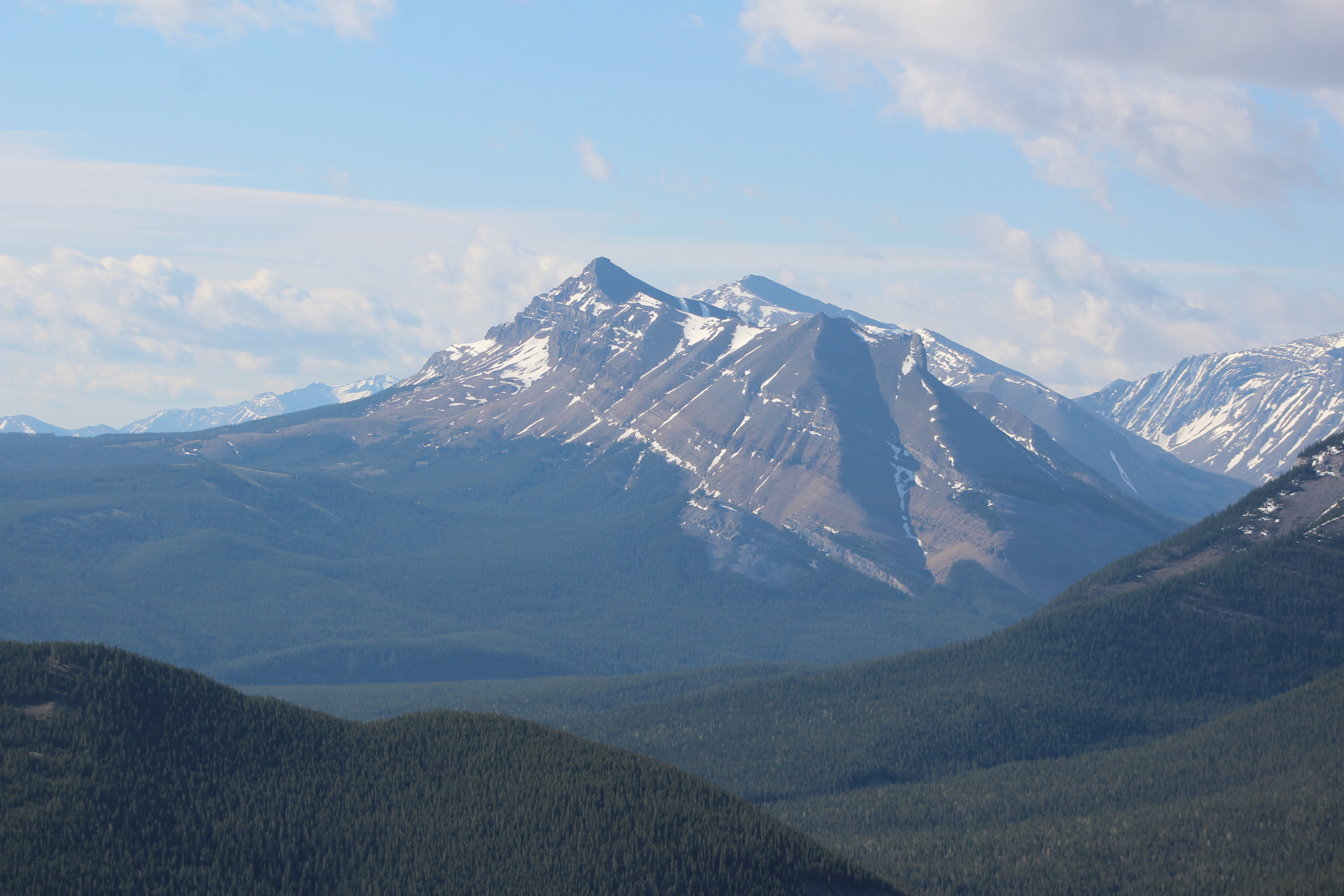
Return view
Topographic Map of Mount Packenham, Kananaskis, AB T0L, Canada
Find elevation by address:

Places near Mount Packenham, Kananaskis, AB T0L, Canada:
Mount Evan-thomas
Mount Potts
Mount Blane
Peter Lougheed Provincial Park
Mount Denny
Peak Evan-thomas E3
Mount Burney
Mount Wintour
Tombstone Mountain
Elkwood Campground
Mount Lawson
Mount Kent
Gap Mountain
Mount Romulus
Elpoca Mountain
Mount Inflexible
Mount Remus
Kananaskis Lakes
Murray N1
Mount Smith Dorrien
Recent Searches:
- Elevation of Corso Fratelli Cairoli, 35, Macerata MC, Italy
- Elevation of Tallevast Rd, Sarasota, FL, USA
- Elevation of 4th St E, Sonoma, CA, USA
- Elevation of Black Hollow Rd, Pennsdale, PA, USA
- Elevation of Oakland Ave, Williamsport, PA, USA
- Elevation of Pedrógão Grande, Portugal
- Elevation of Klee Dr, Martinsburg, WV, USA
- Elevation of Via Roma, Pieranica CR, Italy
- Elevation of Tavkvetili Mountain, Georgia
- Elevation of Hartfords Bluff Cir, Mt Pleasant, SC, USA