Elevation of Mount Orab, Mt Orab, OH, USA
Location: United States > Ohio > Brown County > Pike Township >
Longitude: -83.919652
Latitude: 39.0275659
Elevation: 287m / 942feet
Barometric Pressure: 98KPa
Elevation Map:
Satellite Map:
Related Photos:

IMG_1880.JPG
White Oak Valley.

Up the crossing

Another walk to this great view [HDR]
Another walk to this great view
View From an Old Bridge
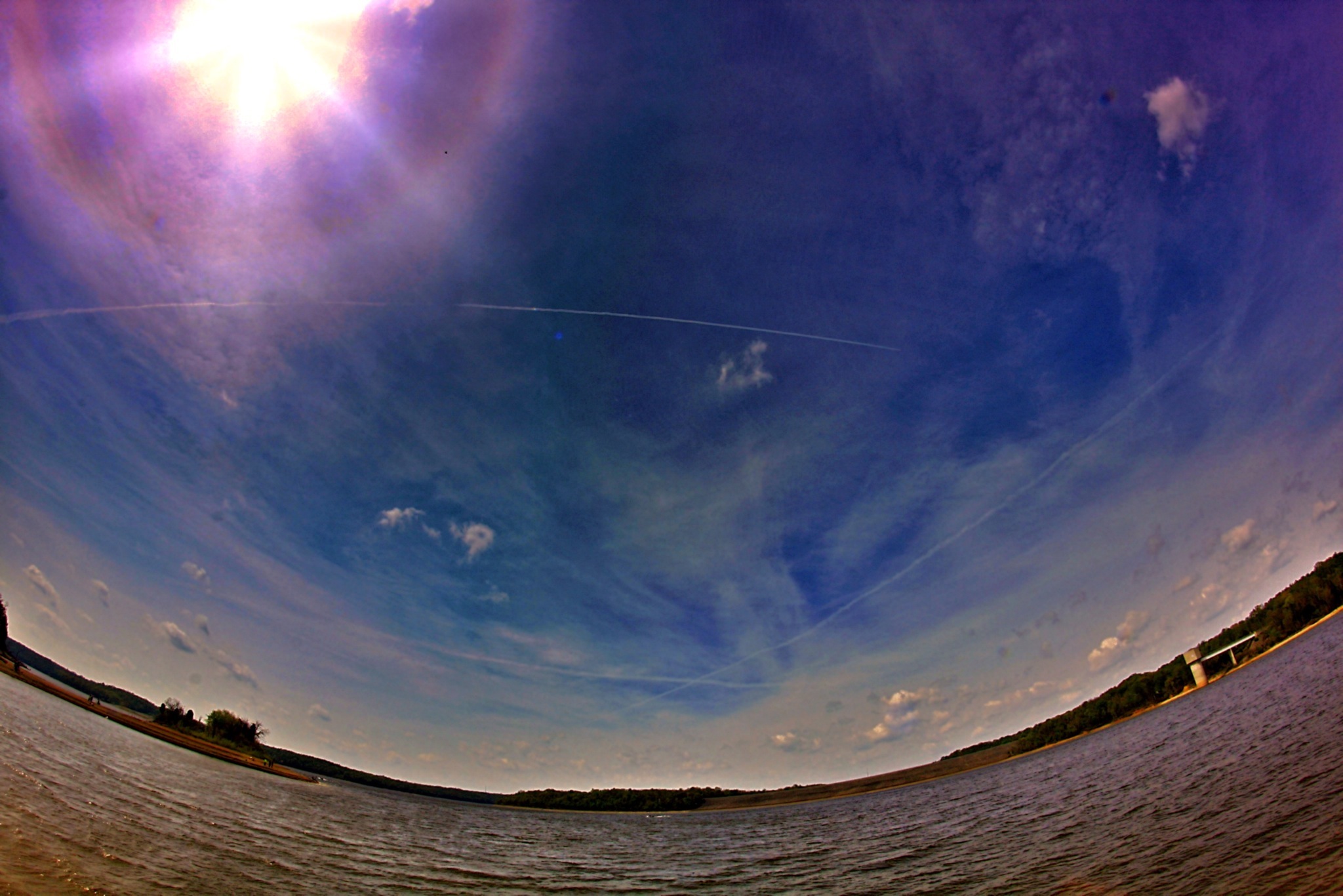
5 IMAGE PANO OF EAST FORK LAKE - BETHEL CONCORD MUDFLAT AREA
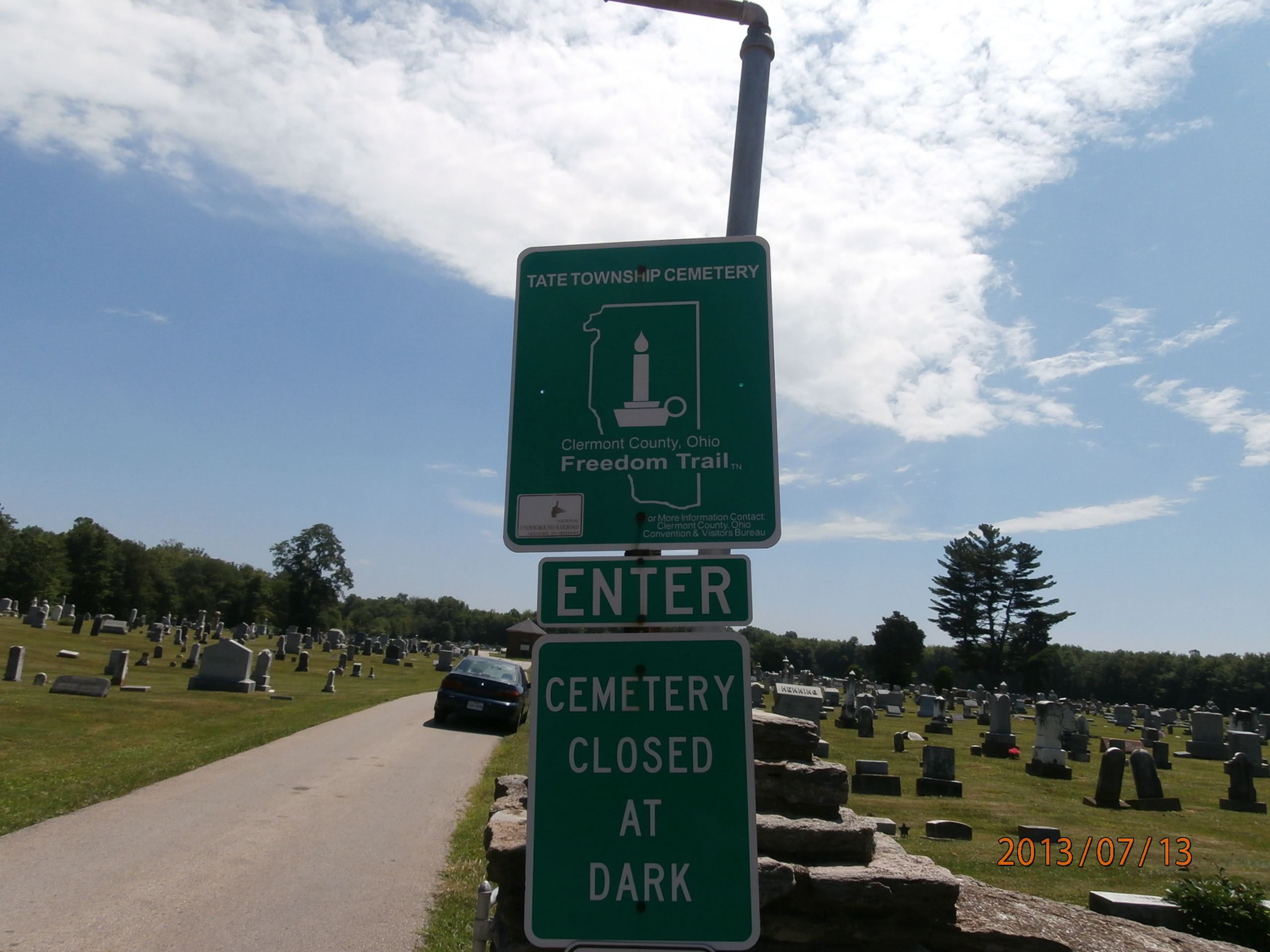
Tate Township Cemetery
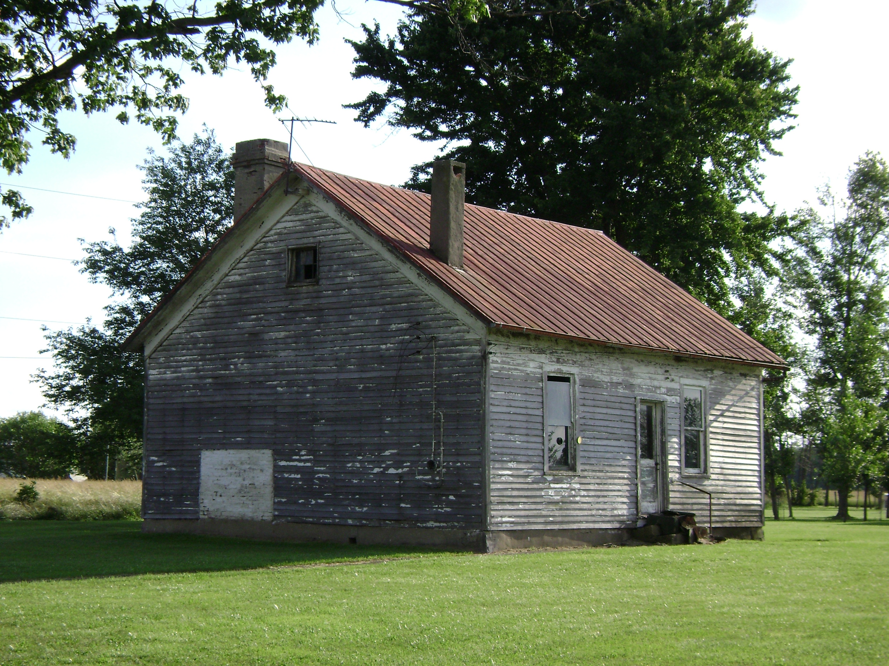
New Hope, Ohio- School Number 2
Eastwood, Ohio- De La Palma Schoolhouse

U.S. Senator Thomas Morris Burial Site
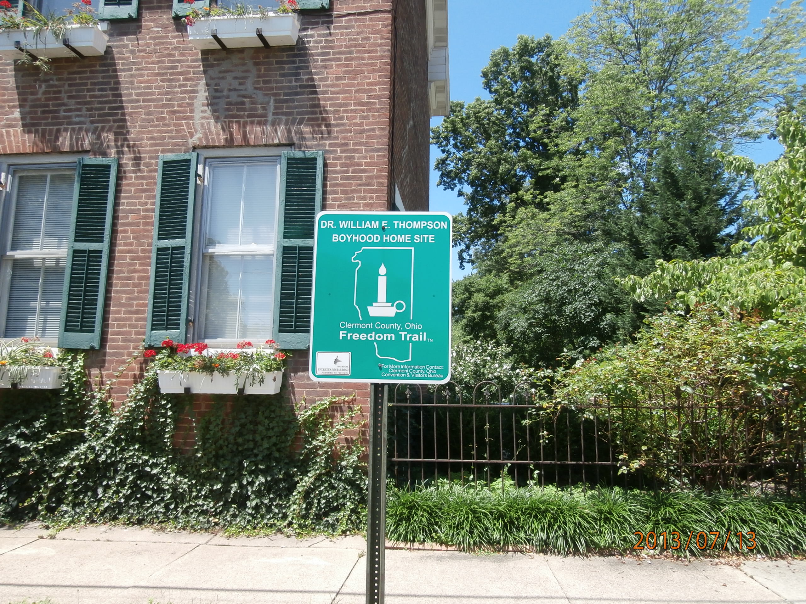
Dr. William E. Thompson Boyhood Home Site
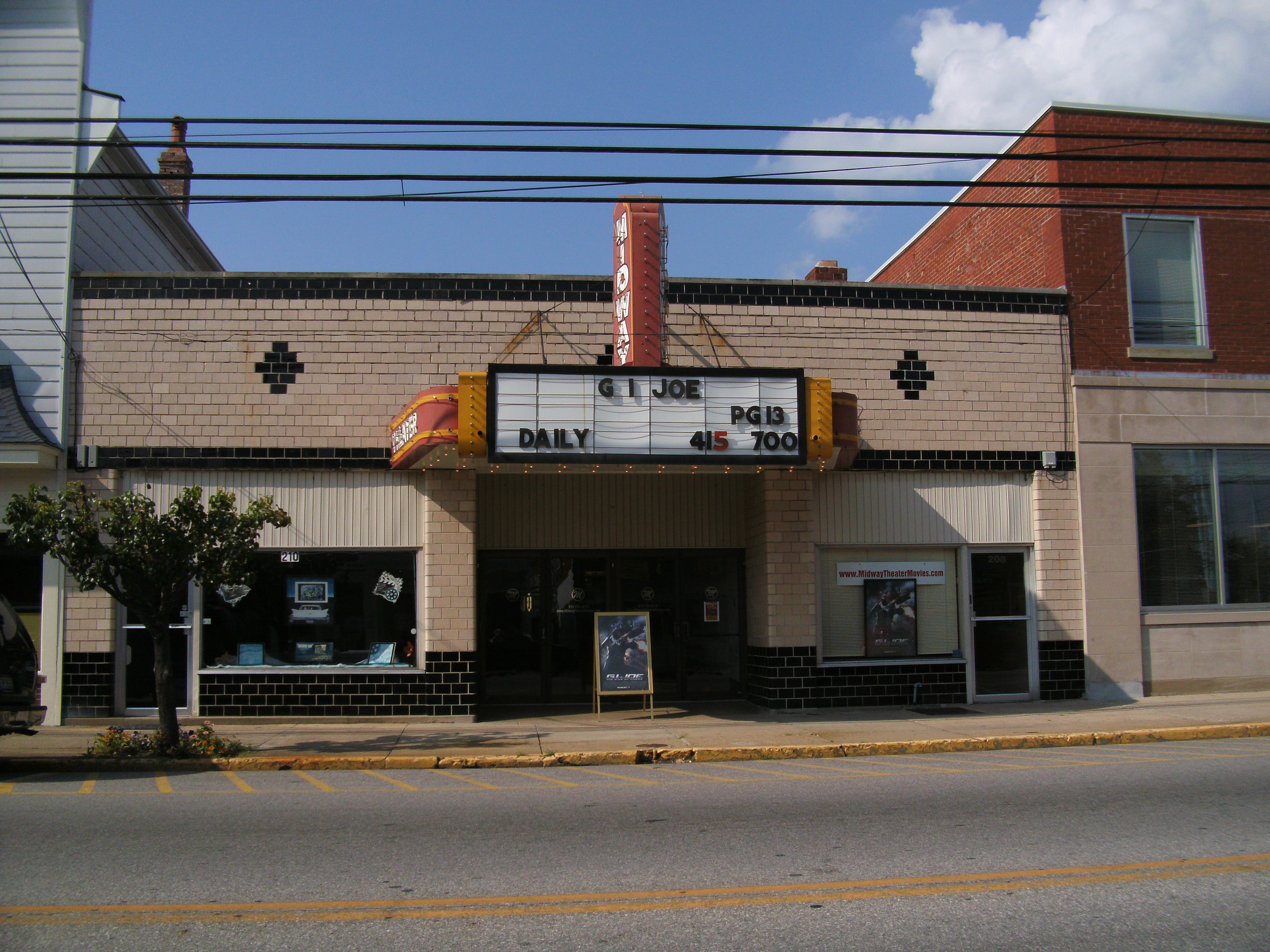
Midway Theater, front view
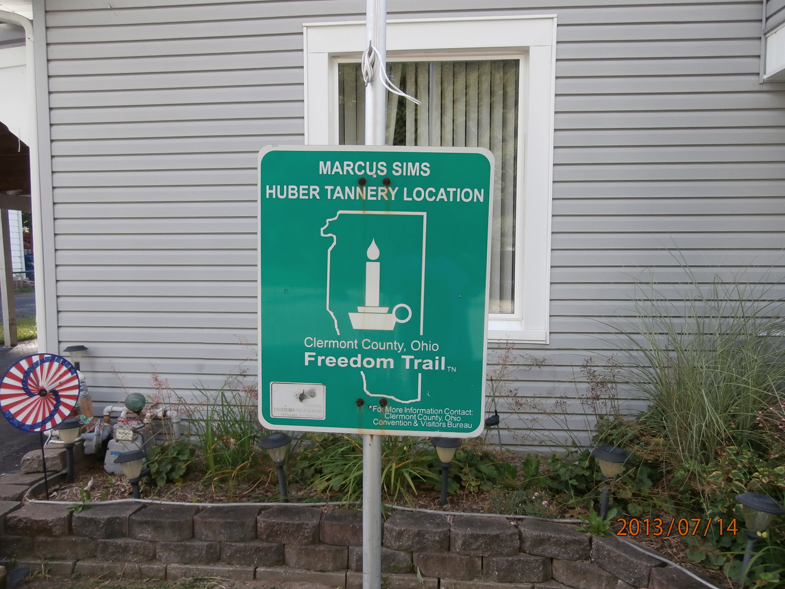
Marcus Sims Huber Tannery Location
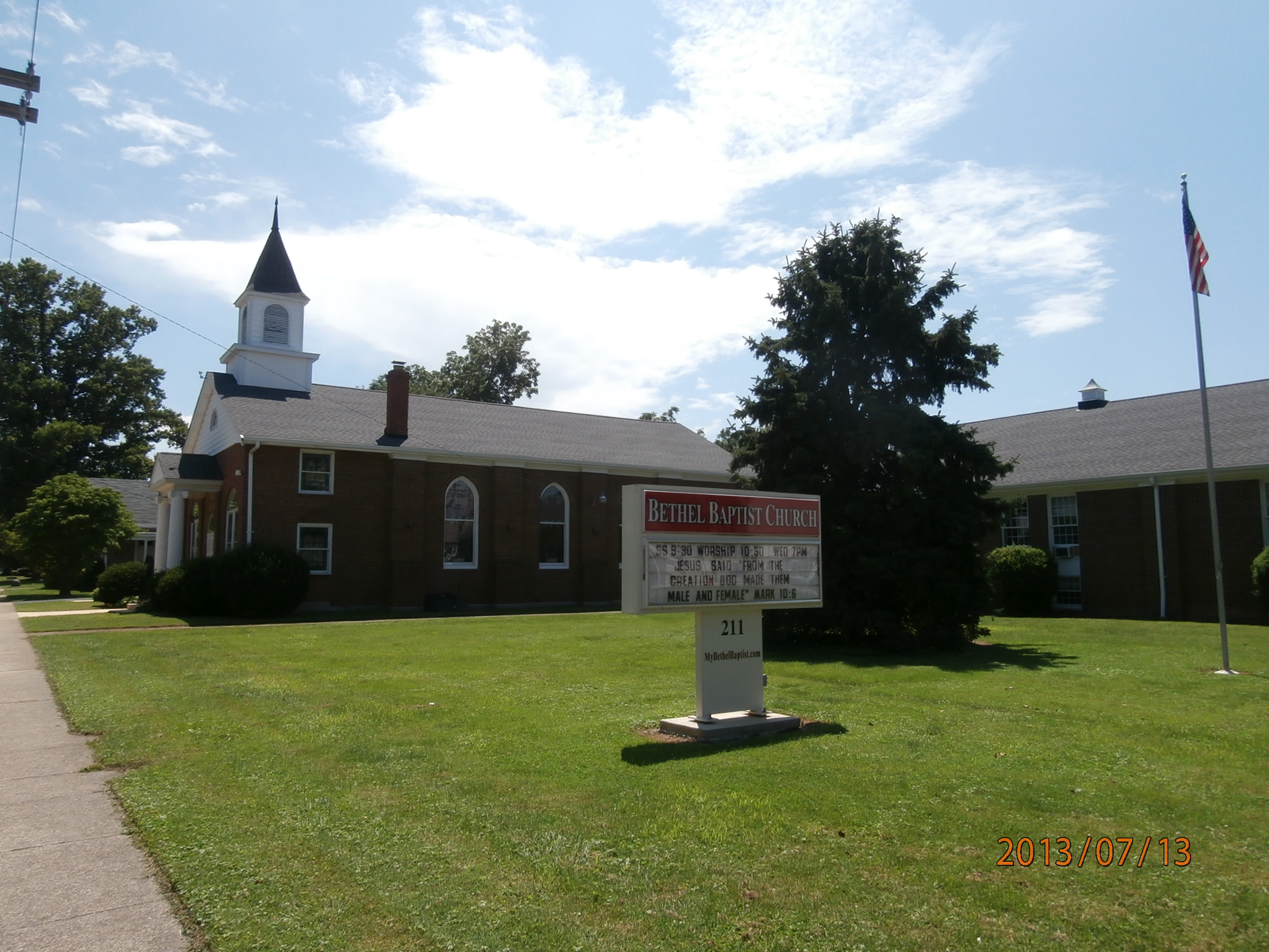
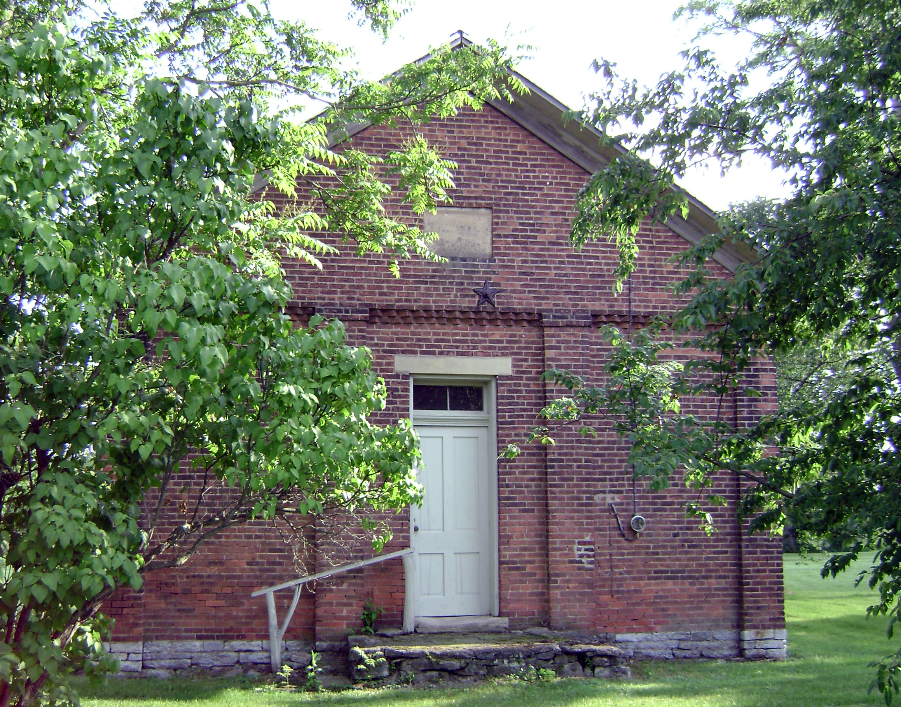
Bethel Baptist Church

Old Settlers Cemetery

The long view

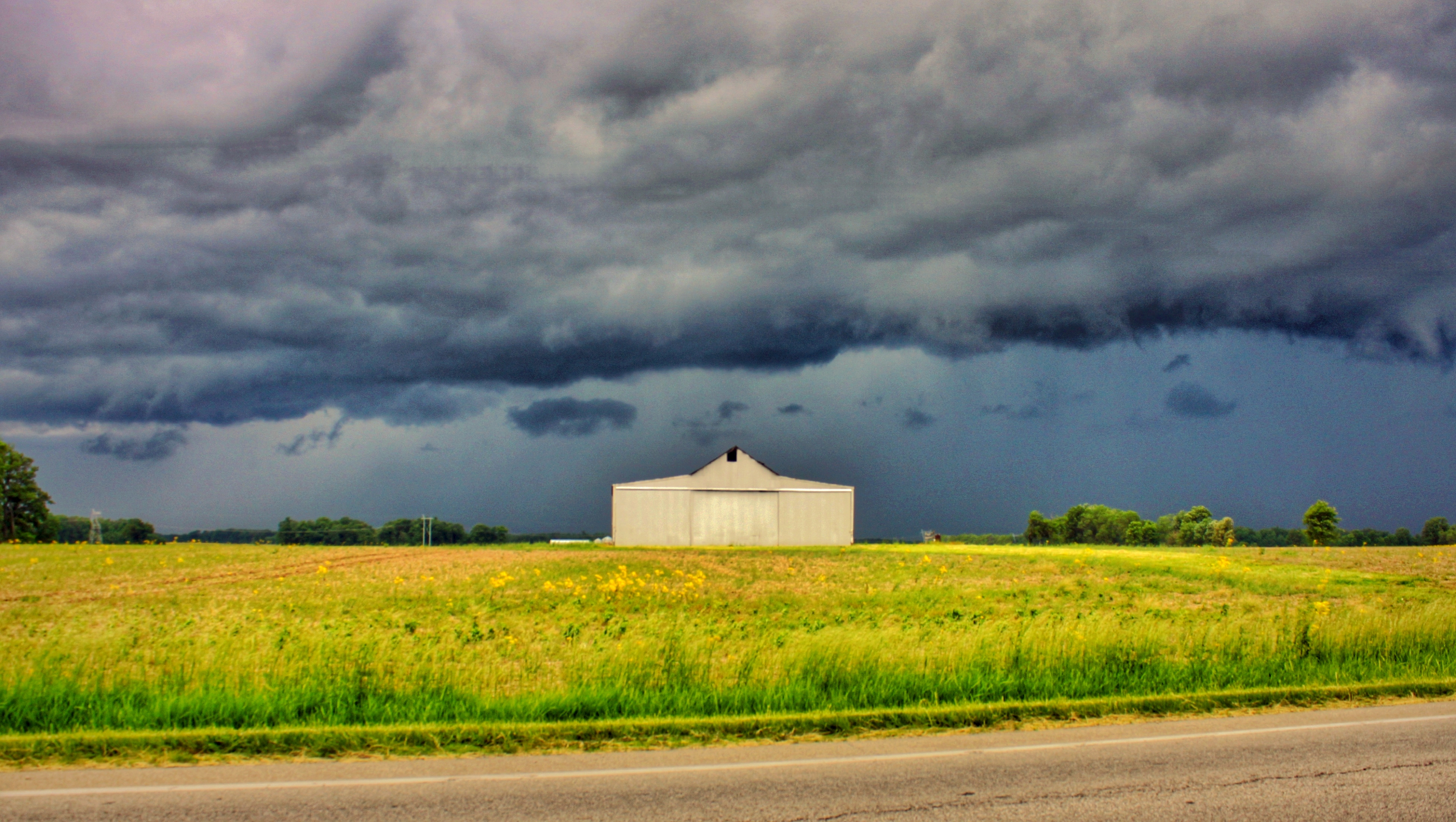
Last night's rain
IMG_6053.JPG

IMG_6244.JPG

IMG_2742.JPG

IMG_6054.JPG

Explored (10.06.2014)

IMG_2268.JPG

IMG_5683.JPG

IMG_1739.JPG
East Fork

IMG_6669.JPG
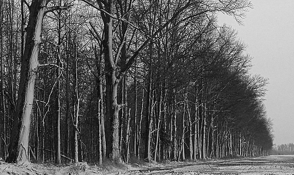
Tree Line, 3-7-2013

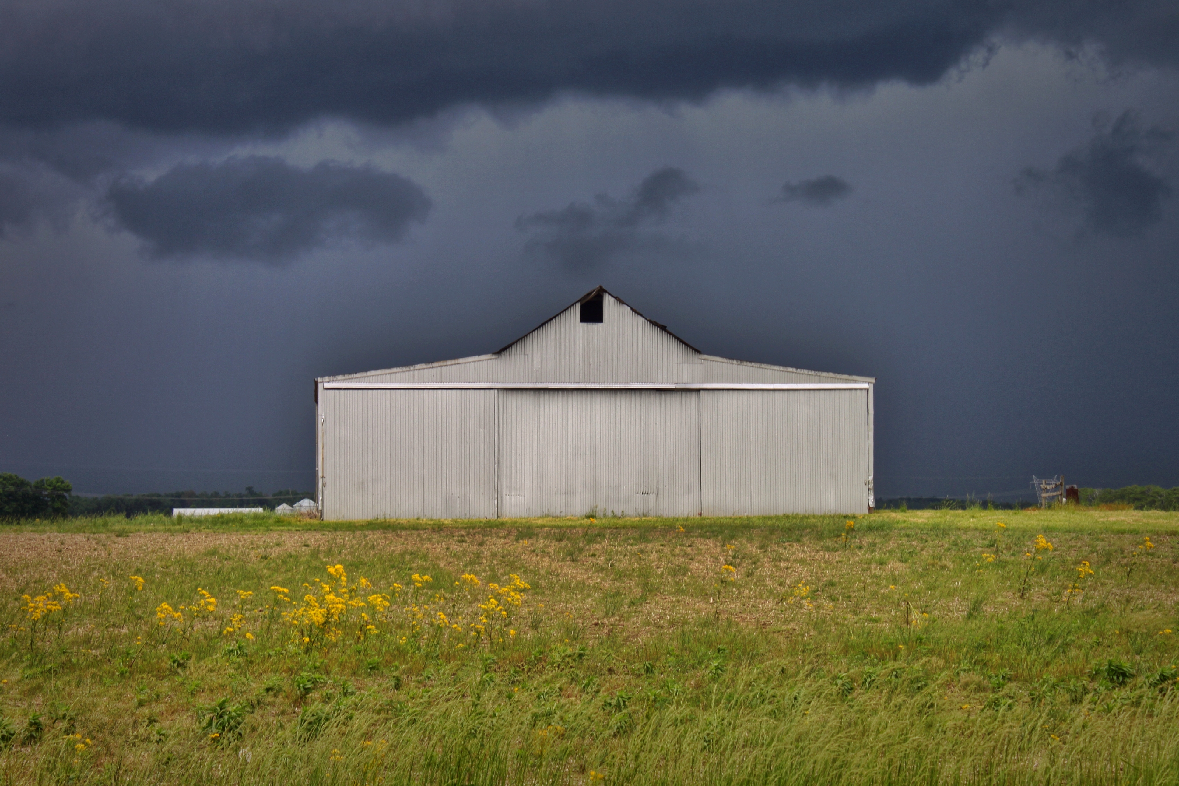
Old Farm House

IMG_4761.JPG

IMG_6671.JPG

IMG_4763.JPG

Sunset Flight.

IMG_1803.JPG

Sunrise, 3-21-2014. EXPLORE,3-23-2014.

Yellow, Blue, and Green.

First official RAW photos.
IMG_5763.JPG
Topographic Map of Mount Orab, Mt Orab, OH, USA
Find elevation by address:

Places in Mount Orab, Mt Orab, OH, USA:
Places near Mount Orab, Mt Orab, OH, USA:
Pike Township
2534 New Harmony Shiloh Rd
Bodman Rd, Mt Orab, OH, USA
Eastwood Rd, Williamsburg, OH, USA
16377 Bodman Rd
Sterling Township
Oakland-Locust Ridge Rd, Mt Orab, OH, USA
Beltz Rd, Sardinia, OH, USA
Hamer Rd, Sardinia, OH, USA
1320 Oh-321
Lindsey-Shafer Rd, Georgetown, OH, USA
Brown County
Musgrove Rd, Williamsburg, OH, USA
Sardinia
Winchester St, Sardinia, OH, USA
Washington Township
4817 Burdsall Rd
Hamersville
Wahlsburg East Rd, Georgetown, OH, USA
Franklin Township
Recent Searches:
- Elevation of W Granada St, Tampa, FL, USA
- Elevation of Pykes Down, Ivybridge PL21 0BY, UK
- Elevation of Jalan Senandin, Lutong, Miri, Sarawak, Malaysia
- Elevation of Bilohirs'k
- Elevation of 30 Oak Lawn Dr, Barkhamsted, CT, USA
- Elevation of Luther Road, Luther Rd, Auburn, CA, USA
- Elevation of Unnamed Road, Respublika Severnaya Osetiya — Alaniya, Russia
- Elevation of Verkhny Fiagdon, North Ossetia–Alania Republic, Russia
- Elevation of F. Viola Hiway, San Rafael, Bulacan, Philippines
- Elevation of Herbage Dr, Gulfport, MS, USA