Elevation of Mount Monkley, Nisga'a, BC V8G, Canada
Location: Canada > British Columbia > Kitimat-stikine > Nisga'a >
Longitude: -129.64749
Latitude: 54.8911111
Elevation: 1718m / 5636feet
Barometric Pressure: 82KPa
Elevation Map:
Satellite Map:
Related Photos:
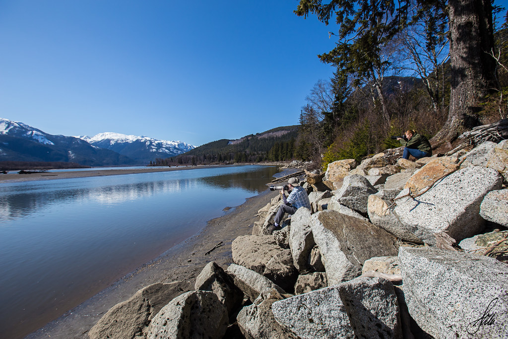
Mike & Lisa Shooting
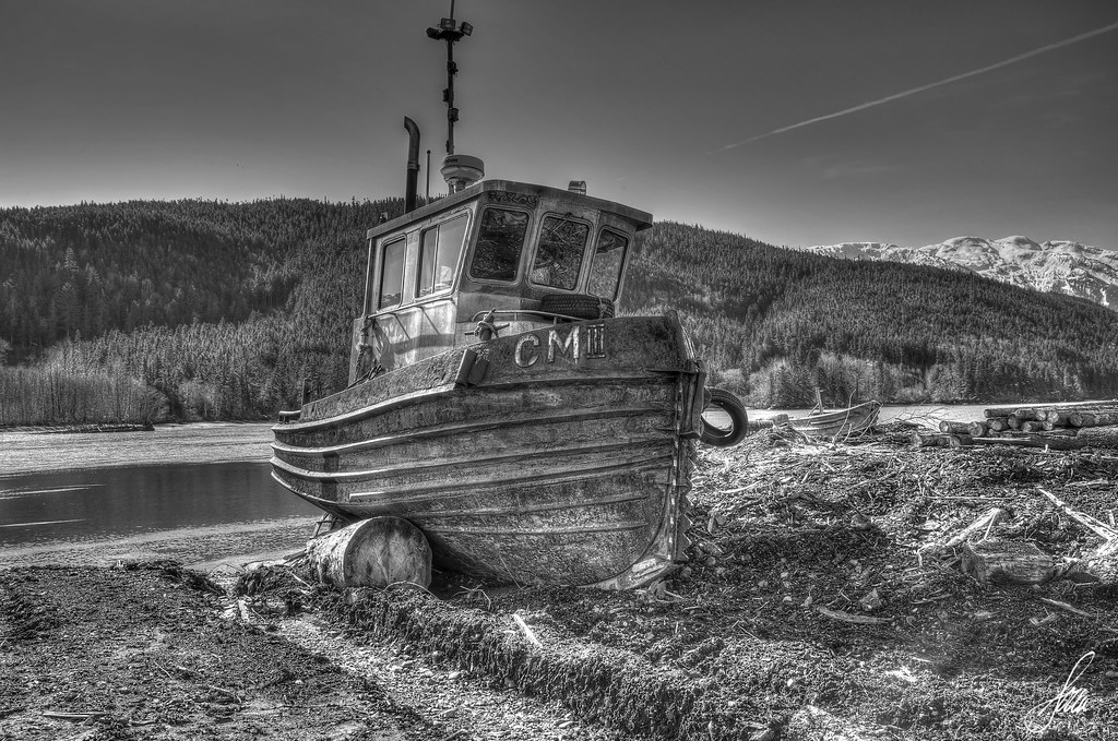
Boat HDR
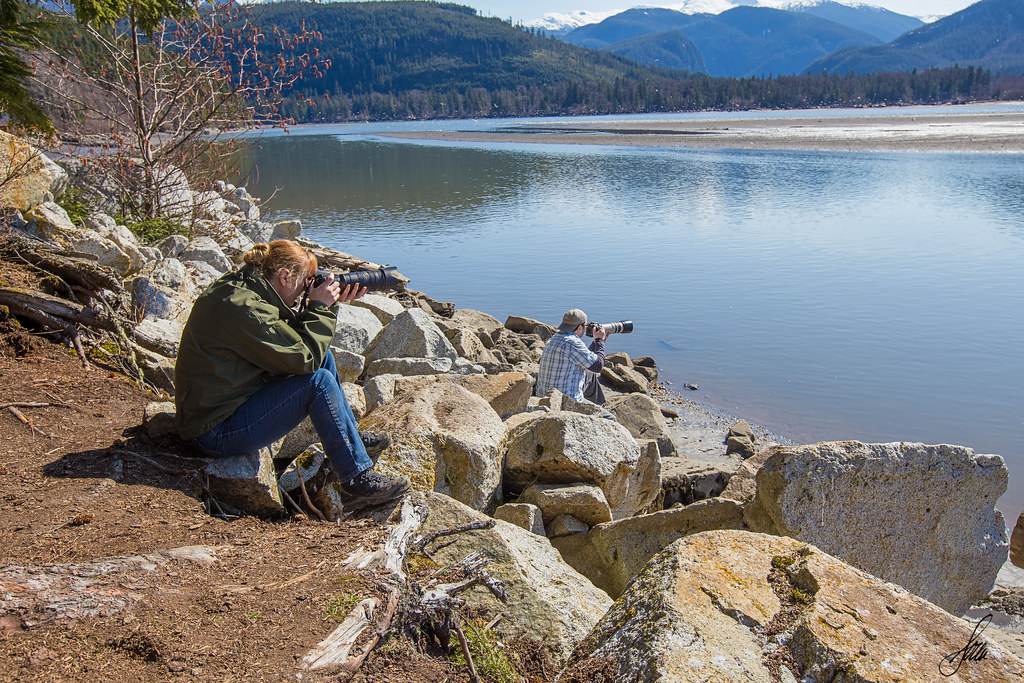
Mike & Lisa Shooting
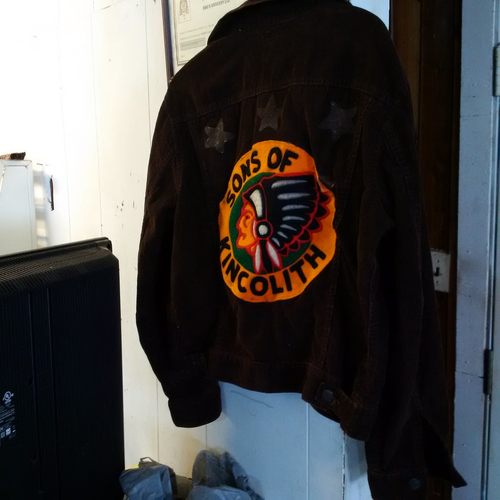
Sons of Kincolith
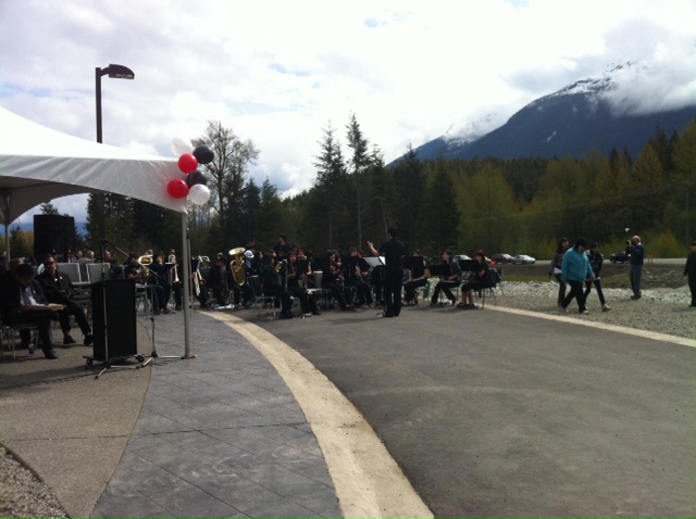
In Greenville for Nisga'a Museum Opening
Topographic Map of Mount Monkley, Nisga'a, BC V8G, Canada
Find elevation by address:

Places near Mount Monkley, Nisga'a, BC V8G, Canada:
Spruce Drive
Greenville
Nisga'a
Nass Peak
Otter Mountain
Salmon Glacier
Mount Pattullo
Stewart
American Peak
Recent Searches:
- Elevation of Corso Fratelli Cairoli, 35, Macerata MC, Italy
- Elevation of Tallevast Rd, Sarasota, FL, USA
- Elevation of 4th St E, Sonoma, CA, USA
- Elevation of Black Hollow Rd, Pennsdale, PA, USA
- Elevation of Oakland Ave, Williamsport, PA, USA
- Elevation of Pedrógão Grande, Portugal
- Elevation of Klee Dr, Martinsburg, WV, USA
- Elevation of Via Roma, Pieranica CR, Italy
- Elevation of Tavkvetili Mountain, Georgia
- Elevation of Hartfords Bluff Cir, Mt Pleasant, SC, USA