Elevation of Mount McCusker, Peace River B, BC V0C, Canada
Location: Canada > British Columbia > Peace River > Peace River B >
Longitude: -123.92527
Latitude: 57.0813888
Elevation: 1801m / 5909feet
Barometric Pressure: 81KPa
Elevation Map:
Satellite Map:
Related Photos:
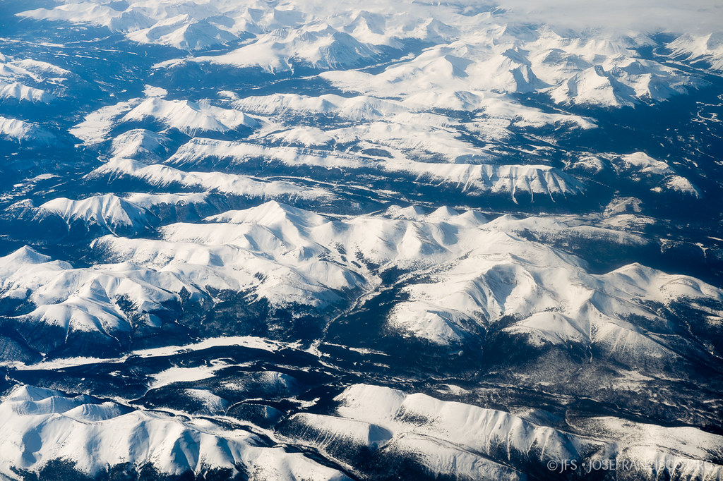
Peace River Country
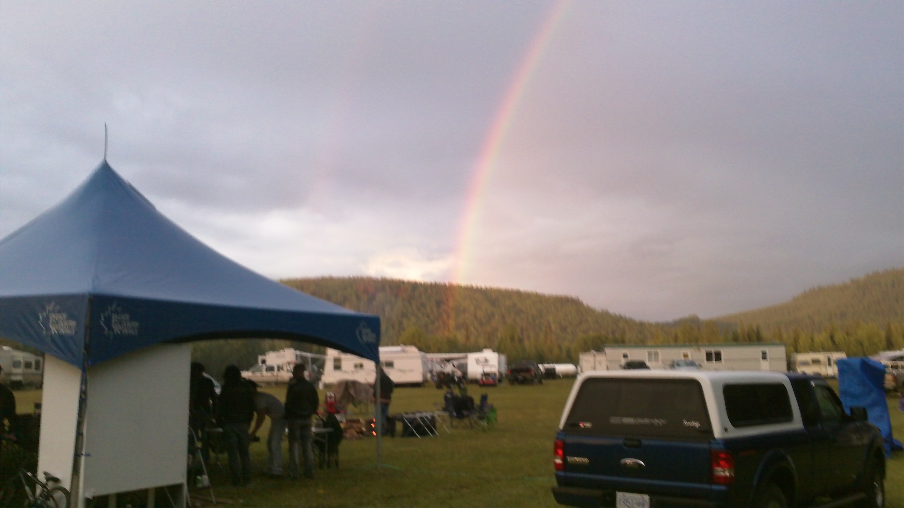
Double Bows
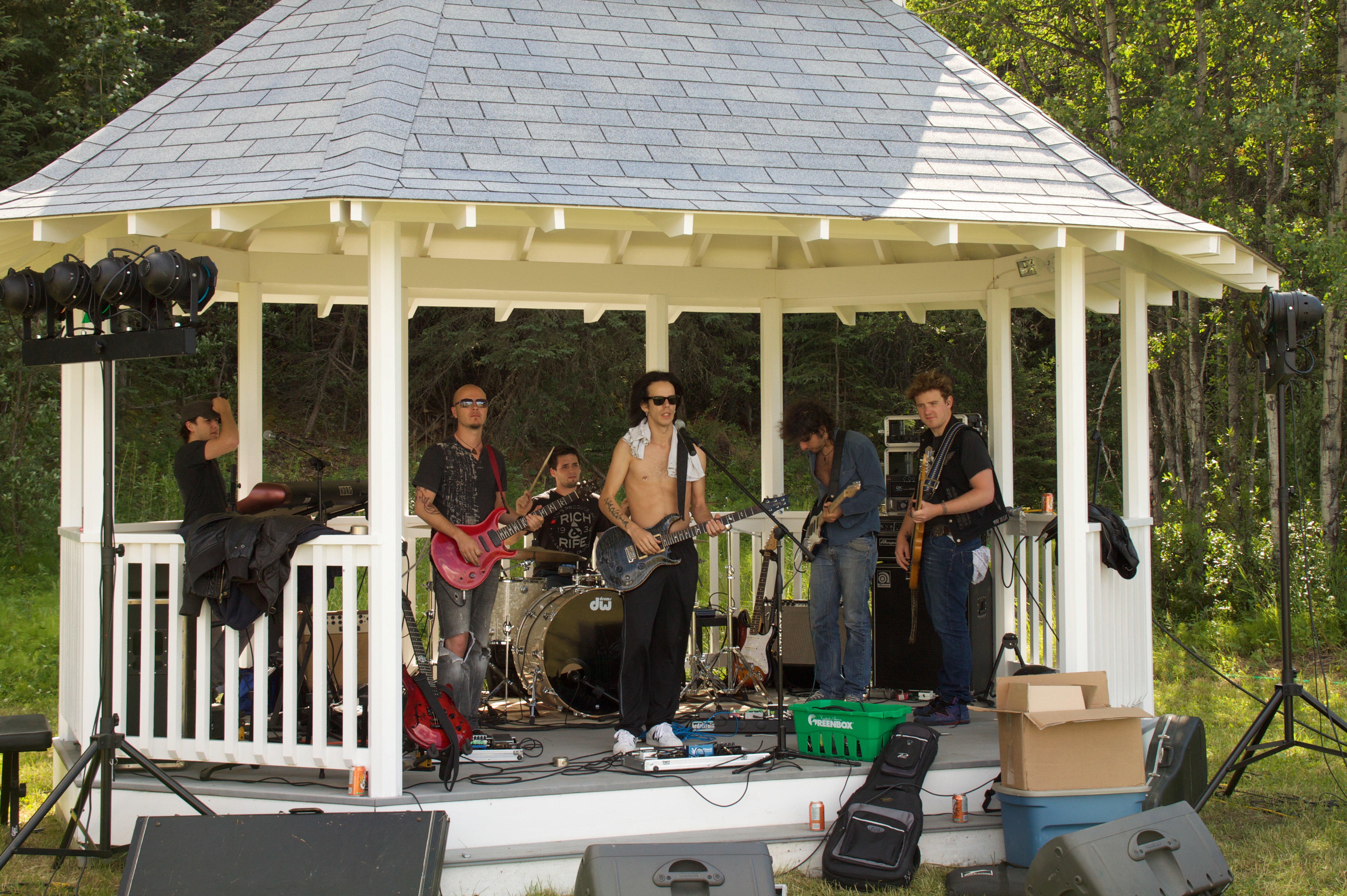
Northern Groove

Northern Groove
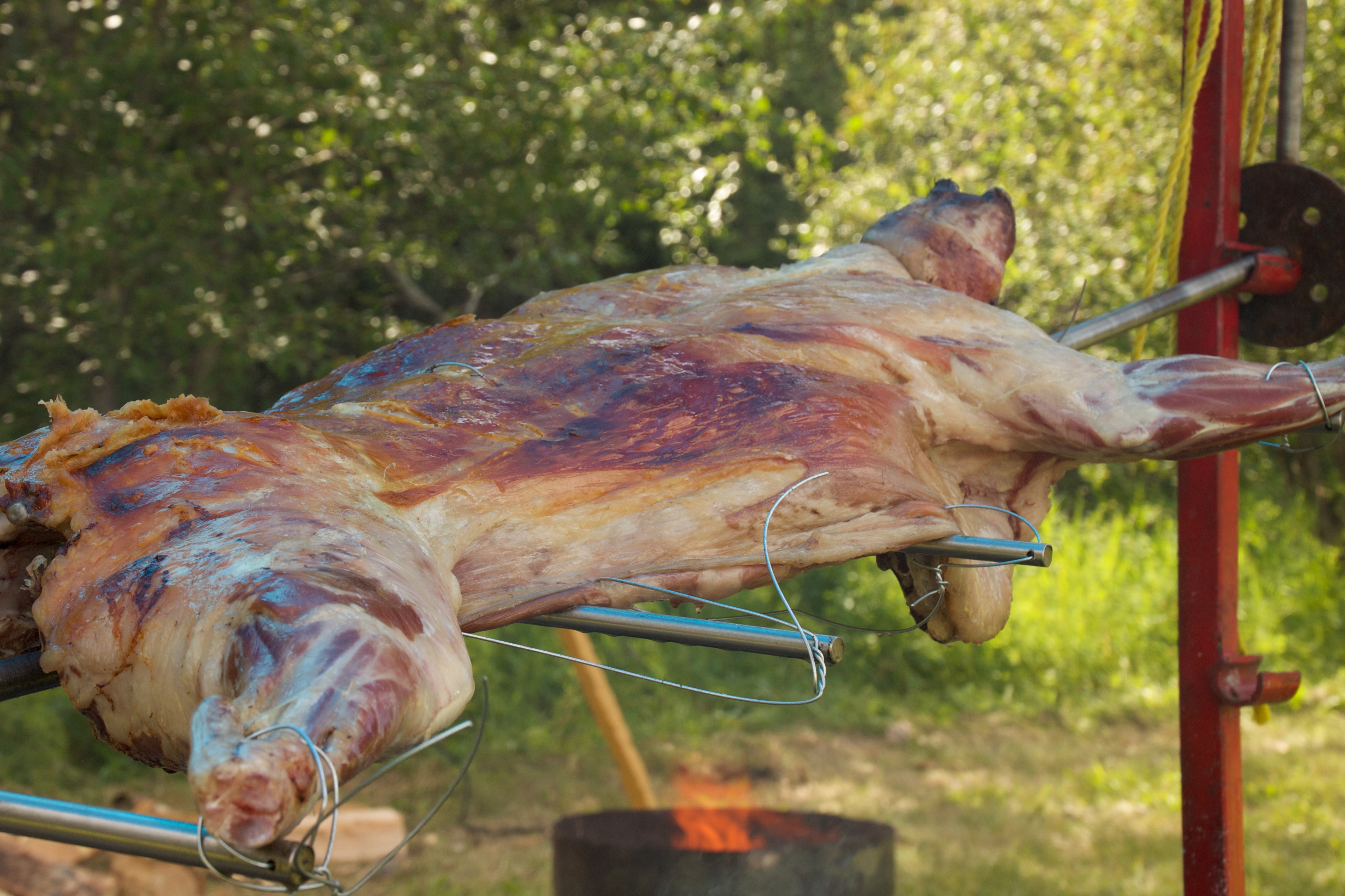
Roasted Lamb
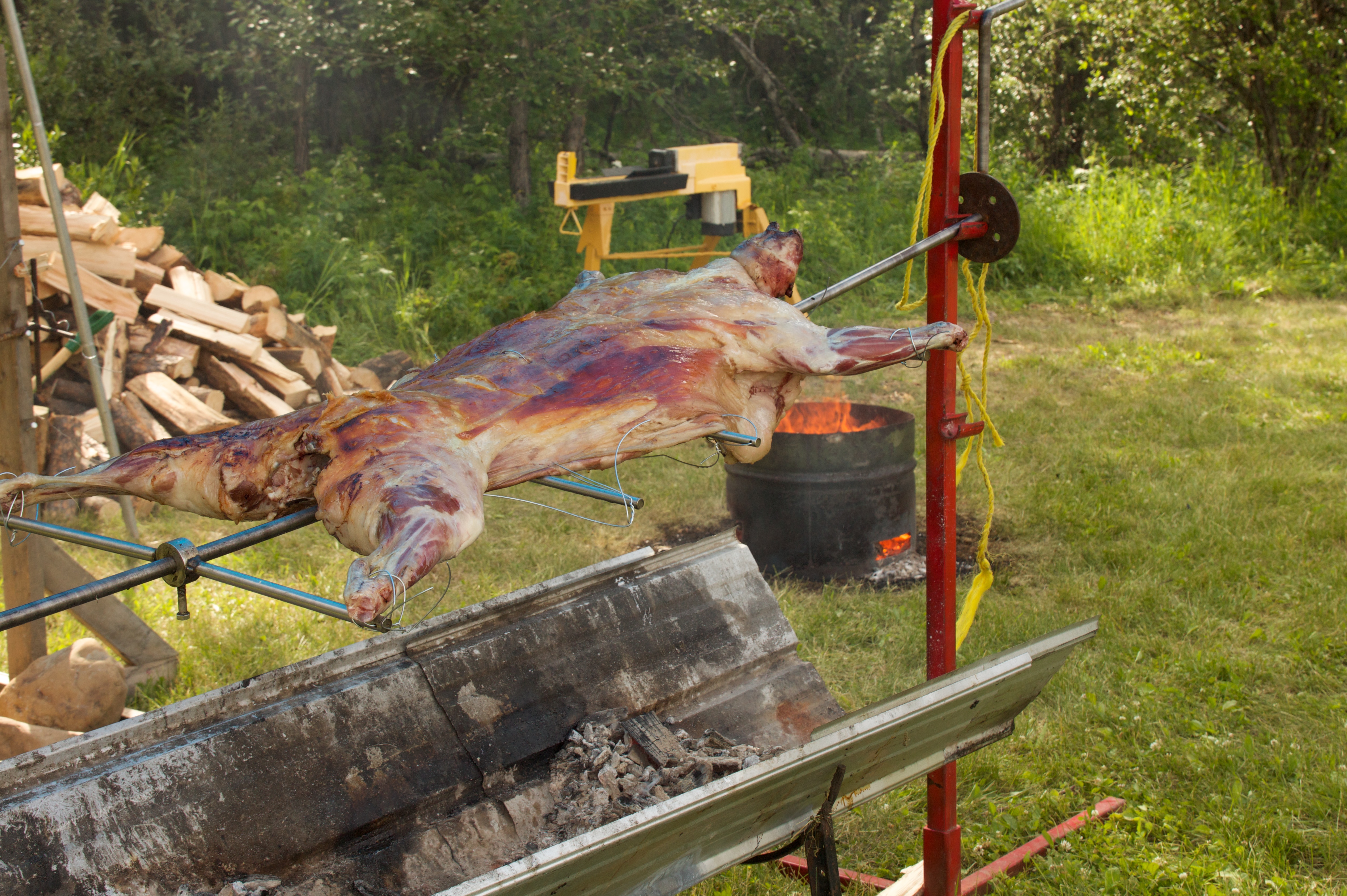
Roasted Lamb
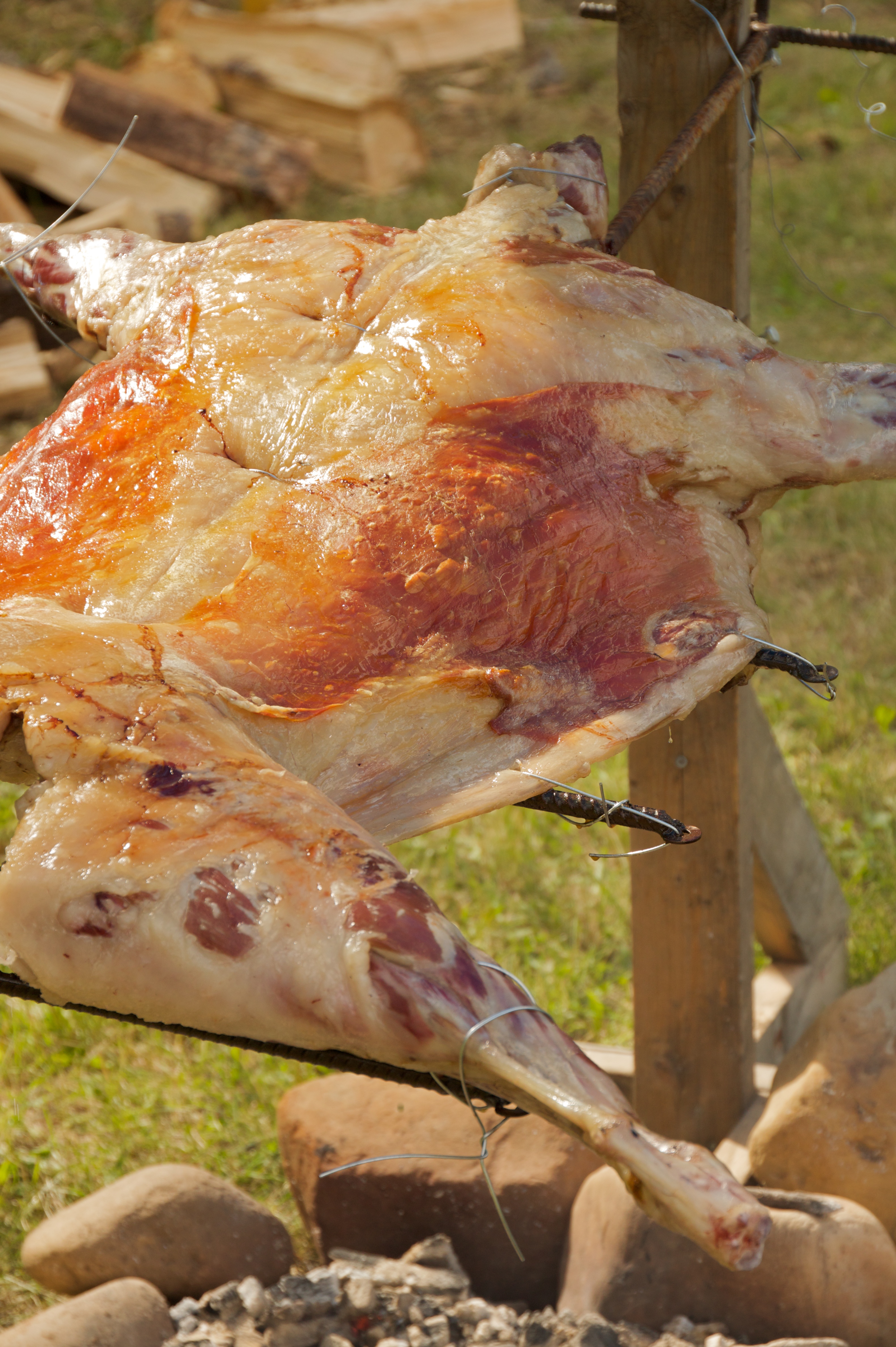
Roasted Lamb
Topographic Map of Mount McCusker, Peace River B, BC V0C, Canada
Find elevation by address:

Places near Mount McCusker, Peace River B, BC V0C, Canada:
Peace River B
Mount Kenny
Mount Ulysses
Stringer S4
Mount Circe
Prophet River Hot Springs Provincial Park
Trojan Peak
Akie R
Recent Searches:
- Elevation of Corso Fratelli Cairoli, 35, Macerata MC, Italy
- Elevation of Tallevast Rd, Sarasota, FL, USA
- Elevation of 4th St E, Sonoma, CA, USA
- Elevation of Black Hollow Rd, Pennsdale, PA, USA
- Elevation of Oakland Ave, Williamsport, PA, USA
- Elevation of Pedrógão Grande, Portugal
- Elevation of Klee Dr, Martinsburg, WV, USA
- Elevation of Via Roma, Pieranica CR, Italy
- Elevation of Tavkvetili Mountain, Georgia
- Elevation of Hartfords Bluff Cir, Mt Pleasant, SC, USA