Elevation of Mount Longstaff, Fraser-Fort George H, BC V0E, Canada
Location: Canada > British Columbia > Fraser-fort George > Fraser-fort George H >
Longitude: -119.345
Latitude: 53.1833333
Elevation: 2956m / 9698feet
Barometric Pressure: 70KPa
Elevation Map:
Satellite Map:
Related Photos:
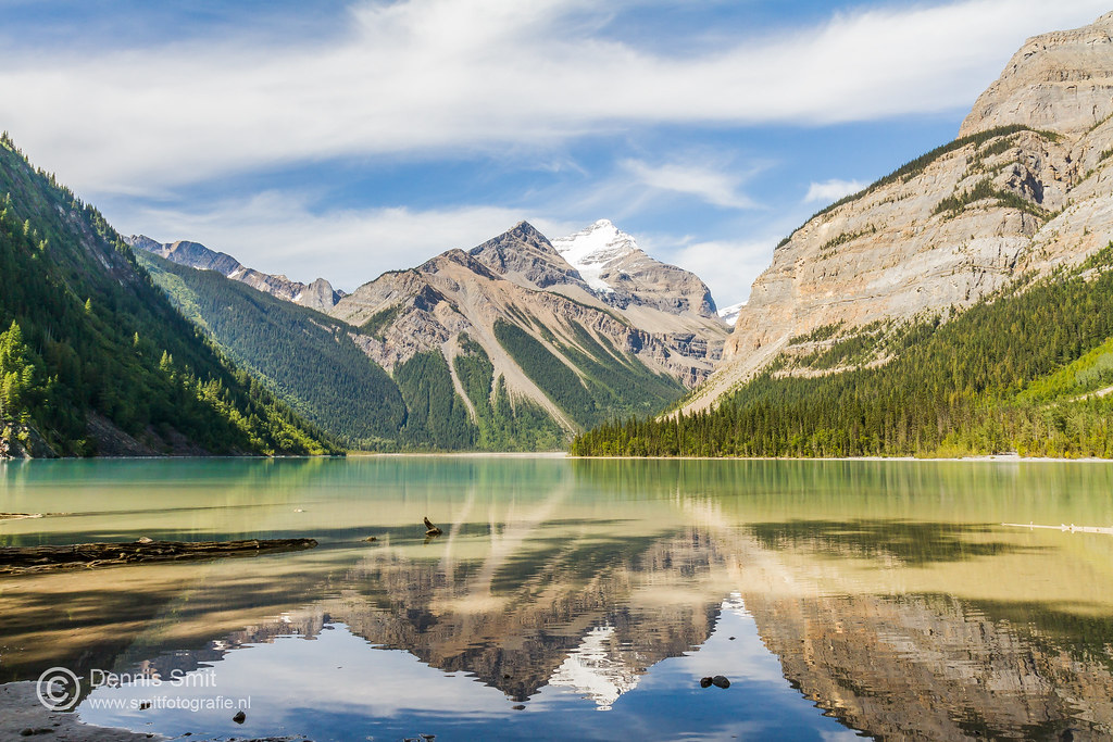
Kinney Lake - Mount Robson Provincial Park
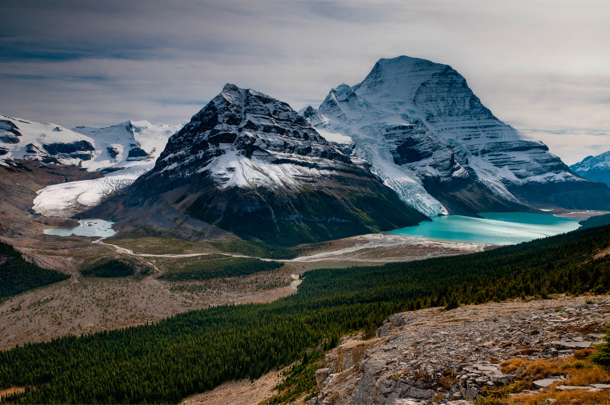
100918_JTSg_4624_f.jpg
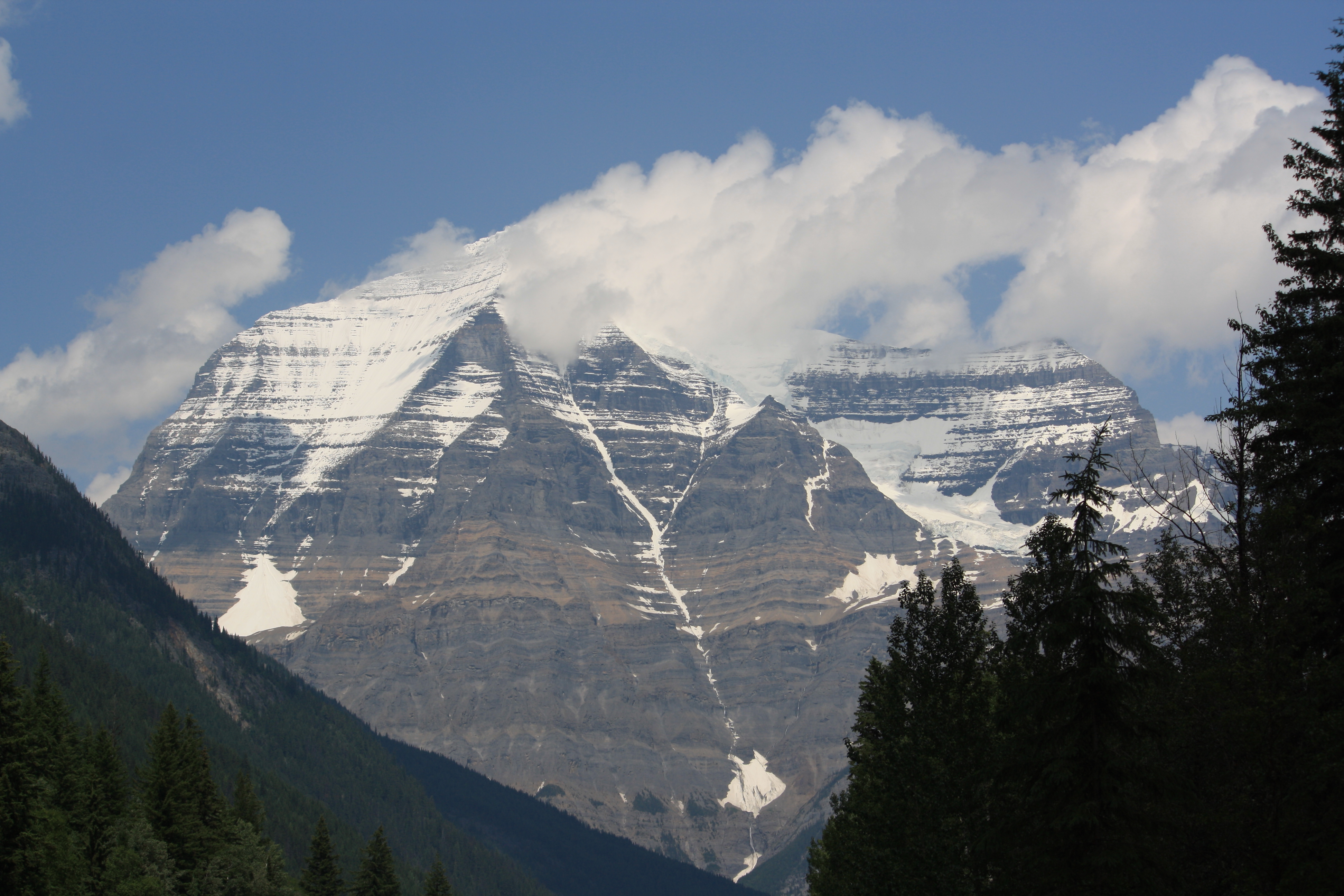
Mt. Robson
Topographic Map of Mount Longstaff, Fraser-Fort George H, BC V0E, Canada
Find elevation by address:

Places near Mount Longstaff, Fraser-Fort George H, BC V0E, Canada:
Holmes R
Mount Phillips
Palu Mountain
Devout Peak
Celtic Ne4
Mount Goslin
Mount Robson
Berg Lake
Mount Robson
Tete Jaune Lodge - Campground
Tête Jaune Cache
Overlander Mountain
Resplendent Mountain
Swoda Mountain
Trans-Canada Hwy, Fraser-Fort George H, BC V0E, Canada
Calumet Peak
Valemount Hotel
Valemount
Red Pass
Razor Peak
Recent Searches:
- Elevation of Corso Fratelli Cairoli, 35, Macerata MC, Italy
- Elevation of Tallevast Rd, Sarasota, FL, USA
- Elevation of 4th St E, Sonoma, CA, USA
- Elevation of Black Hollow Rd, Pennsdale, PA, USA
- Elevation of Oakland Ave, Williamsport, PA, USA
- Elevation of Pedrógão Grande, Portugal
- Elevation of Klee Dr, Martinsburg, WV, USA
- Elevation of Via Roma, Pieranica CR, Italy
- Elevation of Tavkvetili Mountain, Georgia
- Elevation of Hartfords Bluff Cir, Mt Pleasant, SC, USA