Elevation of Mount Hornickel, East Kootenay A, BC V0B, Canada
Location: Canada > British Columbia > East Kootenay > Elkford >
Longitude: -115.095
Latitude: 50.2566666
Elevation: 2937m / 9636feet
Barometric Pressure: 71KPa
Elevation Map:
Satellite Map:
Related Photos:
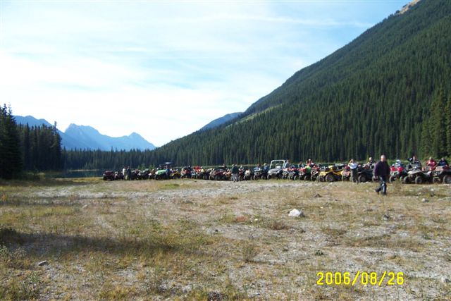
Sept.25- 28- 2006 BC Quad Trip 028.jpg
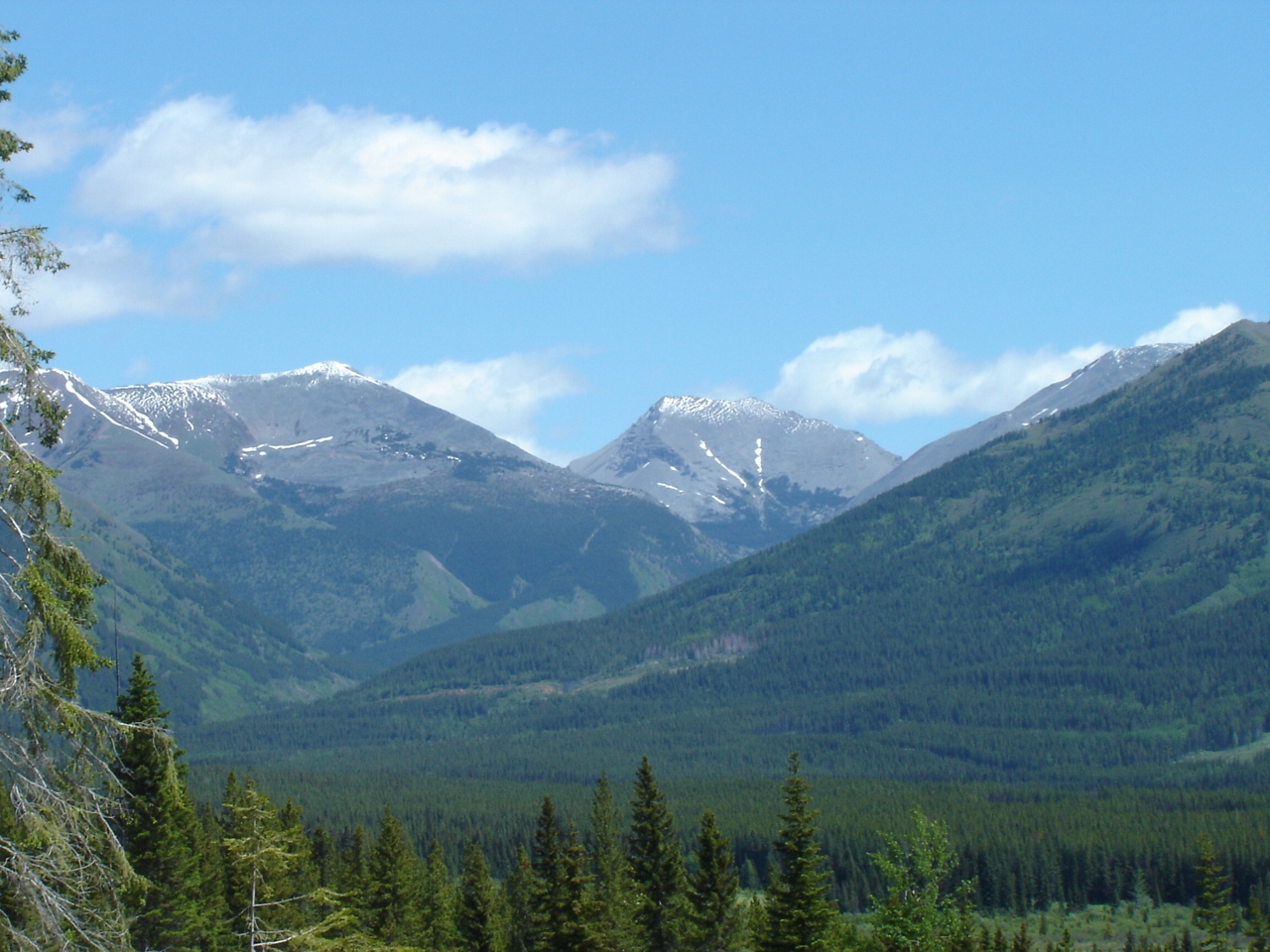
Looking into Aldridge Creek
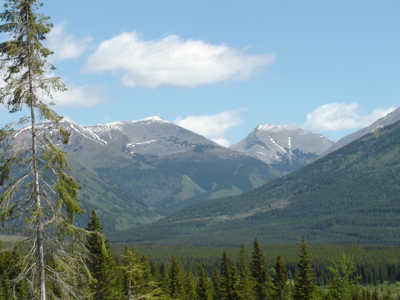
Looking at Aldridge and the burning coal seam
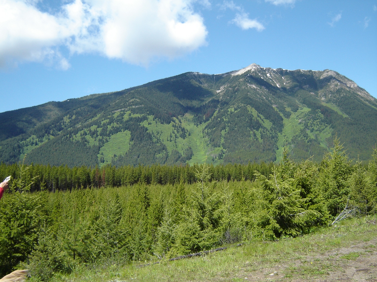
Slides north of harvest area
Topographic Map of Mount Hornickel, East Kootenay A, BC V0B, Canada
Find elevation by address:

Places near Mount Hornickel, East Kootenay A, BC V0B, Canada:
V0b 1h0
Mount Abruzzi
Mount Tuxford
Mount Harrison
Weary Ridge
Mount Veits
Courcelette Nw2
Mount Loomis
Courcelette Nw3
Mount Mcphail
Muir Sw2
Mount Odlum
1169 Nashton Crescent
Mount Bishop
Elkford
Courcelette Peak
Gill Peak
Mount Joffre
Mount Shankland
Storelk Mountain
Recent Searches:
- Elevation of Corso Fratelli Cairoli, 35, Macerata MC, Italy
- Elevation of Tallevast Rd, Sarasota, FL, USA
- Elevation of 4th St E, Sonoma, CA, USA
- Elevation of Black Hollow Rd, Pennsdale, PA, USA
- Elevation of Oakland Ave, Williamsport, PA, USA
- Elevation of Pedrógão Grande, Portugal
- Elevation of Klee Dr, Martinsburg, WV, USA
- Elevation of Via Roma, Pieranica CR, Italy
- Elevation of Tavkvetili Mountain, Georgia
- Elevation of Hartfords Bluff Cir, Mt Pleasant, SC, USA