Elevation of Mount Fisher, East Kootenay C, BC V0B, Canada
Location: Canada > British Columbia > East Kootenay > East Kootenay C >
Longitude: -115.485
Latitude: 49.6466666
Elevation: 2802m / 9193feet
Barometric Pressure: 72KPa
Elevation Map:
Satellite Map:
Related Photos:

Sunrise Over the Mountain and Through the Tree

Rainy Dock

Gloomy Rainy Day on Norbury Lake

Misty Mountain Morning Meadow

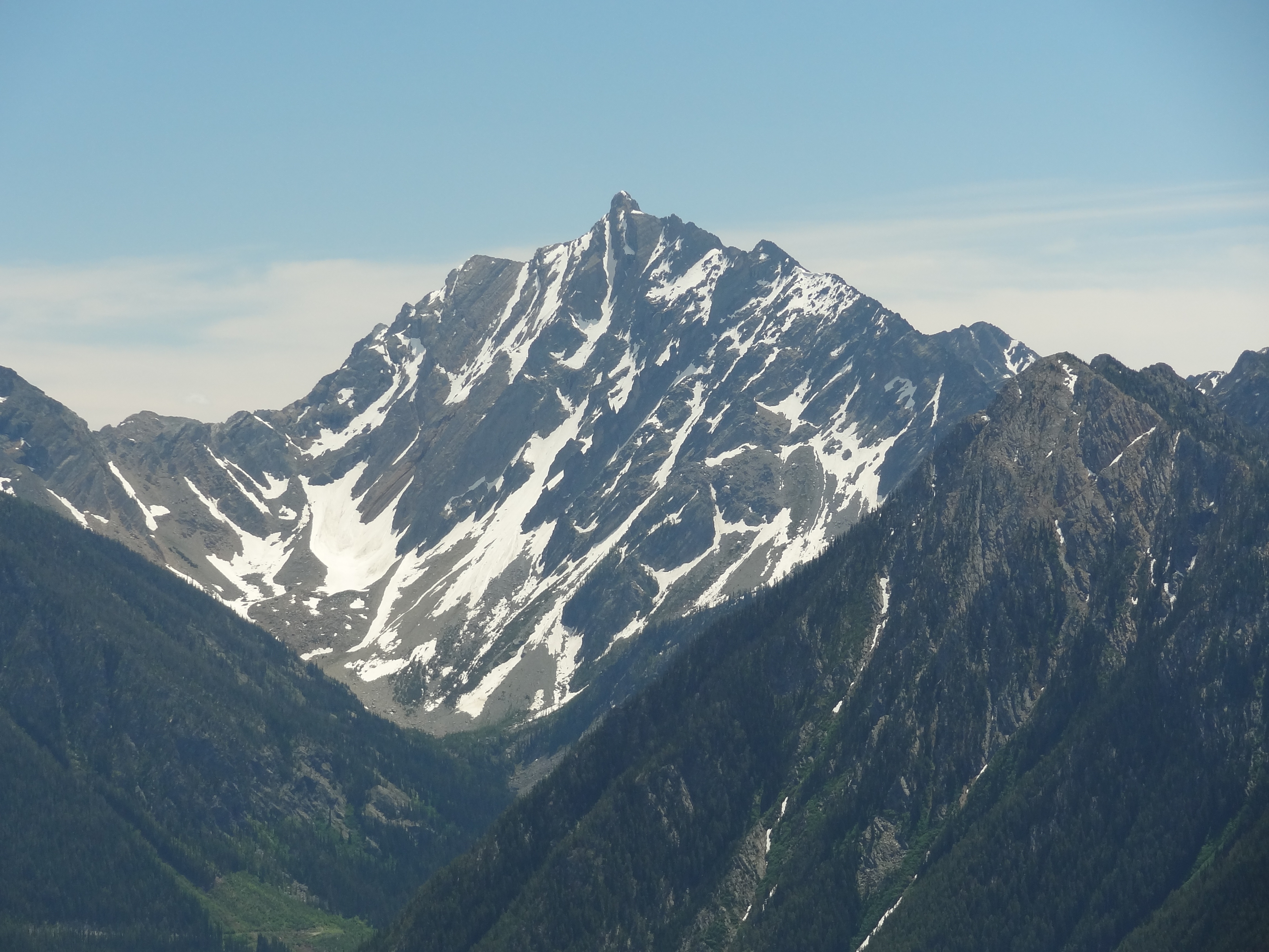
The Canadian Rockies
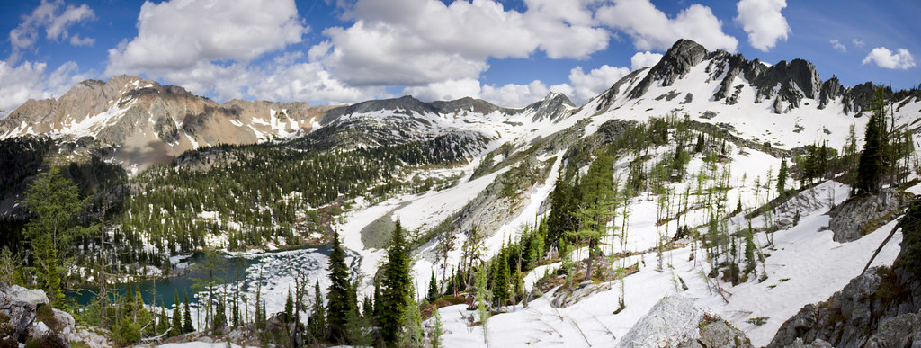
Tanglefoot Lake Panorama

View From Lakit Mountain

Cool Sunrise on Norbury Lake

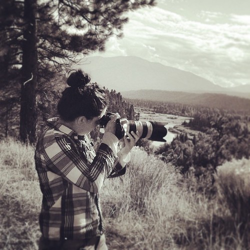
Unfiltered office with a view
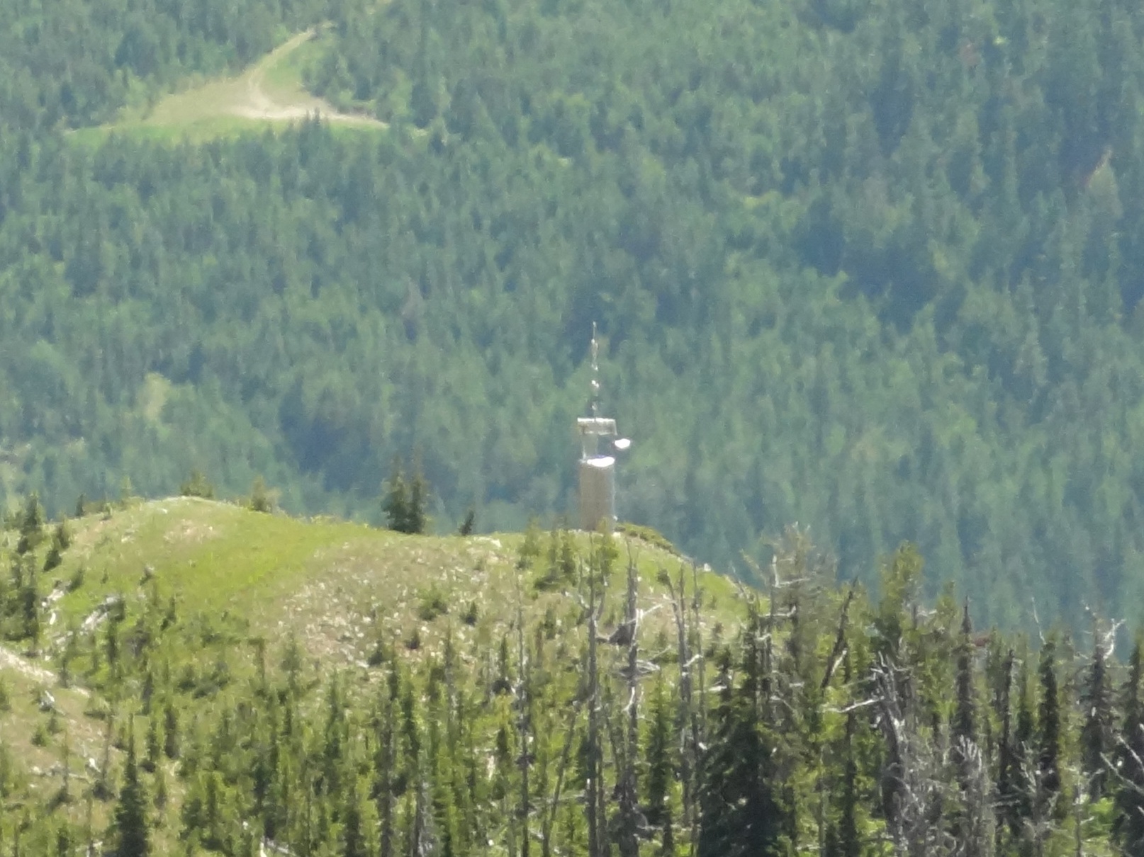
Radio Tower Viewed from Lakit Mountain peak
HOODOO 073

HOODOO 031
Blue, brown and white
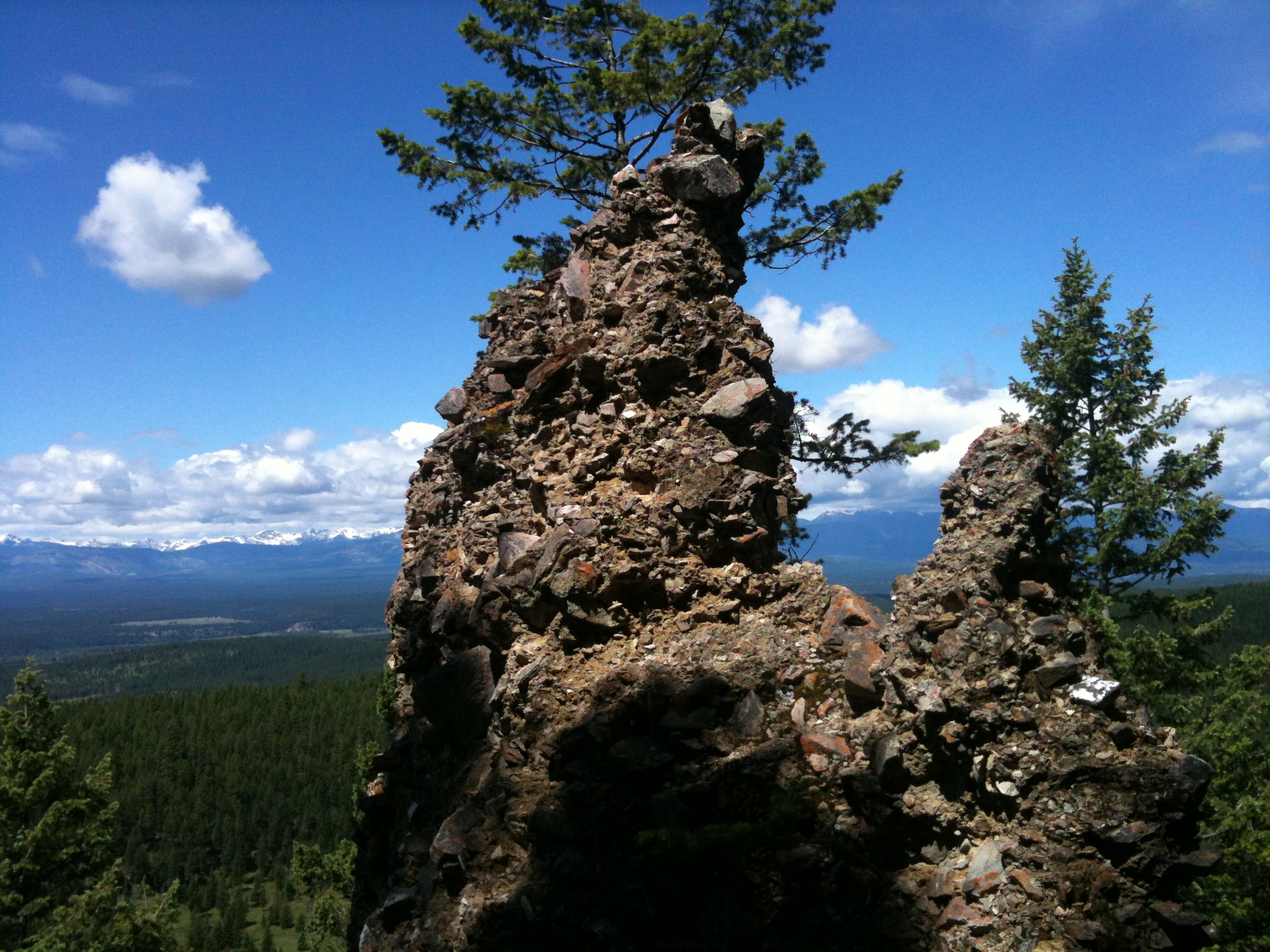
HOODOO 072
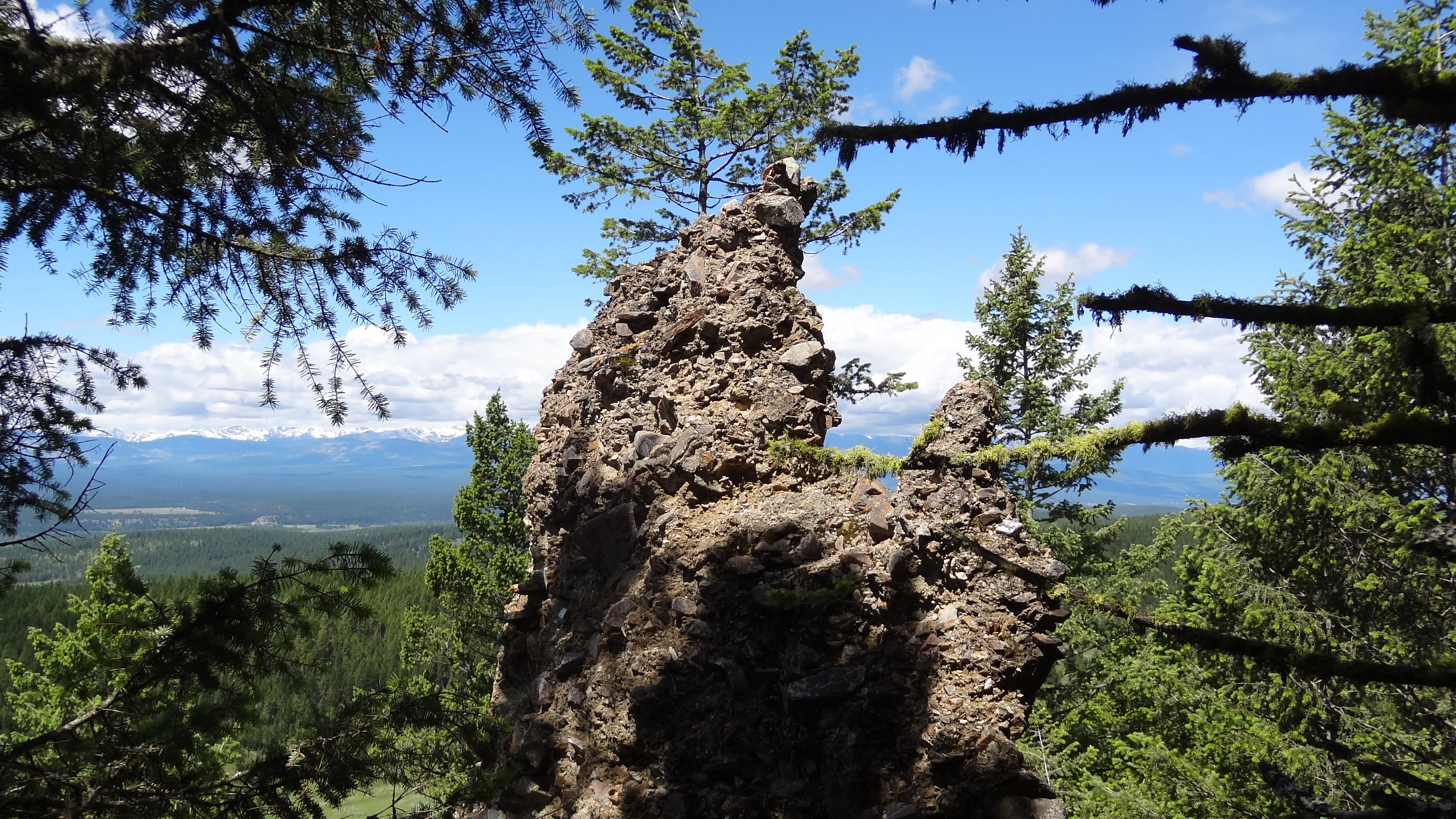
HOODOO 032
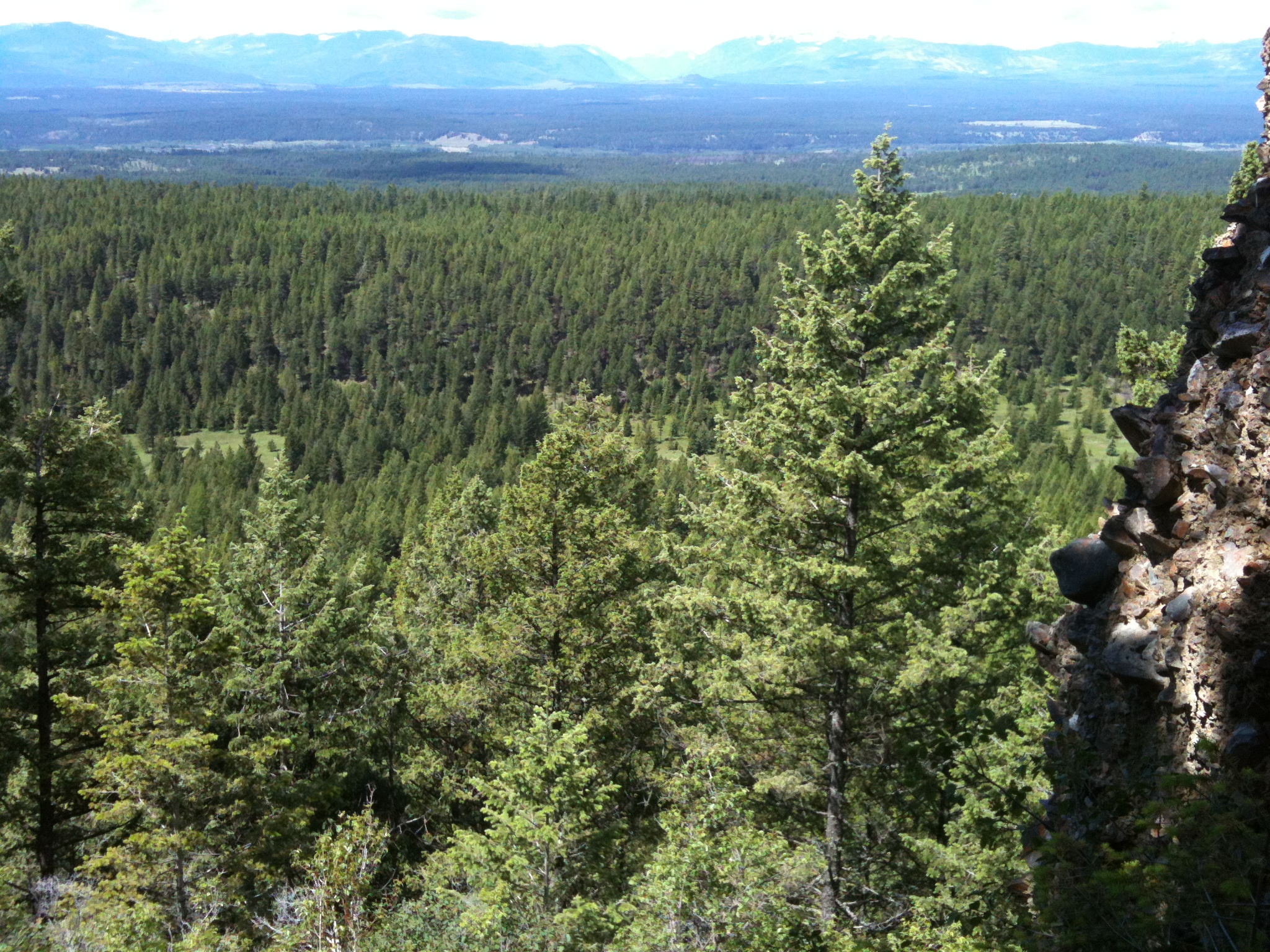
HOODOO 075
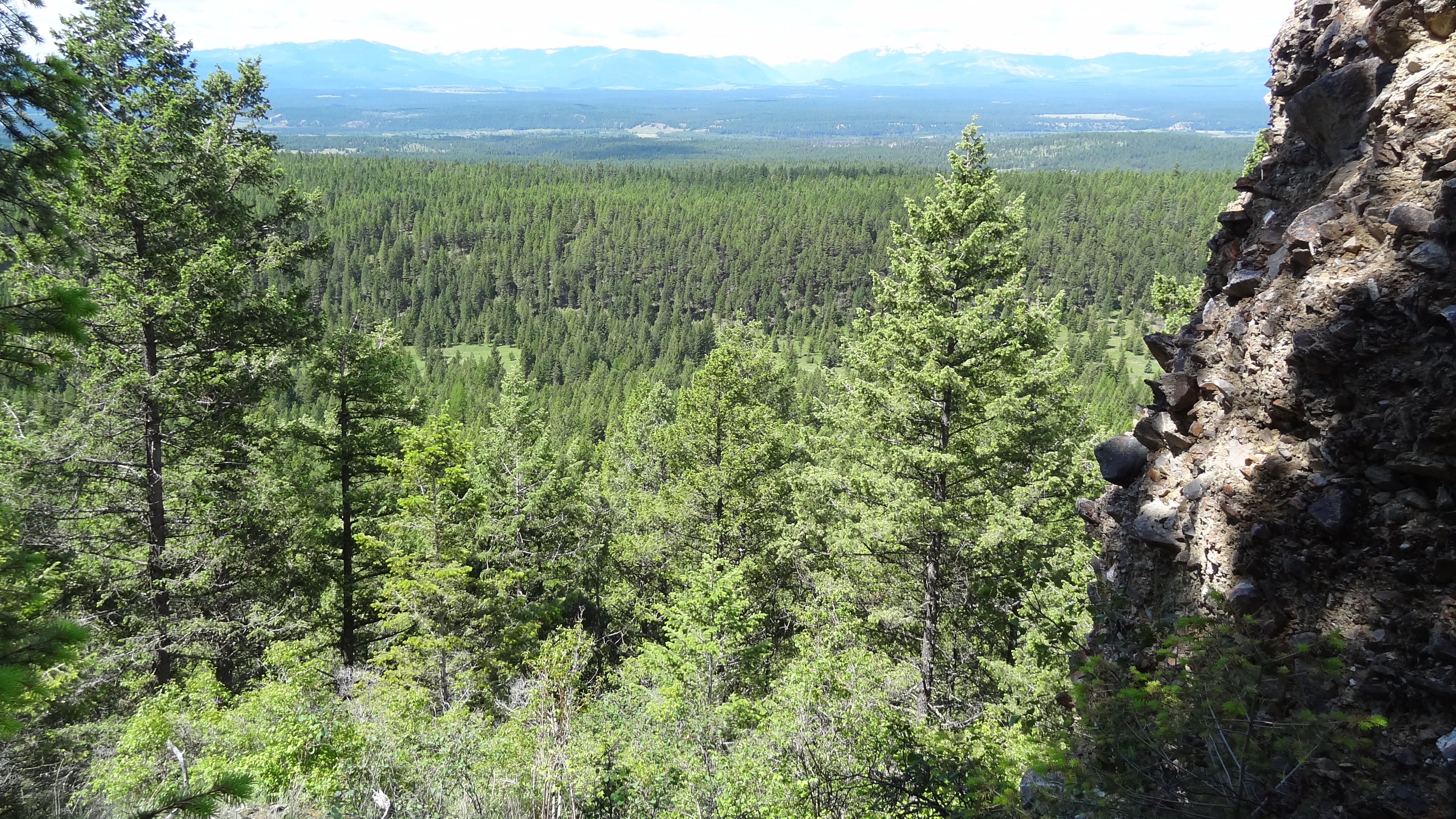
HOODOO 029

HOODOO 074
The Stand
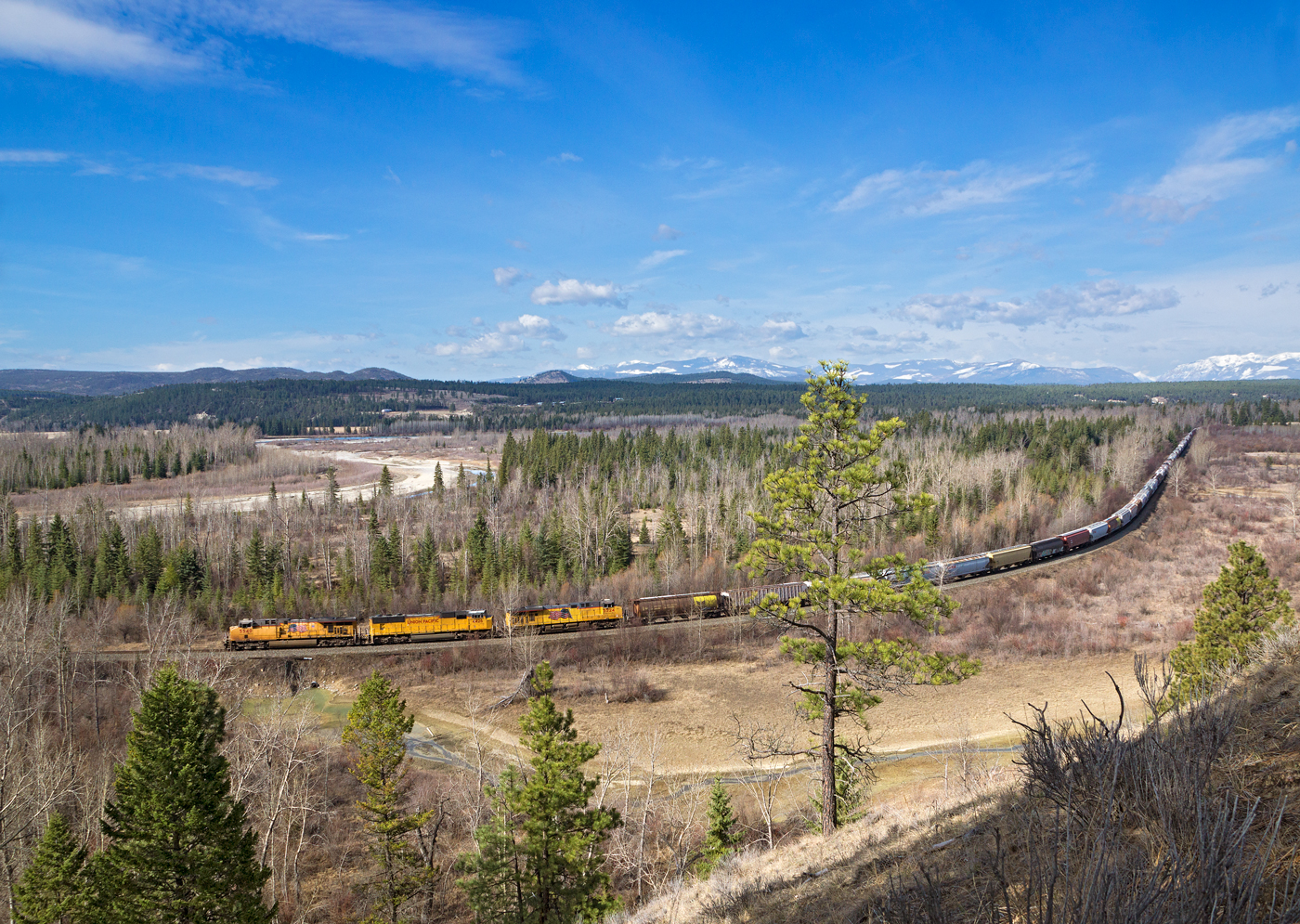
UP 5540 East @ Fort Steele, BC
Kootenay King Mine
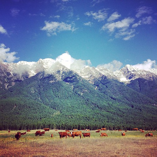
Came across these majestic creatures on the side of the road today. #Cranbrook #2fliesbc #beautifulbc #landscape #wildlife
The mountains here are stunning. #2fliesbc #beautifulbc #photographer
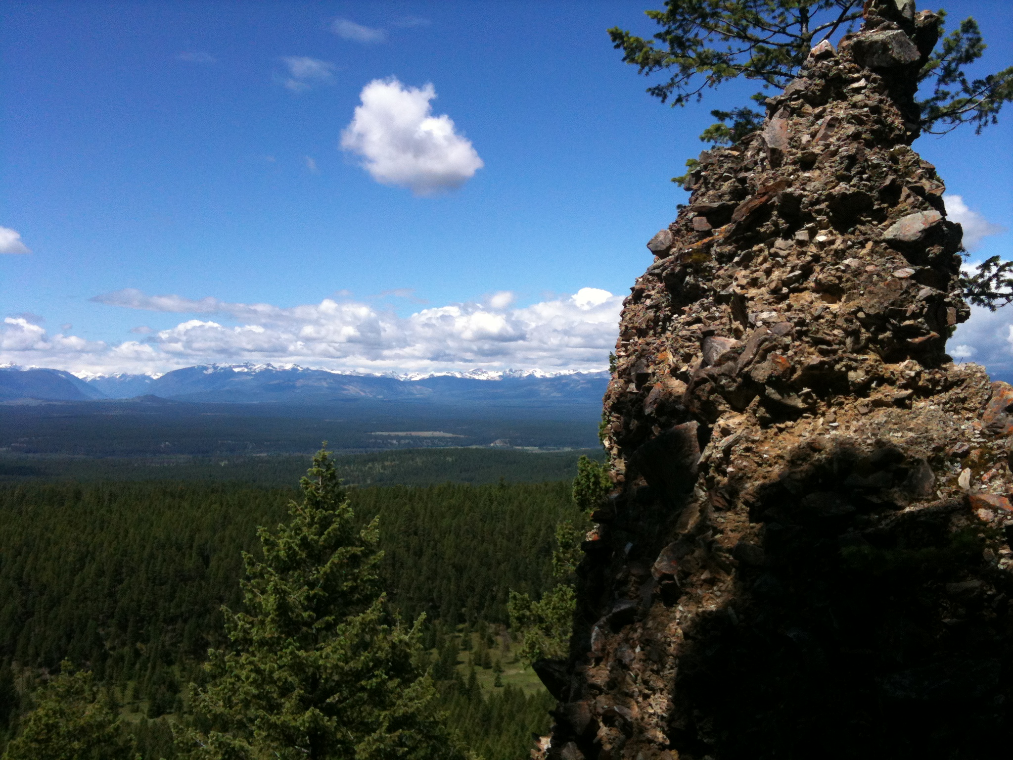
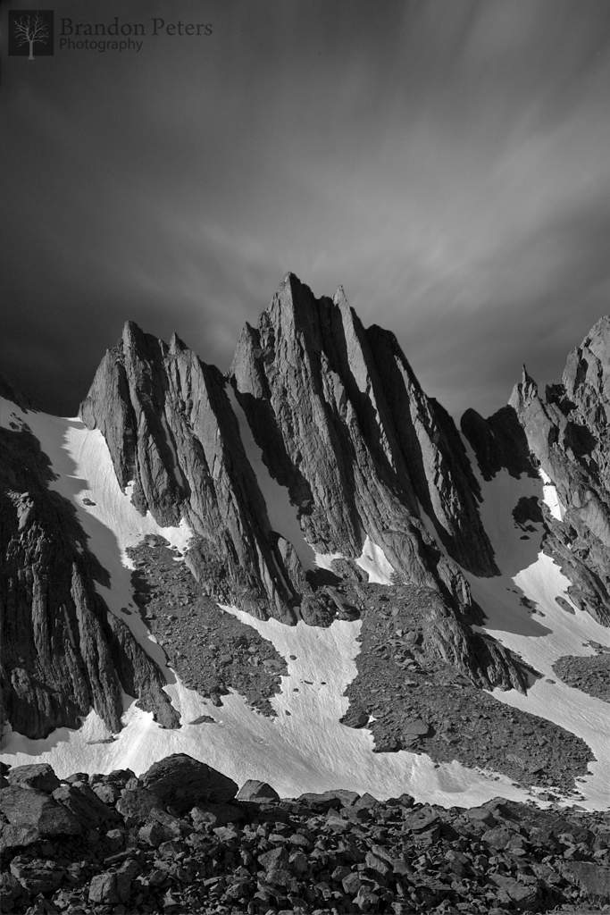
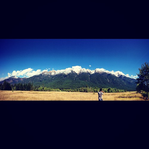
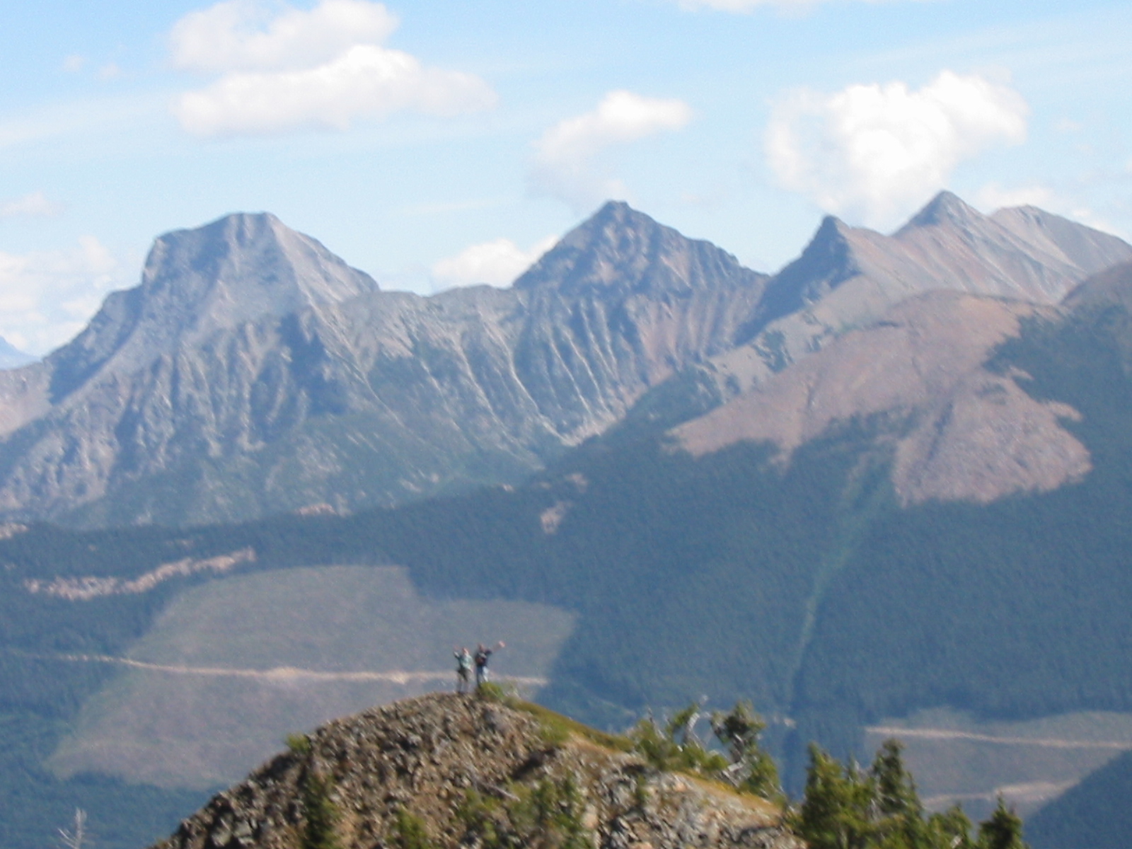
Fisher Peak From Lakit Mountain
The sight lines here are to die for. #photographersdream #landscape #2fliesbc
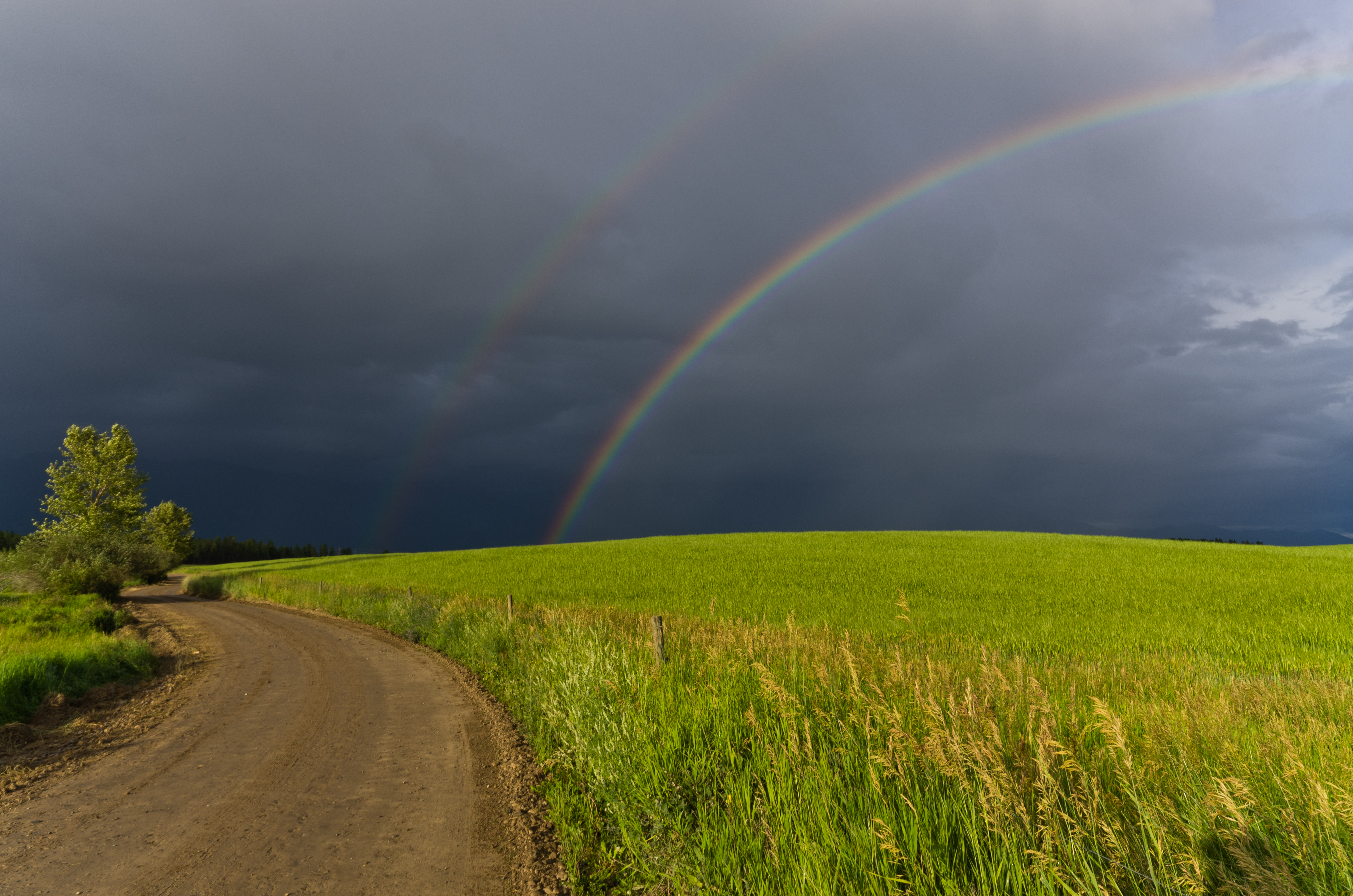
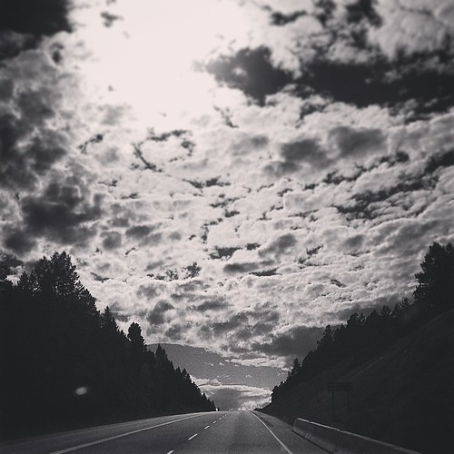
Country Road

Norbury Lake at Evening
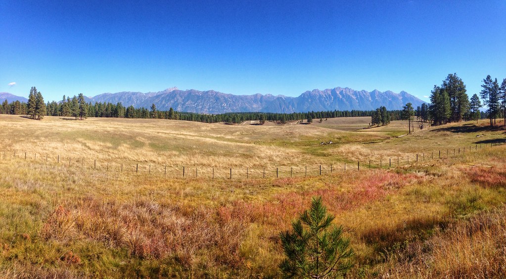
East Kootenay Pano
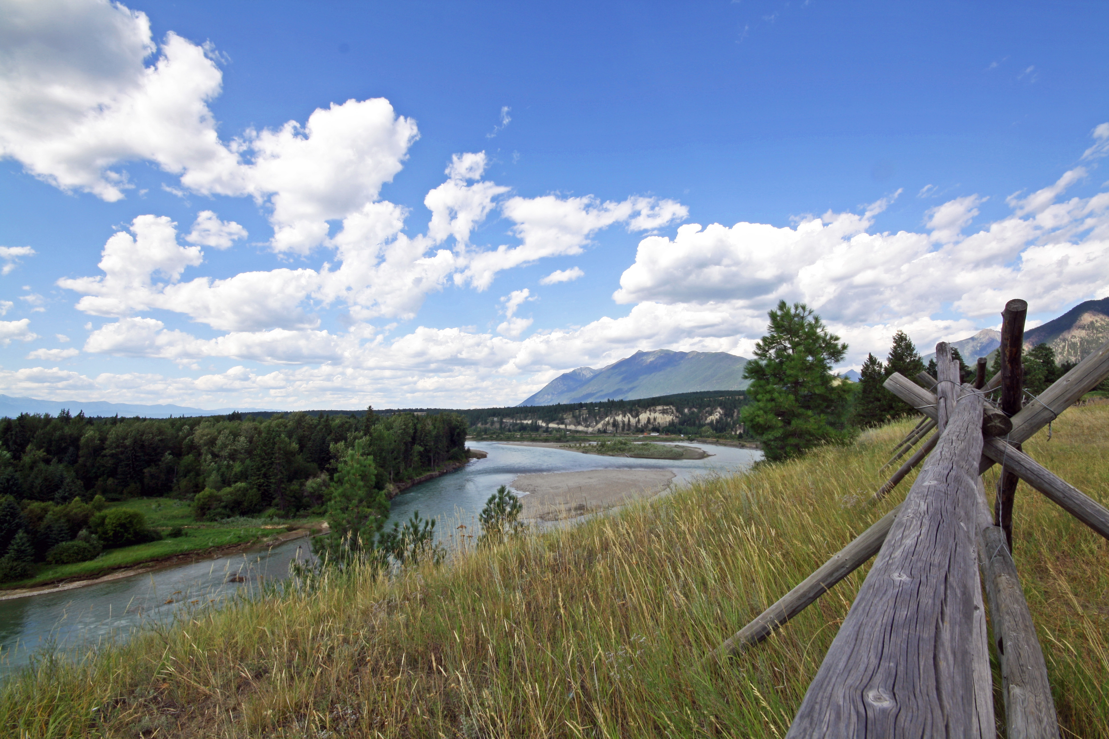
Fort Steele looking over the Kootenay River
On the open #road today exploring the horizons between #Wardner & Cranbrook #2fliesbc #roadtrip #landscape
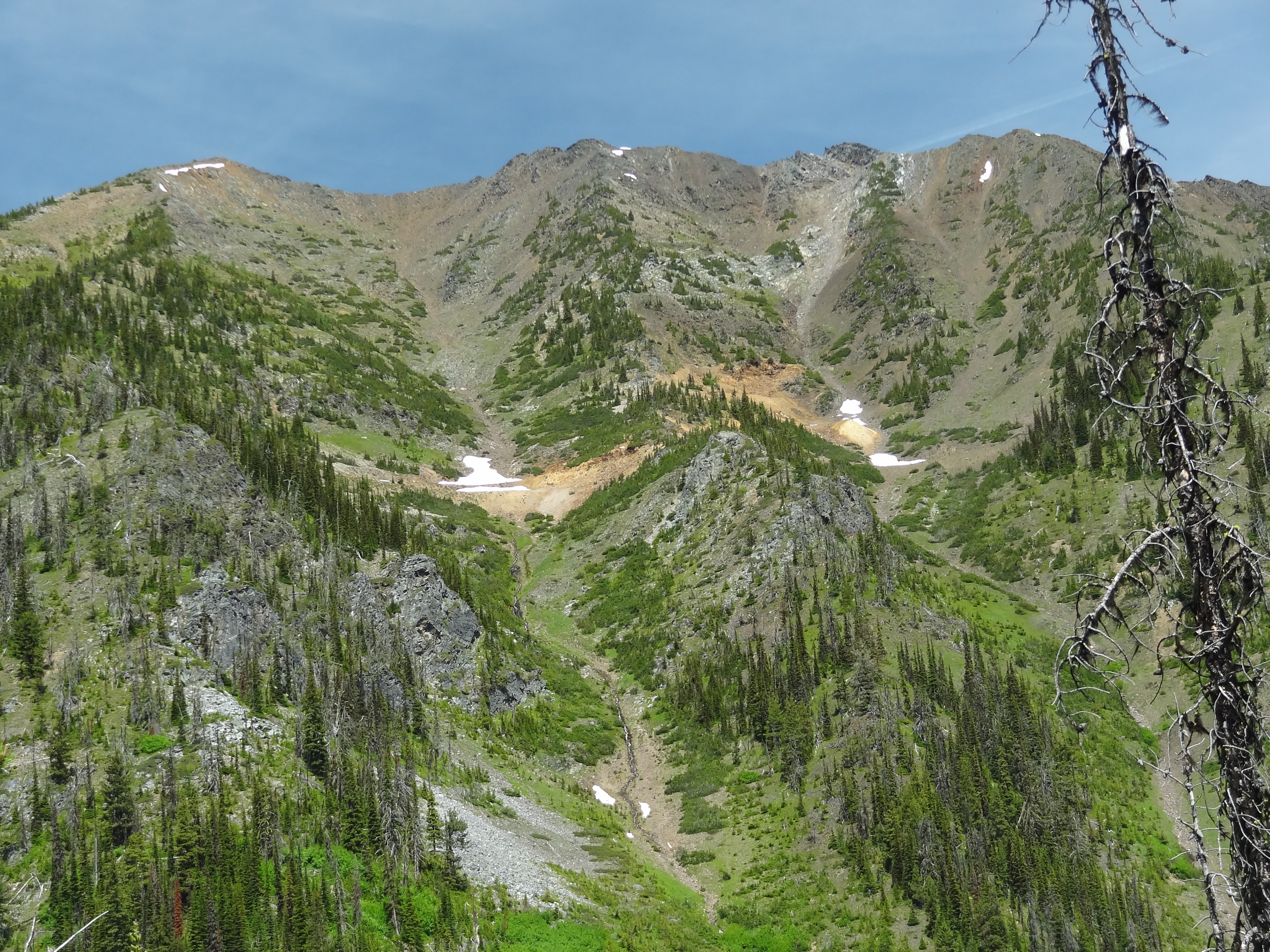
Lakit Mountain

Mallards, Wood Duck and turtles
Fort Steele
HOODOO 030
Topographic Map of Mount Fisher, East Kootenay C, BC V0B, Canada
Find elevation by address:

Places near Mount Fisher, East Kootenay C, BC V0B, Canada:
East Kootenay C
Tanglefoot Peak
Fort Steele
Fish Lake
Mount Stevens
Teepee Mountain
Wirth S2
Teepee N1
Teepee N3
Mount Wirth
Teepee N4
Wirth N2
1805 Mt Sinclair Ave N
Standard Hill Road
Mission Road, Cranbrook, BC V1C, Canada
2540 Godderis Rd
Travois Peak
Willowbrook Drive
Willowbrook Drive
Willowbrook Drive
Recent Searches:
- Elevation of Woolwine, VA, USA
- Elevation of Lumagwas Diversified Farmers Multi-Purpose Cooperative, Lumagwas, Adtuyon, RV32+MH7, Pangantucan, Bukidnon, Philippines
- Elevation of Homestead Ridge, New Braunfels, TX, USA
- Elevation of Orchard Road, Orchard Rd, Marlborough, NY, USA
- Elevation of 12 Hutchinson Woods Dr, Fletcher, NC, USA
- Elevation of Holloway Ave, San Francisco, CA, USA
- Elevation of Norfolk, NY, USA
- Elevation of - San Marcos Pass Rd, Santa Barbara, CA, USA
- Elevation of th Pl SE, Issaquah, WA, USA
- Elevation of 82- D Rd, Captain Cook, HI, USA